Elevation of Charlie Lake, British Columbia V0C, Canada
Location: Canada > British Columbia > Peace River > Peace River B >
Longitude: -120.99373
Latitude: 56.3365824
Elevation: 693m / 2274feet
Barometric Pressure: 93KPa
Elevation Map:
Satellite Map:
Related Photos:
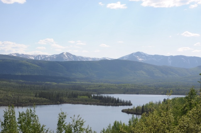
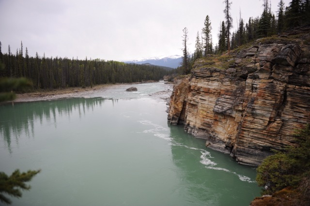
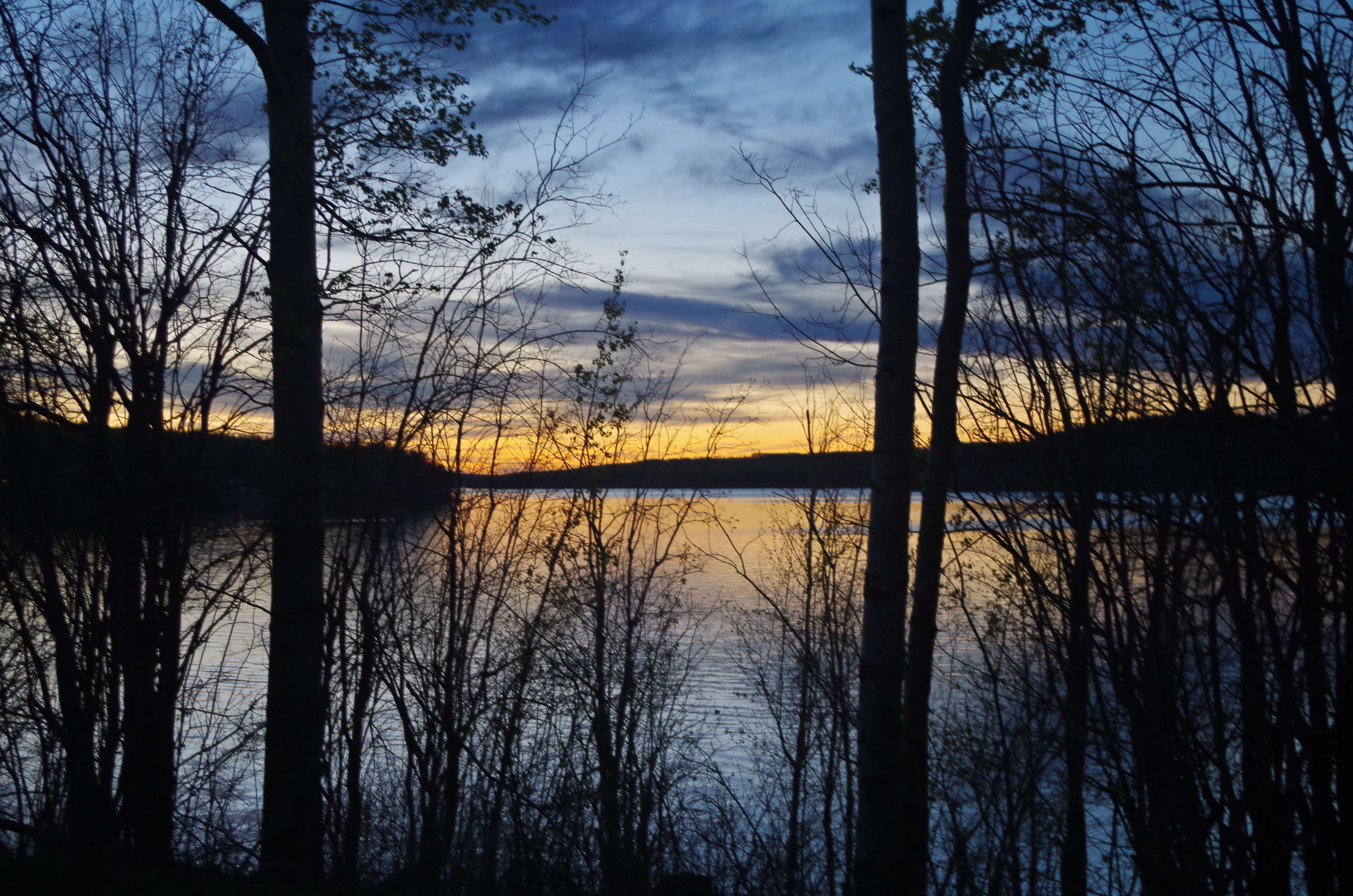
Lake view

Wildlife in Northern British Columbia
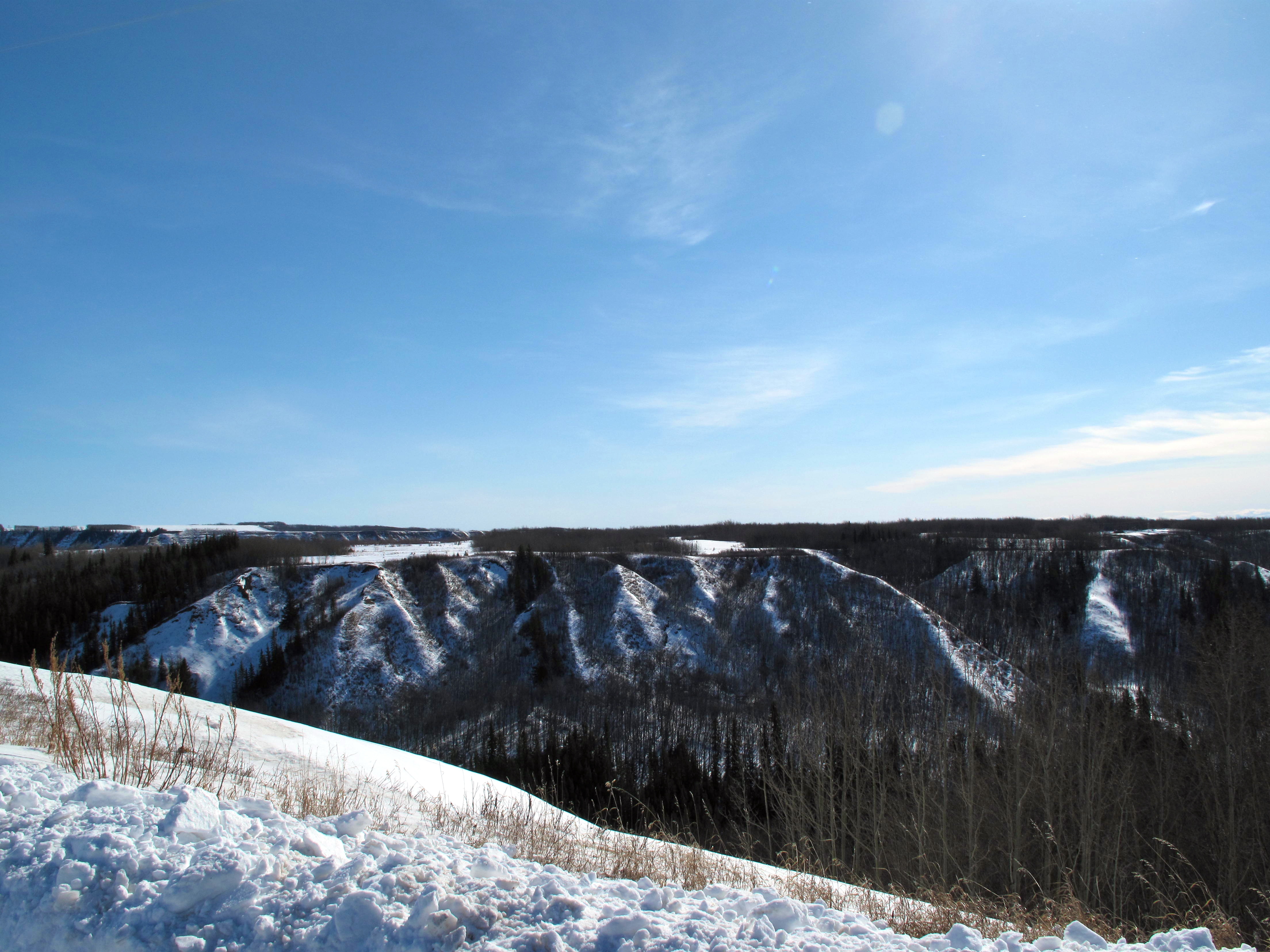
Coulee View
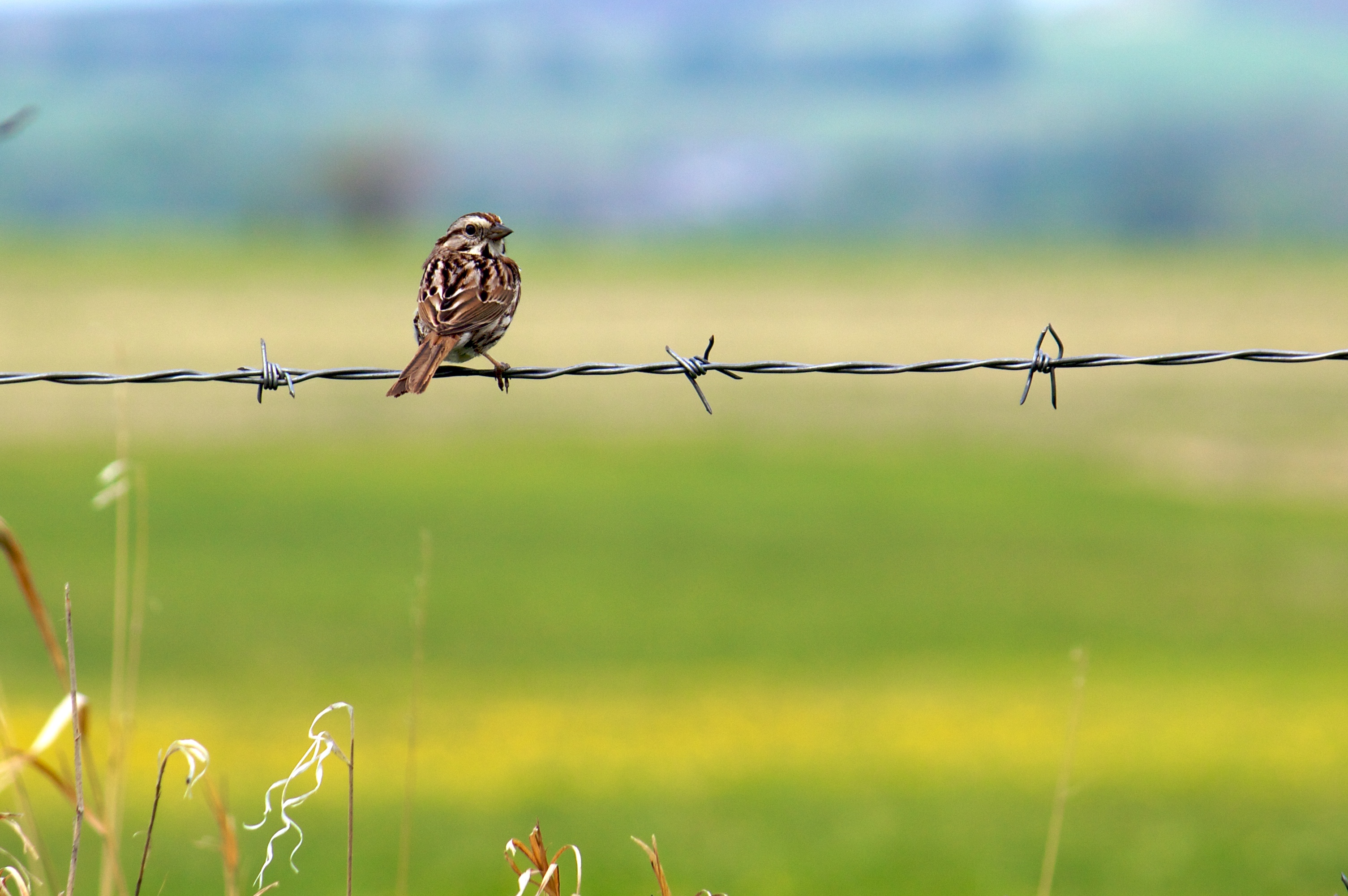
Song Sparrow (I think)
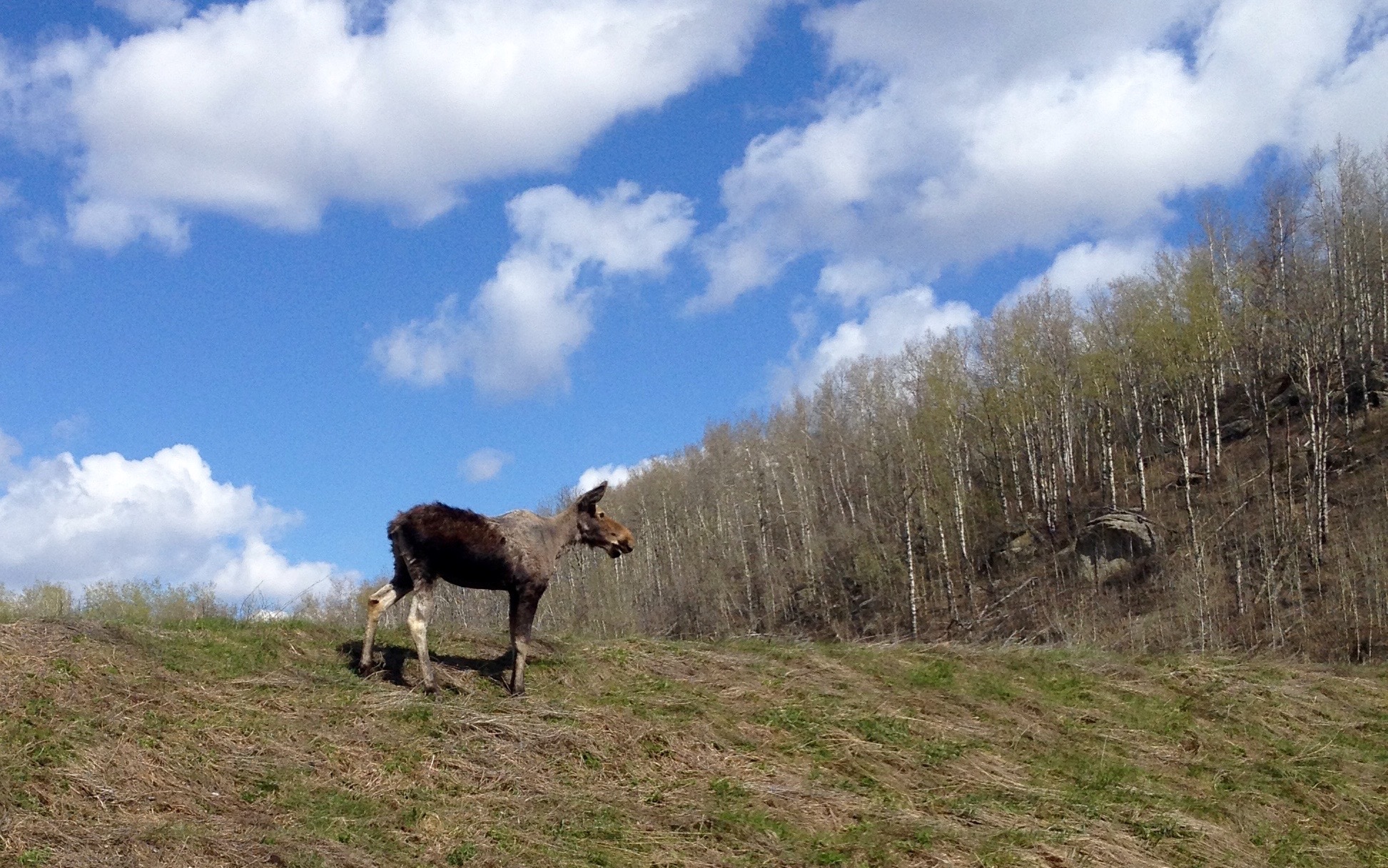
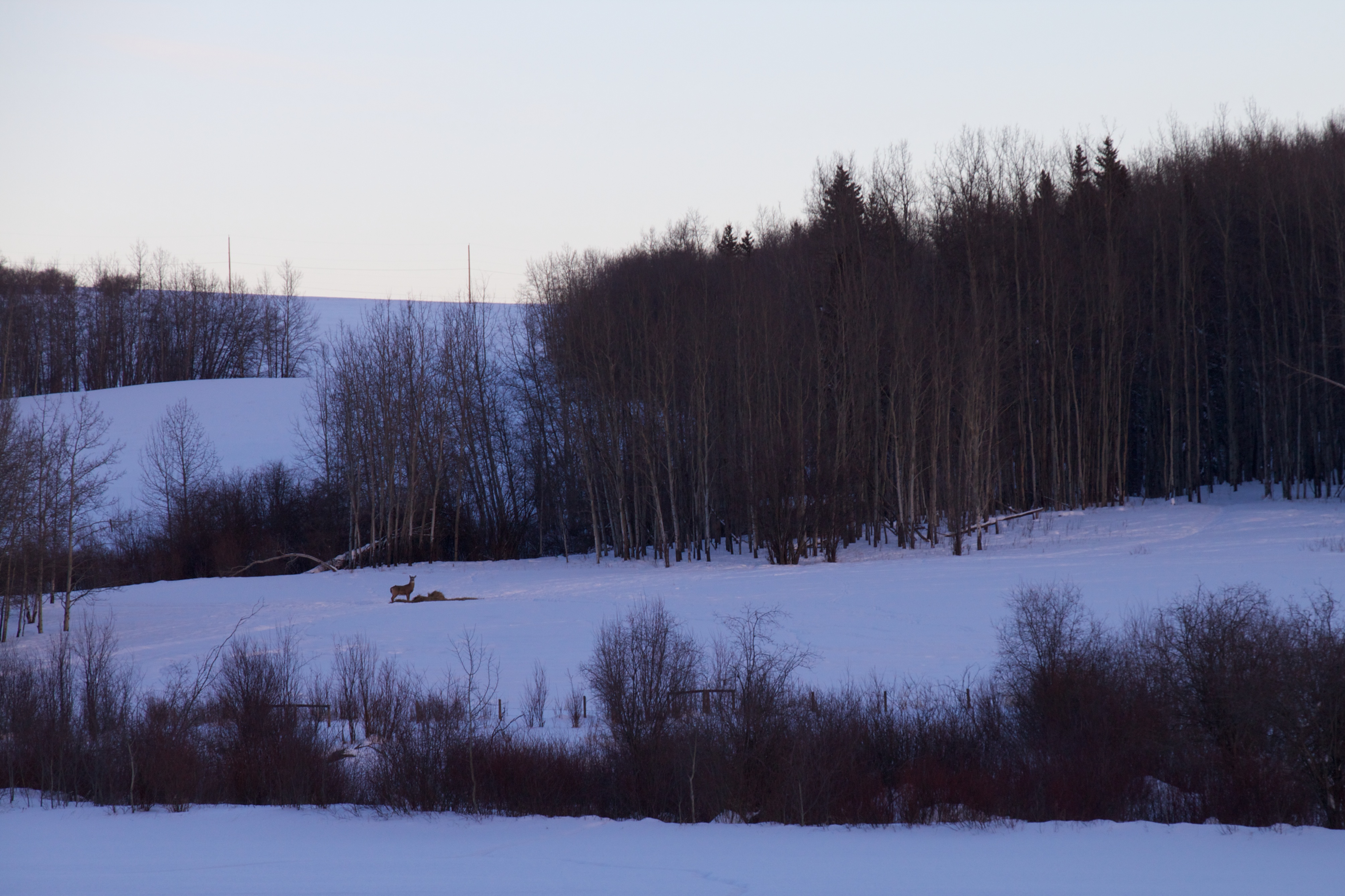
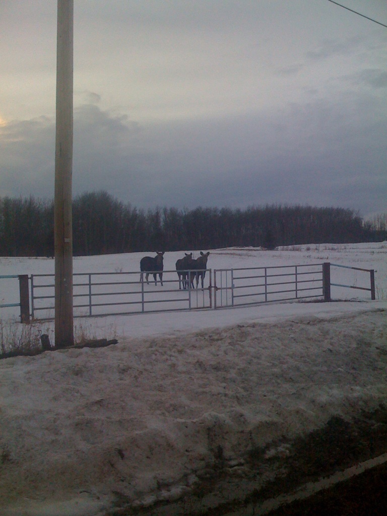
Cow Moose
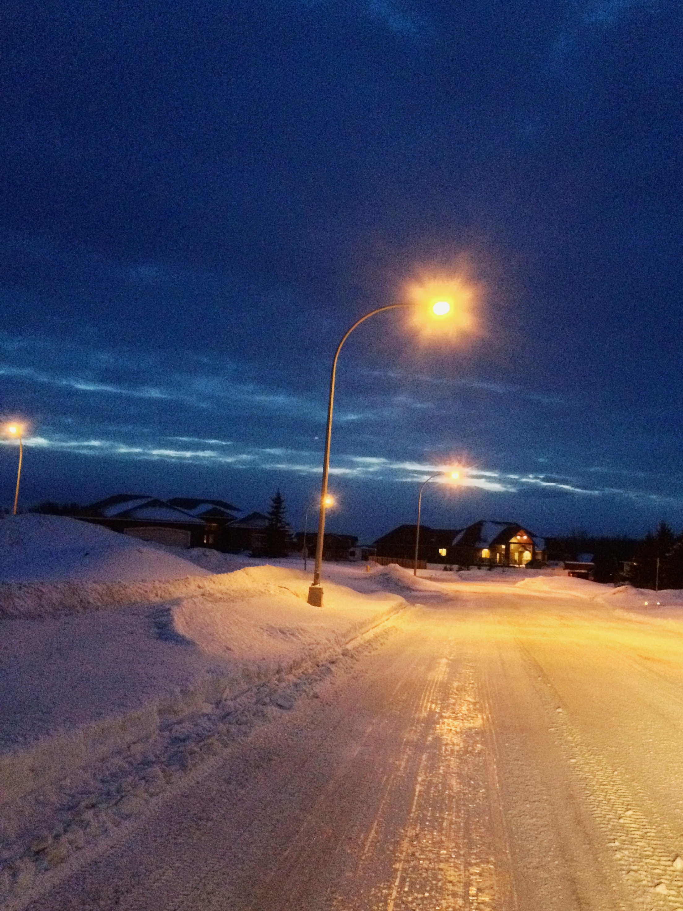
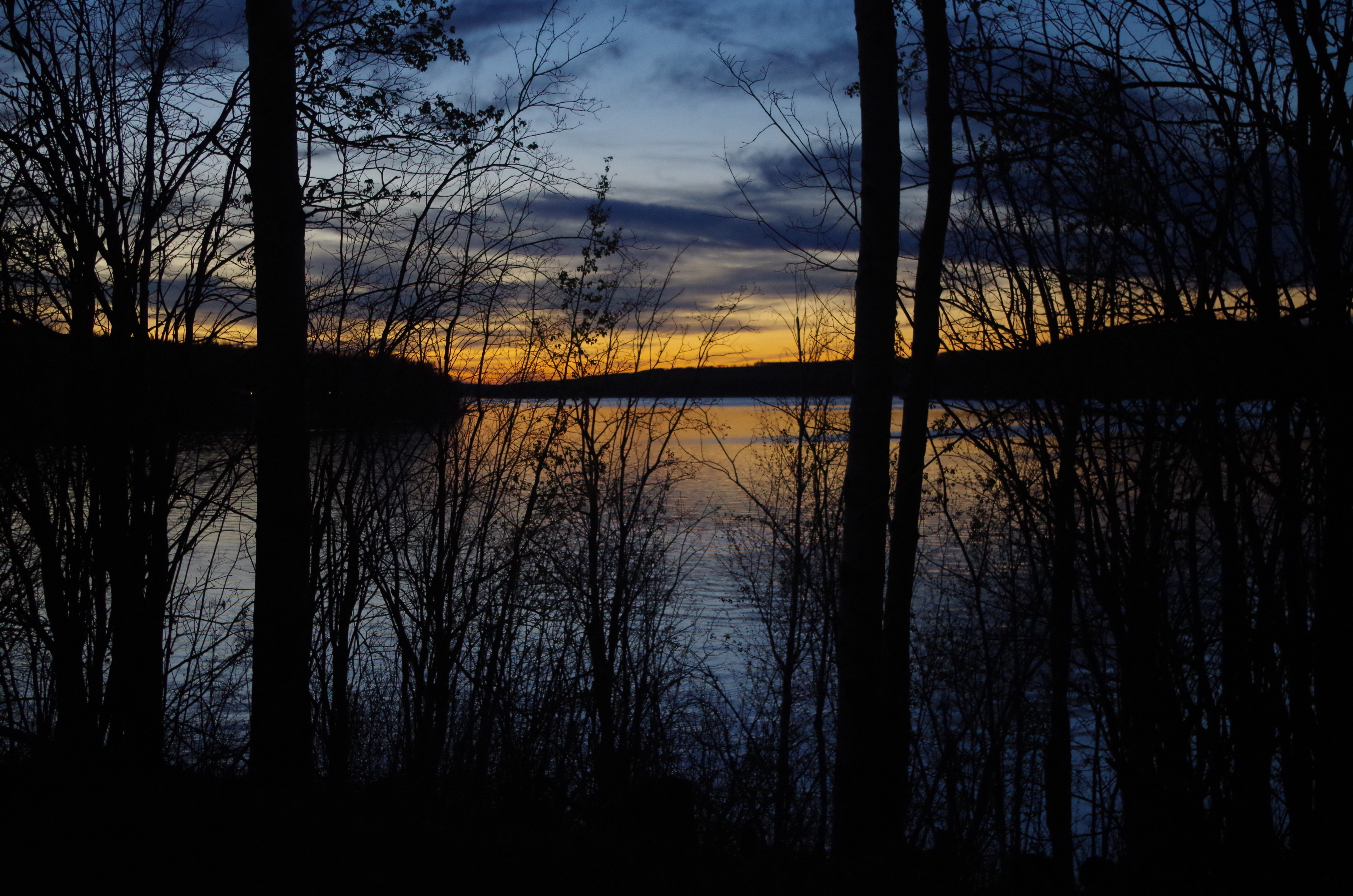
Last Light
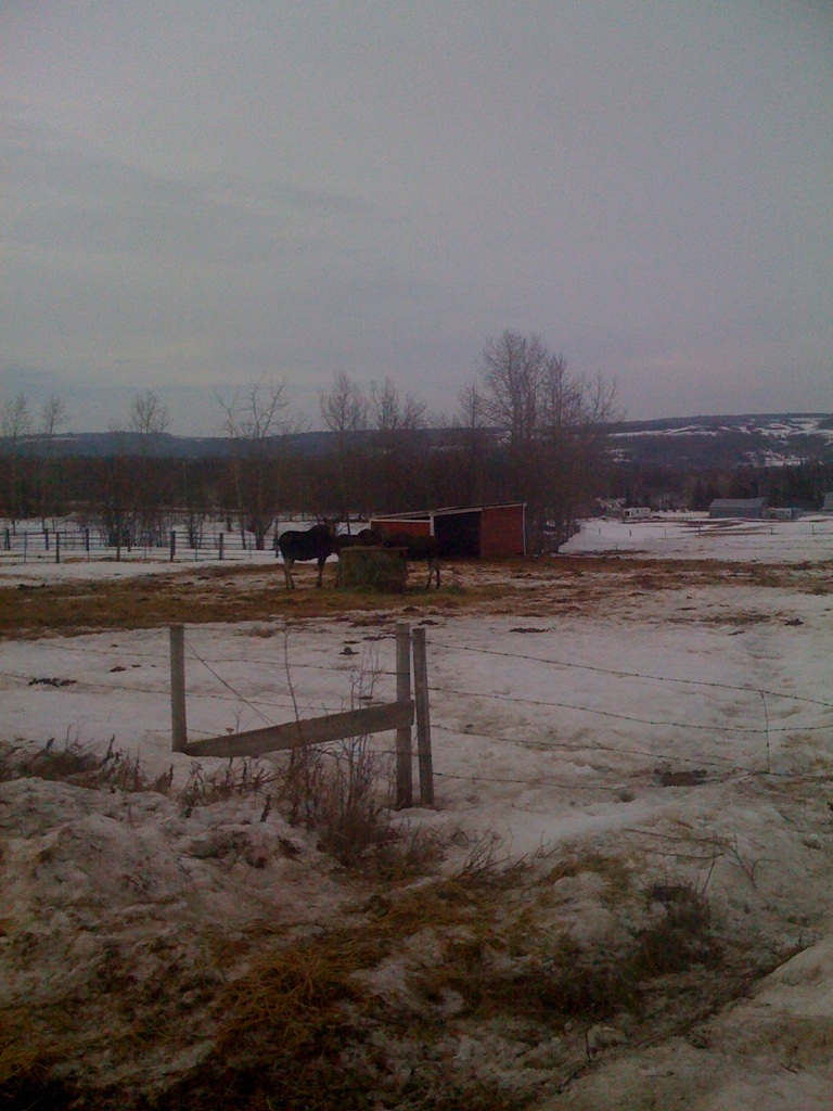
A Bale of Her Own
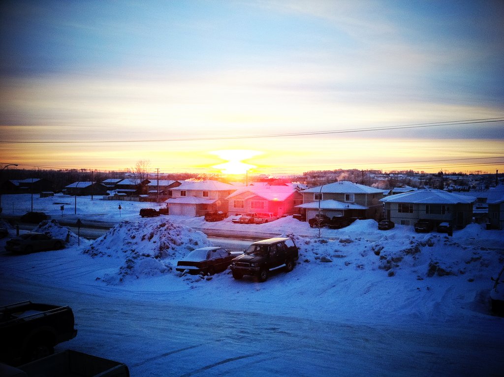
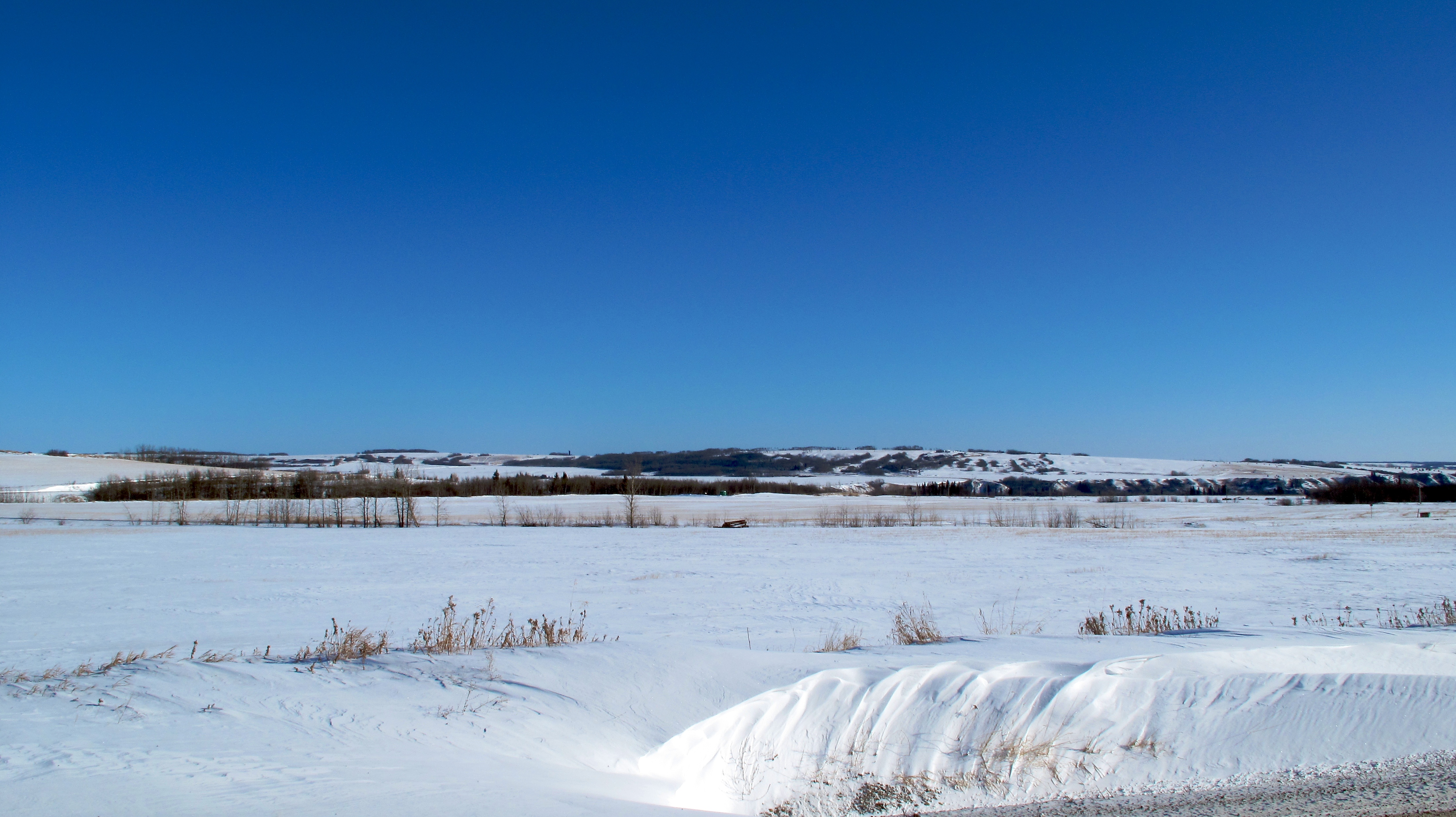
Fort St. John, 12-Feb-09
Charlie Lake, 9-Apr-09
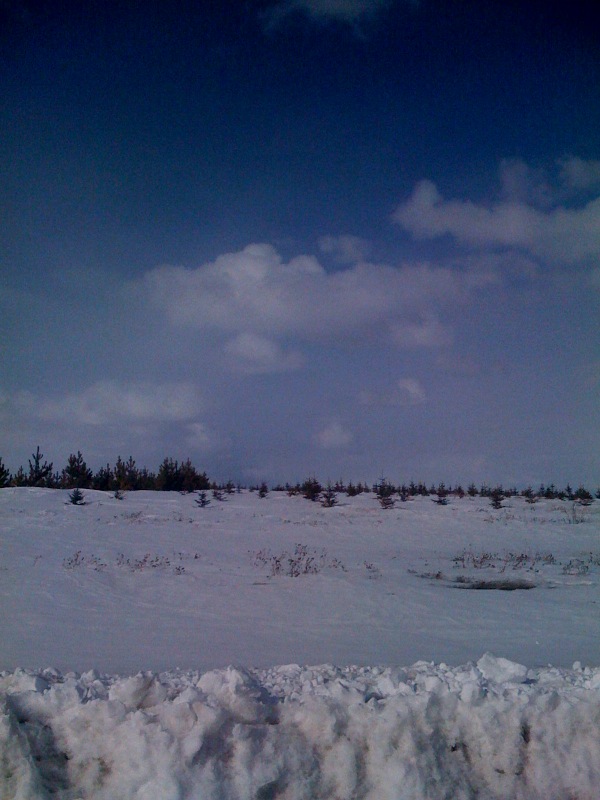
Calm after the fall
Fort St. John, 4-May-09
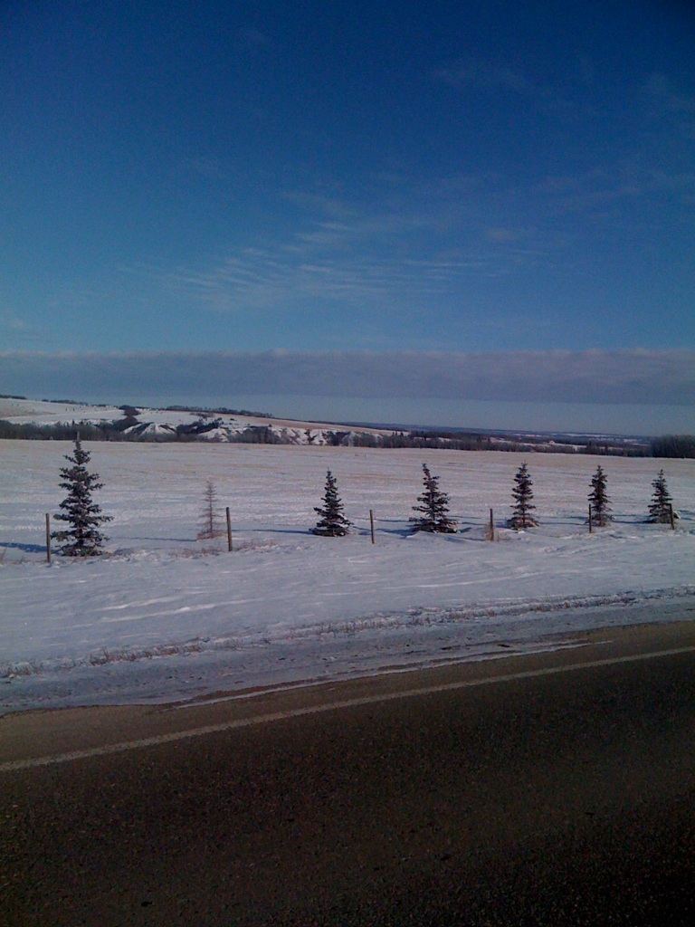
Valley Vista Tree Farm
Charlie Lake, 9-Apr-09
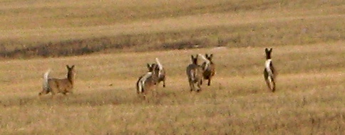
White-Tailed Deer on the Run
IMGP0695.JPG
Guess where I am. #yxj
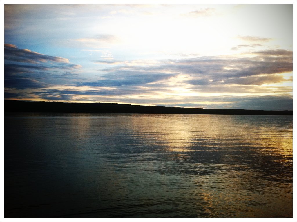
A sunset to finish the day.
IMGP0697.JPG
Looking Towards North Pine
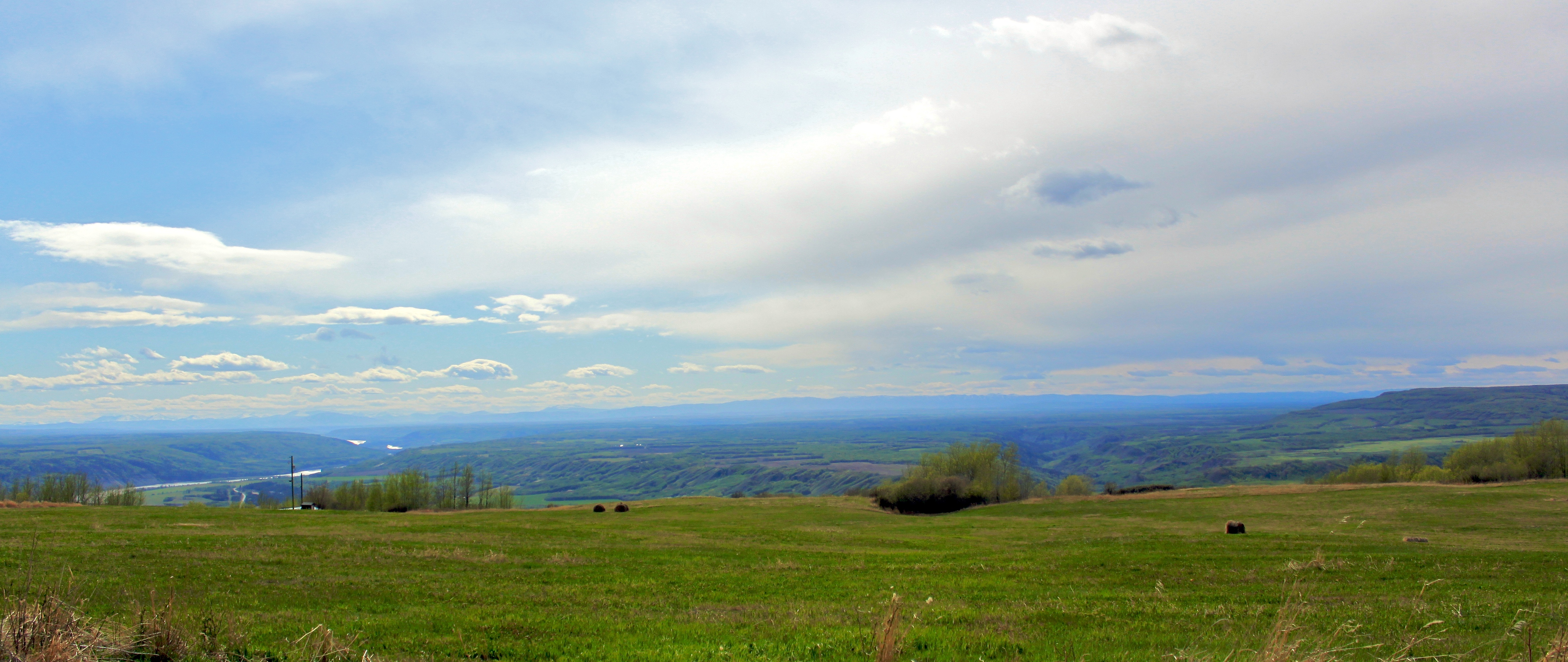
The Peace River Valley
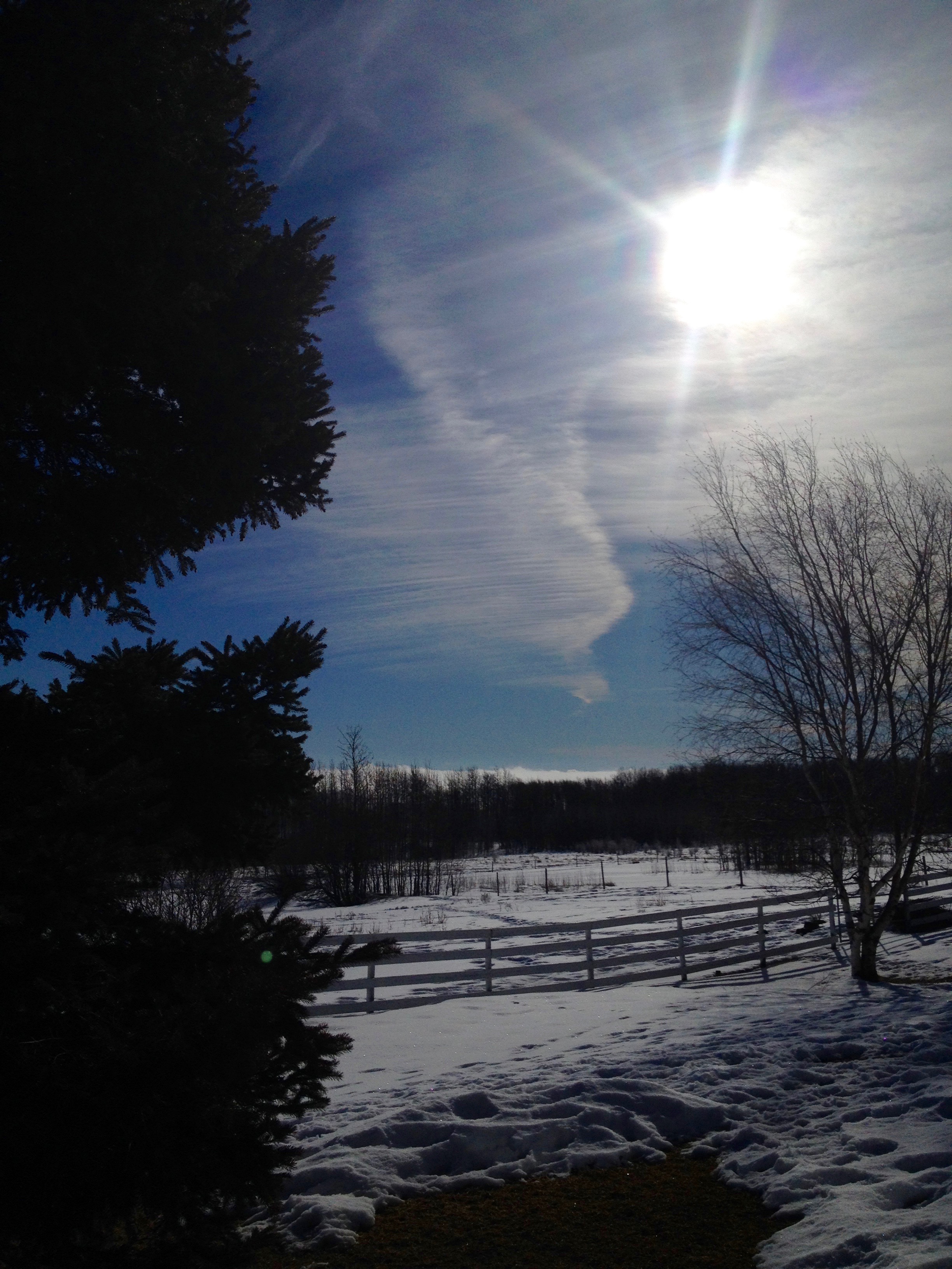
Cool Clouds

Charlie Lake BBQ
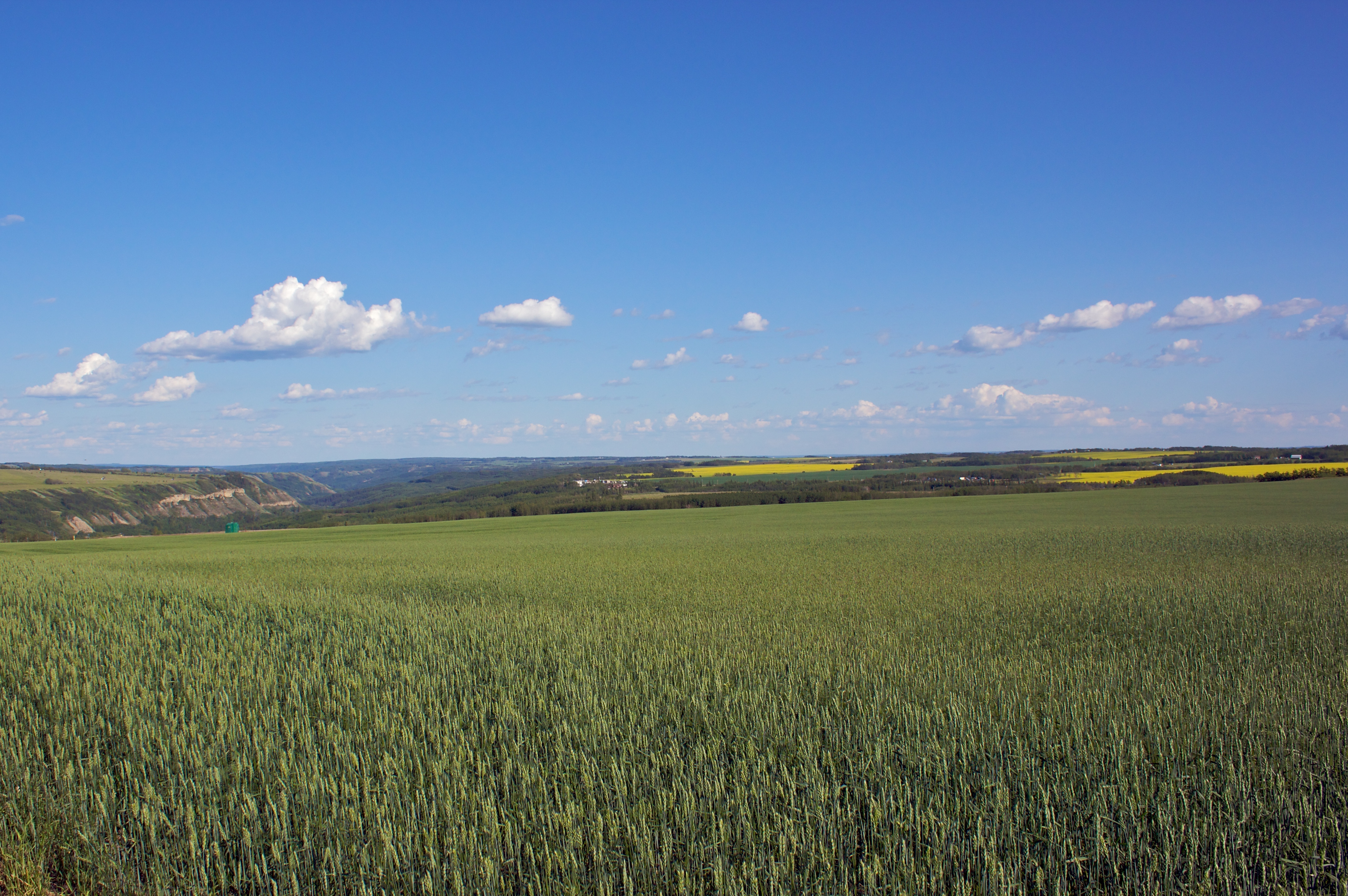
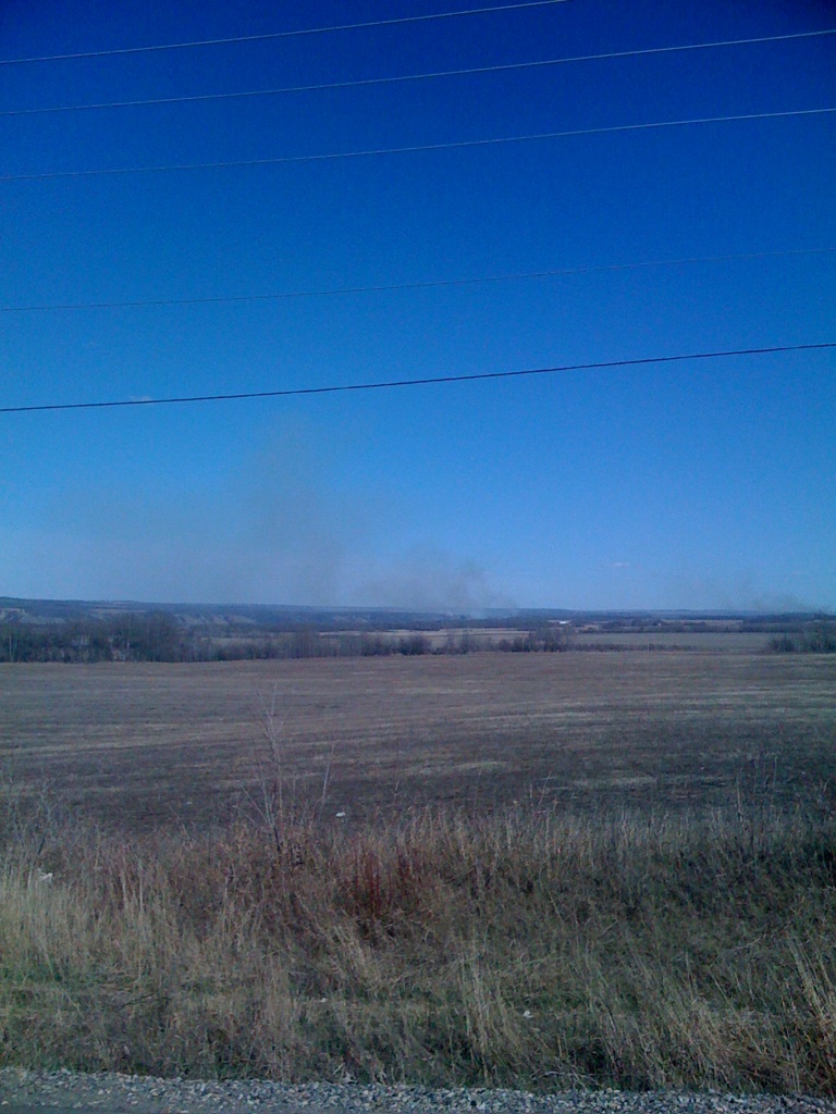
Crops in the Field
Topographic Map of Charlie Lake, British Columbia V0C, Canada
Find elevation by address:

Places near Charlie Lake, British Columbia V0C, Canada:
Recent Searches:
- Elevation of Dog Leg Dr, Minden, NV, USA
- Elevation of Dog Leg Dr, Minden, NV, USA
- Elevation of Kambingan Sa Pansol Atbp., Purok 7 Pansol, Candaba, Pampanga, Philippines
- Elevation of Pinewood Dr, New Bern, NC, USA
- Elevation of Mountain View, CA, USA
- Elevation of Foligno, Province of Perugia, Italy
- Elevation of Blauwestad, Netherlands
- Elevation of Bella Terra Blvd, Estero, FL, USA
- Elevation of Estates Loop, Priest River, ID, USA
- Elevation of Woodland Oak Pl, Thousand Oaks, CA, USA