Elevation of Charleston Park, FL, USA
Location: United States > Florida > Lee County > Alva >
Longitude: -81.580356
Latitude: 26.7056239
Elevation: 4m / 13feet
Barometric Pressure: 101KPa
Elevation Map:
Satellite Map:
Related Photos:

I am going to miss this view. #Palms #Florida #Sun
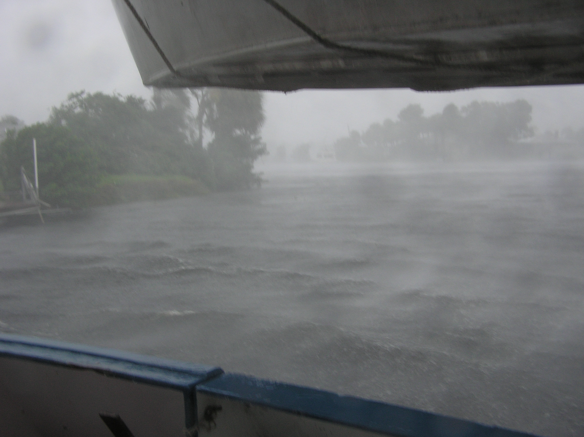
Hurricane Charley 2

The Caloosahatchee from the Alva Bridge
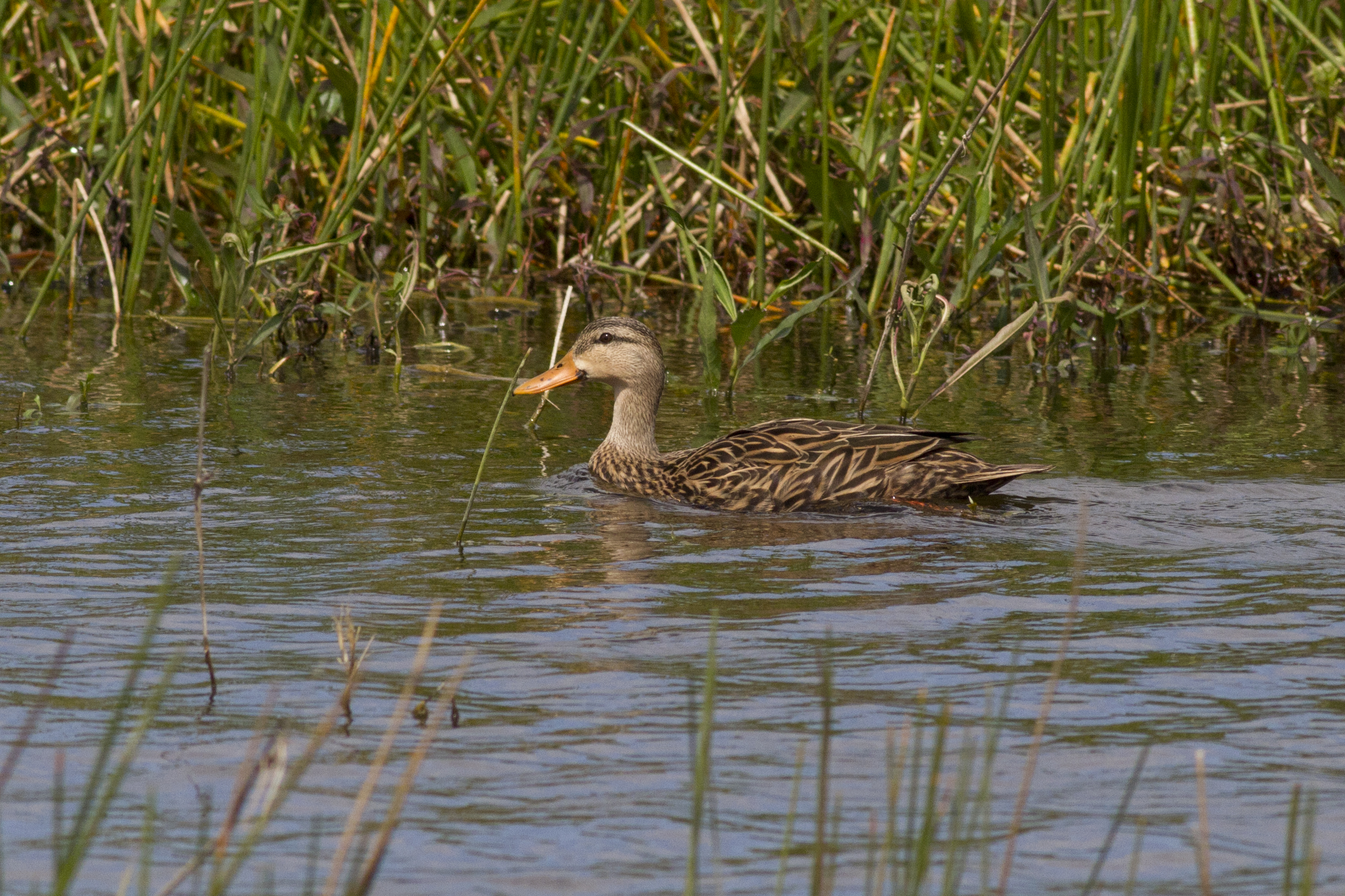
Mottled Duck
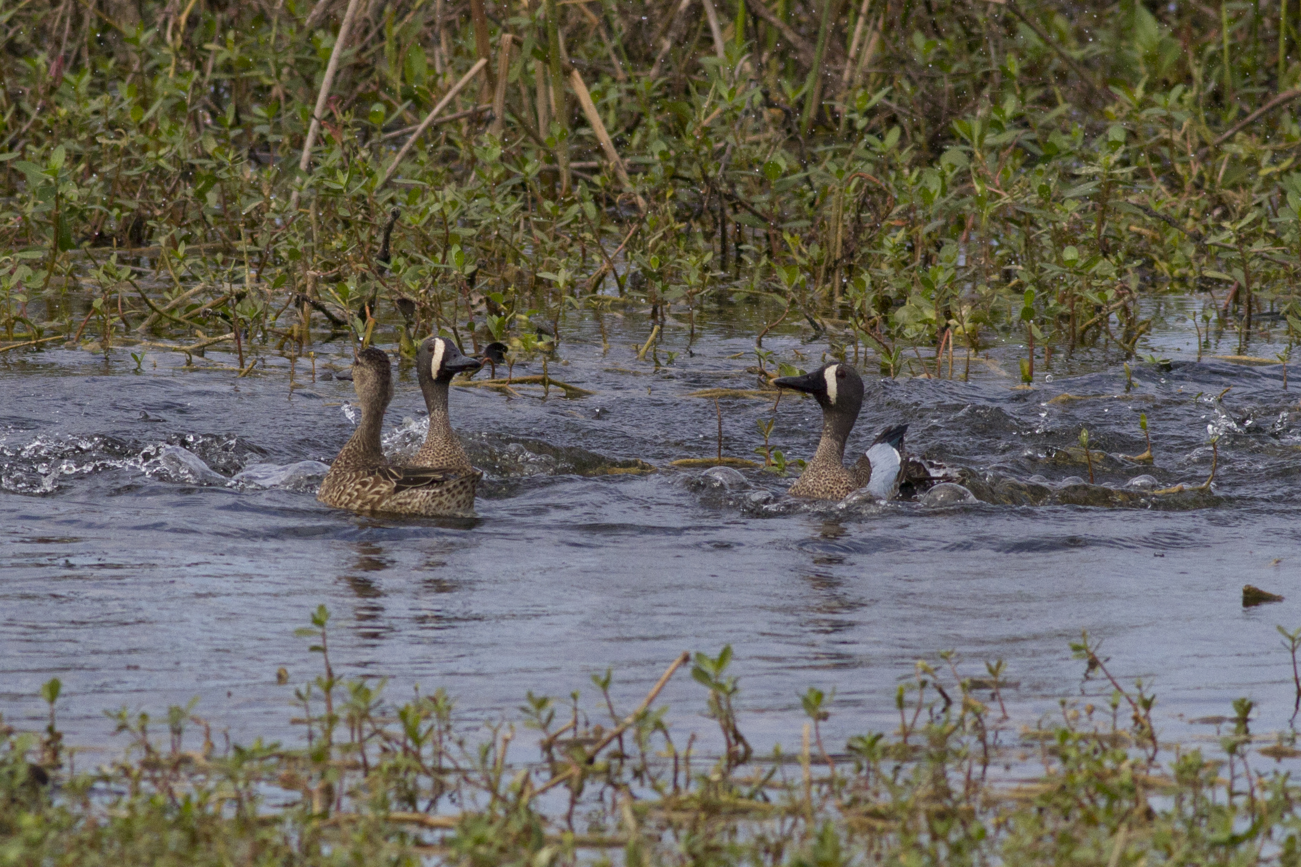
Blue-winged Teals
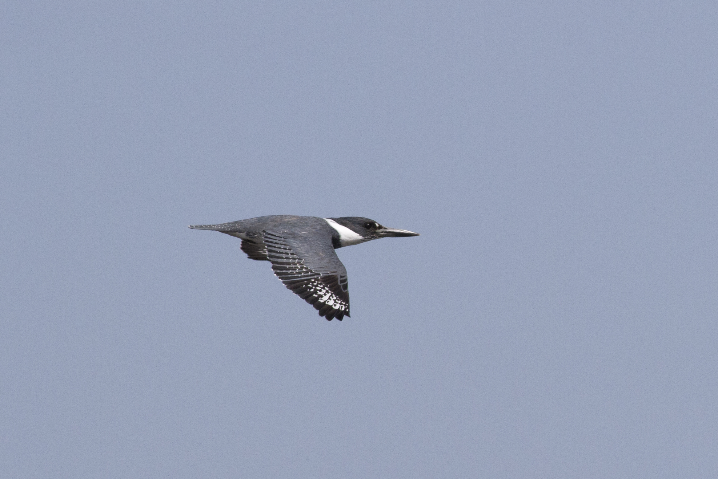
Belter Kingfisher

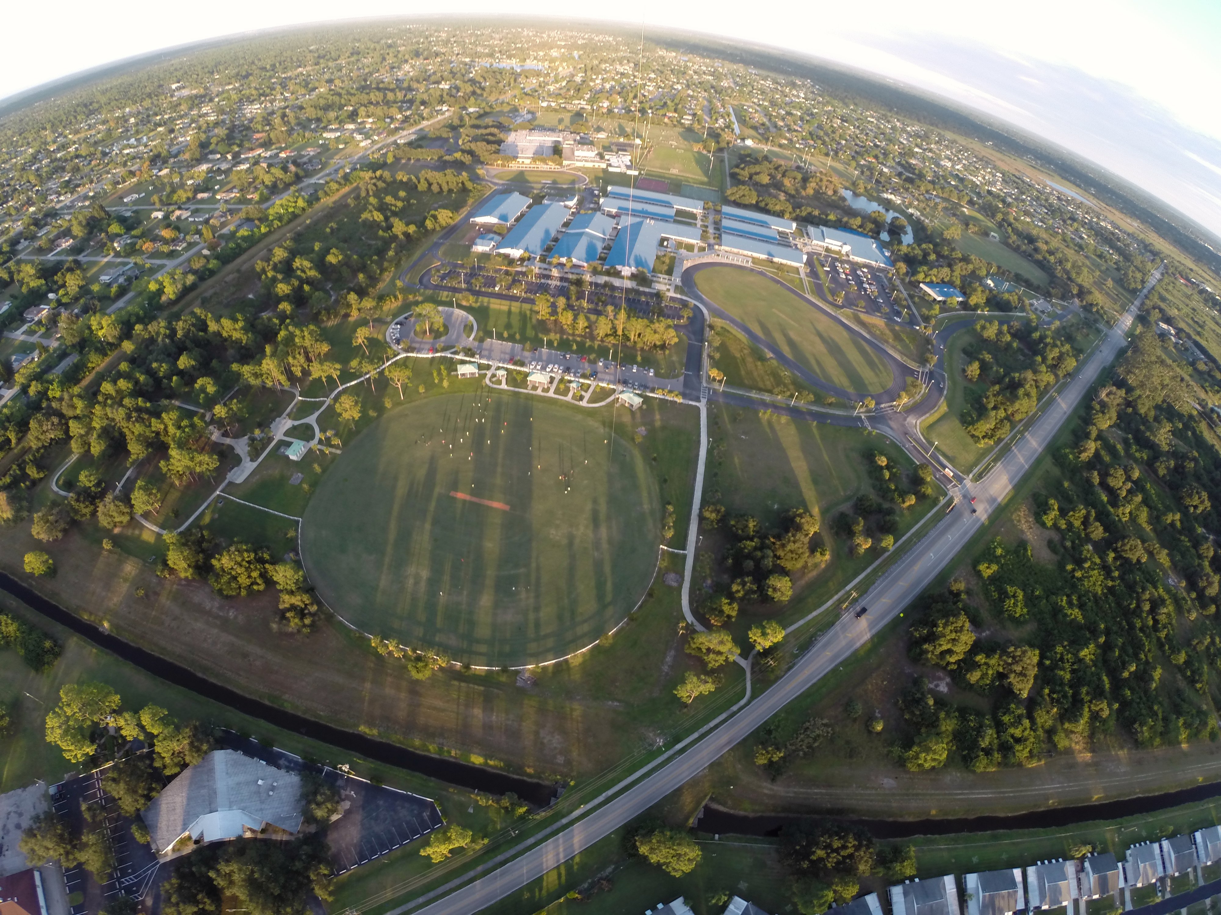
A view from Above. I used a a GoPro Hero 3+ Black Edition, a HQ Invento 2 meter Delta with 1000' 150 Lbs. Kevlar line on a Brooxes Picavet. Veterans Park, Lehigh Acres, FL. (10/23/2015).
A view from above. I used a GoPro Hero 3+ Black Edition a HQ Invento 2 Meter Delta with 1000 ft. 150 Lbs. Kevlar line.
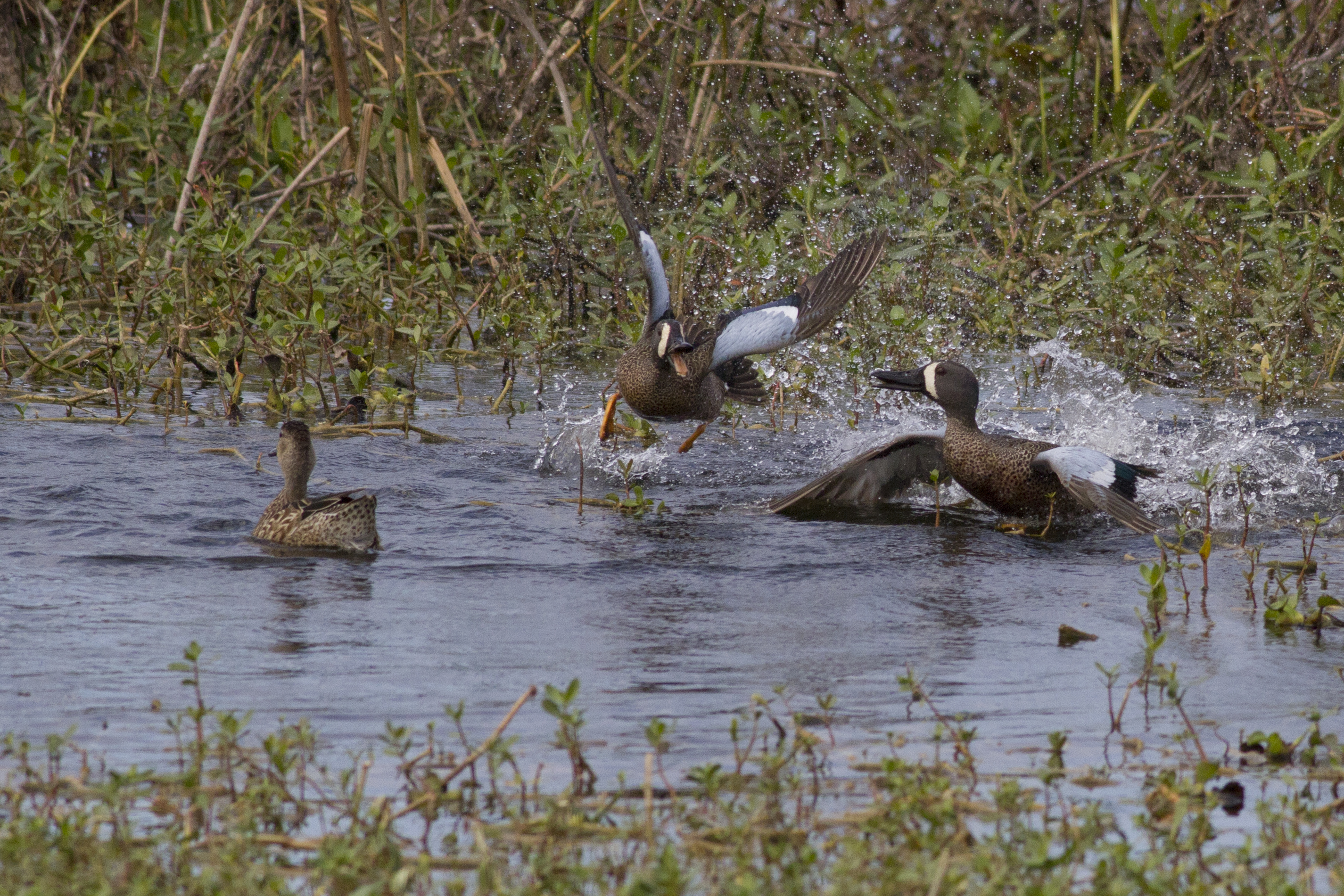
Blue-winged Teals
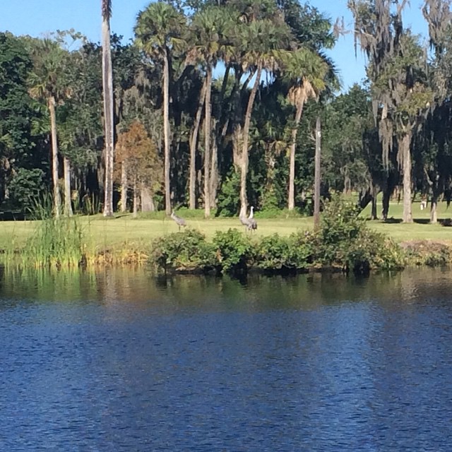
Sandhill Cranes on an oxbow.
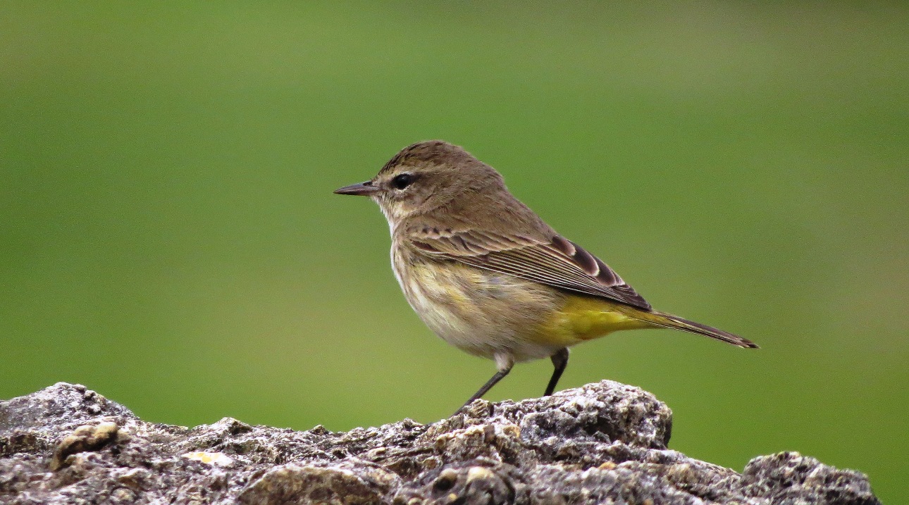
Palm Warbler
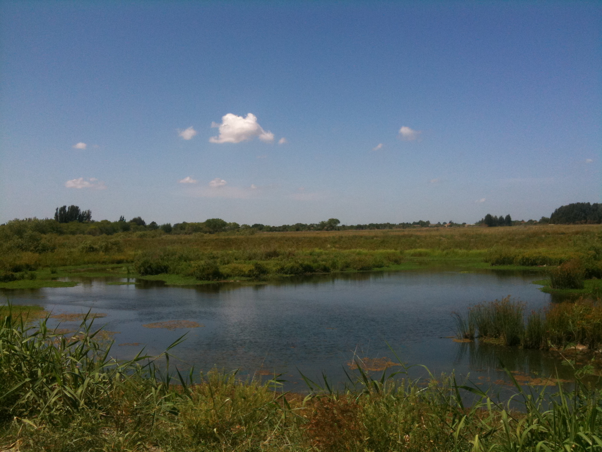
Harns Marsh

Savannah Sparrow
Oh , she saw me!

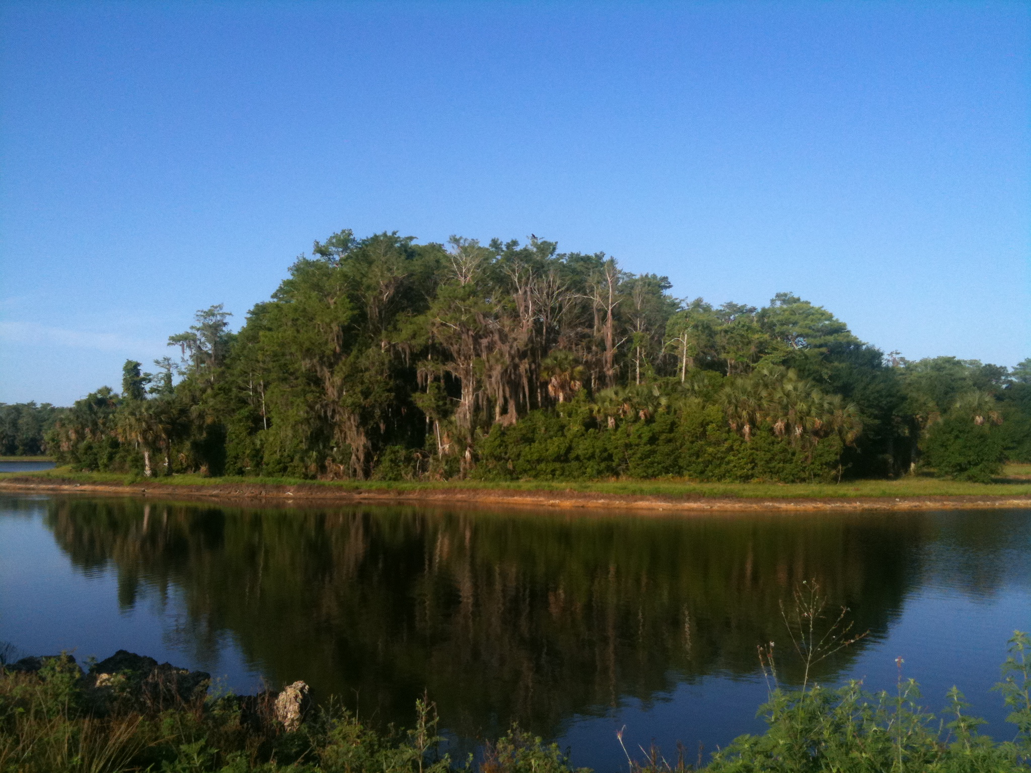
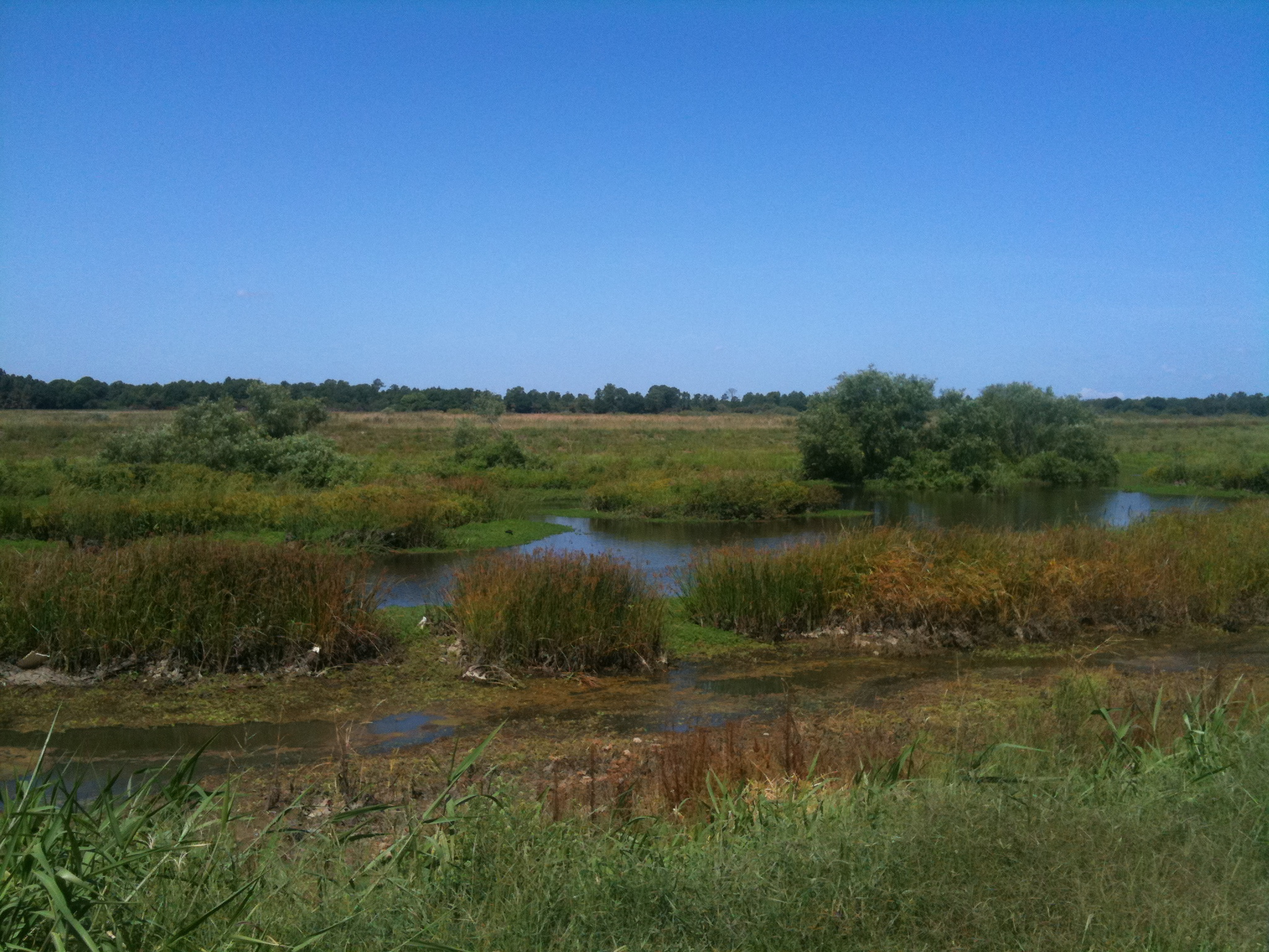
Caloosahatchee Regional Park

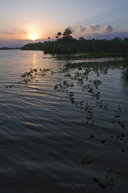
Caloosahatchee River
Camera Roll-131
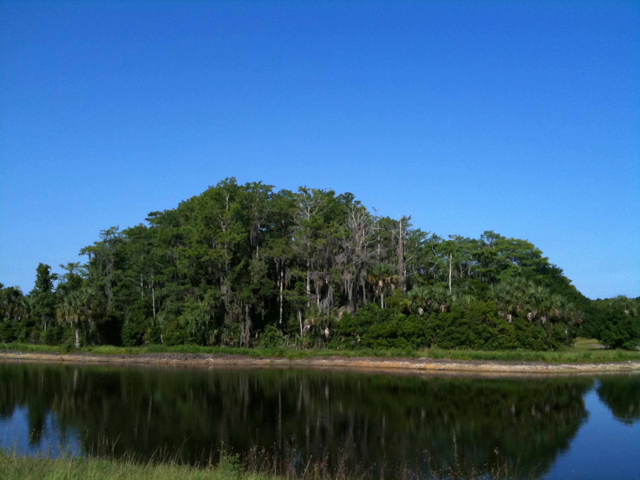
Harns Marsh Cypress Dome
Harns Marsh
Camera Roll-160
Camera Roll-152
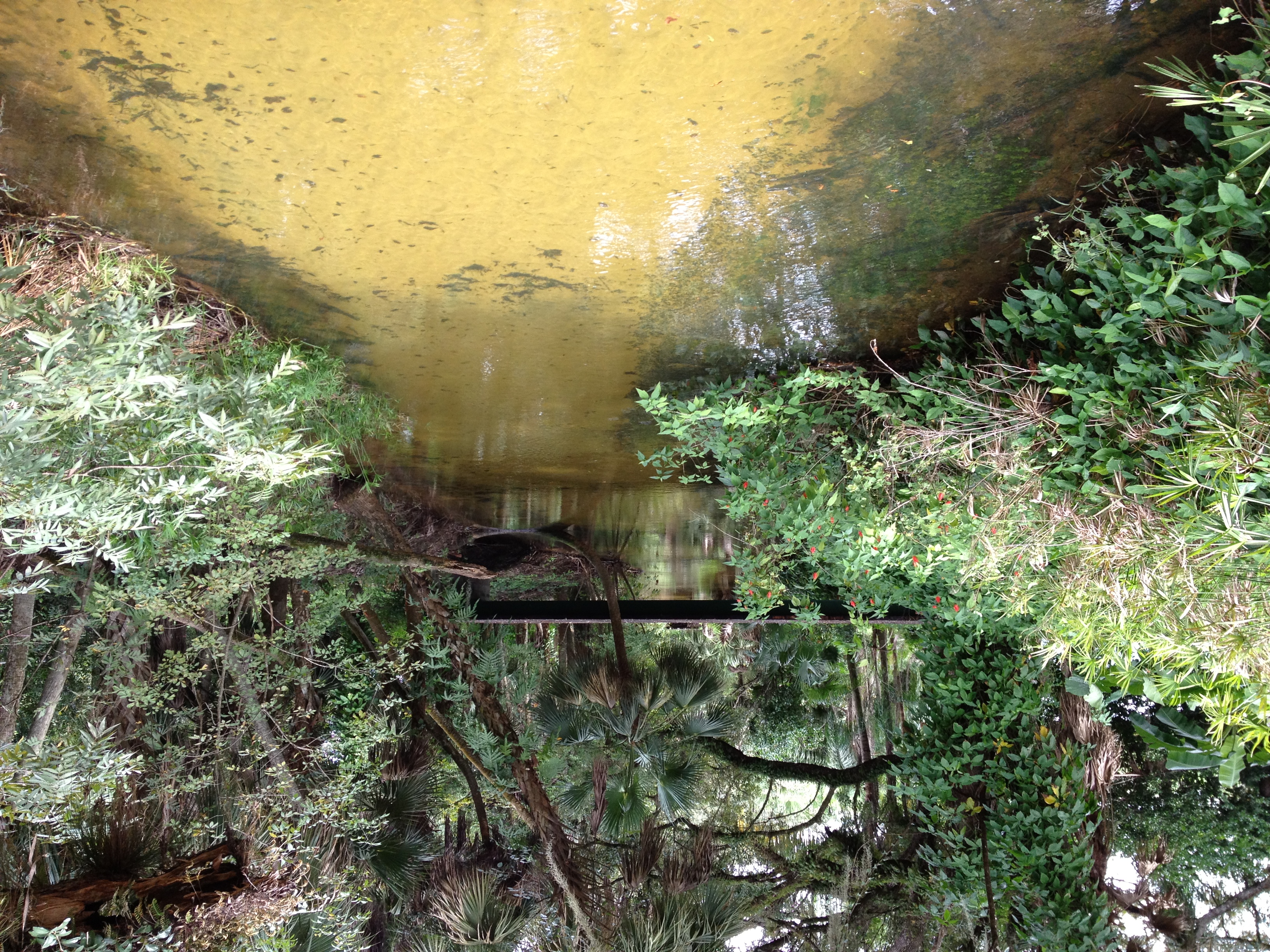
Bedman's creek in my backyard
Camera Roll-161
Caloosahatchee Regional Park
IMG_0270.JPG

Telegraph Creek
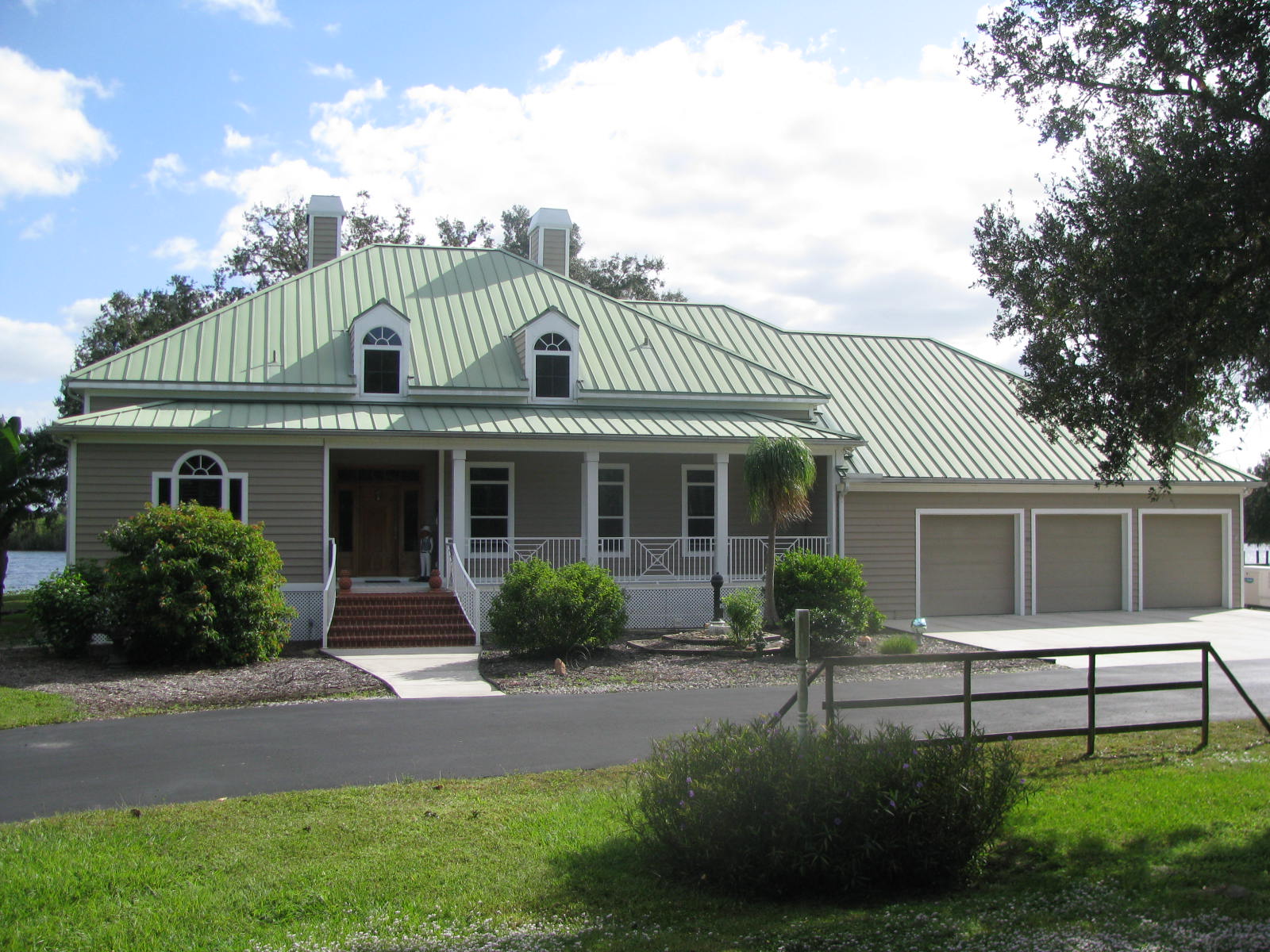
Florida,Alva, Riverfront Home
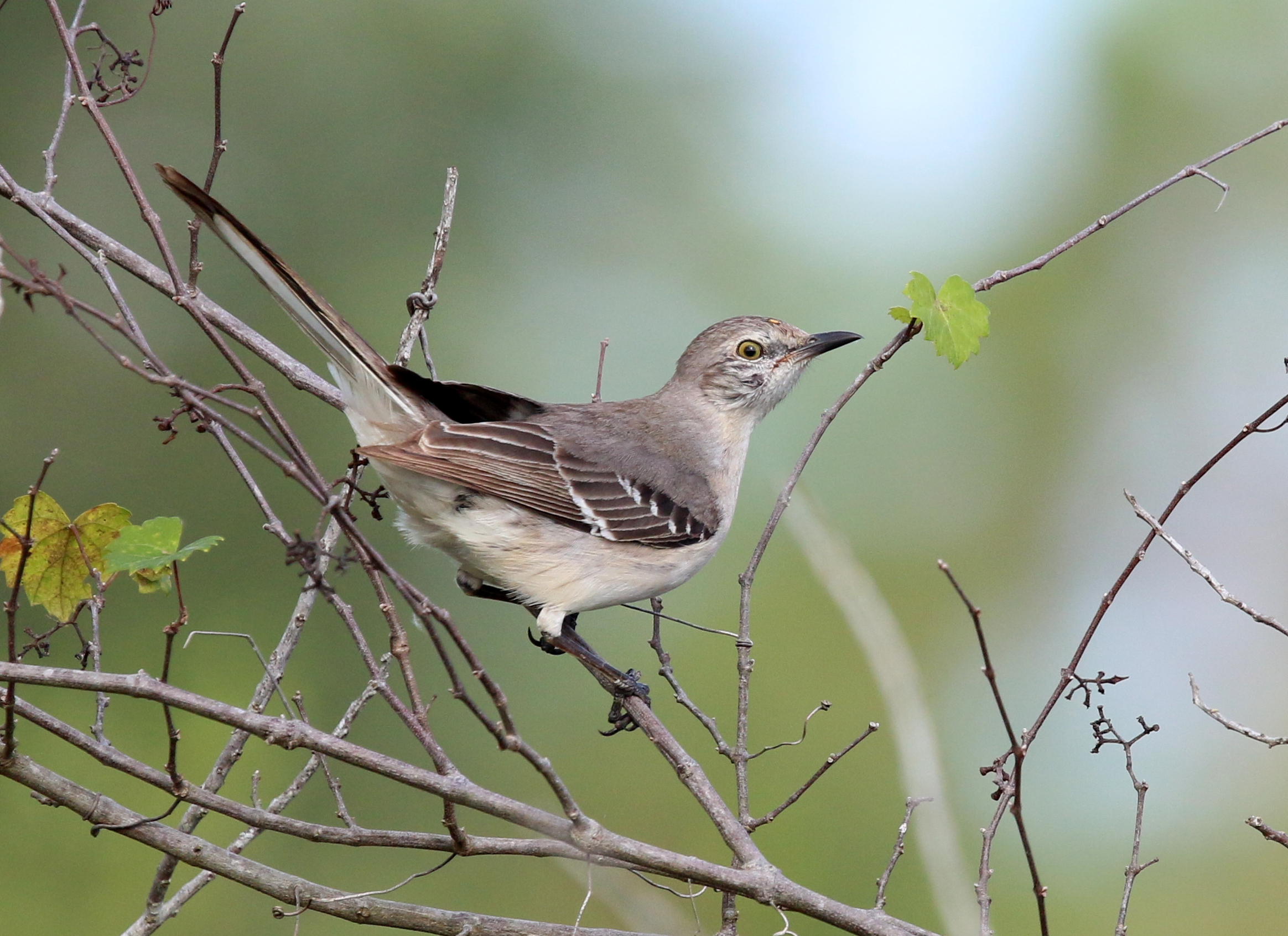
Northern Mockingbird
Topographic Map of Charleston Park, FL, USA
Find elevation by address:

Places in Charleston Park, FL, USA:
Places near Charleston Park, FL, USA:
Second St, Alva, FL, USA
23191 Avenue D
22901 Tuckahoe Rd
2440 Moore Ave
2304 Jackson Ave
7789 22nd Terrace
Broadway St, Alva, FL, USA
Alva
124 Greenbriar Blvd
1506 Monroe Ave
20150 Langford Rd
Joel
2200 Owanita Rd
19730 Little Ln
3002 East 13th Street
Lehigh Acres, FL, USA
901 East 15th Street
1506 Greenwood Ave
Joel Boulevard
1502 Greenwood Ave
Recent Searches:
- Elevation of E Brightview Ave, Pittsburgh, PA, USA
- Elevation of Cavendish Rd, Harringay Ladder, London N4 1RR, UK
- Elevation of 1 Zion Park Blvd, Springdale, UT, USA
- Elevation of Ganderbal
- Elevation map of Konkan Division, Maharashtra, India
- Elevation of Netaji Nagar, Hallow Pul, Kurla, Mumbai, Maharashtra, India
- Elevation of Uralsk, Kazakhstan
- Elevation of 45- Kahana Dr, Honokaa, HI, USA
- Elevation of New Mexico 30, NM-30, Española, NM, USA
- Elevation of Santmyer Way, Charles Town, WV, USA