Elevation of Charles Mound, Scales Mound Township, IL, USA
Location: United States > Illinois > Jo Daviess County > Scales Mound >
Longitude: -90.240815
Latitude: 42.5043457
Elevation: 376m / 1234feet
Barometric Pressure: 97KPa
Elevation Map:
Satellite Map:
Related Photos:

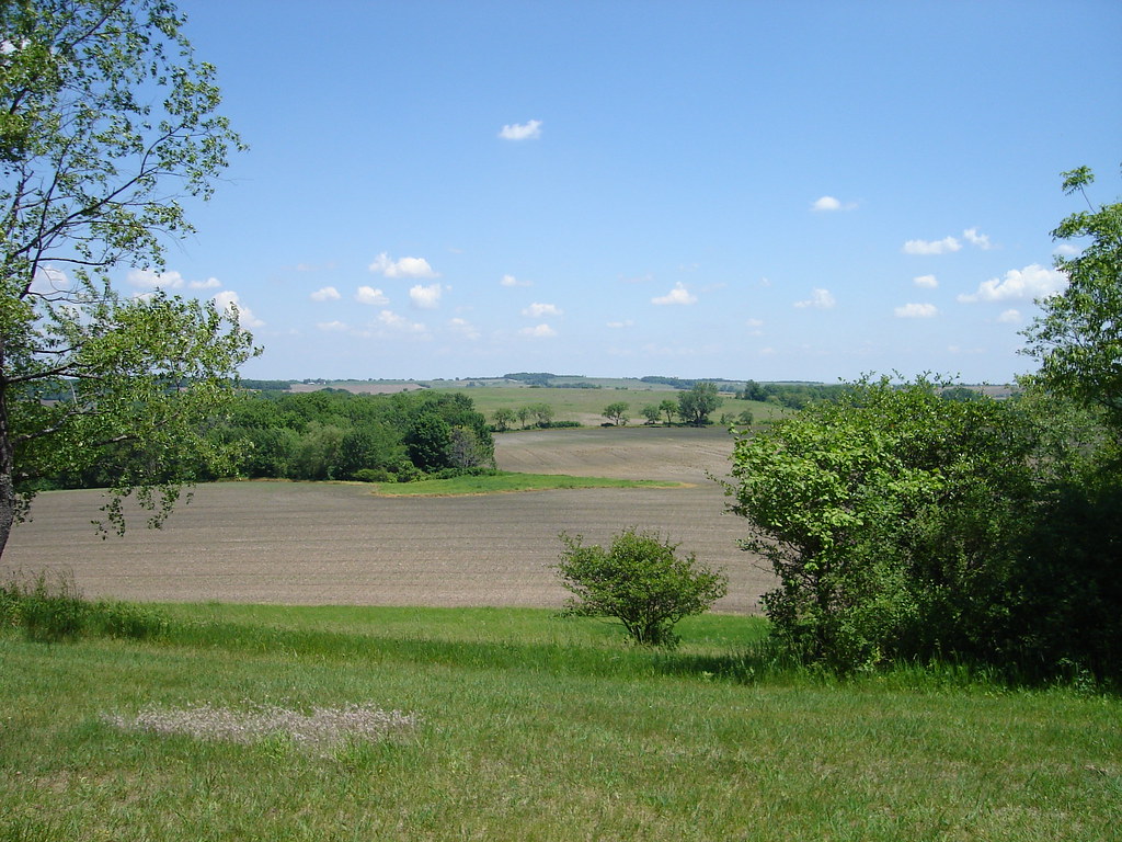
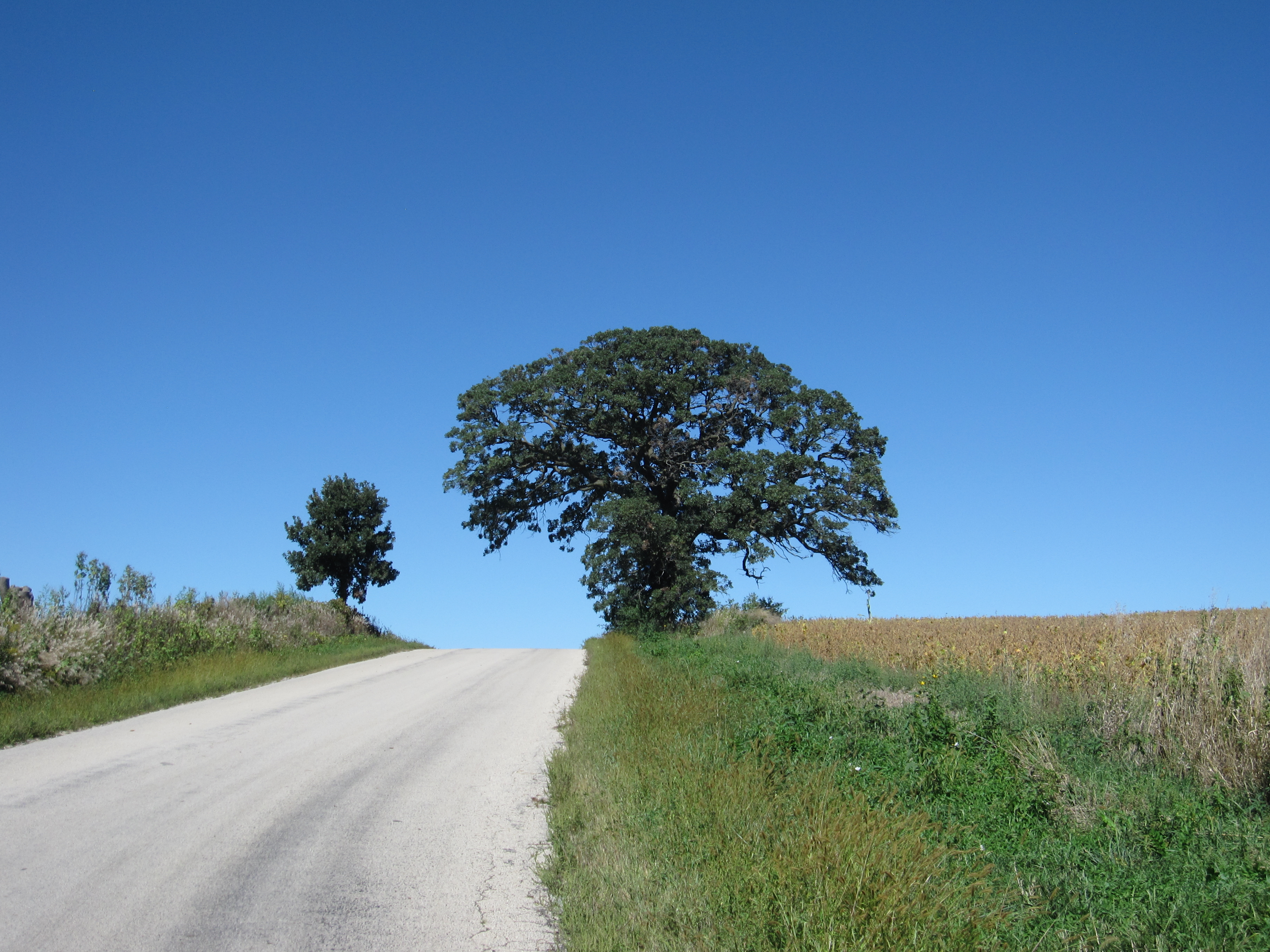
Rolling Hills
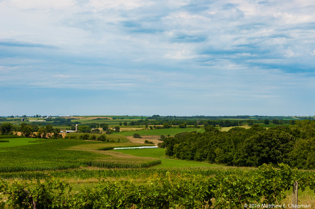
Illinois Farmland

DrawMo! | Cinco (Alternate View)

Balloon over the Territory

Wiper view
Charles Mound Northeast View

New home
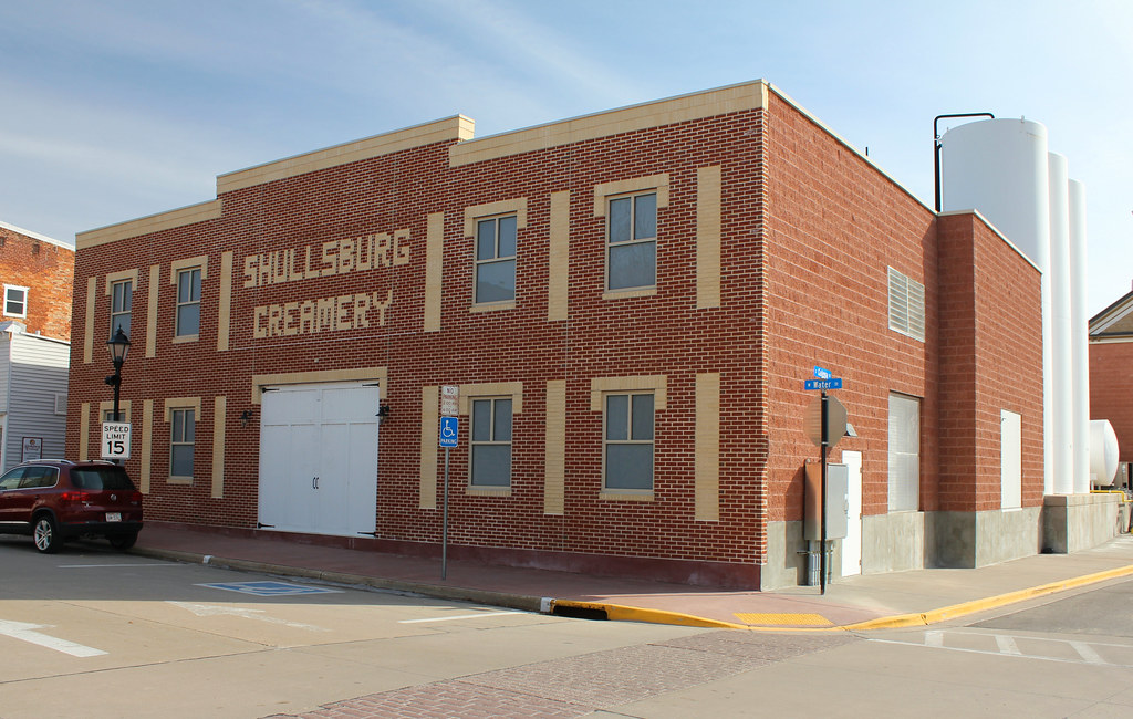
Shullsburg Creamery - Shullsburg, WI

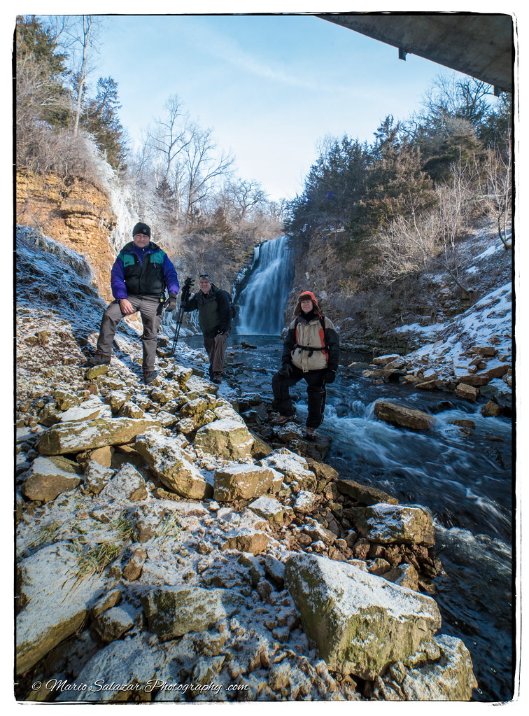
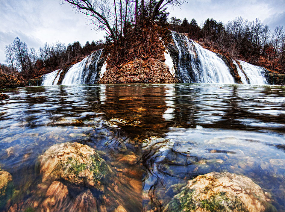
Thunder Bay Falls

The End Is Near

Down The Backroad
Winter Photography with friends
Day 1161: Trippy Falls

HDR Photos-89
09-13-2013 Ride Rustic Road R66

09-13-2013 Ride Rustic Road R66
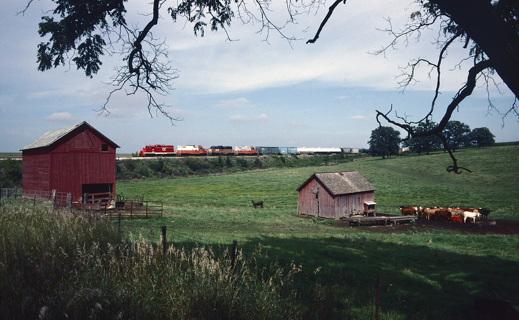
Paducahs in the Pasture

Thunder Bay Falls
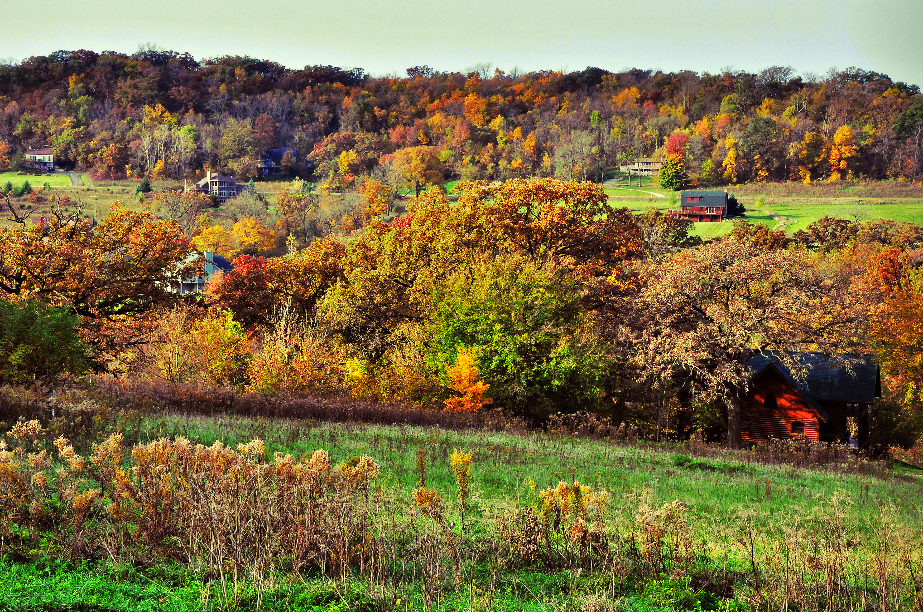
Autumn Palette, The Galena Territory
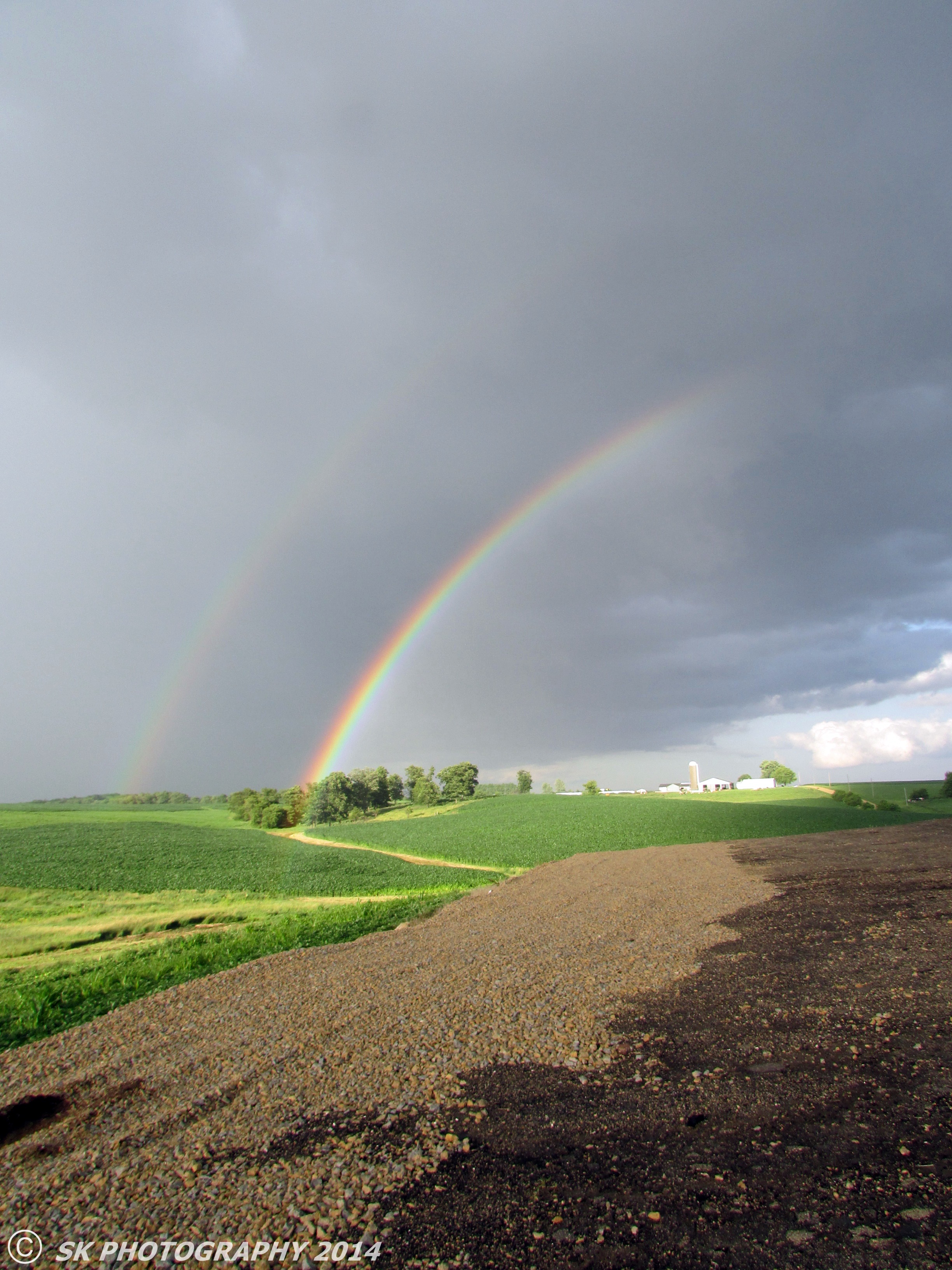
Double Rainbow

The Galena Territory

Day 1247: On the Hill

HDR Photos-86

Thunder Bay Falls

Alone in the Woods
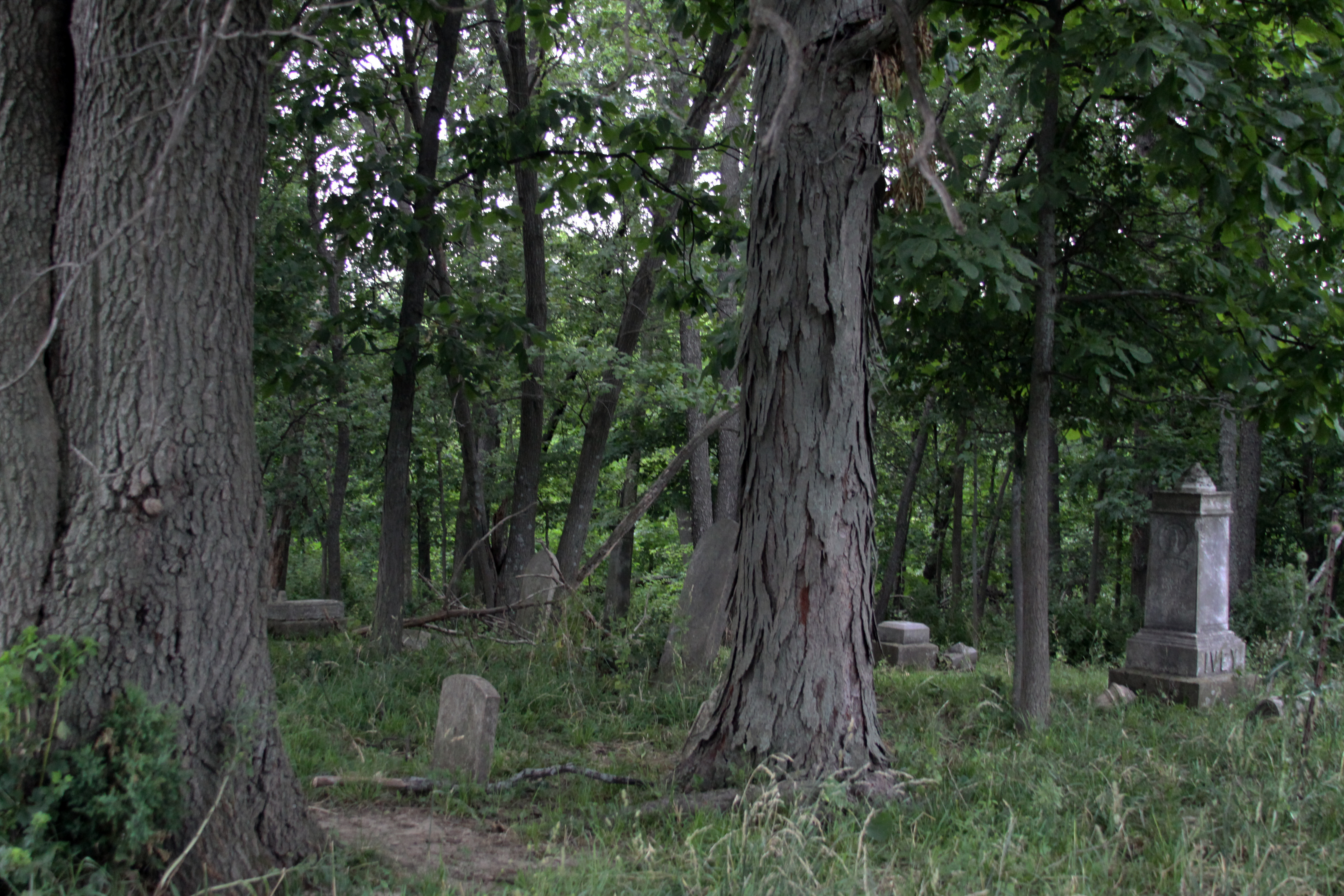
Stones Amongst the Trees

Bald Eagles

Thunder Bay Waterfall Galena

Corn Tassels
Topographic Map of Charles Mound, Scales Mound Township, IL, USA
Find elevation by address:

Places near Charles Mound, Scales Mound Township, IL, USA:
Scales Mound
2947 E Mt Sumner Rd
6 Hampton Ct
6 Hampton Ct
6 Hampton Ct
6 Hampton Ct
5 Manitou Ct
County Rd W, Shullsburg, WI, USA
Guilford Township
1 Painted Post Ln
Council Hill Township
Apple Canyon Lake
6 Eagle Ln
Thompson Township
Cottonwood Court
122 Cogan Dr
349 W Wachter Rd
349 W Wachter Rd
The Galena Territory
2 Gingham Row
Recent Searches:
- Elevation of Congressional Dr, Stevensville, MD, USA
- Elevation of Bellview Rd, McLean, VA, USA
- Elevation of Stage Island Rd, Chatham, MA, USA
- Elevation of Shibuya Scramble Crossing, 21 Udagawacho, Shibuya City, Tokyo -, Japan
- Elevation of Jadagoniai, Kaunas District Municipality, Lithuania
- Elevation of Pagonija rock, Kranto 7-oji g. 8"N, Kaunas, Lithuania
- Elevation of Co Rd 87, Jamestown, CO, USA
- Elevation of Tenjo, Cundinamarca, Colombia
- Elevation of Côte-des-Neiges, Montreal, QC H4A 3J6, Canada
- Elevation of Bobcat Dr, Helena, MT, USA