Elevation of Chapin, IL, USA
Location: United States > Illinois > Morgan County >
Longitude: -90.421944
Latitude: 39.7850935
Elevation: 186m / 610feet
Barometric Pressure: 99KPa
Elevation Map:
Satellite Map:
Related Photos:

Winter Sunset
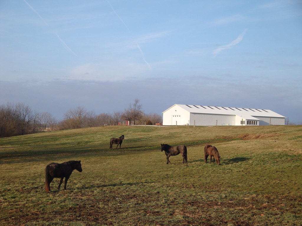
4 horses and a barn

Week 20
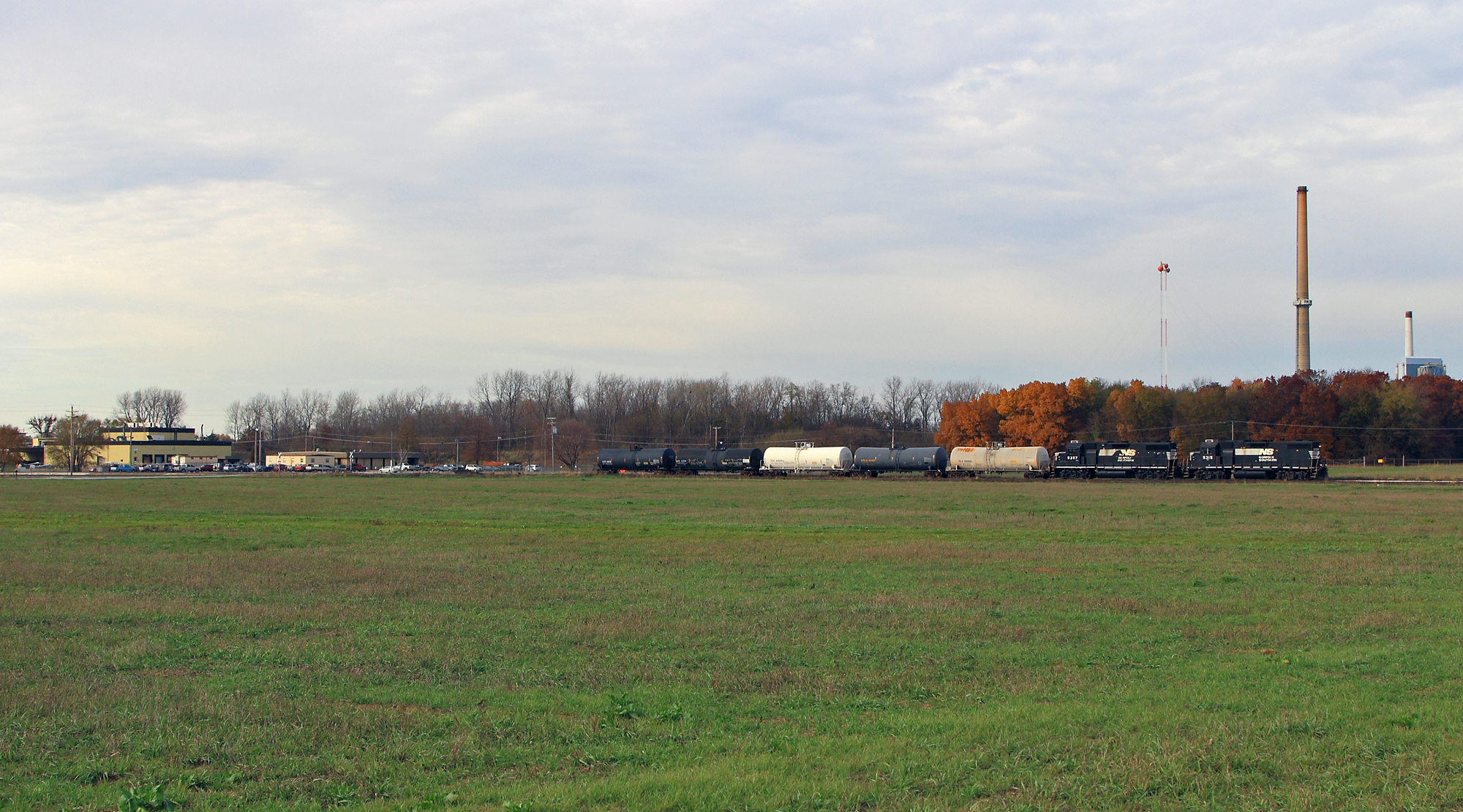
Shovin' into the Plant
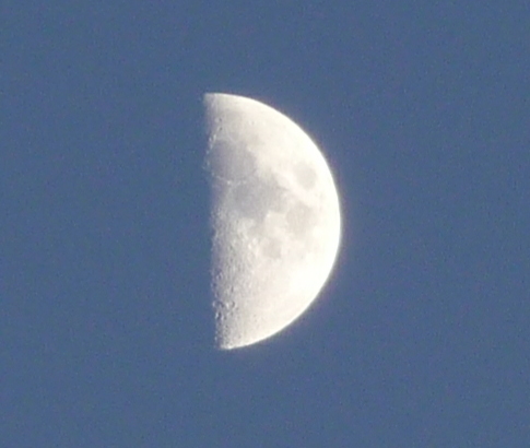
Moon 3

Pastel Sunrise
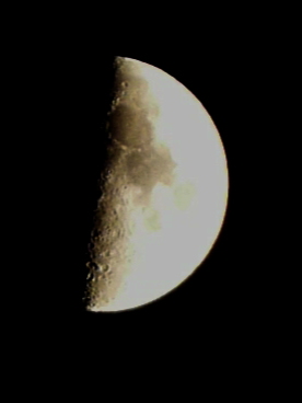
Moon 1

Moon 2
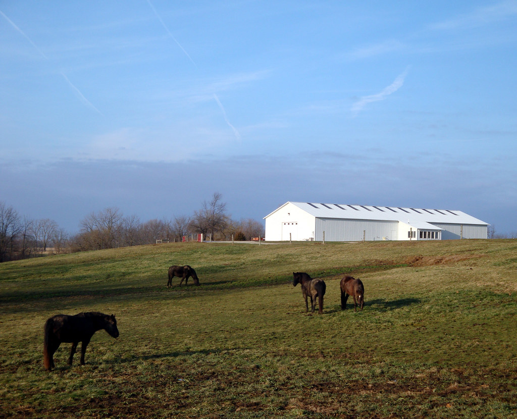
4 horses and a barn
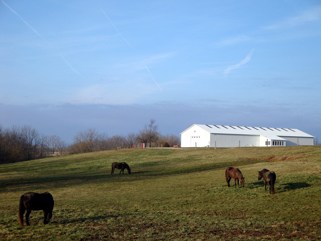
4 horses and a barn
100_3542-1408376869-O

Bean Family Centennial Farm in 2010

High Hood Silhouette

Wedding fun #eatdrinkandbeharris

#illinois #farm #clouds
Topographic Map of Chapin, IL, USA
Find elevation by address:

Places in Chapin, IL, USA:
Places near Chapin, IL, USA:
US-67, Chapin, IL, USA
Chapin
Merritt
Merritt Blacktop Rd, Winchester, IL, USA
Miller St, Arenzville, IL, USA
Arenzville
1384 Rutherford Rd
1374 Rutherford Rd
Meredosia
854 Taylor Ln
854 Taylor Ln
Winchester
2 S Main St, Winchester, IL, USA
502 Locust St
Bloomfield
Arenzville Township
14 N Grand Ave
Scott County
974 Lonergan Ln
974 Lonergan Ln
Recent Searches:
- Elevation of Keene Point Drive, Keene Point Dr, Grant, AL, USA
- Elevation of State St, Zanesville, OH, USA
- Elevation of Austin Stone Dr, Haslet, TX, USA
- Elevation of Bydgoszcz, Poland
- Elevation of Bydgoszcz, Poland
- Elevation of Calais Dr, Del Mar, CA, USA
- Elevation of Placer Mine Ln, West Jordan, UT, USA
- Elevation of E 63rd St, New York, NY, USA
- Elevation of Elk City, OK, USA
- Elevation of Erika Dr, Windsor, CA, USA