Elevation of Channel Rd, Waterford, WI, USA
Location: United States > Wisconsin > Racine County > Waterford > Tichigan >
Longitude: -88.223504
Latitude: 42.8084072
Elevation: 238m / 781feet
Barometric Pressure: 98KPa
Elevation Map:
Satellite Map:
Related Photos:
Nearing the end

224/365
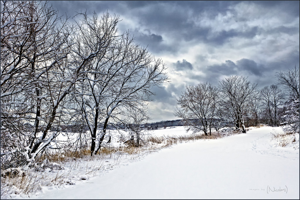
Snow Covered Treeline as Storm Breaks

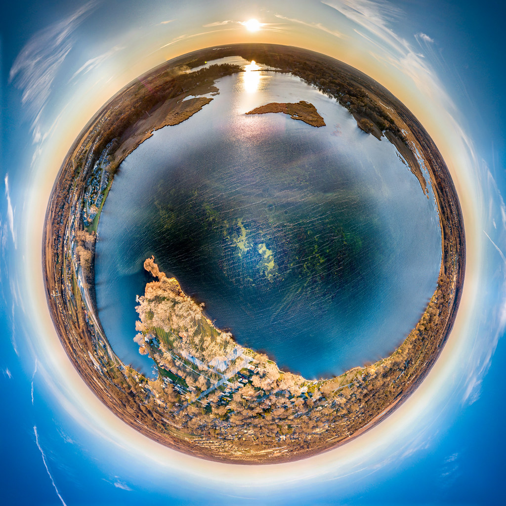
Vernon Marsh Tiny Planet
Mess of Catails 52-2
Day 20 - something I saw today. Blues sky and leafless trees are my view as I start a new book! #fmsphotoaday #myviewtoday

214/365

221/365

194/365
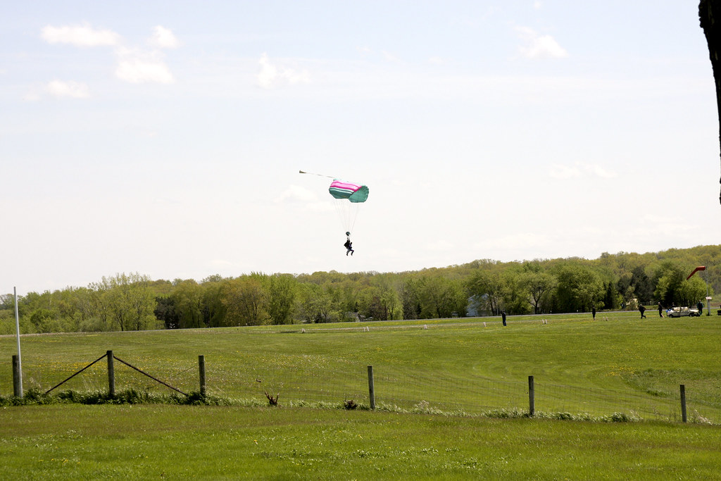
Tim landing
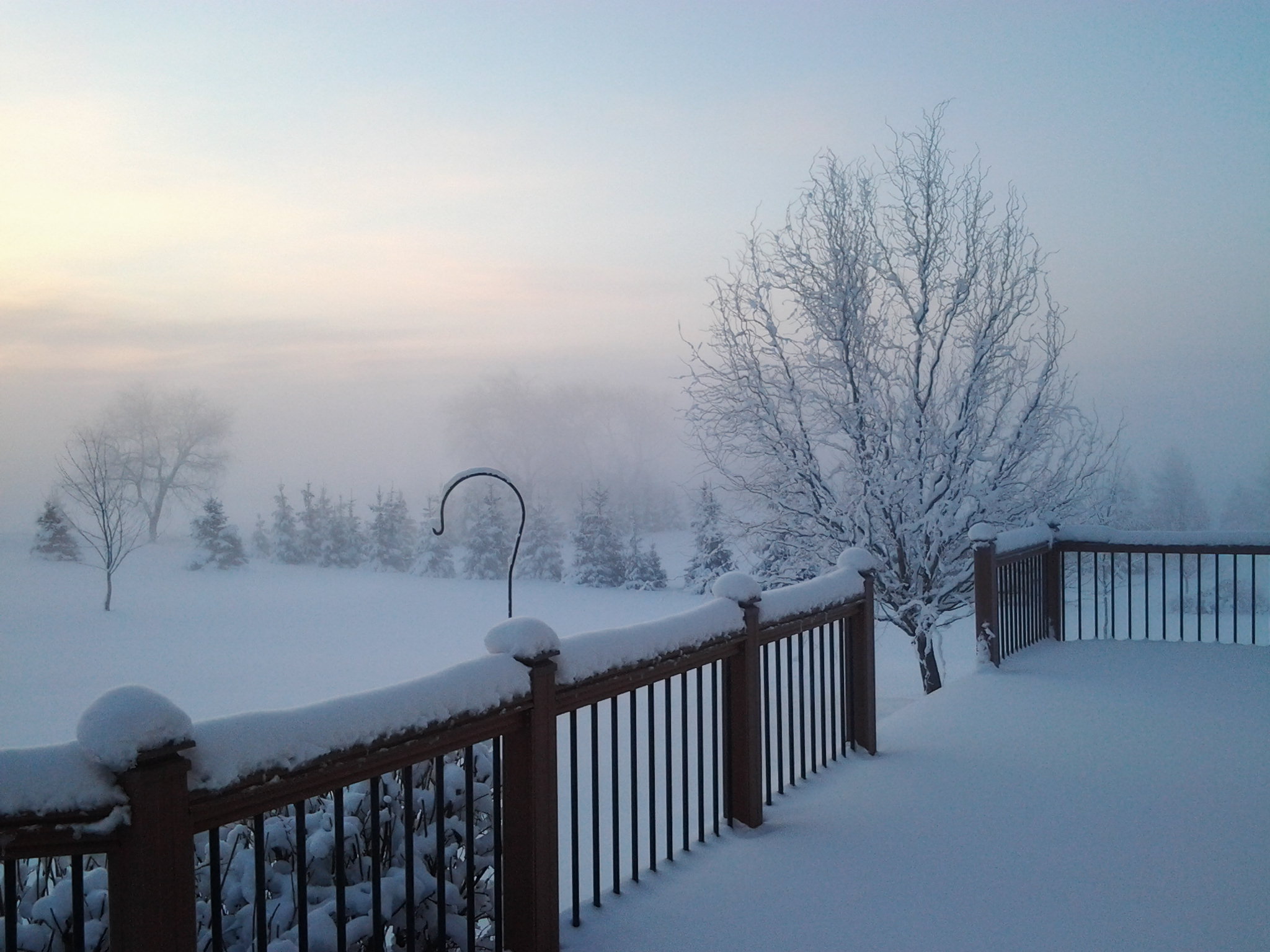
Snow & Frost.jpg
Lower Phantom Lake Little Planet
my back yard 10/10/10

140/365

232/365

66/365
Looking Straight Up
Racine Avenue

79/365
Someone's cheating
Downtown Mukwonago Little Planet
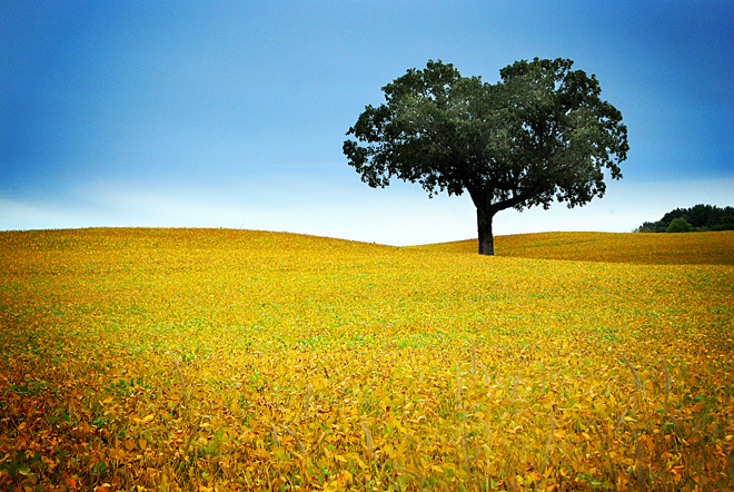
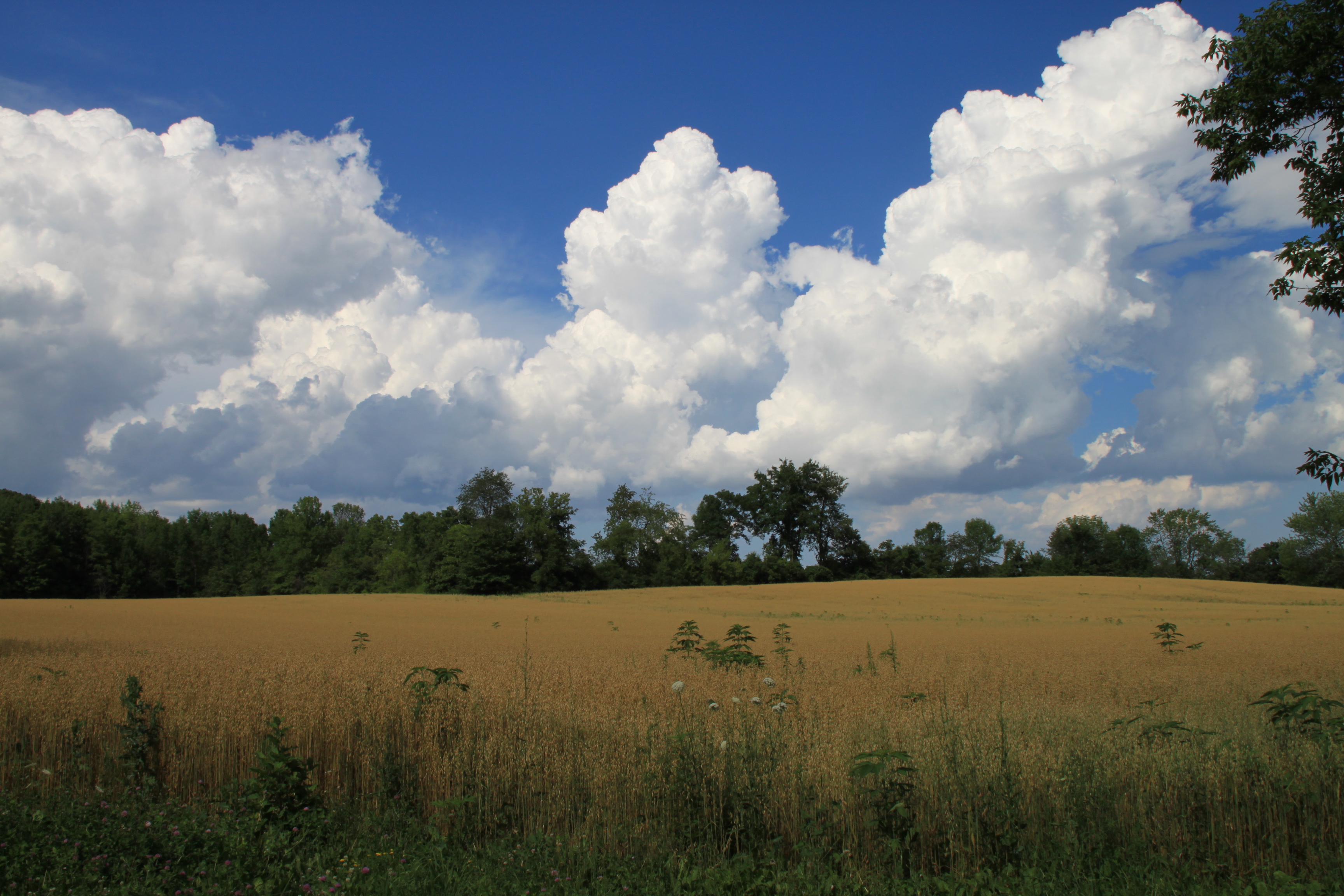
Golden field
Phantom Reflections
Eagle Lake Barn
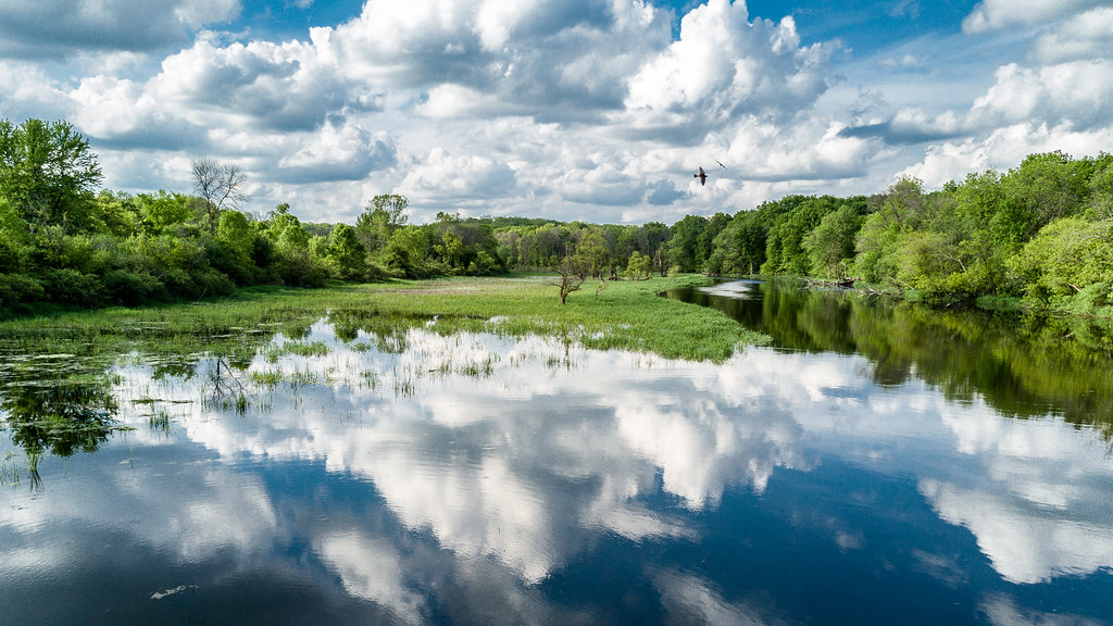
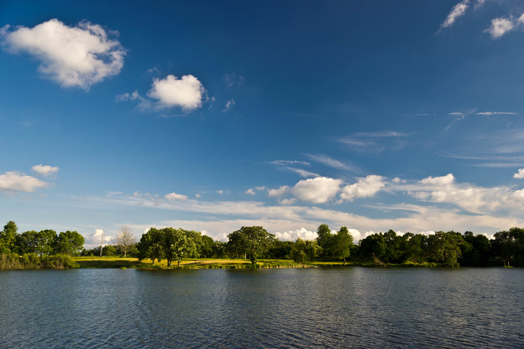
Fox River
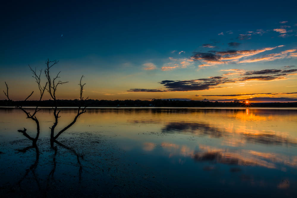
Frog Alley Sunset - Explored
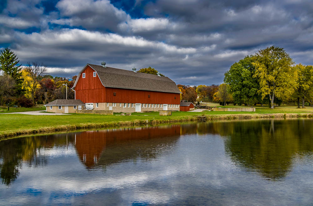
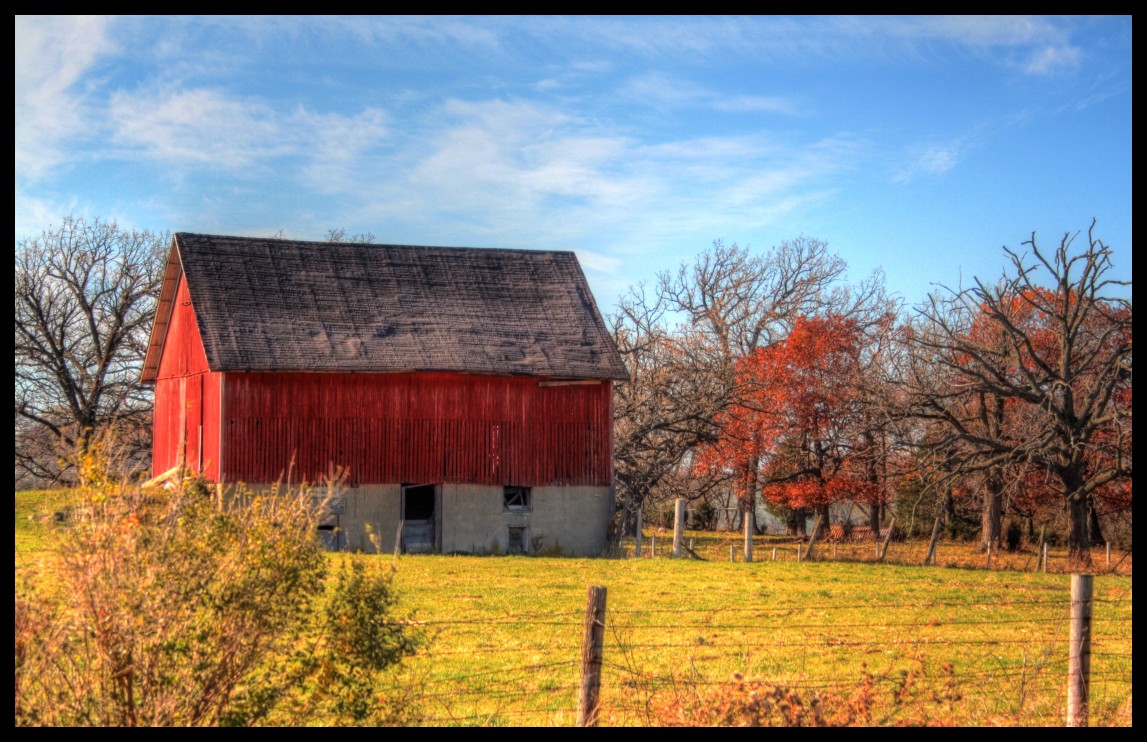
Red Barn in Autumn
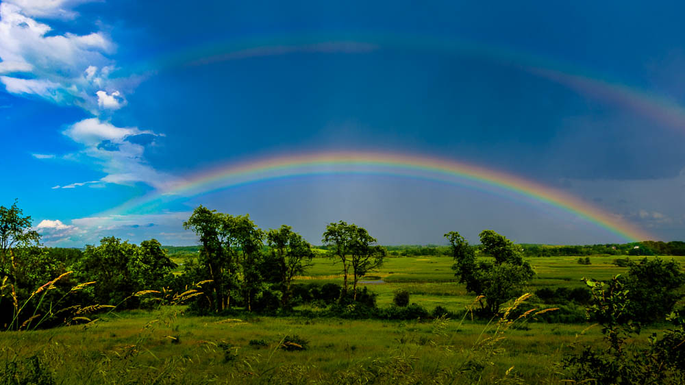
Vernon Marsh Double Rainbow

A is for Altostratus Clouds
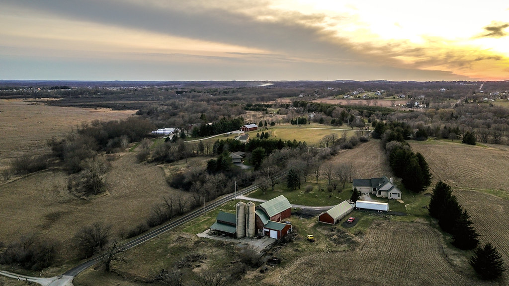
Down the road
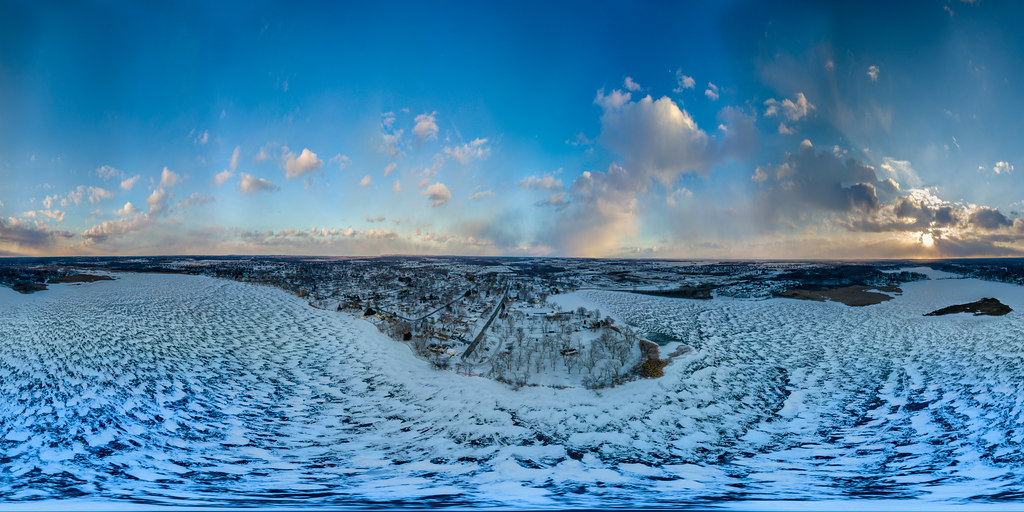
Frozen Phantom Lake 360 Panorama.jpg

Phantom Lake

Blazing Rail Bridge

Ice Blue
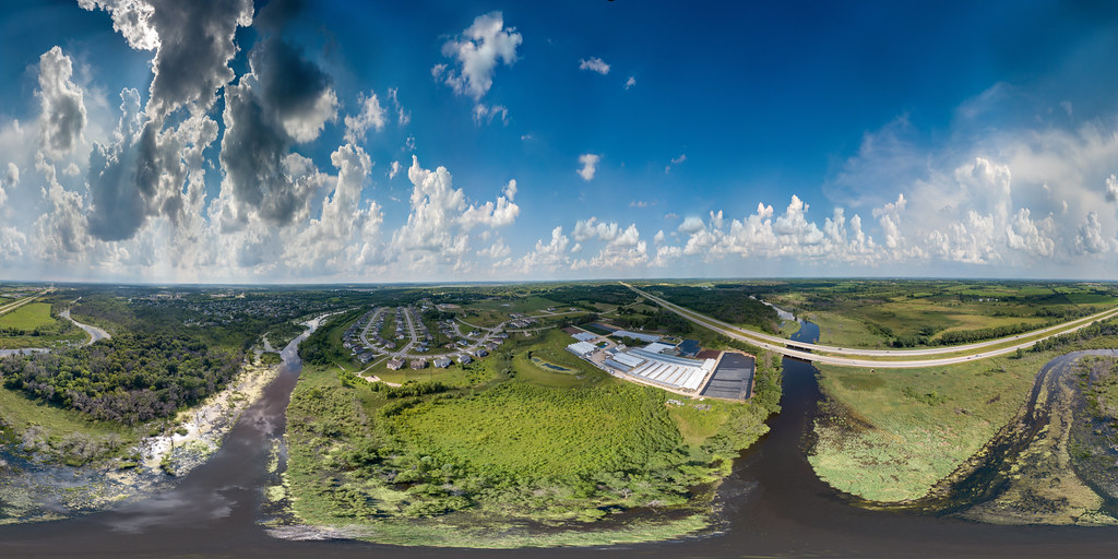
Fox and Mukwonago Rivers 360 Pano
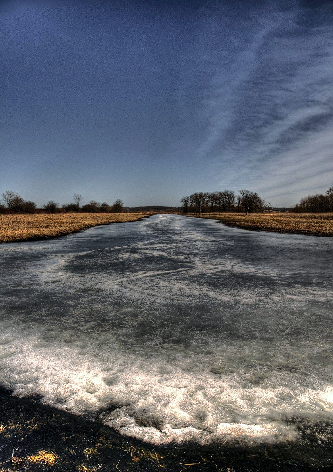
Last Ice of the Season
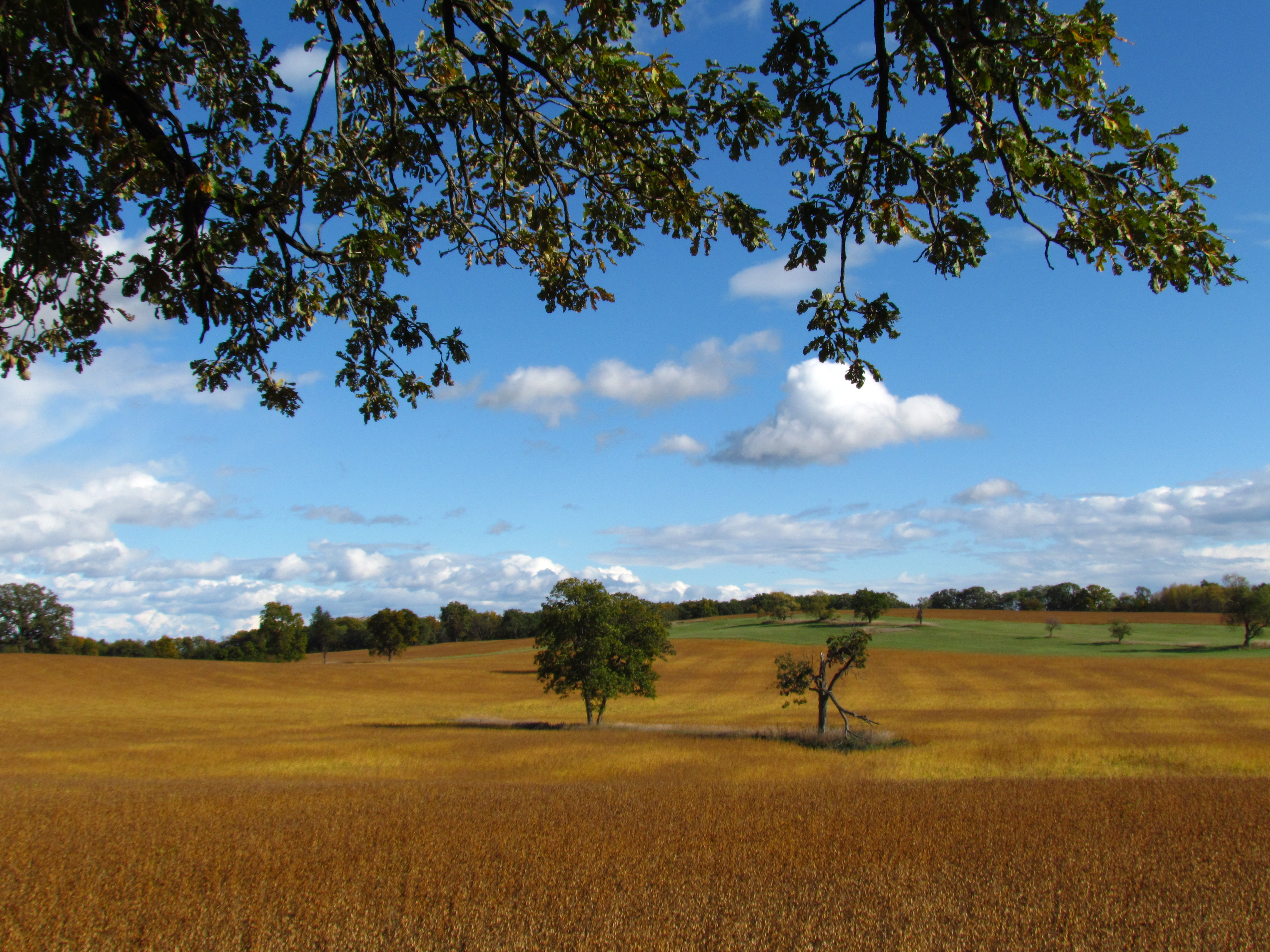
Wisconsin farmland
Mukwonago Park Lagoon 2

Bird's Eye Cowls
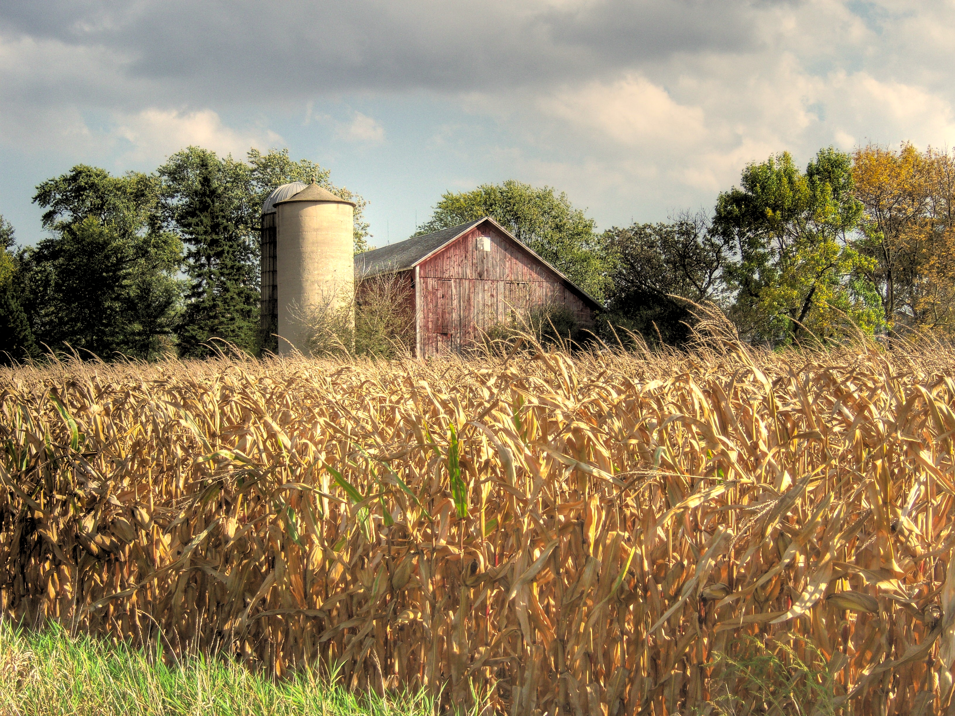
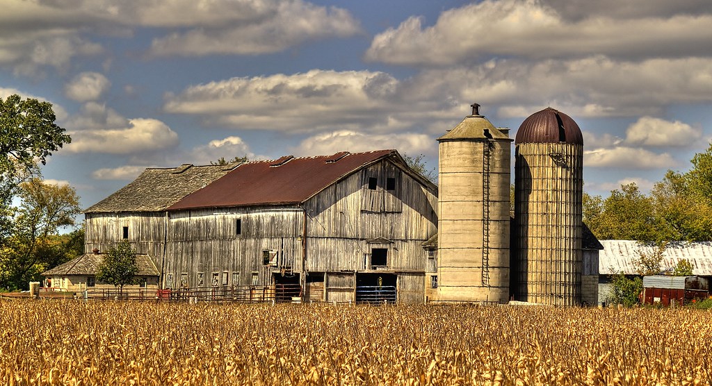
Harvest Barn
Topographic Map of Channel Rd, Waterford, WI, USA
Find elevation by address:

Places near Channel Rd, Waterford, WI, USA:
Tichigan
5715 Buena Park Rd
Big Bend Rd, Waterford, WI, USA
W Main St, Waterford, WI, USA
Waterford
815 Willow Bend Dr
743 Still Pond Dr
Edgewood Golf Course
26861 Oakridge Dr
Wind Lake
S Loomis Rd, Wind Lake, WI, USA
Red Oak Ct, Muskego, WI, USA
Big Bend
Norway
1011 Janesville Rd
2714 N Beaumont Ave
Washington Ave, Kansasville, WI, USA
8 Mile Road
2781 108th St
18500 Walden Dr
Recent Searches:
- Elevation of 3 Nestling Wood Dr, Long Valley, NJ, USA
- Elevation of Ilungu, Tanzania
- Elevation of Yellow Springs Road, Yellow Springs Rd, Chester Springs, PA, USA
- Elevation of Rēzekne Municipality, Latvia
- Elevation of Plikpūrmaļi, Vērēmi Parish, Rēzekne Municipality, LV-, Latvia
- Elevation of 2 Henschke Ct, Caboolture QLD, Australia
- Elevation of Redondo Ave, Long Beach, CA, USA
- Elevation of Sadovaya Ulitsa, 20, Rezh, Sverdlovskaya oblast', Russia
- Elevation of Ulitsa Kalinina, 79, Rezh, Sverdlovskaya oblast', Russia
- Elevation of 72-31 Metropolitan Ave, Middle Village, NY, USA