Elevation of Channel Blvd, Holly Ridge, NC, USA
Location: United States > North Carolina > Pender County > Topsail > Topsail Beach >
Longitude: -77.62875
Latitude: 34.368842
Elevation: 0m / 0feet
Barometric Pressure: 101KPa
Elevation Map:
Satellite Map:
Related Photos:

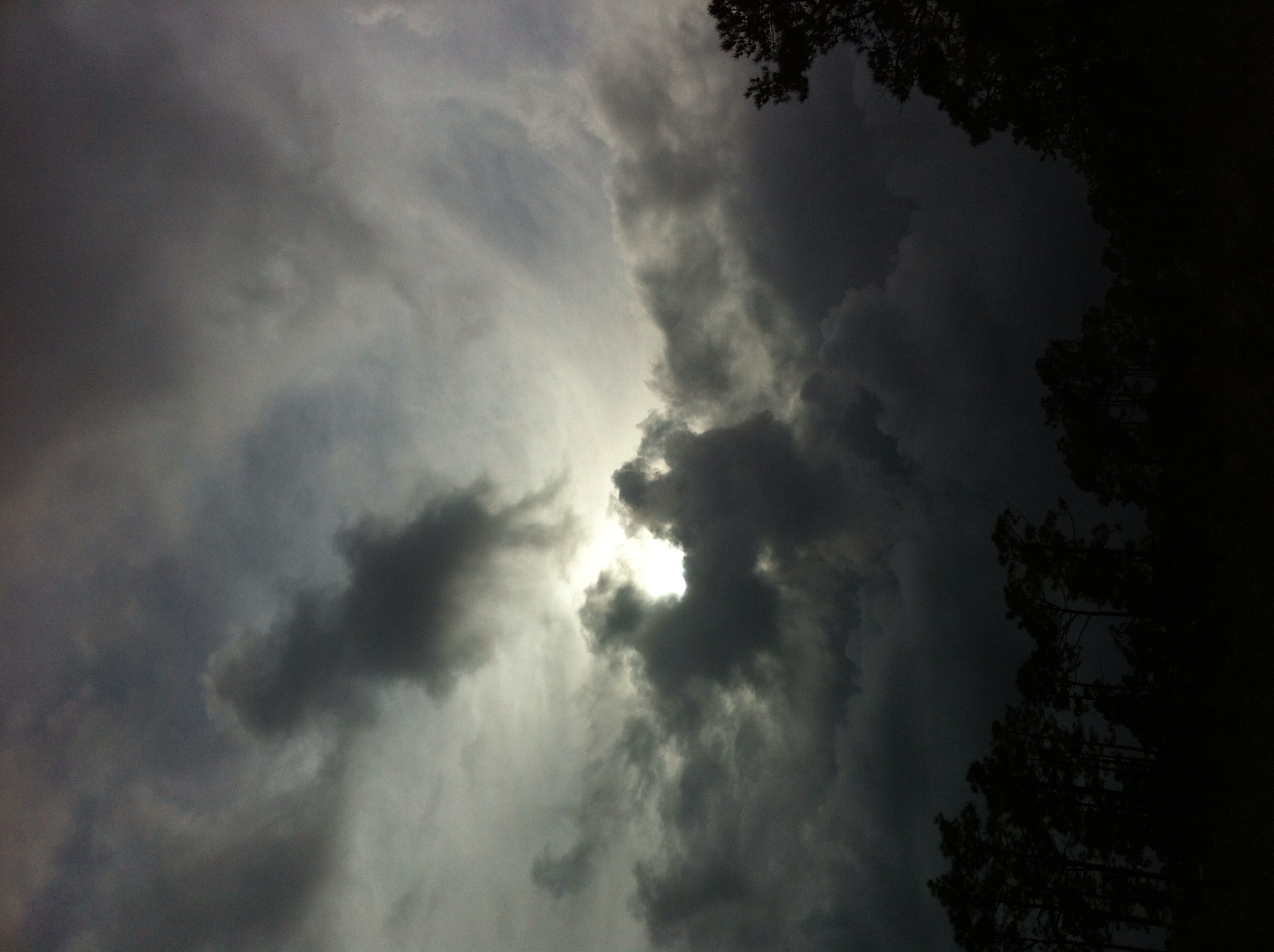
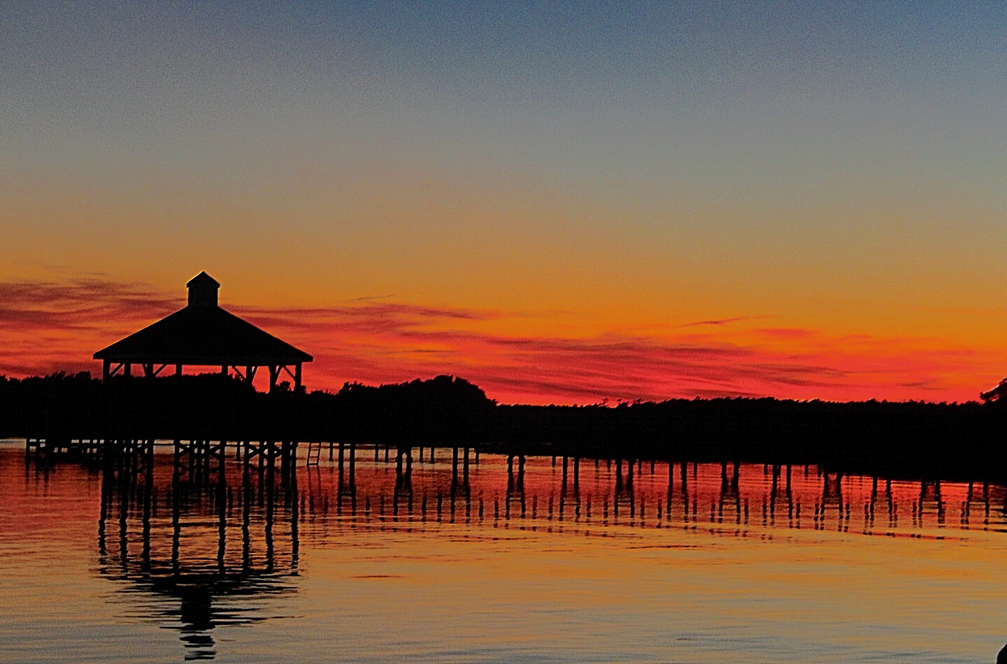
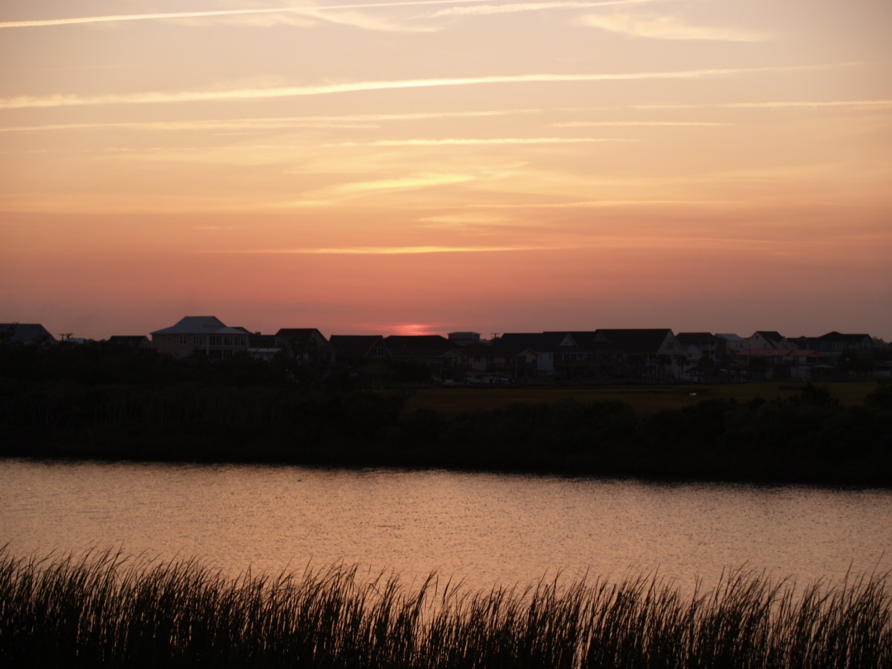
Salt Marsh Sunset

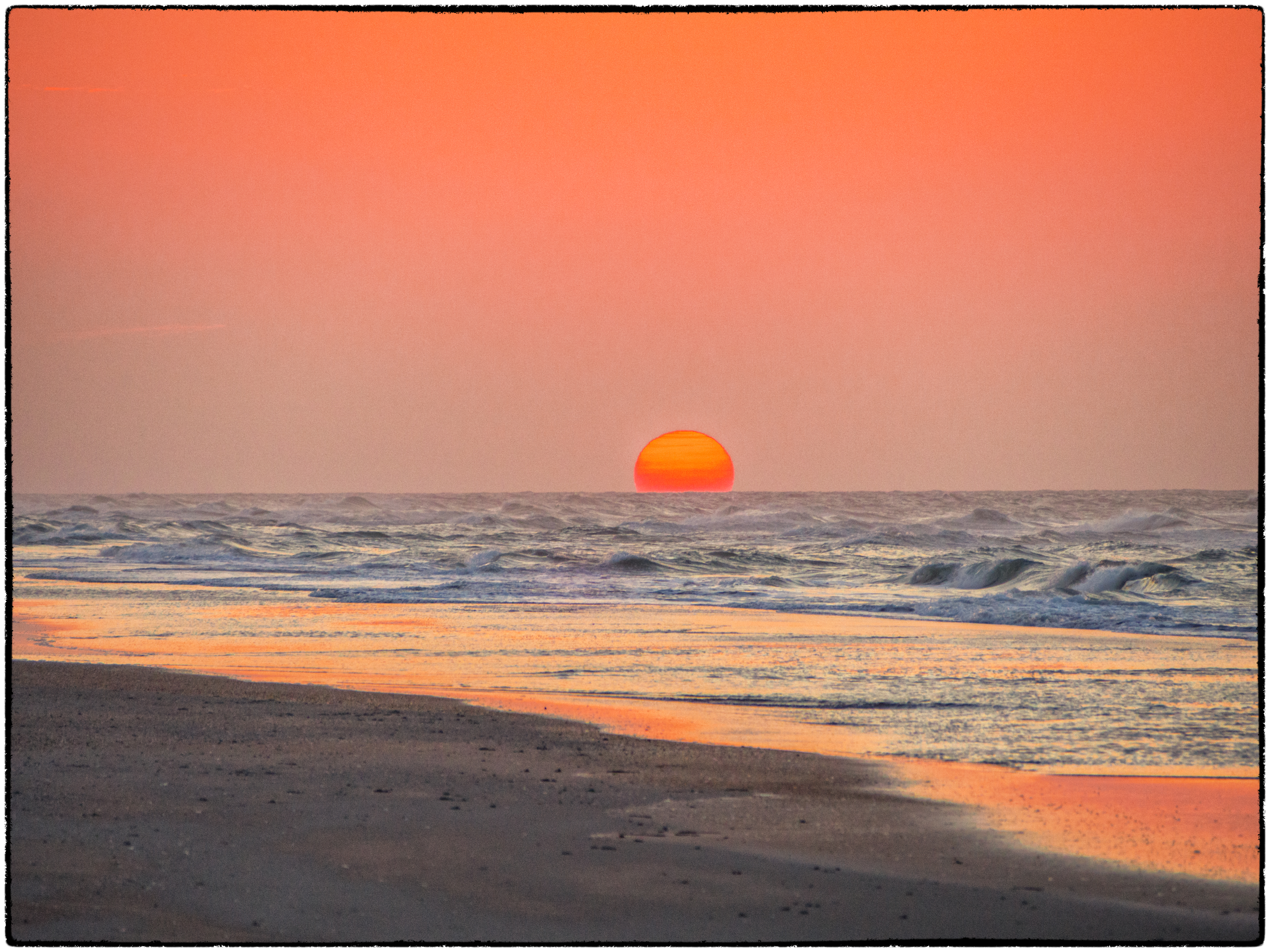
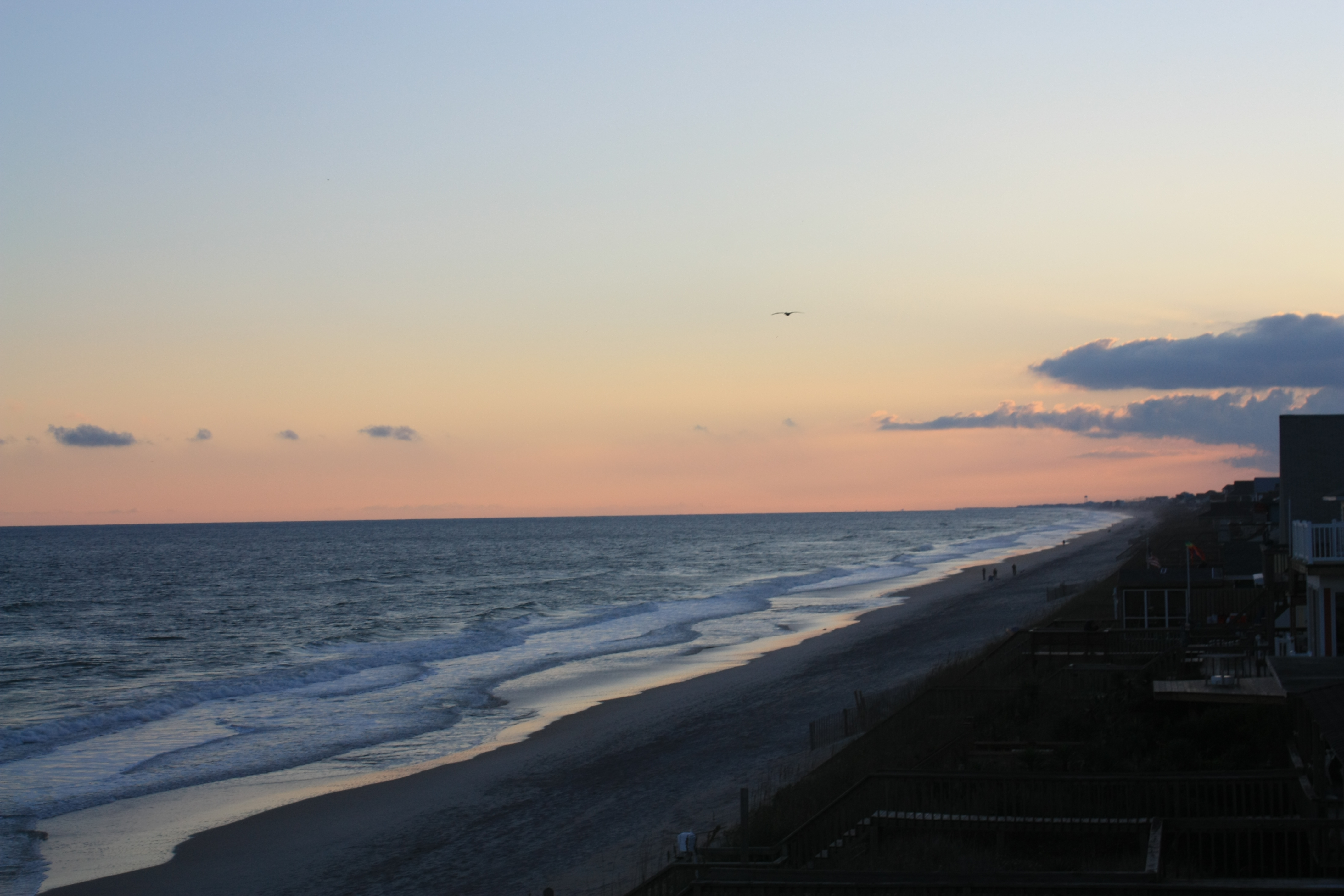
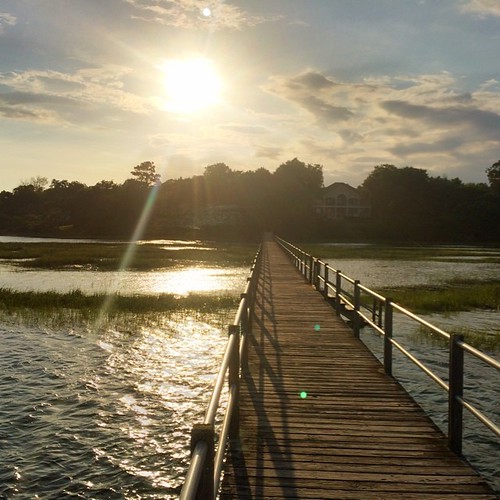
Sunrise at the Beach
April-May 2013
Topsail Island, NC - Love this place!
I'm Ready For A Vacation

The last one of the trip.
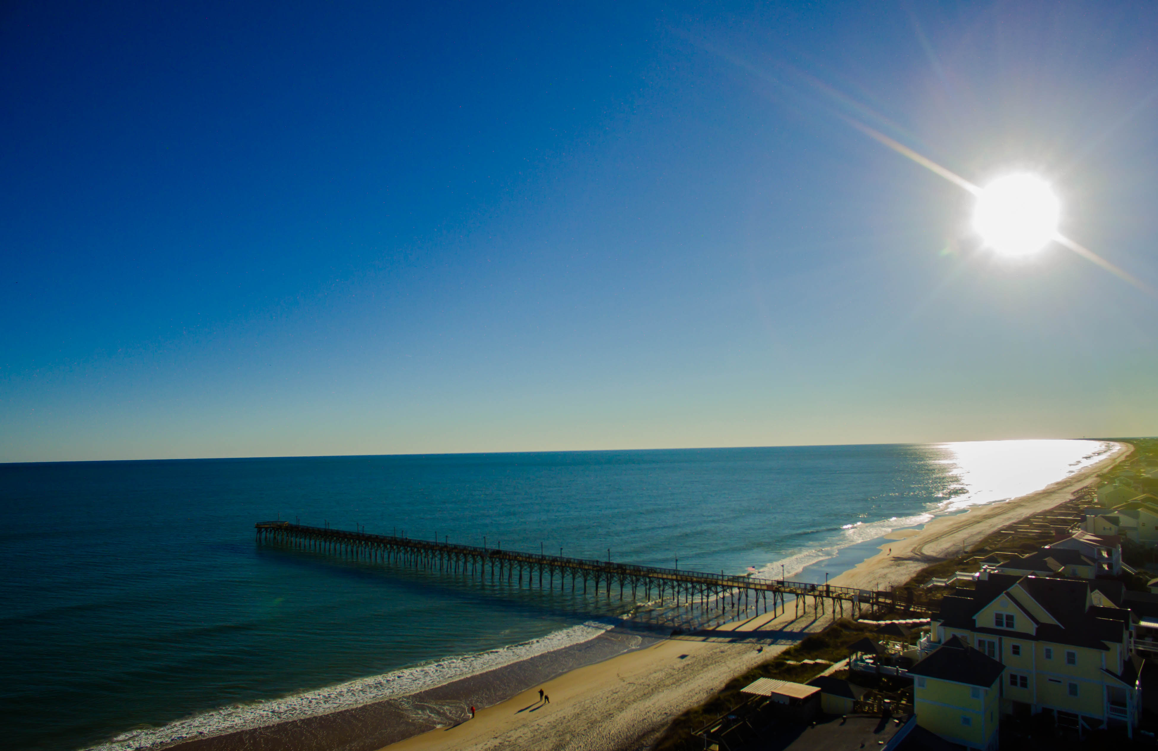
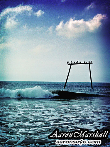
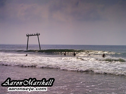
Surf City Pier

Ocean Rainbow
Topsail Sunset

Topsail Island, NC - Love this place!
DSC02628retro w
DSC03532.JPG
Surf City, North Carolina
Samantha (24)
Wanna See My Puffer?
Kohen (20)
Dawn in Hampstead
DSC02647tweak_filtered w

Dan and Jeaneen's View...Beautiful
Topsail Island, NC 2009
In front of me. I just love it here. #holidaycelebration
Topographic Map of Channel Blvd, Holly Ridge, NC, USA
Find elevation by address:

Places near Channel Blvd, Holly Ridge, NC, USA:
706 S Anderson Blvd
712 S Anderson Blvd
701 S Anderson Blvd
315 S Anderson Blvd
308 Bridgers Ave
212 Bridgers Ave
124 Bridgers Ave
1193 N Anderson Blvd
121 Sound View Dr
126 Pine Needle Dr
1227 Mallard Bay Dr
112 Inlet Ct
112 Pine Needle Dr
Pine Needle Drive
411 Lakeview Dr
506 Windward Landing Pl
204 Lakeview Dr
202 Lakeview Dr
120 Lakeview Dr
307 Hickory Ln
Recent Searches:
- Elevation of Great Brook Sports, Gold Star Hwy, Groton, CT, USA
- Elevation of 10 Mountain Laurels Dr, Nashua, NH, USA
- Elevation of 16 Gilboa Ln, Nashua, NH, USA
- Elevation of Laurel Rd, Townsend, TN, USA
- Elevation of 3 Nestling Wood Dr, Long Valley, NJ, USA
- Elevation of Ilungu, Tanzania
- Elevation of Yellow Springs Road, Yellow Springs Rd, Chester Springs, PA, USA
- Elevation of Rēzekne Municipality, Latvia
- Elevation of Plikpūrmaļi, Vērēmi Parish, Rēzekne Municipality, LV-, Latvia
- Elevation of 2 Henschke Ct, Caboolture QLD, Australia