Elevation of Channagiri, Karnataka, India
Location: India > Karnataka > Davanagere >
Longitude: 75.9260011
Latitude: 14.0241989
Elevation: 690m / 2264feet
Barometric Pressure: 93KPa
Elevation Map:
Satellite Map:
Related Photos:

Nuggehalli Landscape

Lord Rama with the Bow - Nuggehalli
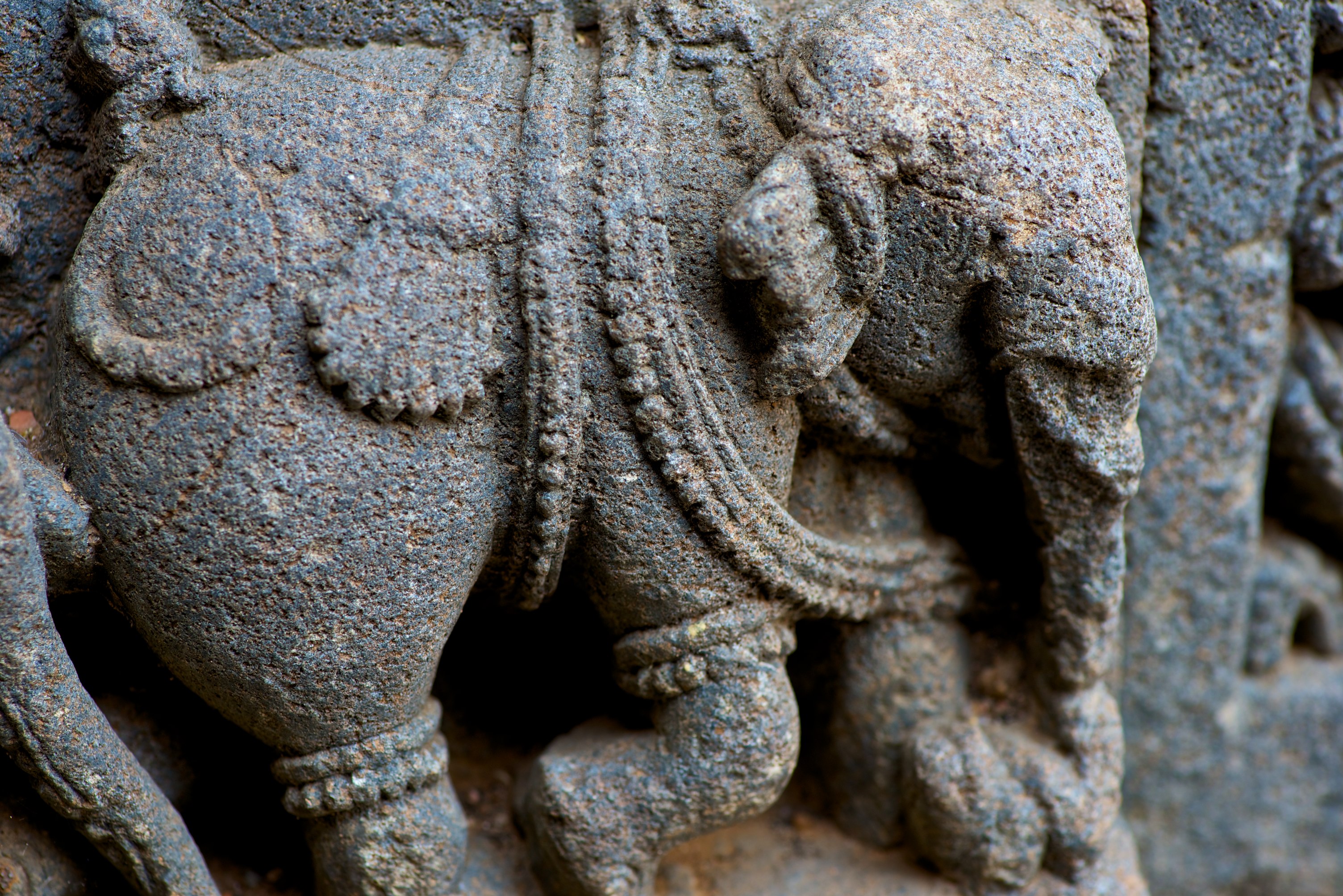
Hoysala Trademark Elephant - Nuggehalli
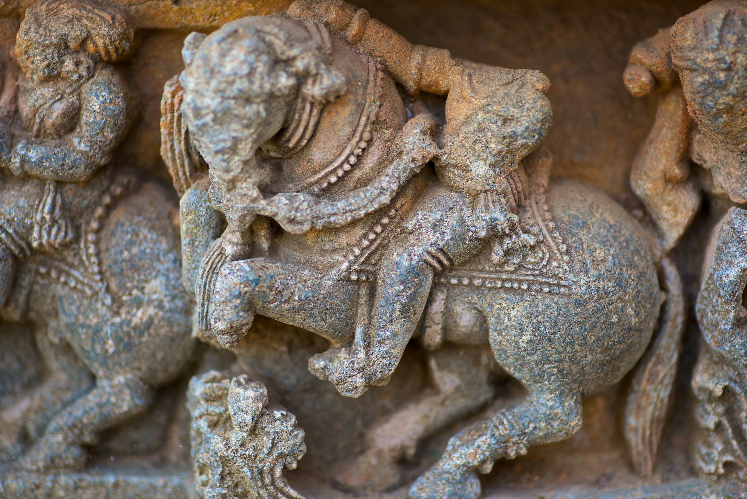
? On the horse!
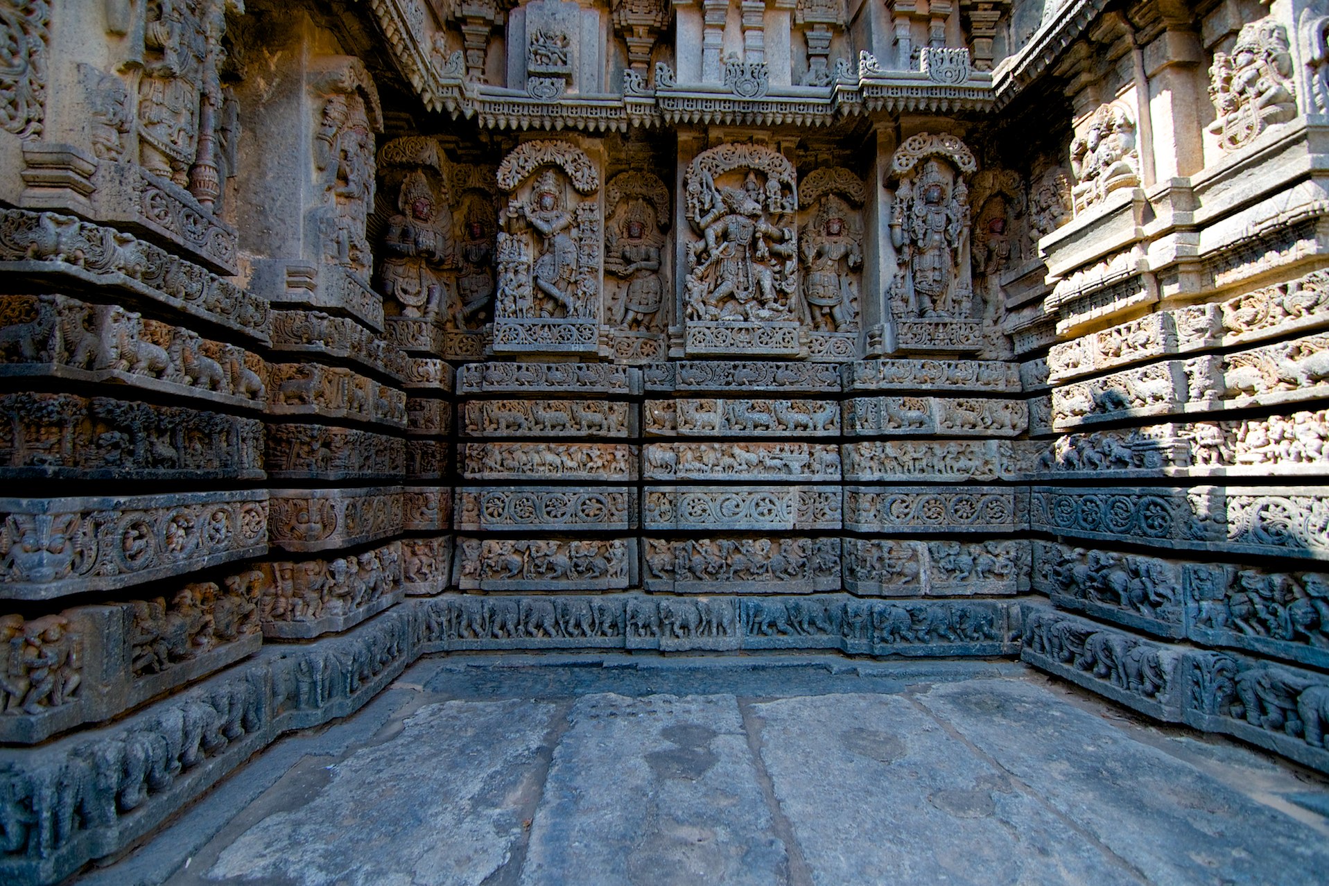
Nuggehalli - Dasavathara
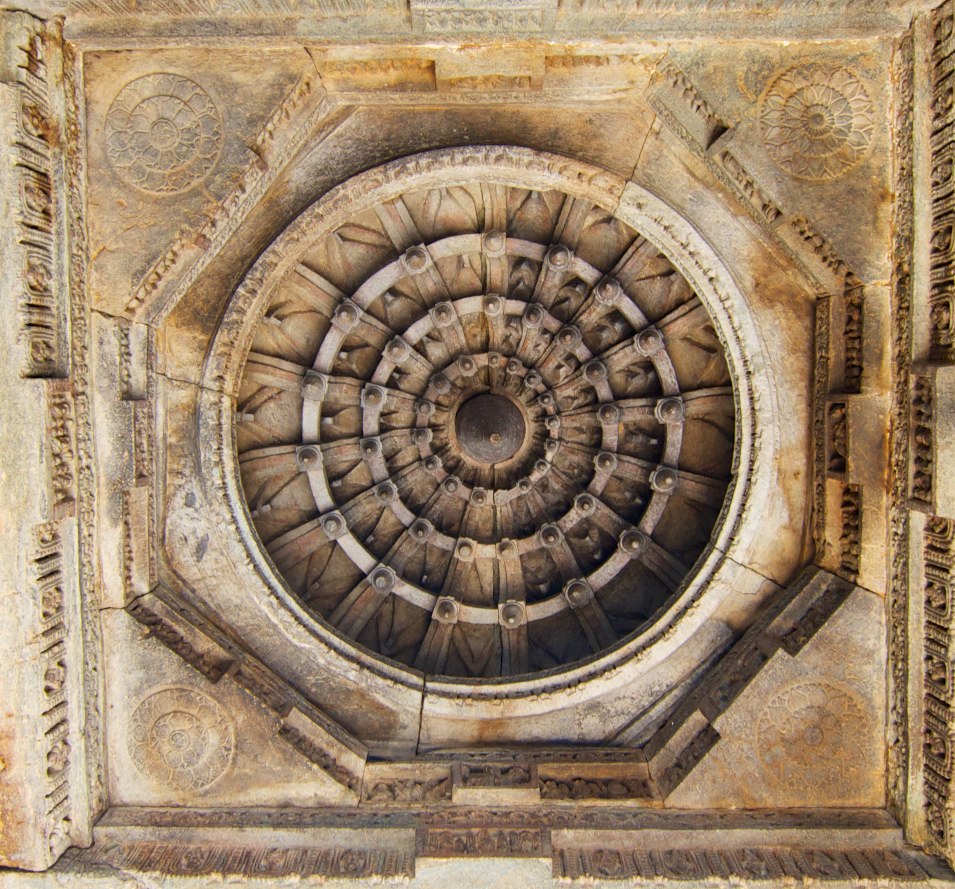
The ceiling
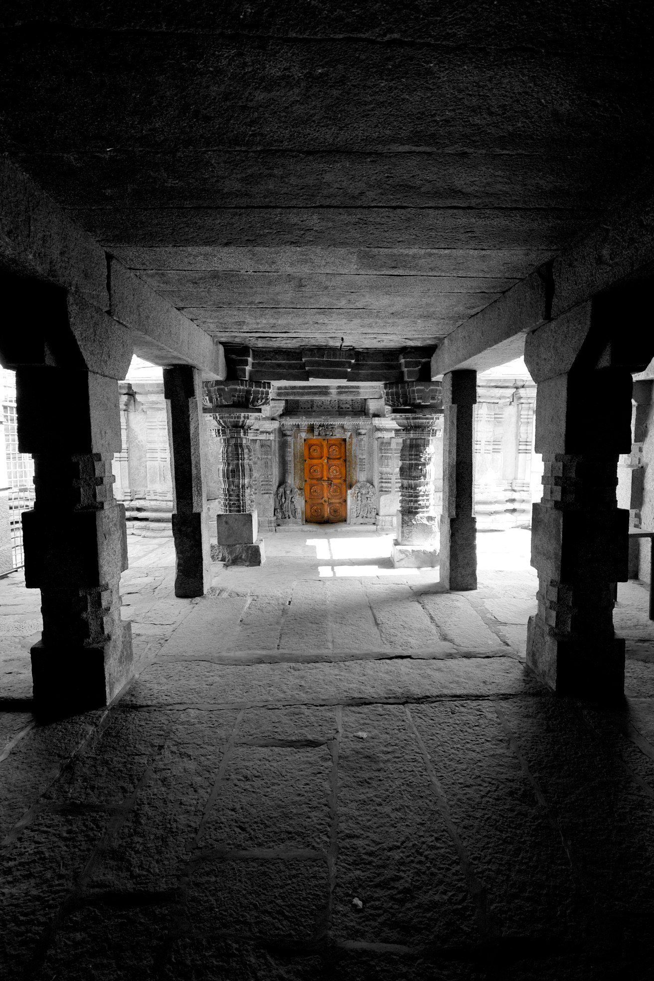
The Door
Topographic Map of Channagiri, Karnataka, India
Find elevation by address:

Places near Channagiri, Karnataka, India:
Bhadravati
Tarikere
Shivamogga
Hosamane
Sharavathi Nagar
171/1
Varashree Farm & Nursery
Gajanuru Agrahara
Manchethevaru
Kemmannugundi
Sakrepatna
Beluru
Arabidacool Bungalow Tata Coffee
Mullayanagiri Peak
Pandaravalli
Kaimara
Mahiyaddin Jumma Masjid
Sirivase
Chikkamagaluru
Naraganahalli
Recent Searches:
- Elevation of Bella Terra Blvd, Estero, FL, USA
- Elevation of Estates Loop, Priest River, ID, USA
- Elevation of Woodland Oak Pl, Thousand Oaks, CA, USA
- Elevation of Brownsdale Rd, Renfrew, PA, USA
- Elevation of Corcoran Ln, Suffolk, VA, USA
- Elevation of Mamala II, Sariaya, Quezon, Philippines
- Elevation of Sarangdanda, Nepal
- Elevation of 7 Waterfall Way, Tomball, TX, USA
- Elevation of SW 57th Ave, Portland, OR, USA
- Elevation of Crocker Dr, Vacaville, CA, USA