Elevation of Changchun, Jilin, China
Location: China > Jilin >
Longitude: 125.323544
Latitude: 43.817072
Elevation: 219m / 719feet
Barometric Pressure: 99KPa
Elevation Map:
Satellite Map:
Related Photos:

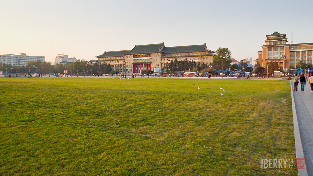
Changchun 长春 人民广场

Inside view

Night. Changchun, China
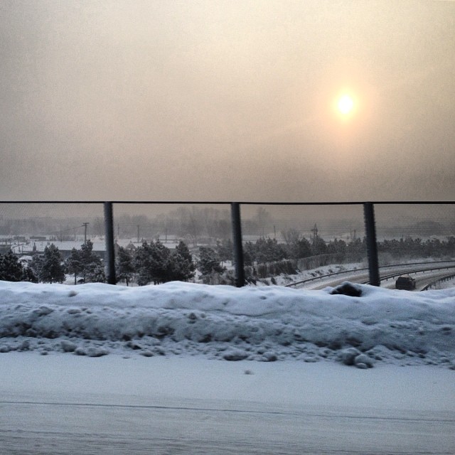
The last few days in Changchun
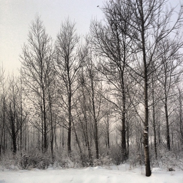
snow #changchun #nature #highway #scene #sight...
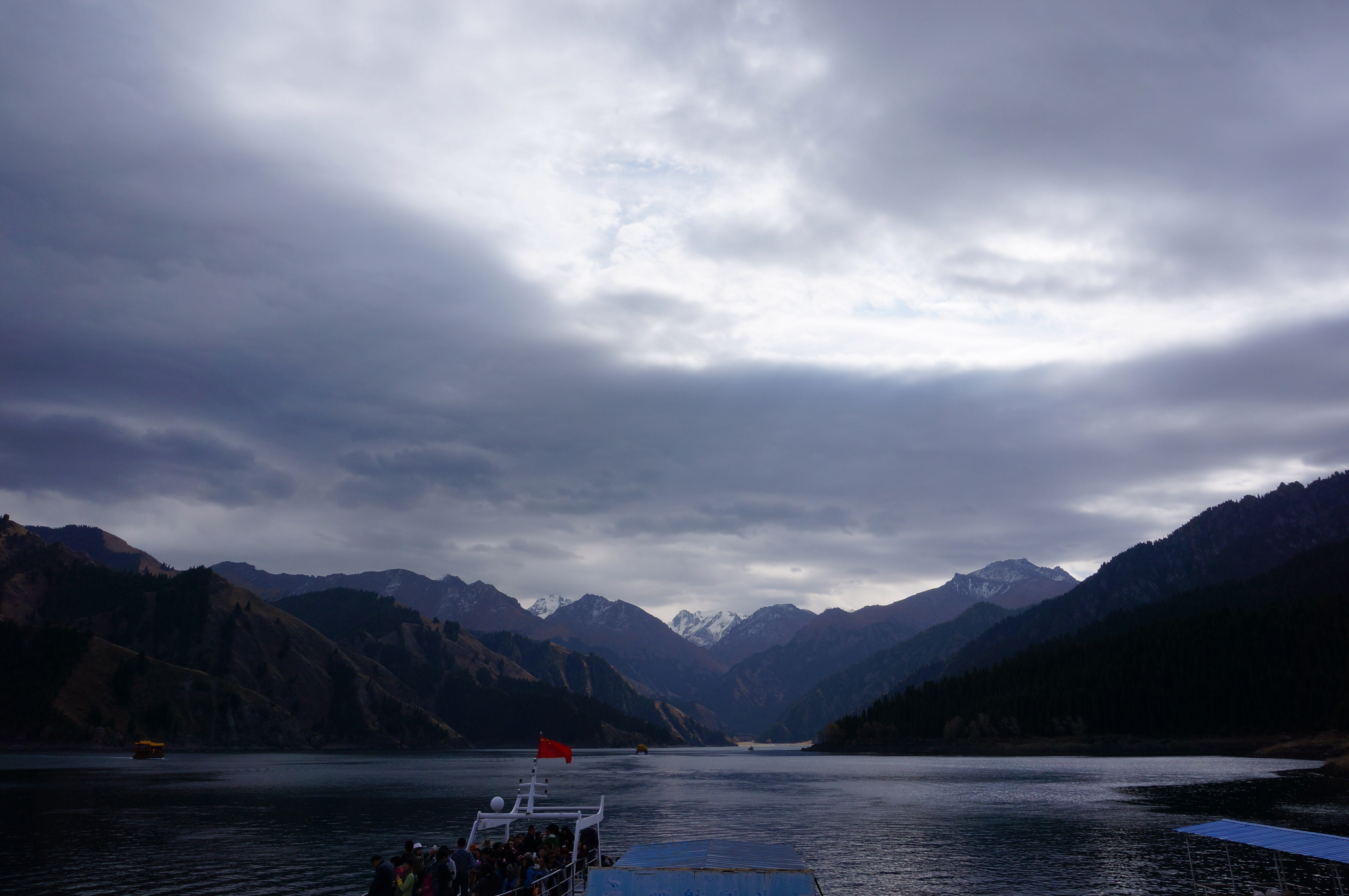
新疆天池

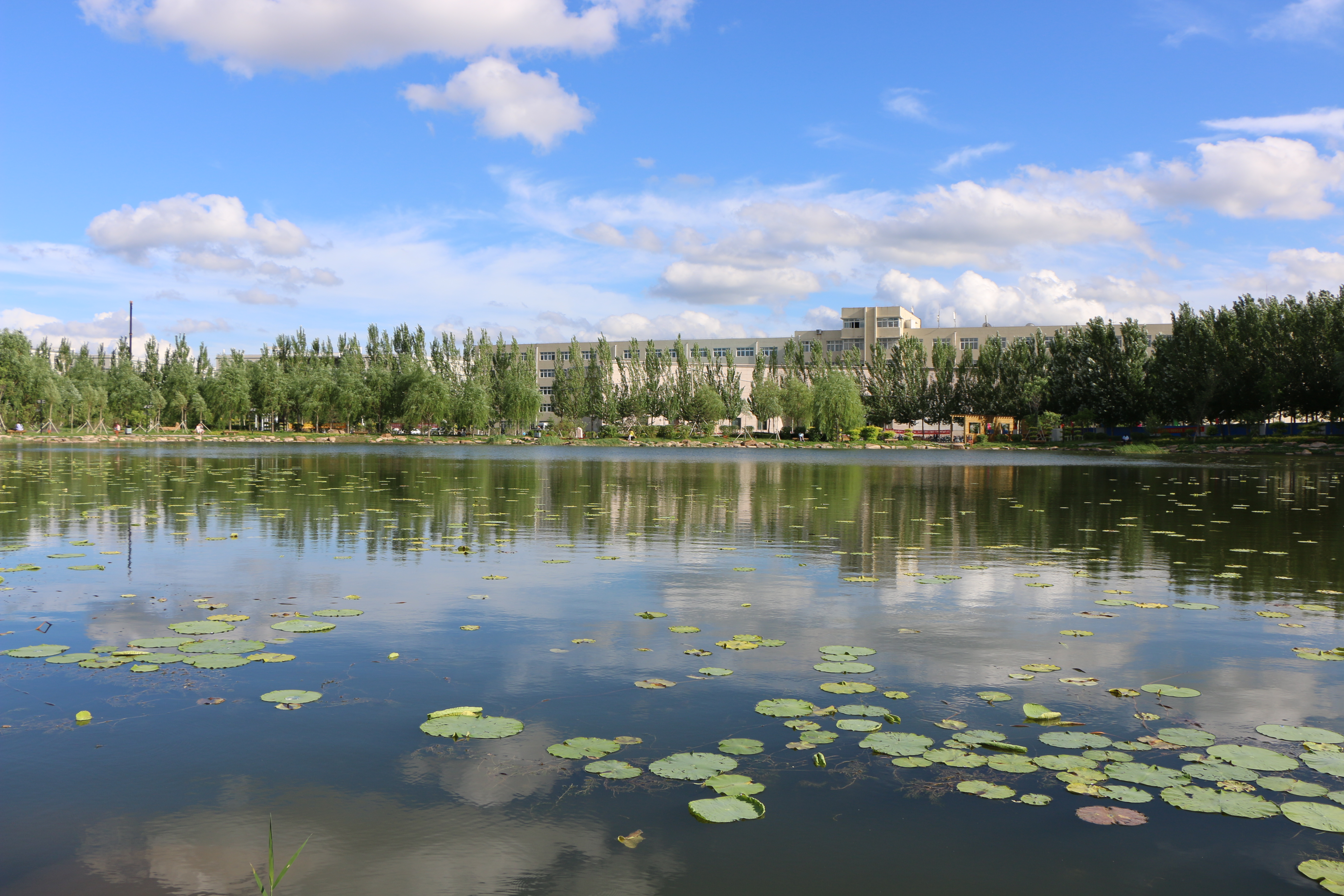
南湖公园

南湖公园
snow #changchun #nature #highway #scene #sight...

南湖公园
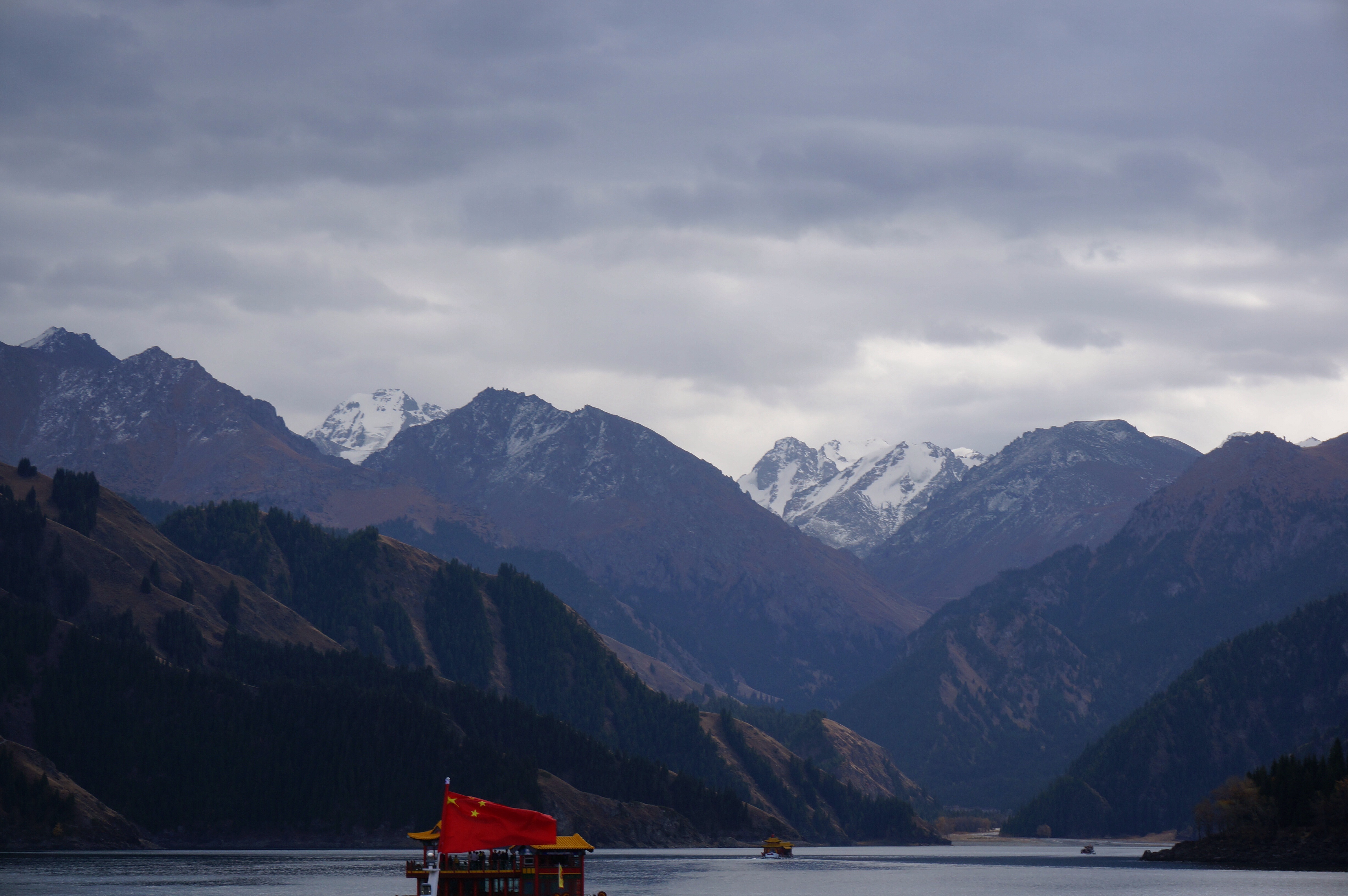
新疆天池
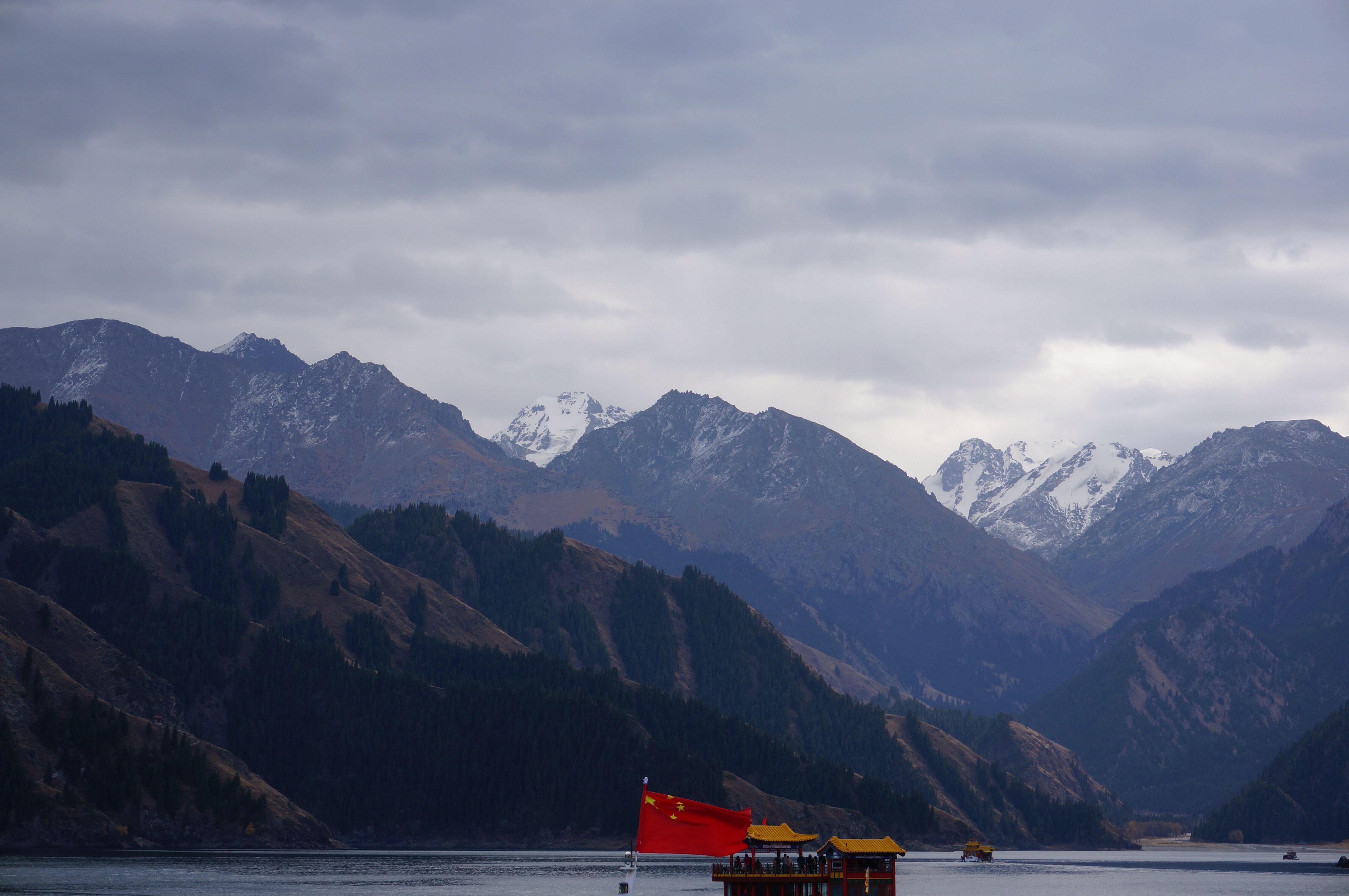
新疆天池
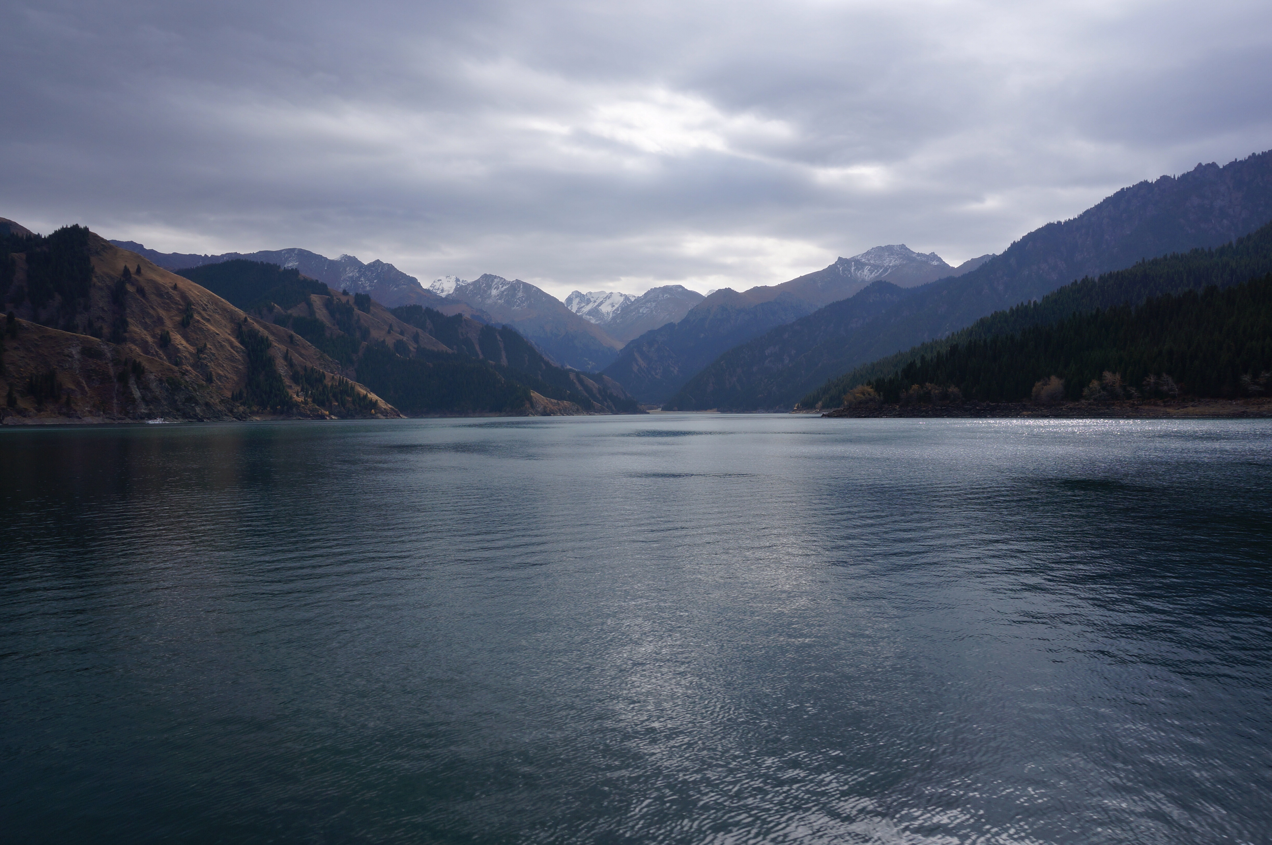
新疆天池
IMG_8414.jpg
Topographic Map of Changchun, Jilin, China
Find elevation by address:

Places near Changchun, Jilin, China:
Recent Searches:
- Elevation of Corso Fratelli Cairoli, 35, Macerata MC, Italy
- Elevation of Tallevast Rd, Sarasota, FL, USA
- Elevation of 4th St E, Sonoma, CA, USA
- Elevation of Black Hollow Rd, Pennsdale, PA, USA
- Elevation of Oakland Ave, Williamsport, PA, USA
- Elevation of Pedrógão Grande, Portugal
- Elevation of Klee Dr, Martinsburg, WV, USA
- Elevation of Via Roma, Pieranica CR, Italy
- Elevation of Tavkvetili Mountain, Georgia
- Elevation of Hartfords Bluff Cir, Mt Pleasant, SC, USA