Elevation of Changbaek-sanjulgi, Changbai Korean Autonomous County, Baishan, China
Longitude: 127.965555
Latitude: 41.745
Elevation: 1681m / 5515feet
Barometric Pressure: 83KPa
Elevation Map:
Satellite Map:
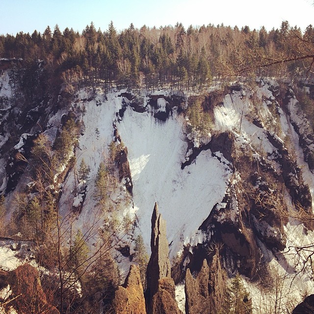
Related Photos:
upload

#长白山 #天池 #travel #china #white #worlderlust #worldplaces #snow #winter #mountain #igmasters #ig_sharepoint #Photojus #nature
Topographic Map of Changbaek-sanjulgi, Changbai Korean Autonomous County, Baishan, China
Find elevation by address:

Places near Changbaek-sanjulgi, Changbai Korean Autonomous County, Baishan, China:
Recent Searches:
- Elevation of Crystal Cir, Birmingham, AL, USA
- Elevation of N Railroad Ave, West Palm Beach, FL, USA
- Elevation of 55 Cassick Valley Rd, Wellfleet, MA, USA
- Elevation of Ironwood Dr, Minden, NV, USA
- Elevation of 高尾山口駅, Takaomachi, Hachioji, Tokyo -, Japan
- Elevation of 15 Victory Ave, Greenville, SC, USA
- Elevation of Kota Ternate Utara, Ternate City, North Maluku, Indonesia
- Elevation of Allon St, Oceanside, NY, USA
- Elevation of Carroll Creek Rd, Custer, SD, USA
- Elevation of Lust Road, Lust Rd, Florida, USA