Elevation of Chandler Creek Rd, Mars Hill, NC, USA
Location: United States > North Carolina > Madison County > 3, Mars Hill > Mars Hill >
Longitude: -82.528166
Latitude: 35.892415
Elevation: 1066m / 3497feet
Barometric Pressure: 89KPa
Elevation Map:
Satellite Map:
Related Photos:

2014.08.24.43 Sams Gap

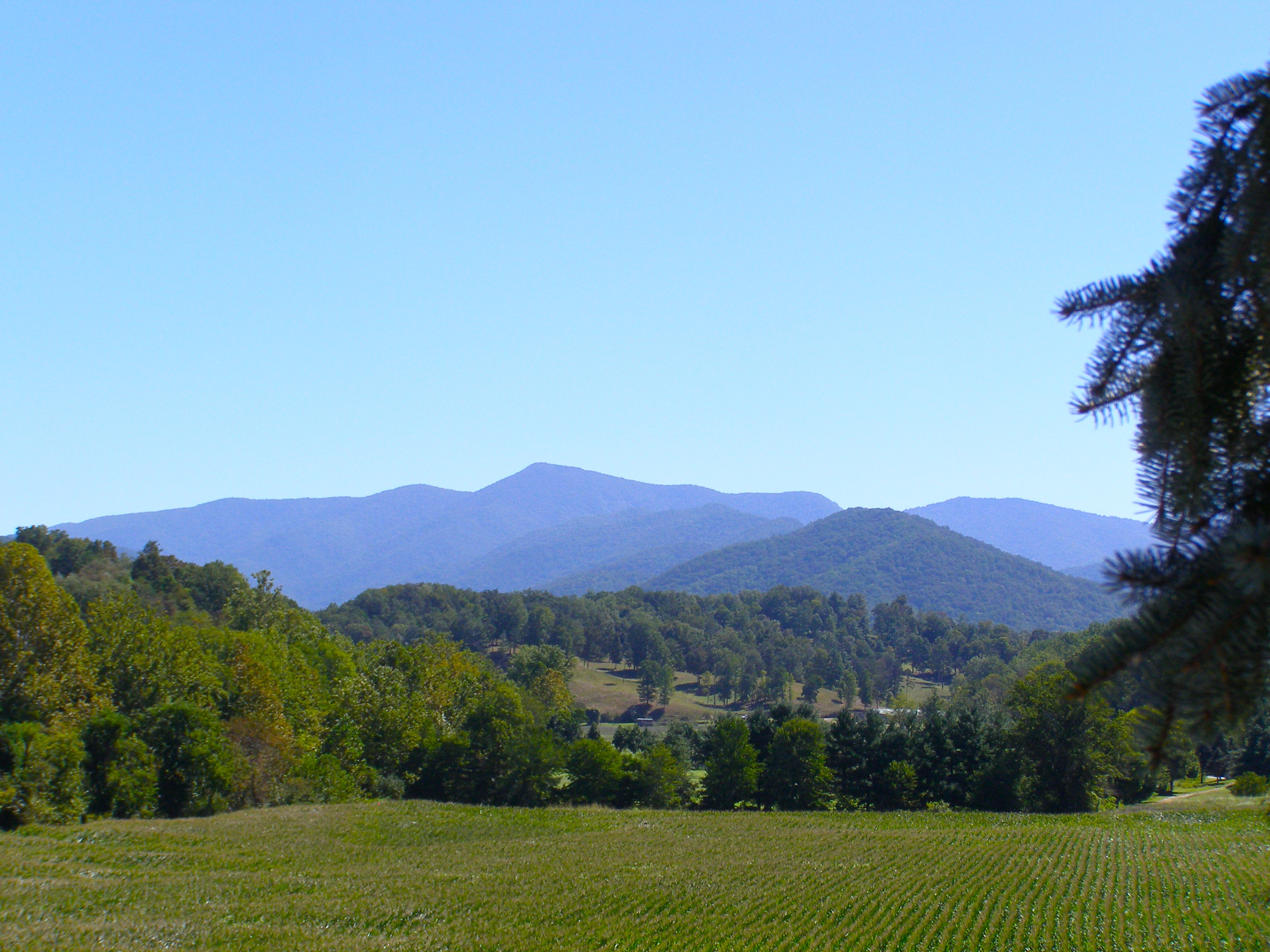
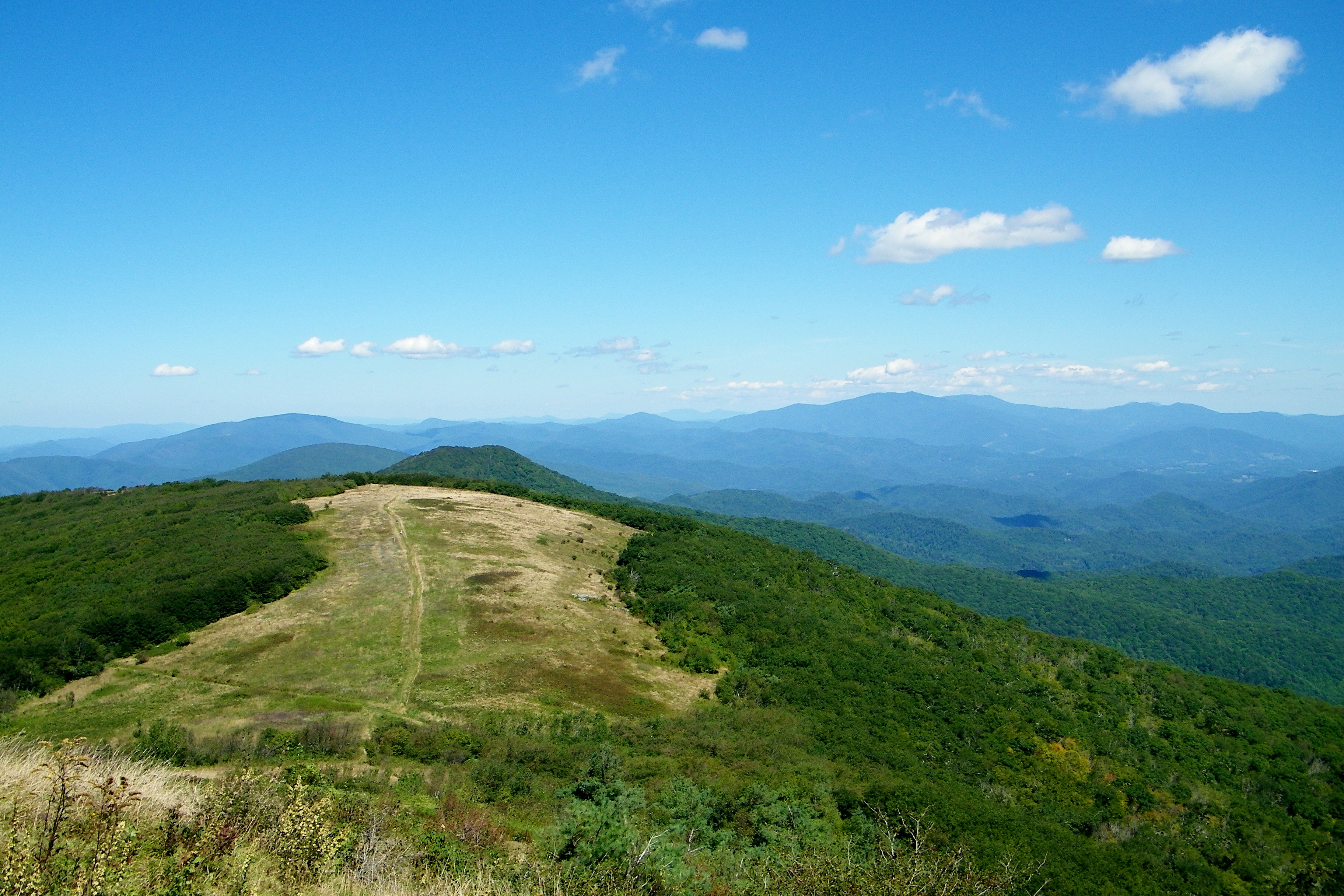
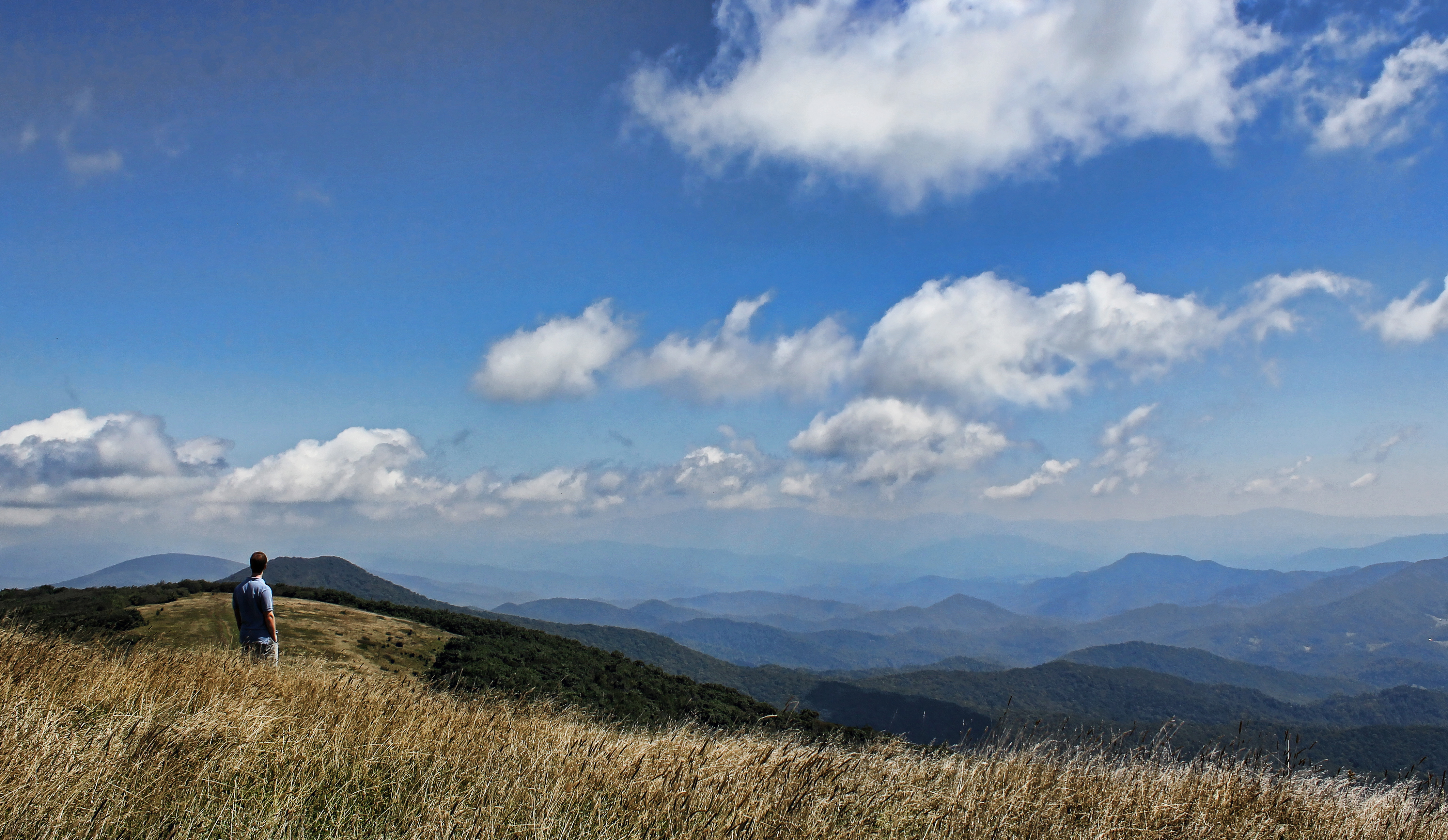
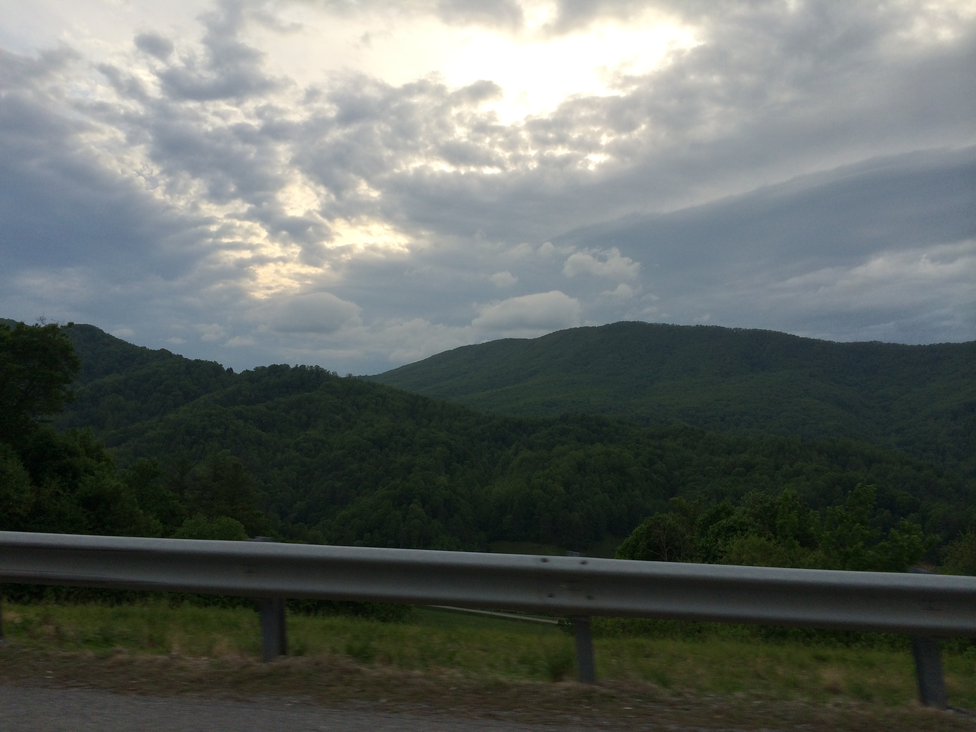
A mountain view
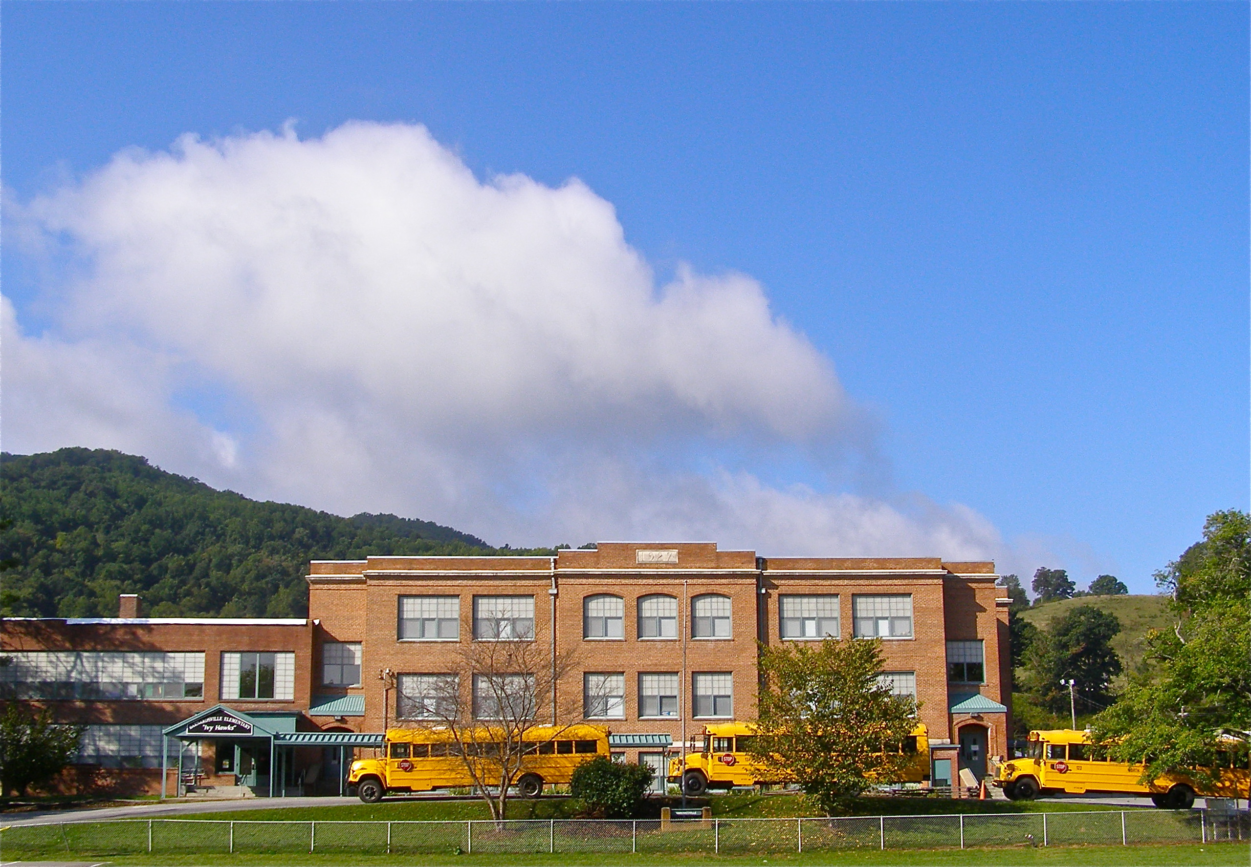
Mountain School
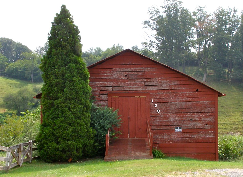
Red Barn with Tree
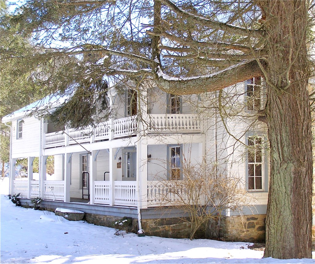
Carter-Swain House
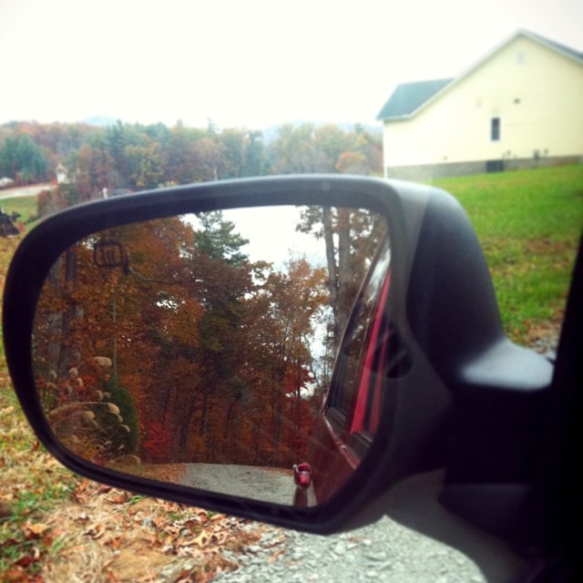
Check out the#beautiful#view in the#mirror
The Bank
Carter-Swain House

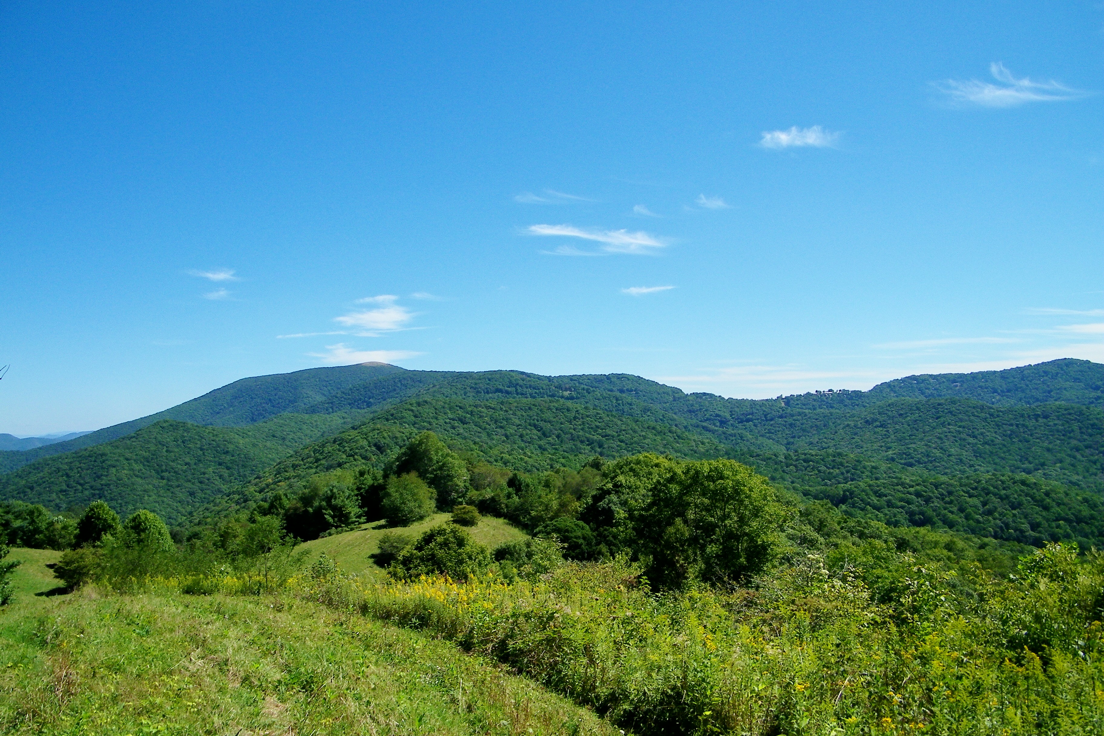
Bald Mountain
Mars Theatre

Old House ☛ New Bank
church in the rain
View from Antioch Church
Appalachian Trail

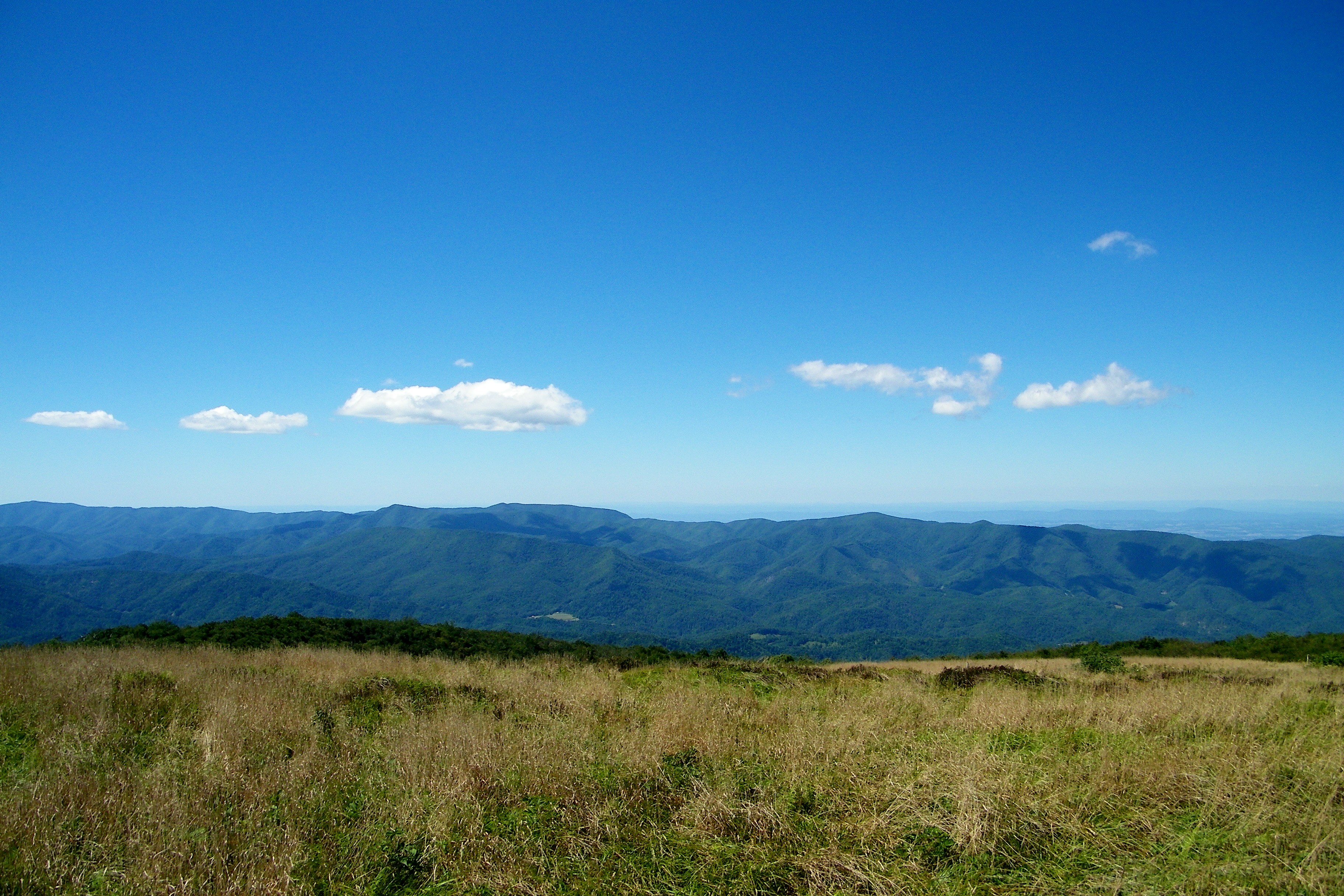
View from W4T/SU-024 - High Rock
Bald Mountain
Appalachian Trail
Bald Mountain

2009-06-20 19:13:45 -0400

Bald Mountain

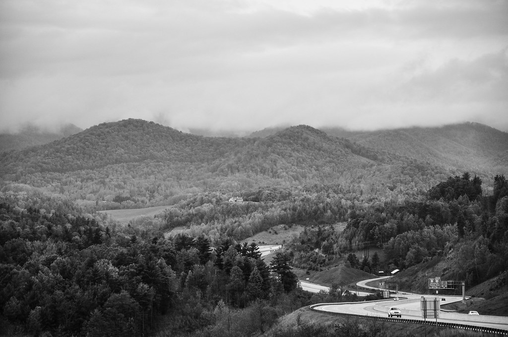
I-26 from the Overlook
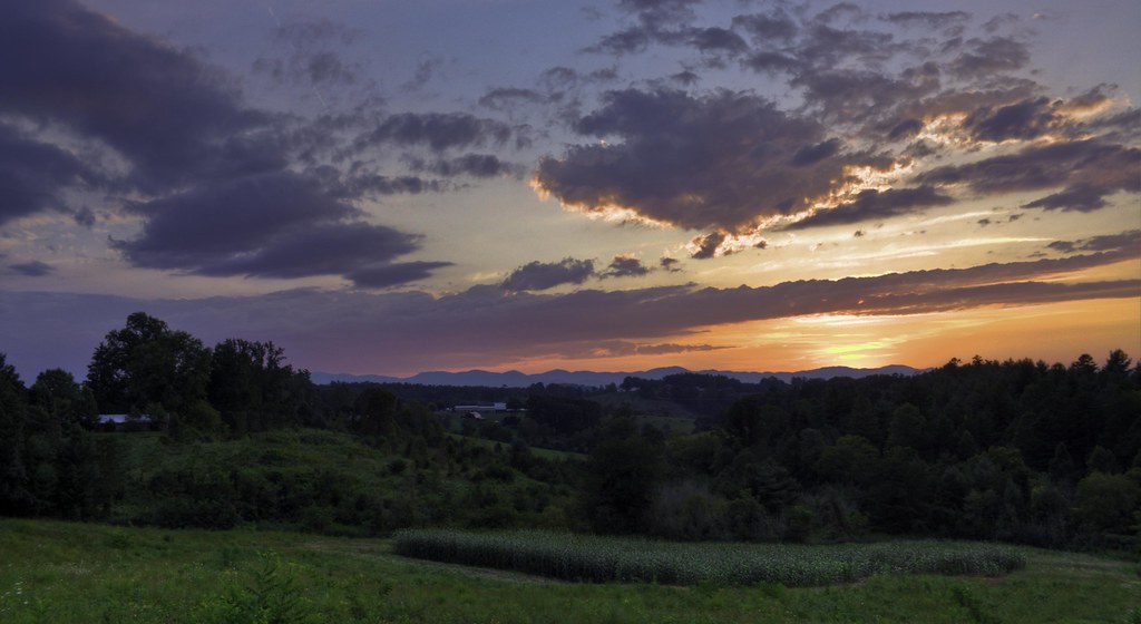
Jupiter Sunset

Raining in the Appalachian Mountains. Big Bald on the Appalachian Trail.
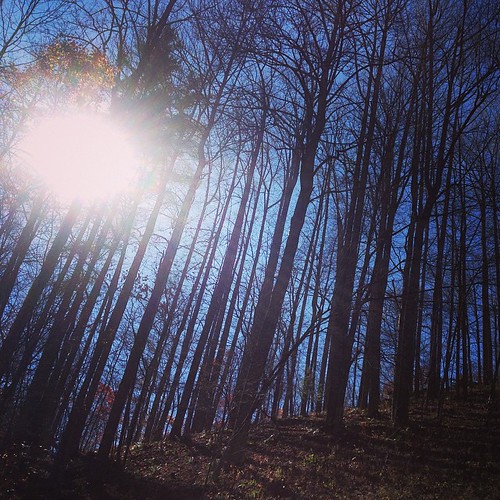
The light fades so quickly here at the farm in the winter. Soft light through bare trees, and peace. #nature #appalachia #riversongmountainsanctuary #wildkatuahhealingarts

Tennesee Colors
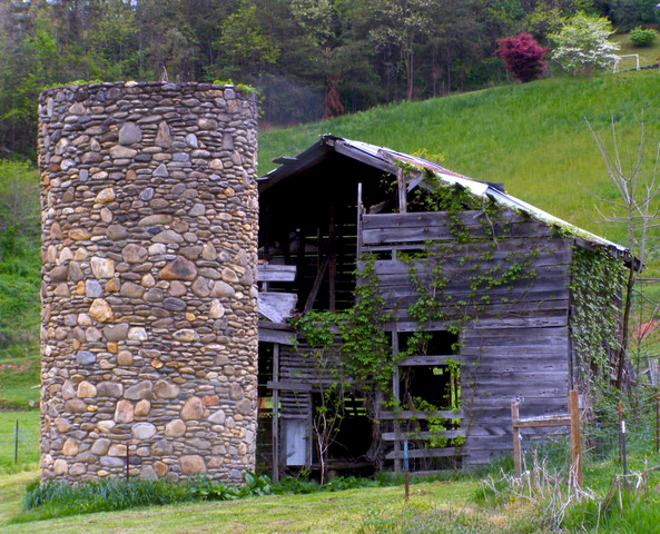
Rock Silo, Barnardsville
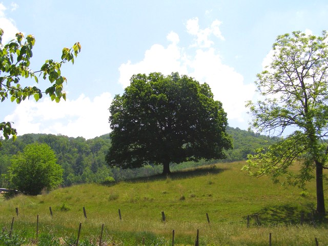
Flat Creek Oak

Cabin in the Woods - Selective Colorization
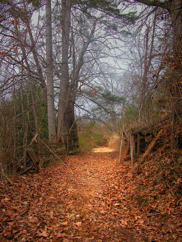
The road silent
The Lookout

Sunrise over the Appalachians
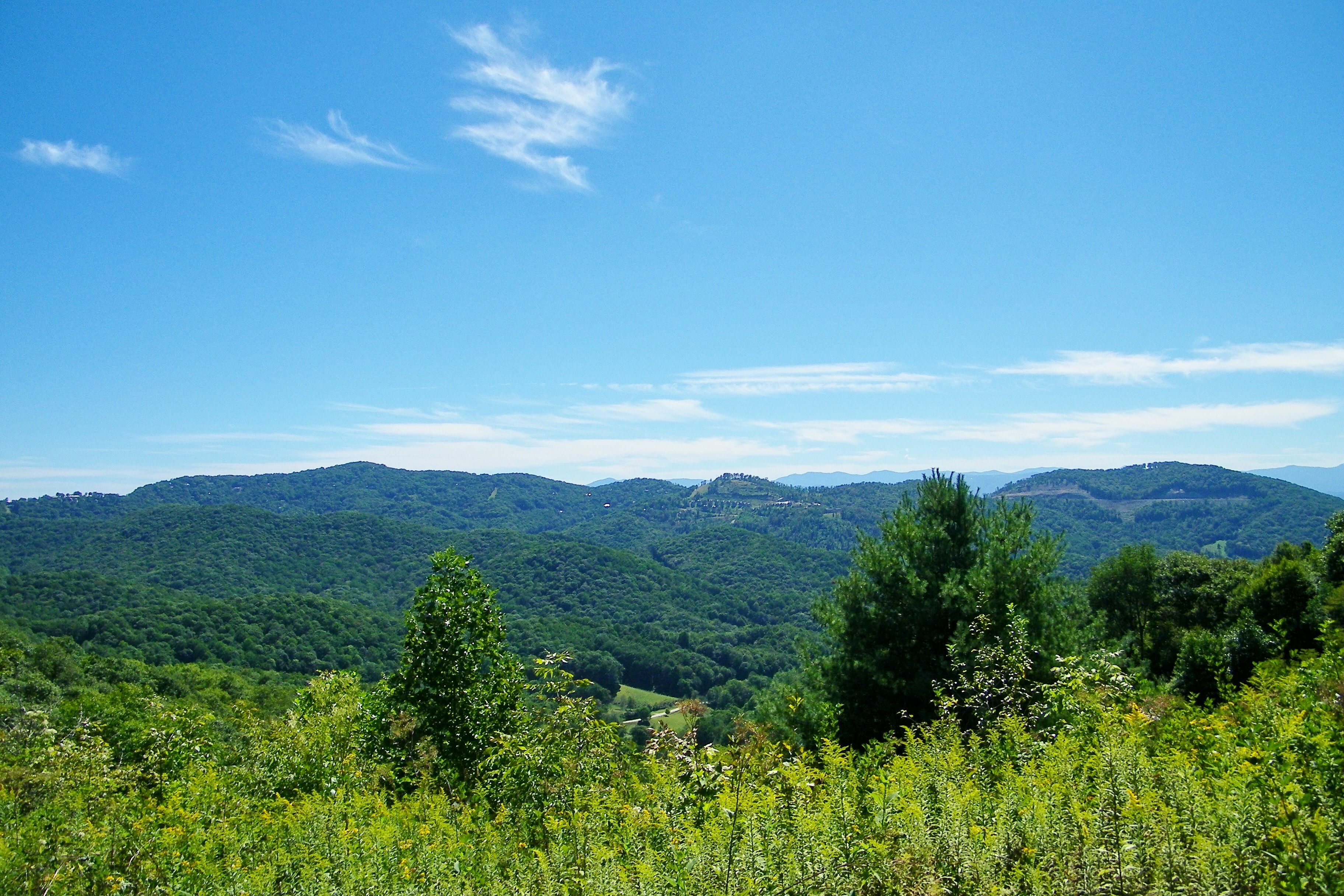
on the road outside Asheville, NC
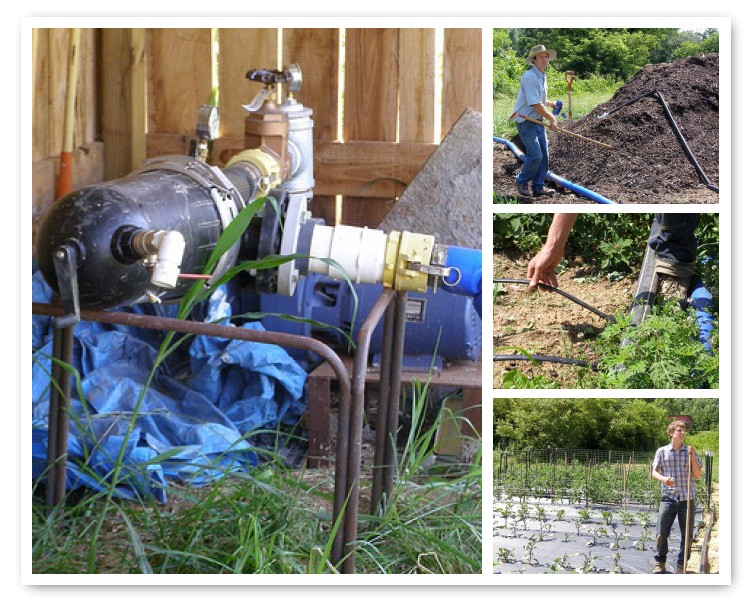
Water, Soil, Seed, Work = Vegetables!
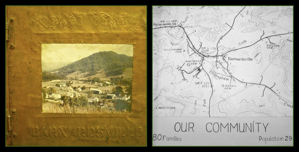
Barnardsville, NC, 1959

Rainbow after Appalachian Mountain Thunderstorm
2014-05-14 19.46.05

MarsHillUniv_SL (29)

Silver-spotted Skipper
Topographic Map of Chandler Creek Rd, Mars Hill, NC, USA
Find elevation by address:

Places near Chandler Creek Rd, Mars Hill, NC, USA:
2057 Chandler Creek Rd
Chandler Creek Road
1257 Fred Holcombe Rd
105 Delda Ln
403 Fred Holcombe Rd
54 Sandy Ln
103 Granny Shepherd Rd
592 Susanna Cove Rd
131 Trillium Glen Dr
1190 Old Murray Rd
Alvins Fox Trail
Laurel Valley Road
123 Alvins Fox Trail
221 Clindon Cv
1511 California Creek Rd
1511 California Creek Rd
892 Old Murray Rd
1608 Jarvis Bridge Rd
2315 Puncheon Fork Rd
1570 Jarvis Bridge Rd
Recent Searches:
- Elevation of Congressional Dr, Stevensville, MD, USA
- Elevation of Bellview Rd, McLean, VA, USA
- Elevation of Stage Island Rd, Chatham, MA, USA
- Elevation of Shibuya Scramble Crossing, 21 Udagawacho, Shibuya City, Tokyo -, Japan
- Elevation of Jadagoniai, Kaunas District Municipality, Lithuania
- Elevation of Pagonija rock, Kranto 7-oji g. 8"N, Kaunas, Lithuania
- Elevation of Co Rd 87, Jamestown, CO, USA
- Elevation of Tenjo, Cundinamarca, Colombia
- Elevation of Côte-des-Neiges, Montreal, QC H4A 3J6, Canada
- Elevation of Bobcat Dr, Helena, MT, USA