Elevation of Chancellor Peak, Columbia-Shuswap A, BC V0A, Canada
Location: Canada > British Columbia > Field >
Longitude: -116.51
Latitude: 51.2233333
Elevation: 3212m / 10538feet
Barometric Pressure: 68KPa
Elevation Map:
Satellite Map:
Related Photos:

View from Takakkaw Falls
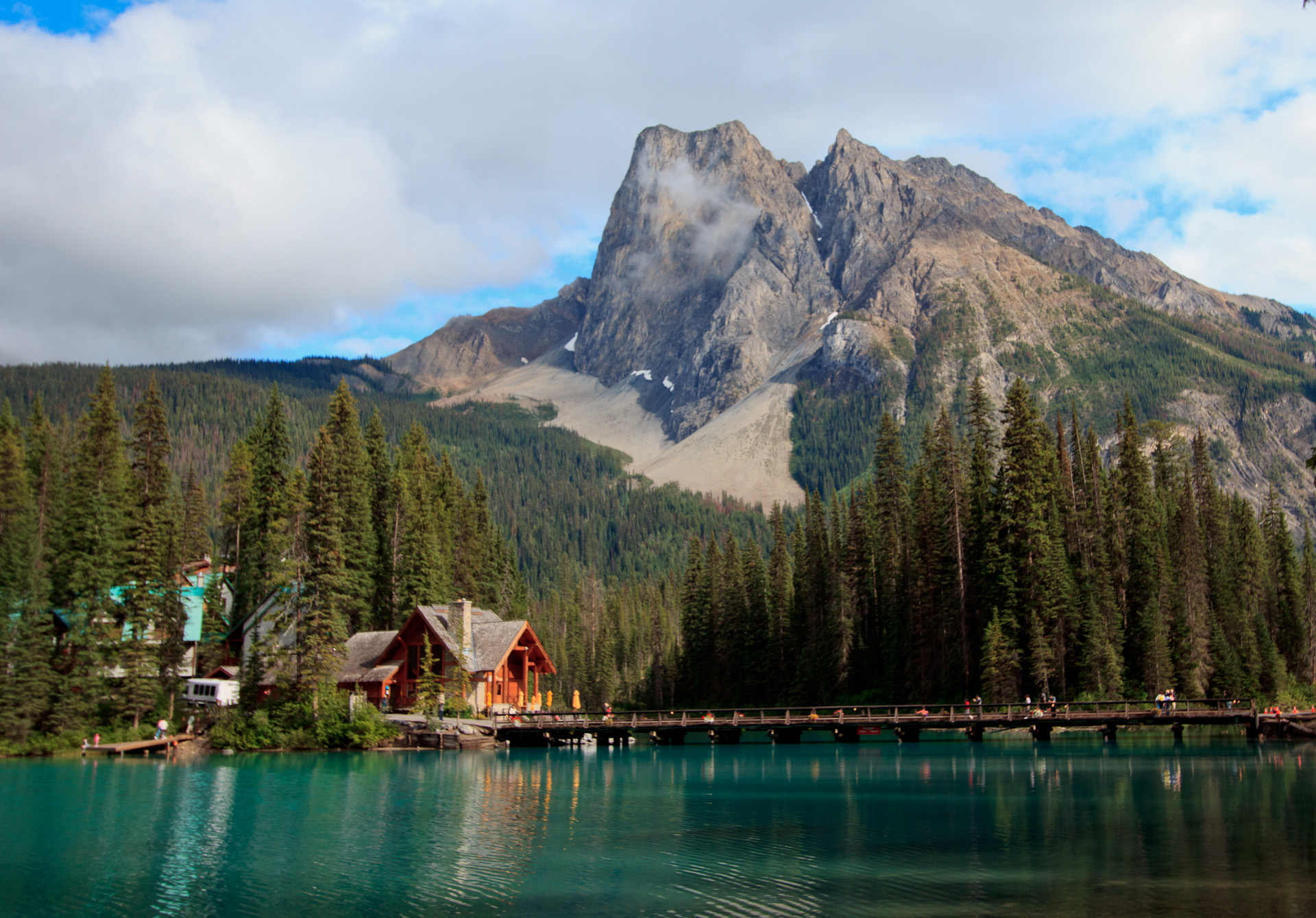
Emerald Lake Lodge
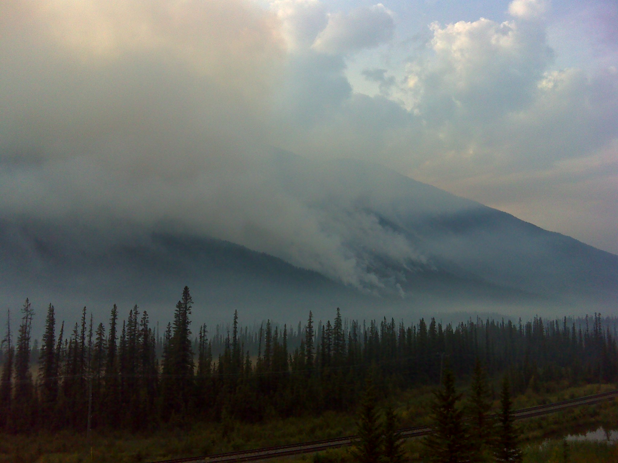
r.73.zoom.for.trees.on.fire
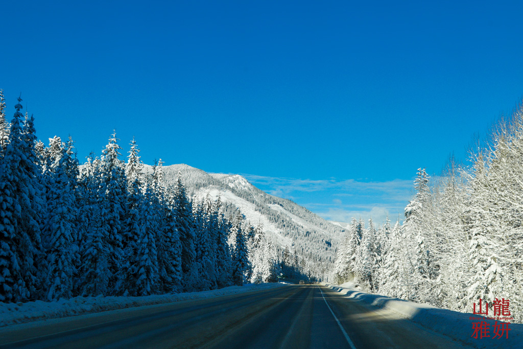
Driving in a Winter Wonderland
Topographic Map of Chancellor Peak, Columbia-Shuswap A, BC V0A, Canada
Find elevation by address:

Places near Chancellor Peak, Columbia-Shuswap A, BC V0A, Canada:
Butwell Peak
Mount Ennis
Garnet Mountain
Allan Peak
Hanbury Peak
Mount Hurd
Martins Peak
Goodsir North Tower
Mount Goodsir
Zinc Mountain
Mount Owen
Sentry Peak
Coral Mountain
Quinn Peak
Mount Duchesnay
Tower Peak
Bicarbonate Se5
Mount Dennis
Bicarbonate Se3
Mckeeman Peak
Recent Searches:
- Elevation of Corso Fratelli Cairoli, 35, Macerata MC, Italy
- Elevation of Tallevast Rd, Sarasota, FL, USA
- Elevation of 4th St E, Sonoma, CA, USA
- Elevation of Black Hollow Rd, Pennsdale, PA, USA
- Elevation of Oakland Ave, Williamsport, PA, USA
- Elevation of Pedrógão Grande, Portugal
- Elevation of Klee Dr, Martinsburg, WV, USA
- Elevation of Via Roma, Pieranica CR, Italy
- Elevation of Tavkvetili Mountain, Georgia
- Elevation of Hartfords Bluff Cir, Mt Pleasant, SC, USA