Elevation of Chambersburg Township, IL, USA
Location: United States > Illinois > Pike County >
Longitude: -90.658333
Latitude: 39.7942962
Elevation: 148m / 486feet
Barometric Pressure: 100KPa
Elevation Map:
Satellite Map:
Related Photos:
Yes, I Have Seen The Rain (Explored)

D31 working Bluffs - Pt.2
NS #904 at Valley City - Pt. 4
Great-tailed Grackle

NS 5042 Roster Shot at Bluffs
Great-tailed Grackle
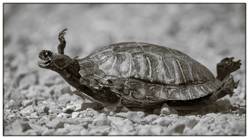
Yertle the Turtle at Meredosia National Wildlife Refuge

Frank's Stub Job
And call to you across the sky
Shovin' into the Plant

High Hood Silhouette
Topographic Map of Chambersburg Township, IL, USA
Find elevation by address:

Places in Chambersburg Township, IL, USA:
Places near Chambersburg Township, IL, USA:
Columbia St, Chambersburg, IL, USA
Perry Township
Valley City
E, Griggsville, IL, USA
W Maine St, Perry, IL, USA
Perry
Flint Township
Meredosia
515 N Union St
Griggsville
Elkhorn Township
Griggsville Township
County Rd N, Versailles, IL, USA
County Rd N, Mt Sterling, IL, USA
1374 Il-100
Brown County
Bloomfield
Mount Sterling Township
New Salem Township
New Salem
Recent Searches:
- Elevation of Brownsdale Rd, Renfrew, PA, USA
- Elevation of Corcoran Ln, Suffolk, VA, USA
- Elevation of Mamala II, Sariaya, Quezon, Philippines
- Elevation of Sarangdanda, Nepal
- Elevation of 7 Waterfall Way, Tomball, TX, USA
- Elevation of SW 57th Ave, Portland, OR, USA
- Elevation of Crocker Dr, Vacaville, CA, USA
- Elevation of Pu Ngaol Community Meeting Hall, HWHM+3X7, Krong Saen Monourom, Cambodia
- Elevation of Royal Ontario Museum, Queens Park, Toronto, ON M5S 2C6, Canada
- Elevation of Groblershoop, South Africa