Elevation of Chamberlin Dr, Denison, IA, USA
Location: United States > Iowa > Crawford County > Denison > Denison >
Longitude: -95.371844
Latitude: 42.0025579
Elevation: 360m / 1181feet
Barometric Pressure: 97KPa
Elevation Map:
Satellite Map:
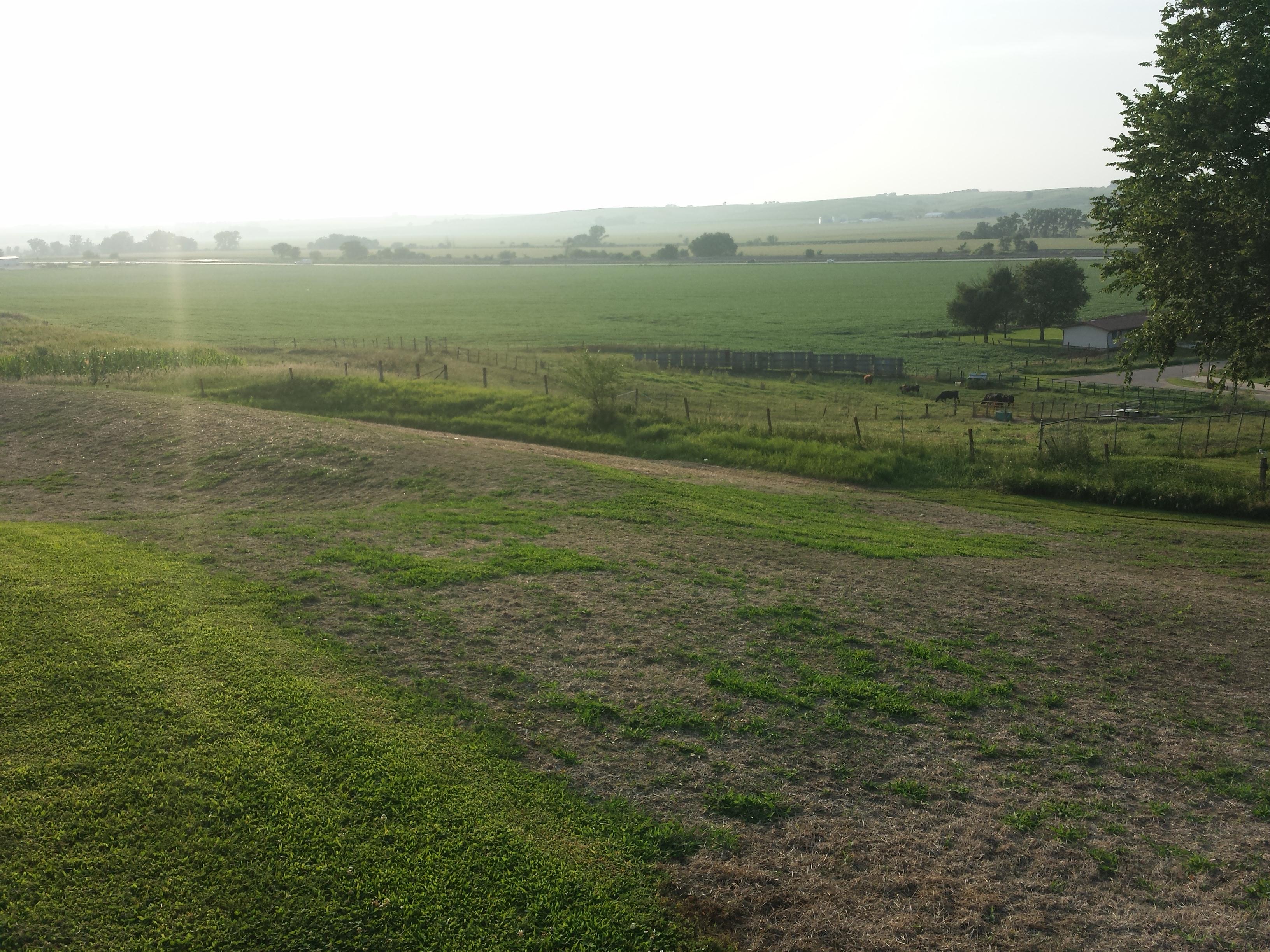
Related Photos:

Omelette's eyes view.
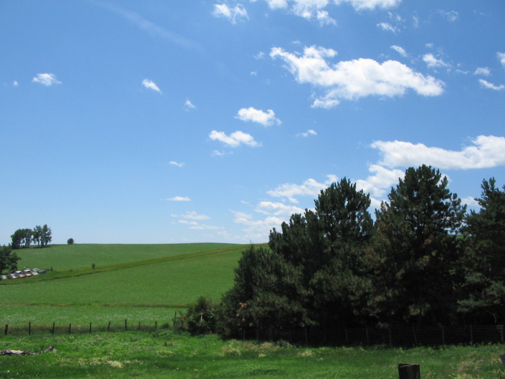
You can't beat the view
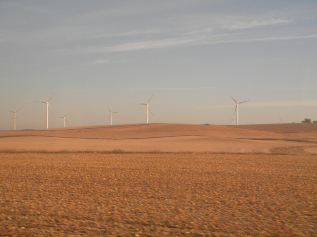
Iowa: Wind Farm
Dow City IA

Denison, IA (112 of 238)

Denison, IA (113 of 238)

Denison, IA (107 of 238)

Denison, IA (106 of 238)

Denison, IA (118 of 238)

Denison, IA (105 of 238)

Denison, IA (109 of 238)

Denison, IA (103 of 238)

Denison, IA (110 of 238)

Denison, IA (96 of 238)

Denison, IA (102 of 238)

Denison, IA (104 of 238)

Denison, IA (100 of 238)

Denison, IA (119 of 238)

Denison, IA (99 of 238)

Denison, IA (115 of 238)

Denison, IA (97 of 238)

Denison, IA (197 of 238)

Denison, IA (198 of 238)
Topographic Map of Chamberlin Dr, Denison, IA, USA
Find elevation by address:

Places near Chamberlin Dr, Denison, IA, USA:
Denison
1202 Broadway
1517 1st Ave S
Denison
Crawford County
Defiance
Main St, Earling, IA, USA
Union
Earling
Main St, Earling, IA, USA
Westphalia
Colony St, Westphalia, IA, USA
Westphalia
Douglas
Shelby County
Shelby County
Shelby County
Shelby County
Shelby County
Shelby County
Recent Searches:
- Elevation of Elwyn Dr, Roanoke Rapids, NC, USA
- Elevation of Congressional Dr, Stevensville, MD, USA
- Elevation of Bellview Rd, McLean, VA, USA
- Elevation of Stage Island Rd, Chatham, MA, USA
- Elevation of Shibuya Scramble Crossing, 21 Udagawacho, Shibuya City, Tokyo -, Japan
- Elevation of Jadagoniai, Kaunas District Municipality, Lithuania
- Elevation of Pagonija rock, Kranto 7-oji g. 8"N, Kaunas, Lithuania
- Elevation of Co Rd 87, Jamestown, CO, USA
- Elevation of Tenjo, Cundinamarca, Colombia
- Elevation of Côte-des-Neiges, Montreal, QC H4A 3J6, Canada