Elevation of Chalet Apartments, W Blue Starr Dr, Claremore, OK, USA
Location: United States > Oklahoma > Rogers County > Claremore >
Longitude: -95.624857
Latitude: 36.322589
Elevation: 186m / 610feet
Barometric Pressure: 99KPa
Elevation Map:
Satellite Map:
Related Photos:

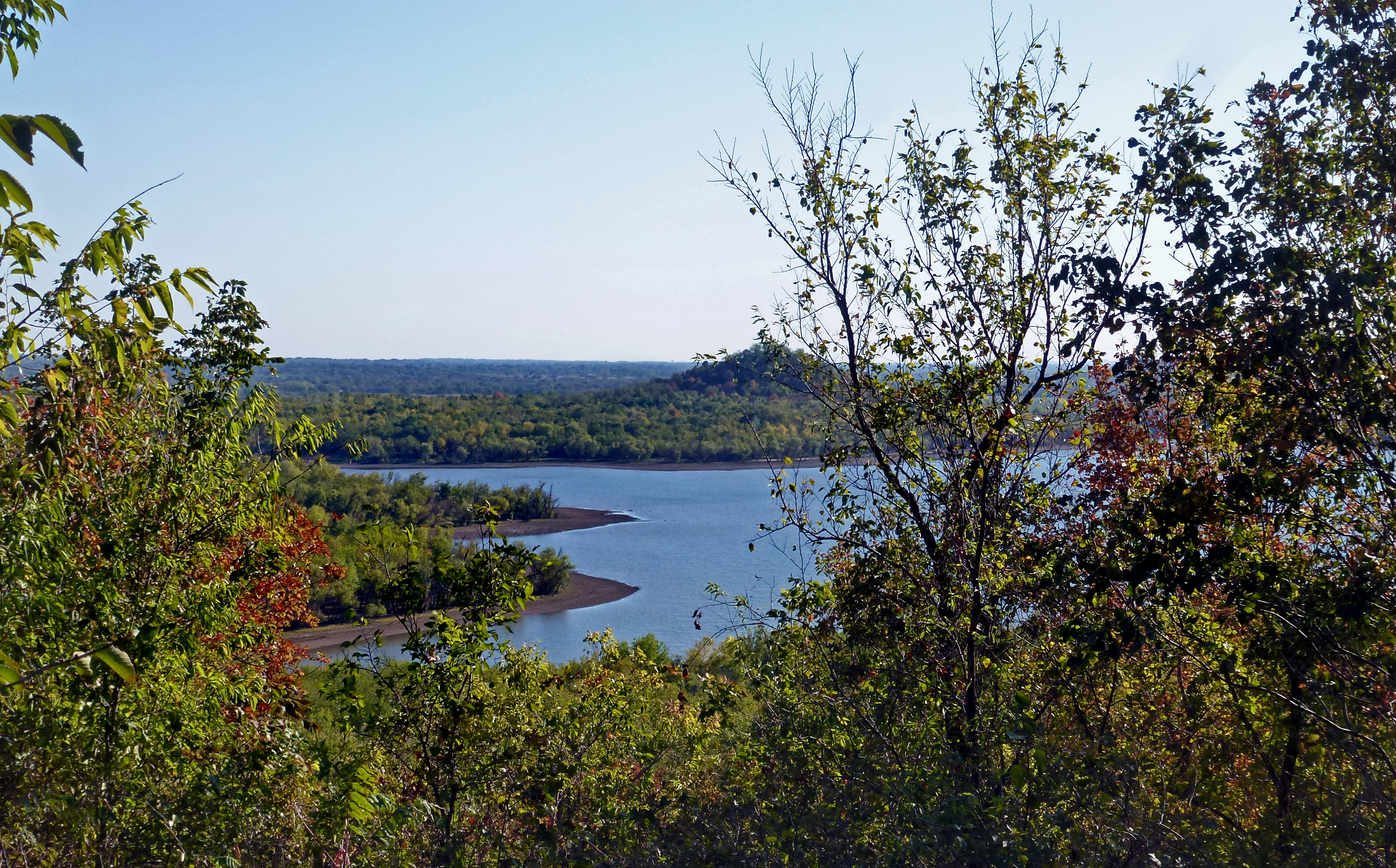
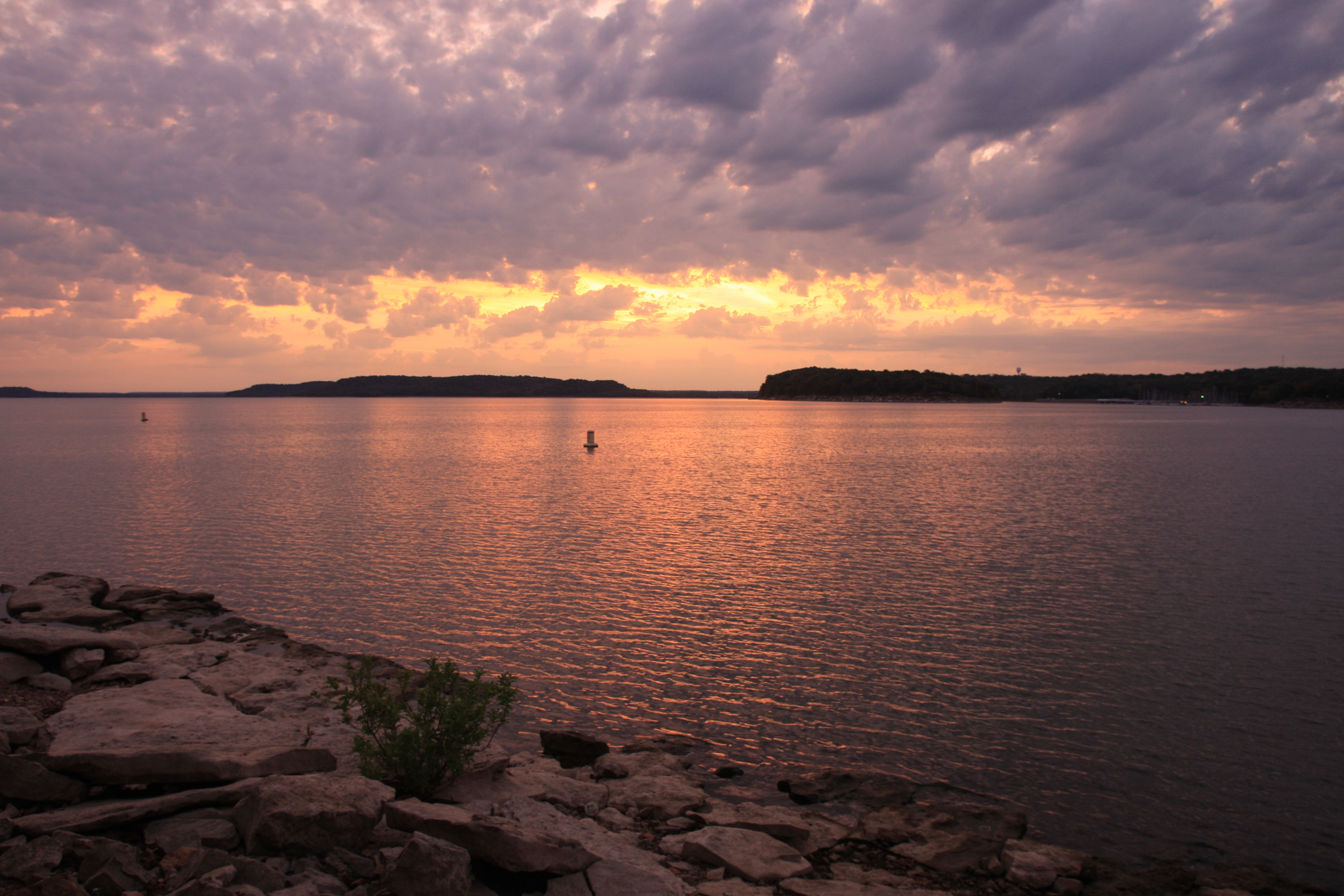
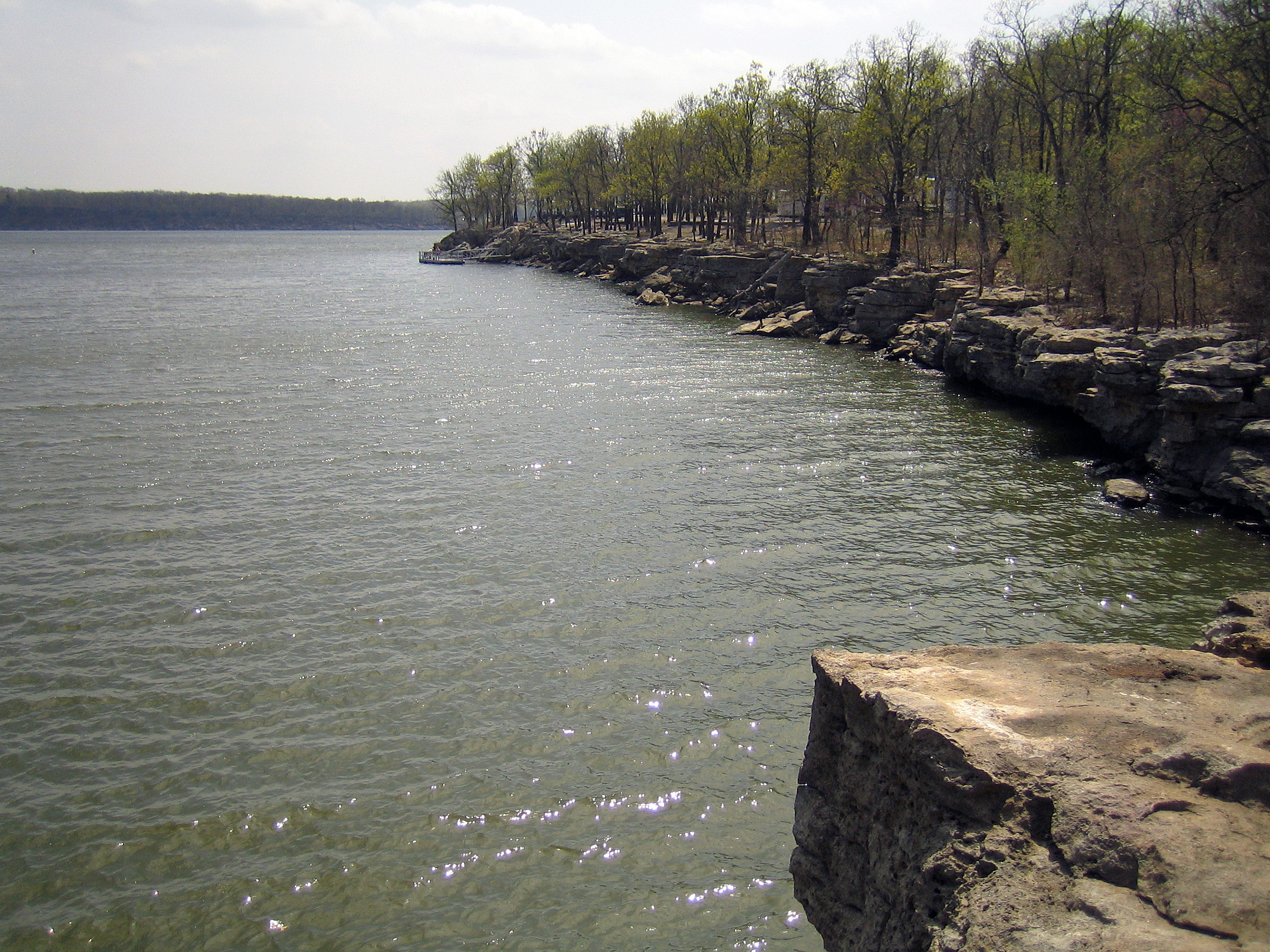
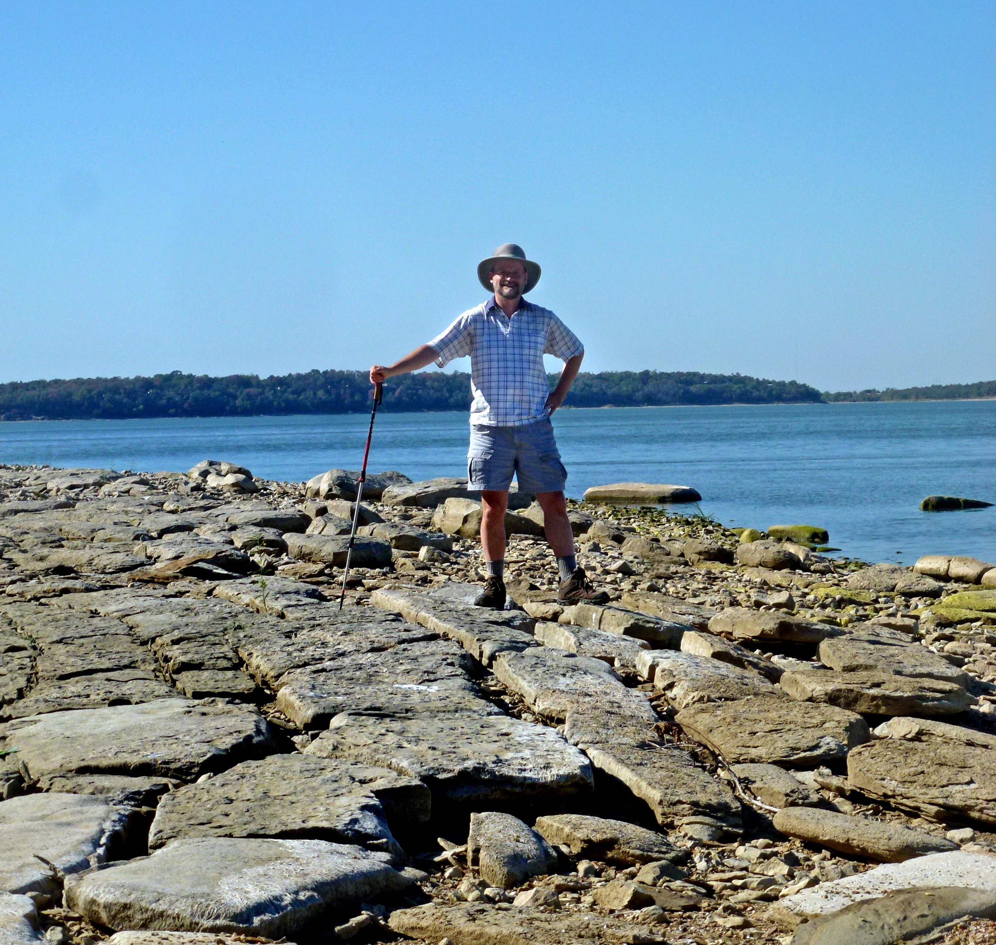
Road Trip: Blue Creek, Lake Oologah

Road Trip: Blue Creek, Lake Oologah

Road Trip: Blue Creek, Lake Oologah

Road Trip: Blue Creek, Lake Oologah
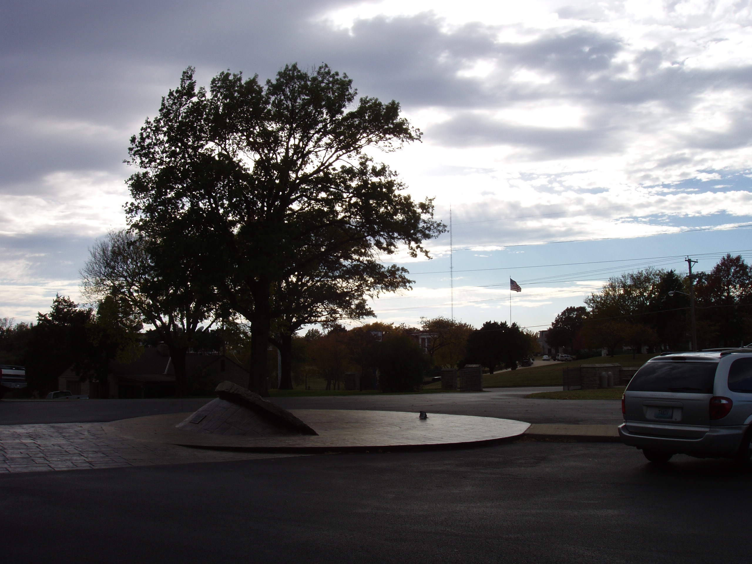
view from memorial to RSU
Road Trip: Blue Creek, Lake Oologah
Room with a view
Talbert Hilltop View
View from Kight Hill
Roses in January: 4/31 (History)

The Ace Waits For No Man
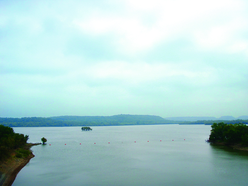
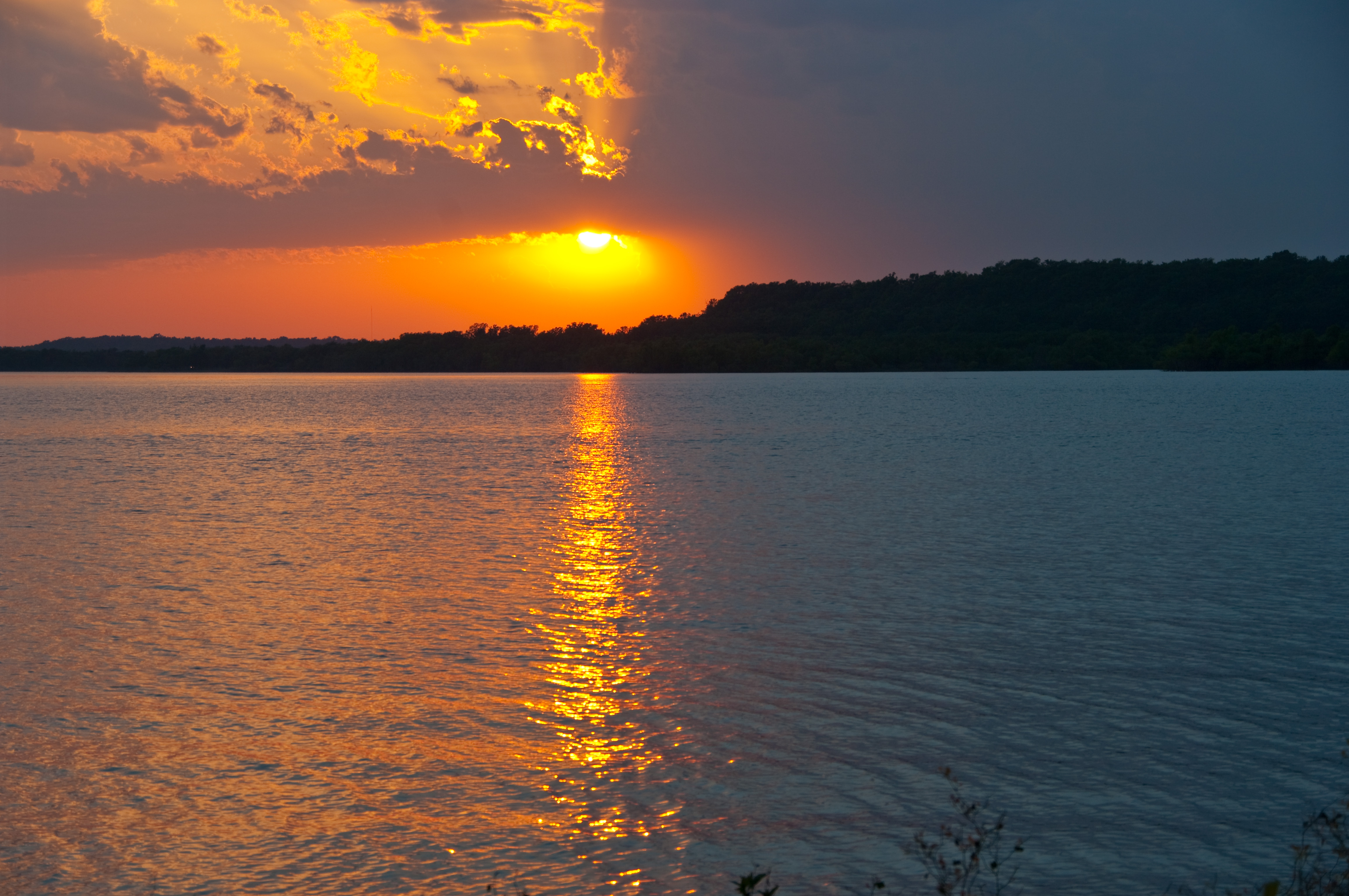
Lake Oolagah, OK
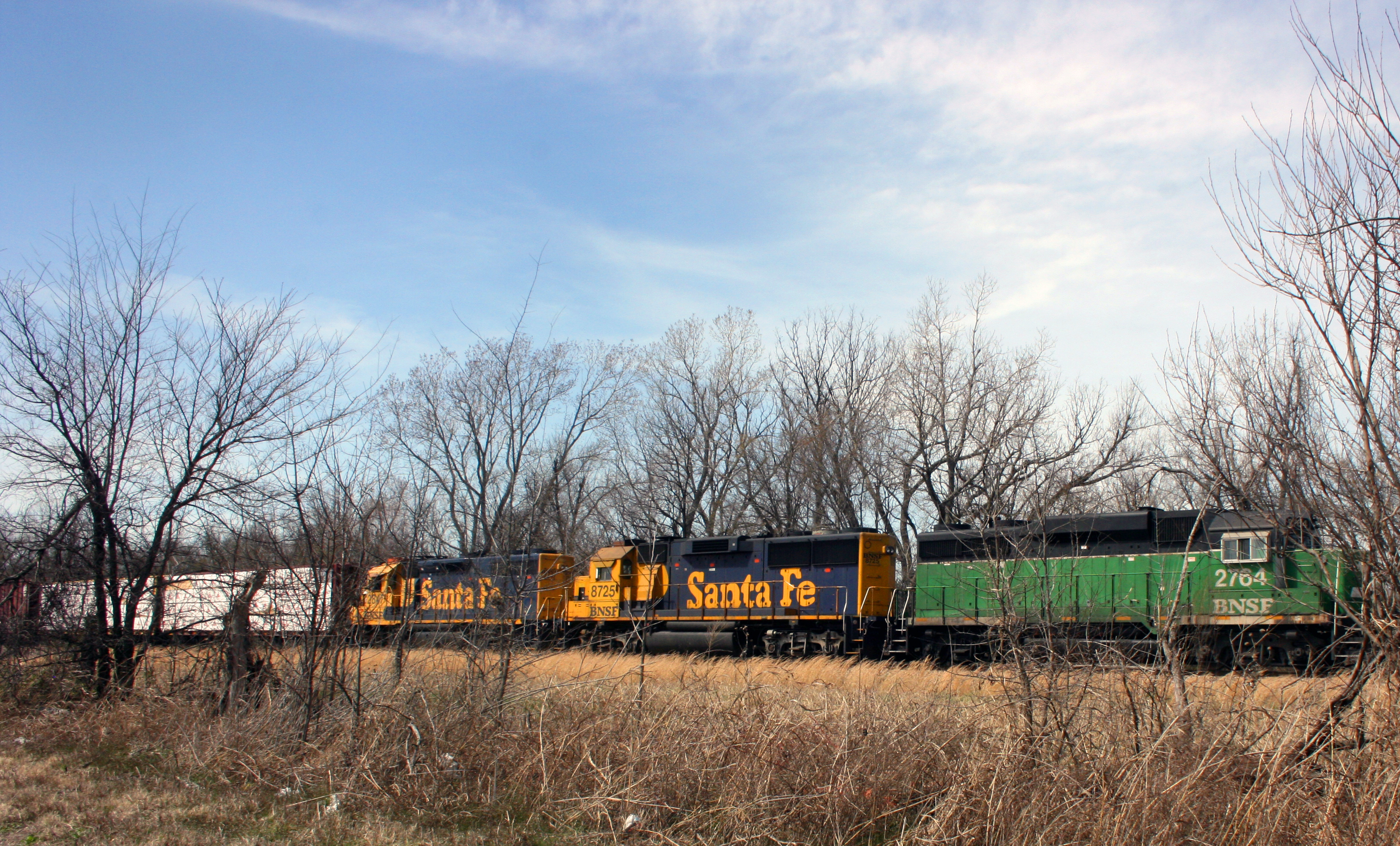
bnsf 1
Oklahoma-11

Claremore Lake
Hawthorn Bluff Campground

Claremore Lake

Newspaper Columnist
Oklahoma Pics
Tree Pool
Meador at Oologah Lake
Topographic Map of Chalet Apartments, W Blue Starr Dr, Claremore, OK, USA
Find elevation by address:

Places near Chalet Apartments, W Blue Starr Dr, Claremore, OK, USA:
Sen-fields Anita
Claremore
1205 W Cedar St
Piercing Pagoda
La Quinta Inn & Suites Claremore
1801 S Missouri Ave
Rogers County Pawn
East 20 Automotive
20224 S 4180 Rd
16215 S 4170 Rd
20124 S 4190 Rd
17295 E 480 Rd
Foyil
Andy Payne Blvd, Claremore, OK, USA
OK-20, Claremore, OK, USA
Bruce Oakley's Port 33
Northeast Tech - Pryor Campus
Inola City Hall
Inola
Abbott Kennels/abbott Labradors
Recent Searches:
- Elevation of Royal Ontario Museum, Queens Park, Toronto, ON M5S 2C6, Canada
- Elevation of Groblershoop, South Africa
- Elevation of Power Generation Enterprises | Industrial Diesel Generators, Oak Ave, Canyon Country, CA, USA
- Elevation of Chesaw Rd, Oroville, WA, USA
- Elevation of N, Mt Pleasant, UT, USA
- Elevation of 6 Rue Jules Ferry, Beausoleil, France
- Elevation of Sattva Horizon, 4JC6+G9P, Vinayak Nagar, Kattigenahalli, Bengaluru, Karnataka, India
- Elevation of Great Brook Sports, Gold Star Hwy, Groton, CT, USA
- Elevation of 10 Mountain Laurels Dr, Nashua, NH, USA
- Elevation of 16 Gilboa Ln, Nashua, NH, USA