Elevation of Chafodi Tarf Ainghol, Maharashtra, India
Location: India > Maharashtra > Kolhapur >
Longitude: 74.0358876
Latitude: 16.3009675
Elevation: 801m / 2628feet
Barometric Pressure: 92KPa
Elevation Map:
Satellite Map:
Related Photos:

5170

5131

5146

5132

Lecture on National Science Day at Bidri, kagal, Kolhapur for Sr. & Jr college student & teachers. All Lectures since 26-02-2016 are organised by Marathi Vidnyan Parishad, Gadhinglaj
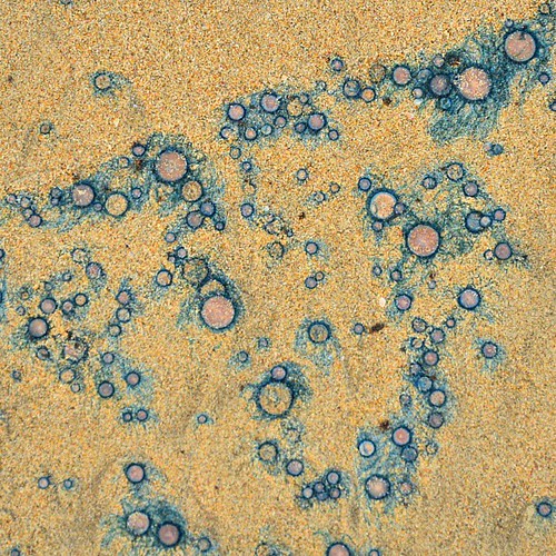
Pattern on a seashore #aquaticlife#corels#unknown#id#seashore#malwan#maharashtra#aquaticplants#patterns#naturalbeauty#nikon#d7000#16-85#eveningwalk#familytrip#beautiful#neverseenitbefore#bluewater#blueshades#sand
Topographic Map of Chafodi Tarf Ainghol, Maharashtra, India
Find elevation by address:

Places near Chafodi Tarf Ainghol, Maharashtra, India:
Phaye
Adoli
Hedvade
Khedge
Yerandpe
Devakewadi
Palewadi
Sawarde
Navaraswadi
Kumbharwadi
Bhativade
Shengaon
Karadwadi
Nitawade
Vasnoli
Shri.r.v.desai Vidyalaya,minche Khurd
Akurde
Madur
Pacharde
Lingachiwadi
Recent Searches:
- Elevation of 72-31 Metropolitan Ave, Middle Village, NY, USA
- Elevation of 76 Metropolitan Ave, Brooklyn, NY, USA
- Elevation of Alisal Rd, Solvang, CA, USA
- Elevation of Vista Blvd, Sparks, NV, USA
- Elevation of 15th Ave SE, St. Petersburg, FL, USA
- Elevation of Beall Road, Beall Rd, Florida, USA
- Elevation of Leguwa, Nepal
- Elevation of County Rd, Enterprise, AL, USA
- Elevation of Kolchuginsky District, Vladimir Oblast, Russia
- Elevation of Shustino, Vladimir Oblast, Russia