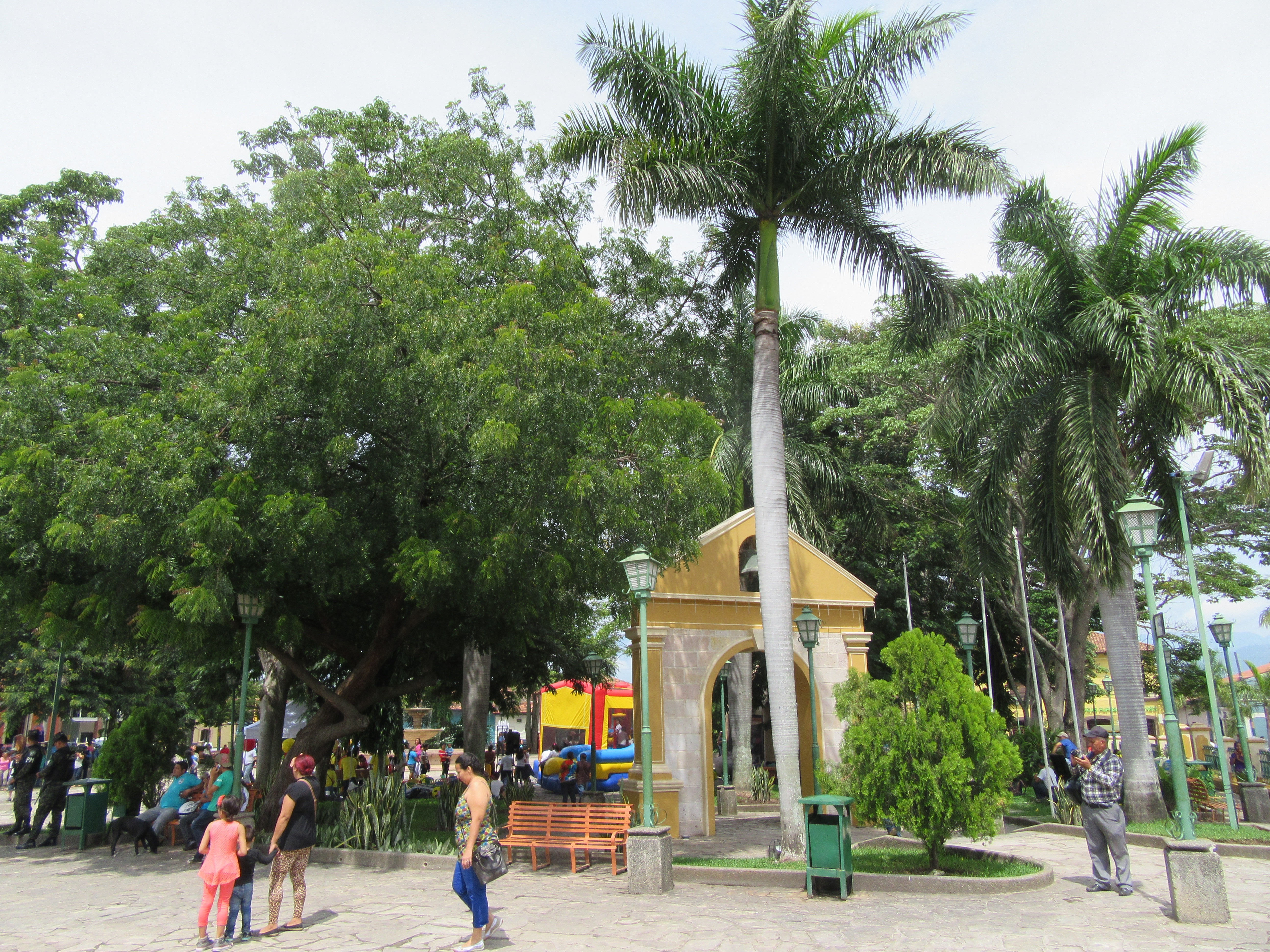
Elevation of Centro de Entrenamiento de Desarrollo Agrícola - CEDA, Honduras
Location: Honduras > Comayagua Department >
Longitude: -87.686085
Latitude: 14.4599277
Elevation: 580m / 1903feet
Barometric Pressure: 95KPa
Elevation Map:
Satellite Map:
Related Photos:

2013-07-16 17.04.11

Central America - 126

Central America - 127

Central America - 128

Central America - 130
Central America - 129

Central America - 131
Central America - 132

Central America - 133

Central America - 138

Central America - 137

Central America - 141

Central America - 140

July 2019 - DI Pets

Jenifer Escoto

Jenifer Escoto

Jenifer Escoto

Jenifer Escoto

Jenifer Escoto

Mister 2017

Mister 2017

Mister 2017
Topographic Map of Centro de Entrenamiento de Desarrollo Agrícola - CEDA, Honduras
Find elevation by address:

Places near Centro de Entrenamiento de Desarrollo Agrícola - CEDA, Honduras:
Comayagua
Soto Cano Air Base
El Volcan
Palmerola
Comayagua Department
La Paz
La Paz
Siguatepeque
Calanterique
Siguatepeque
Cascada La Estanzuela
Tamara
Marcala Honduras
El Chiflador
La Leona
Cristo Del Picacho
Calle Buena Vista, Tegucigalpa, Honduras
Estatua De Manuel Bonilla
Tiloarque
Embajada De Estados Unidos Tegucigalpa
Recent Searches:
- Elevation of Shibuya Scramble Crossing, 21 Udagawacho, Shibuya City, Tokyo -, Japan
- Elevation of Jadagoniai, Kaunas District Municipality, Lithuania
- Elevation of Pagonija rock, Kranto 7-oji g. 8"N, Kaunas, Lithuania
- Elevation of Co Rd 87, Jamestown, CO, USA
- Elevation of Tenjo, Cundinamarca, Colombia
- Elevation of Côte-des-Neiges, Montreal, QC H4A 3J6, Canada
- Elevation of Bobcat Dr, Helena, MT, USA
- Elevation of Zu den Ihlowbergen, Althüttendorf, Germany
- Elevation of Badaber, Peshawar, Khyber Pakhtunkhwa, Pakistan
- Elevation of SE Heron Loop, Lincoln City, OR, USA