Elevation of Centre, KS, USA
Location: United States > Kansas > Marion County >
Longitude: -96.953122
Latitude: 38.3525673
Elevation: 429m / 1407feet
Barometric Pressure: 96KPa
Elevation Map:
Satellite Map:
Related Photos:
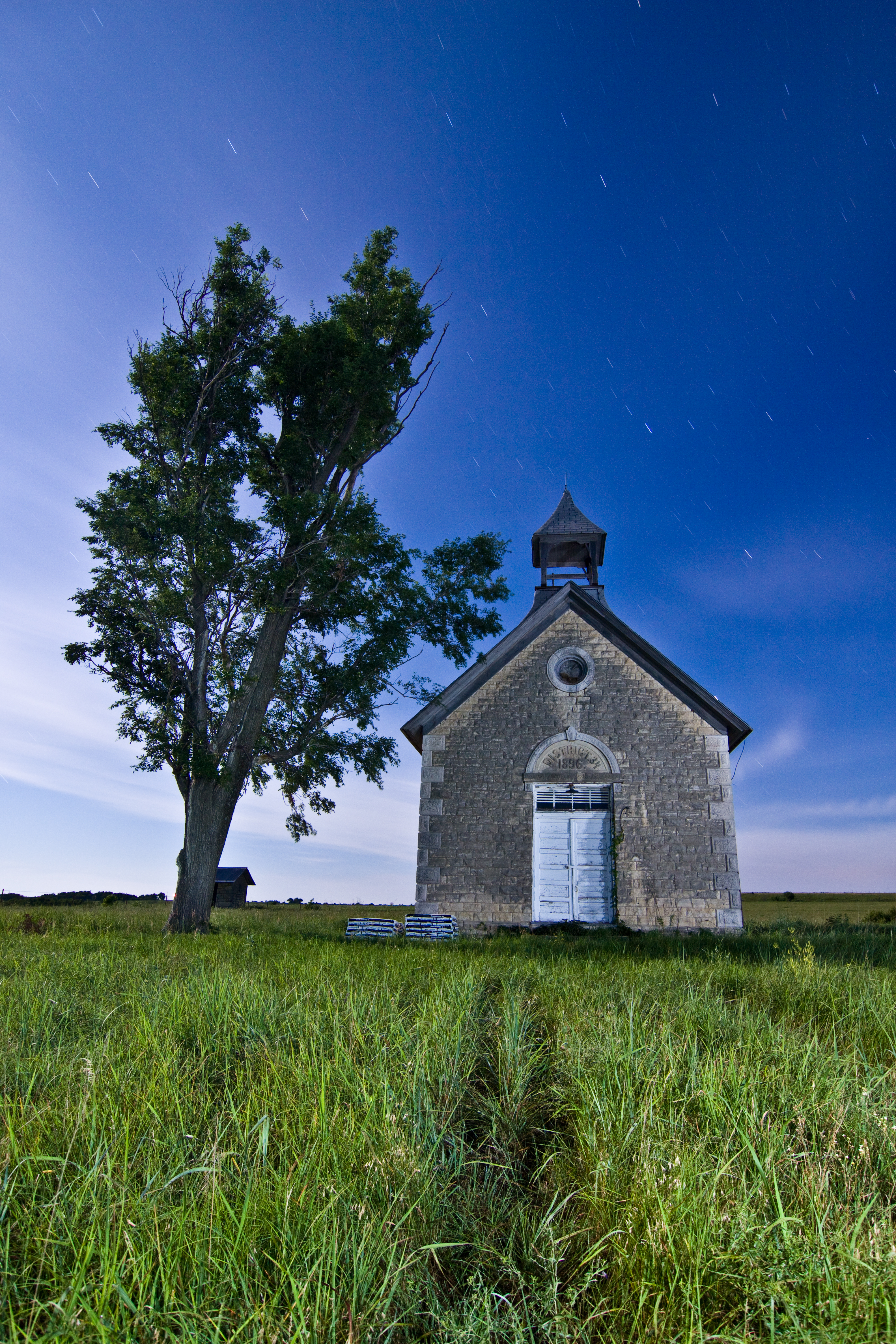
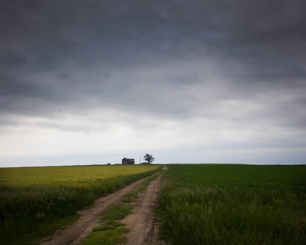
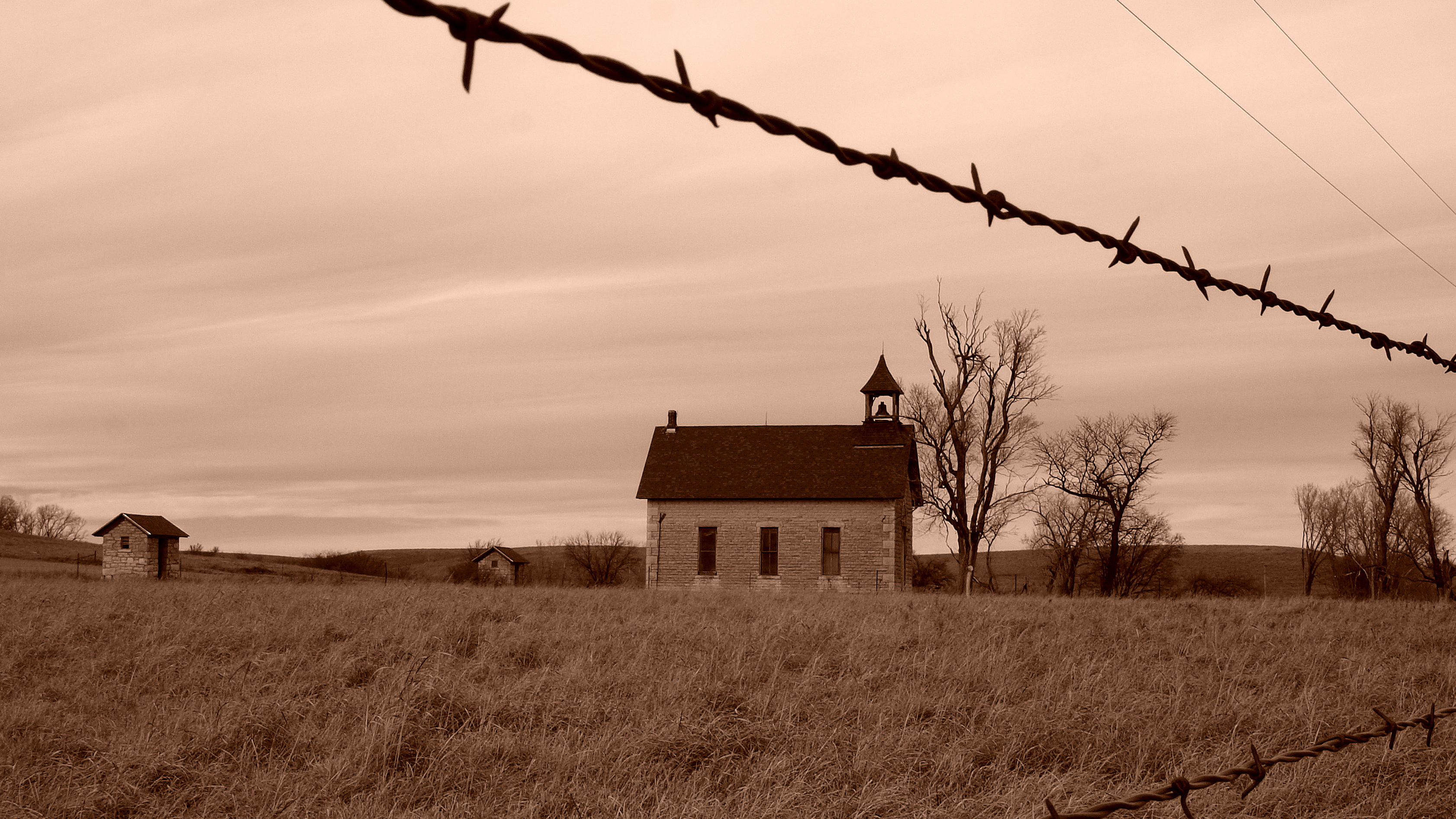
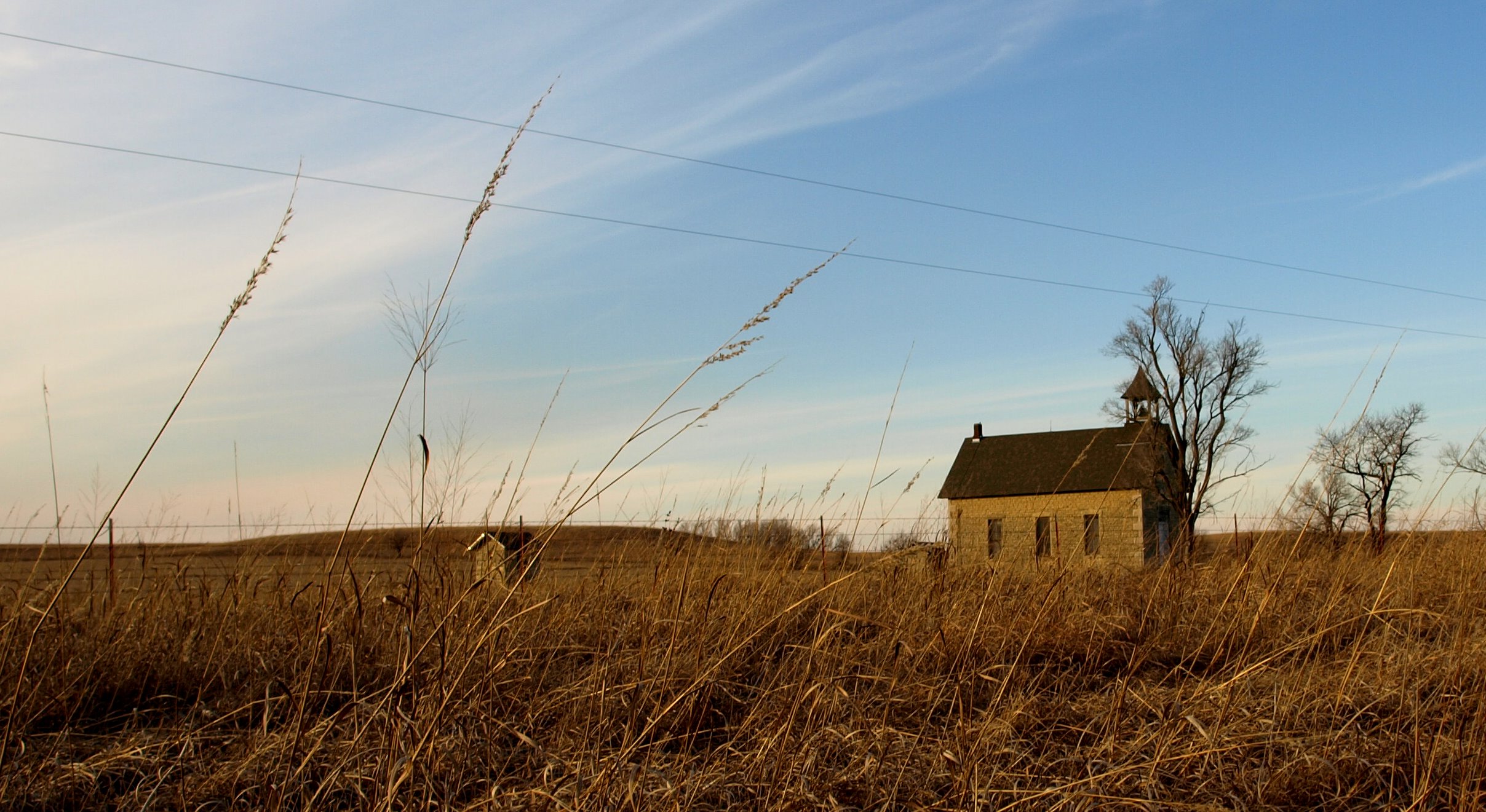
Little School House on the Prairie
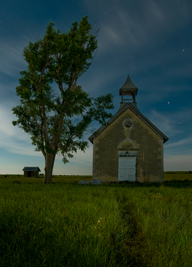
Cedar Point School

Concrete Rainbow Arch Bridge. Marion, KS
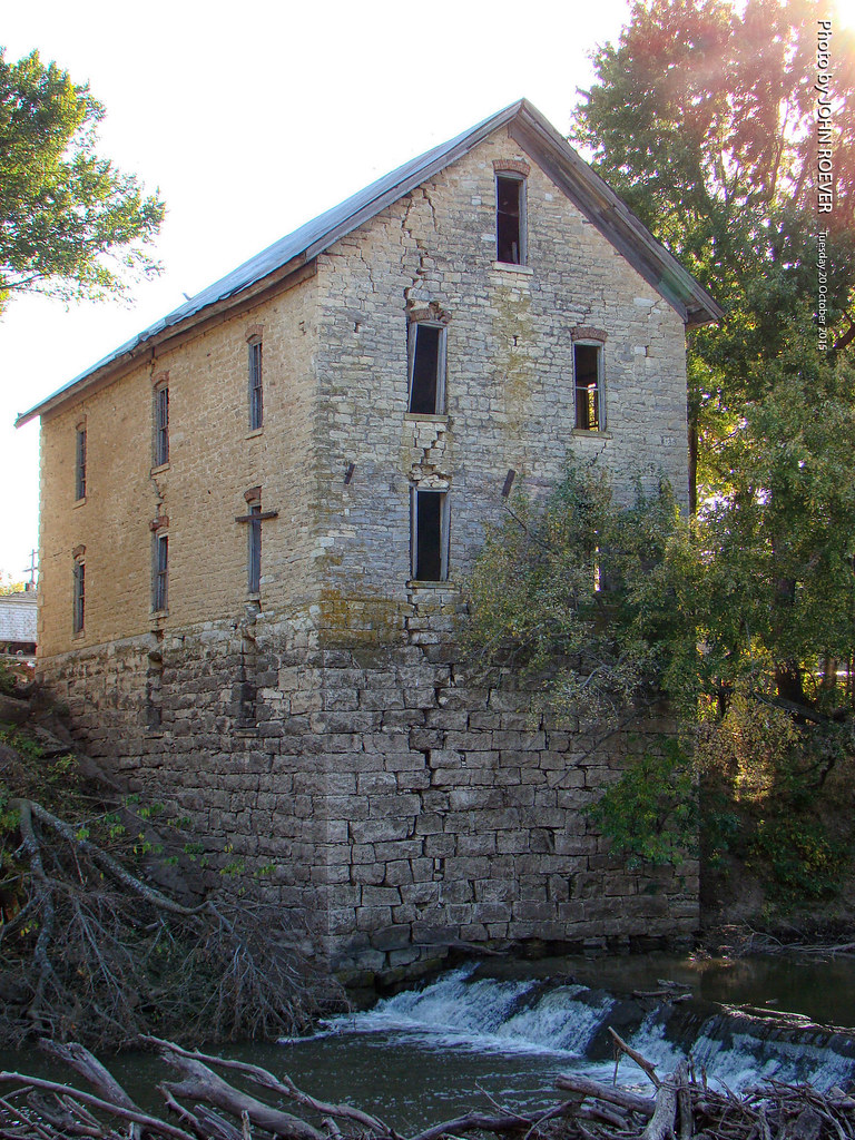
Cedar Point Mill, 20 Oct 2015
All Aboard
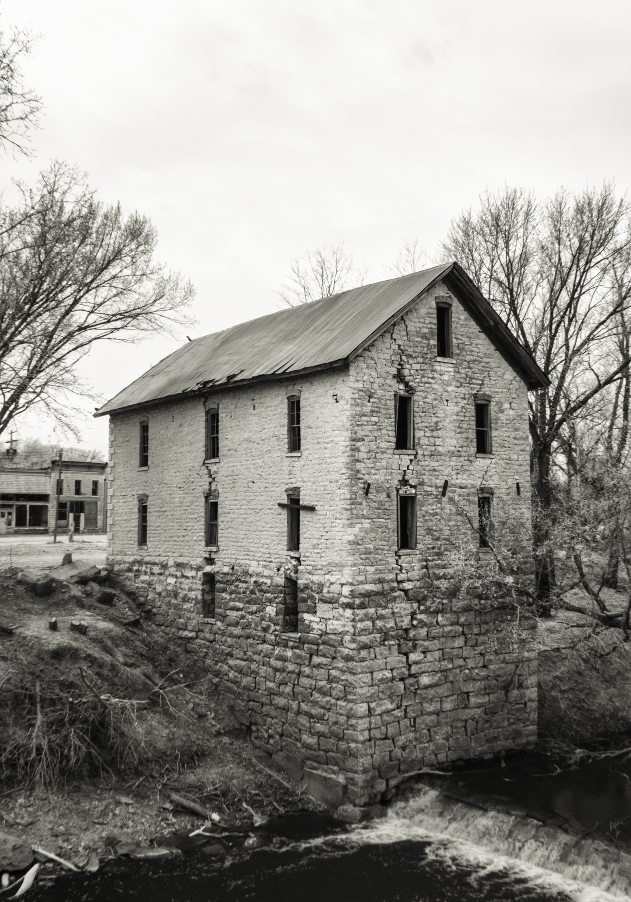
Old Mill at Cedar Point, 3/4 View

Cedar Point Mill, Interior, 20 Oct 2015
wicked wind blowing

Road trip to Kansas

Marion Reservoir Sunset

Gulls at Sunset

Marion Reservoir Sunset
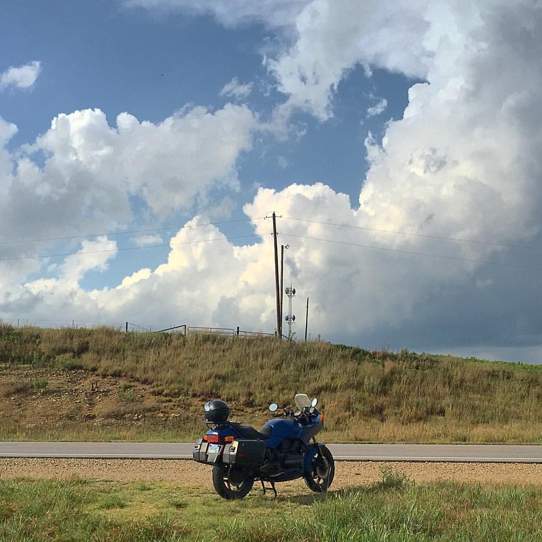
Moto in the Great Plains
362/365 December 28
District 34. 1896 ... E3_20150118_134457_1515_v05
Flint Hills Schoolhouse 2010-01-26 01
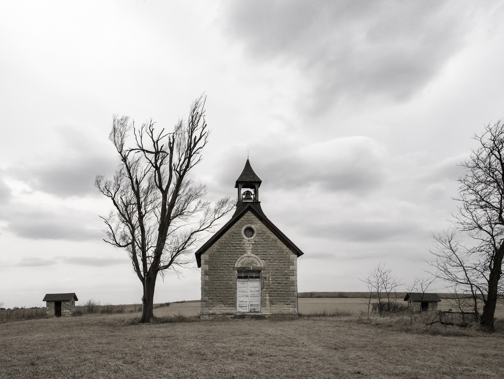
District 34 Schoolhouse
Topographic Map of Centre, KS, USA
Find elevation by address:

Places in Centre, KS, USA:
Places near Centre, KS, USA:
1051 E Lawrence St
Marion
416 E Main St
300 Santa Fe
Unicorn Rd, Lincolnville, KS, USA
W 7th St, Florence, KS, USA
Florence
Clear Creek
Kansas St, Lincolnville, KS, USA
Lincolnville
Clements
Milton
Burdick
8, KS, USA
Broadway St, Burns, KS, USA
Burns
Lyon
Ave, Ramona, KS, USA
Bb Ave, Burdick, KS, USA
Herington
Recent Searches:
- Elevation of 6 Rue Jules Ferry, Beausoleil, France
- Elevation of Sattva Horizon, 4JC6+G9P, Vinayak Nagar, Kattigenahalli, Bengaluru, Karnataka, India
- Elevation of Great Brook Sports, Gold Star Hwy, Groton, CT, USA
- Elevation of 10 Mountain Laurels Dr, Nashua, NH, USA
- Elevation of 16 Gilboa Ln, Nashua, NH, USA
- Elevation of Laurel Rd, Townsend, TN, USA
- Elevation of 3 Nestling Wood Dr, Long Valley, NJ, USA
- Elevation of Ilungu, Tanzania
- Elevation of Yellow Springs Road, Yellow Springs Rd, Chester Springs, PA, USA
- Elevation of Rēzekne Municipality, Latvia