Elevation of Centralia Alpha Rd, Onalaska, WA, USA
Location: United States > Washington > Lewis County > Onalaska >
Longitude: -122.68285
Latitude: 46.61508
Elevation: 241m / 791feet
Barometric Pressure: 98KPa
Elevation Map:
Satellite Map:
Related Photos:

The Stump - HDR

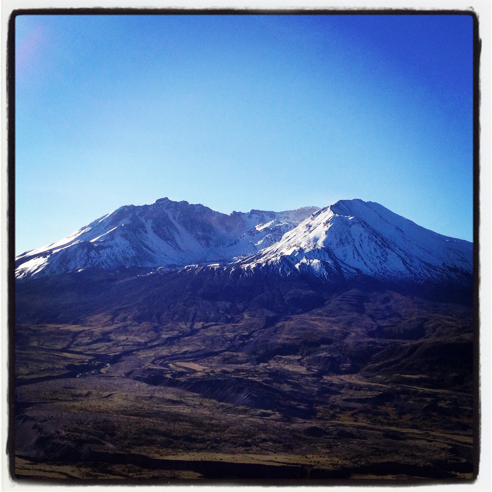
Mount Saint Helen's
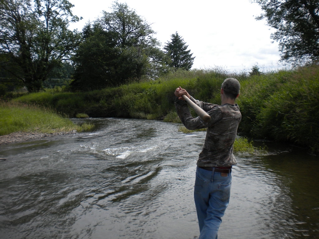
Fly Ball.... er.... Rock....

Rod and the view from Dan's house
This tree is at least 10 feet in diameter! Nature is incredible.

Photo Jul 31, 12 05 25 PM

#flowers #washington

Ike Kinswa State Park

Scotch Broom at Mayfield Lake
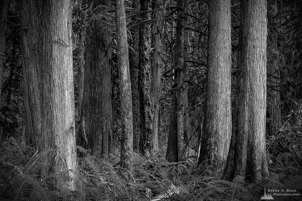
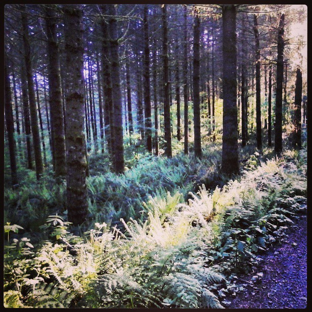
Cedar Forest, Lewis and Clark State Park, Washington, 2015
Green & Blue
Coldwater Lake hike
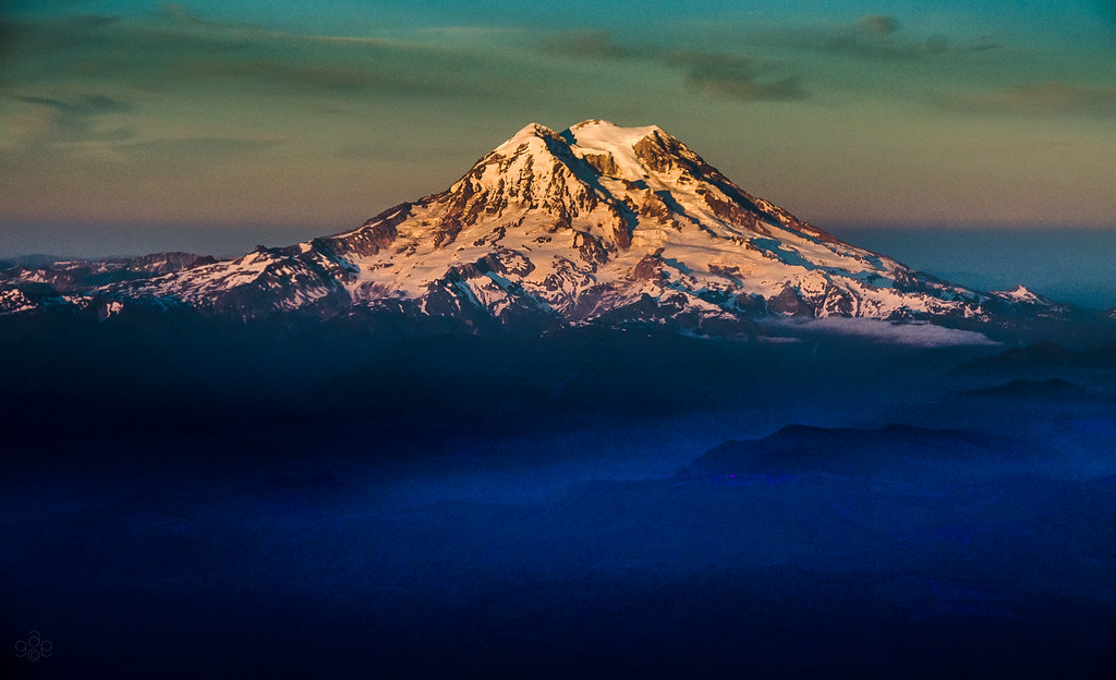
Mt. Rainier: on approach to Seattle

Sundown.
Sunset amongst the trees ... and birds ... and bugs ... and whatever is crashing though the undergrowth to my right!
Leaving green. Back to brown.
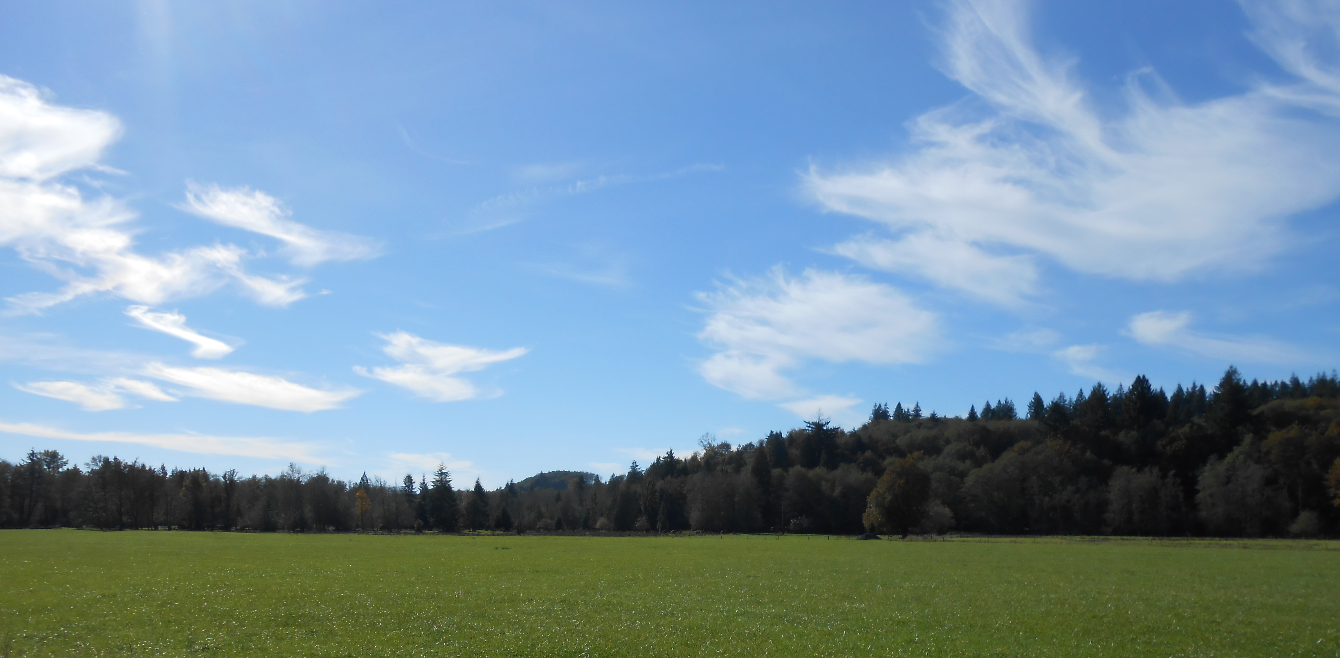
Blue Skies Smilin' At Me

Moonrise over Mount Saint Helens.

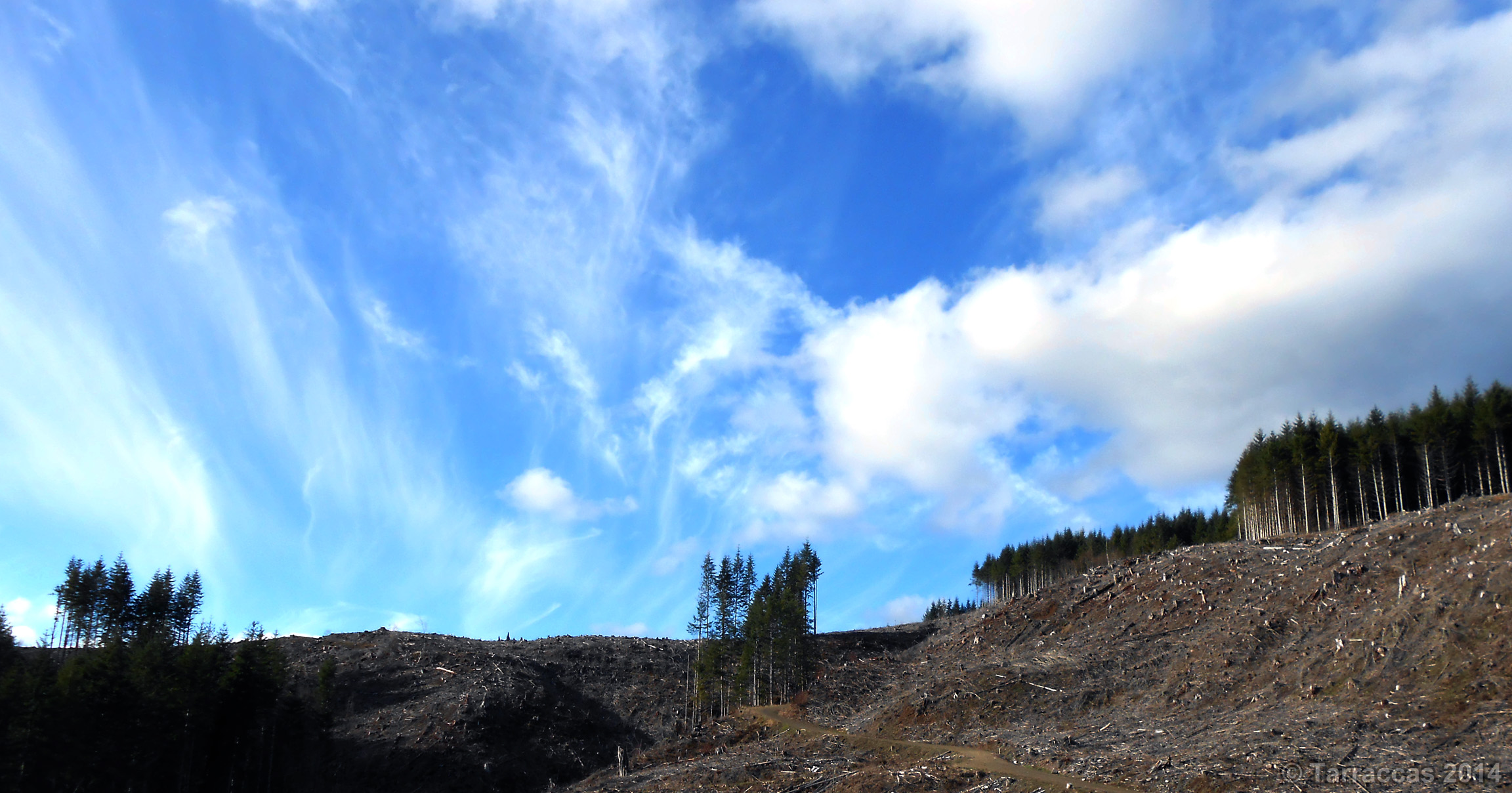
Sky tornados or something?
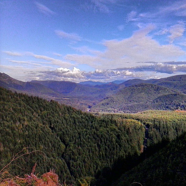
Bear Canyon in the fore. Bremer in the distance.

More like sick little clouds. WTF?
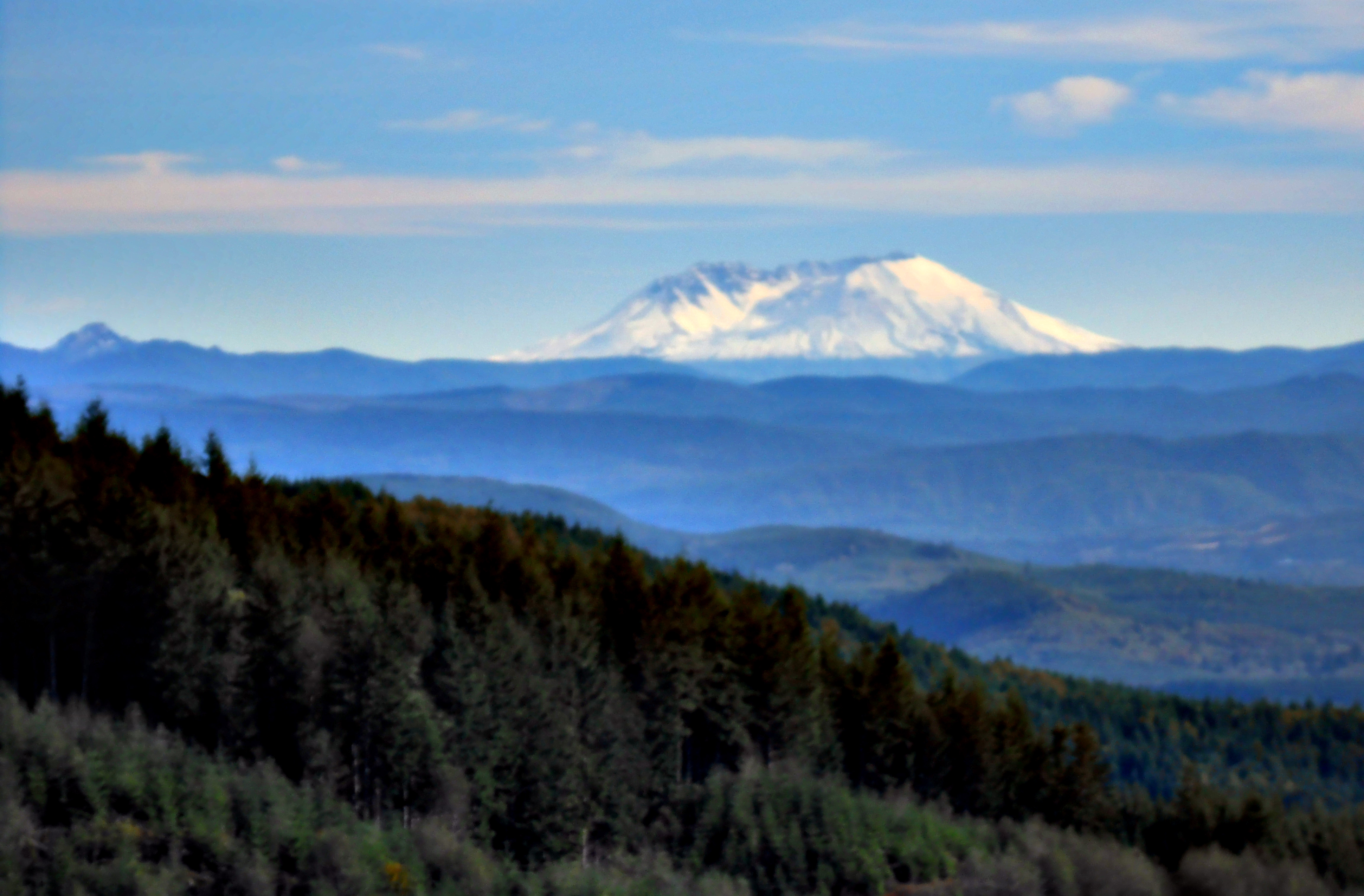
Mount Saint Helens
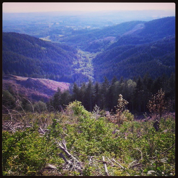
Cinebar creek valley.
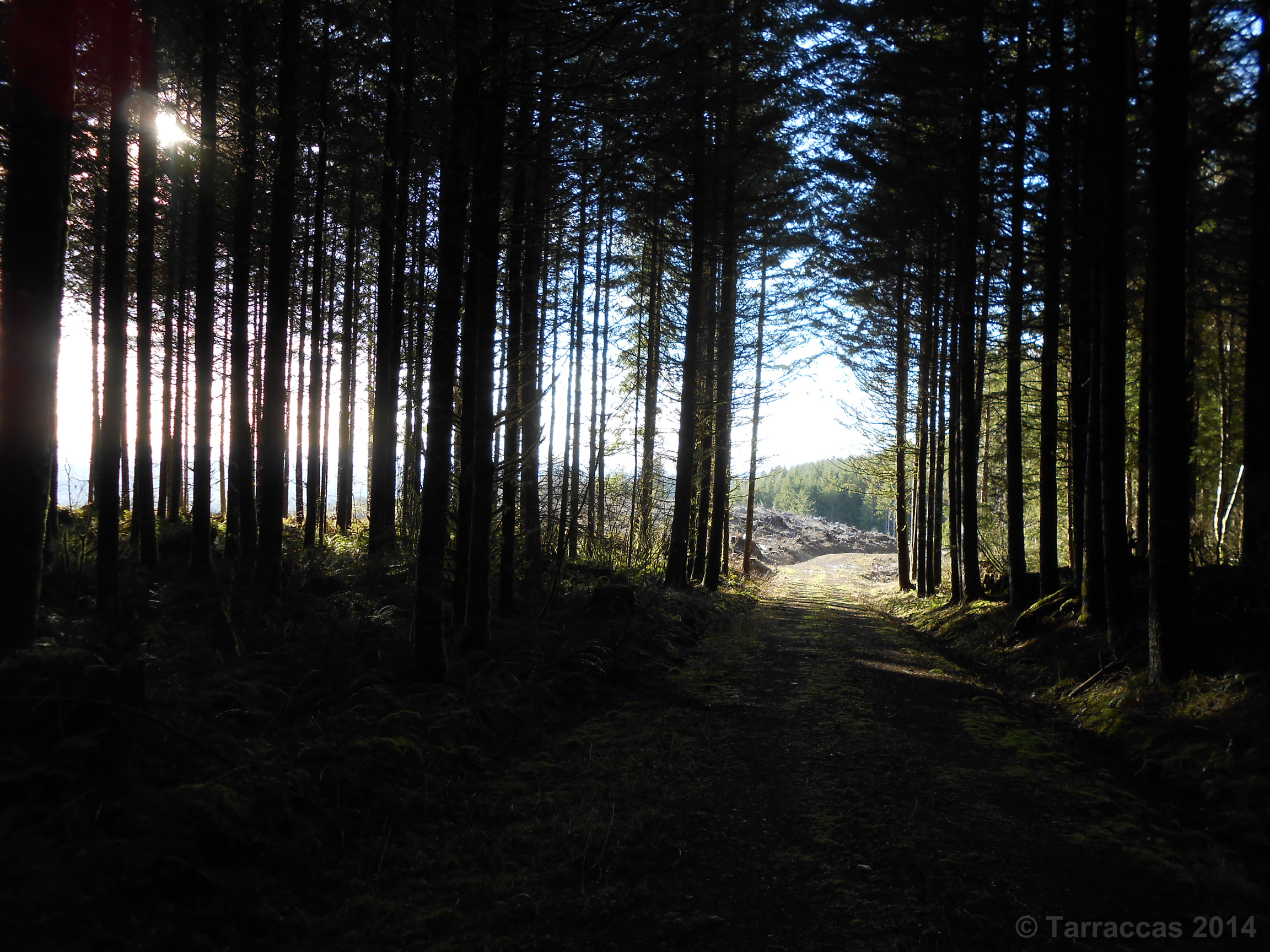
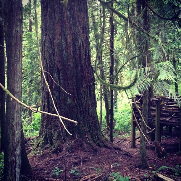
Forest Through The Trees
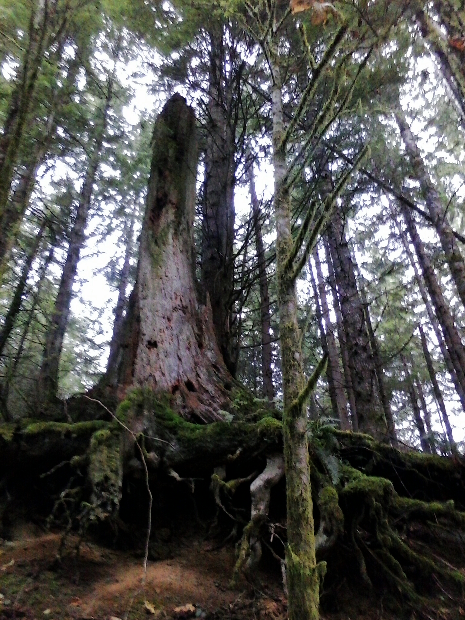
Reaching Roots
Topographic Map of Centralia Alpha Rd, Onalaska, WA, USA
Find elevation by address:

Places near Centralia Alpha Rd, Onalaska, WA, USA:
129 Beck Rd
169 Beck Rd
3510 Centralia Alpha Rd
165 Marko Rd
Onalaska
419 Burchett Rd
642 Jorgensen Rd
615-17 Oppelt Rd
Carlisle Lake
Hyak Rd, Chehalis, WA, USA
Burnt Ridge
693 Gish Rd
621 Leonard Rd
2094 Us-12
2412 Centralia Alpha Rd
143 Pine Ridge Ln
2235 Centralia Alpha Rd
2228 Centralia Alpha Rd
256 Stowell Rd
118 Tamaracks Dr
Recent Searches:
- Elevation of S Layton Cir W, Layton, UT, USA
- Elevation of F36W+3M, Mussoorie, Uttarakhand, India
- Elevation of Fairland Ave, Fairhope, AL, USA
- Elevation of Sunset Dr, Richmond, VA, USA
- Elevation of Grodna District, Hrodna Region, Belarus
- Elevation of Hrodna, Hrodna Region, Belarus
- Elevation of Sandia Derby Estates, Tijeras, NM, USA
- Elevation of 23 Sunrise View Ct, Tijeras, NM, USA
- Elevation of Lytham Ln, Katy, TX, USA
- Elevation of Tater Hill, Oklahoma, USA