Elevation map of Central Province, Maldives
Location: Maldives >
Longitude: 73.2379179
Latitude: 2.96938
Elevation: -308m / -1010feet
Barometric Pressure: 105KPa
Elevation Map:
Satellite Map:
Related Photos:

Maldivian Coral

zdjęcia z iPhone 156

zdjęcia z iPhone 160

the canteen

Road from my room to the breakfast & diving center
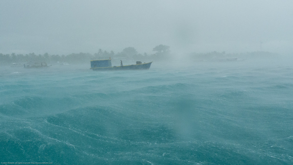
Stormy weather

a pelo d'acqua
Topographic Map of Central Province, Maldives
Find elevation by address:

Places in Central Province, Maldives:
Places near Central Province, Maldives:
Olhuveli
Guraidhoo
Velassaru
North Central Province
Atolls Of The Maldives
Malé
Male
Maldives International Arbitration Center
Velana International Airport
Recent Searches:
- Elevation of Crocker Dr, Vacaville, CA, USA
- Elevation of Pu Ngaol Community Meeting Hall, HWHM+3X7, Krong Saen Monourom, Cambodia
- Elevation of Royal Ontario Museum, Queens Park, Toronto, ON M5S 2C6, Canada
- Elevation of Groblershoop, South Africa
- Elevation of Power Generation Enterprises | Industrial Diesel Generators, Oak Ave, Canyon Country, CA, USA
- Elevation of Chesaw Rd, Oroville, WA, USA
- Elevation of N, Mt Pleasant, UT, USA
- Elevation of 6 Rue Jules Ferry, Beausoleil, France
- Elevation of Sattva Horizon, 4JC6+G9P, Vinayak Nagar, Kattigenahalli, Bengaluru, Karnataka, India
- Elevation of Great Brook Sports, Gold Star Hwy, Groton, CT, USA