Elevation map of Central Otago District, Otago, New Zealand
Location: New Zealand > Otago >
Longitude: 169.656799
Latitude: -45.282826
Elevation: 641m / 2103feet
Barometric Pressure: 94KPa
Elevation Map:
Satellite Map:
Related Photos:

Upper Manorburn Dam / Central Otago / NZ

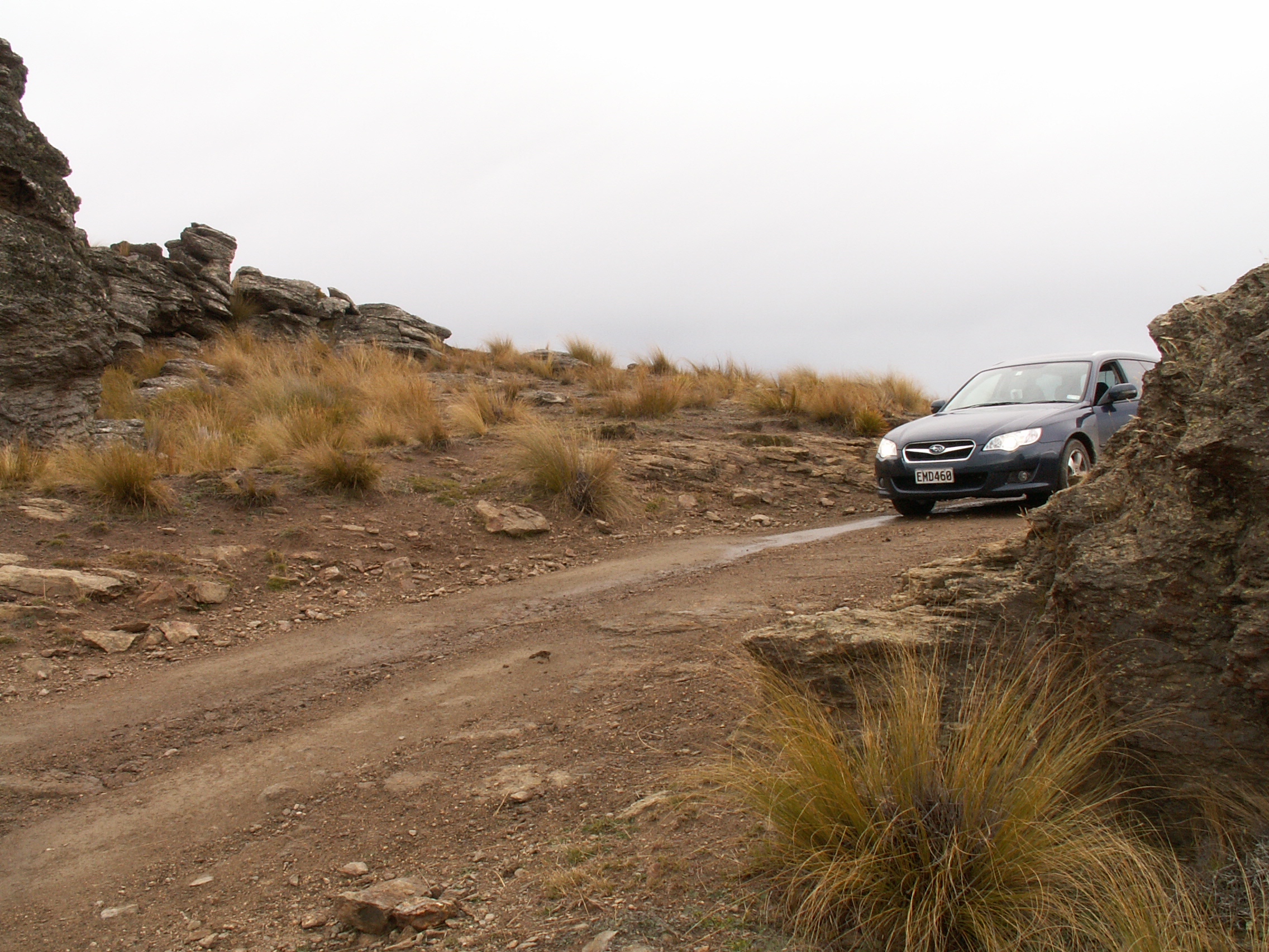
View from Highcliff Rd
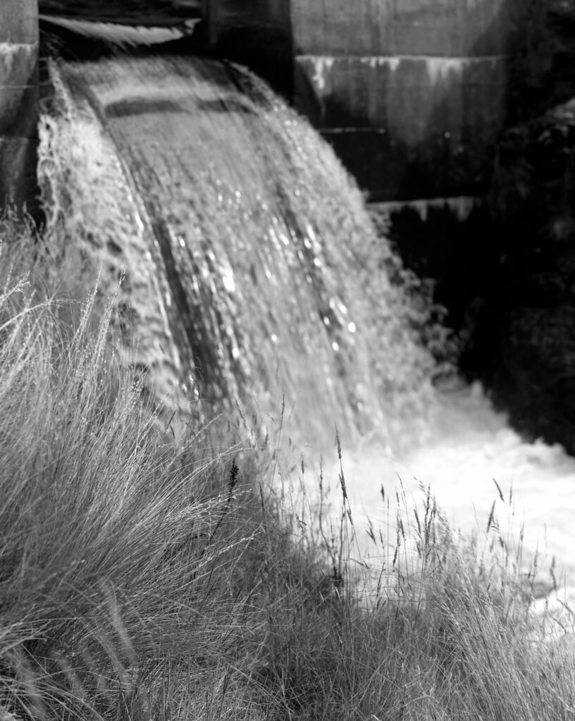
Upper Manorburn Dam / Central Otago / NZ
No Further

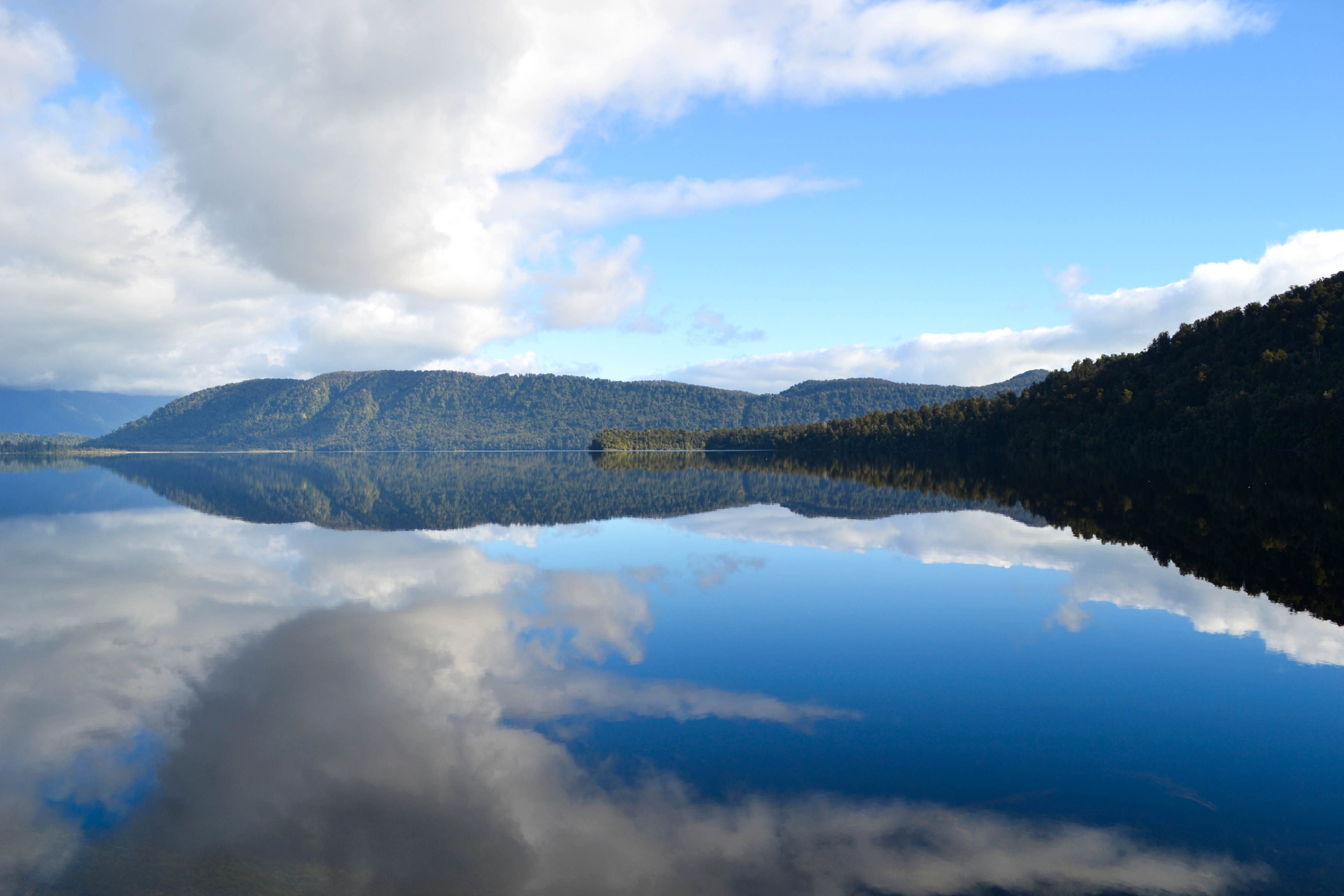
Central Evening
Split Screen - Otago, New Zealand

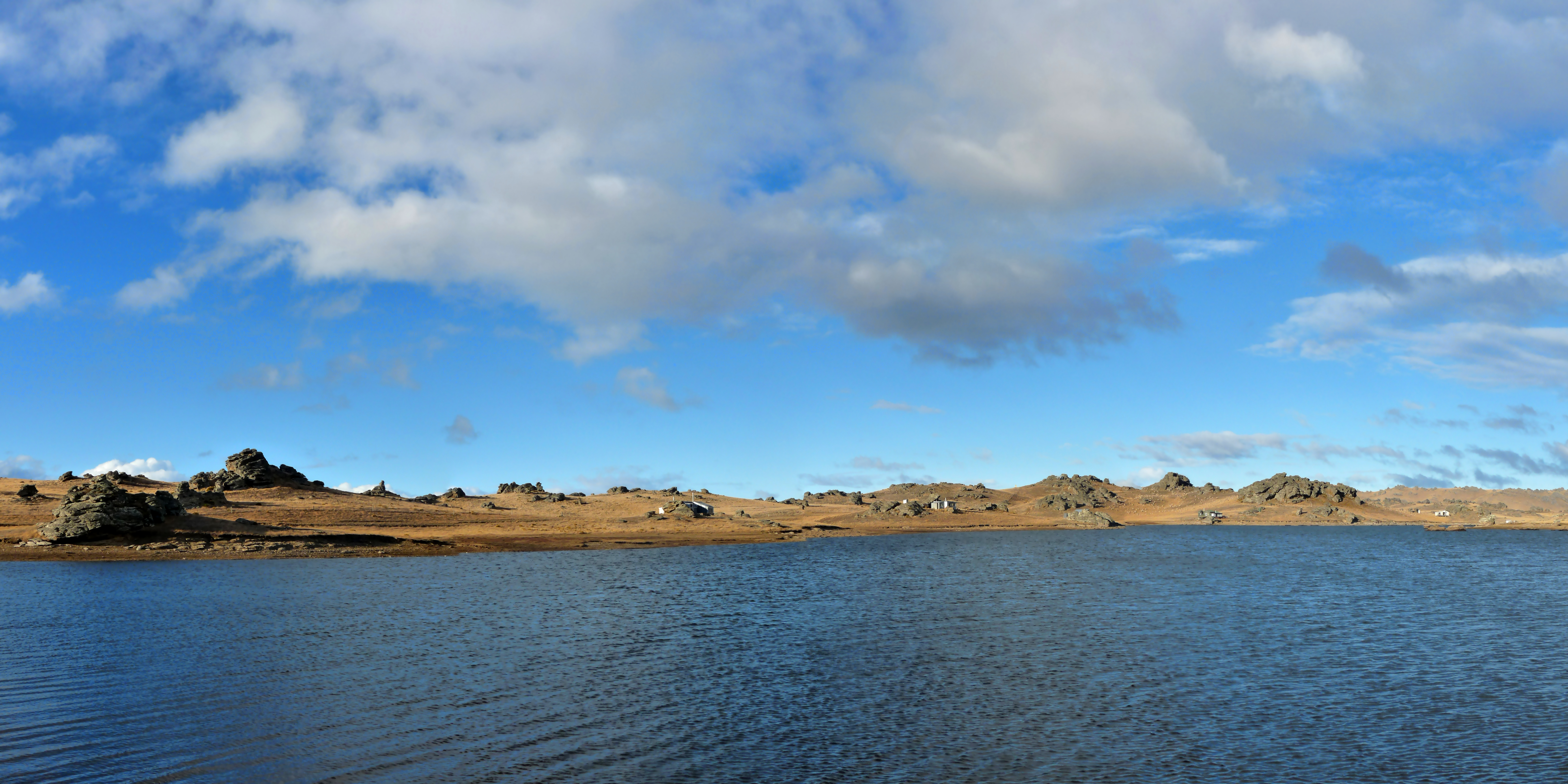
Iceland of Central Otago
The Burning of the Westfold

Dawn at Poolburn
Topographic Map of Central Otago District, Otago, New Zealand
Find elevation by address:

Places in Central Otago District, Otago, New Zealand:
Places near Central Otago District, Otago, New Zealand:
Ophir
Lauder
Springvale
659 Springvale Rd
153 Tarbert St
16 Kerry Street
19 Ngapara St
Chicago Street
9 Ventry St
75 Russell St
Bridge Hill
Fulton Hogan Central
Bringans Street
23 Bodkin Rd
128 Centennial Avenue
Walnut Grove
1 Peterson Pl
59 Kamaka Cres
Pines Road
Alexandra
Recent Searches:
- Elevation of Corso Fratelli Cairoli, 35, Macerata MC, Italy
- Elevation of Tallevast Rd, Sarasota, FL, USA
- Elevation of 4th St E, Sonoma, CA, USA
- Elevation of Black Hollow Rd, Pennsdale, PA, USA
- Elevation of Oakland Ave, Williamsport, PA, USA
- Elevation of Pedrógão Grande, Portugal
- Elevation of Klee Dr, Martinsburg, WV, USA
- Elevation of Via Roma, Pieranica CR, Italy
- Elevation of Tavkvetili Mountain, Georgia
- Elevation of Hartfords Bluff Cir, Mt Pleasant, SC, USA