Elevation map of Central Aceh, Aceh, Indonesia
Location: Indonesia > Aceh >
Longitude: 96.8350999
Latitude: 4.4482641
Elevation: 1539m / 5049feet
Barometric Pressure: 84KPa
Elevation Map:
Satellite Map:
Related Photos:
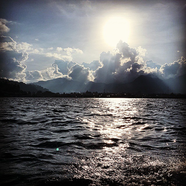
Sunset di atas dlt
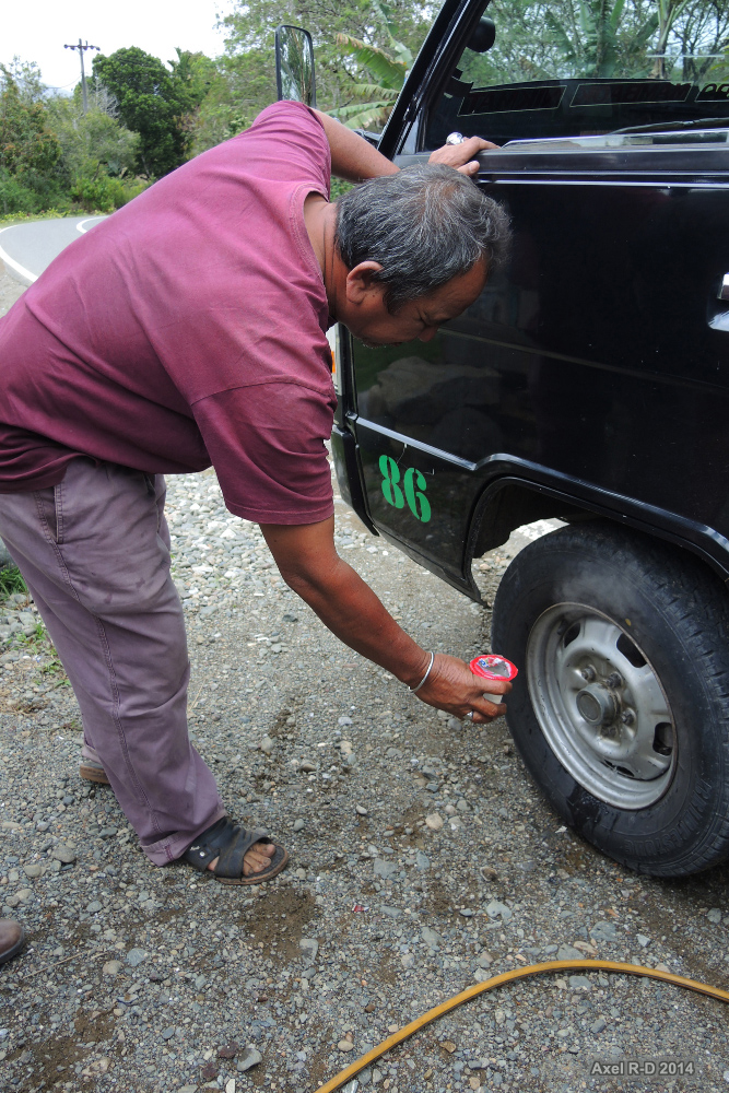
Driver - Aceh

Sepiro Gedhening Sengsoro Yen Tinompo Amung Dadi Cobo #psht #pshtclouth #pshtclouting #rantingalkala #cabangmedan #aceh #1922 #terate #prisma #prismaid #prismaindonesia #art #artofsilat #silat #ipsi #wargash

This one for one years..

Siang siang pakek jaket tulah kampungku...

ﺍَﻟﻠّﻪُ ﺍَﻛْﺒَﺮُ، ﺍَﻟﻠّﻪُ ﺍَﻛْﺒَﺮُ، ﺍَﻟﻠّﻪُ ﺍَﻛْﺒَﺮُ، ﻻَ ﺍِﻟَﻪَ ﺍِﻻَّ ﺍﻟﻠّﻪُ ﺍَﻟﻠّﻪُ ﺍَﻛْﺒَﺮُ، ﺍَﻟﻠّﻪ ﺍَﻛْﺒَﺮُ، ﻭَﻟِﻠّﻪِ ﺍﻟْﺤَﻢْ Apabila jiwa sebening air, maka janganlah membuat keruh Apabila hati seputih awan, maka jangan membuat mendung Raih kemenangan

Lunch, Jagong Town, Gayo area, Aceh
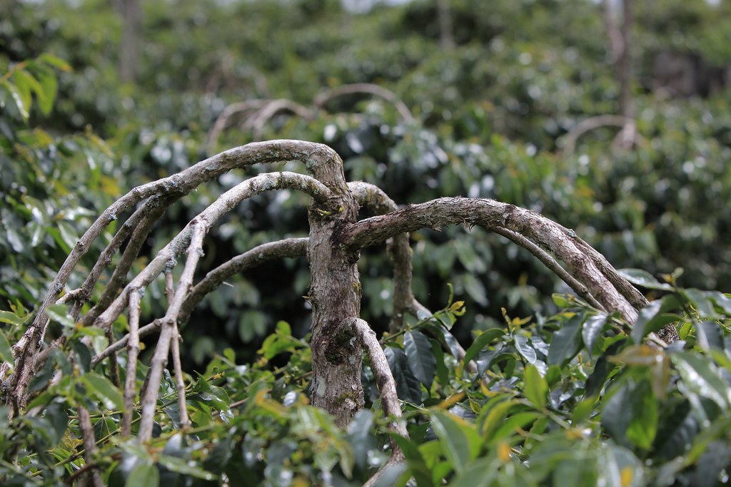
Older TimTim trees with Gayo pruning.
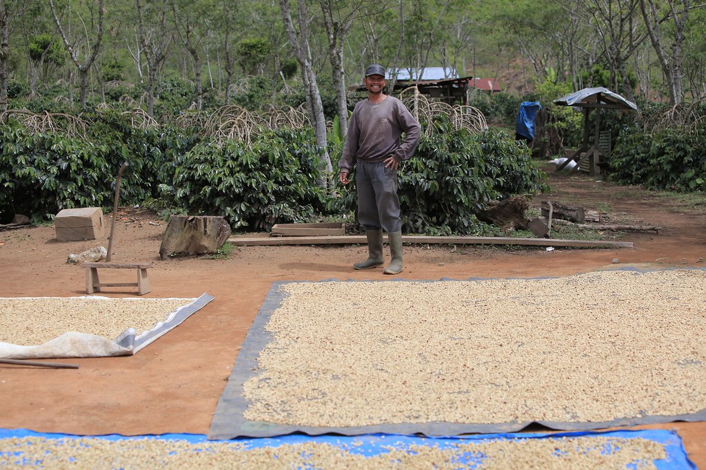
Drying on Tarps

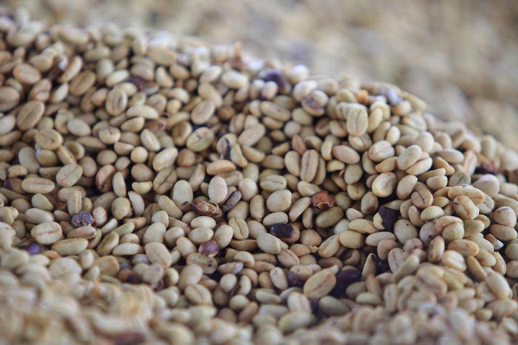
Coffee, just wet-hulled, called Labu
KBQ Baburrayyan Coop at NCBA Mill
Topographic Map of Central Aceh, Aceh, Indonesia
Find elevation by address:

Places in Central Aceh, Aceh, Indonesia:
Places near Central Aceh, Aceh, Indonesia:
Berawang Dewal
Jagong Jeget
Takengon
Aceh
Aceh
Blang Mancung Bawah
Bukit
Redelong. Cv
Simpang Tiga Redelong
Beutong Ateuh Banggalang
Beutong
Bener Meriah Regency
Ketol
Bireuen Regency
West Aceh Regency
Tutut
Mas River
Geumpang
Meureudu
Mane
Recent Searches:
- Elevation of 12 Hutchinson Woods Dr, Fletcher, NC, USA
- Elevation of Holloway Ave, San Francisco, CA, USA
- Elevation of Norfolk, NY, USA
- Elevation of - San Marcos Pass Rd, Santa Barbara, CA, USA
- Elevation of th Pl SE, Issaquah, WA, USA
- Elevation of 82- D Rd, Captain Cook, HI, USA
- Elevation of Harlow CM20 2PR, UK
- Elevation of Shenyang Agricultural University, Dong Ling Lu, Shen He Qu, Shen Yang Shi, Liao Ning Sheng, China
- Elevation of Alpha Dr, Melbourne, FL, USA
- Elevation of Hiroshima University, 1-chōme-3-2 Kagamiyama, Higashihiroshima, Hiroshima -, Japan