Elevation of Center St, Dowagiac, MI, USA
Location: United States > Michigan > Cass County > Dowagiac >
Longitude: -86.191431
Latitude: 42.0818185
Elevation: 248m / 814feet
Barometric Pressure: 98KPa
Elevation Map:
Satellite Map:
Related Photos:
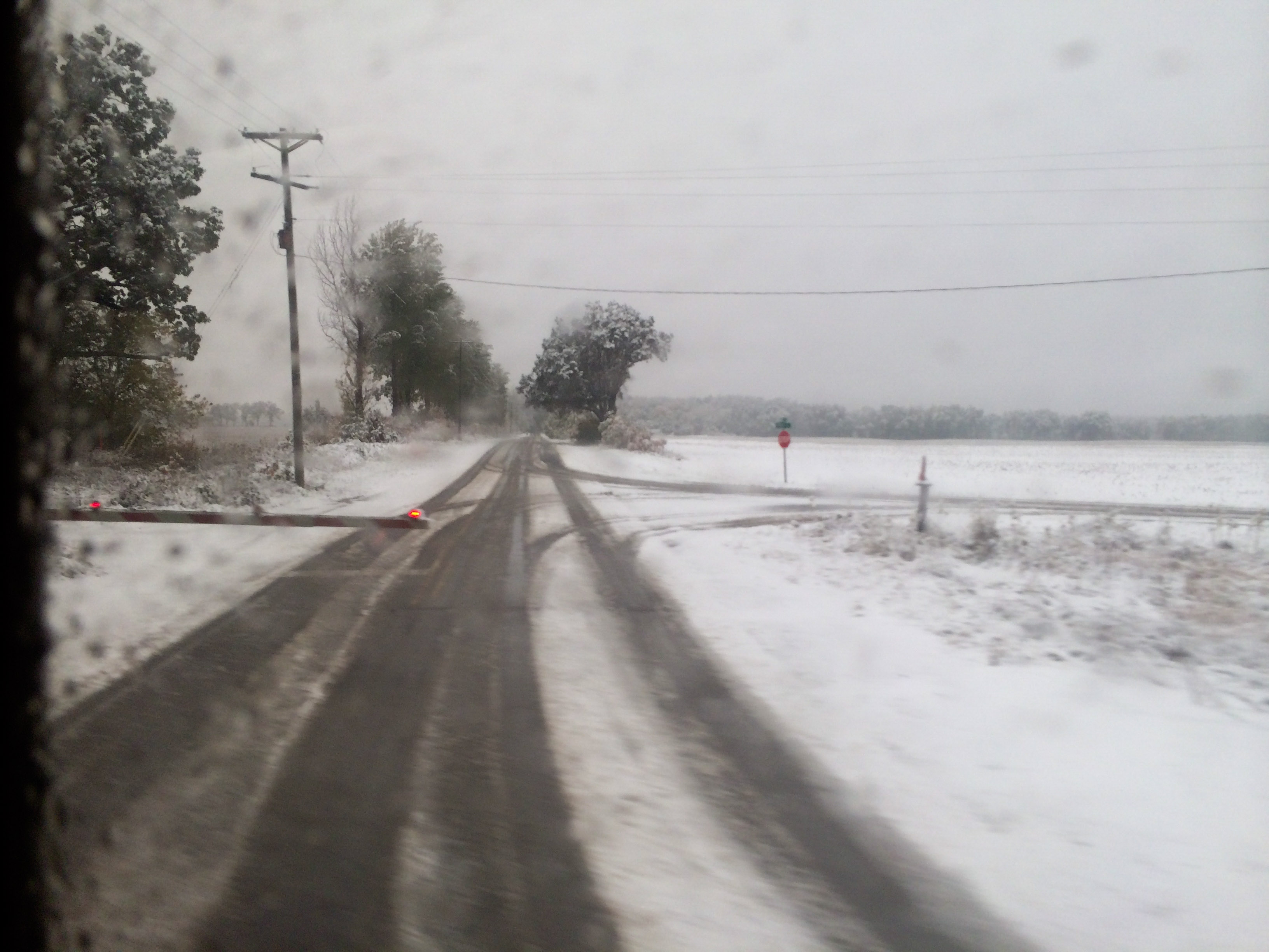
snowy Amtrak

turquoise wind chime
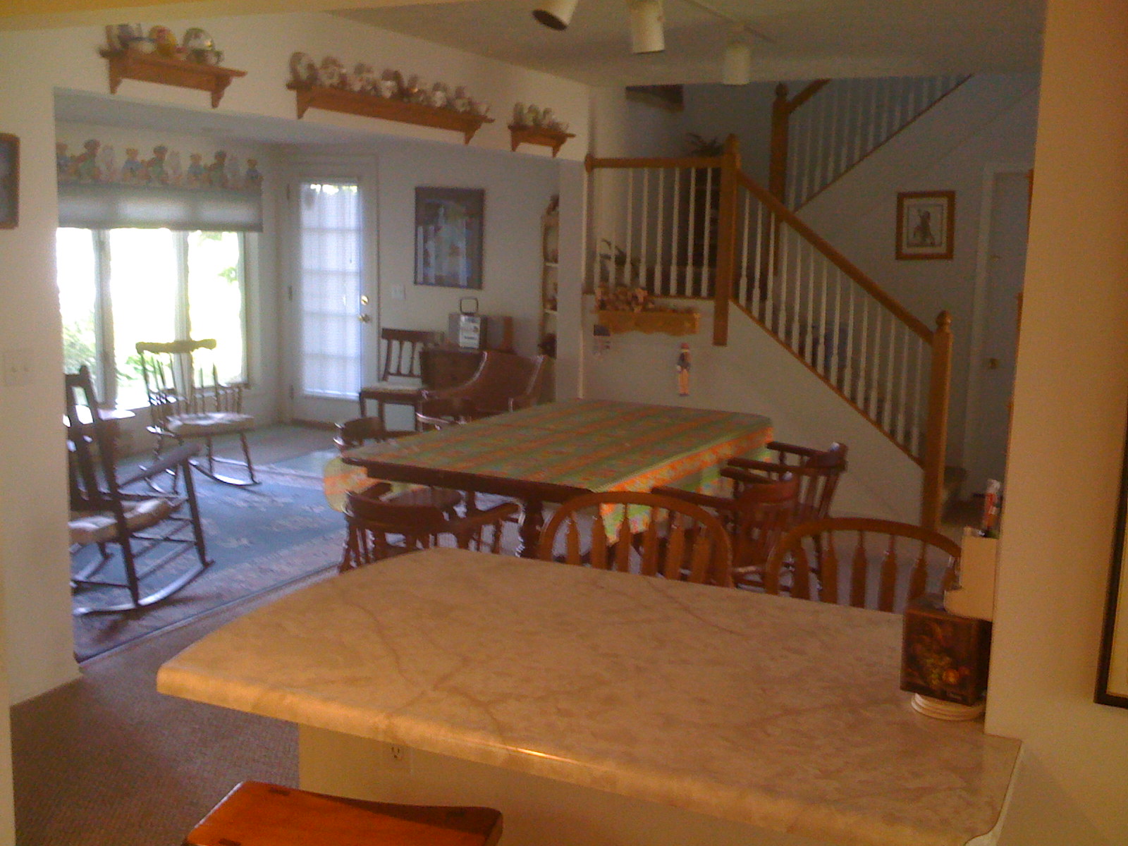
Uncle Bill's Dining room and sitting area
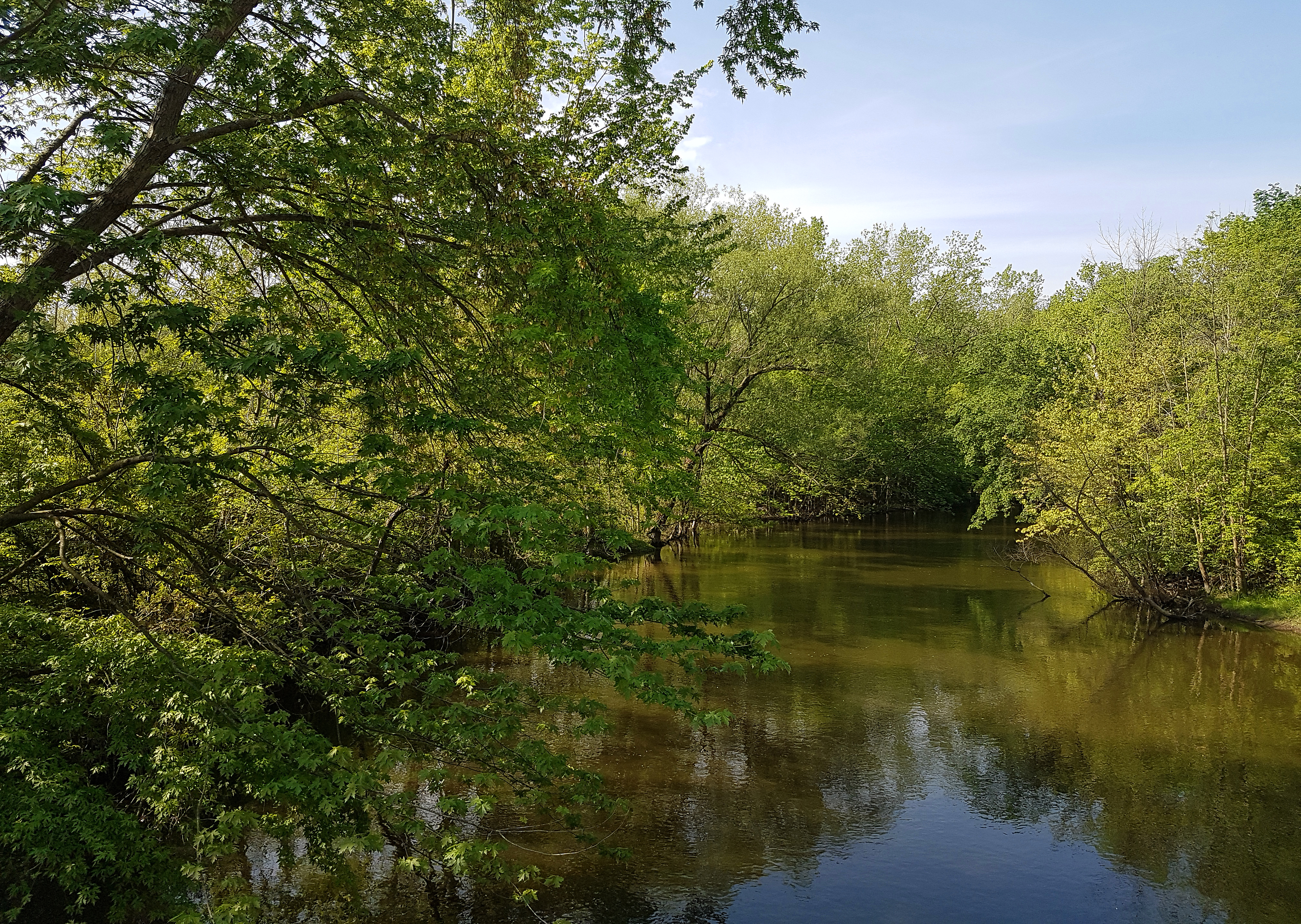
Paw Paw River

On The Ground

Coloma prairie
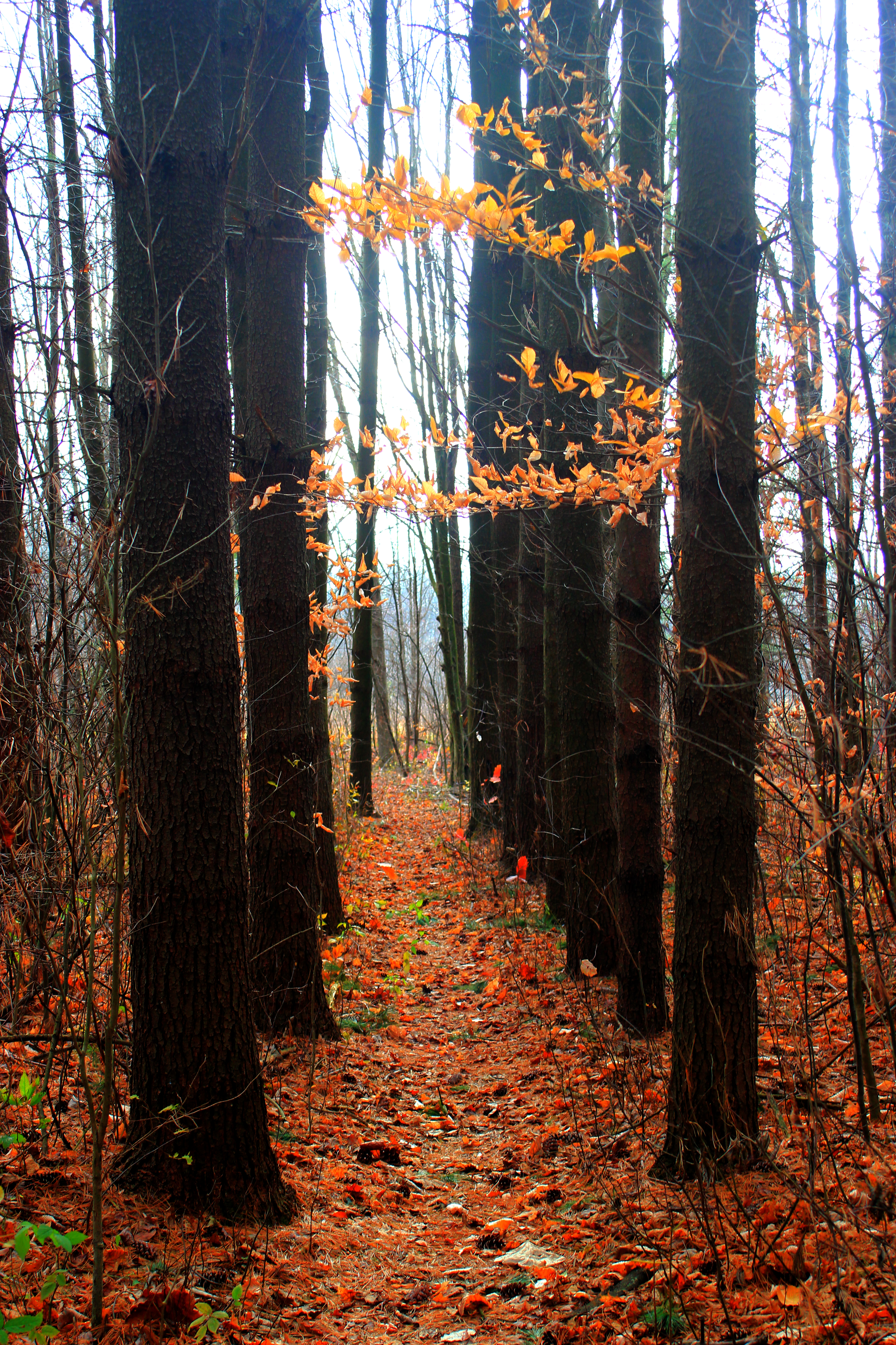
Dowagiac Woods

Sunrise at Paw Paw Lake

Corn Fields in MI

New IR Filter
The Grove at Greenwoods Camp for Boys - Decatur, MI

Showing off their little pumpkins.

Serene Dewey Lake with burn/dodge

Serene Dewey Lake
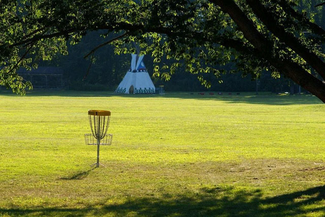
Point O' Woods #8

Cloud Bank

69 (8)

Tree-Mendus Fruit Farm

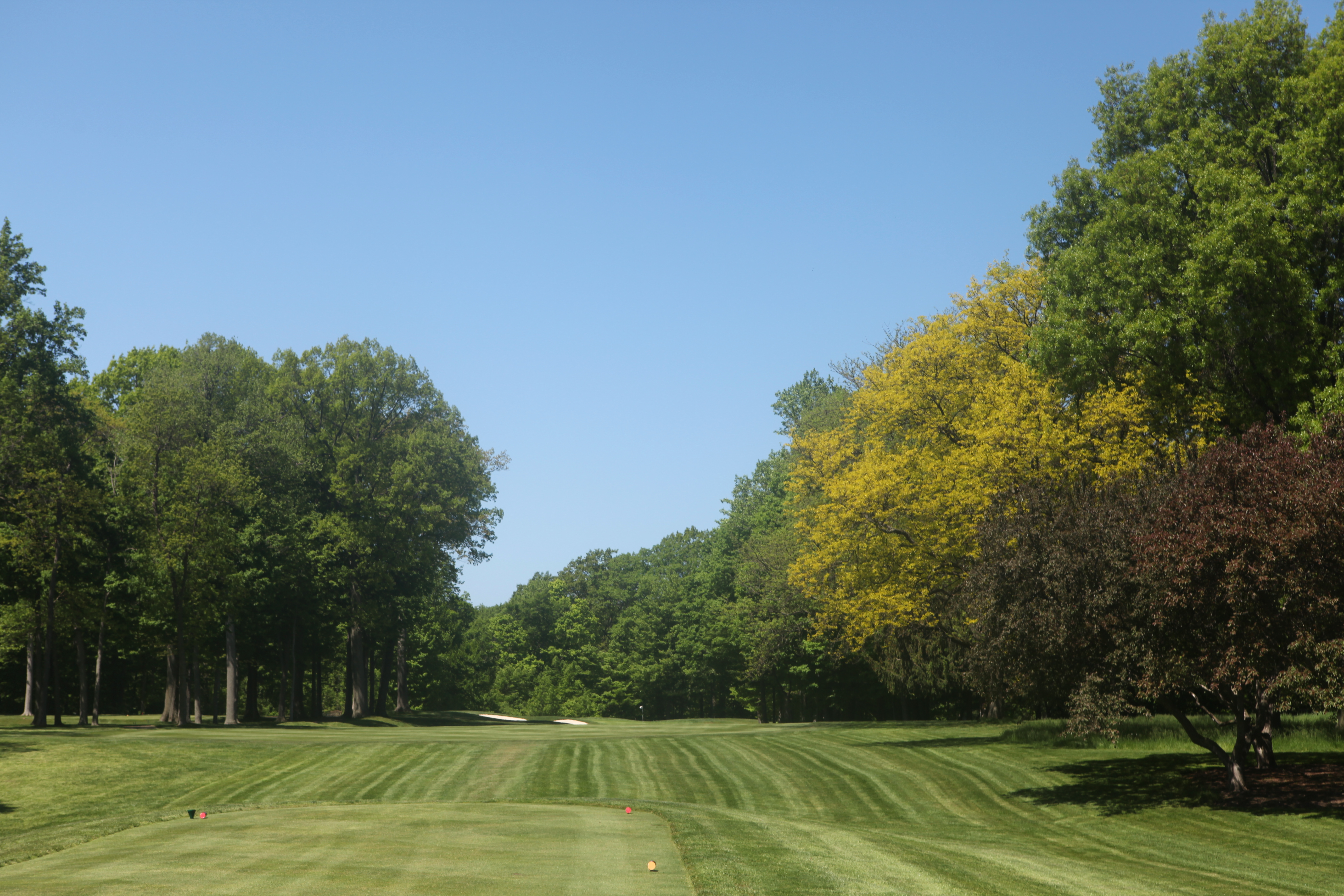
Point O' Woods #9

Sunrise on the lake

17 (11)

Point O' Woods

39 (1)

40 (11)
Topographic Map of Center St, Dowagiac, MI, USA
Find elevation by address:

Places near Center St, Dowagiac, MI, USA:
Silver Creek Township
Naomi Rd, Eau Claire, MI, USA
E Napier Ave, Benton Harbor, MI, USA
Bainbridge Township
Pipestone Township
6991 Ryno Rd
6991 Ryno Rd
Coloma
323 Hill St
Hillandale Rd, Benton Harbor, MI, USA
4269 Hillandale Rd
2615 Carmody Rd
Sodus
12 Corners Vineyards
Sodus Township
2135 Derfla Dr
2154 Derfla Dr
Benton Charter Township
Royalton Township
2831 River's Edge Dr
Recent Searches:
- Elevation of F36W+3M, Mussoorie, Uttarakhand, India
- Elevation of Fairland Ave, Fairhope, AL, USA
- Elevation of Sunset Dr, Richmond, VA, USA
- Elevation of Grodna District, Hrodna Region, Belarus
- Elevation of Hrodna, Hrodna Region, Belarus
- Elevation of Sandia Derby Estates, Tijeras, NM, USA
- Elevation of 23 Sunrise View Ct, Tijeras, NM, USA
- Elevation of Lytham Ln, Katy, TX, USA
- Elevation of Tater Hill, Oklahoma, USA
- Elevation of NY-, Friendship, NY, USA