Elevation of Center Barnstead, Barnstead, NH, USA
Location: United States > New Hampshire > Belknap County > Barnstead >
Longitude: -71.259776
Latitude: 43.3389519
Elevation: 155m / 509feet
Barometric Pressure: 99KPa
Elevation Map:
Satellite Map:
Related Photos:

shoot the moon

View from Little Baldy Pan
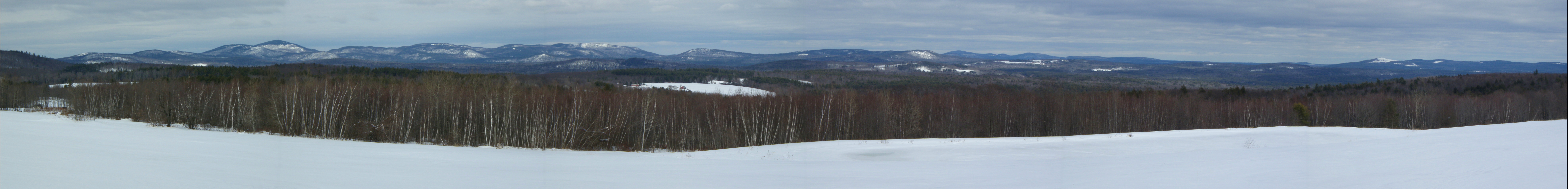
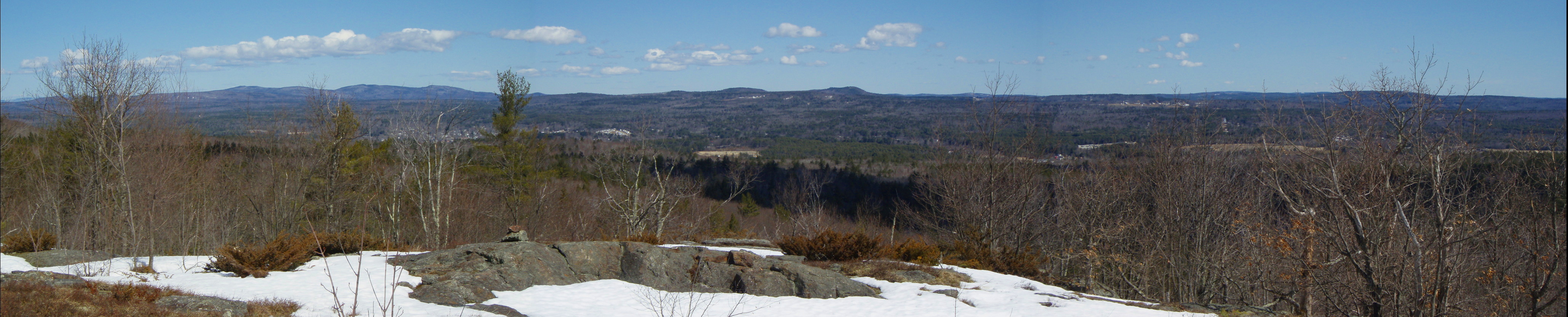
Frisky Hill View-point (pano) 3/2/13

It's Alive!!!
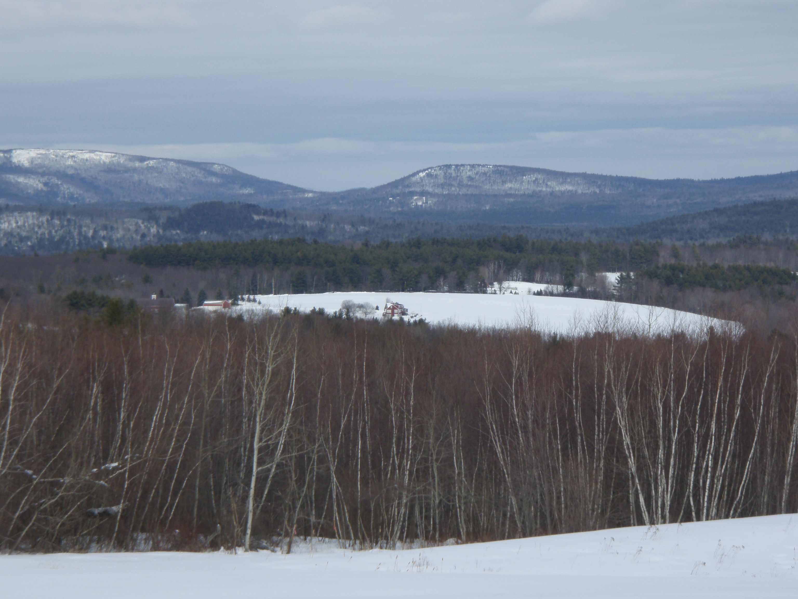
Frisky Hill View 3/2/13

Finding THE Photo Op
View East from Little Baldy
Alton Bay from above
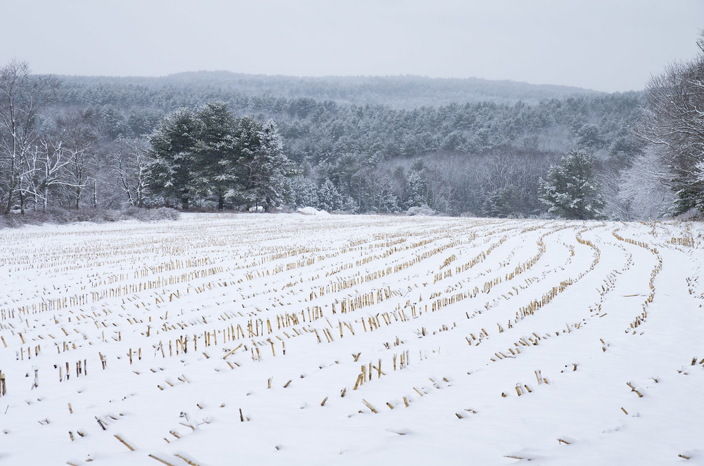
snow-lanes

Slowly Rising

Summers End

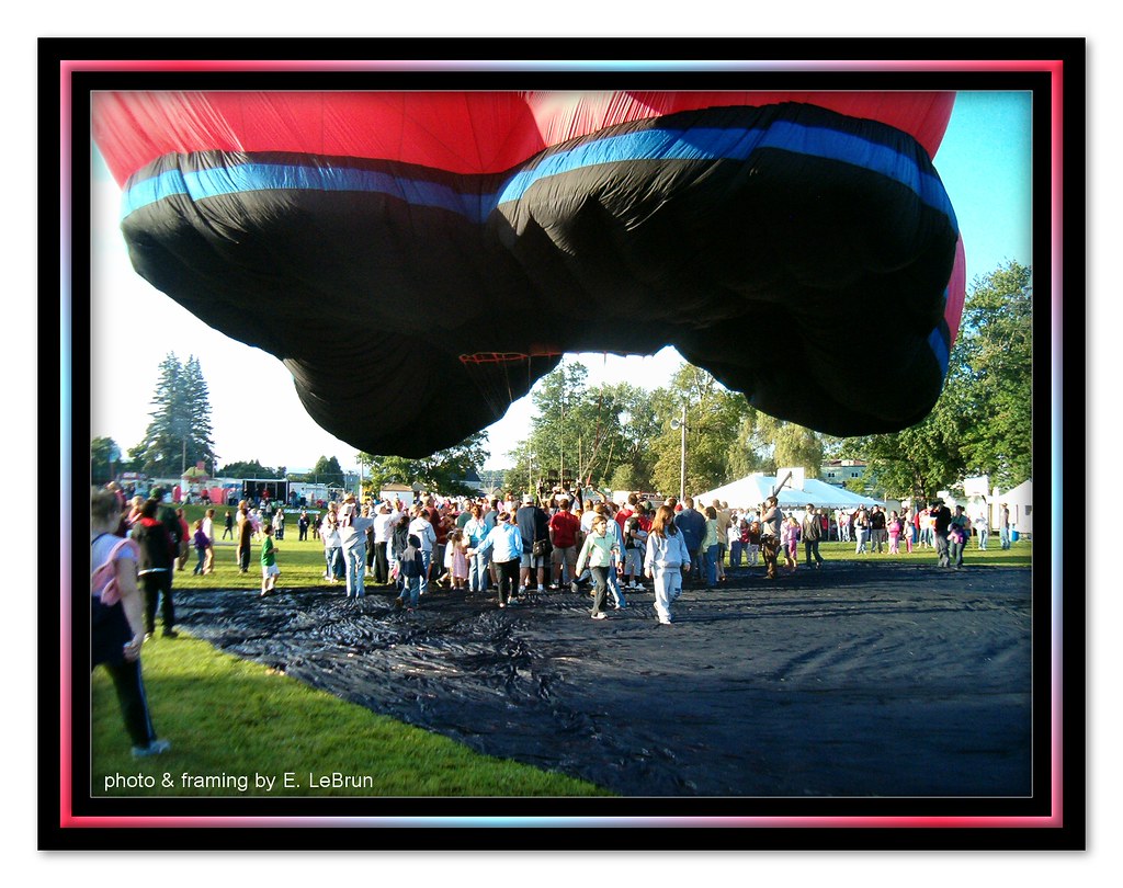
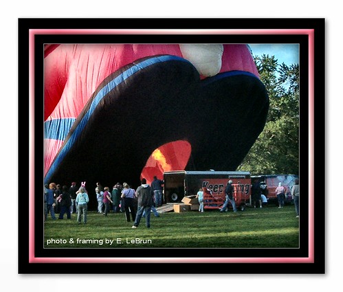
Pittsfield Hot Air Balloon Rally - Pittsfield, N. H.
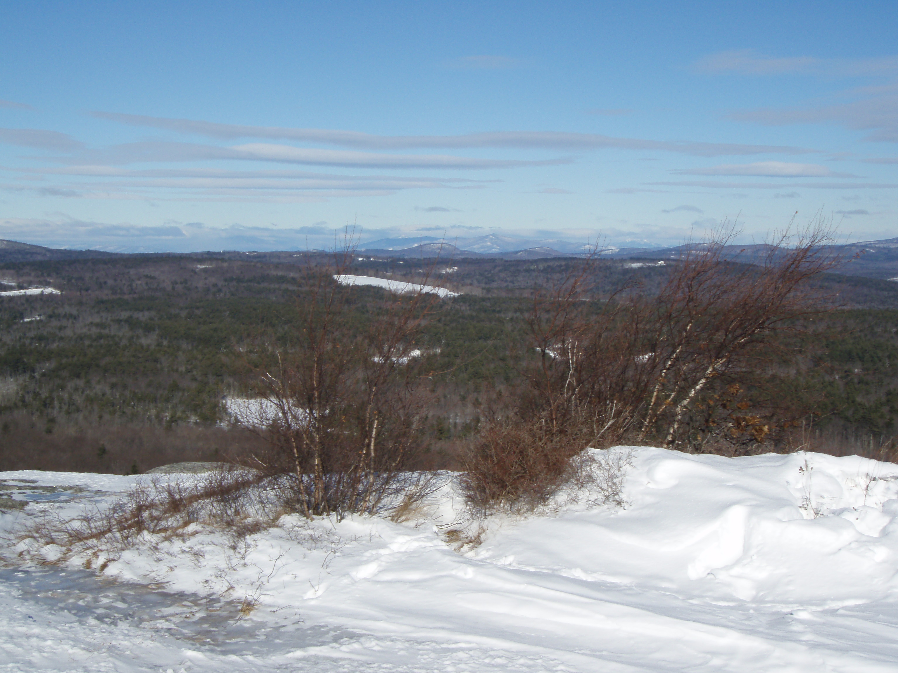
View North from Little Baldy

Can Almost See It Breathing

Gathering Around To Get The Scoop
Gives New Meaning To Getting Underfoot
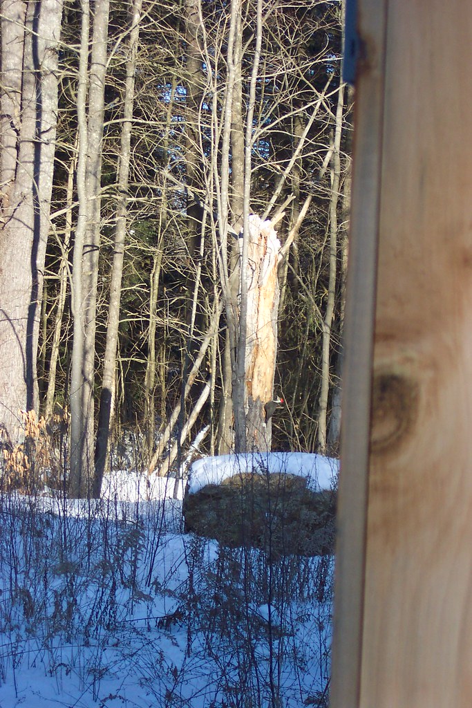
Giant (Pileated) Woodpecker
Getting Fired Up
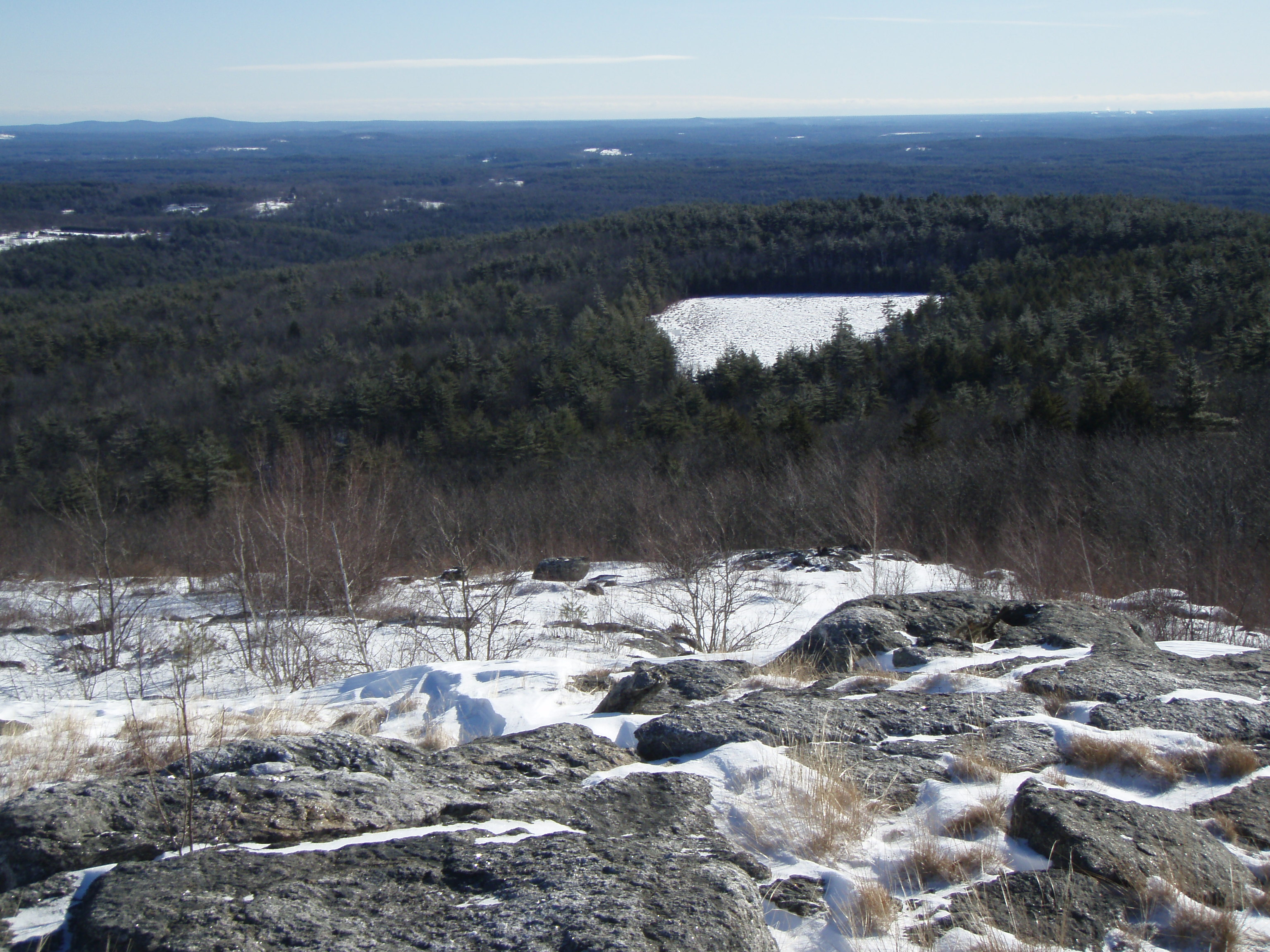
View from Tower

Into the Cloud

Getting Energized
Berry's River

More Pics from Mailin's Phone
Cold Front HDR

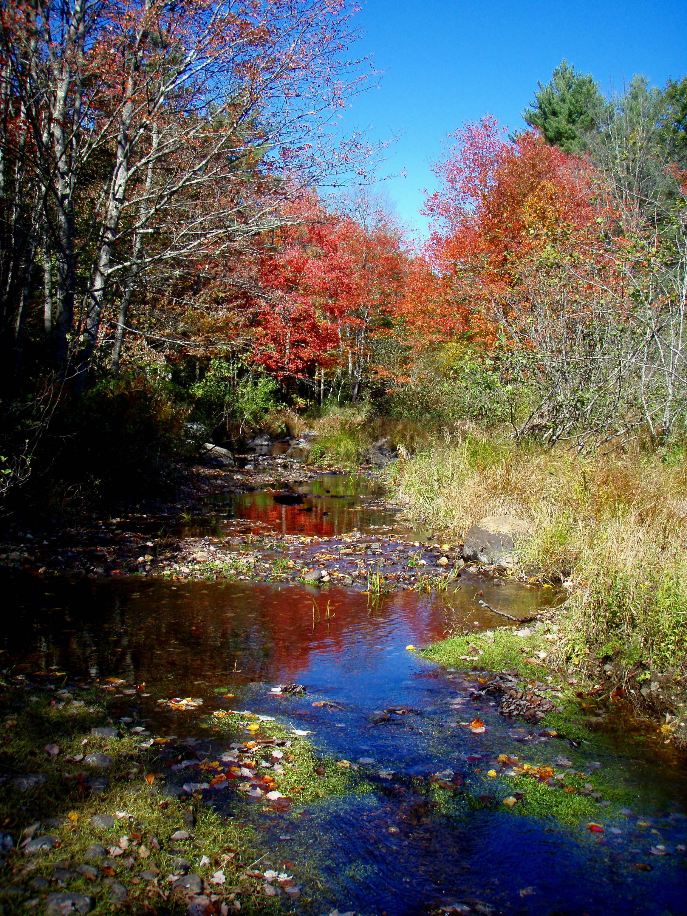
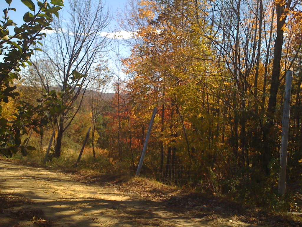
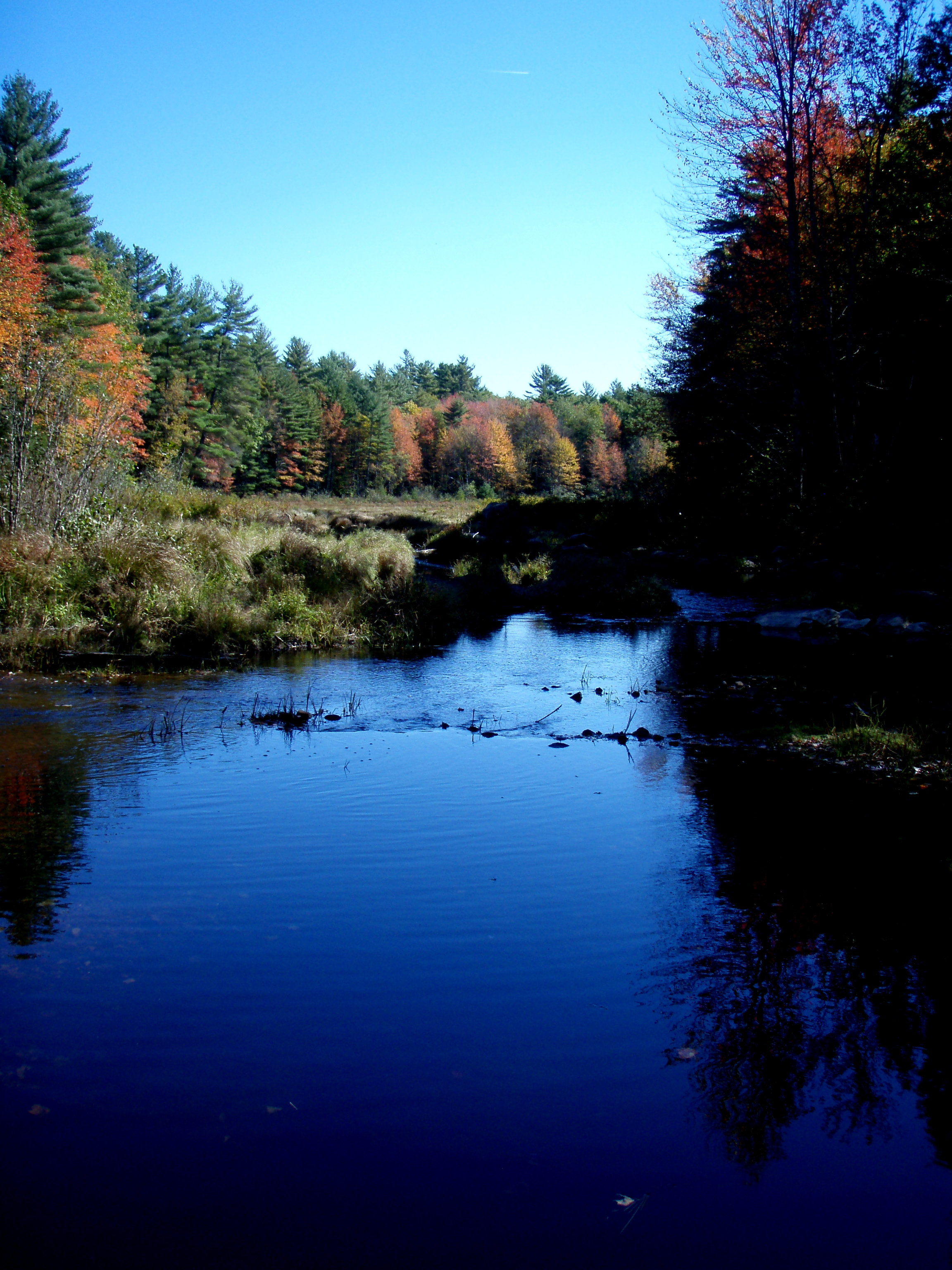
Berry's River
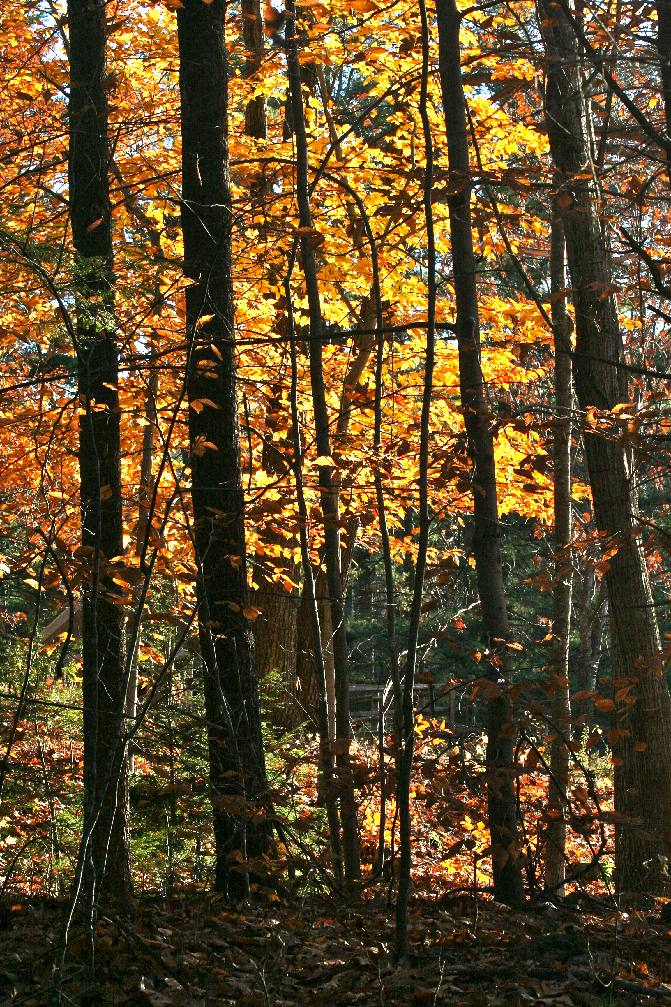
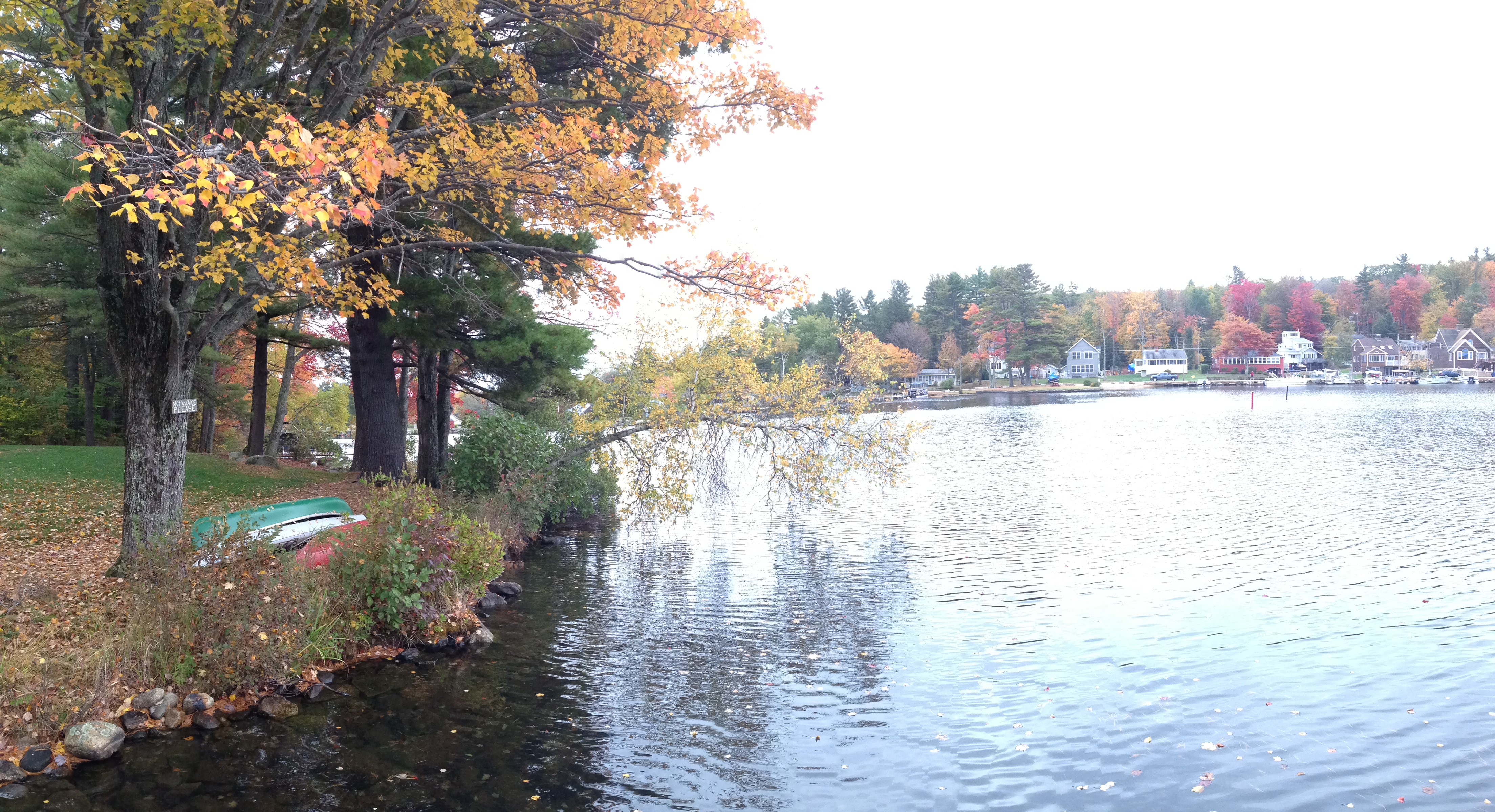
Reflective Foliage
dotted drive14
Berry's River
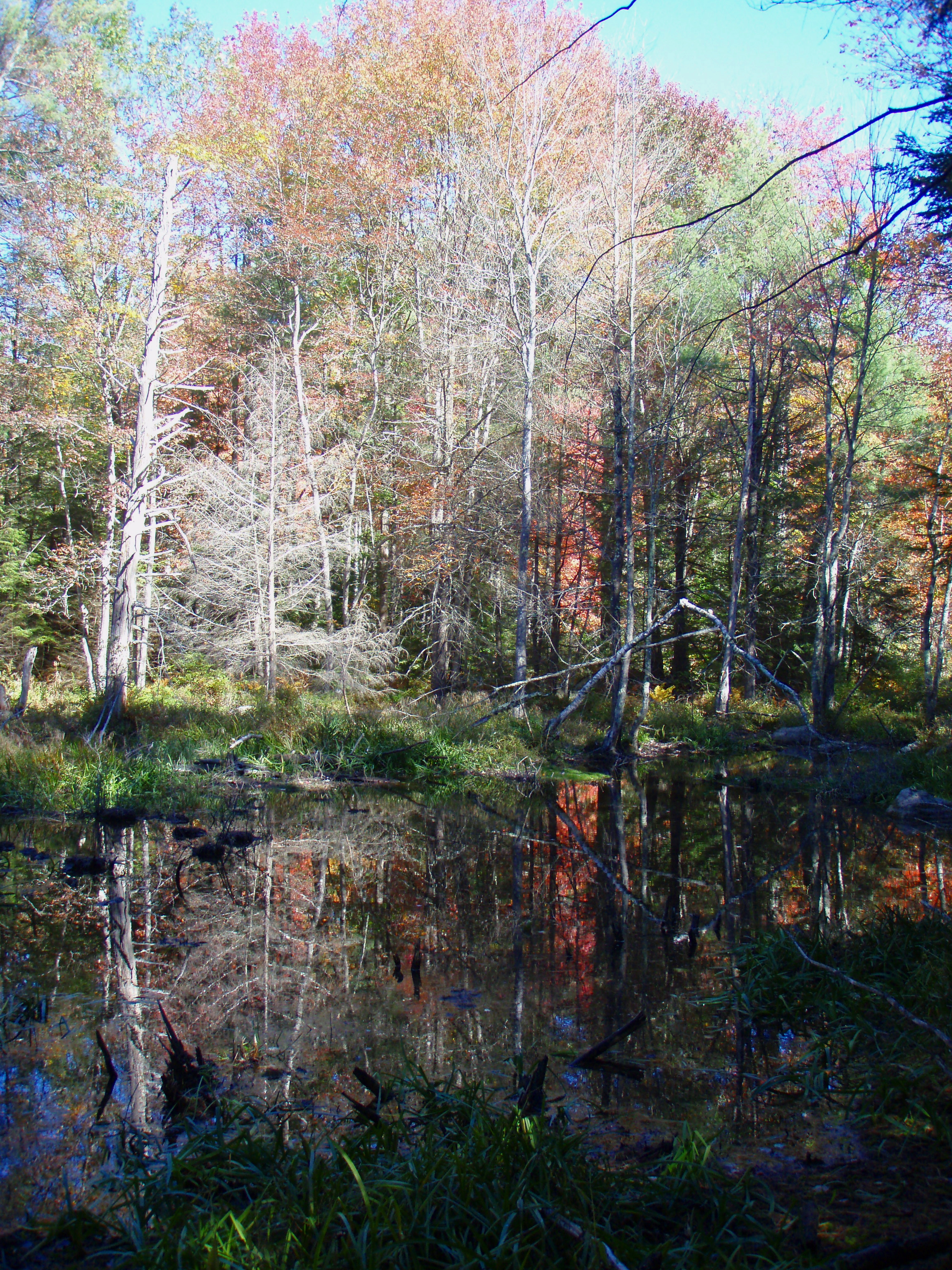
Reflective Foliage
Appleview Farm
morning light

More Pics from Mailin's Phone
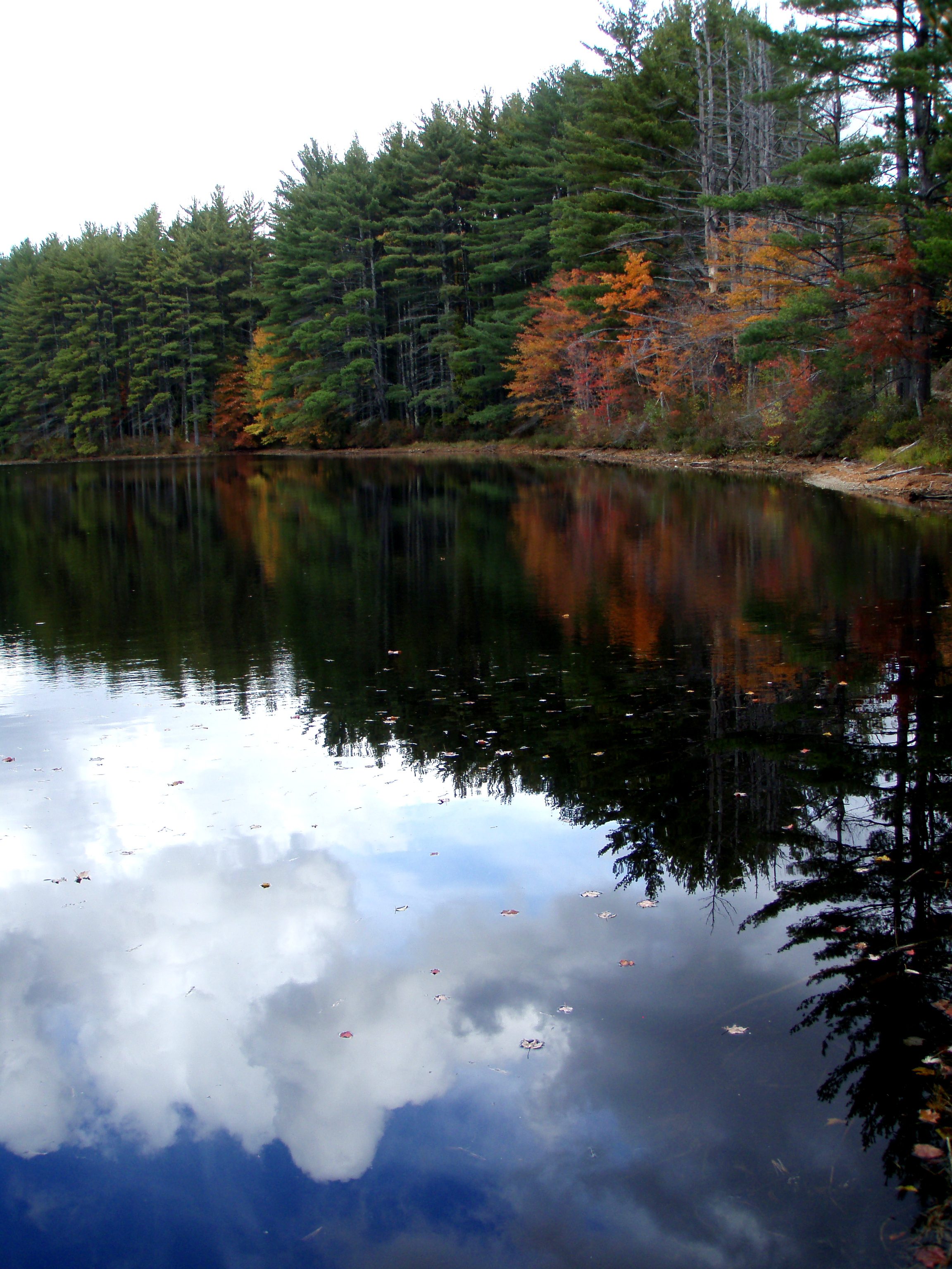
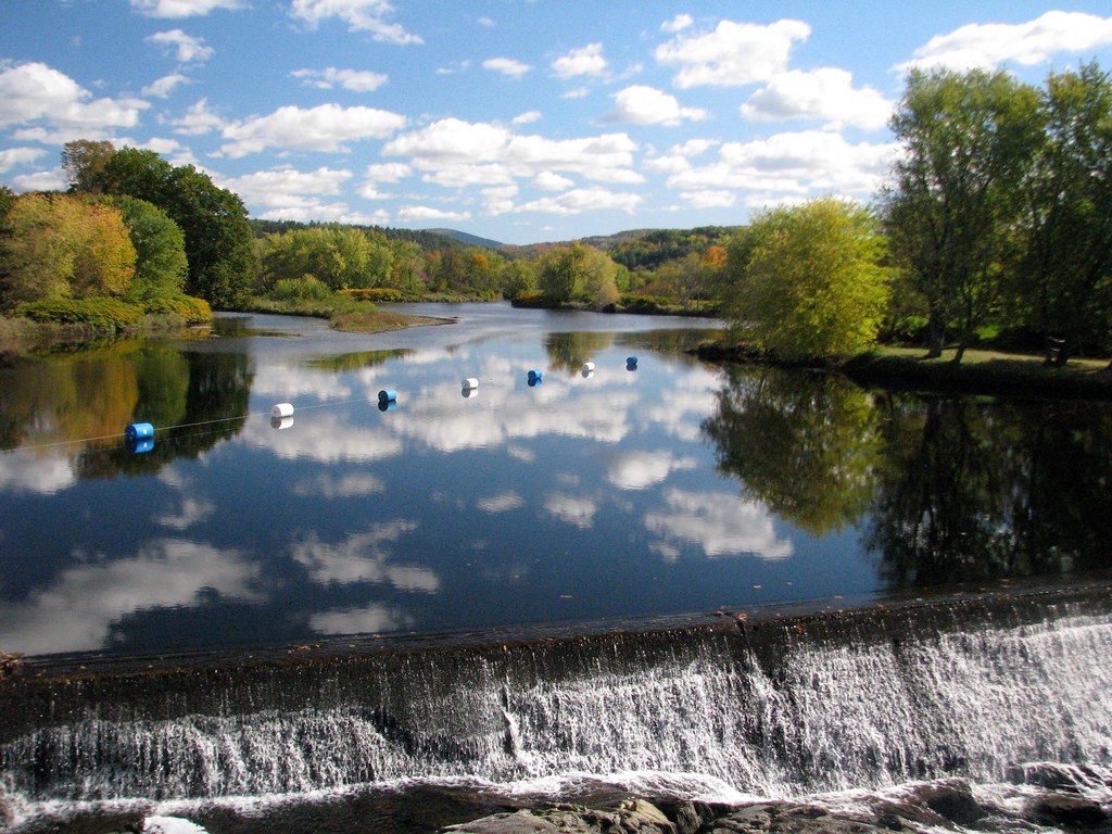
Resevoir Pond
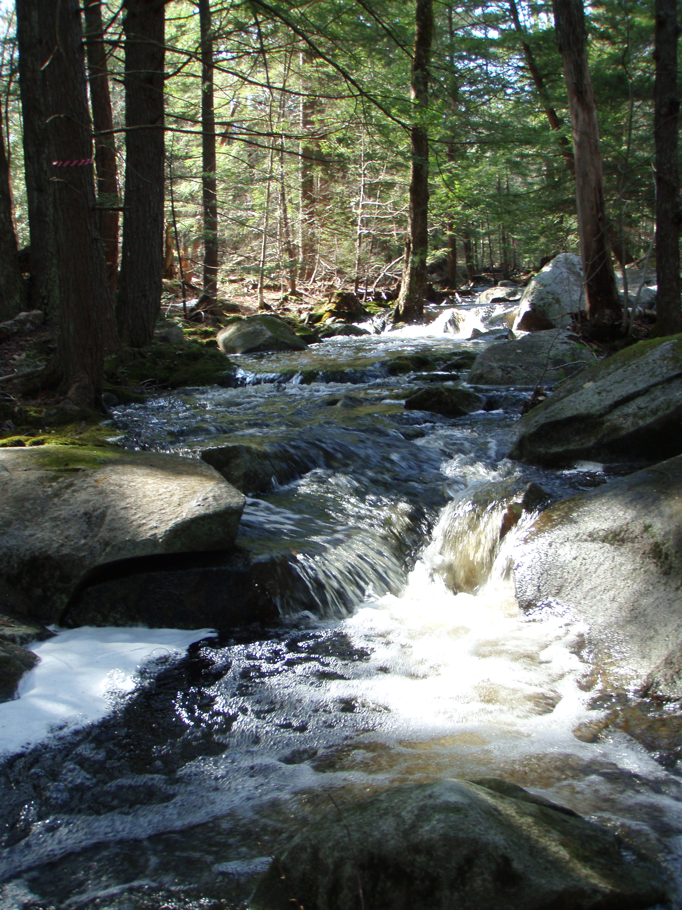
Berry's River
Demeritt Ledge (pano)
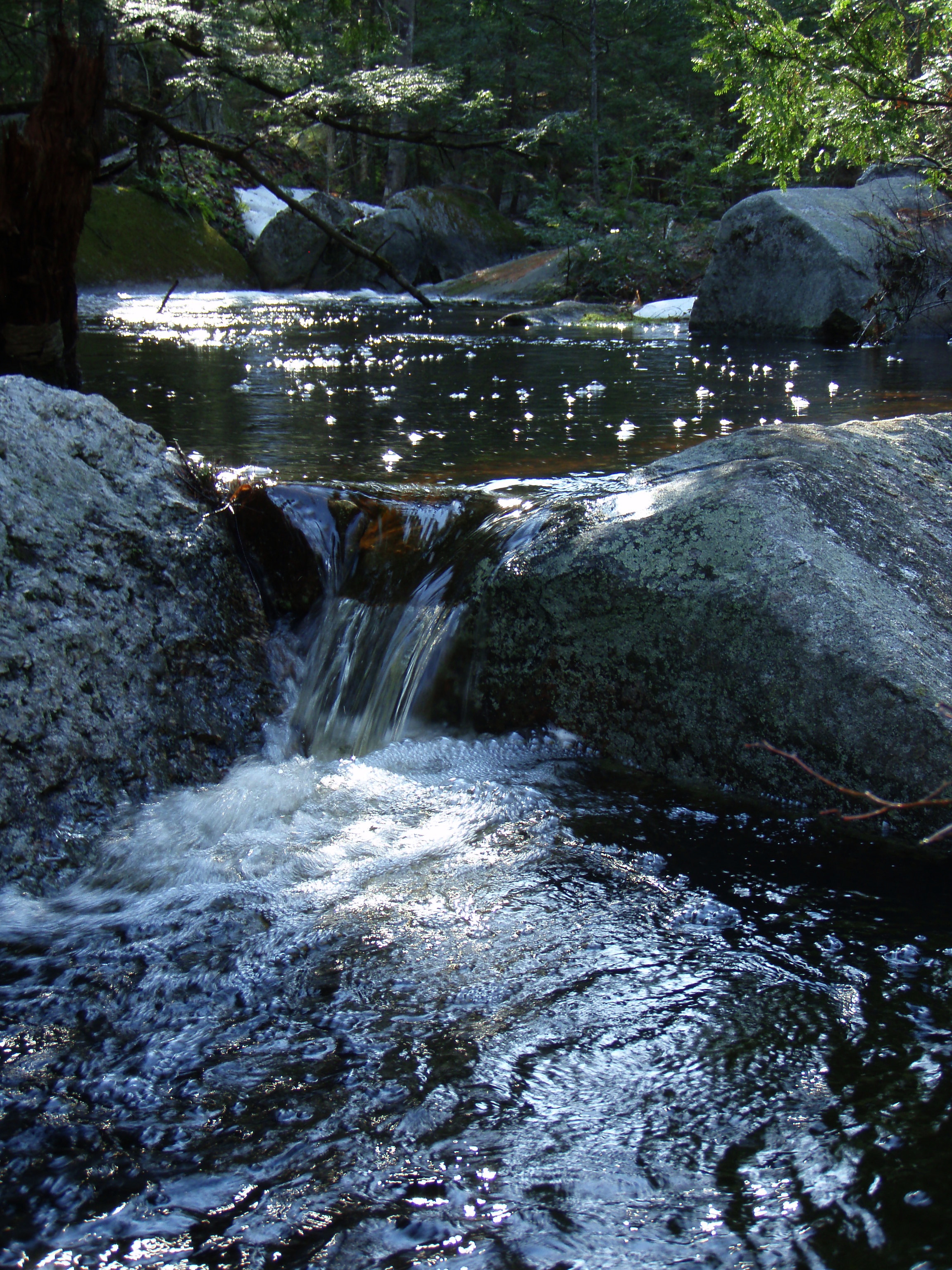
Berry's River
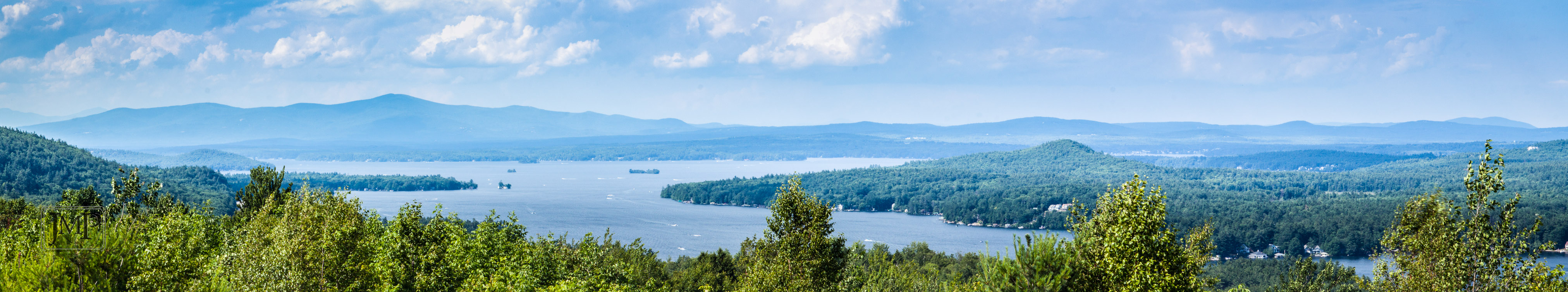
Bow Lake
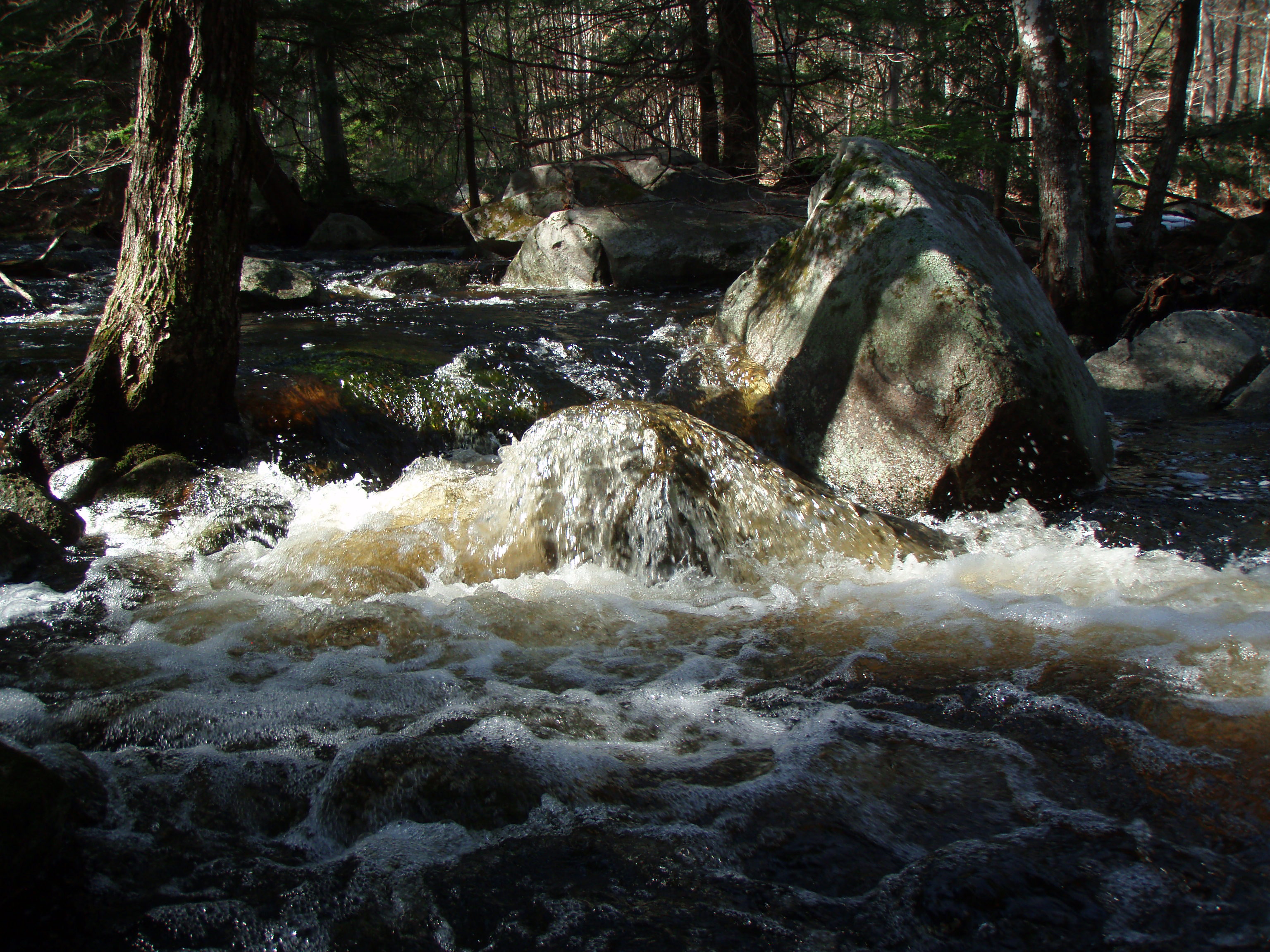
Berry's River
Reflective Foliage
welcome spot
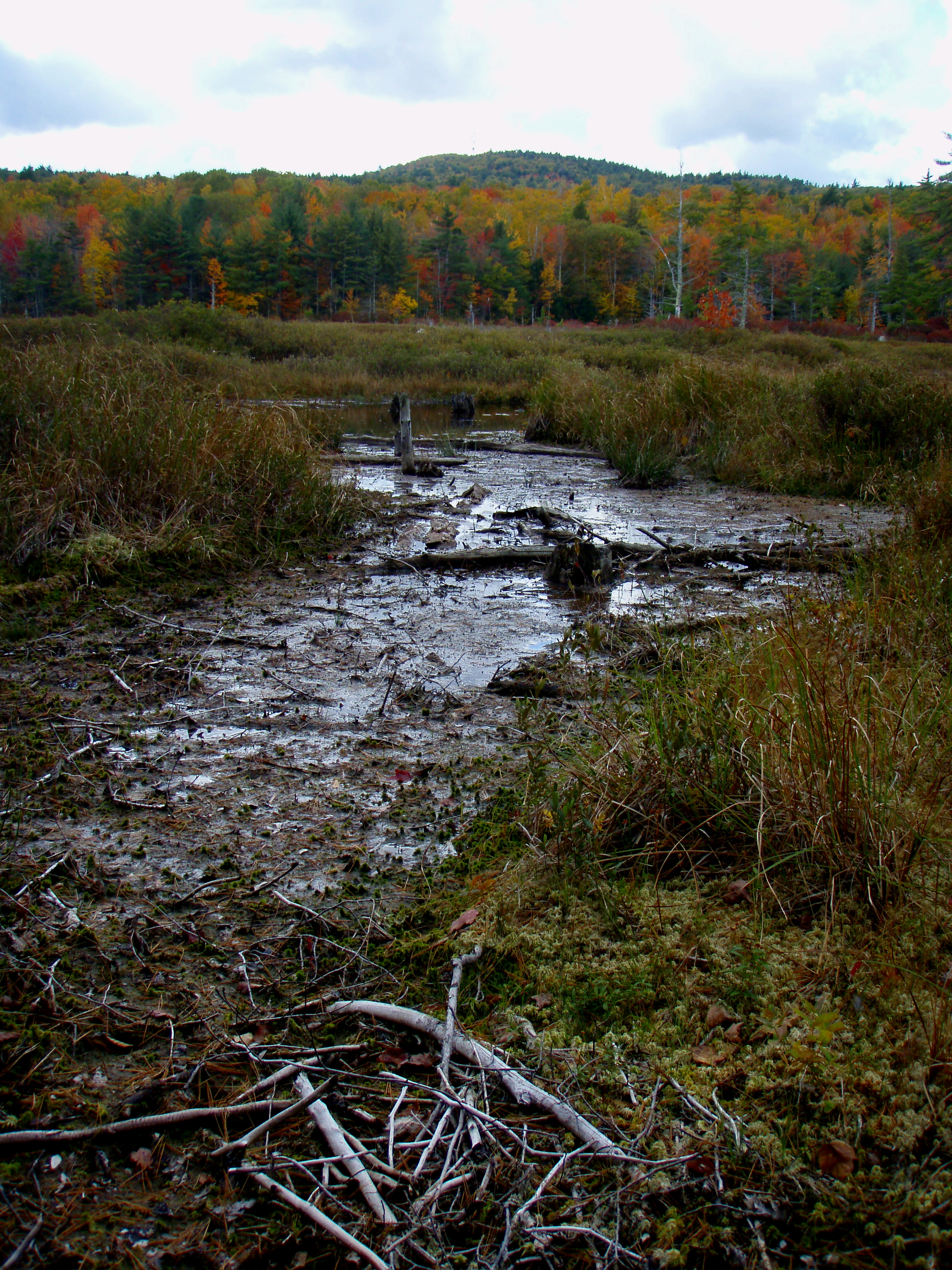
Oxbow Pond
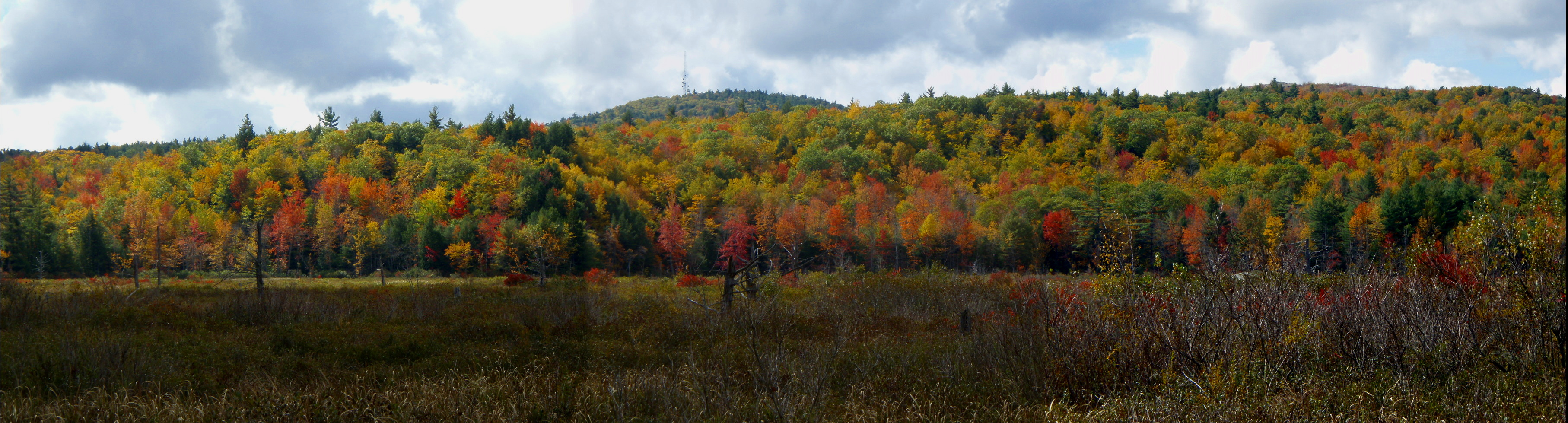
Blue Job (pano)
Topographic Map of Center Barnstead, Barnstead, NH, USA
Find elevation by address:

Places in Center Barnstead, Barnstead, NH, USA:
Places near Center Barnstead, Barnstead, NH, USA:
Barnstead
1309 Province Rd
280 Peacham Rd
29 Clough Rd
110 White Oak Rd
30 Bow Mills Rd
1595 Province Rd
692 Beauty Hill Rd
Clough Road
20 Forest Rd
120 Tilton Hill Rd
16 W Meadow Rd
24 Molly Ln
Pittsfield
Catamount Mountain
708 N Barnstead Rd
4 Sport Emery Rd
65 Ymca Rd
Strafford
261 Muchado Hill Rd
Recent Searches:
- Elevation of Corso Fratelli Cairoli, 35, Macerata MC, Italy
- Elevation of Tallevast Rd, Sarasota, FL, USA
- Elevation of 4th St E, Sonoma, CA, USA
- Elevation of Black Hollow Rd, Pennsdale, PA, USA
- Elevation of Oakland Ave, Williamsport, PA, USA
- Elevation of Pedrógão Grande, Portugal
- Elevation of Klee Dr, Martinsburg, WV, USA
- Elevation of Via Roma, Pieranica CR, Italy
- Elevation of Tavkvetili Mountain, Georgia
- Elevation of Hartfords Bluff Cir, Mt Pleasant, SC, USA