Elevation of Celtic Peak, Fraser-Fort George H, BC V0J, Canada
Location: Canada > British Columbia > Fraser-fort George > Fraser-fort George H >
Longitude: -119.53972
Latitude: 53.1791666
Elevation: 2927m / 9603feet
Barometric Pressure: 71KPa
Elevation Map:
Satellite Map:
Related Photos:

one foot
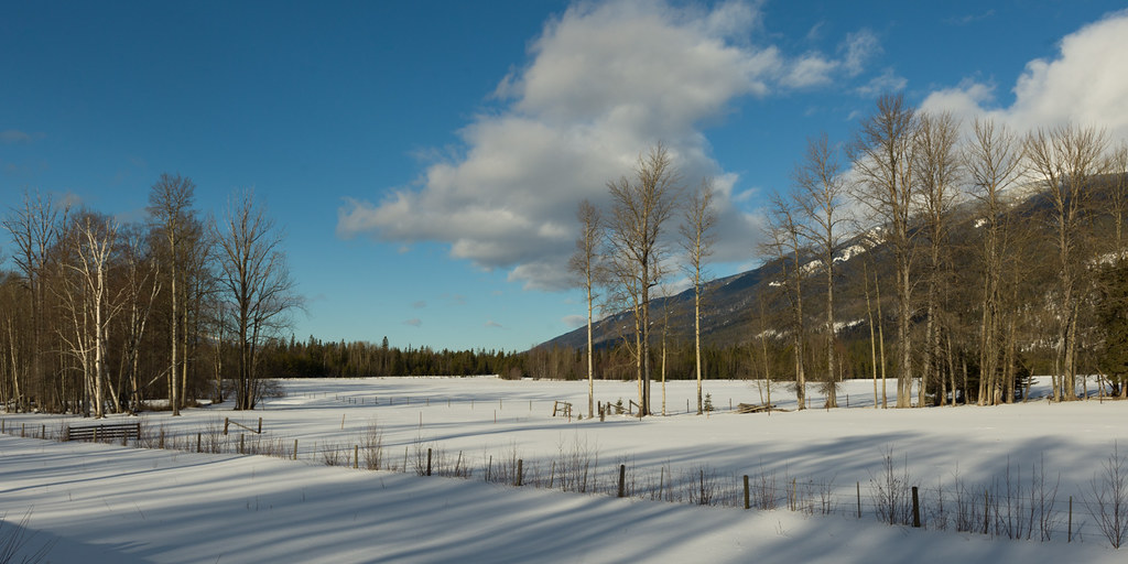
Highway 16 - British Columbia
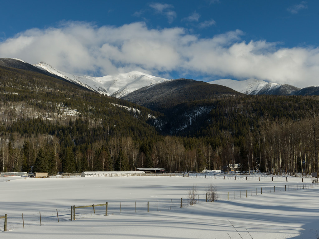
Highway 16 - British Columbia

The Team
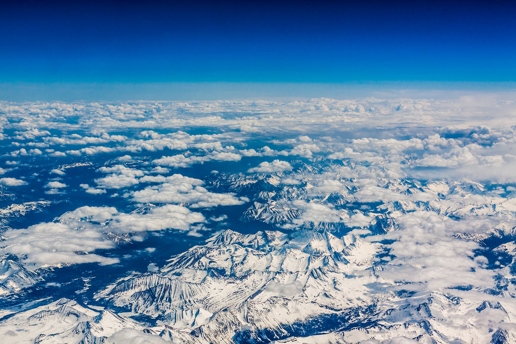
Canadian Rockies
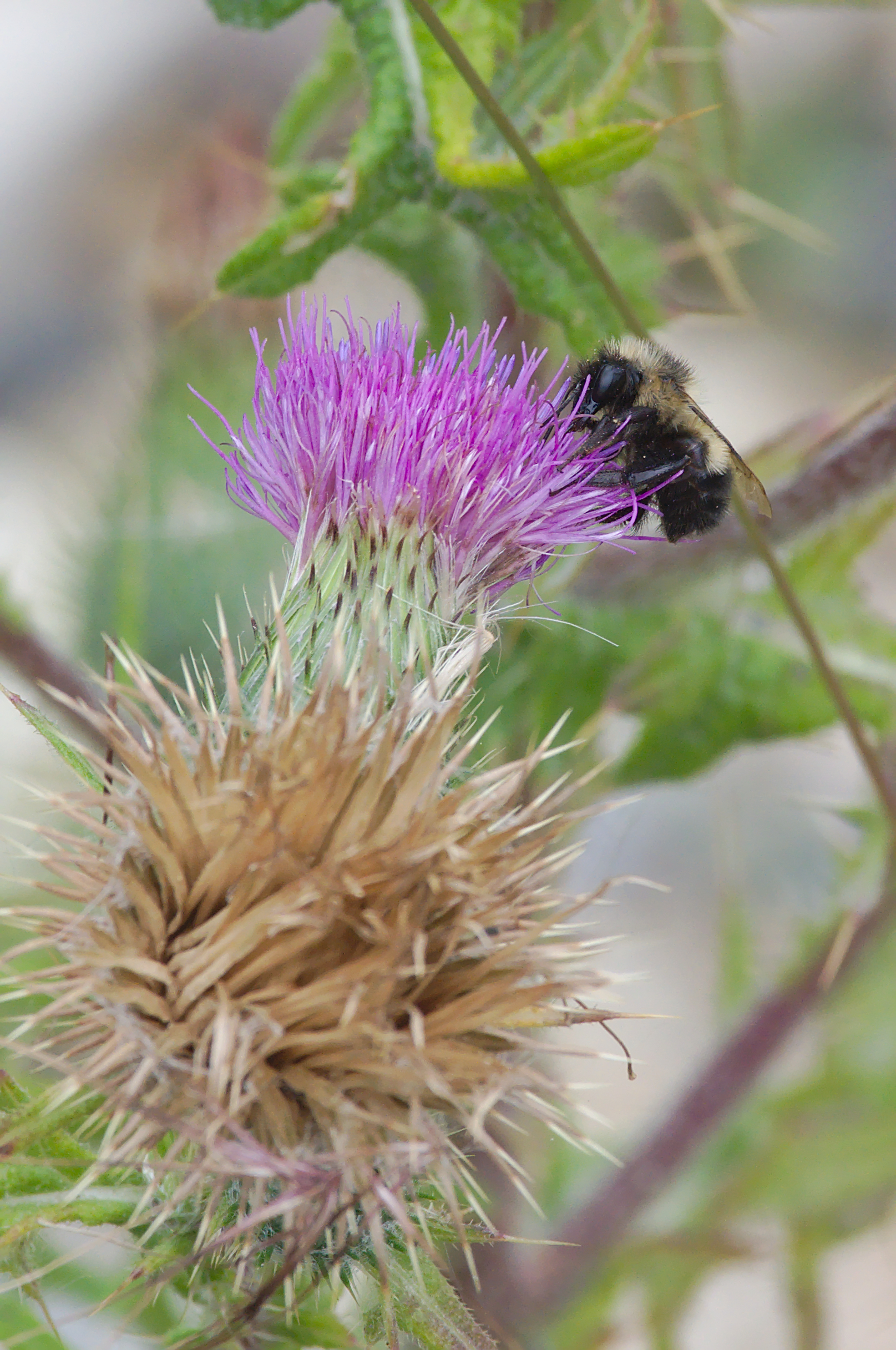
Half-black Bumblebee - Bombus vagans
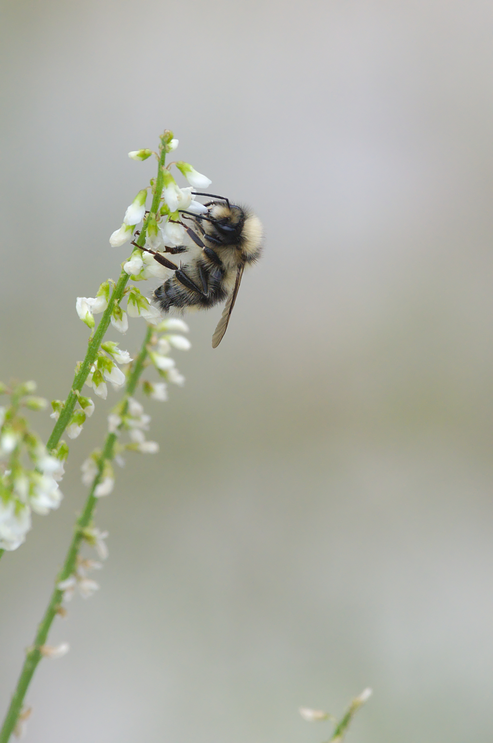
Two-form Bumblebee - Bombus bifarius
Topographic Map of Celtic Peak, Fraser-Fort George H, BC V0J, Canada
Find elevation by address:

Places near Celtic Peak, Fraser-Fort George H, BC V0J, Canada:
Mount Messer
Tindill Peak
Reel Peak
Fraser-fort George H
Chalco Mountain
Gaelic Peak
Vista Dome Peak
Mckale Peak
Mcbride
Mount Storrs
Millerite Peak
Wells Gray Provincial Park
Kristi Peak
Thompson-nicola A
Murtle Lake
Dasher Peak
Clearwater Lake
Vixen Peak
Insignia Peak
North Star Mountain
Recent Searches:
- Elevation of Corso Fratelli Cairoli, 35, Macerata MC, Italy
- Elevation of Tallevast Rd, Sarasota, FL, USA
- Elevation of 4th St E, Sonoma, CA, USA
- Elevation of Black Hollow Rd, Pennsdale, PA, USA
- Elevation of Oakland Ave, Williamsport, PA, USA
- Elevation of Pedrógão Grande, Portugal
- Elevation of Klee Dr, Martinsburg, WV, USA
- Elevation of Via Roma, Pieranica CR, Italy
- Elevation of Tavkvetili Mountain, Georgia
- Elevation of Hartfords Bluff Cir, Mt Pleasant, SC, USA