Elevation of Cedar St, Tipton, IA, USA
Location: United States > Iowa > Cedar County > Center > Tipton >
Longitude: -91.127653
Latitude: 41.7694708
Elevation: 252m / 827feet
Barometric Pressure: 98KPa
Elevation Map:
Satellite Map:
Related Photos:

Eye Oh Wah

Roadside Iowa: Purple, 110907

All wired up

Whatcha looking at?

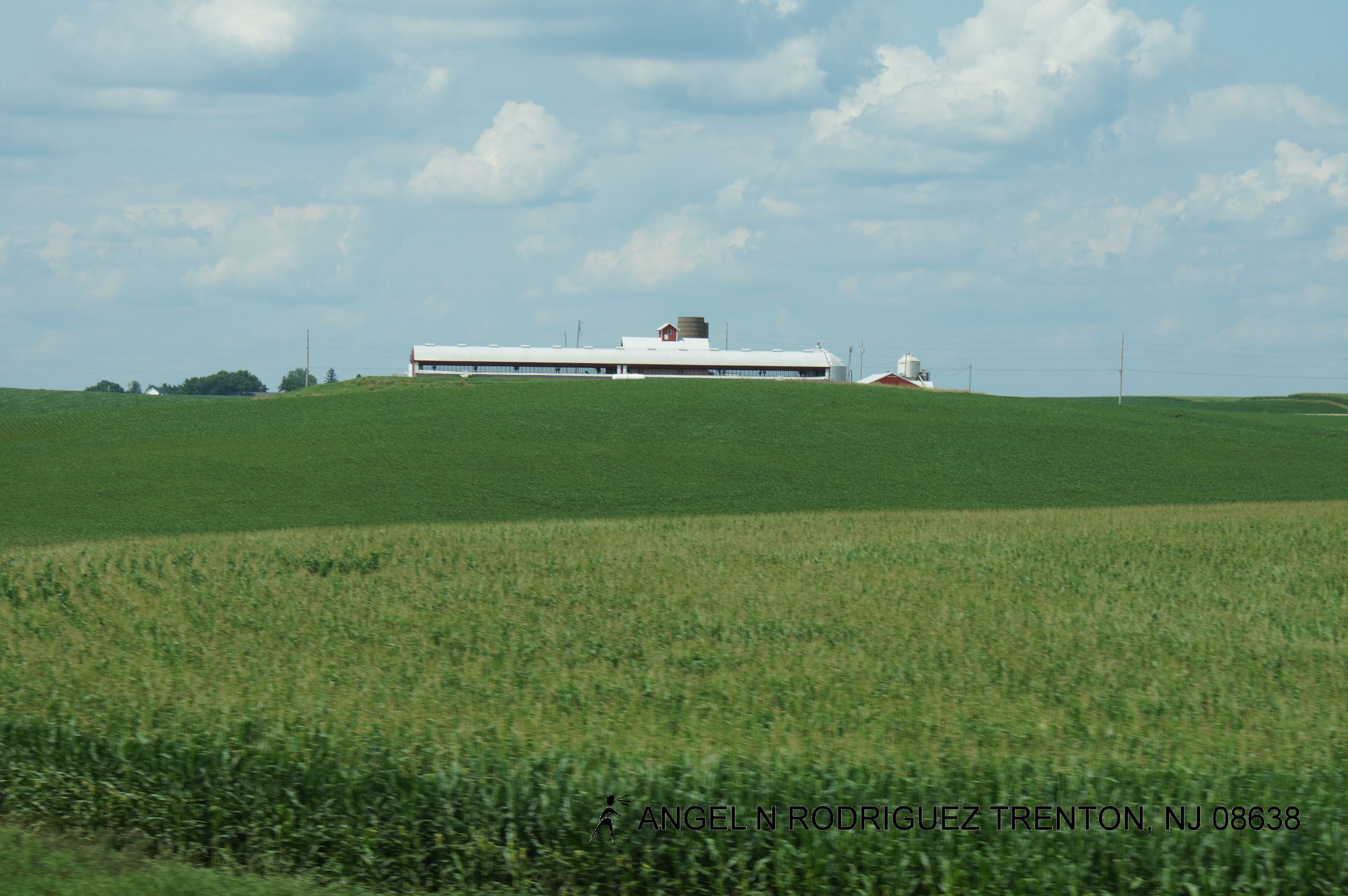
Herd of cows

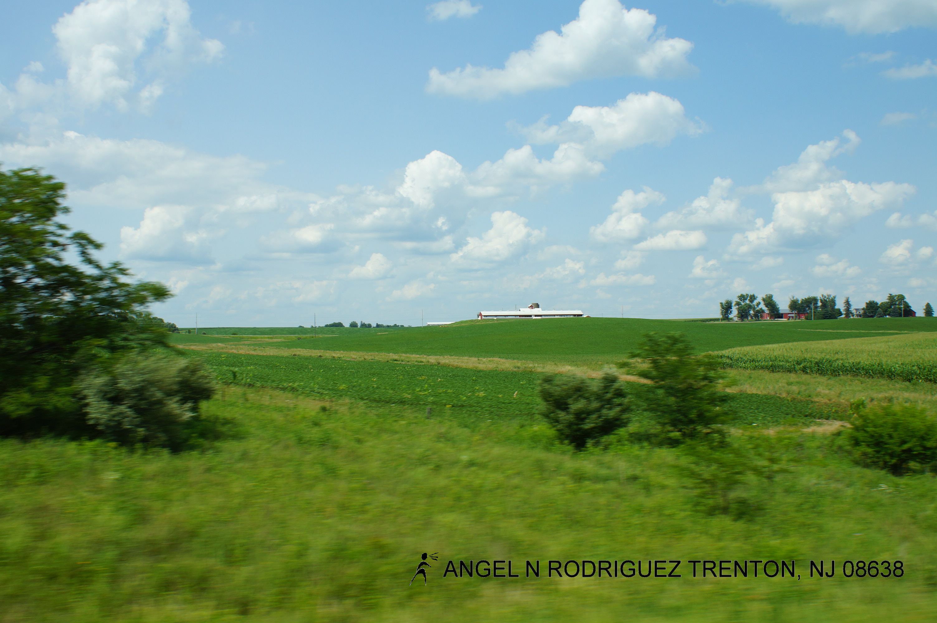
Iowa pastoral
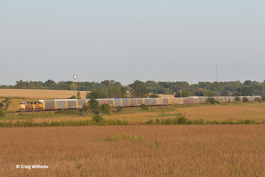
UP 5015 Westbound AGBNPB West of Standwood IA
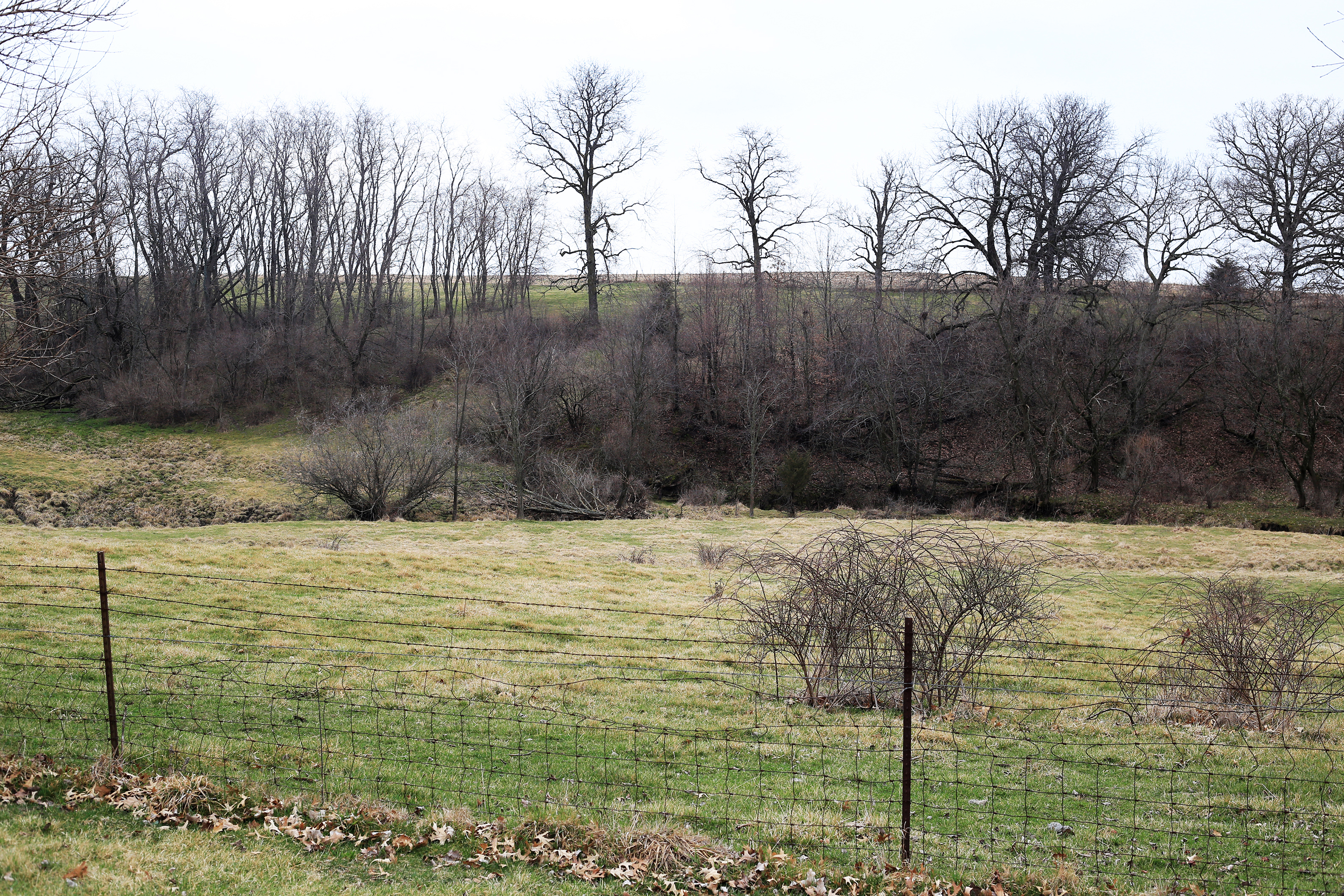
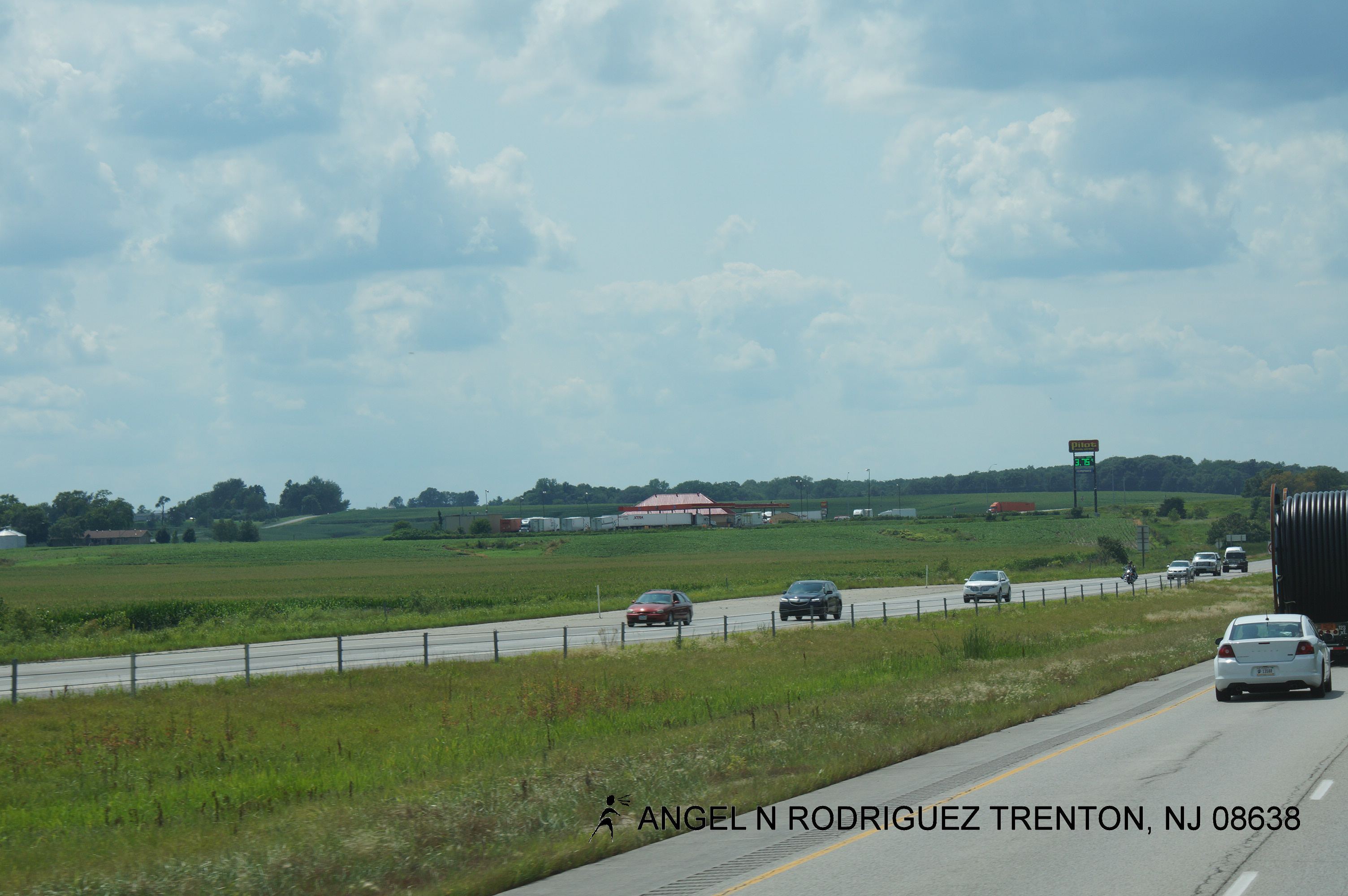
Iowa landscape
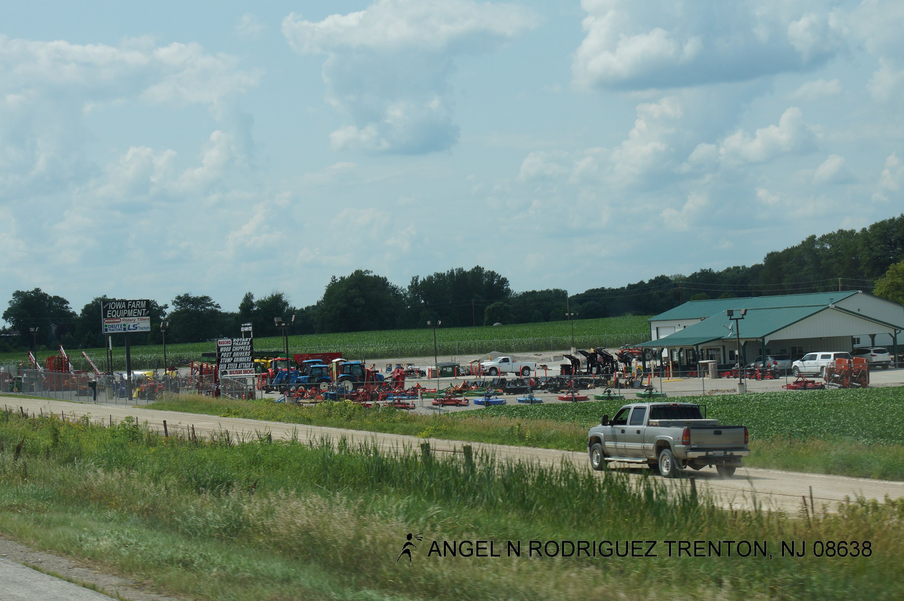
Roadtex pictures
Roadtex pictures

Roadtex pictures
Roadtex pictures
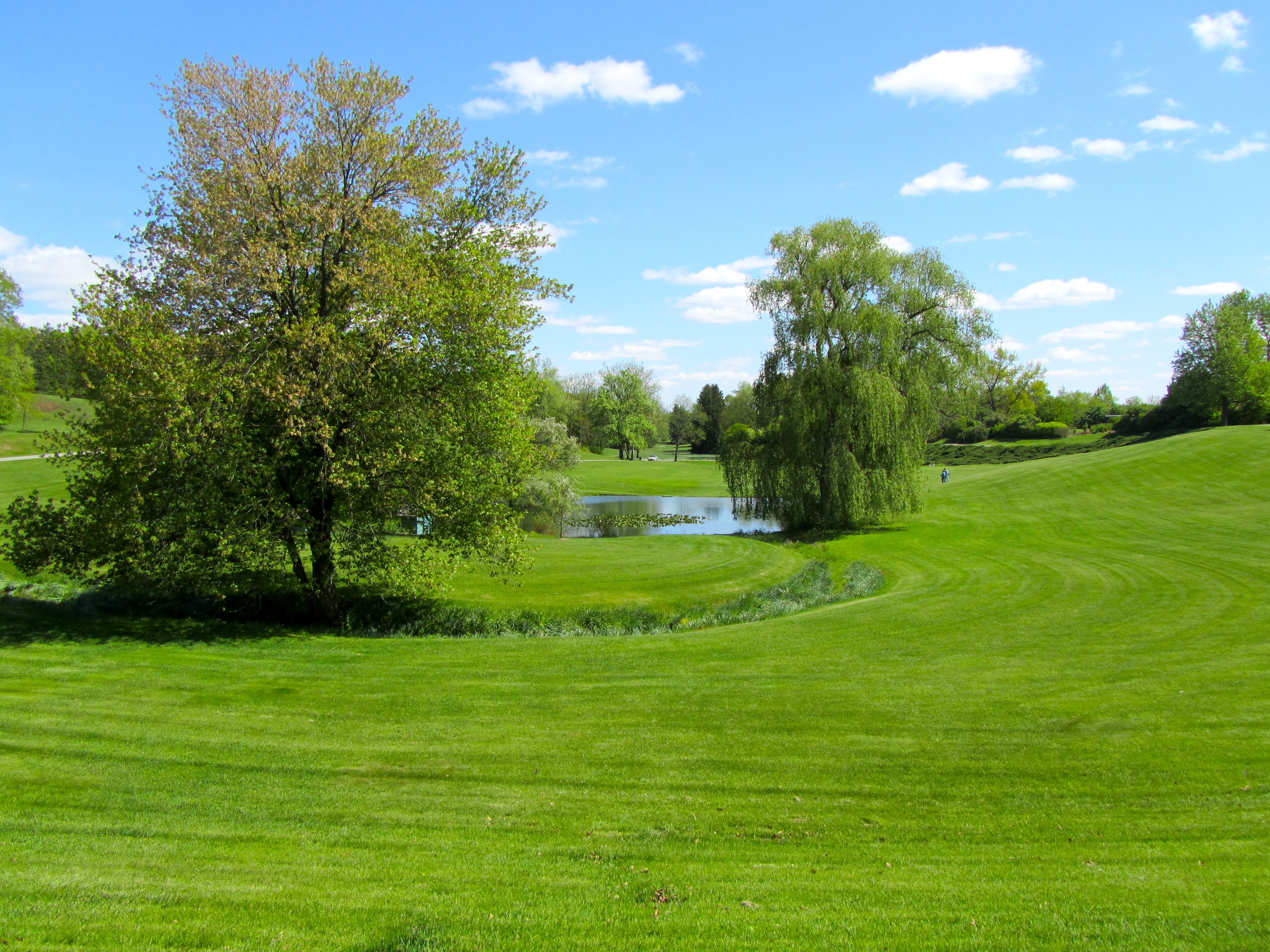
Hidden Gardens
Roadtex pictures
Roadtex pictures

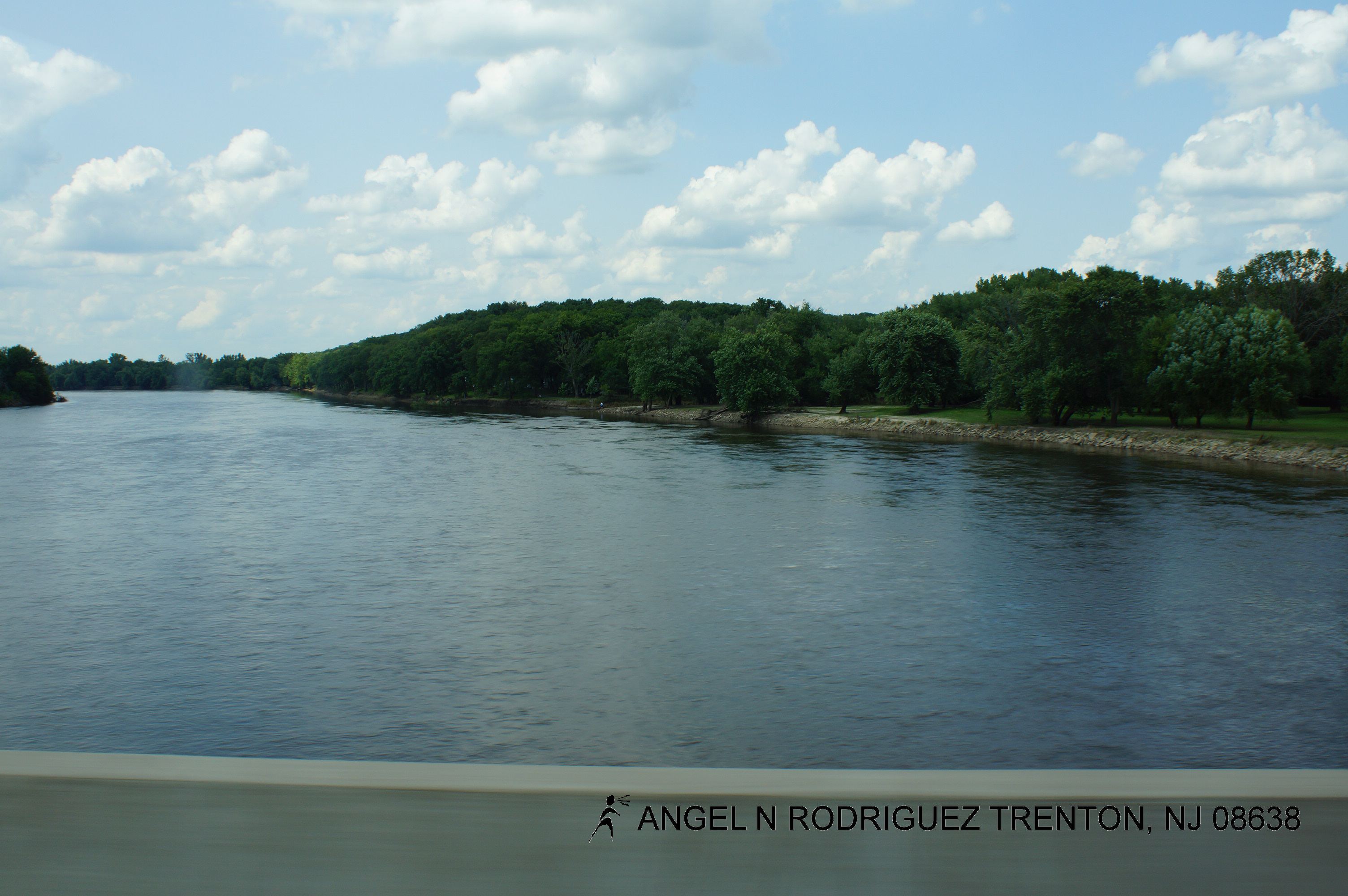
Cedar River Overflow
Topographic Map of Cedar St, Tipton, IA, USA
Find elevation by address:

Places near Cedar St, Tipton, IA, USA:
Tipton
Center
Tipton, IA, USA
Cedar County
E Broadway St, Stanwood, IA, USA
Stanwood
Dayton
Clarence
⛉ Industrial Park Dr, Clarence, IA, USA
Fremont
Bennett
3rd St, Bennett, IA, USA
Inland
Springfield
400 E South St
Plato Rd, West Branch, IA, USA
Gower
Moscow
Farmington
Moscow Rd, Moscow, IA, USA
Recent Searches:
- Elevation of Felindre, Swansea SA5 7LU, UK
- Elevation of Leyte Industrial Development Estate, Isabel, Leyte, Philippines
- Elevation of W Granada St, Tampa, FL, USA
- Elevation of Pykes Down, Ivybridge PL21 0BY, UK
- Elevation of Jalan Senandin, Lutong, Miri, Sarawak, Malaysia
- Elevation of Bilohirs'k
- Elevation of 30 Oak Lawn Dr, Barkhamsted, CT, USA
- Elevation of Luther Road, Luther Rd, Auburn, CA, USA
- Elevation of Unnamed Road, Respublika Severnaya Osetiya — Alaniya, Russia
- Elevation of Verkhny Fiagdon, North Ossetia–Alania Republic, Russia