Elevation of Cedar St, Elizabeth City, NC, USA
Location: United States > North Carolina > Camden County > Courthouse > Elizabeth City >
Longitude: -76.227384
Latitude: 36.3022229
Elevation: 1m / 3feet
Barometric Pressure: 101KPa
Elevation Map:
Satellite Map:
Related Photos:
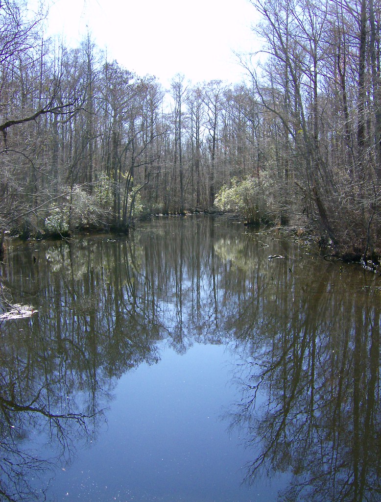
Sawyer's Creek
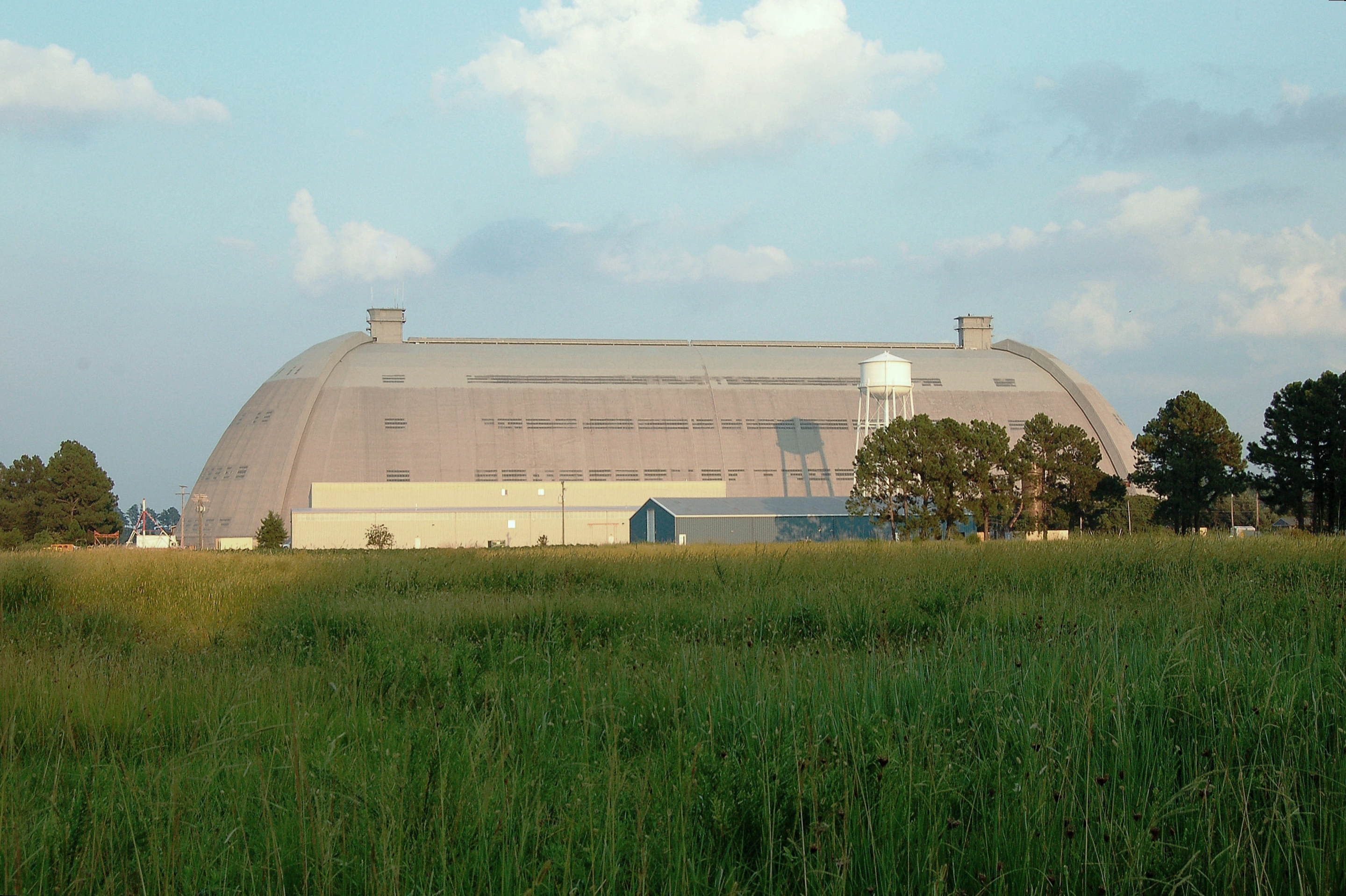
U. S. Navy, (former) Weeksville Naval Air Station- LTA , North Carolina, Pasquotank County

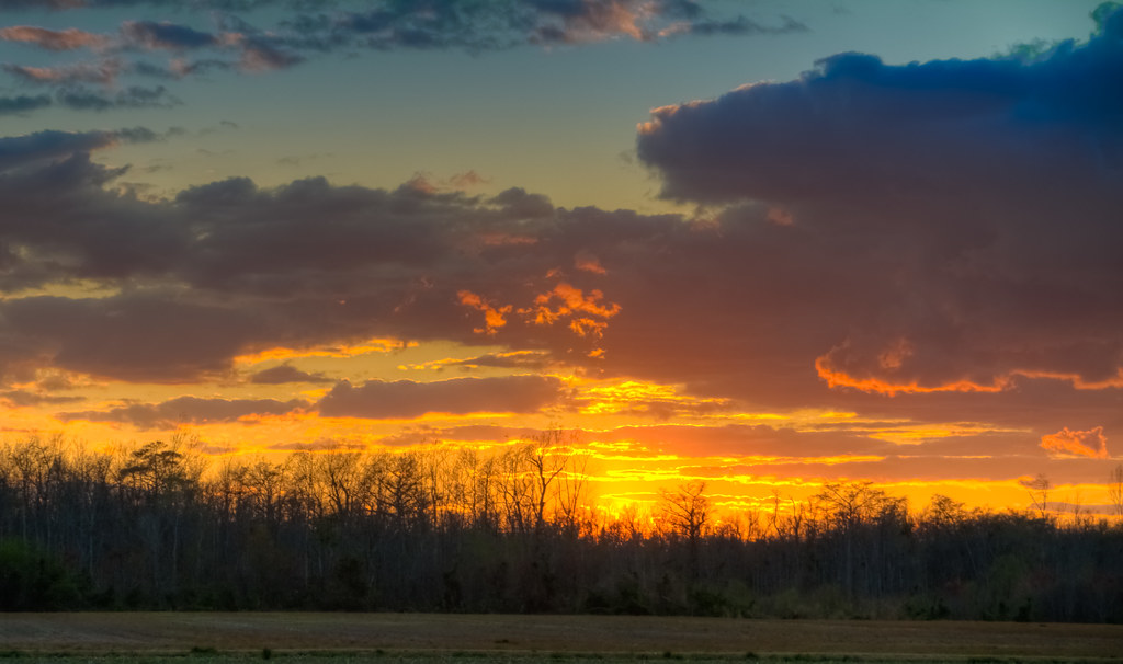
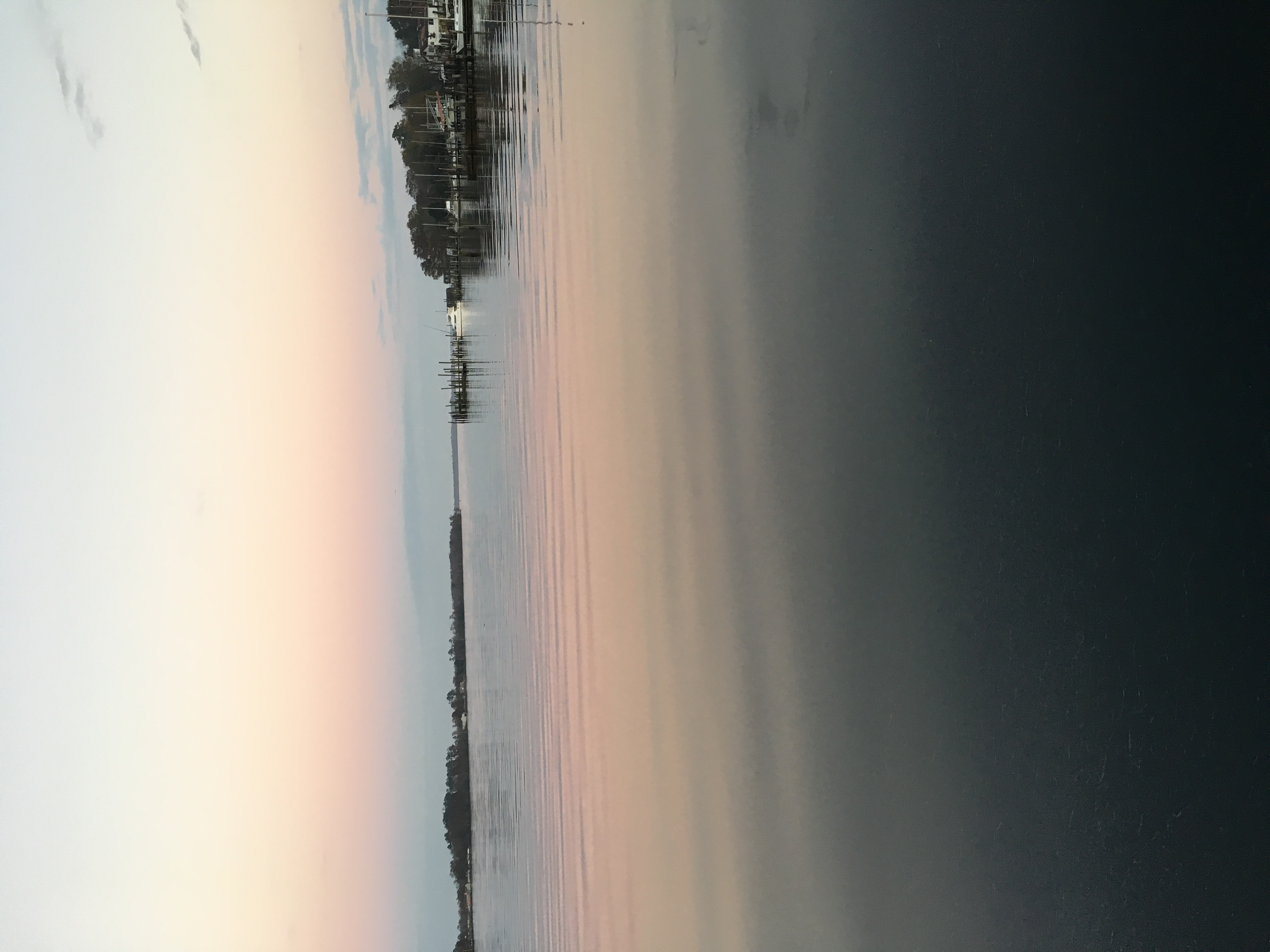
fishing at sunset

new life 4 28 2013 804
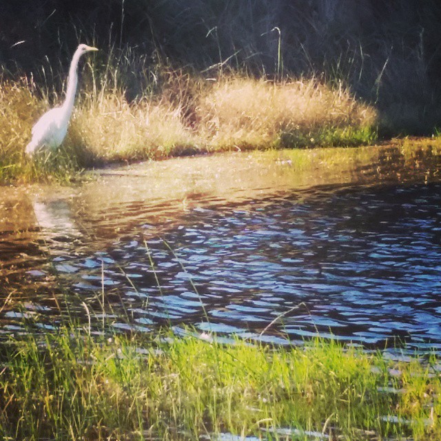
Egret at Cape Hatteras. #mayfair #OBX #latergram
_MG_4506_7_8_tonemapped-2.jpg
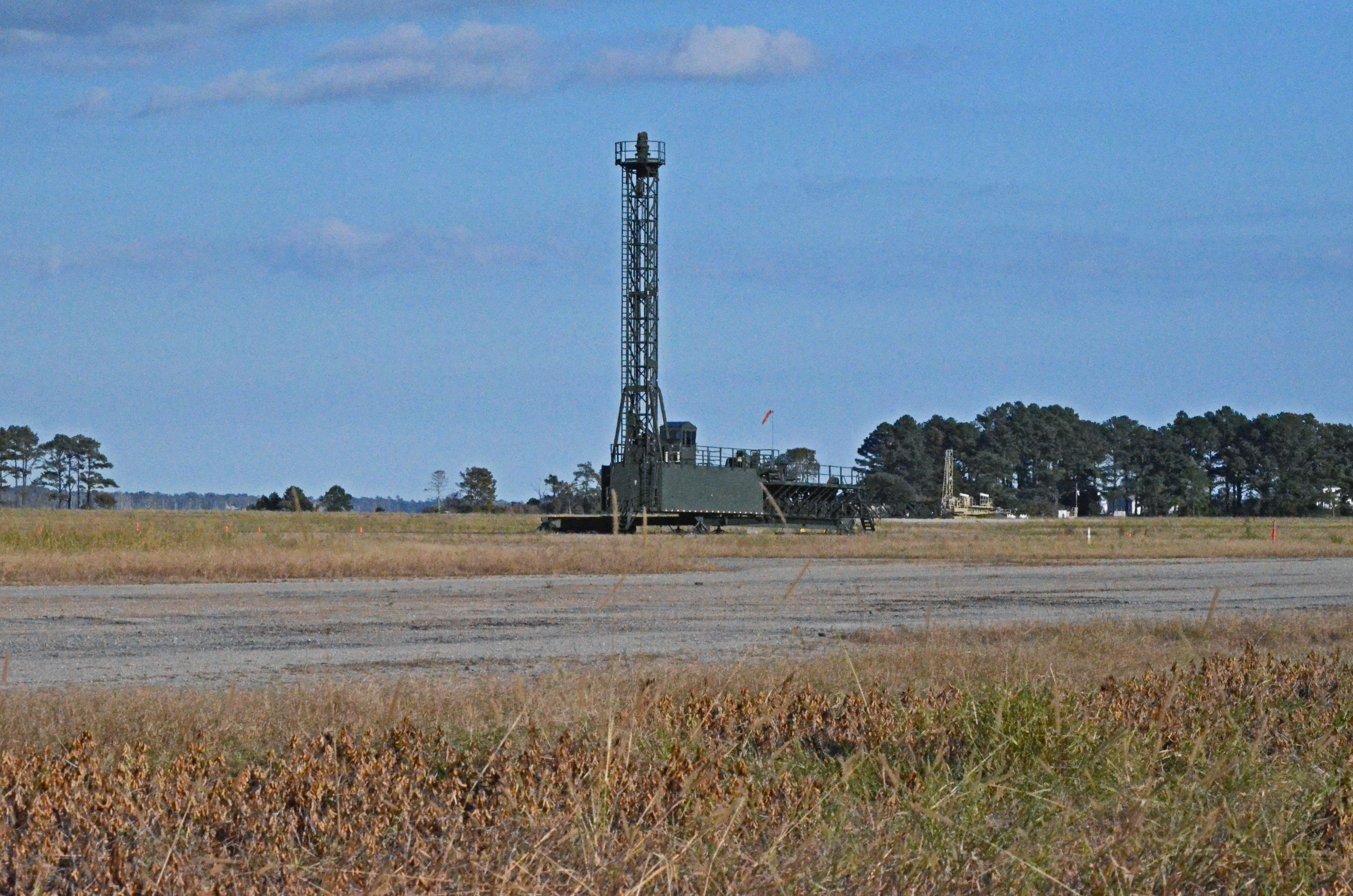
2013-10-26 Elizabeth City (5) derigible retrieval
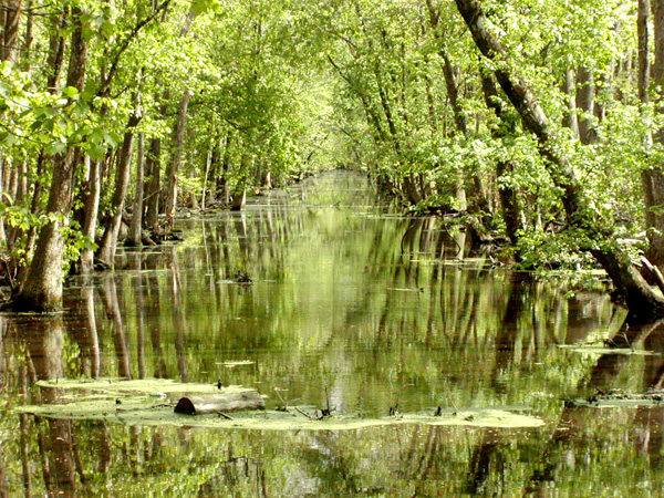
Great Dismal Swamp
Elizabeth City, NC

Elizabeth City, NC
.
.
Topographic Map of Cedar St, Elizabeth City, NC, USA
Find elevation by address:

Places near Cedar St, Elizabeth City, NC, USA:
602 W Colonial Ave
301 Culpepper St
100 E Elizabeth St
100 E Elizabeth St
100 E Church St
306 E Colonial Ave
205 S Griffin St
117 N Water St
117 N Water St
117 S Water St
1220 W Main St
North Poindexter Street
918 Greenleaf St
1209 W Church St
U.S. Hwy W, Camden, NC, USA
1500 W Church St
119 Bayberry Dr
144 Golf Club Dr
128 Birdie Ln
120 Dogwood Trail
Recent Searches:
- Elevation of Congressional Dr, Stevensville, MD, USA
- Elevation of Bellview Rd, McLean, VA, USA
- Elevation of Stage Island Rd, Chatham, MA, USA
- Elevation of Shibuya Scramble Crossing, 21 Udagawacho, Shibuya City, Tokyo -, Japan
- Elevation of Jadagoniai, Kaunas District Municipality, Lithuania
- Elevation of Pagonija rock, Kranto 7-oji g. 8"N, Kaunas, Lithuania
- Elevation of Co Rd 87, Jamestown, CO, USA
- Elevation of Tenjo, Cundinamarca, Colombia
- Elevation of Côte-des-Neiges, Montreal, QC H4A 3J6, Canada
- Elevation of Bobcat Dr, Helena, MT, USA