Elevation of Cedar Rapids, NE, USA
Location: United States > Nebraska > Boone County > Cedar >
Longitude: -98.144508
Latitude: 41.560013
Elevation: 538m / 1765feet
Barometric Pressure: 95KPa
Elevation Map:
Satellite Map:
Related Photos:
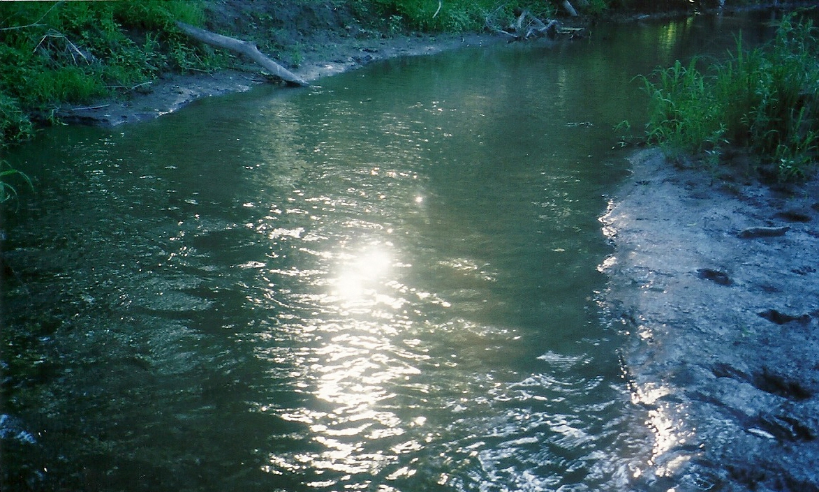
Muddy Water
20160429 101029 1SL6
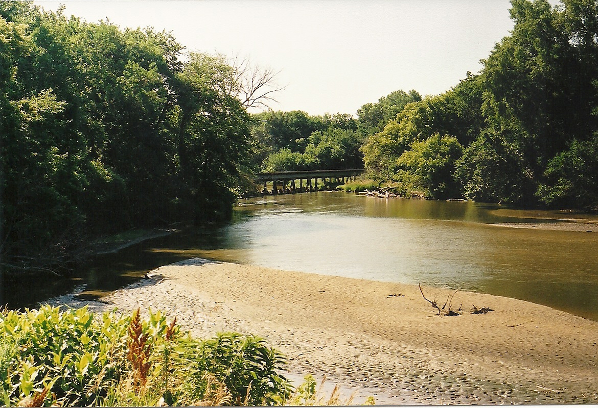
River Beach
20160429 100418 1SL6

20160429 100410 1S
20160429 092847 1SL6
20160429 100244 1SL6

20160429 100443 1SL6
20160429 093024 1SL6
20160429 093041 1SL6

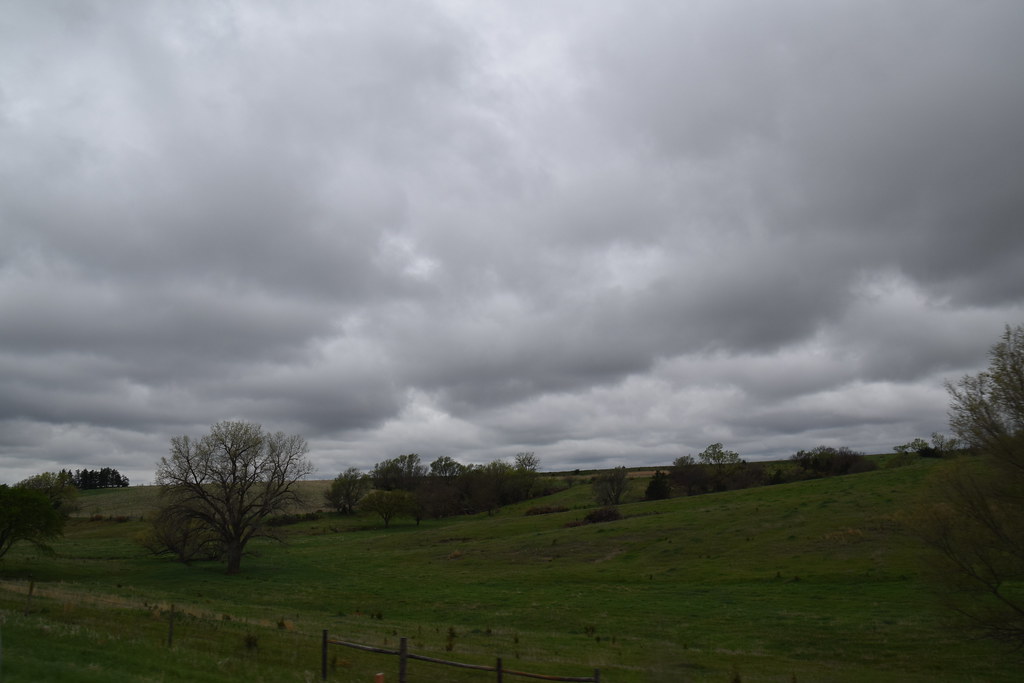
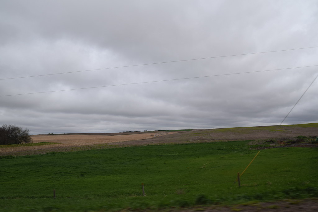
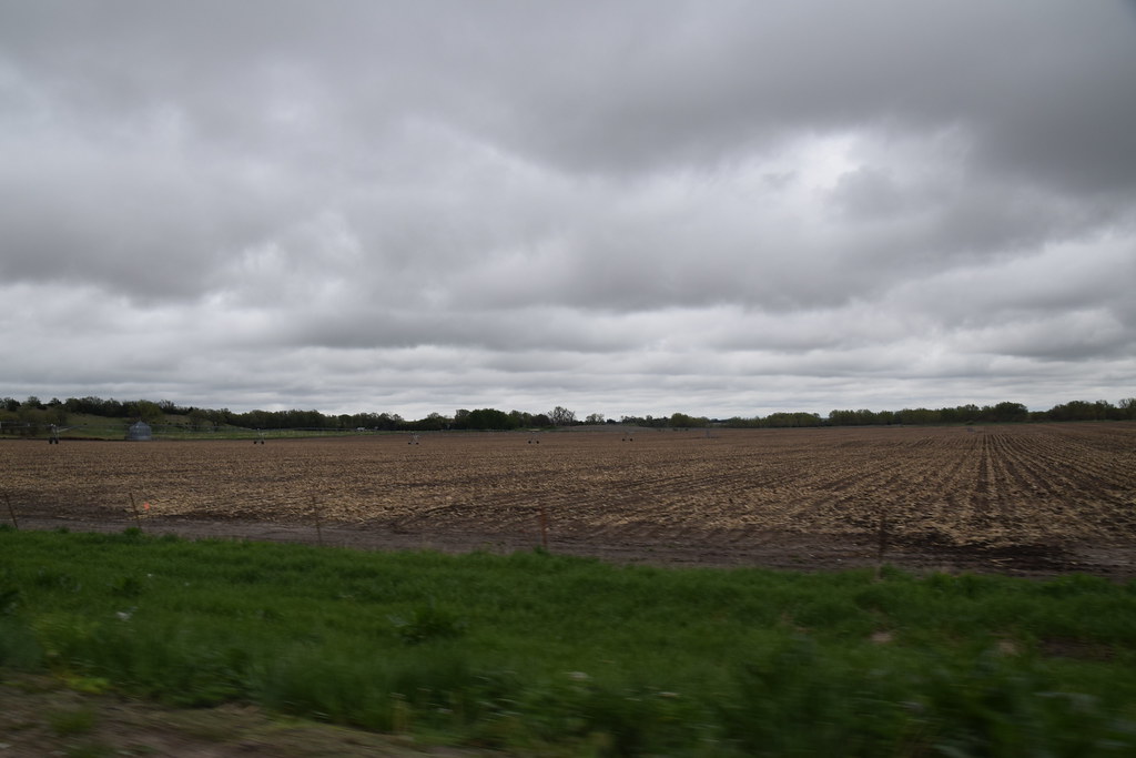
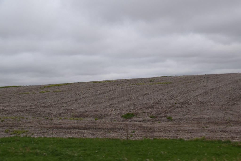
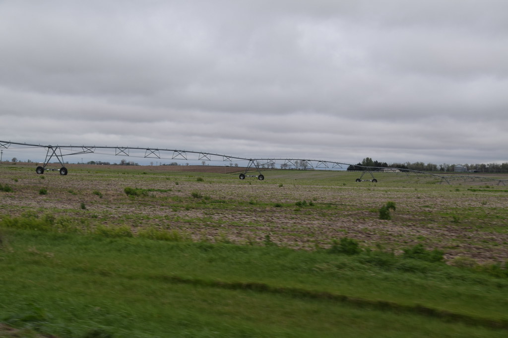
Central Nebraska Landscape (Boone County, Nebraska)
Topographic Map of Cedar Rapids, NE, USA
Find elevation by address:

Places near Cedar Rapids, NE, USA:
213 Ne-56
Cedar
Boone County
Nebraska 91
Southeast Manchester
Merrick County
Newman Grove
Genoa
Shell Creek
St. Paul
Central City
Lone Tree
Lindsay
Bader Drive
Prairie Creek
Worms Rd, St Libory, NE, USA
St. Bernard
Grigsby Ron
Riverside Park
120 Timbercove Rd
Recent Searches:
- Elevation of Woodland Oak Pl, Thousand Oaks, CA, USA
- Elevation of Brownsdale Rd, Renfrew, PA, USA
- Elevation of Corcoran Ln, Suffolk, VA, USA
- Elevation of Mamala II, Sariaya, Quezon, Philippines
- Elevation of Sarangdanda, Nepal
- Elevation of 7 Waterfall Way, Tomball, TX, USA
- Elevation of SW 57th Ave, Portland, OR, USA
- Elevation of Crocker Dr, Vacaville, CA, USA
- Elevation of Pu Ngaol Community Meeting Hall, HWHM+3X7, Krong Saen Monourom, Cambodia
- Elevation of Royal Ontario Museum, Queens Park, Toronto, ON M5S 2C6, Canada