Elevation of Cedar Pine Ln, Green Valley Lake, CA, USA

Location: United States > California > San Bernardino County > Green Valley Lake >

Longitude: -117.06715

Latitude: 34.2422302

Elevation: 2135m / 7005feet

Barometric Pressure: 78KPa

Elevation Map:

elevation map of Cedar Pine Ln, Green Valley Lake, CA, USA

Satellite Map:

Satellite map of Cedar Pine Ln, Green Valley Lake, CA, USA

Related Photos:

california sunset mist mountains green clouds landscape nikon hills arrowhead sanbernardino rimoftheworld jameshale jimhale shutterjack
Islands in the Mist
aerial aerialview california commercialflight flight houstontolosangeles iahtolax mountain ridge slidecreek united unitedairlines vacation vacationdestination windowseat zeesstof
Erosion Scar [EXPLORED 5/26/17 - highest position #327]
autumn orange green nature colors clouds canon landscape outdoors view scenic bluesky canyon powershot hills valley southerncalifornia bigbear s100 inlandempire sanbernardinonationalforest sanbernardinomountains highway18
Turn of the Seasons
nikon san running springs d200 bernardino 2870mmf28d aplusphoto flickrlovers
A Mixture of Fog and Clouds
sevenoaksdam santaanariver
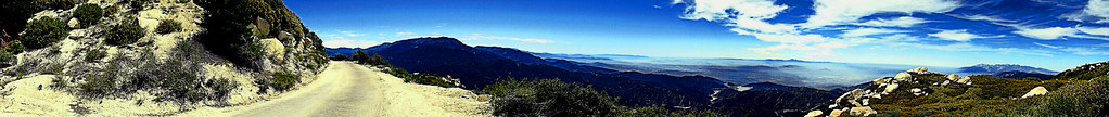
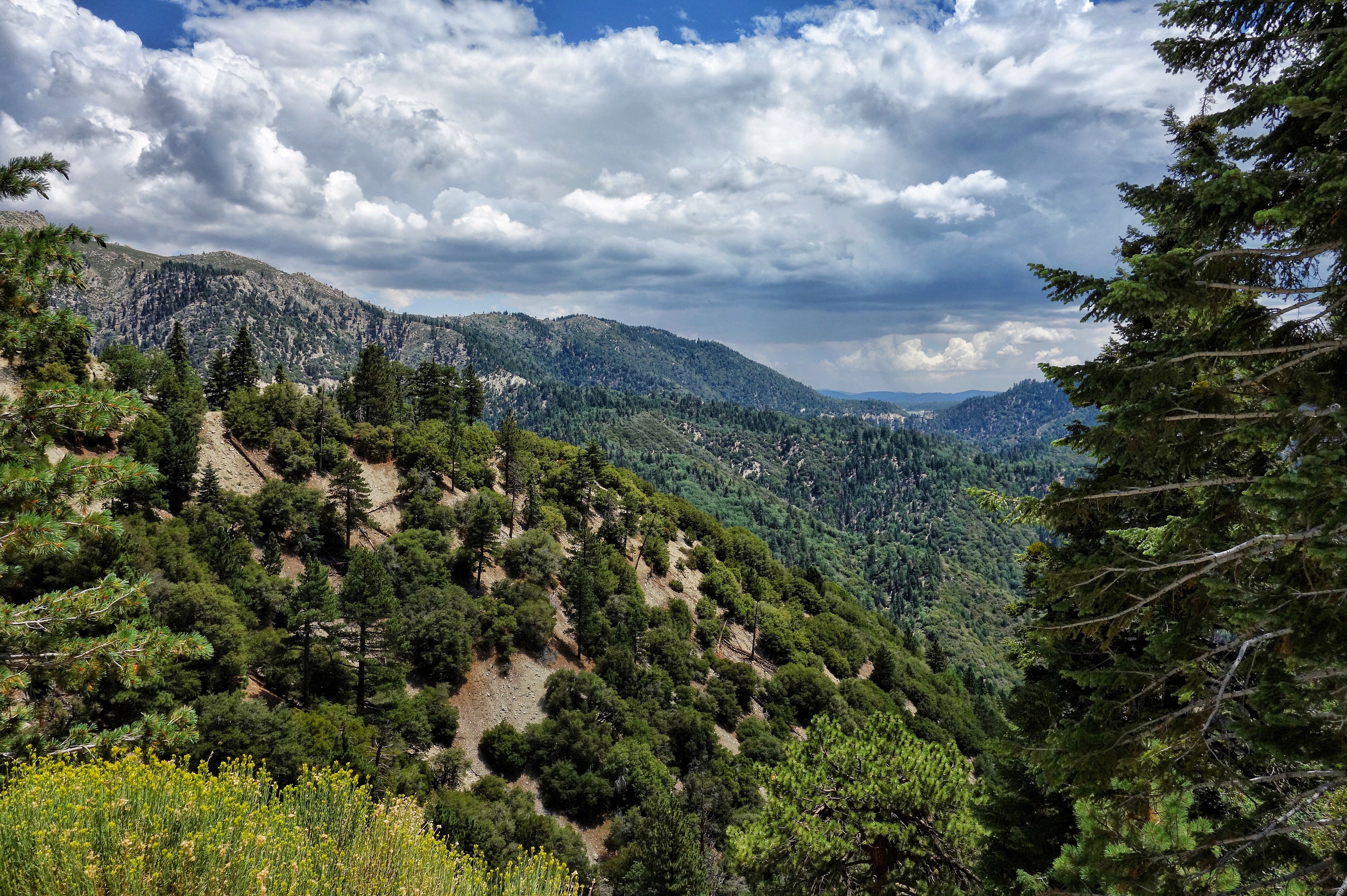
San Bernardino Valley
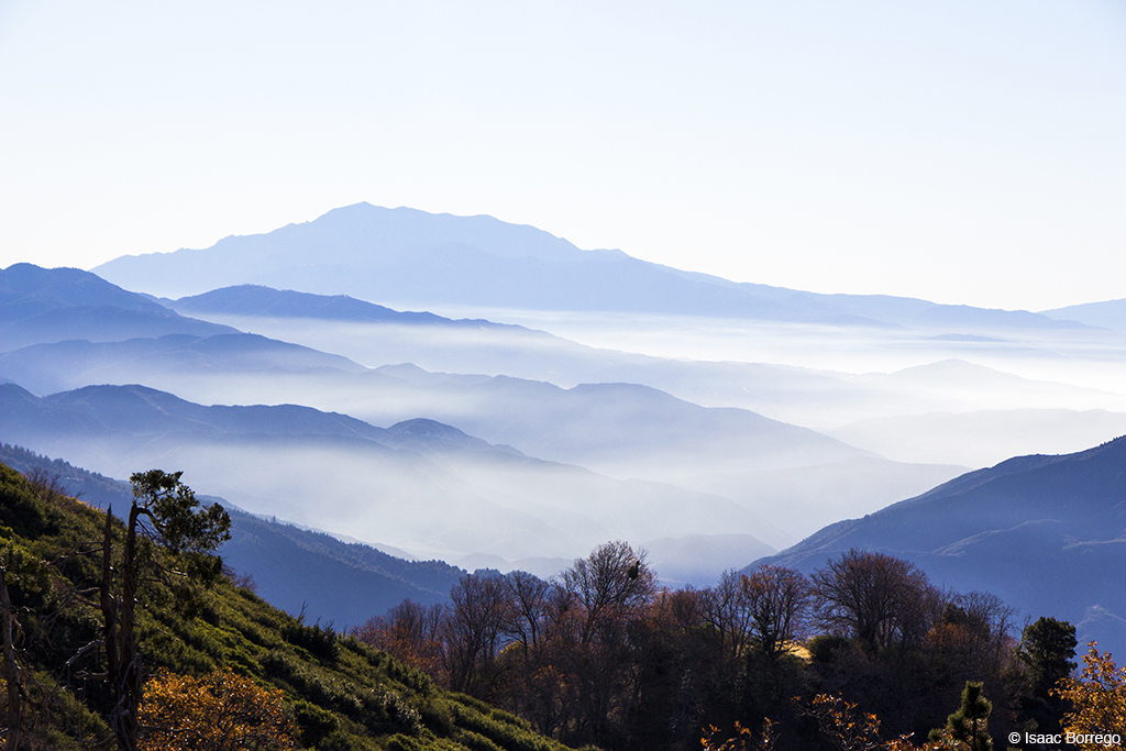
nikon san running springs d200 bernardino 2870mmf28d flickrlovers “nikonflickraward”
Above the Clouds
aerial aerialview california commercialflight dam flight governmentcanyon houstontolosangeles iahtolax river santaanariver sevenoaksdam united unitedairlines vacation vacationdestination windowseat zeesstof
7 Oaks Dam
2003 california road bear camera blue sky cloud white lake 3 mountains tree classic yellow pine clouds point big lomo highway tour tank view boots pov air cluster go helmet bat wing perspective battery gas harley mount made american hero instrument oil motorcycle pro remote hd dashboard temperature pegs pressure hog davidson gauge ultra touring fuel gauges voltage fairing windsheild gopro goprohelmet goproonmotorcycle goproonbike goproharley goproonaharley
GoPro Harley - Big Bear Ride - gopro
sevenoaksdam santaanariver
Santa Ana River Valley
sevenoaksdam santaanariver
Seven Oaks Dam
california snow mountains lumix panasonic socal southerncalifornia sanbernardino dmczs50
San Bernardino Mountains
nikon san running springs d200 bernardino 2870mmf28d aplusphoto flickrlovers
Thanksgiving Sunset HDR
eddy lair eddylair westpark9
View From Work
shadow green nature canon landscape outdoors view scenic nationalforest vegetation 5d geography geology southerncalifornia folds markii chaparral topography inlandempire sanbernardinomountains transverserange
Green Topographic
california travel blackandwhite tree weather clouds landscape photography us nikon unitedstates lucernevalley sanbernardinocounty d7100
Black and White Desert View - San Bernardino National Forest, CA, USA
ocean sunset beach searchthebest sunsets pacificocean orangecounty runningsprings sanbernardinocounty rimoftheworld sanbernardinonationalforest
The Distant Pacific
city longexposure night canon landscape outdoors lights view scenic nationalforest nighttime 5d southerncalifornia markii inlandempire sanbernardinomountains transverserange
Nighttime over the Inland Empire
aframe californiastateroute189 fastfood lakearrowhead restaurant rimcities rimcommunities rimoftheworld sanbernardinocounty sanbernardinomountaincommunities sanbernardinomountains sanbernardinonationalforest socal
McDonald's - Blue Jay, California U.S.A. - Front Lawn
aframe californiastateroute189 fastfood lakearrowhead restaurant rimcities rimcommunities rimoftheworld sanbernardinocounty sanbernardinomountaincommunities sanbernardinomountains sanbernardinonationalforest socal
McDonald's - Blue Jay, California U.S.A. - Dining Room Entrance [1/2]
sanbernardinonationalforest california photo digital summer panorama mountains forest bigbearlake
Lake View Point, SBNF
sanbernardinonationalforest arrowbear kellerpeak california landscape panorama mountains haze road backroad boulders
Keller Peak Road and View, SBNF
california sanbernardinomountains topoftheworldhighway
Top of the World Highway, California
morning camping mountain fern tree nature pine forest dawn twilight nikon floor pacific smoke summit rays dogwood goldenhour crepuscular sanbernardino treadlightly angellight jameshale jimhale shutterjack
Beauty from Ashes
raymondchandler bigbearlake california
Big Bear Lake, Ca
sanbernardinonationalforest arrowbear california kellerpeak panorama mountains foothills canyon rockpile boulders clouds keysdam alpine landscape haze inversionlayer sanbernardinovalley
Santa Ana River Canyon, SBNF
winter sky snow nature weather outdoors december view scenic explore peaks southerncalifornia bigbear sanbernardinocounty sanbernardinonationalforest sanbernardinomountains
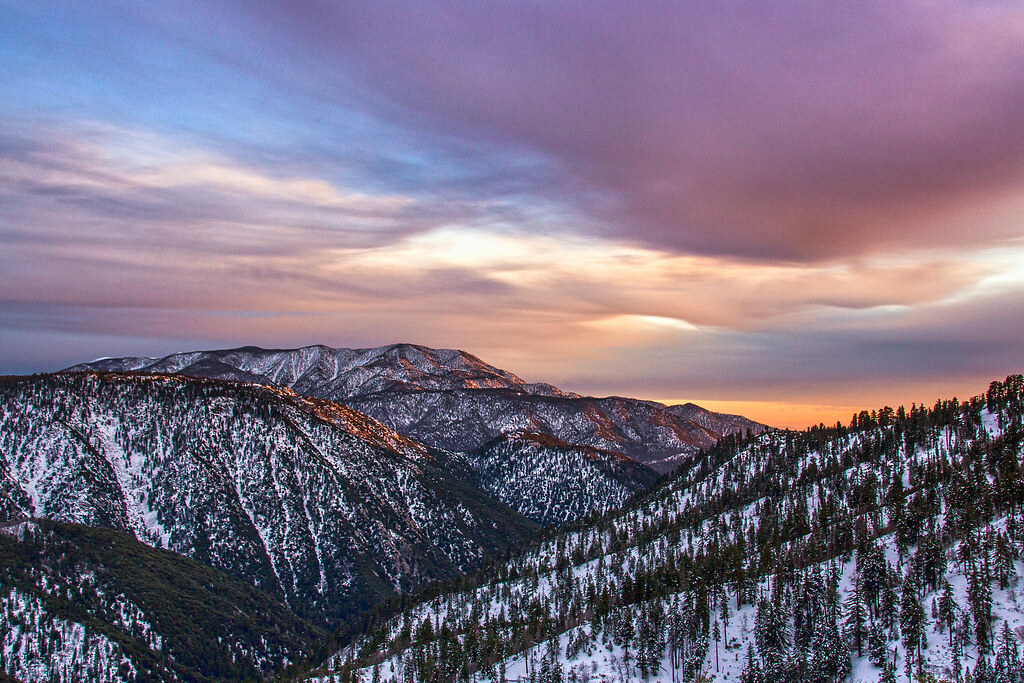
Winter Sky, San Bernardino Mountains [Explored]
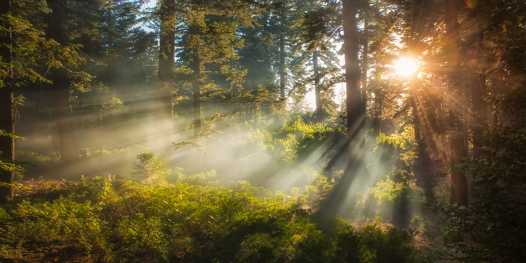
california deepcreek hotsprings deepcreekhotsprings
Morning Creek
square squareformat iphoneography instagramapp uploaded:by=instagram foursquare:venue=4c37b02d2c8020a105838900
San Bernardino National Forest, California
lakearrowhead california unitedstates us canon clouds sunset travel
Sunset over Lake Arrowhead
lakearrowhead sanbernardinomountains lakes lakearrowheadvillage dgrahamphoto summer usa landscapes lakescenes carousel carouselhorse childhoodmemories childlike
Carousel Memories, Lake Arrowhead, CA 2017
bigbear bigbearlake sanbernardino sanbernardinonationalforest
#bigbear #bigbearlake #sanbernardino #sanbernardinonationalforest
california longexposure sky usa mountain plant lightpainting color green water grass rock night montagne plante river iso800 star nikon outdoor vert ciel 24mm nikkor hotspring nuit couleur herbe fleuve lightroom f50 sanbernardinocounty longueexposition 300sec nikond700 lucasjanin afsnikkor2470mmf28ged lightroom4
Waterfall of Light
sanbernardinonationalforest california photo digital summer mountains chaparral forest conifers pines landscape
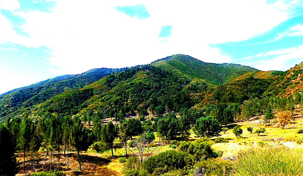
Harrison Mountain, SBNF
canon rebel xsi canyonreflections deepcreek california reflections desert unitedstates america usa
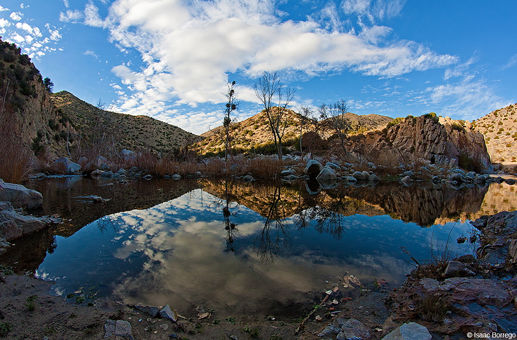
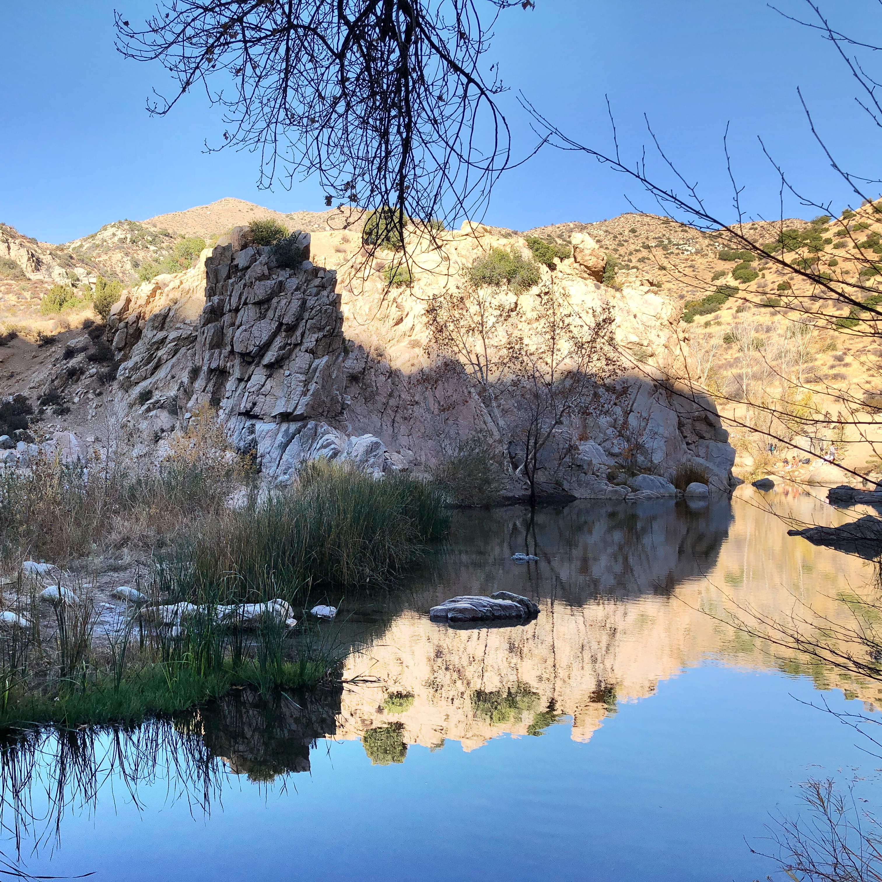
Canyon Reflections - Deep Creek, California
california sunset mountain forest landscape smog dusk photomerge 28 sanbernadino urbanlimit a 77 son y 1650m m
San Bernardino city and National Forest
california winter snow tree pine landscape nikon cityscape runningsprings sanbernardinocounty nikond3000 kerrinikolephotography
Rim of the World
winter sunset sky nature ecology weather clouds landscape outdoors flora hiking january vegetation southerncalifornia recovery lakearrowhead sanbernardinocounty sanbernardinonationalforest sanbernardinomountains fireecology littlebearcreek cedarfire2003 3n12
All that Remains [Explored]
clouds fog mountains trees sky blue rimoftheworldhighway lakearrowhead california canonrebelt4i unitedstates america usa losangeles
On the Rim of the World