Elevation of Cedar, IA, USA
Location: United States > Iowa > Benton County >
Longitude: -92.105754
Latitude: 42.256422
Elevation: 264m / 866feet
Barometric Pressure: 98KPa
Elevation Map:
Satellite Map:
Related Photos:
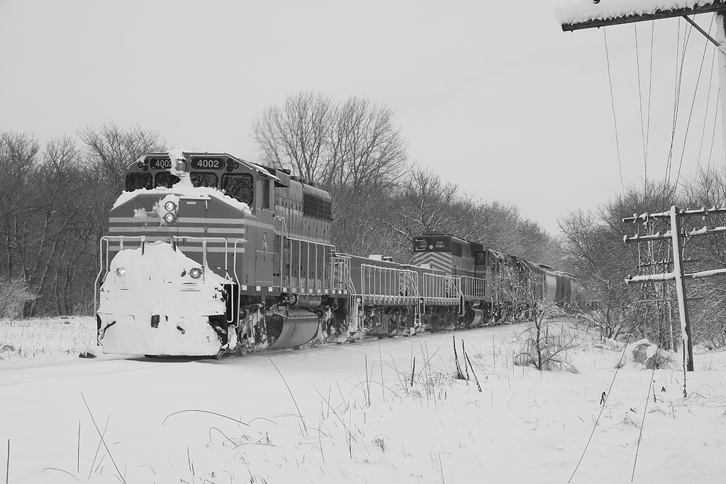
ianrF4002BW

The Lazy Summer Days of 2013
Read Between the Lines
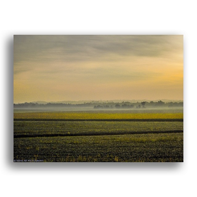
I missed Midwest storm landscapes. #Storms #Iowa #Landscapes #Farms
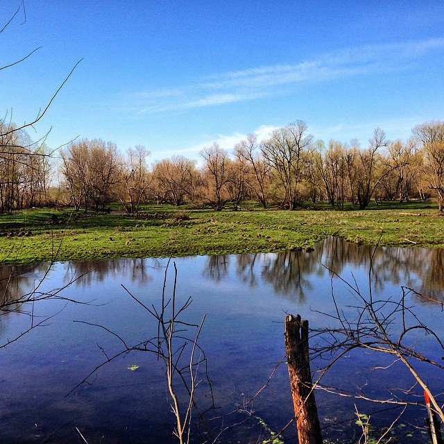
Pond 2

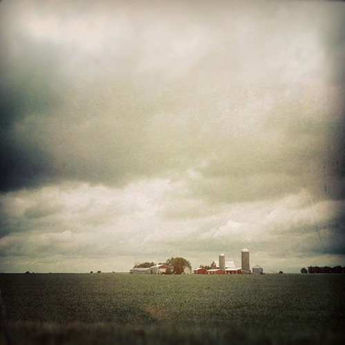
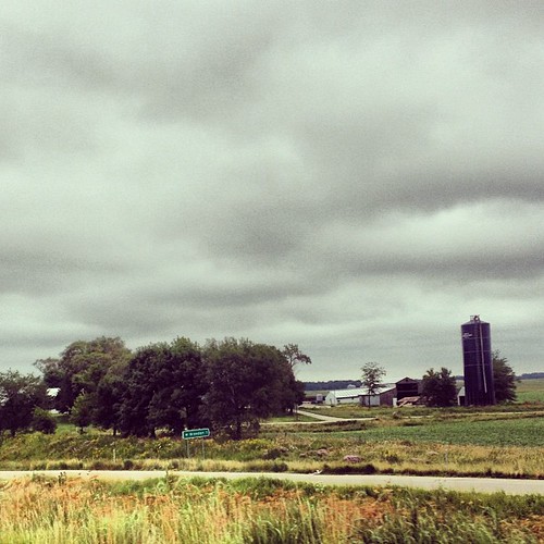
Landscape of Plenty

Cedar River, Late Summer
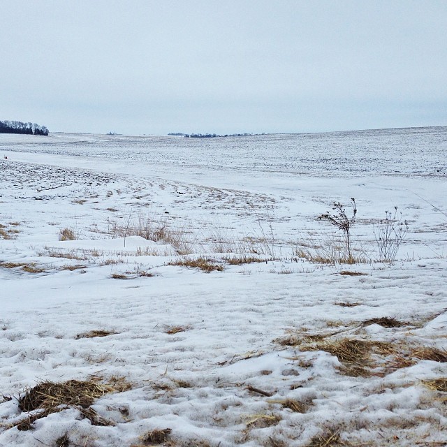
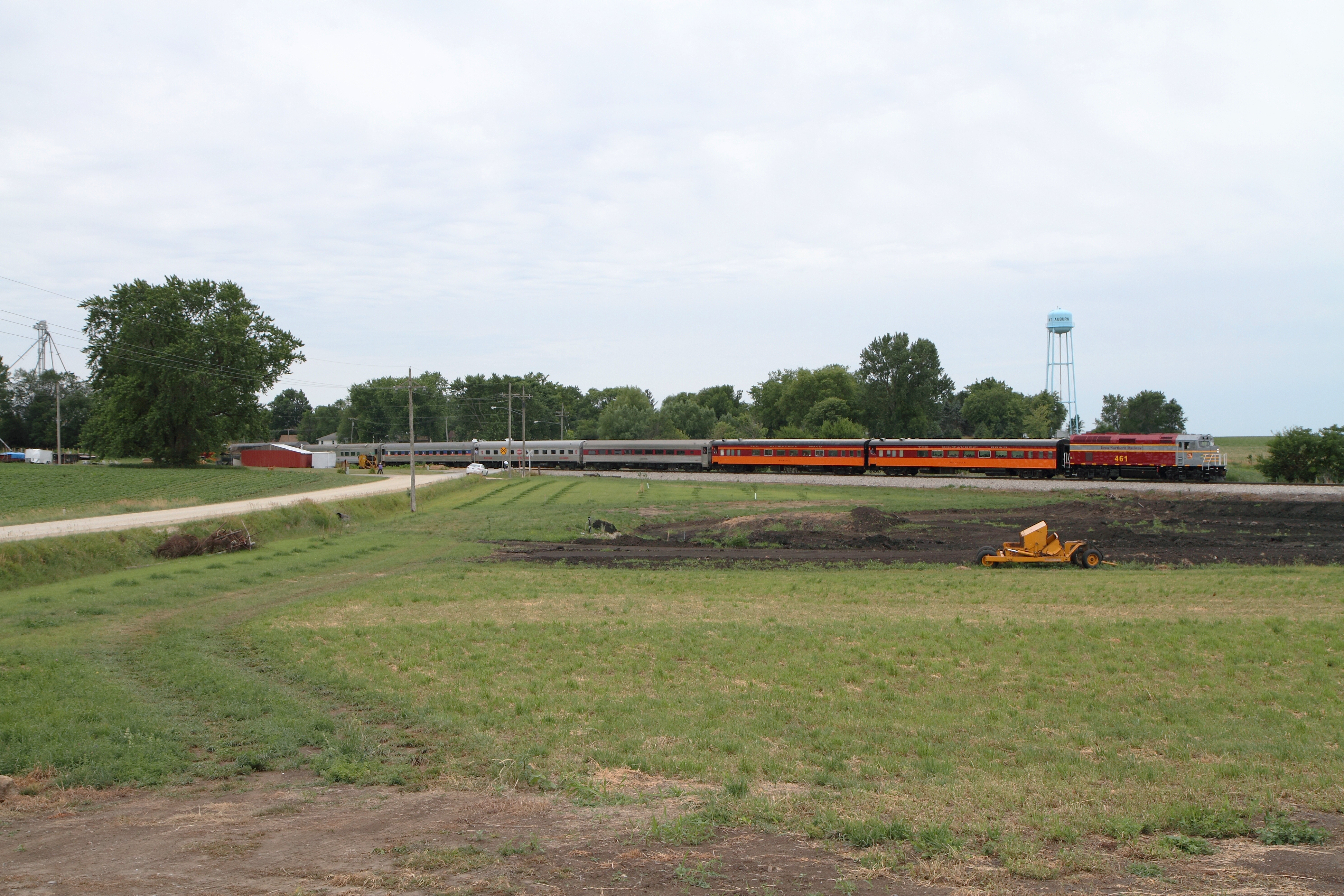
Iowa in Winter
Who knew Iowa would be so lovely? #triptonowhere #roadtrip #travel #iphoneonly
Topographic Map of Cedar, IA, USA
Find elevation by address:

Places in Cedar, IA, USA:
Places near Cedar, IA, USA:
Mount Auburn
2nd St, Mt Auburn, IA, USA
Spring Creek
La Porte City
Jesup Rd, La Porte City, IA, USA
Harrison
Cedar River
Cedar
5th St, Gilbertville, IA, USA
Gilbertville
3128 E Eagle Rd
Dysart Rd, Waterloo, IA, USA
Jesup
La Porte Rd, Washburn, IA, USA
North St, Jesup, IA, USA
Poyner
1235 E Eagle Rd
4747 Weiden Rd
Gilbertville Rd, Elk Run Heights, IA, USA
Elk Run Heights
Recent Searches:
- Elevation of Elwyn Dr, Roanoke Rapids, NC, USA
- Elevation of Congressional Dr, Stevensville, MD, USA
- Elevation of Bellview Rd, McLean, VA, USA
- Elevation of Stage Island Rd, Chatham, MA, USA
- Elevation of Shibuya Scramble Crossing, 21 Udagawacho, Shibuya City, Tokyo -, Japan
- Elevation of Jadagoniai, Kaunas District Municipality, Lithuania
- Elevation of Pagonija rock, Kranto 7-oji g. 8"N, Kaunas, Lithuania
- Elevation of Co Rd 87, Jamestown, CO, USA
- Elevation of Tenjo, Cundinamarca, Colombia
- Elevation of Côte-des-Neiges, Montreal, QC H4A 3J6, Canada