Elevation of Cedar Flat, OR, USA
Location: United States > Oregon > Lane County >
Longitude: -122.84146
Latitude: 44.0526265
Elevation: 171m / 561feet
Barometric Pressure: 99KPa
Elevation Map:
Satellite Map:
Related Photos:
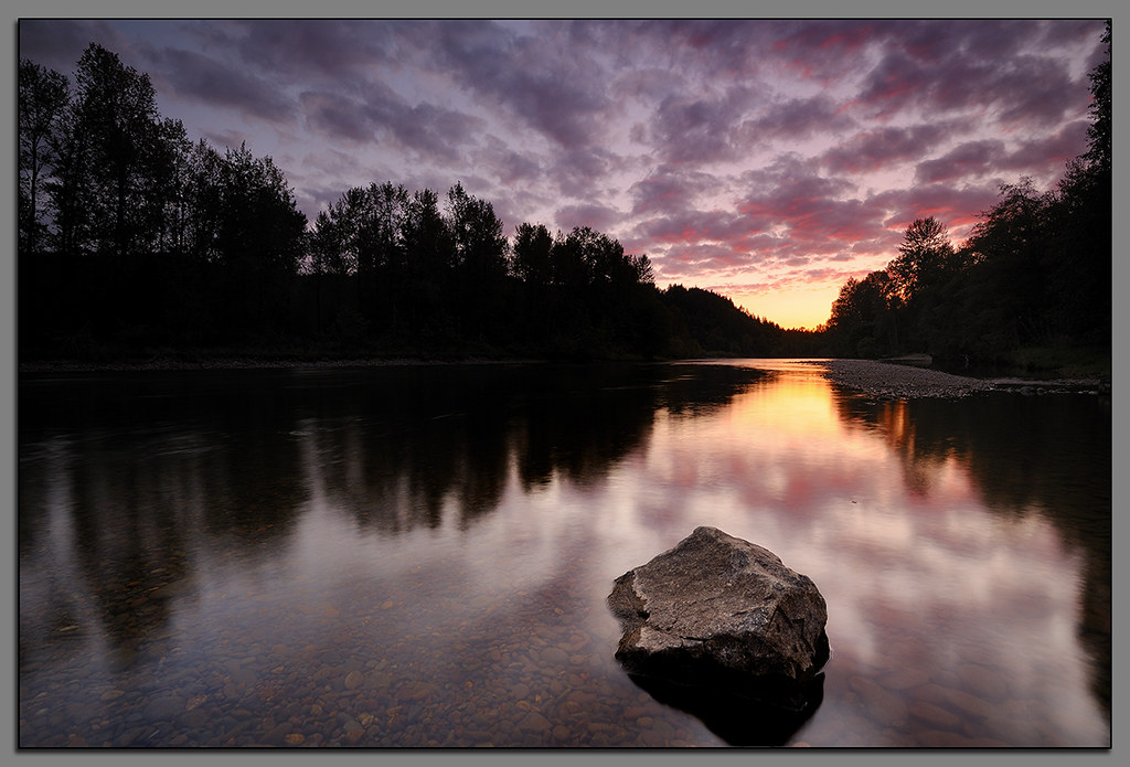
Clearwater Sunset....

Motormatic on the Down Low

Needles and Pins

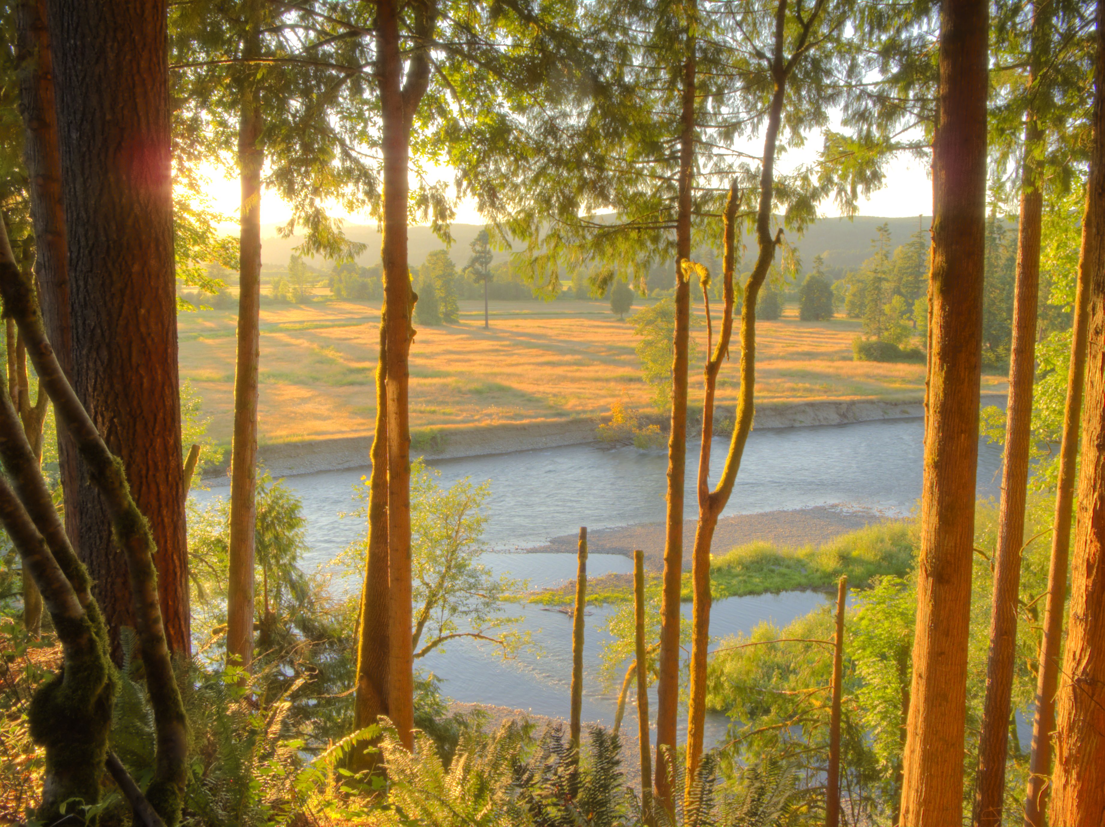
A Light in the Forest

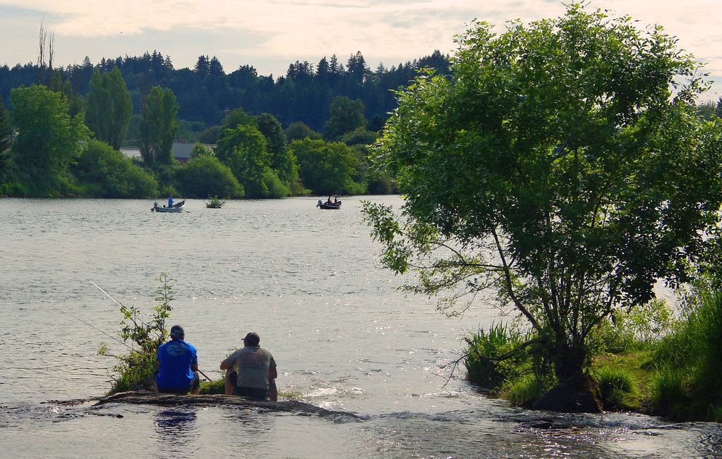
Up A Lazy River

BARN ON THE HILL

Faerie Worlds 2012, Eugene, Oregon

A Looking in View
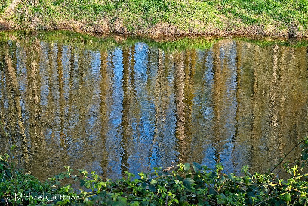
Reflecting On Spring

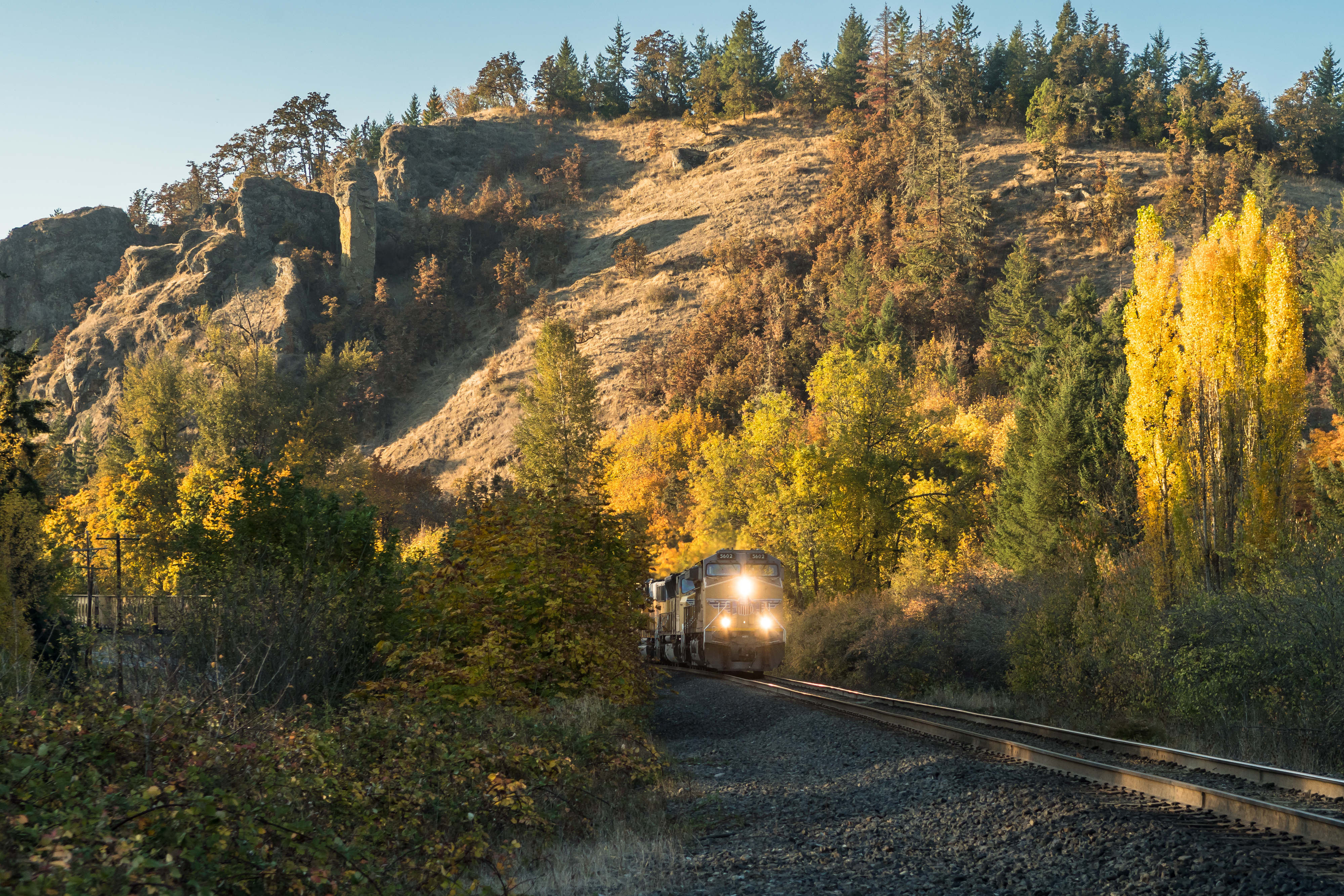
Train Break

Sad Baby

Rizzo: Song About Her

'Lego Batman' graphic
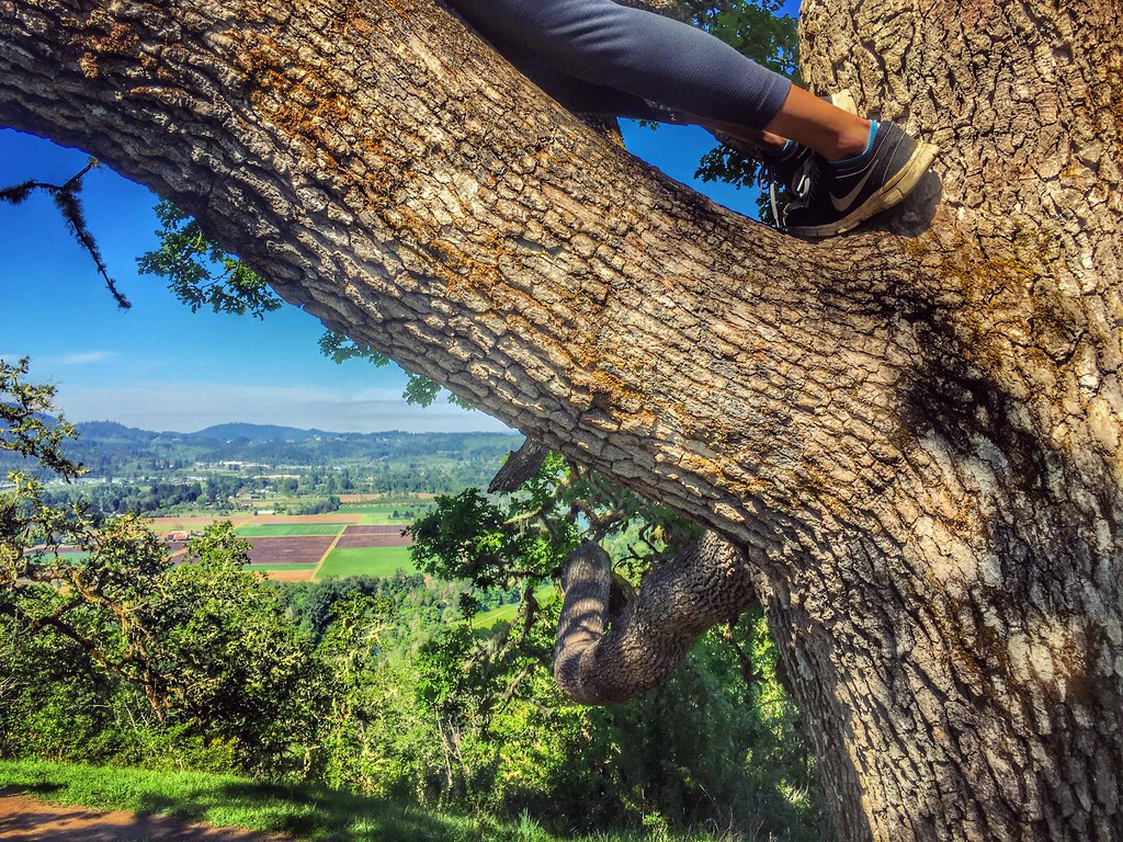
View from Mt. Pisgah, Oregon

The view from my window this morning...
OregonTrip_10-2010-4075

Jun 10th - Partial - partial view of Lower Proxy Falls #fmsphotoaday #oregonexplored
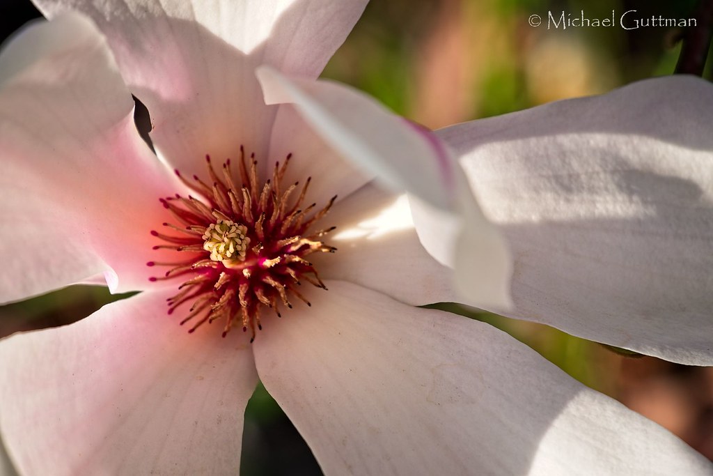
Magnolia Tree Flower in Spring
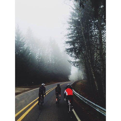
54 foggy miles on mckenzie view with the team this morning [18/365] #eugene #oregon #cycling #felt #greatnorthcollective #fog
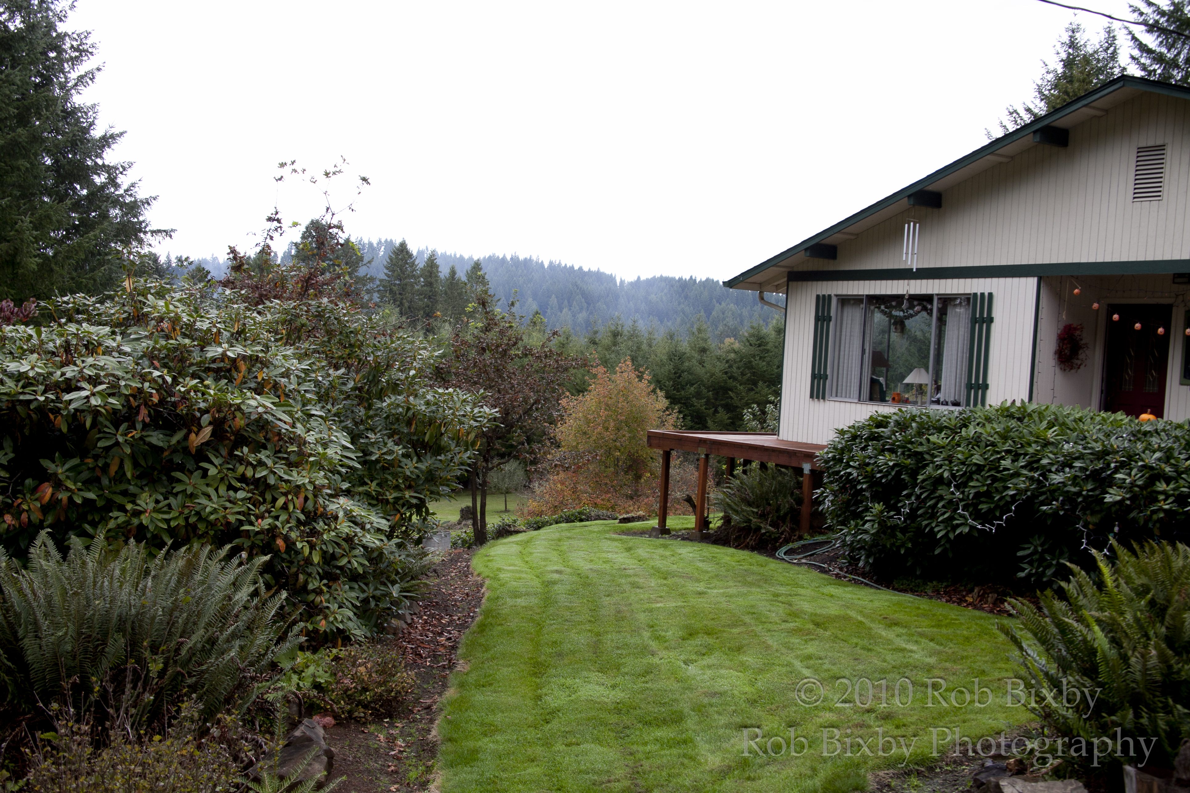
Enjoying the View
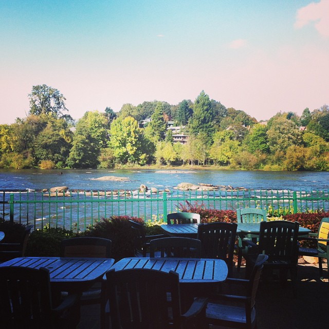
View from Roaring Rapids Pizza Company in Eugene, OR. Good pizza and breadsticks, merry go round and arcade games for the kids. Deschutes beer on tap. #oregon2013

The Calm Before the Storm

MORE BOKEH DOWN BY THE RIVER

Put Out the Light

100/83: Forest road

Daisies and clouds II

STORMY SUNSET VERTICAL
Evening Sun on the McKenzie River
Shadows and light at Fall Creek Junction

Day 28: January sky
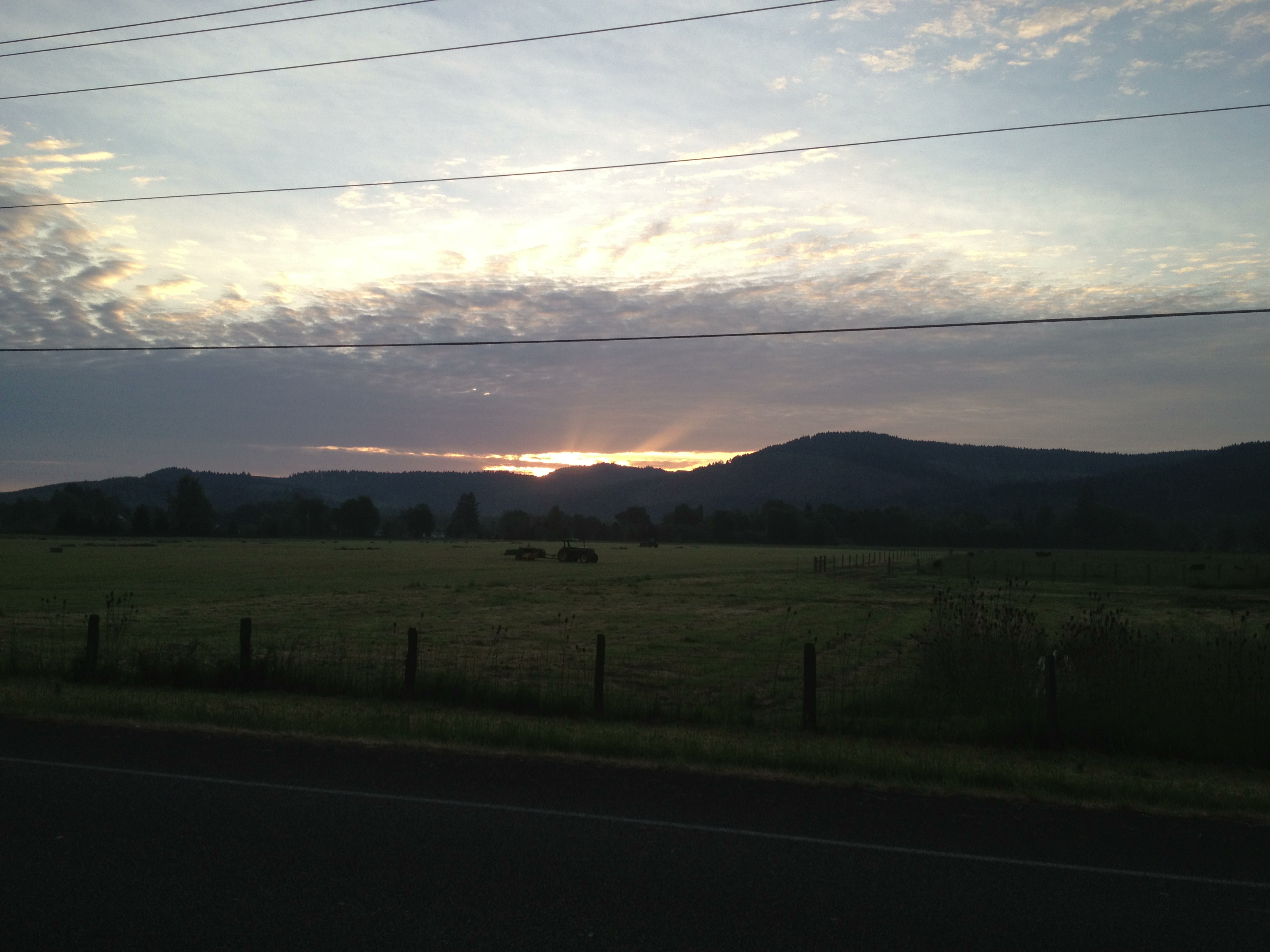
Sunrise on my way to work

Runnin' Down a Dream

RIVERSIDE BOKEH

Paint it Black

day ten.

Day 184: Fields of gold

Day 20 Photo 171

Willamette Valley

Willamette Valley grass field
Topographic Map of Cedar Flat, OR, USA
Find elevation by address:

Places near Cedar Flat, OR, USA:
Cedar Flat
38134 Mckenzie Hwy
37848 Shenandoah Loop
37956 Upper Camp Creek Rd
Page Ln, Springfield, OR, USA
37535 Upper Camp Creek Rd
38386 Upper Camp Creek Rd
38598 Upper Camp Creek Rd
7303 Forsythia St
38808 Upper Camp Creek Rd
321 S 71st St
895 S 71st St
894 S 71st St
910 S 71st St
372 69th Pl
836 S 70th St
69th Street
732 S 69th Pl
1162 S 69th St
6855 Glacier Dr
Recent Searches:
- Elevation of Unnamed Road, Respublika Severnaya Osetiya — Alaniya, Russia
- Elevation of Verkhny Fiagdon, North Ossetia–Alania Republic, Russia
- Elevation of F. Viola Hiway, San Rafael, Bulacan, Philippines
- Elevation of Herbage Dr, Gulfport, MS, USA
- Elevation of Lilac Cir, Haldimand, ON N3W 2G9, Canada
- Elevation of Harrod Branch Road, Harrod Branch Rd, Kentucky, USA
- Elevation of Wyndham Grand Barbados Sam Lords Castle All Inclusive Resort, End of Belair Road, Long Bay, Bridgetown Barbados
- Elevation of Iga Trl, Maggie Valley, NC, USA
- Elevation of N Co Rd 31D, Loveland, CO, USA
- Elevation of Lindever Ln, Palmetto, FL, USA