Elevation of Cd del Carmen - Villahermosa 56, Nuevo Progreso, Camp., Mexico
Location: Mexico > Campeche > Nuevo Progreso >
Longitude: -92.109052
Latitude: 18.6190486
Elevation: 7m / 23feet
Barometric Pressure: 101KPa
Elevation Map:
Satellite Map:
Related Photos:

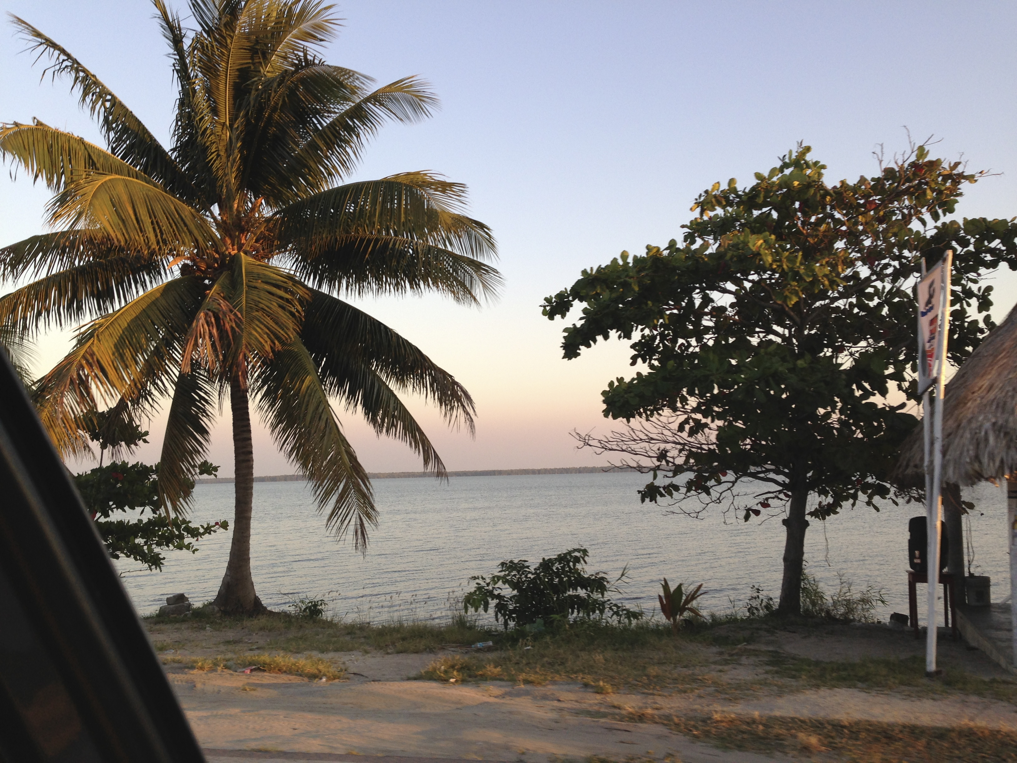
Palmera de atasta

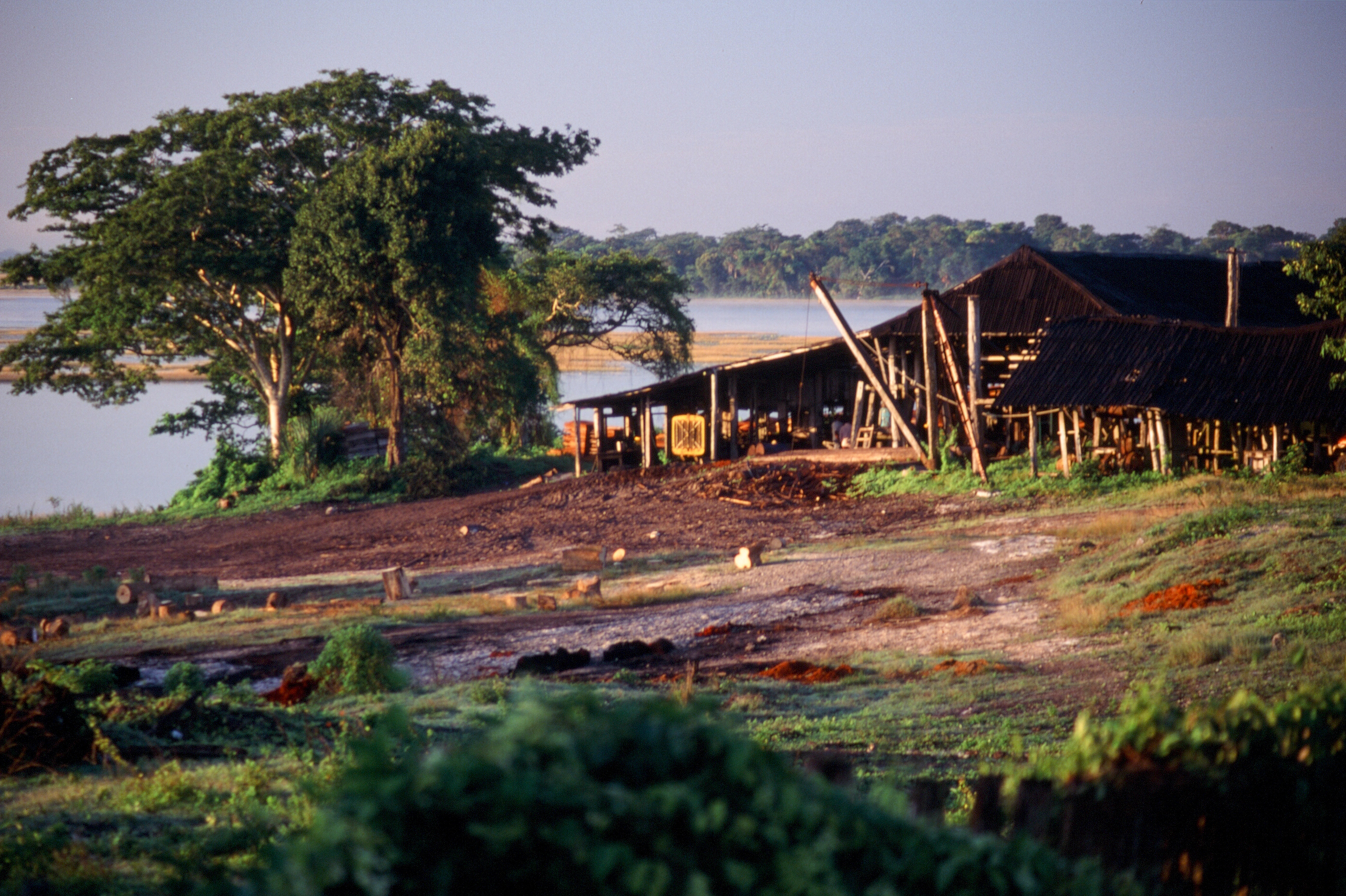
Atasta, Campeche_pano

Tomas y Doña Ele
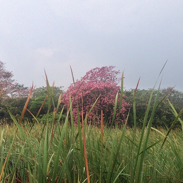
#tree #árbol #primavera #spring #flor #flower #visitmexico #mexico
19971217-002
19971217-001
SS13-64

SS13-65
Topographic Map of Cd del Carmen - Villahermosa 56, Nuevo Progreso, Camp., Mexico
Find elevation by address:

Places near Cd del Carmen - Villahermosa 56, Nuevo Progreso, Camp., Mexico:
Nuevo Progreso
Ixtapan
Lb
Playa Norte
Manigua
Francisco Villa 96, Manigua, Cd del Carmen, Camp., Mexico
276b
Obrera
Ciudad Del Carmen
Ciudad Del Carmen
Laguna de Términos 56, Residencial del Lago, Cd del Carmen, Camp., Mexico
Centla Municipality
Recent Searches:
- Elevation of Corso Fratelli Cairoli, 35, Macerata MC, Italy
- Elevation of Tallevast Rd, Sarasota, FL, USA
- Elevation of 4th St E, Sonoma, CA, USA
- Elevation of Black Hollow Rd, Pennsdale, PA, USA
- Elevation of Oakland Ave, Williamsport, PA, USA
- Elevation of Pedrógão Grande, Portugal
- Elevation of Klee Dr, Martinsburg, WV, USA
- Elevation of Via Roma, Pieranica CR, Italy
- Elevation of Tavkvetili Mountain, Georgia
- Elevation of Hartfords Bluff Cir, Mt Pleasant, SC, USA