Elevation of Cavedale Rd, Sonoma, CA, USA
Location: United States > California > Sonoma County > Sonoma >
Longitude: -122.48655
Latitude: 38.3433602
Elevation: 115m / 377feet
Barometric Pressure: 100KPa
Elevation Map:
Satellite Map:
Related Photos:
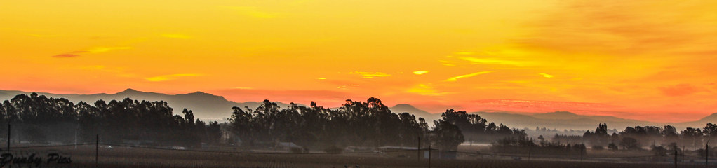
Sunrise Yesterday Morning in Petaluma
Sonoma Valley Regional Park

Vineyard Lane, Spring - Napa Valley California
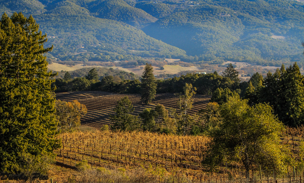
Vineyards surrounding Jack London State Historic Park

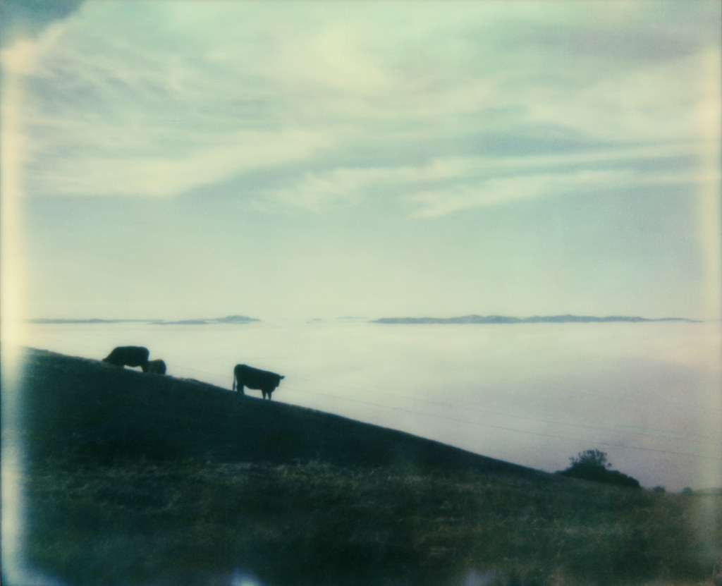
Out to Pasture
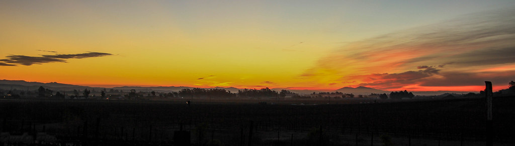
Sunrise Yesterday Morning in Petaluma
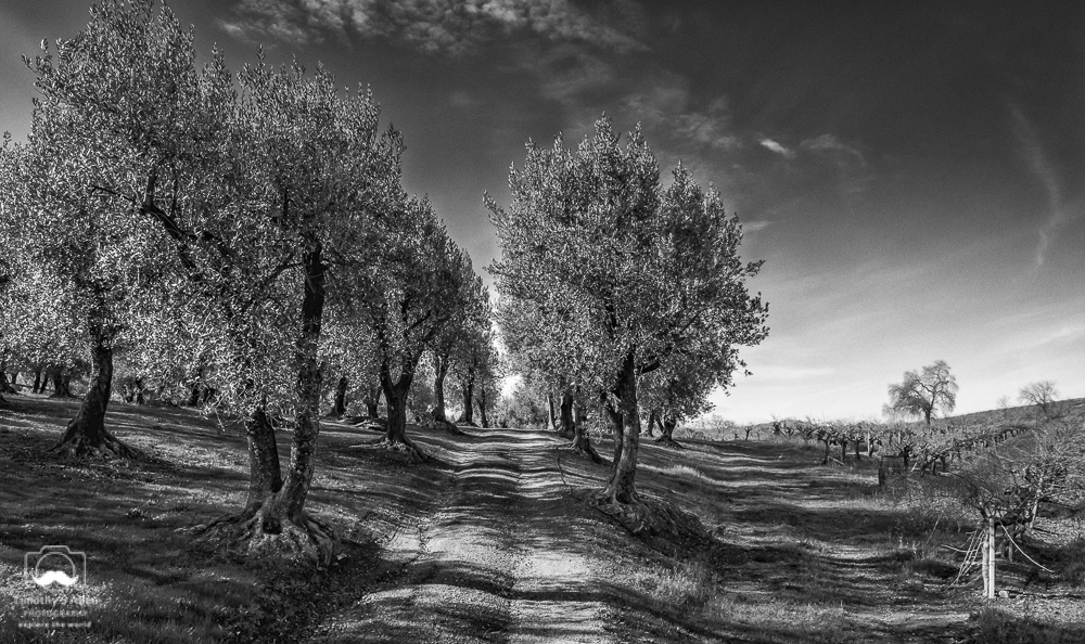
Olive Trail in Black and White

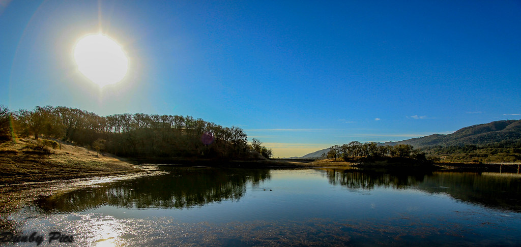
Sonoma Valley Regional Park & Lake Suttonfield

Vineyards surrounding Jack London State Historic Park
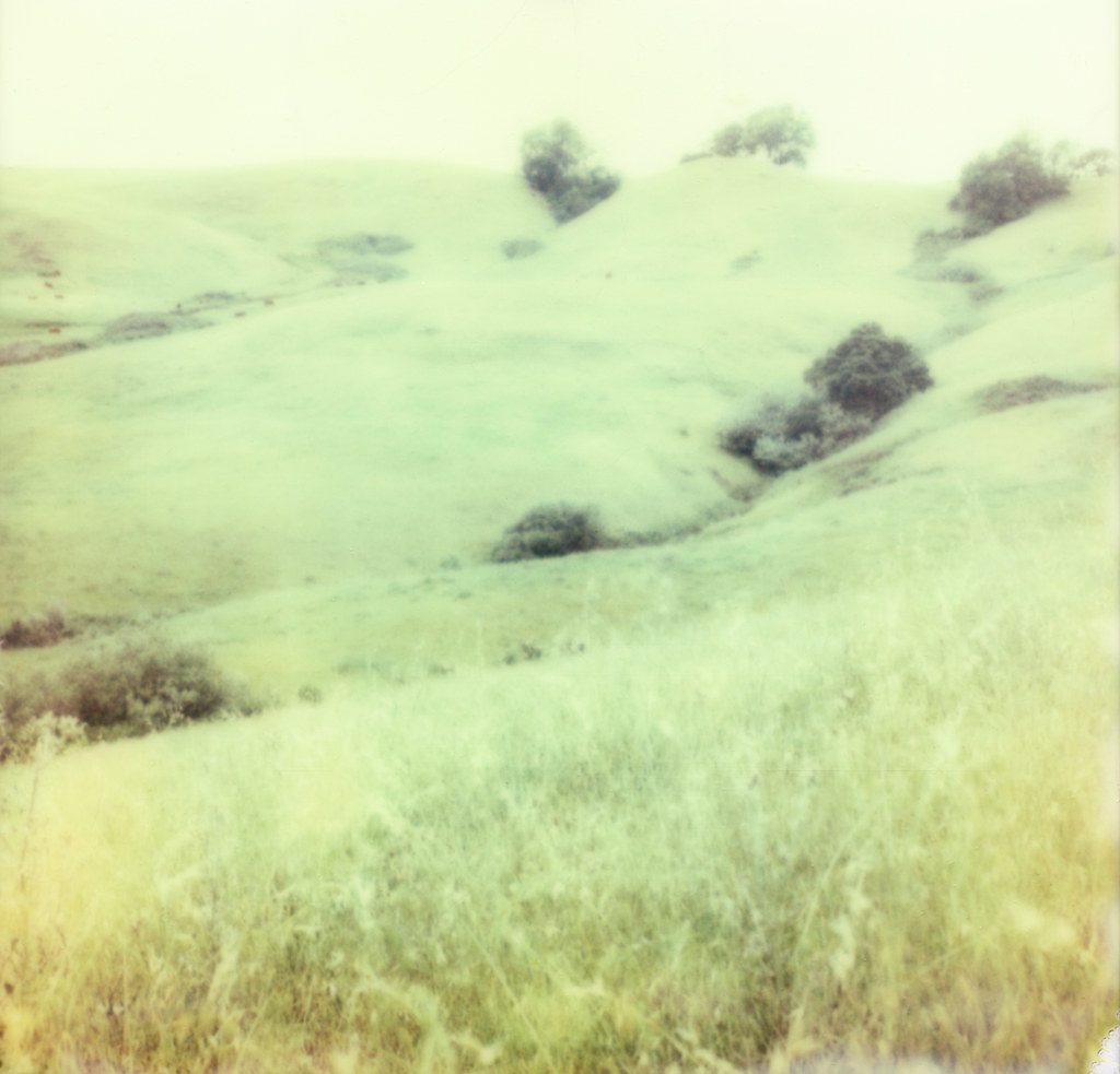
view from gravity hill

Bent by Water
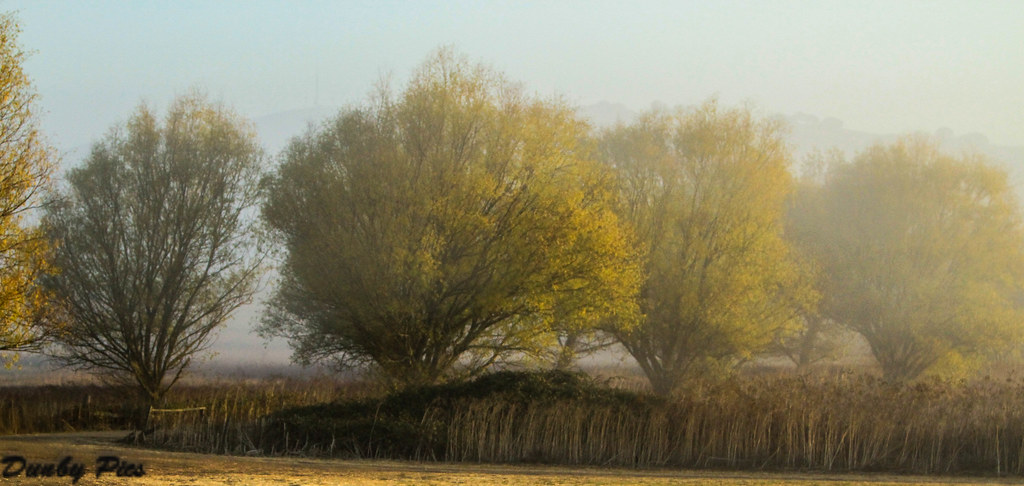
Foggy Morning Fall Trees - Landscapes of Tolay Lake Regional Park

Focus on Structures and Architecture at Jack London State Historic Park

Ledson Winery - Porsche

pinhole oaks

112/365 : blood

Cardinal Meadowhawk "Sympetrum illotum"

Hairy Woodpecker at Tolay Lake Regional Park

Duck Diversity Reflection at Ellis Creek - Petaluma Wetlands

Shady Trail - Jack London State Park
Mustard Grass Landscapes - Tolay Lake Regional Park
sonoma mtn
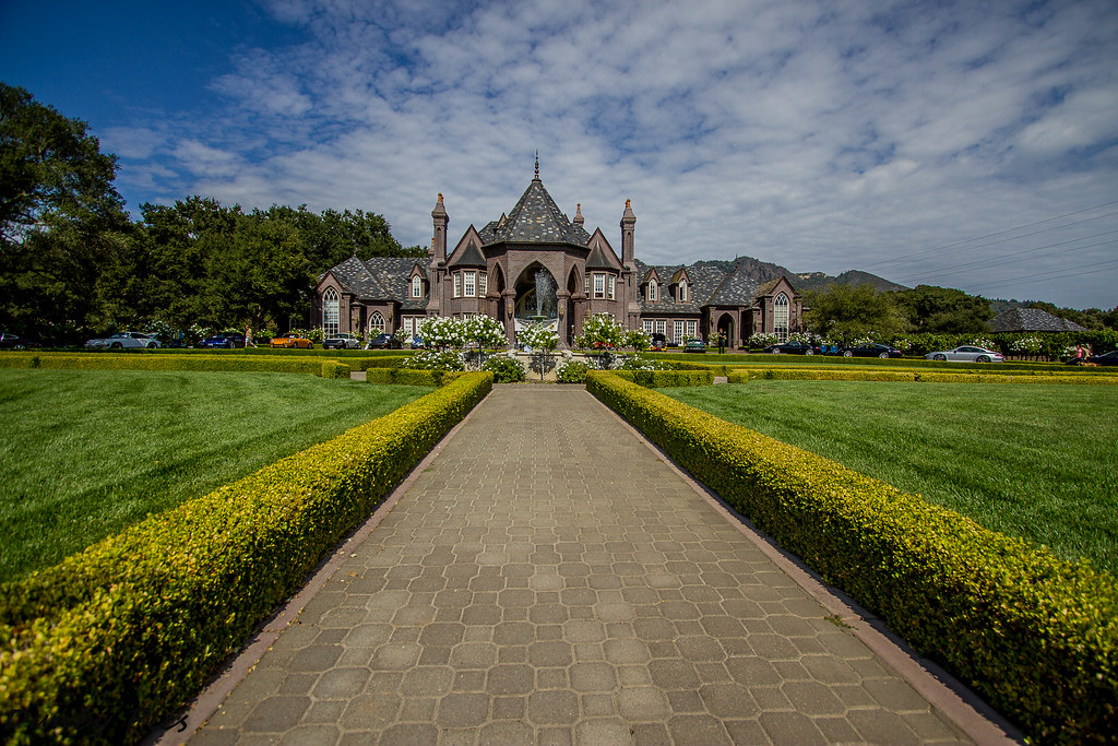
Sonoma County Wine Country - Ledson Winery

hill and sky
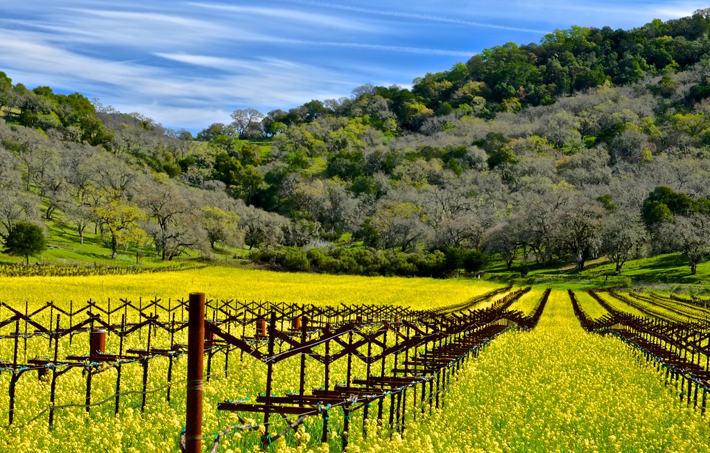
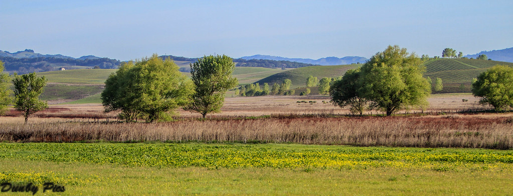
Vines , mustard, Napa valley

Western Pond Turtle "Actinemys marmorata"
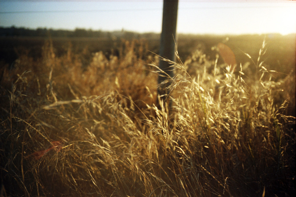
roadside grass
Opus One Winery

Carneros Barn

Westwood Hills Napa,CA

IMGP4051-Edit

335/365 : landscape
Crane Creek Regional Park

perfectly-shaped tree
We're on a good pace #2 #postsalesconferencedetox #napa

Morning Light

more green-and-fog, from this morning's commute
_DSC1613.jpg
Topographic Map of Cavedale Rd, Sonoma, CA, USA
Find elevation by address:

Places near Cavedale Rd, Sonoma, CA, USA:
110 Cavedale Rd
CA-12, Sonoma, CA, USA
725 Cecelia Dr
1 Old Hill Ranch, Glen Ellen, CA, USA
2399 Sobre Vista Rd
2369 Sobre Vista Rd
Railroad Ave, Glen Ellen, CA, USA
13895 Williams Rd
Glen Ellen
Glen Ellen Inn
United States Postal Service
13549 Railroad St
13740 Arnold Dr
13740 Arnold Dr
1195 Chauvet Rd
1195 Chauvet Rd
5000 Cavedale Rd
1675 London Ranch Rd
Mount Veeder
Jack London State Historic Park
Recent Searches:
- Elevation of Leguwa, Nepal
- Elevation of County Rd, Enterprise, AL, USA
- Elevation of Kolchuginsky District, Vladimir Oblast, Russia
- Elevation of Shustino, Vladimir Oblast, Russia
- Elevation of Lampiasi St, Sarasota, FL, USA
- Elevation of Elwyn Dr, Roanoke Rapids, NC, USA
- Elevation of Congressional Dr, Stevensville, MD, USA
- Elevation of Bellview Rd, McLean, VA, USA
- Elevation of Stage Island Rd, Chatham, MA, USA
- Elevation of Shibuya Scramble Crossing, 21 Udagawacho, Shibuya City, Tokyo -, Japan