Elevation of Catherine Lake Rd, Richlands, NC, USA
Location: United States > North Carolina > Onslow County > Richlands > Richlands >
Longitude: -77.563957
Latitude: 34.8178539
Elevation: 24m / 79feet
Barometric Pressure: 101KPa
Elevation Map:
Satellite Map:
Related Photos:

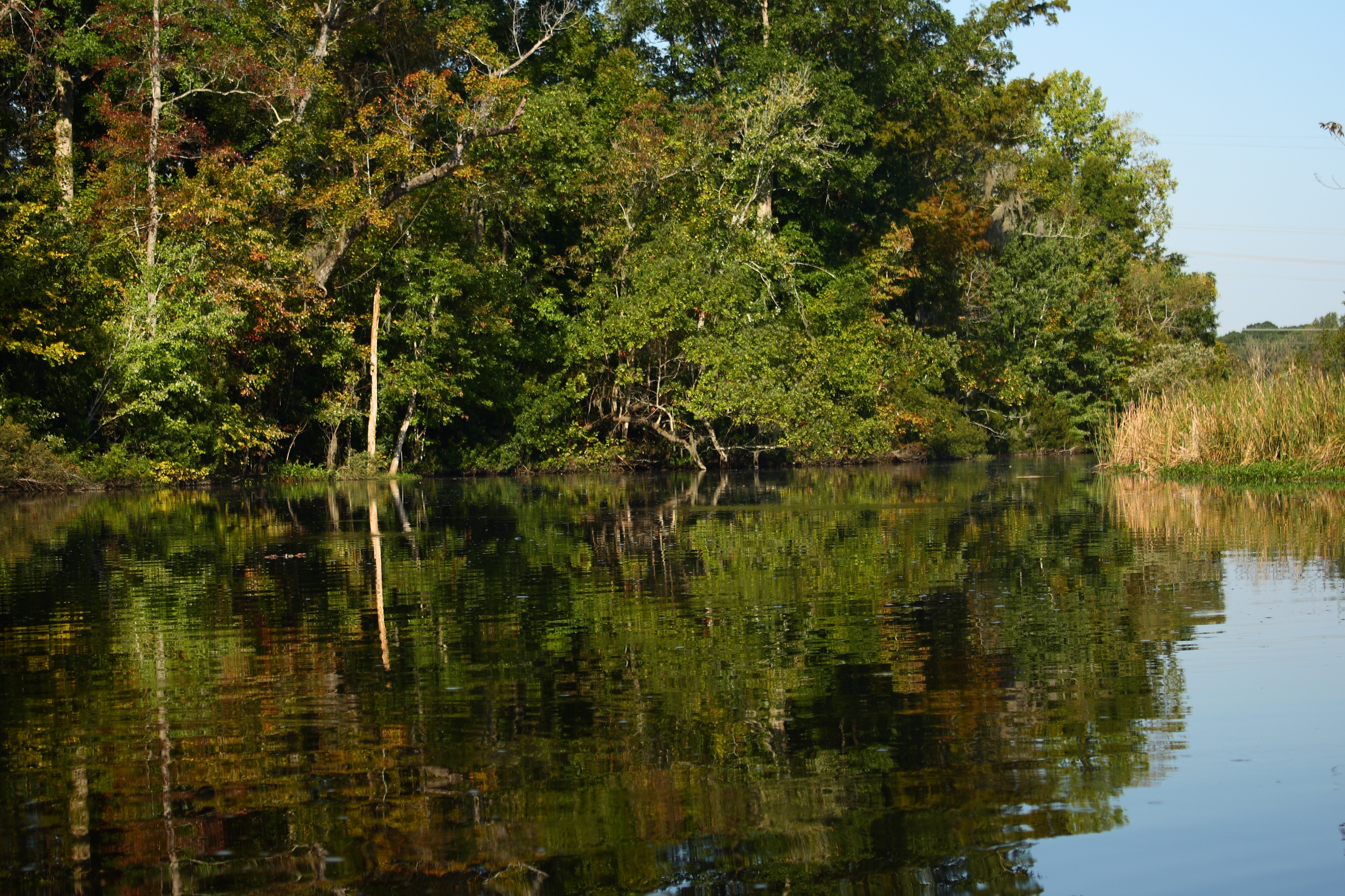
Sewel Bridge Sunset
The Views

"Milly, what color's the sky?" "It's pink and sissy blue."
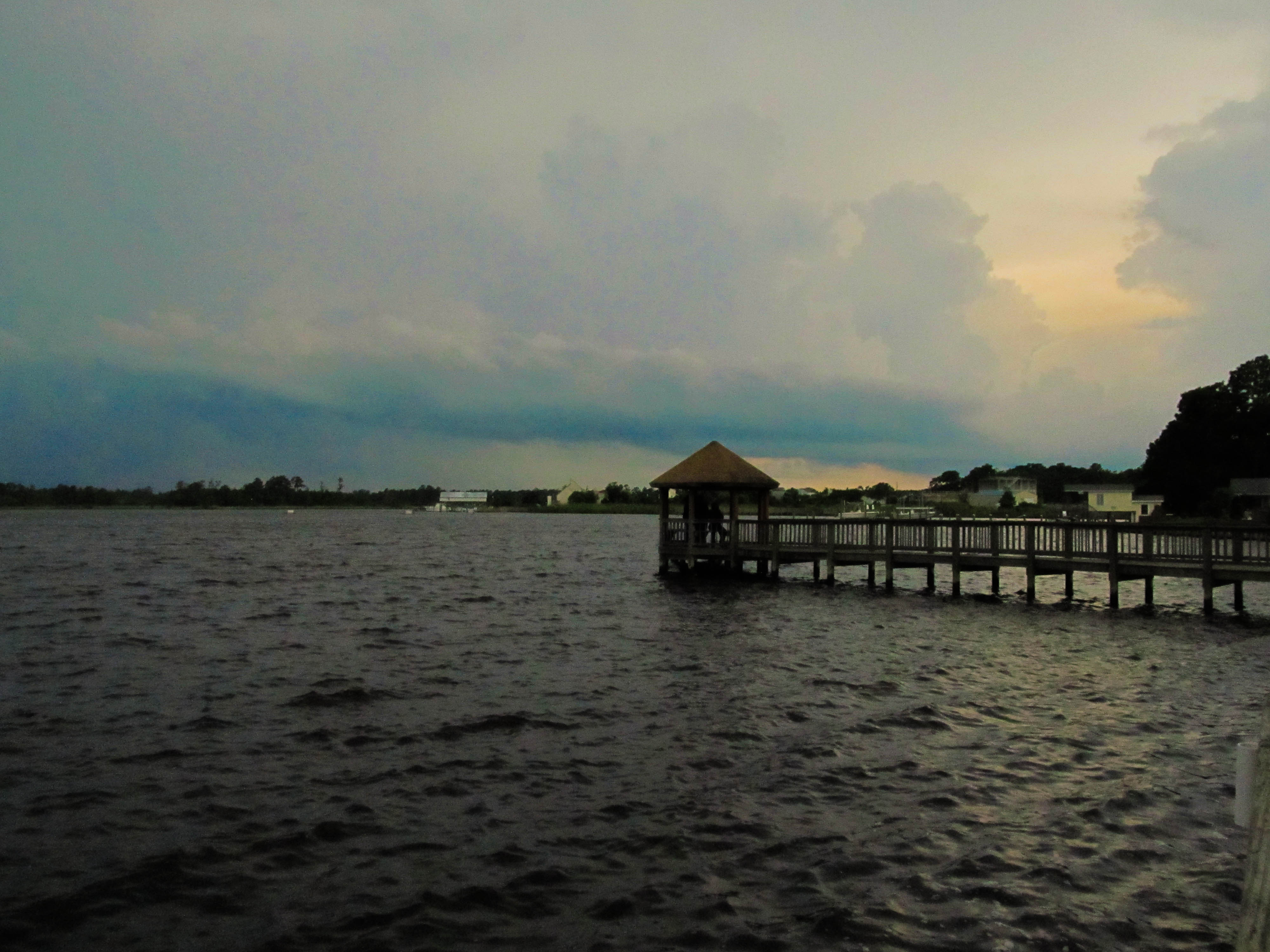
Wilson Bay Gazebo
Media-09-3Wed-0105 050
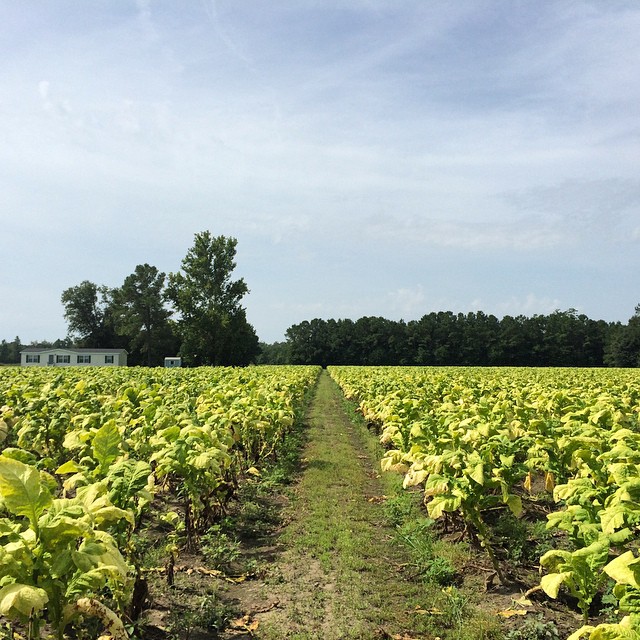
Tobacco Road

Media-09-3Wed-0110 036

Media-09-3Wed-1020 002

Sunrise over soybeans

Media-09-3Wed-1020 019
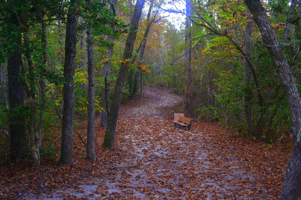
Oak Hurst
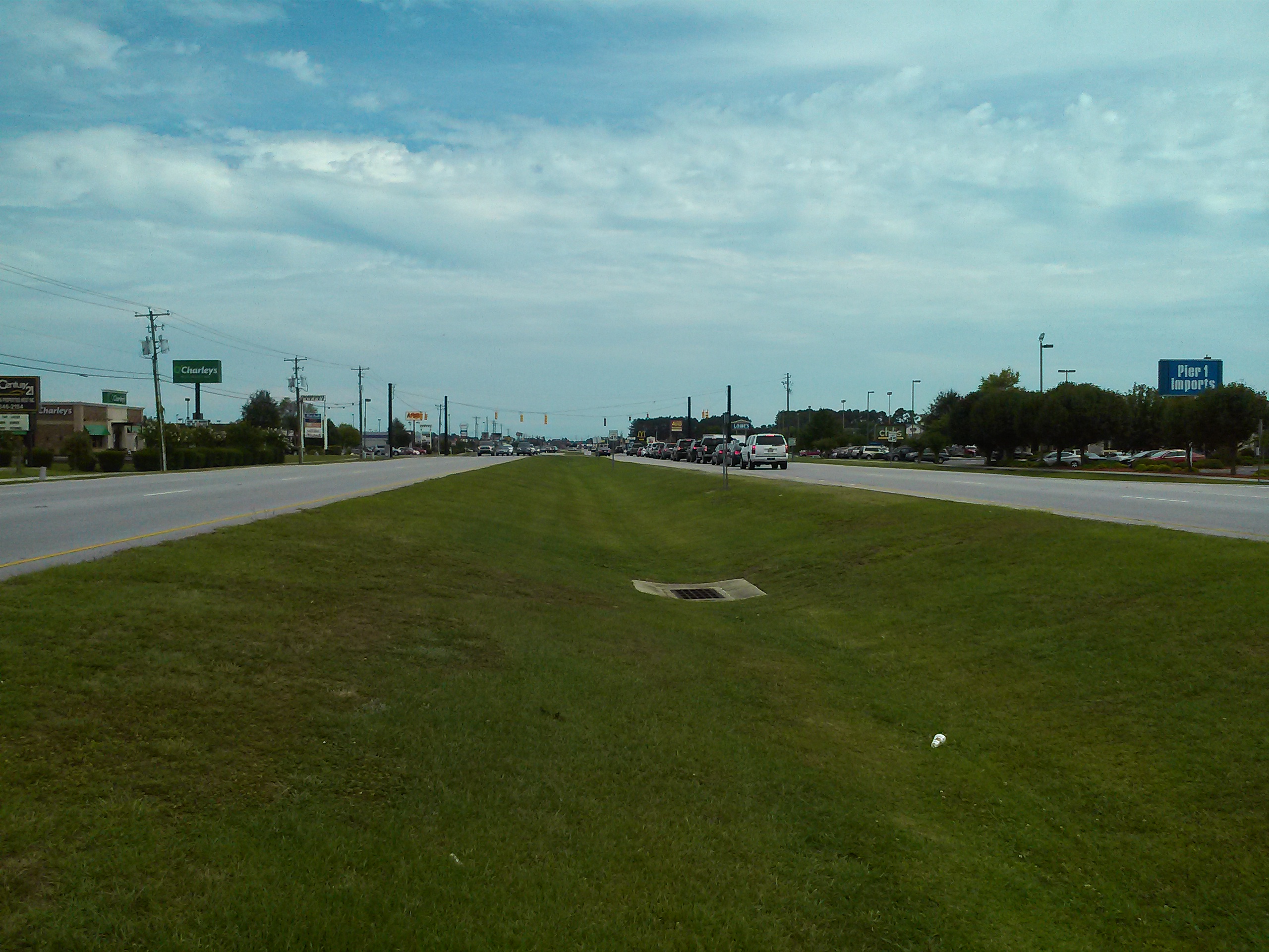
What is wrong with this picture?

Media-09-3Wed-0100 166

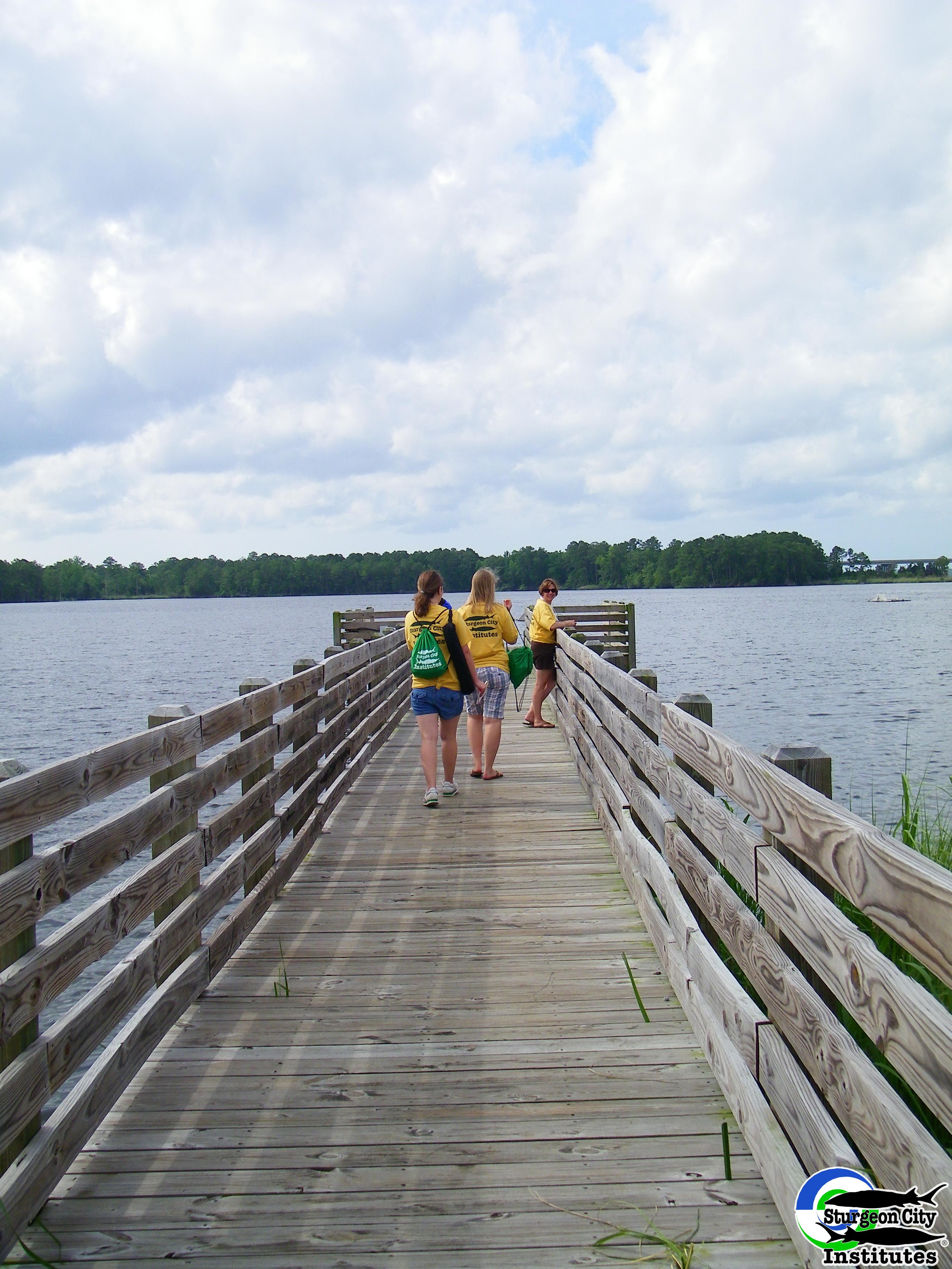
Dock at New River
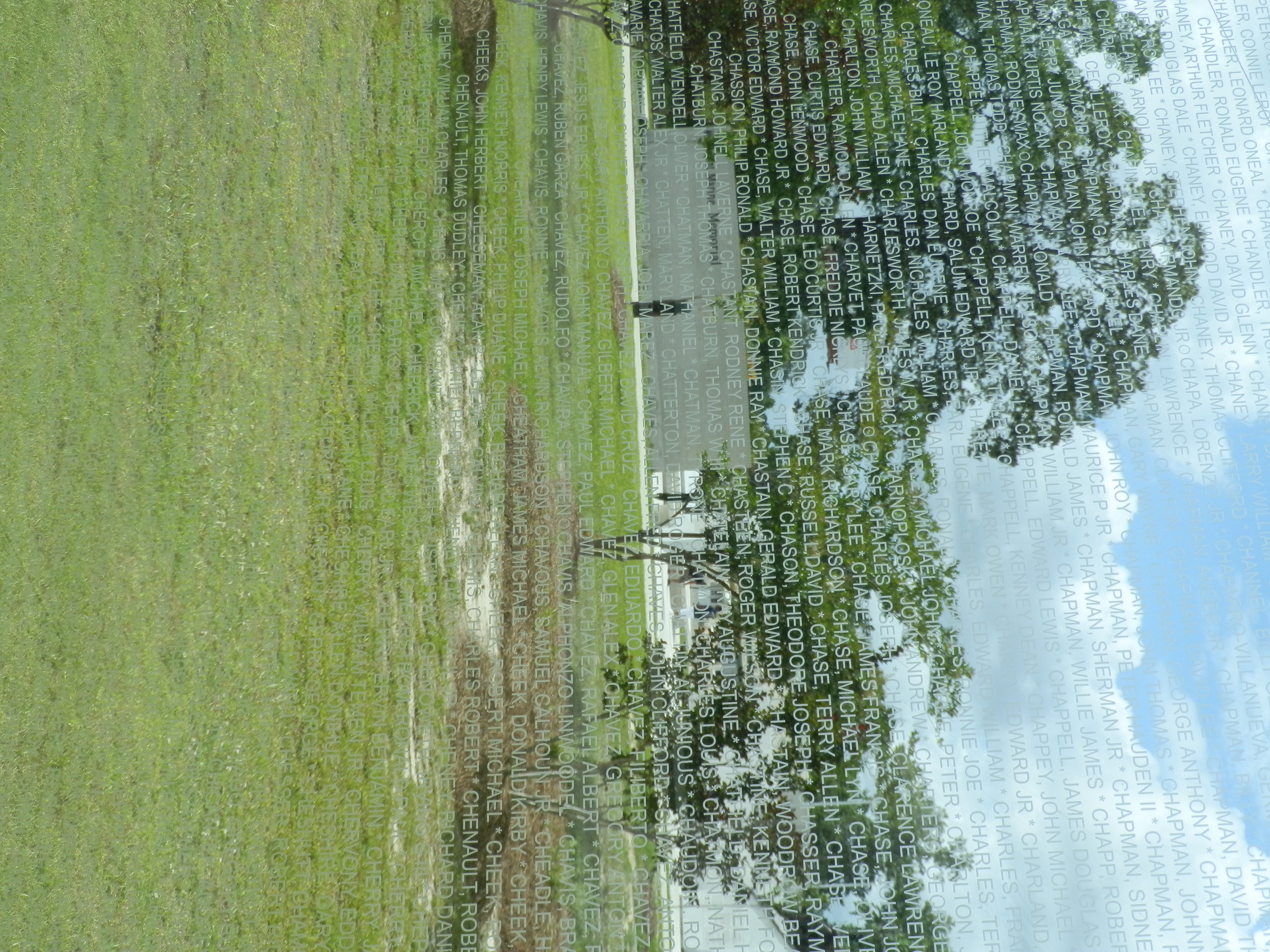
Jacksonville, NC
Topographic Map of Catherine Lake Rd, Richlands, NC, USA
Find elevation by address:

Places near Catherine Lake Rd, Richlands, NC, USA:
230 Long Neck Dr
147 Harvest Moon Dr
412 Bannermans Mill Rd
108 Hotel Branch Ln
255 Newbold Rd
Camellia Creek Drive
Richlands
127 Bellchase Drive
7049 Richlands Hwy
163 Christy Dr
306 Snow Bell Ct
3088 Catherine Lake Rd
263 Koonce Fork Rd
104 Hinson Ln
168 Old Beechtree Ln
703 Eagle Ct
619 Par Dr
3204 Catherine Lake Rd
8405 Richlands Hwy
3203 Catherine Lake Rd
Recent Searches:
- Elevation of Elwyn Dr, Roanoke Rapids, NC, USA
- Elevation of Congressional Dr, Stevensville, MD, USA
- Elevation of Bellview Rd, McLean, VA, USA
- Elevation of Stage Island Rd, Chatham, MA, USA
- Elevation of Shibuya Scramble Crossing, 21 Udagawacho, Shibuya City, Tokyo -, Japan
- Elevation of Jadagoniai, Kaunas District Municipality, Lithuania
- Elevation of Pagonija rock, Kranto 7-oji g. 8"N, Kaunas, Lithuania
- Elevation of Co Rd 87, Jamestown, CO, USA
- Elevation of Tenjo, Cundinamarca, Colombia
- Elevation of Côte-des-Neiges, Montreal, QC H4A 3J6, Canada