Elevation of Cataract Peak, Improvement District No. 9, AB T0L, Canada
Location: Canada > Alberta > Division No. 15 > Improvement District No. 9 >
Longitude: -116.09333
Latitude: 51.6533333
Elevation: 3158m / 10361feet
Barometric Pressure: 69KPa
Elevation Map:
Satellite Map:
Related Photos:
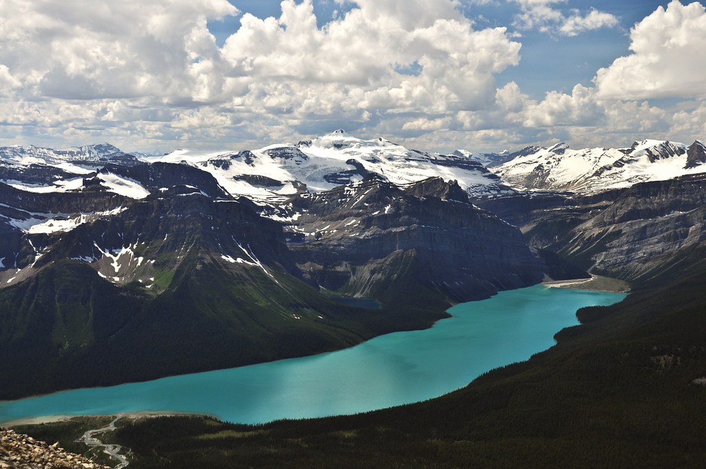
View from Little Hector

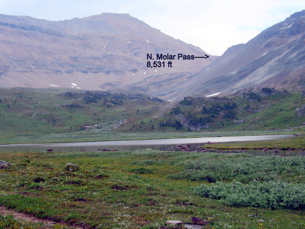
Vista View at the Plain of the Six Glaciers Teahouse
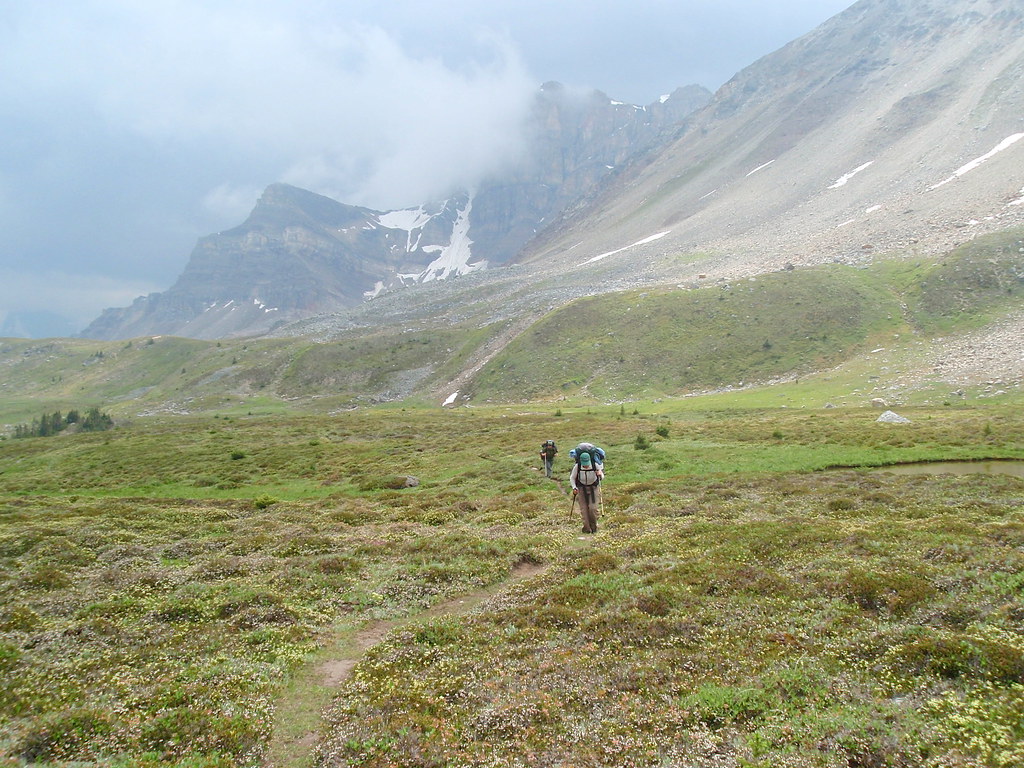
Mosquito Lake
Elevation gain
Topographic Map of Cataract Peak, Improvement District No. 9, AB T0L, Canada
Find elevation by address:

Places near Cataract Peak, Improvement District No. 9, AB T0L, Canada:
Deluc Peak
Mount Mcconnell
Dip Slope N3
Mount Drummond
Improvement District No. 9
Skoki Mountain
Skoki Ski Lodge National Historic Site
Richardson Nw3
Wall Of Jericho
Oyster Peak
Fossil Mountain
Mount Richardson
Ptarmigan Peak
Devon Mountain
Mosquito Mountain
Mount Douglas
Brachiopod Mountain
Mount Hector
Andromache N4
Mount Andromache
Recent Searches:
- Elevation of Elwyn Dr, Roanoke Rapids, NC, USA
- Elevation of Congressional Dr, Stevensville, MD, USA
- Elevation of Bellview Rd, McLean, VA, USA
- Elevation of Stage Island Rd, Chatham, MA, USA
- Elevation of Shibuya Scramble Crossing, 21 Udagawacho, Shibuya City, Tokyo -, Japan
- Elevation of Jadagoniai, Kaunas District Municipality, Lithuania
- Elevation of Pagonija rock, Kranto 7-oji g. 8"N, Kaunas, Lithuania
- Elevation of Co Rd 87, Jamestown, CO, USA
- Elevation of Tenjo, Cundinamarca, Colombia
- Elevation of Côte-des-Neiges, Montreal, QC H4A 3J6, Canada