Elevation of Castor, AB T0C 0X0, Canada
Location: Canada > Alberta > Division No. 7 >
Longitude: -111.90547
Latitude: 52.2191313
Elevation: 819m / 2687feet
Barometric Pressure: 92KPa
Elevation Map:
Satellite Map:
Related Photos:

Storm's a comin'

Huber Dam Lake

ATCO Electric 24.9kV & 4.8kV - Castor, AB

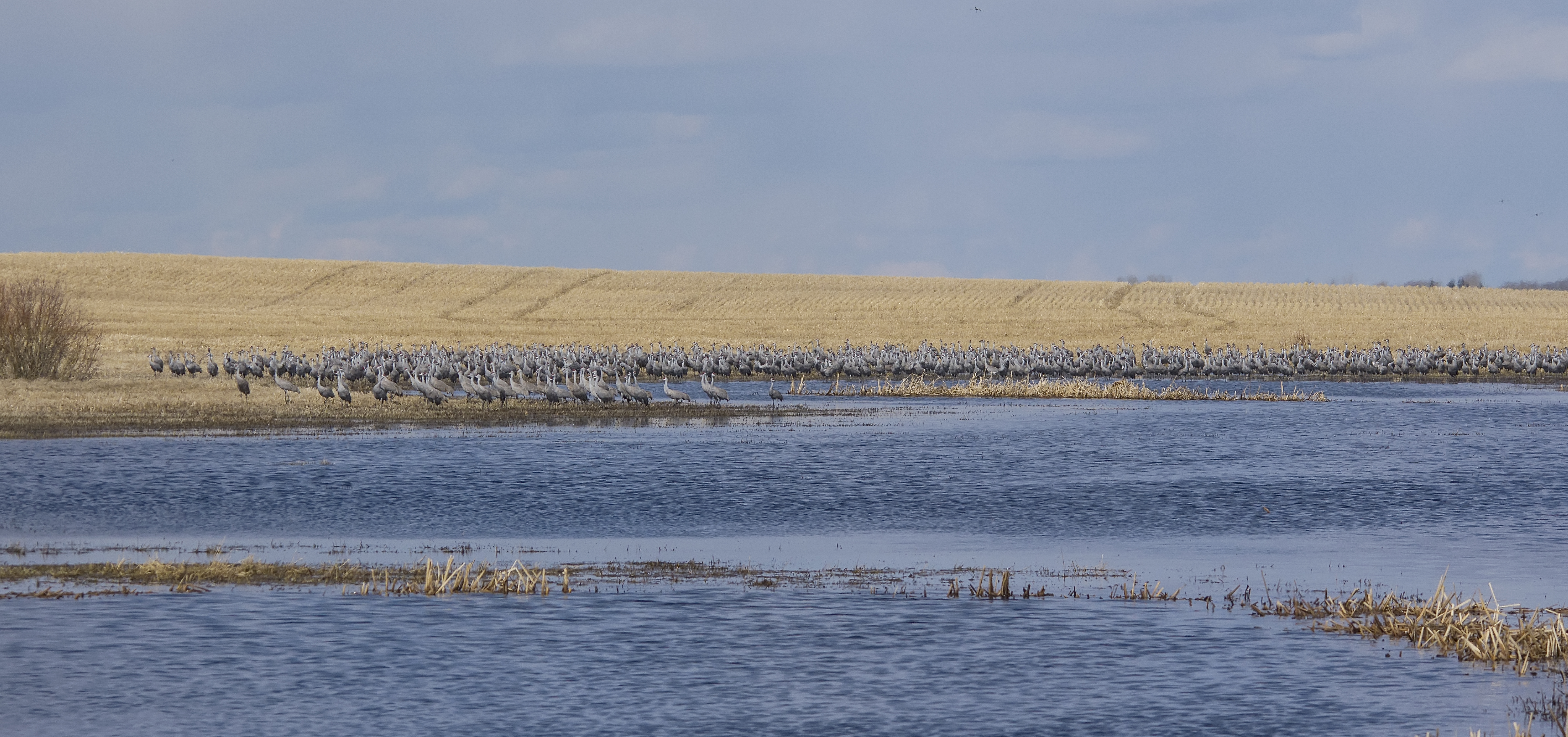
Sandhill Cranes

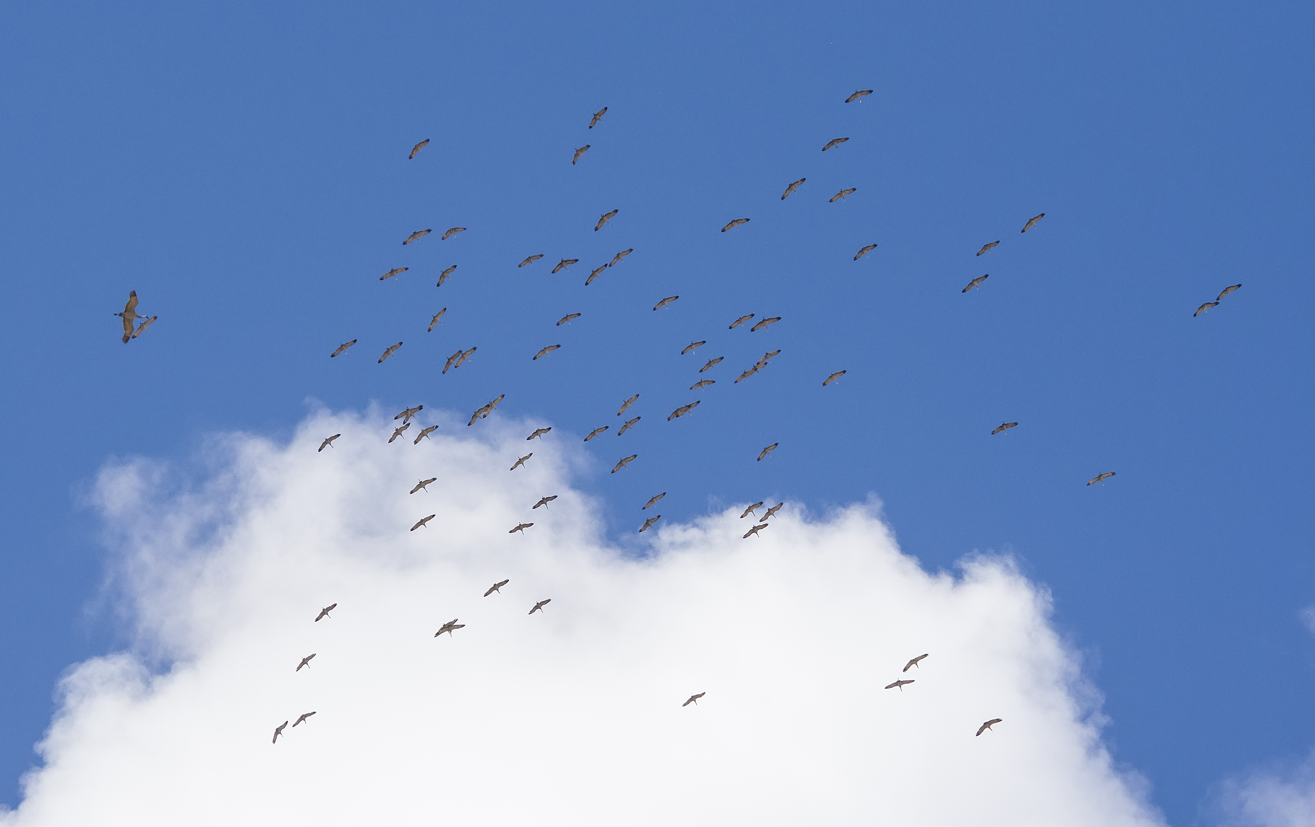
Sandhill Cranes

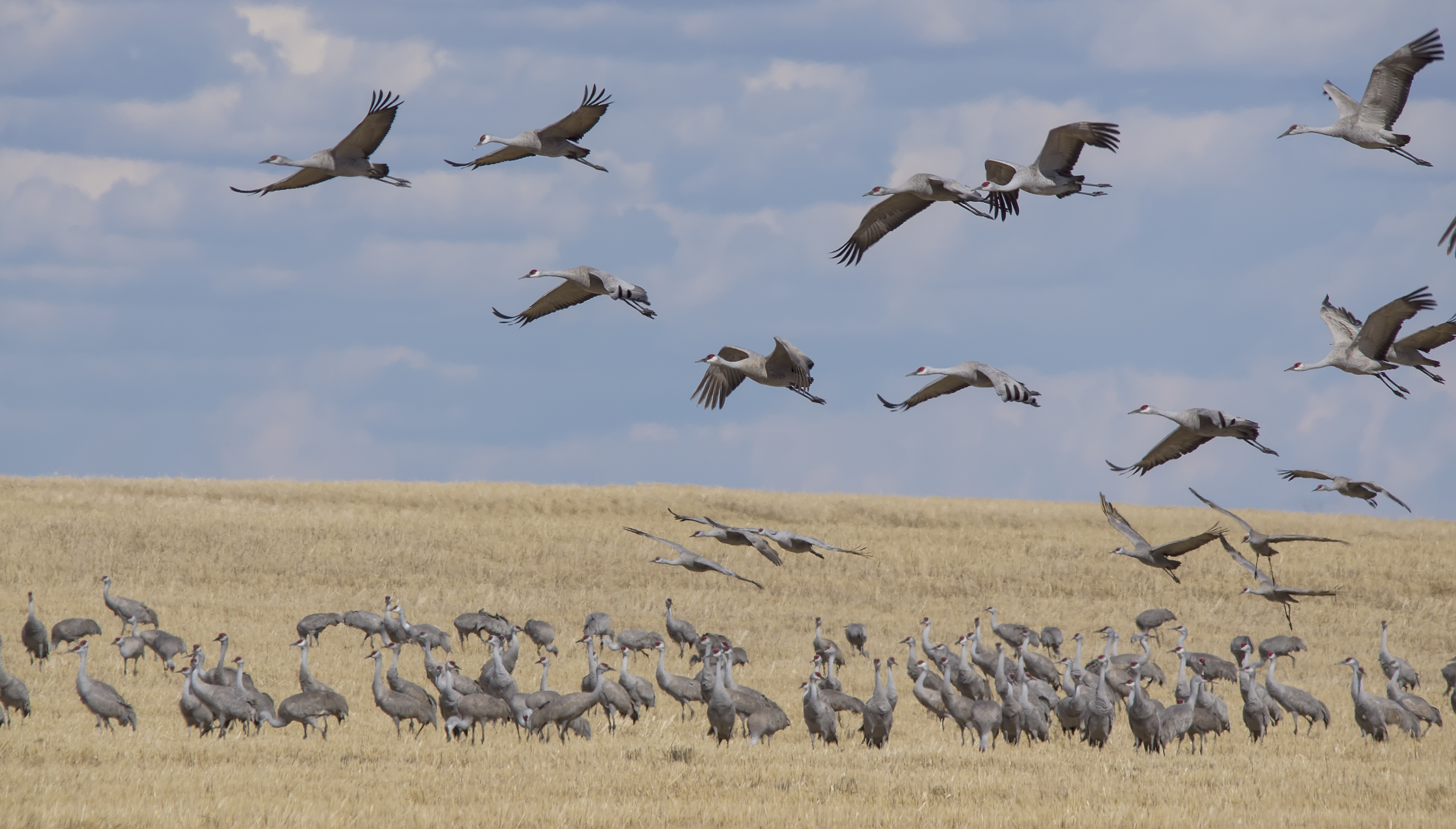
Northern Shrike
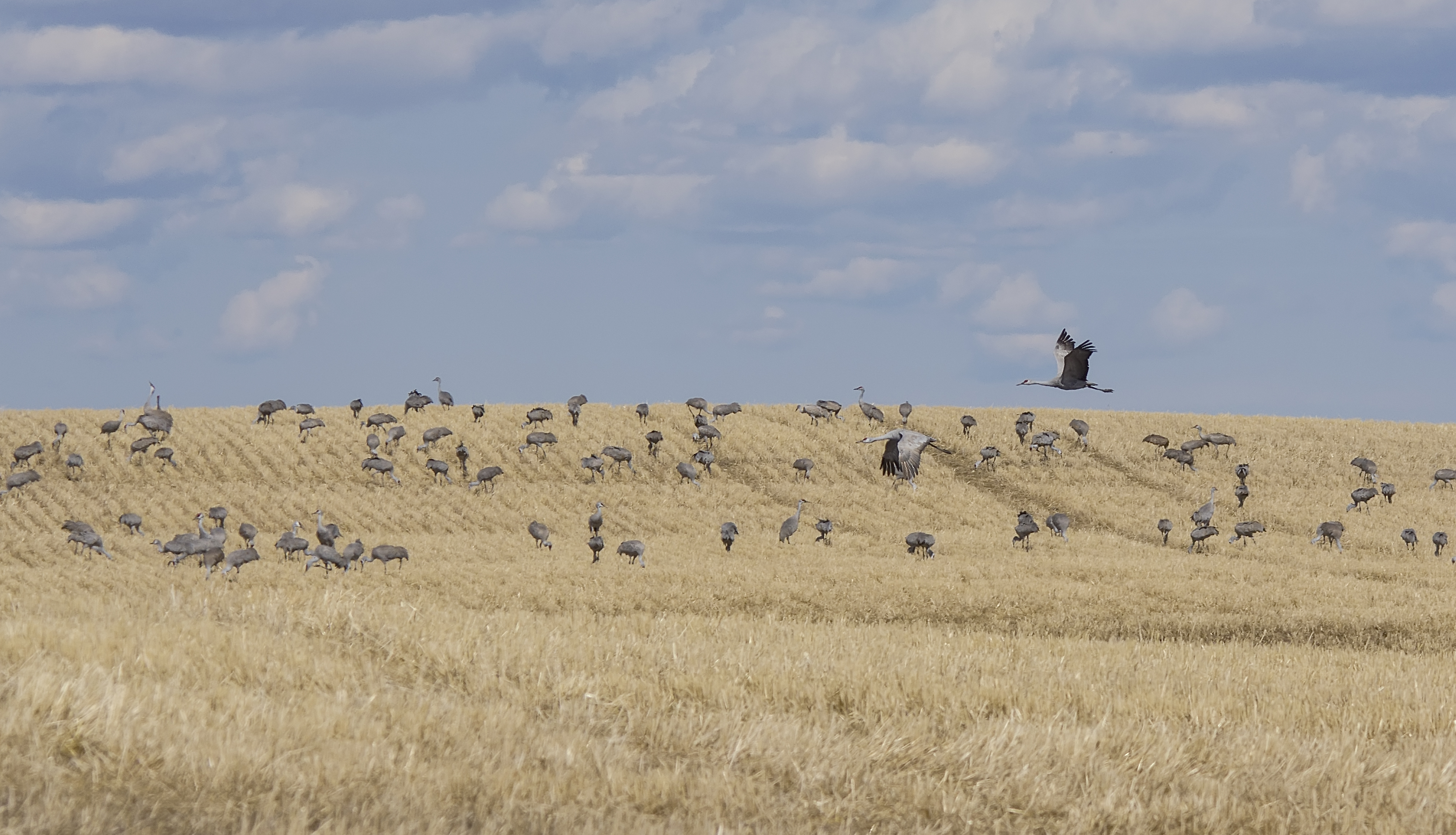
Sandhill Cranes

Sandhill Cranes

Sandhill Cranes

Sandhill Cranes

Sandhill Cranes
Sandhill Cranes

Sandhill Cranes

Sandhill Cranes

Sandhill Cranes

Sandhill Cranes

Sandhill Cranes

Sandhill Cranes
Sandhill Cranes
Sandhill Cranes

Sandhill Cranes

Sandhill Crane
Topographic Map of Castor, AB T0C 0X0, Canada
Find elevation by address:

Places near Castor, AB T0C 0X0, Canada:
Paintearth County No. 18
Gadsby
2 St, Gadsby, AB T0C 1K0, Canada
Coronation
4902 53 St
Killam
53 St, Killam, AB T0B 2L0, Canada
Sedgewick
Division No. 7
Hardisty
Veteran Hutterite Colony
Kinsella
Viking
Beaver County
9 52 Ave, Ryley, AB T0B 4A0, Canada
Minburn County No. 27
53 St, Innisfree, AB T0B 2G0, Canada
Division No. 10
Recent Searches:
- Elevation of Congressional Dr, Stevensville, MD, USA
- Elevation of Bellview Rd, McLean, VA, USA
- Elevation of Stage Island Rd, Chatham, MA, USA
- Elevation of Shibuya Scramble Crossing, 21 Udagawacho, Shibuya City, Tokyo -, Japan
- Elevation of Jadagoniai, Kaunas District Municipality, Lithuania
- Elevation of Pagonija rock, Kranto 7-oji g. 8"N, Kaunas, Lithuania
- Elevation of Co Rd 87, Jamestown, CO, USA
- Elevation of Tenjo, Cundinamarca, Colombia
- Elevation of Côte-des-Neiges, Montreal, QC H4A 3J6, Canada
- Elevation of Bobcat Dr, Helena, MT, USA