Elevation of Castenada Dr, Millbrae, CA, USA
Location: United States > California > San Mateo County > Millbrae >
Longitude: -122.39427
Latitude: 37.5890262
Elevation: 48m / 157feet
Barometric Pressure: 101KPa
Elevation Map:
Satellite Map:
Related Photos:

Askewed view

Cloudy Seascape

Night Bridge and Its Reflections

Flew into the Night Clouds
SFO’s Saturday Night

On Their Way Home

San Francisco Skyline in the Far Distance
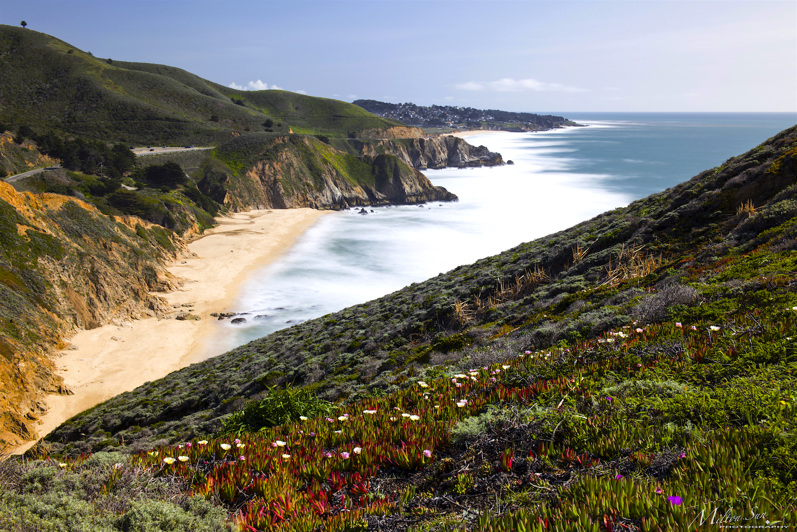
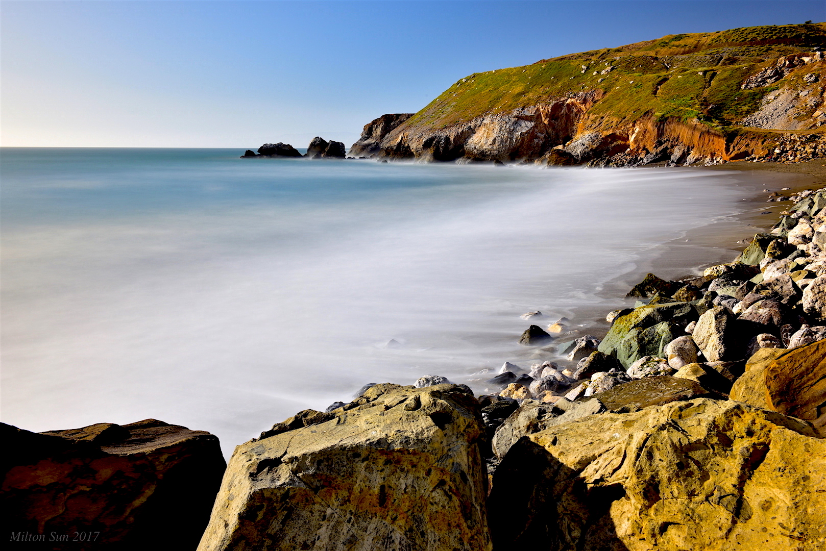
Gray Whale Cove Beach

Sunset on the Rocks
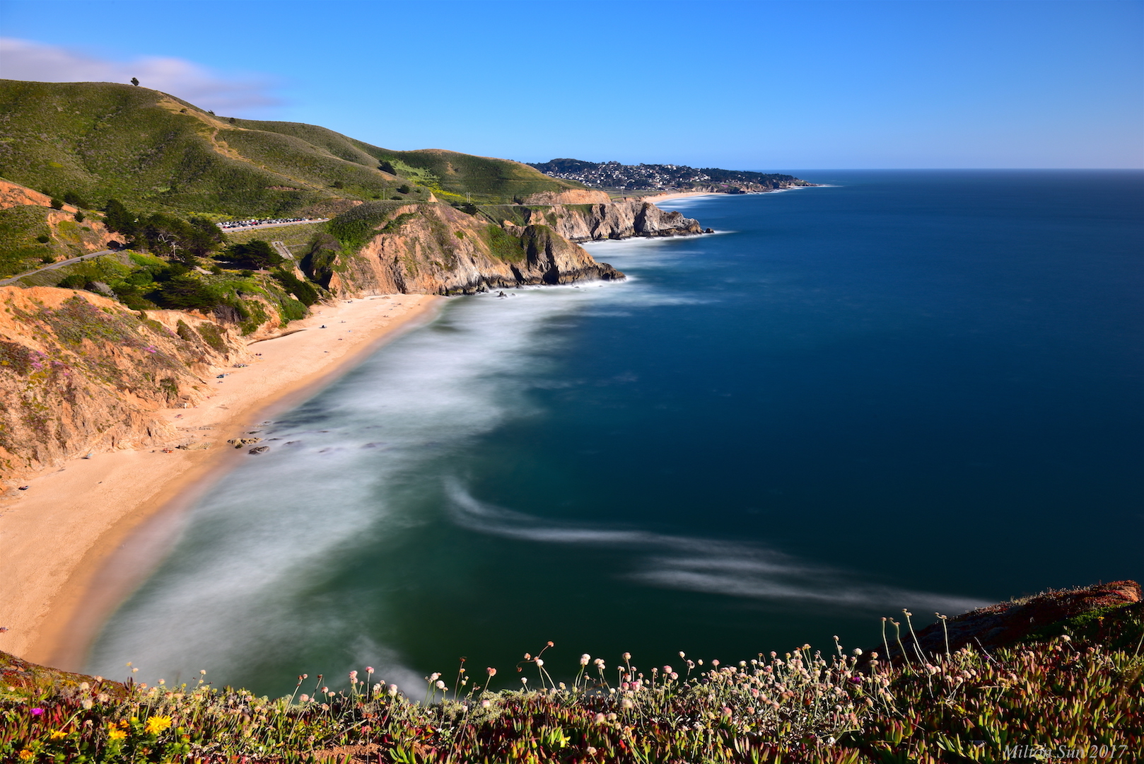
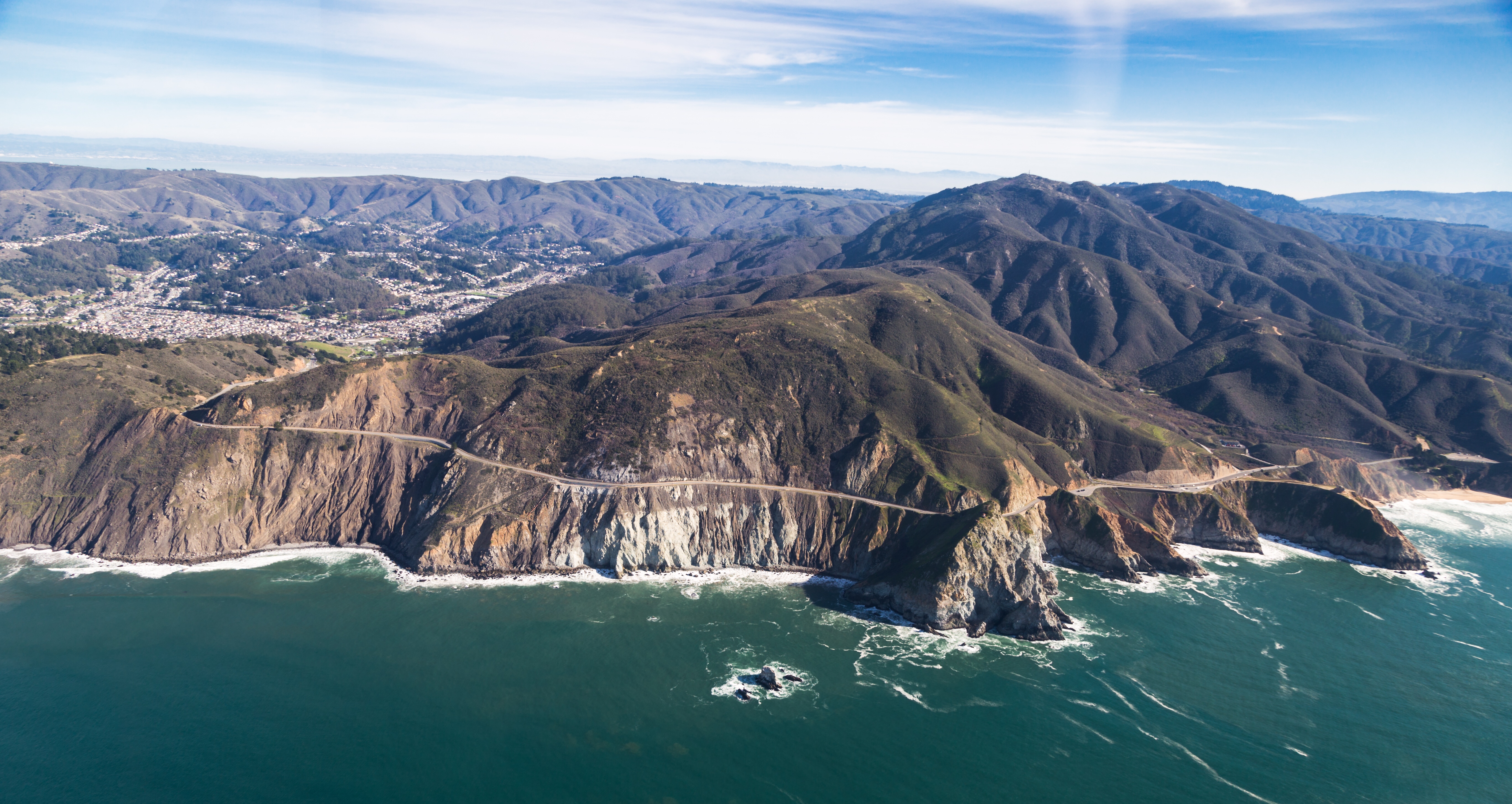
California Coastline

j. davis at the sign hill summit

[Rolling...] at San Andreas Lake, San Bruno, CA
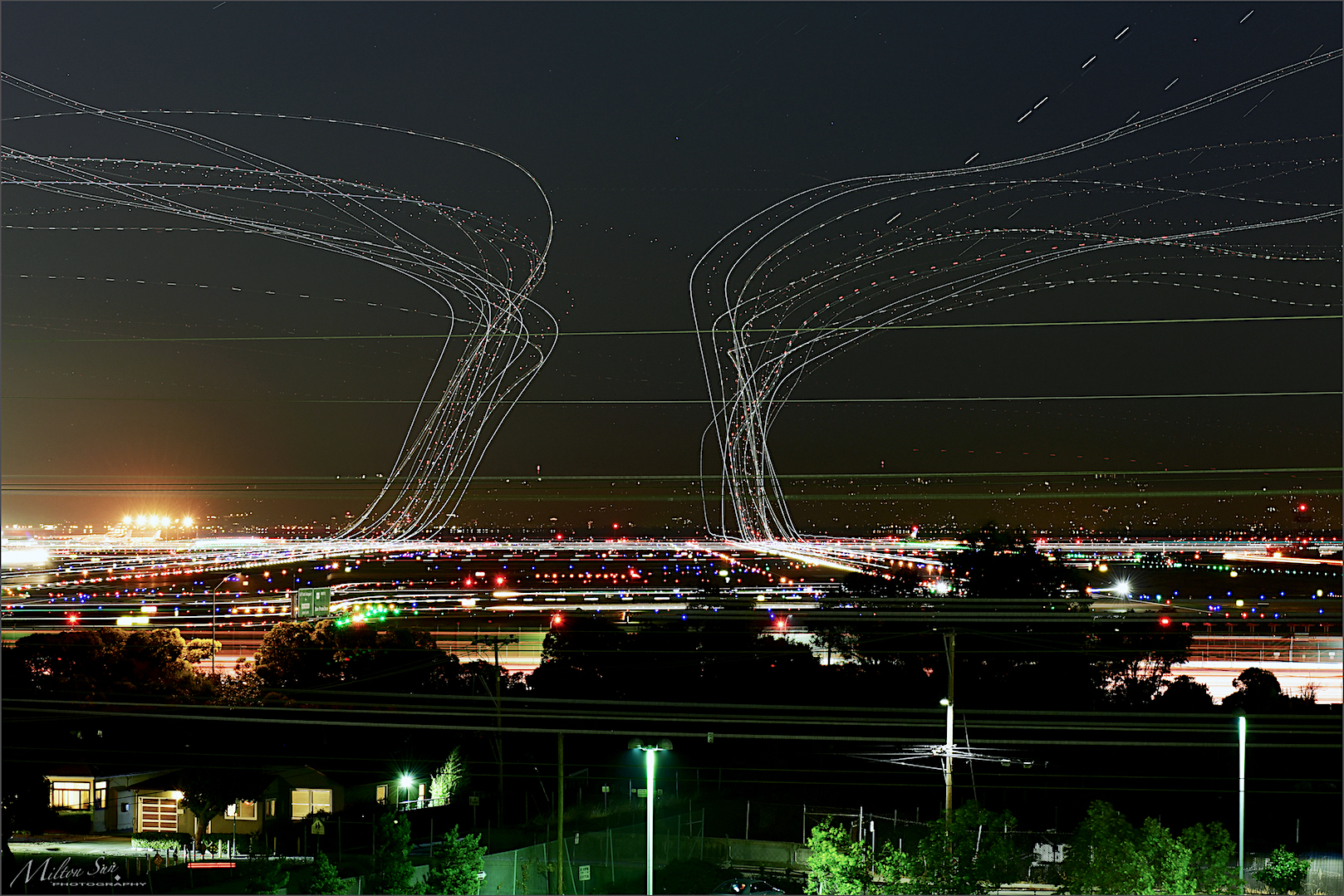
forever circling

over gateway curve

peru avenue park panorama

fault line guardian

0P40_5481-9

Do you see me?

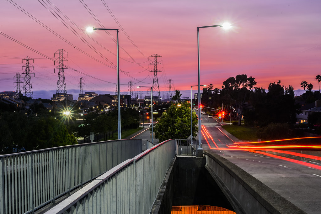
tom lantos exit

valmar terrace overlook

over the hill ll
Pacifica, San Francisco

Watching the sunset and dramatic clouds

A Small Pier on the Bay

Early Evening on Saturday
Can I Calm Down the Waves?

Graywhale Cove State Beach

Boeing 777-322/ER face off at SFO

Sunset, Pacifica Jetty.

Moment of the day

Great Blue Over Montara Beach

constant erosion
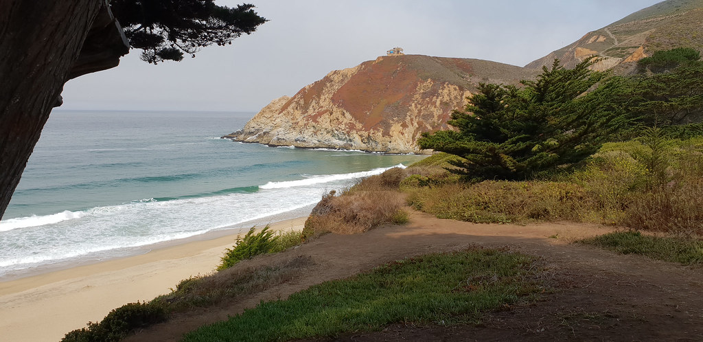
Graywhale Cove State Beach

Graywhale Cove State Beach

The other side of the dunes.

Wave watching....

Pacifica Pier at sunset
Topographic Map of Castenada Dr, Millbrae, CA, USA
Find elevation by address:

Places near Castenada Dr, Millbrae, CA, USA:
250 Castenada Dr
1808 Castenada Dr
Trousdale Drive
Mills Estates
100 Palm Ave
101 Palm Ave
110 Palm Ave
1371 Manzanita Dr
39 Willow Ave
Hunt Drive
330 Poplar Ave
241 El Bonito Way
199 Taylor Blvd
1547 Los Altos Dr
504 Richmond Dr
Burlingame Hills
1364 Vista Grande
Corte Balboa
927 Springfield Dr
12 Heather Pl
Recent Searches:
- Elevation of Congressional Dr, Stevensville, MD, USA
- Elevation of Bellview Rd, McLean, VA, USA
- Elevation of Stage Island Rd, Chatham, MA, USA
- Elevation of Shibuya Scramble Crossing, 21 Udagawacho, Shibuya City, Tokyo -, Japan
- Elevation of Jadagoniai, Kaunas District Municipality, Lithuania
- Elevation of Pagonija rock, Kranto 7-oji g. 8"N, Kaunas, Lithuania
- Elevation of Co Rd 87, Jamestown, CO, USA
- Elevation of Tenjo, Cundinamarca, Colombia
- Elevation of Côte-des-Neiges, Montreal, QC H4A 3J6, Canada
- Elevation of Bobcat Dr, Helena, MT, USA