Elevation of Casimir Rd, St.-Charles, ON P0M 2W0, Canada
Location: Canada > Ontario > Sudbury District > St.-charles >
Longitude: -80.412920
Latitude: 46.3420879
Elevation: 210m / 689feet
Barometric Pressure: 99KPa
Elevation Map:
Satellite Map:
Related Photos:
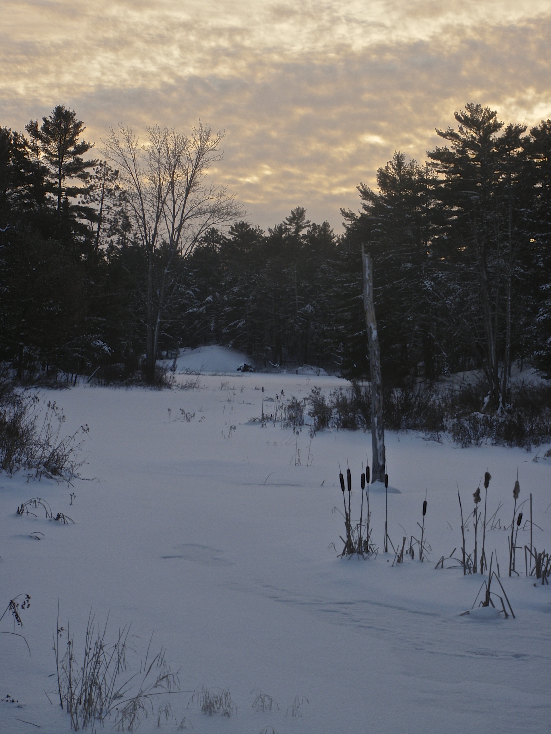
Channel Outlet

West Arm Rest Stop
Atakas Trail
Atakas Ridge
Deer Bed
More Bog
Road Trip Rest Stop
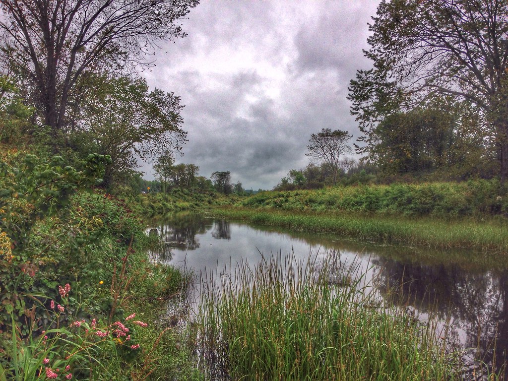
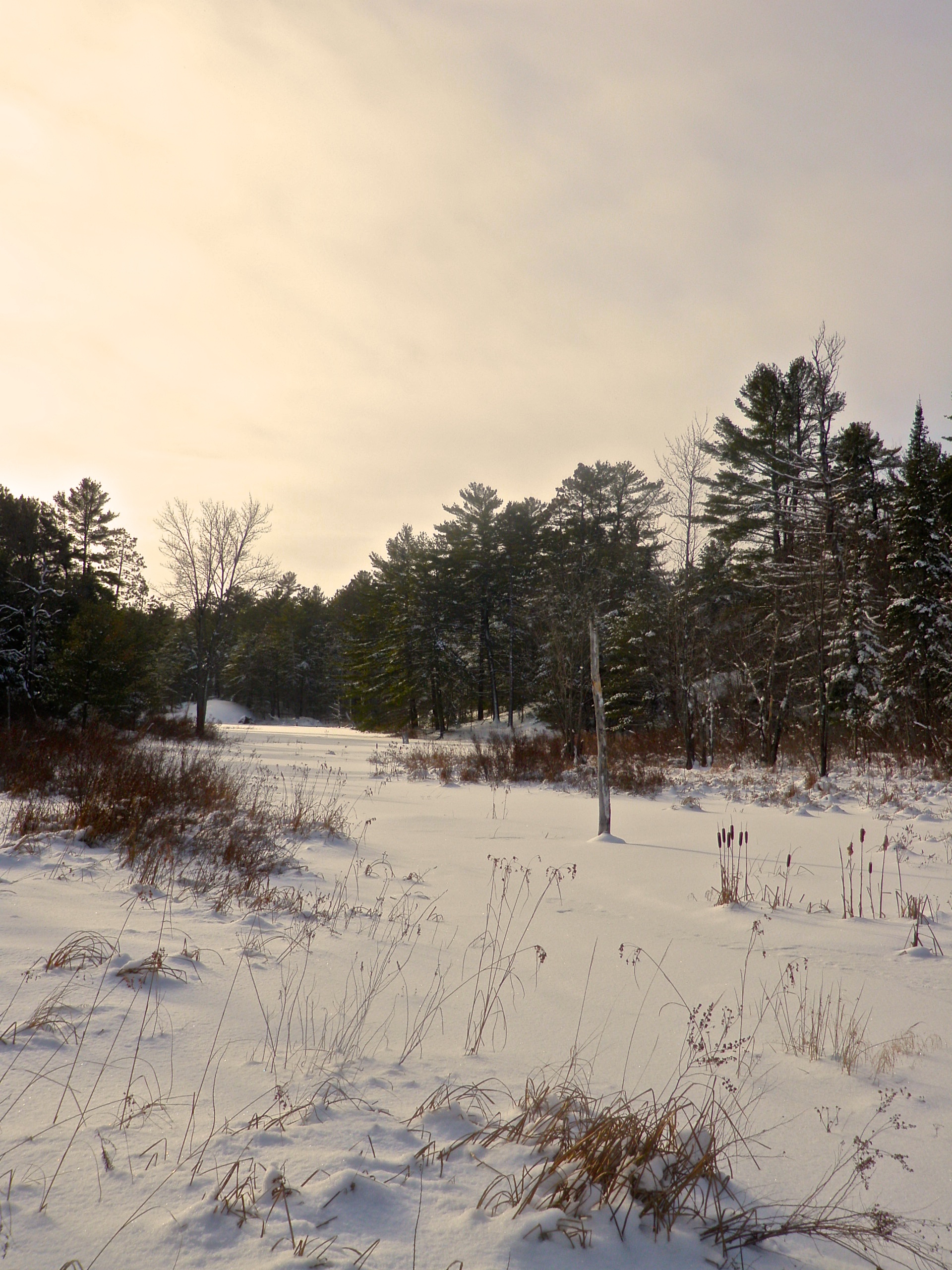
More Marsh
Atakas Marsh
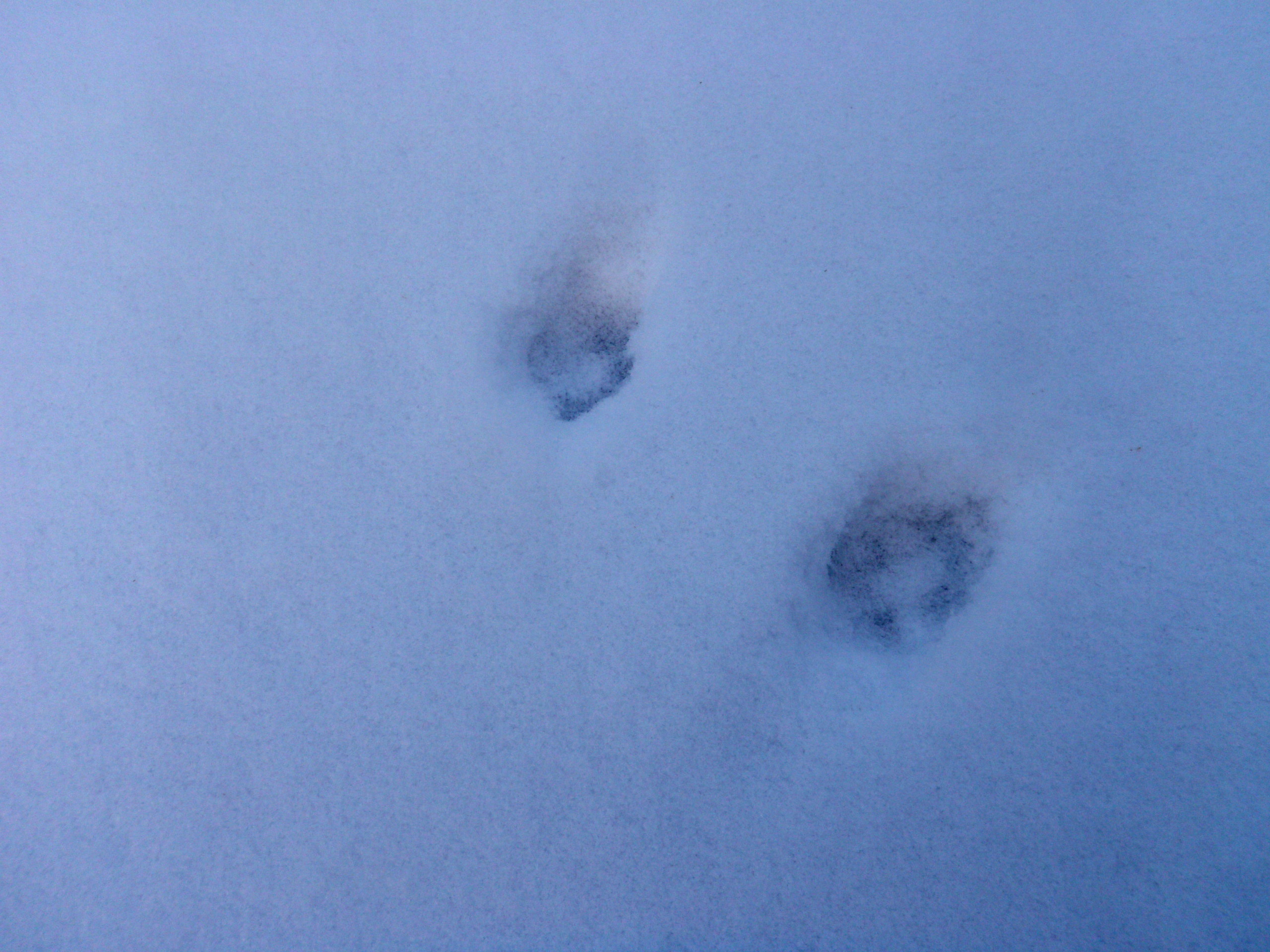
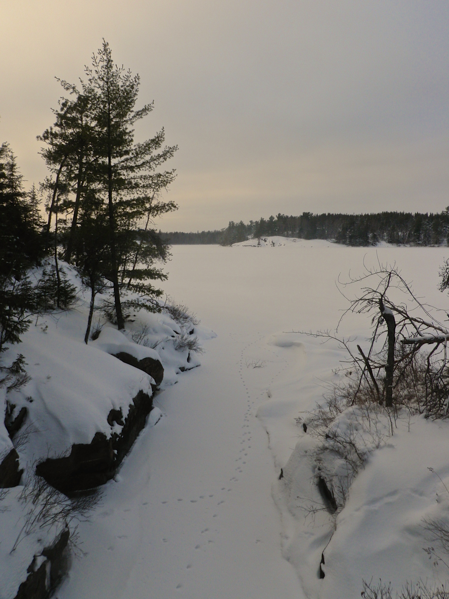
Canine Tracks
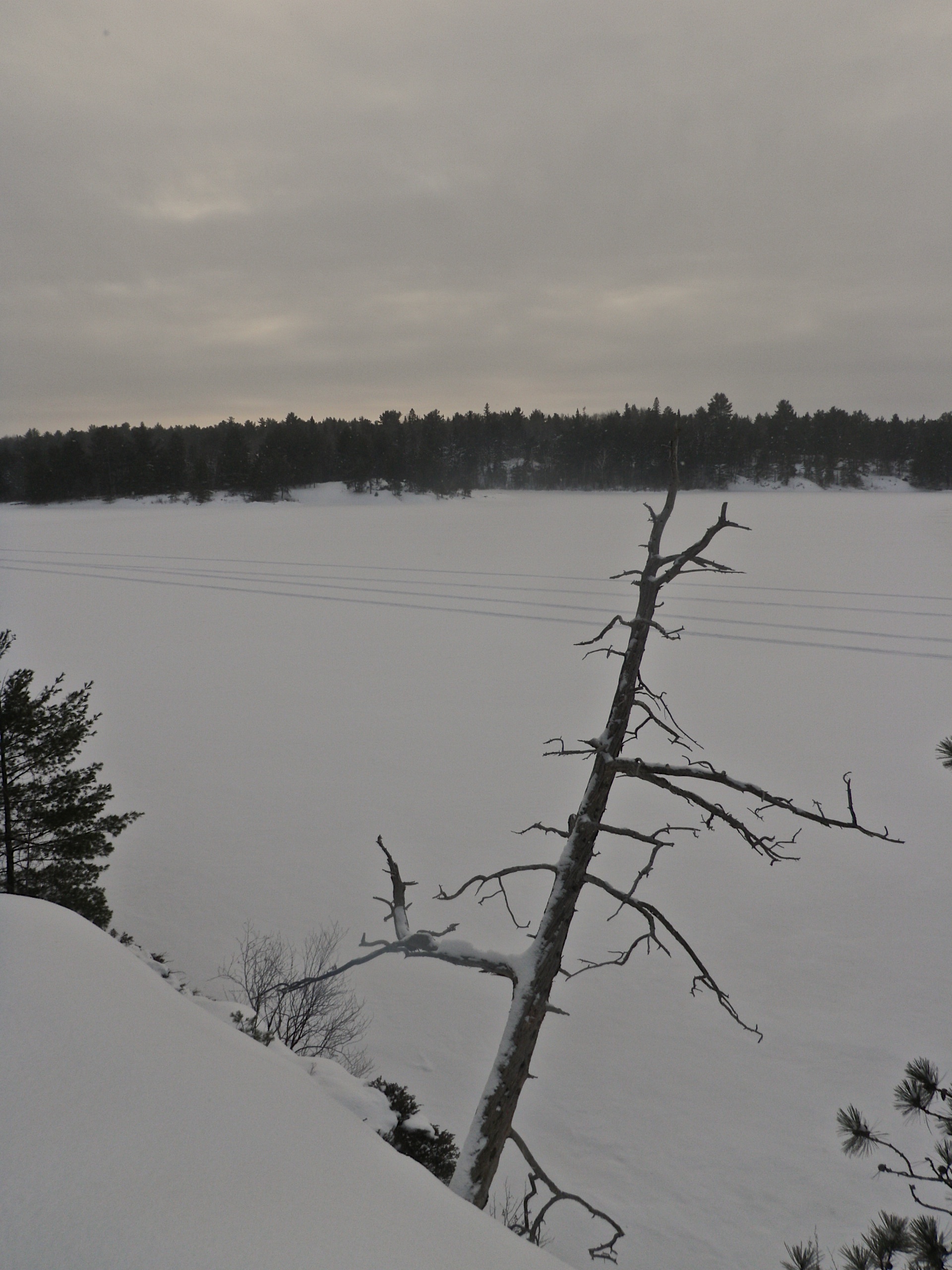
Leaning Tree
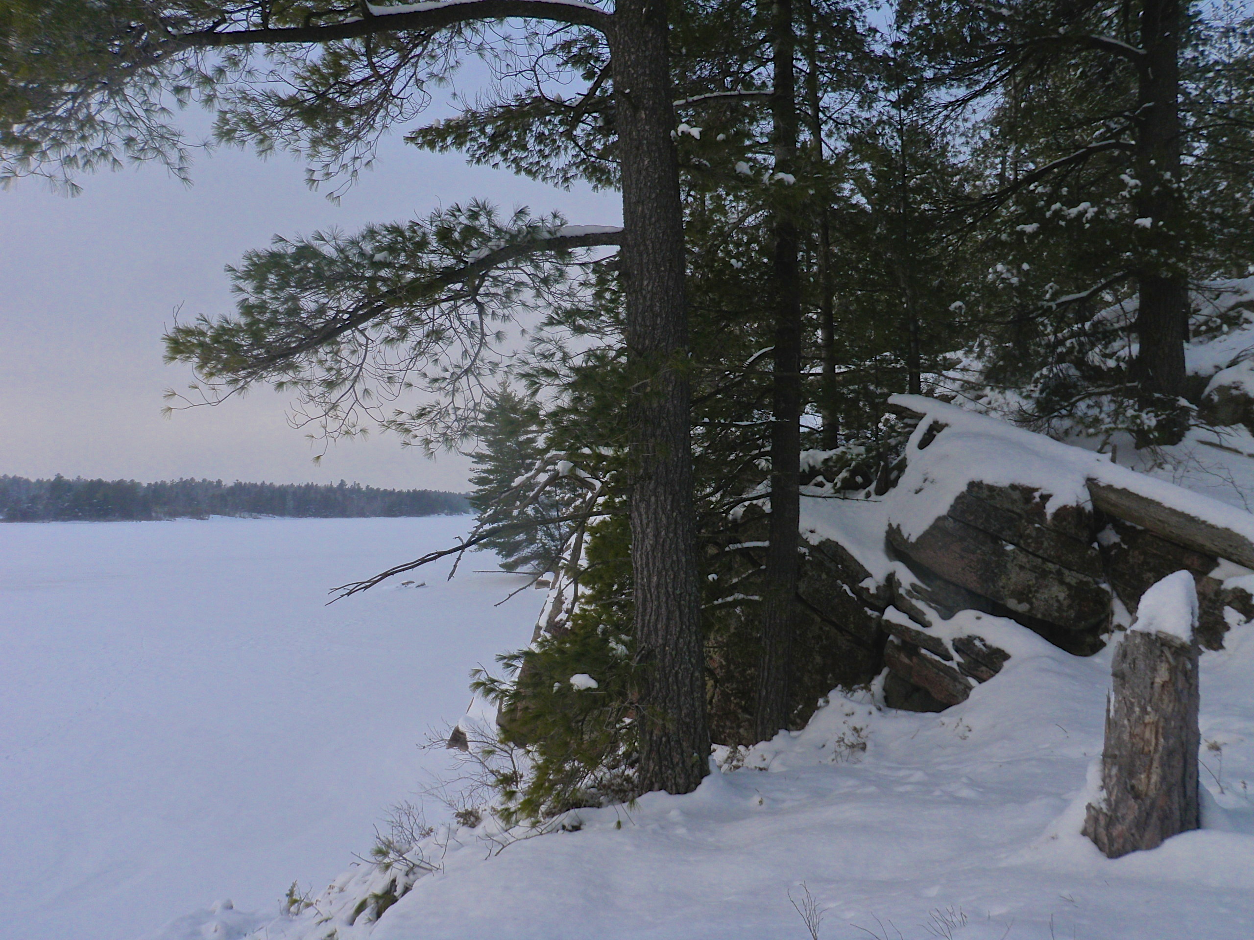
Another Coastal Trail Lookout
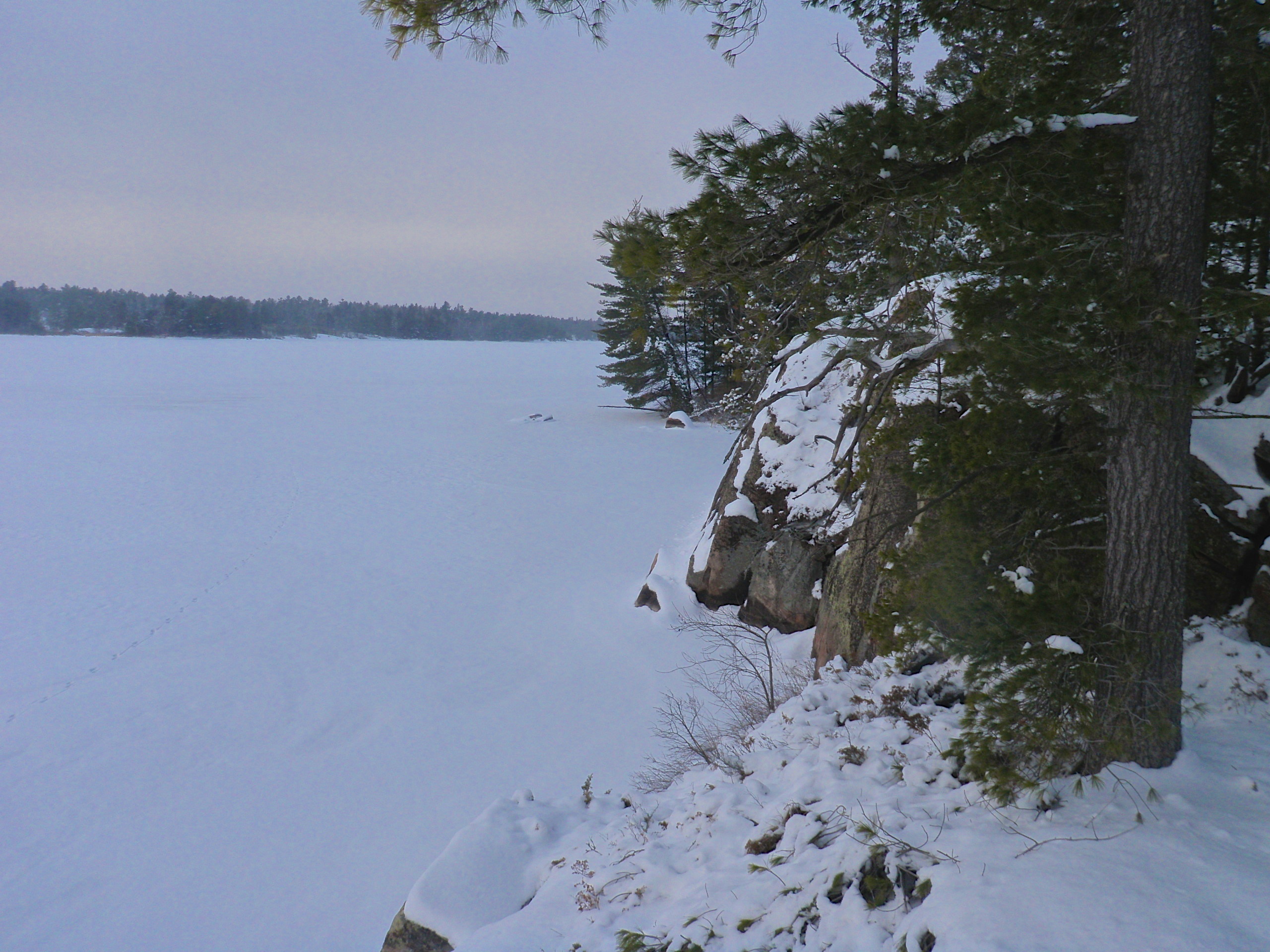
Coastal Trail Lookout
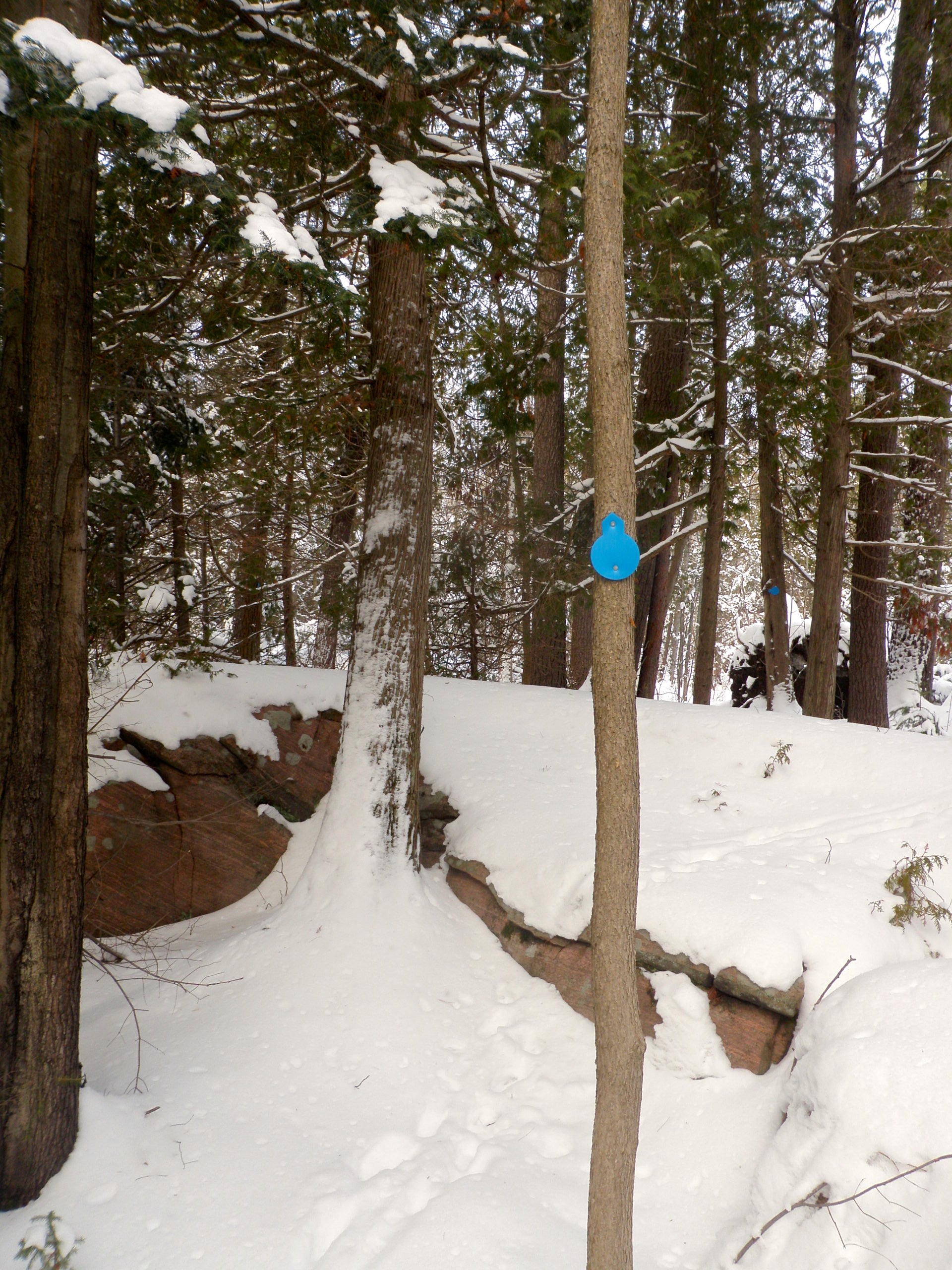
Trail Marker
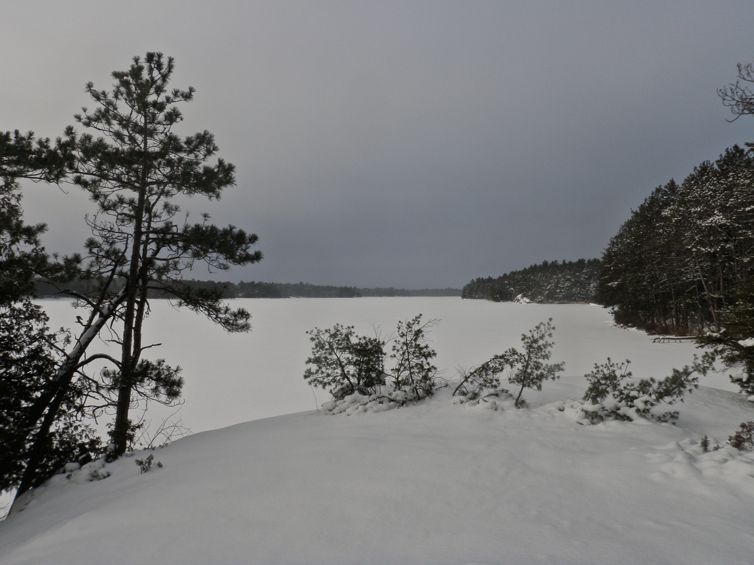
Lake Nipissing
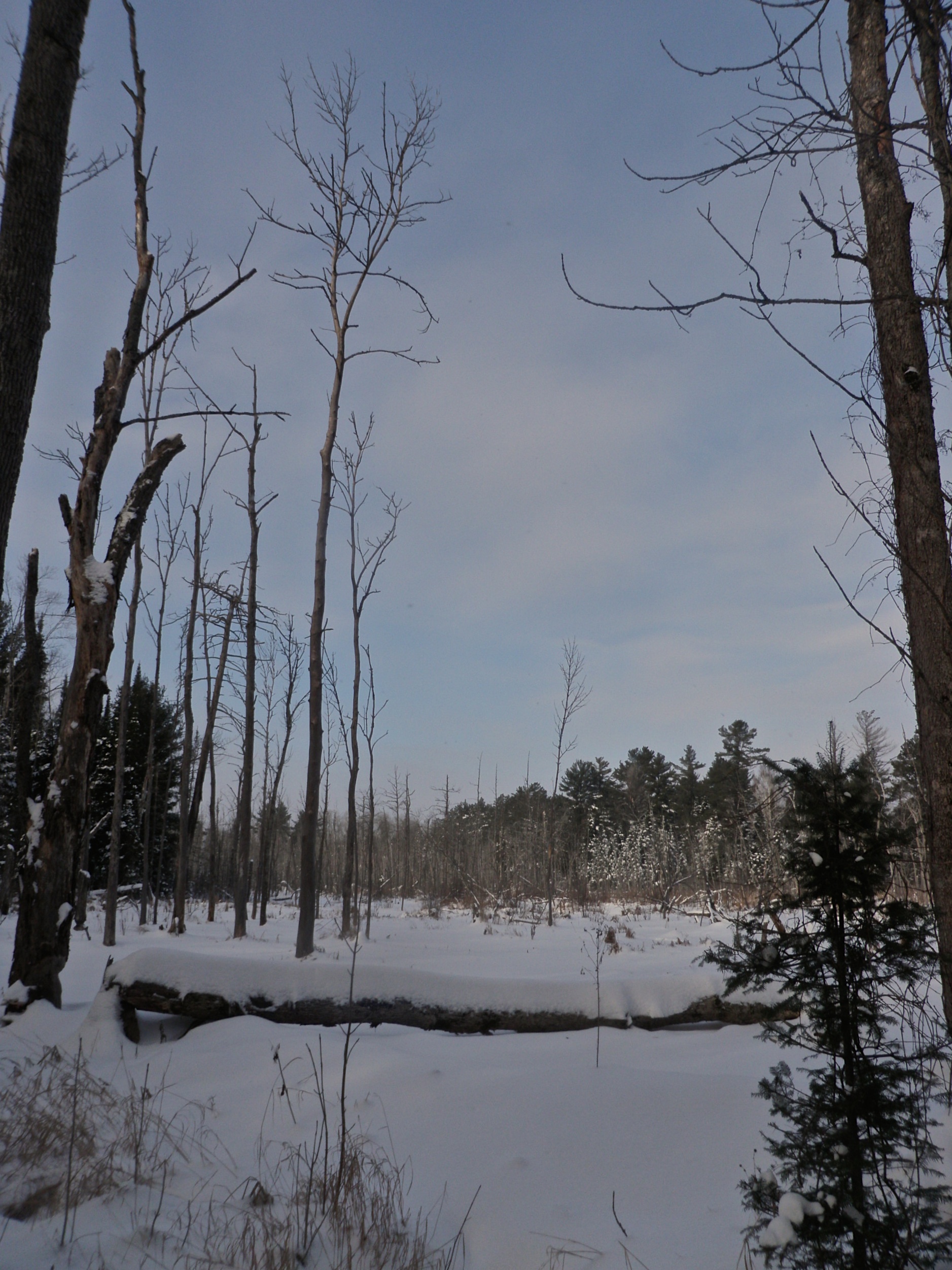
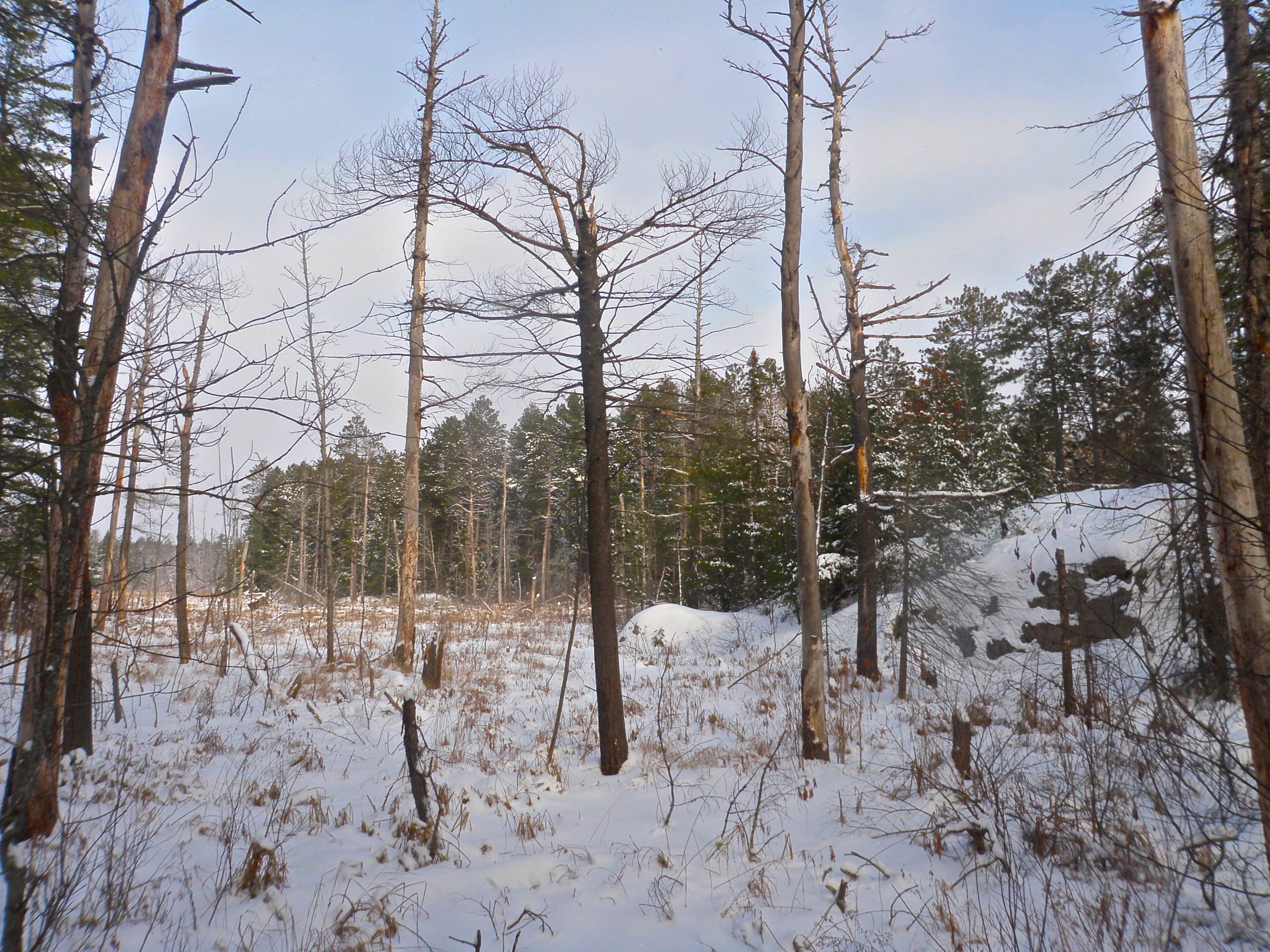
More Bog
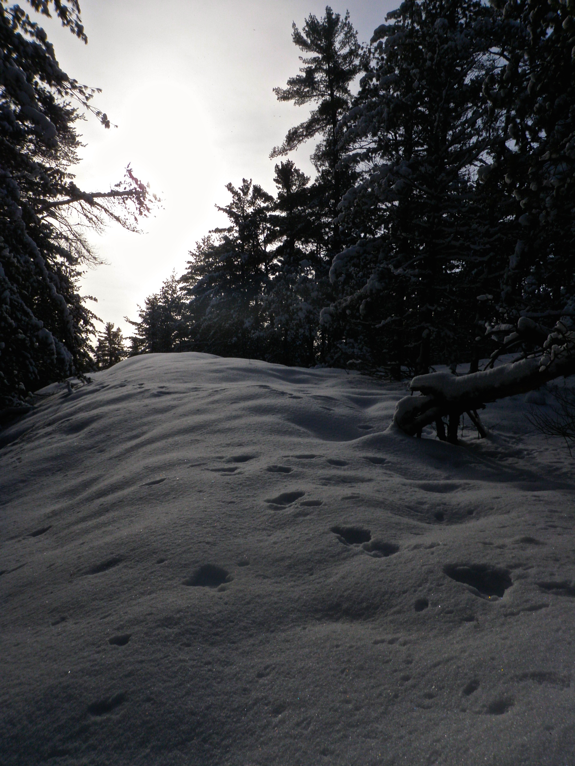
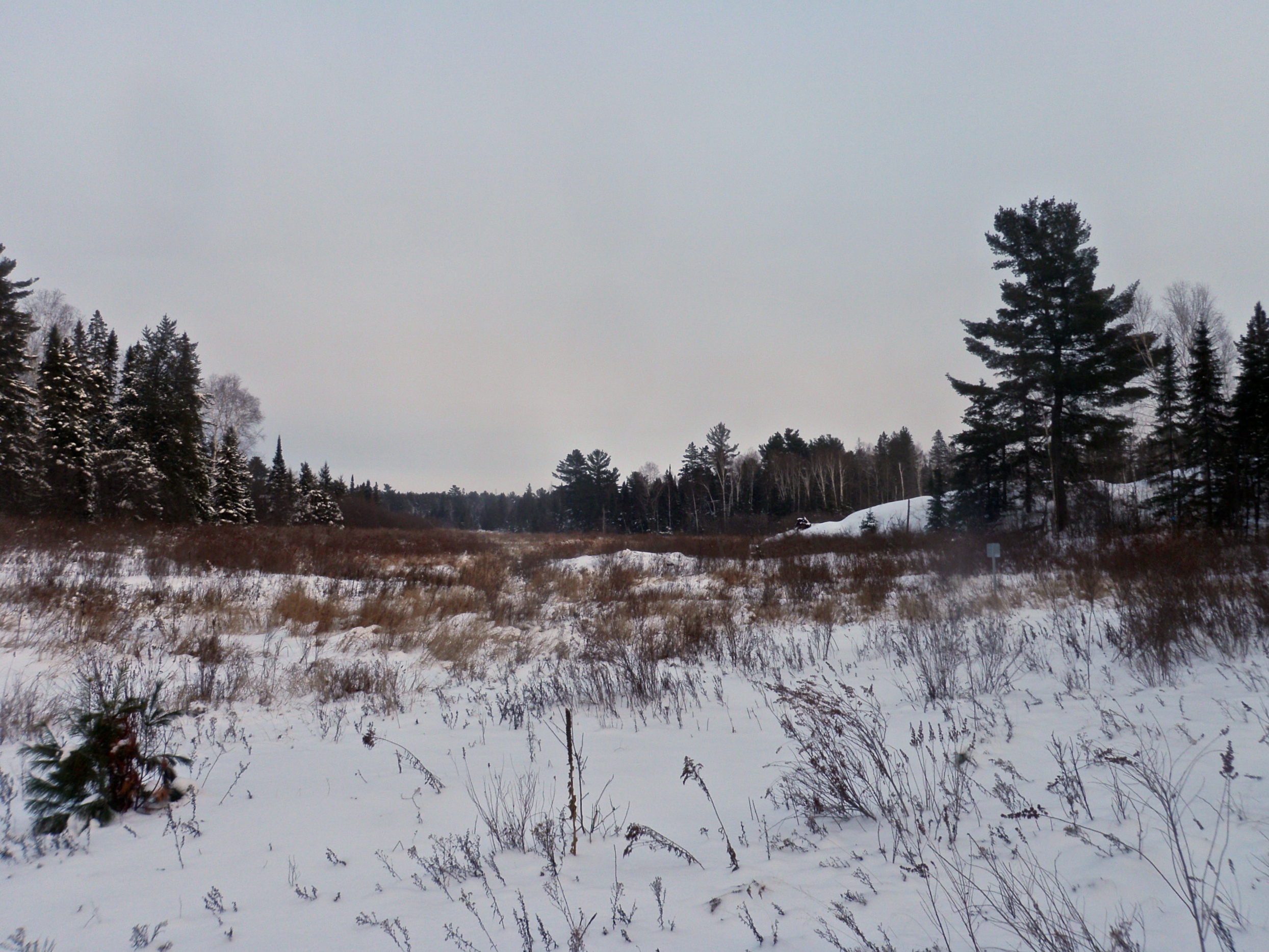
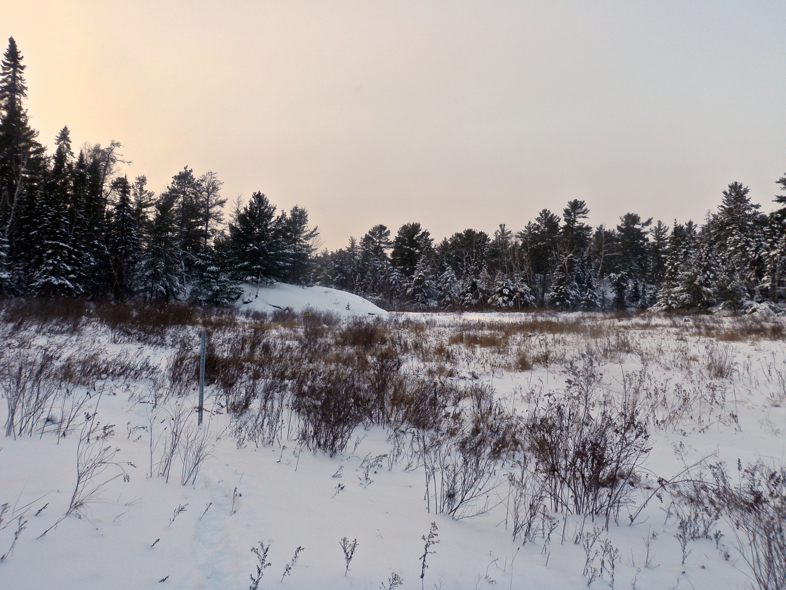
Snowy Ridge
Stick Again
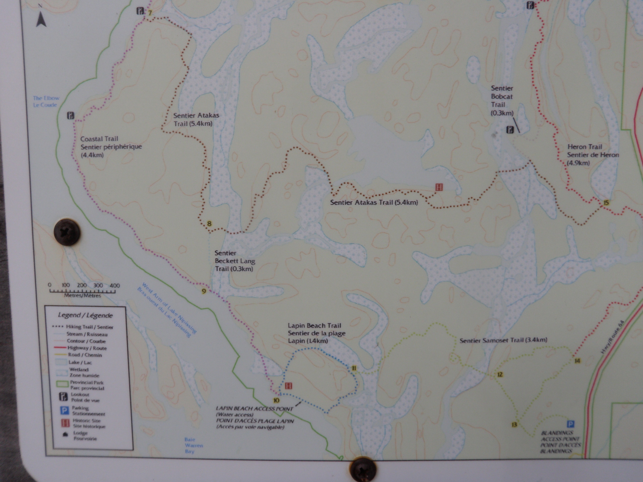
Detail Map
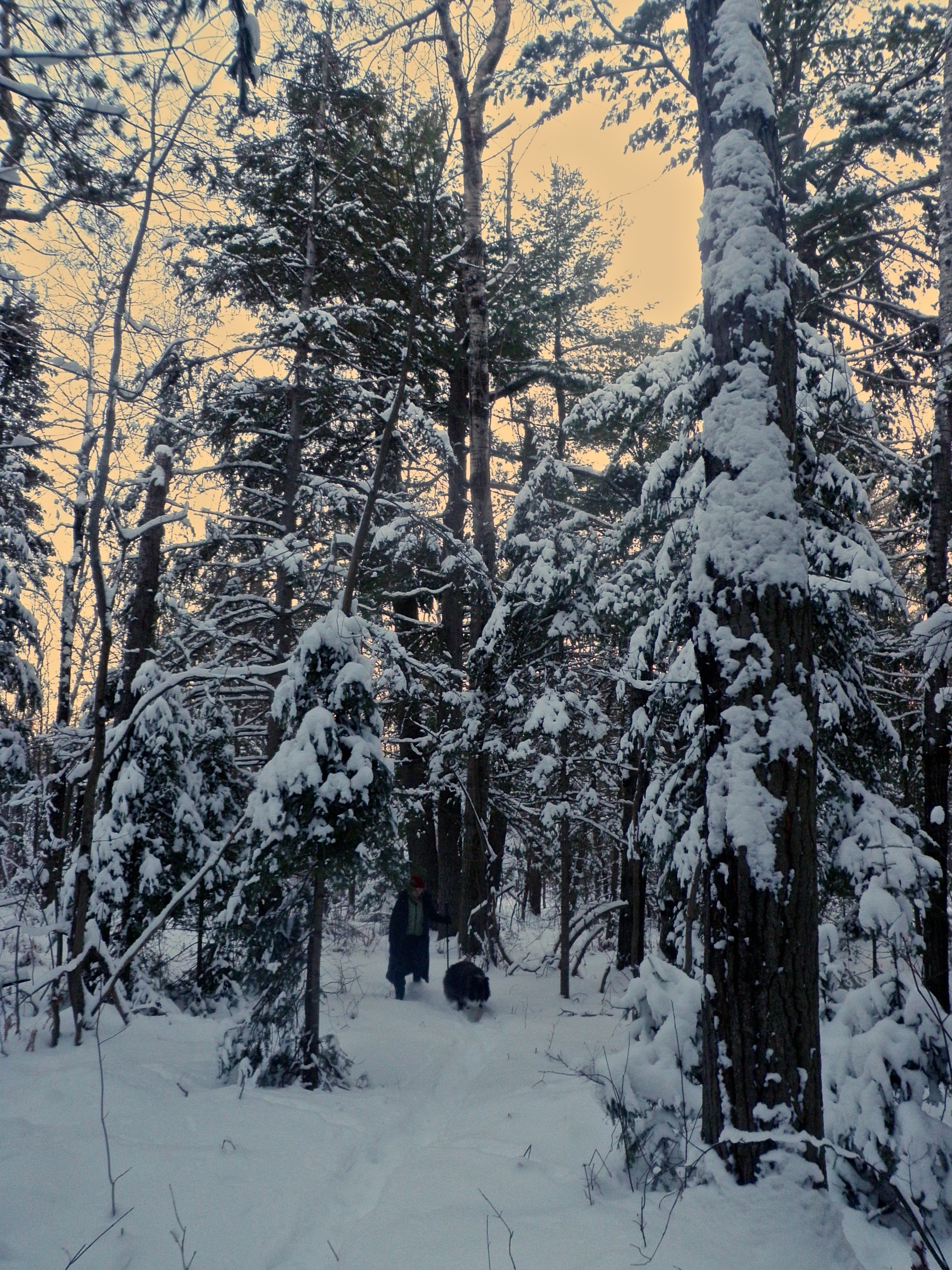
Sherri & Dakota
Stick Sans Shadow
Topographic Map of Casimir Rd, St.-Charles, ON P0M 2W0, Canada
Find elevation by address:

Places near Casimir Rd, St.-Charles, ON P0M 2W0, Canada:
St.-charles
ON-64, Noëlville, ON P0M 2N0, Canada
Noëlville
Lavigne
328 Trottier Rd
Green Bay Rd, Noëlville, ON P0M 2N0, Canada
ON-A, Noëlville, ON P0M 2N0, Canada
Eighteen Mile Bay
French River
ON-64, French River, ON P0M, Canada
French River
Dry Pine Bay
Trans-Canada Hwy, Killarney, ON P0M, Canada
Hartley Bay Rd, Killarney, ON P0M, Canada
Hartley Bay Rd, Killarney, ON P0M, Canada
Trans-Canada Hwy, Killarney, ON P0G, Canada
Parry Sound, Unorganized, Centre Part
P0h 1y0
Trans-Canada Hwy, Parry Sound, Unorganized, Centre Part, ON P0G, Canada
767 Moxam Landing Rd
Recent Searches:
- Elevation of N, Mt Pleasant, UT, USA
- Elevation of 6 Rue Jules Ferry, Beausoleil, France
- Elevation of Sattva Horizon, 4JC6+G9P, Vinayak Nagar, Kattigenahalli, Bengaluru, Karnataka, India
- Elevation of Great Brook Sports, Gold Star Hwy, Groton, CT, USA
- Elevation of 10 Mountain Laurels Dr, Nashua, NH, USA
- Elevation of 16 Gilboa Ln, Nashua, NH, USA
- Elevation of Laurel Rd, Townsend, TN, USA
- Elevation of 3 Nestling Wood Dr, Long Valley, NJ, USA
- Elevation of Ilungu, Tanzania
- Elevation of Yellow Springs Road, Yellow Springs Rd, Chester Springs, PA, USA