Elevation of Cartersburg Rd, Danville, IN, USA

Location: United States > Indiana > Hendricks County > Liberty Township >

Longitude: -86.472479

Latitude: 39.708612

Elevation: 234m / 768feet

Barometric Pressure: 99KPa

Elevation Map:

elevation map of Cartersburg Rd, Danville, IN, USA

Satellite Map:

Satellite map of Cartersburg Rd, Danville, IN, USA

Related Photos:

county longexposure nightphotography storm night digital photoshop canon rebel raw doug © indiana marion strike lightning sharpen dslr 1001nights storms camby xsi topaz adjust cs3 riceworld waggoner hoosierstate denoise 450d diamondclassphotographer flickrdiamond indianathunderstorms project3652010
217/365 - ..and the lightning strikes
county white black barn digital rural photoshop canon silver rebel raw farm doug © indiana pro morgan bluffs dslr mooresville xsi topaz cs3 riceworld waggoner hoosierstate denoise efex 450d project3652010
246/365 - Bluffs Barn
county wood digital photoshop canon fence rebel photo wooden high raw dynamic doug © indiana sharpen morgan dslr range hdr xsi topaz cs3 riceworld friendswood waggoner hoosierstate denoise 450d project3652010
244/365 - Drive by fencing
county longexposure nightphotography detail gardens digital photoshop canon rebel waterfall rocks raw friendship doug © indiana layers dslr xsi topaz hendricks plainfield cs3 riceworld waggoner hoosierstate denoise 450d project3652010
131/365 - Night Falls
road county red barn digital rural america photoshop canon rebel raw doug © indiana 600 dslr xsi topaz adjust cs3 riceworld friendswood waggoner hoosierstate superphotographer denoise 450d project3652010
77/365 - Red Barn
park county bridge white robert gardens digital creek photoshop canon rebel raw friendship doug © indiana pedestrian lick trail filter 09 nd layers ward dslr density xsi topaz hendricks adjust plainfield neutral cs3 riceworld waggoner hoosierstate denoise 450d project3652010
133/365 - White Lick Creek Bridge
county cemetery digital photoshop canon fence rebel photo high gate raw friendship dynamic path doug © indiana sharpen dslr range hdr xsi topaz hendricks cs3 riceworld friendswood waggoner hoosierstate denoise 450d project3652010
237/365 - Peaceful Path
county sunset digital photoshop canon rebel gold raw farm indianapolis postcard doug © indiana morgan dairy bluffs dslr mooresville xsi topaz cs3 riceworld waggoner hoosierstate denoise 450d project3652010
250/365 - Postcard
What I missed most in OKC
county longexposure detail gardens digital photoshop canon rebel waterfall raw friendship doug © trails indiana filter 09 cascades nd layers dslr density xsi topaz hendricks plainfield neutral cs3 riceworld waggoner hoosierstate denoise 450d project3652010
132/365 - Day Falls
park county bridge white robert gardens digital creek photoshop canon rebel raw friendship doug © indiana pedestrian lick trail filter 09 nd layers ward dslr density xsi topaz hendricks adjust plainfield neutral cs3 riceworld waggoner hoosierstate denoise 450d project3652010
134/365 - My view from the bridge
snow trails indiana snowfall greenway plainfield biketrail walkingtrail hendrickscounty plainfieldgreenwaysvandaliarailtrailsystem saratogaparkway vandaliarail
Plainfield Greenway Trail System
road county sunset barn digital rural america photoshop canon rebel raw doug © indiana dslr hdr mooresville 925 xsi topaz adjust cs3 riceworld waggoner hoosierstate denoise 450d project3652010
76/365 - Is it a shack or a barn??
county sunset saint silhouette statue digital photoshop canon hospital francis rebel raw doug curves © indiana morgan dslr distillery mooresville xsi topaz adjust cs3 riceworld waggoner hoosierstate denoise 450d project3652010
108/365 - Silhouette of Saint Francis
park county longexposure nightphotography sculpture fish digital photoshop canon rebel raw industrial doug © indiana landmark layers dslr xsi topaz hendricks adjust plainfield cs3 riceworld waggoner hoosierstate denoise 450d
128/365 - Big Fish
sunset shadow red sky cloud indianapolis indiana 2011 project52
40/52 -- Ablaze
park lake indiana plainfield hendrickscounty sodalisnaturepark
Sodalis Nature Park 2013
road county white ford cemetery barn digital rural america creek photoshop truck canon rebel raw time doug © indiana lick silo morgan dslr hdr mooresville xsi topaz adjust simpler cs3 riceworld waggoner hoosierstate denoise 450d project3652010
82/365 - A Simpler Time
county field digital photoshop canon fence silver rebel raw farm doug © indiana pro morgan bluffs dslr depth mooresville xsi topaz cs3 riceworld waggoner hoosierstate denoise efex 450d project3652010
247/365 - Drive by Fencing II
trees fall landscape seasons folige octoberfallseasonstreesfoligelandscape
Fall Landscape in Plainfield Avalon Estates
airport indianapolis
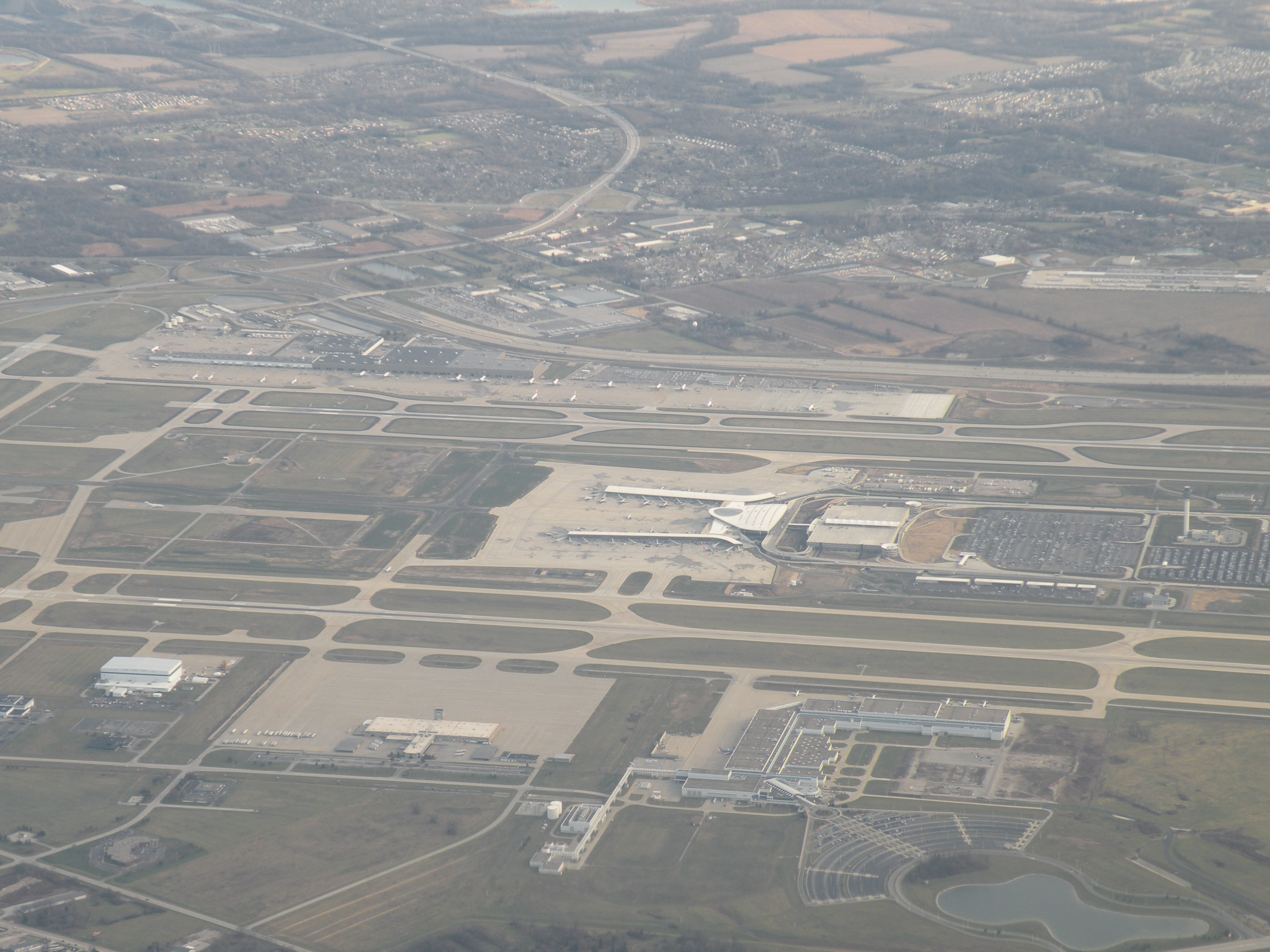
Indianapolis Airport
morning sky mist tree monochrome fog project landscape indiana 52 2015 brownsburg
10/52 -- Misty Morn
Getting closer.
square squareformat iphoneography instagramapp uploaded:by=instagram
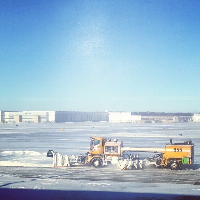
Beautiful drive home. #sunset #snow #winter #cold #fireinthesky #drivebyshooting
Montana 2K15
square squareformat iphoneography instagramapp uploaded:by=instagram
#sunset
square lofi squareformat iphoneography instagramapp uploaded:by=instagram
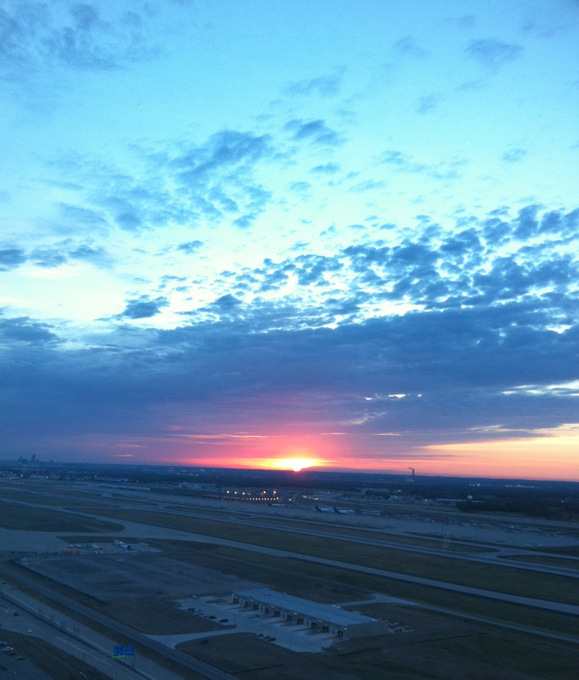
Another fun #sunrise today. Gonna get up to 60f today. Inside all day @robertscamera #bummer #thegreatwarmup #drivebyshooting #clouds #indy #airport
park county longexposure bridge trees nature water digital creek photoshop canon rebel photo washington raw dynamic doug © trails indiana pedestrian dslr avon hdr township xsi topaz hendricks adjust cs3 riceworld waggoner hoosierstate denoise 450d project3652010
140/365 - Lost in the woods
parks gazebo pavilion plainfield hendrickscounty
Friendship Garden's Gazebo Pavilion after ice storm
square squareformat mayfair iphoneography instagramapp uploaded:by=instagram
#sunset #skyporn #drivebyshooting #clouds #airport
county sunset church night digital photoshop canon rebel raw farm indianapolis doug © indiana victory clear baptist rolls hay morgan bluffs dslr mooresville xsi topaz hendricks cs3 riceworld waggoner hoosierstate denoise 450d project3652010
251/365 - Roll in the hay
uploaded:by=flicksquare foursquare:venue=4a9a941cf964a520e43120e3 geo:lat=39715175971358605 geo:lon=8629765033721924
At Indianapolis International Airport (IND)
square lofi squareformat iphoneography instagramapp uploaded:by=instagram
"Every European goes on the streets and sees medieval churches. Not if you live in Indianapolis."
DSC03769.jpg
water fall
summer color tree weather clouds rural buildings nikon barns indiana cloudsstormssunsetssunrises
Sunset and Silo
jchart indianapolisapartments lindensquare avonapartments
Indianapolis Apartments (Avon): Linden Square Village | Pond
usa 120 tlr film cemetery mediumformat unitedstates indiana yashica plainfield yashicad
Iron's Cemetery
railroad train indiana louisville avon 2378 gp392 gp39 bigfouryard
Louisville & Indiana 2378 - Avon, Indiana