Elevation of Carter Sells Rd, Johnson City, TN, USA
Location: United States > Tennessee > Washington County > Johnson City >
Longitude: -82.399896
Latitude: 36.301791
Elevation: 527m / 1729feet
Barometric Pressure: 95KPa
Elevation Map:
Satellite Map:
Related Photos:

Watching the Game

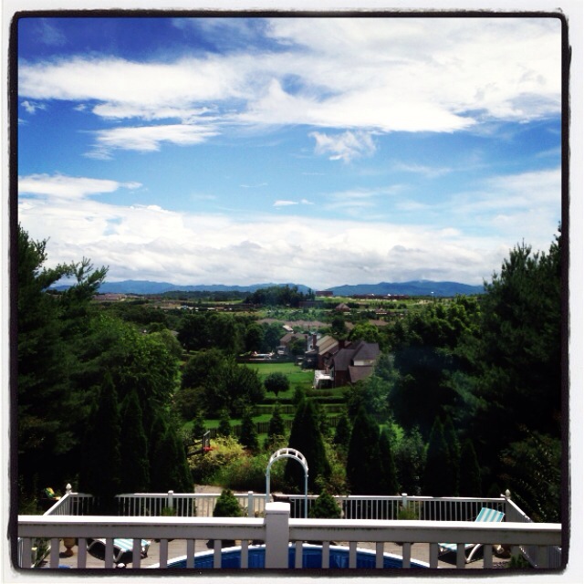
My view - what are you looking at right now?

Pinnacle Mountain Fire Tower HDR Panorama

203 walking down path to parking lot

Hale's Grocery
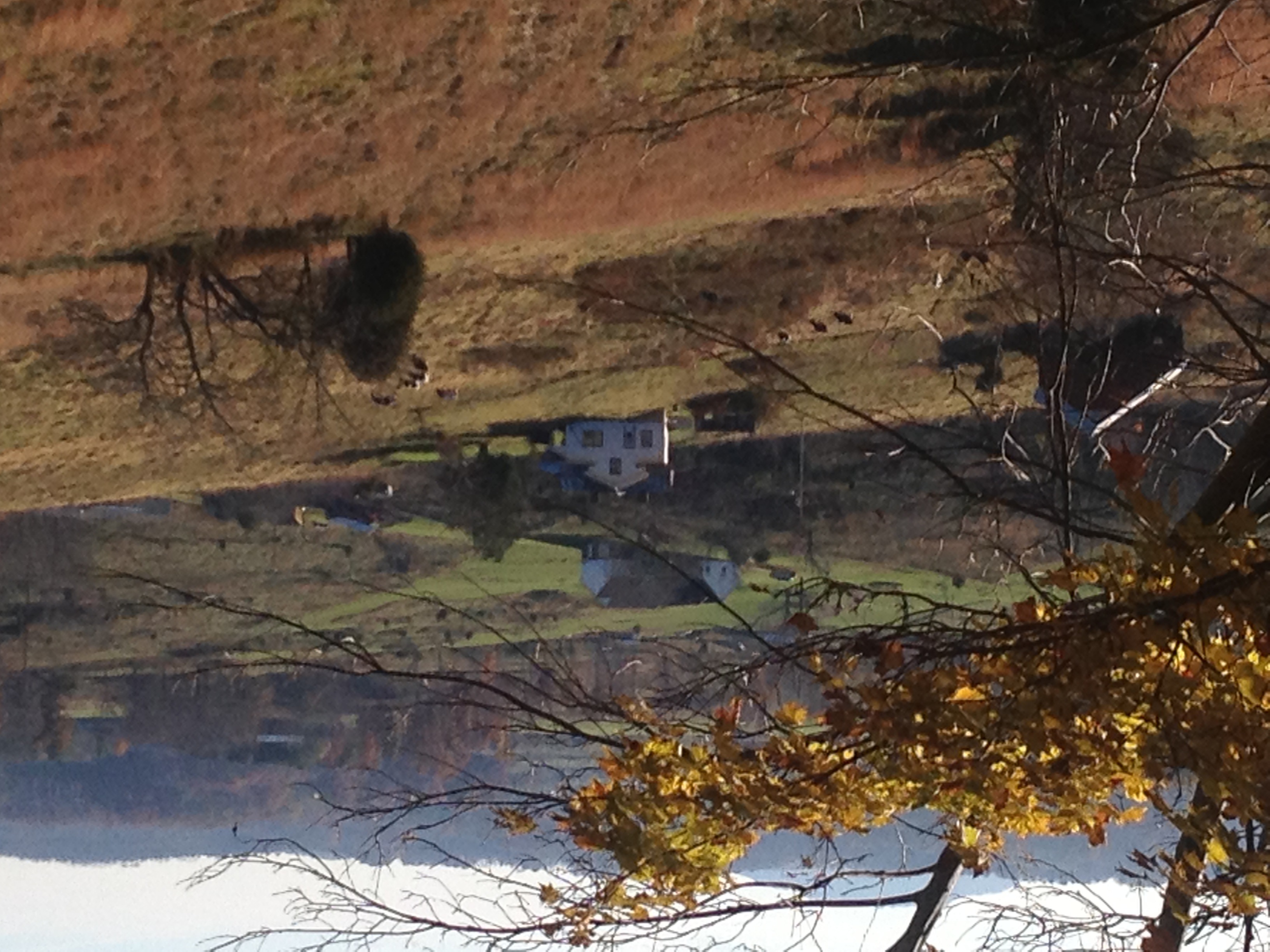
View of Gray, TN
Parents view.

195 Trail to top of hill at rest stop in Tennessee

201 Claire on the trail

Pinnacle Tower HDR Panorama 2
Great view

May Isolation Theme Entry

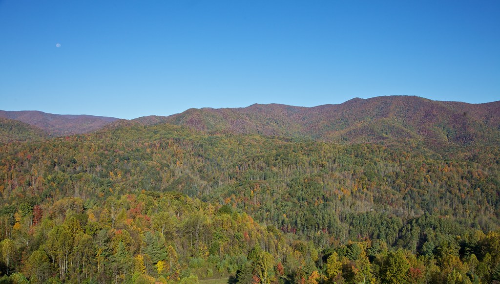
Buffalo Mountain

197 On the trail to the top

View from the Front Porch
199 View top of the trail

2013.12.27 125K Views
Johnson City Country Club

My view today
193 First Scenic Lookout on Hwy 26 East into Tenn
View of Gray

WP_20141124_040.JPG

Nolichucky River

IMG_0160.JPG

Pine Oaks Golf Course

Buffalo Pano
Weather Up Ahead
P1000298.JPG

2008-07-06 - July 4th And Mary Elizabeth & John's Visit (67)
WP_20141123_063.JPG

IMG_1583.JPG

Wetenschap Heuvel
Jonesborough, TN Rainbow
Spring Sunrise
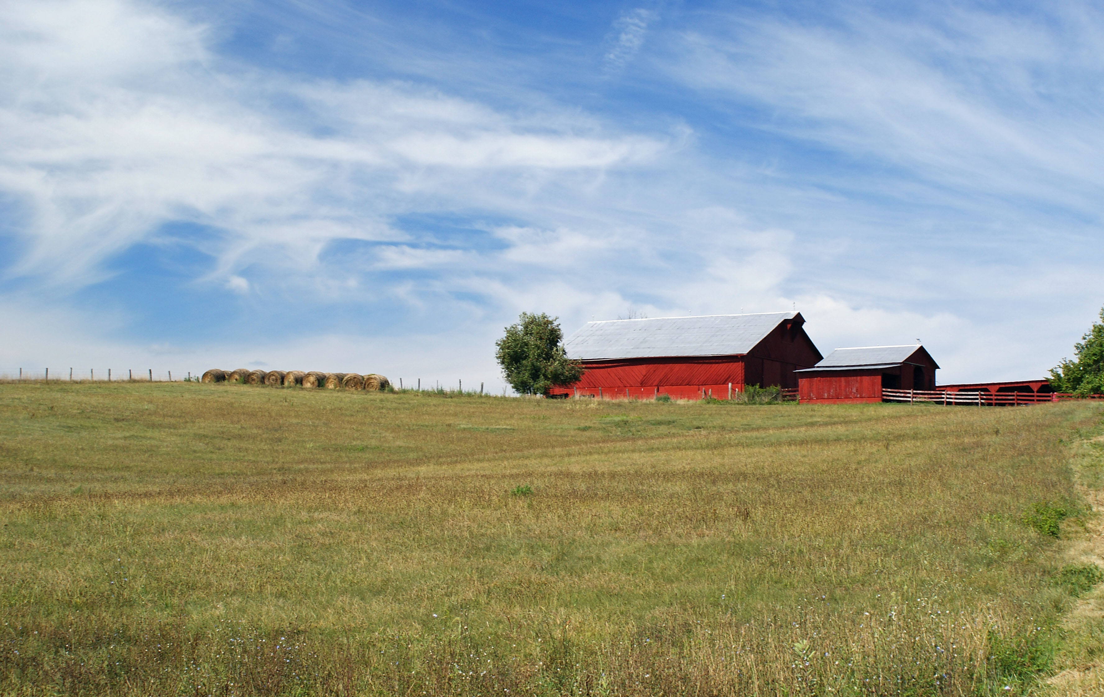
RED BARN
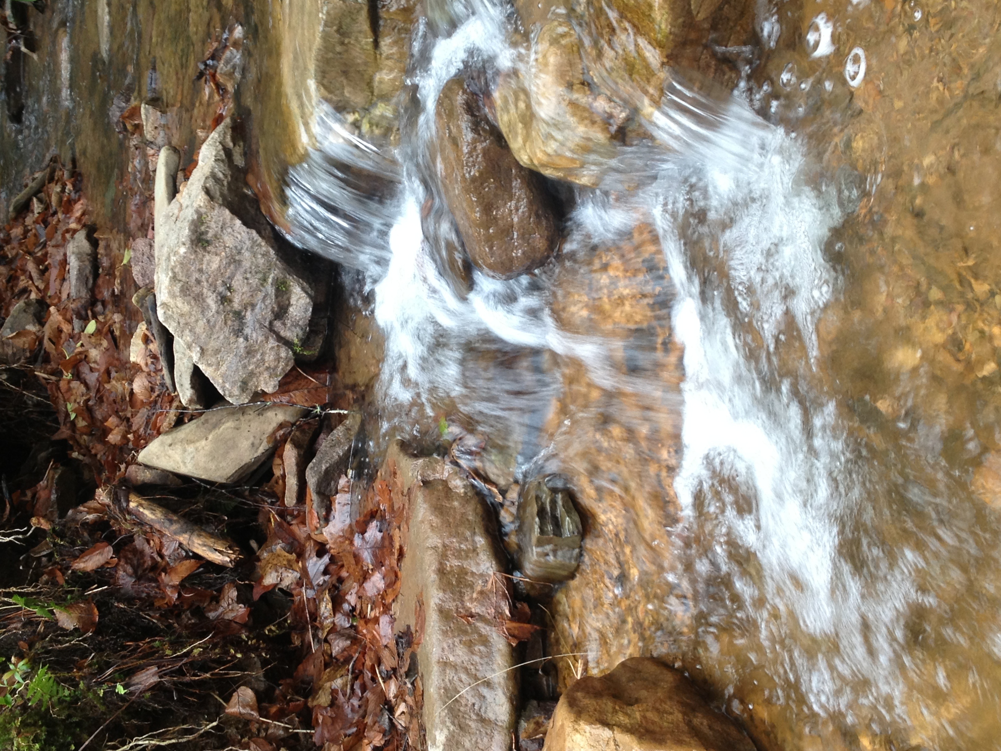
Dark Hollow Creek
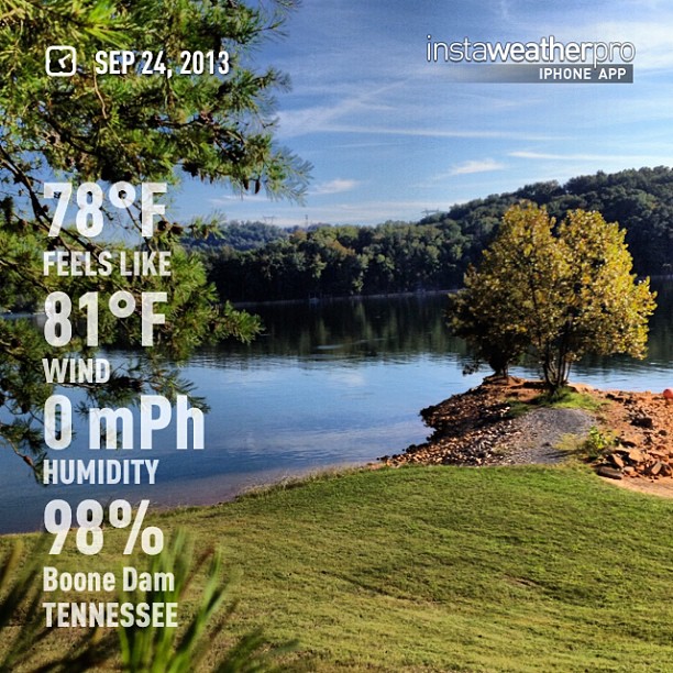
#weather #instaweather #instaweatherpro #sky #outdoors #nature #world #kingsport #unitedstates #day #autumn #us

spoiler - Green Mossy Tree
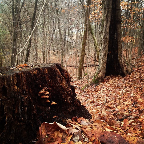
Lucky? Or dead ? Luck and Fate
Topographic Map of Carter Sells Rd, Johnson City, TN, USA
Find elevation by address:

Places near Carter Sells Rd, Johnson City, TN, USA:
1105 Lone Oak Rd
2209 S Greenwood Dr
1407 Lone Oak Rd
1317 N Barton St
East Tennessee State University - Quillen College Of Medicine
2969 Indian Ridge Rd
W Walnut St, Johnson City, TN, USA
Indian Ridge Rd, Johnson City, TN, USA
2 Sw Foxxborough Ln
6 Perry Cir
East Tennessee State University
Cherokee
4 Cherokee Ridge Ct
Gilbreath Drive
2107 Evergreen Dr
125 Alexander Dr
119 Alexander Dr
3744 W Market St
208 Bunton Rd
Johnson City, TN, USA
Recent Searches:
- Elevation of W Granada St, Tampa, FL, USA
- Elevation of Pykes Down, Ivybridge PL21 0BY, UK
- Elevation of Jalan Senandin, Lutong, Miri, Sarawak, Malaysia
- Elevation of Bilohirs'k
- Elevation of 30 Oak Lawn Dr, Barkhamsted, CT, USA
- Elevation of Luther Road, Luther Rd, Auburn, CA, USA
- Elevation of Unnamed Road, Respublika Severnaya Osetiya — Alaniya, Russia
- Elevation of Verkhny Fiagdon, North Ossetia–Alania Republic, Russia
- Elevation of F. Viola Hiway, San Rafael, Bulacan, Philippines
- Elevation of Herbage Dr, Gulfport, MS, USA