Elevation of Carrington Dr, Salt Lick, KY, USA
Location: United States > Kentucky > Bath County > Salt Lick >
Longitude: -83.625575
Latitude: 38.028566
Elevation: 225m / 738feet
Barometric Pressure: 99KPa
Elevation Map:
Satellite Map:
Related Photos:

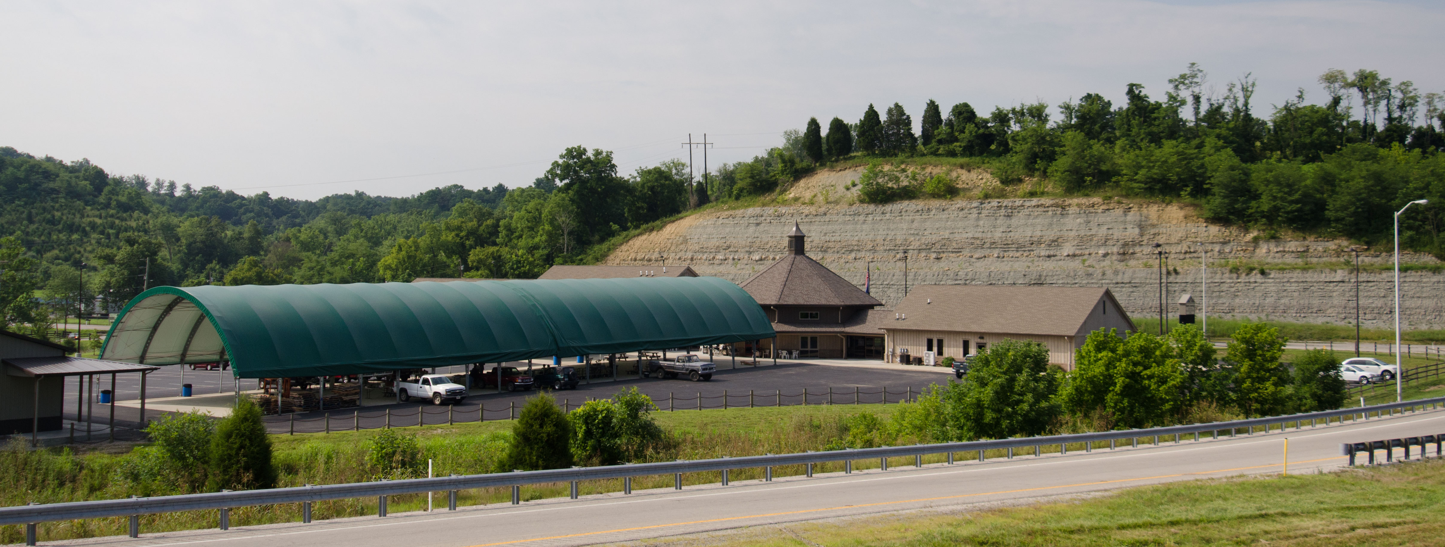
20110715-RD-LSC-0521
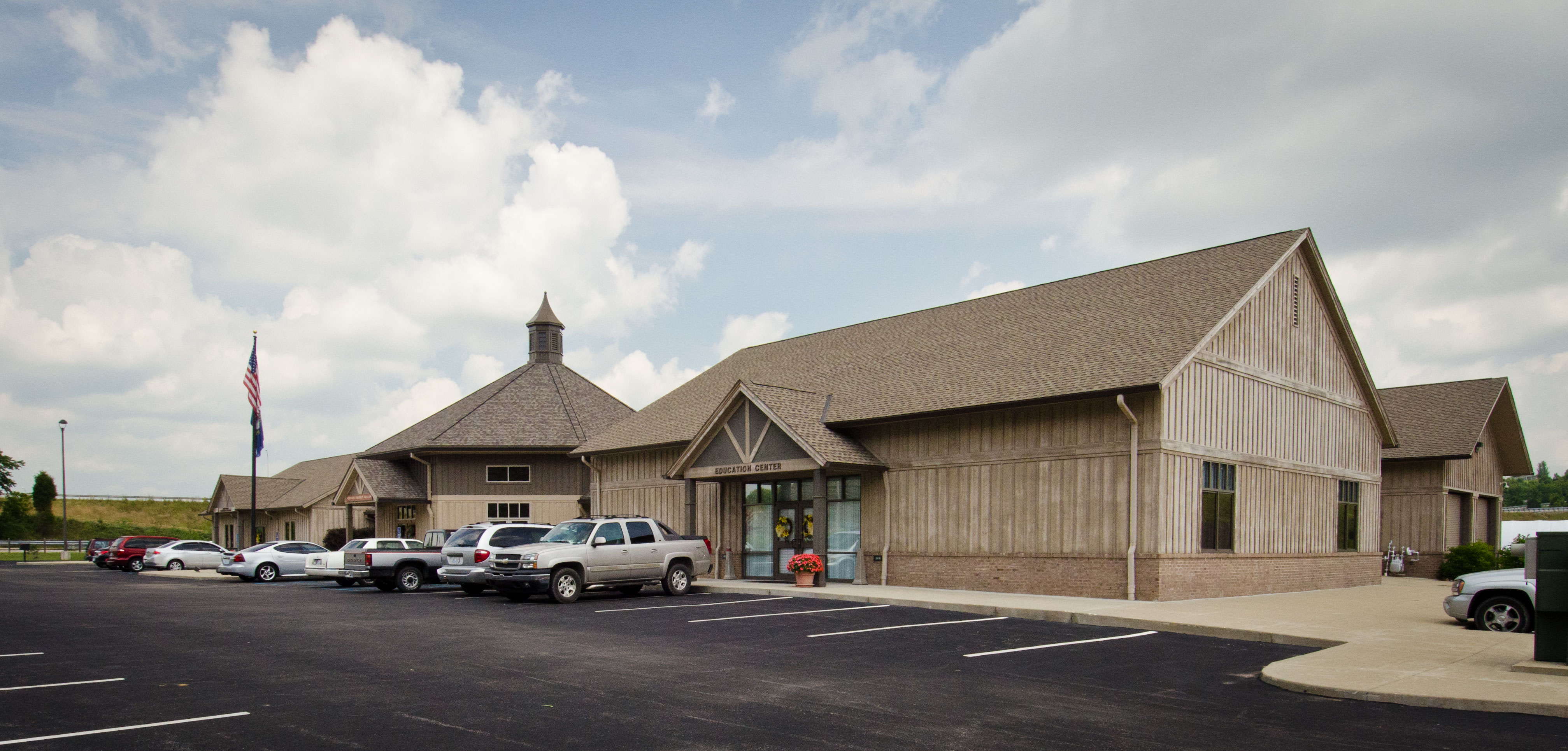
20110715-RD-LSC-0323
20110715-RD-LSC-0389
Cassidy Estate View
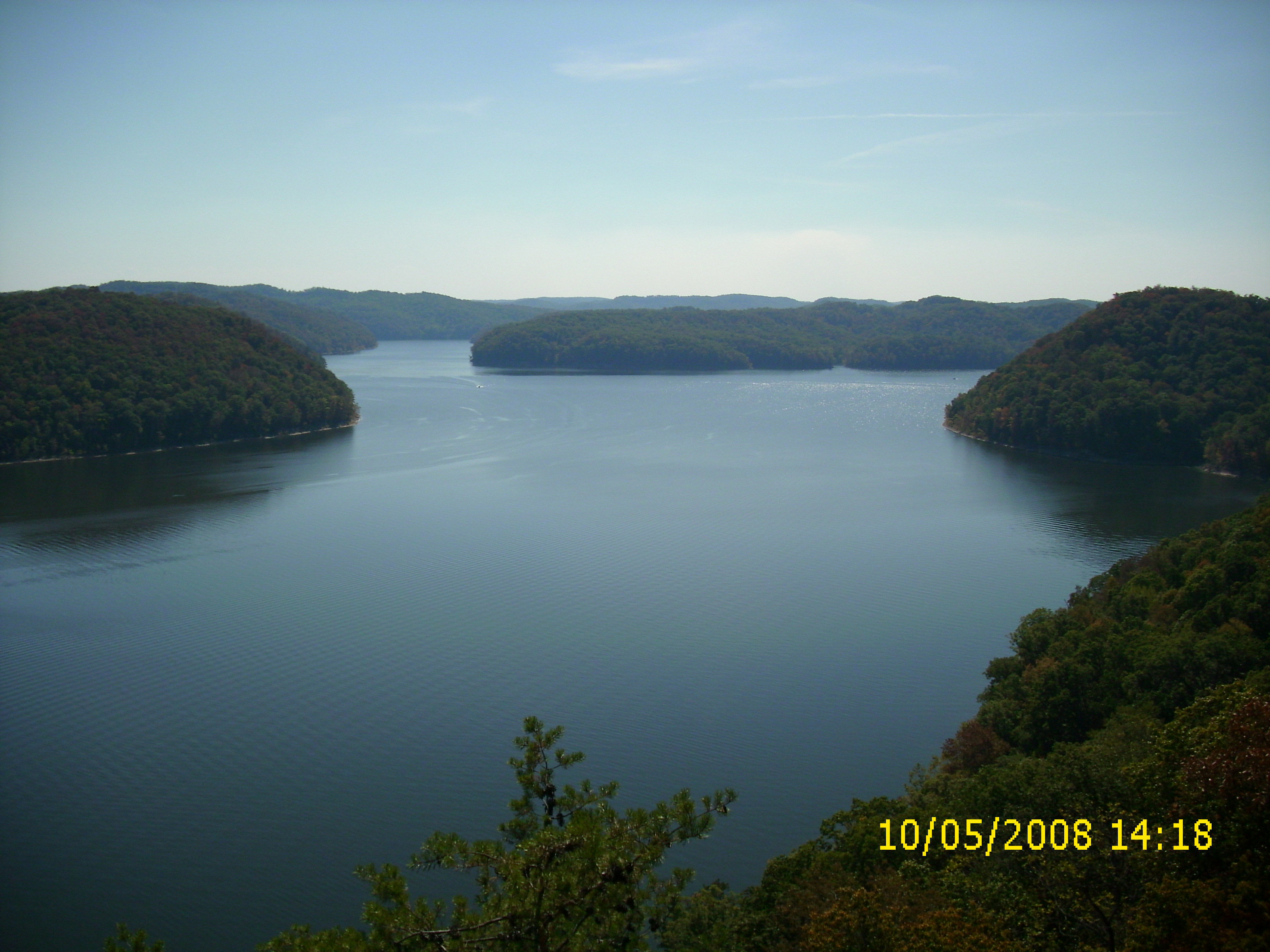
Cave Run Lake - Tater Knob Fire Tower
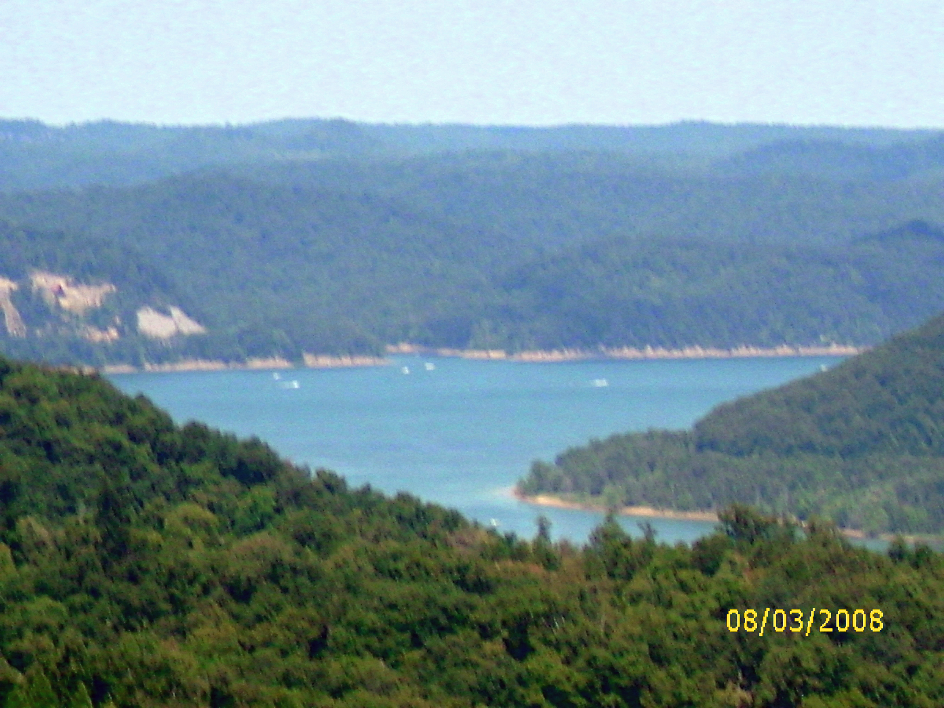
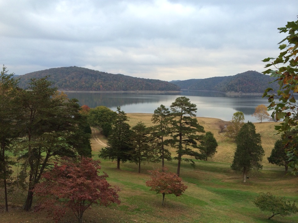
view of the lake from the tower
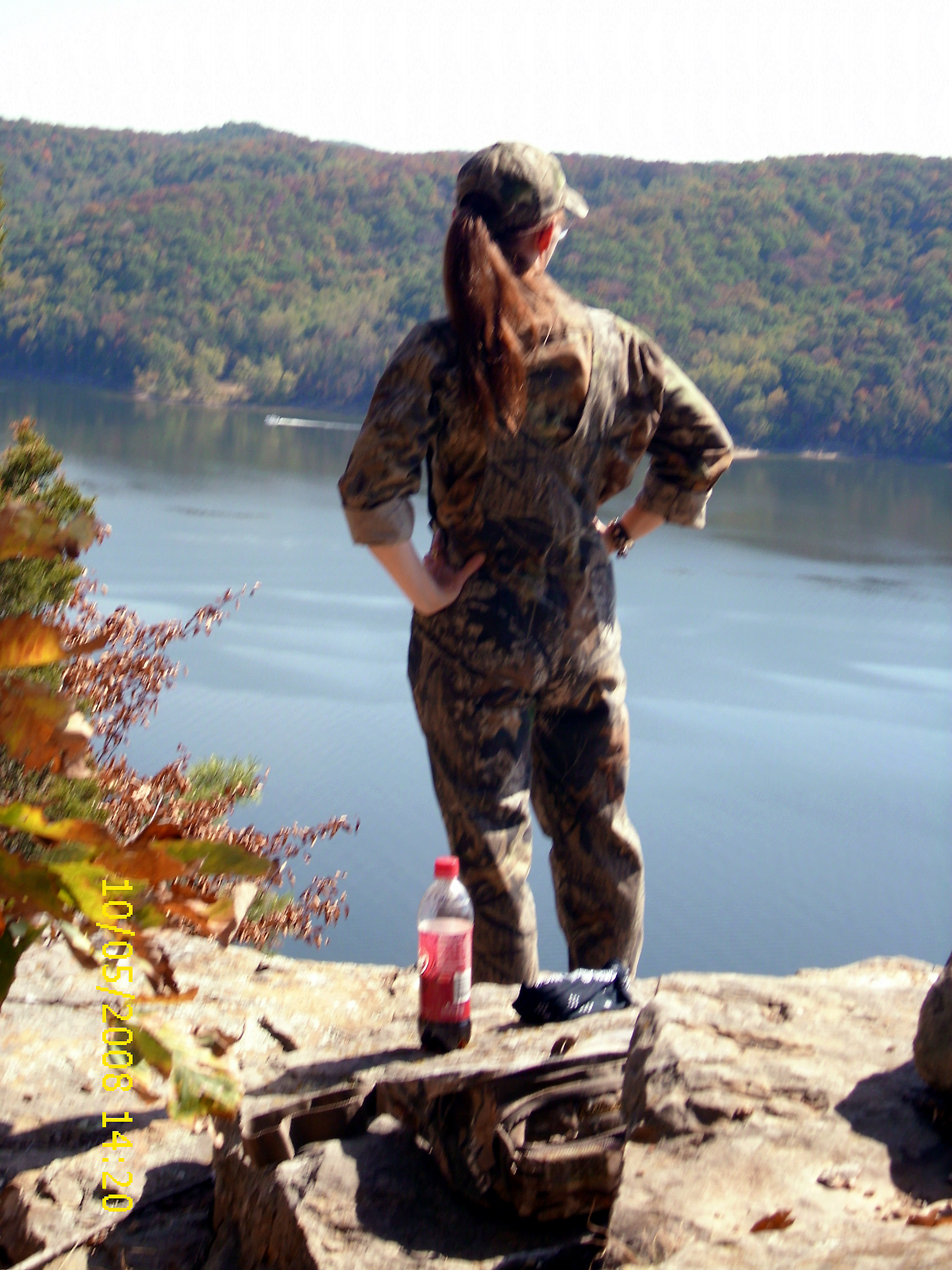
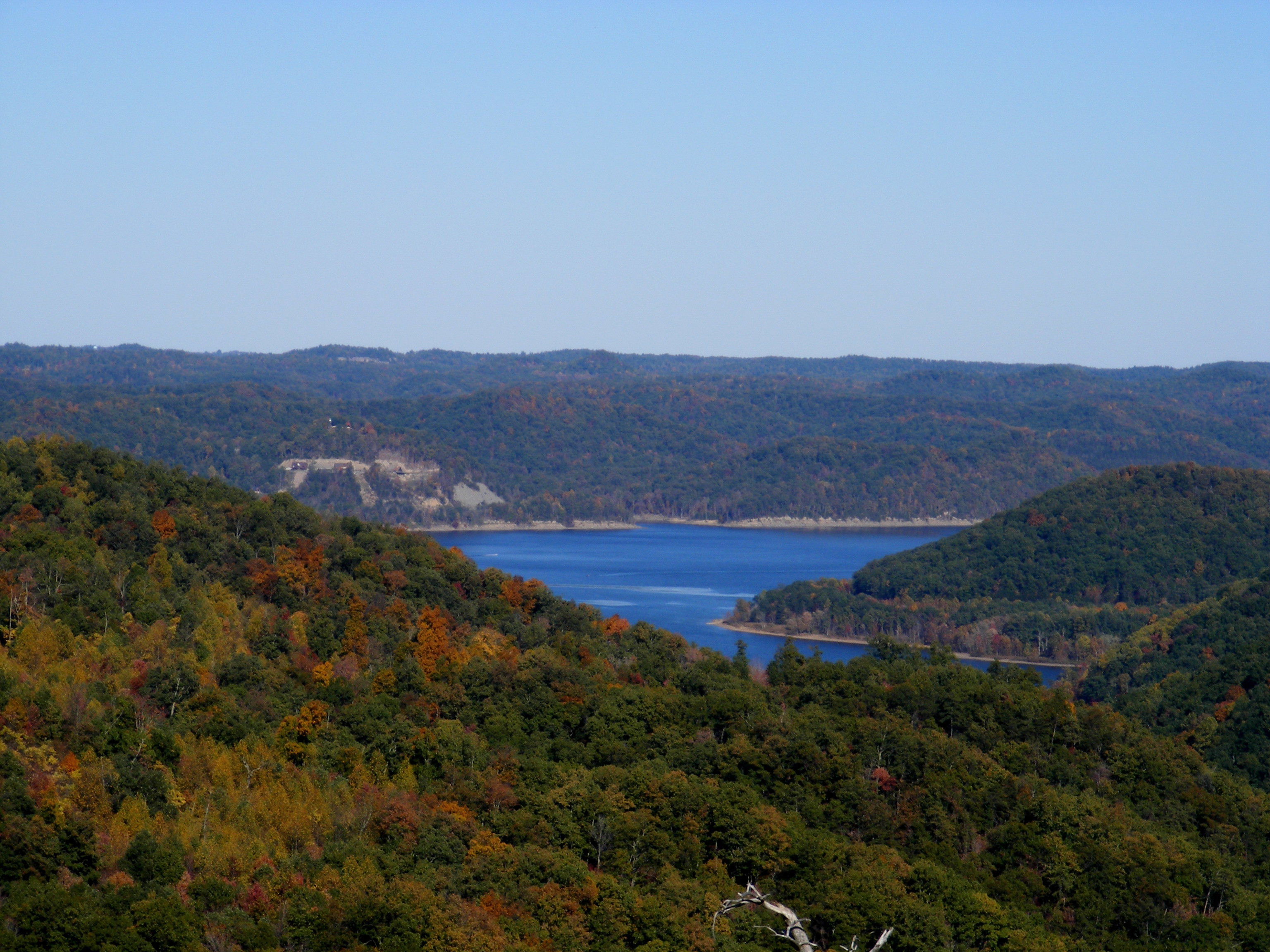
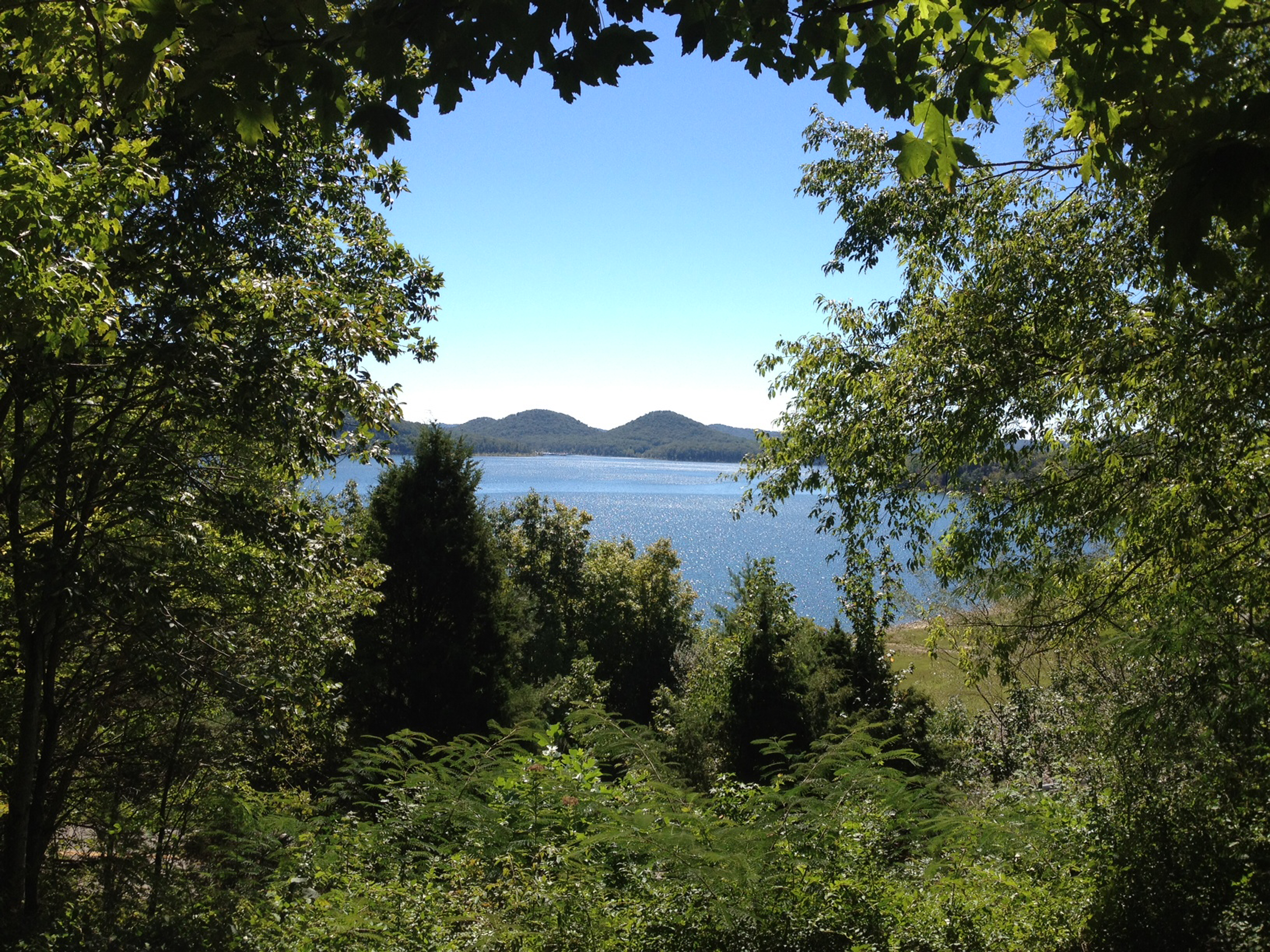
View from Look Out Rock
20110715-RD-LSC-0001
The Calm Before the Storm
looking right

Trudged thru 24 miles ~12 was deep mud. Swim time!
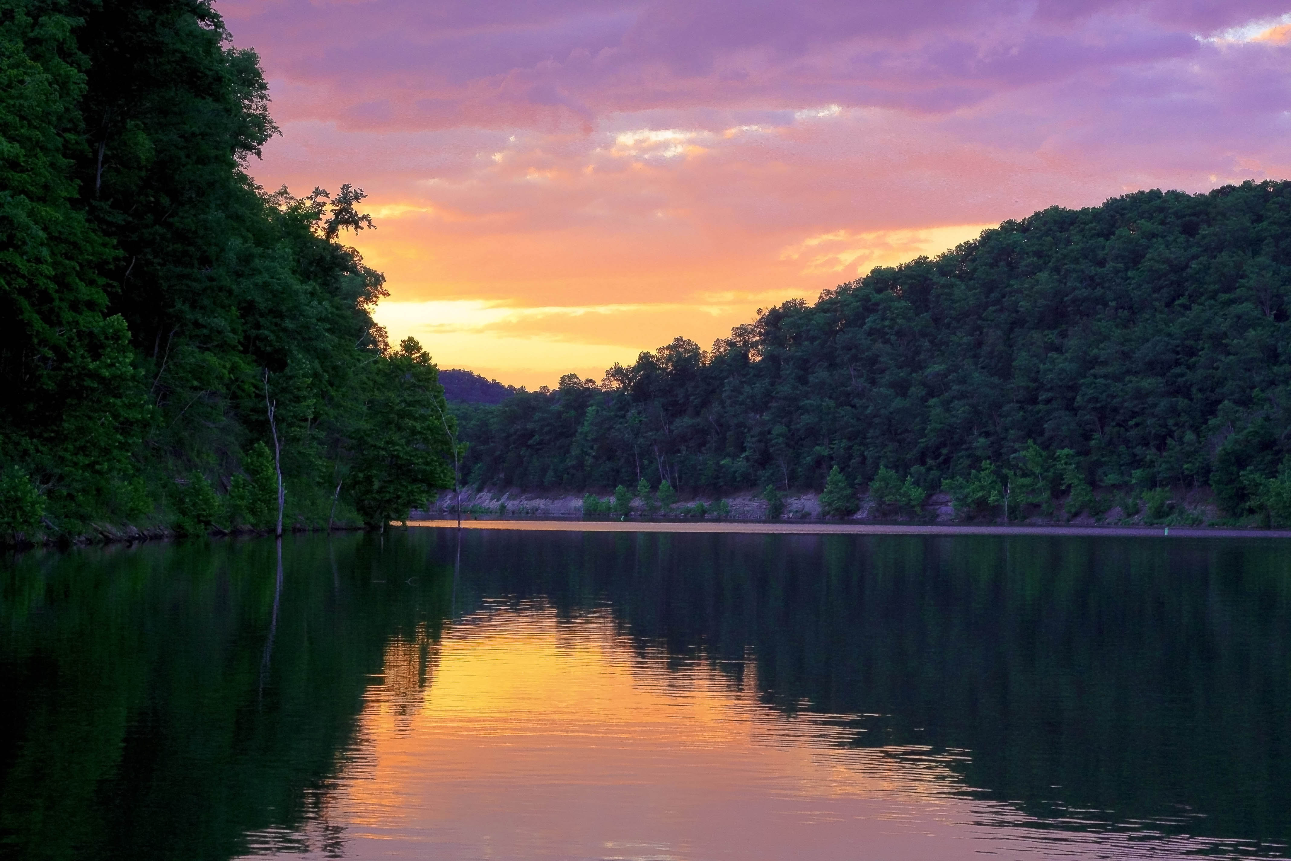
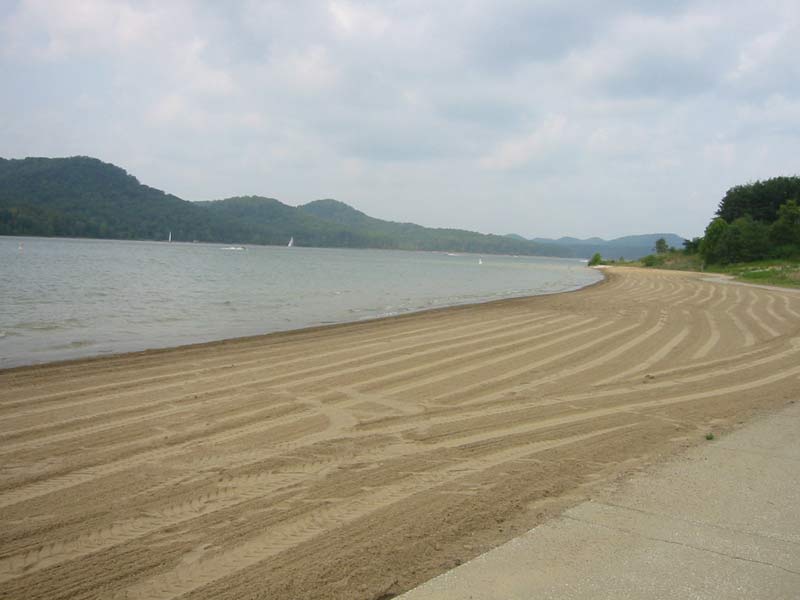
Cave Run Lake
110-1097_IMG

Patchwork Pine Tree
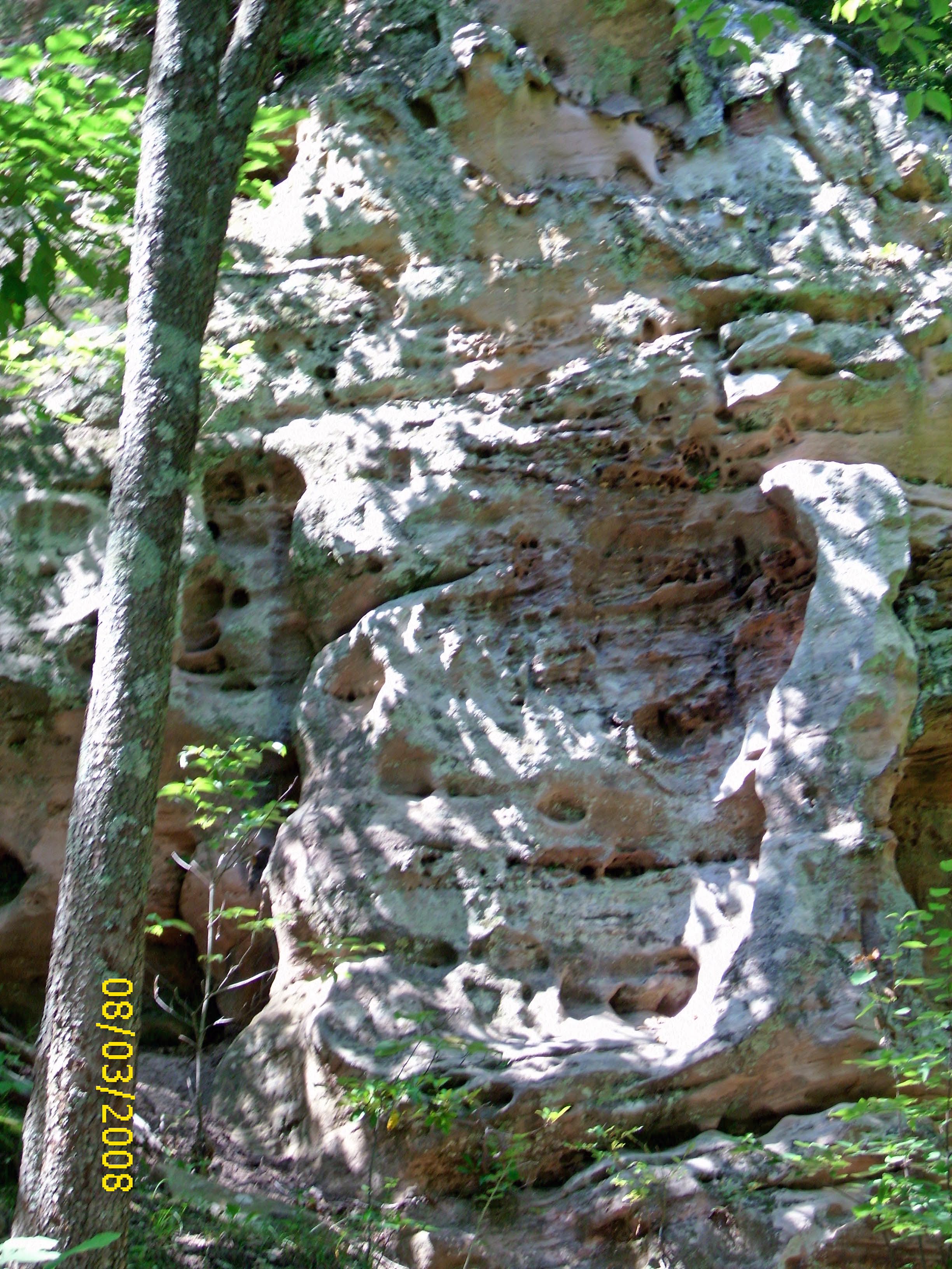
Rock formation
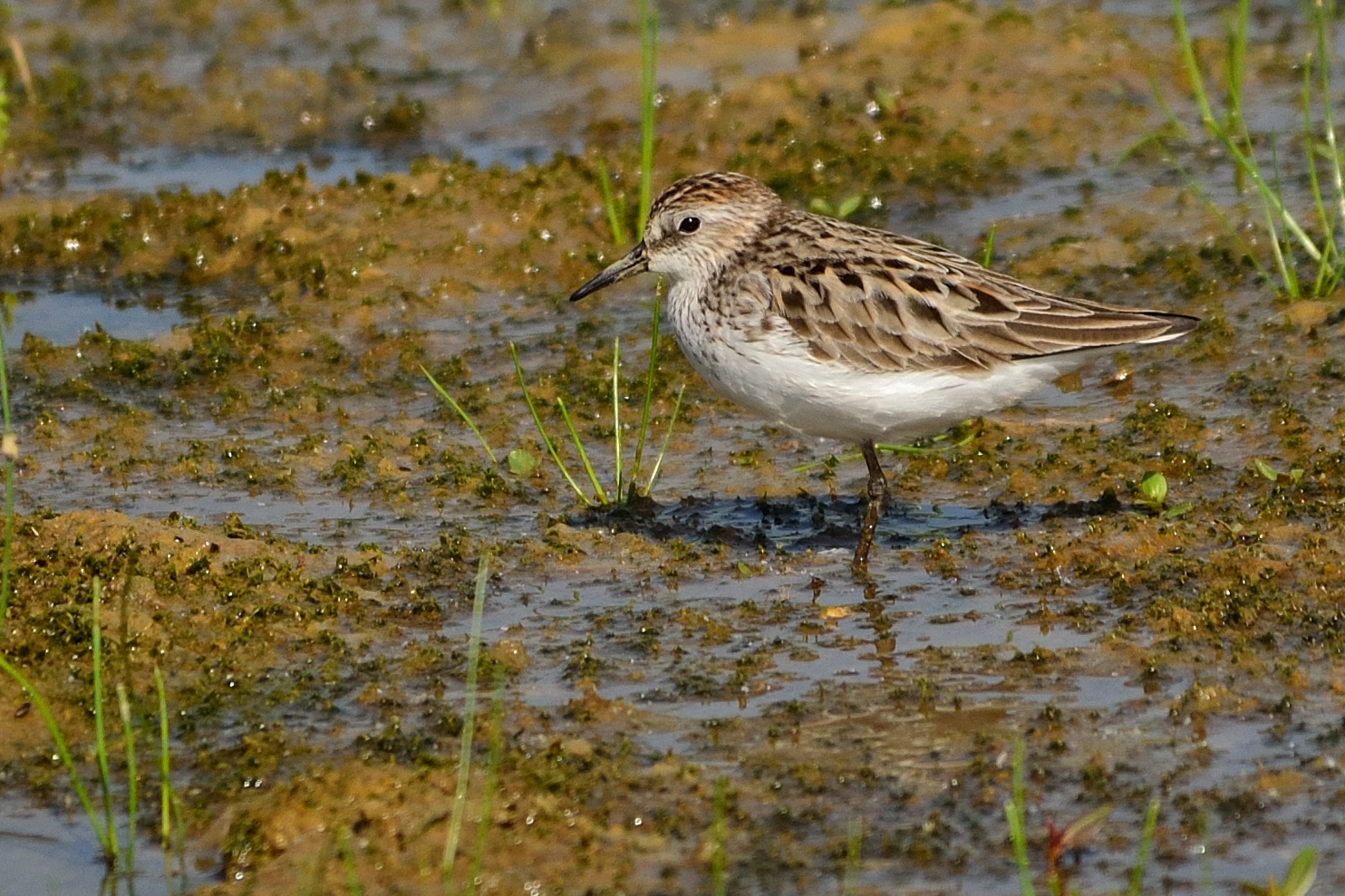
Semi-palmated Sandpiper
Topographic Map of Carrington Dr, Salt Lick, KY, USA
Find elevation by address:

Places near Carrington Dr, Salt Lick, KY, USA:
Tater Knob
86 Caney Ave
Salt Lick
Bob Fields Trail
US-60, Salt Lick, KY, USA
Cave Run Lake Road
Haven Road
Moores Ferry Rd, Salt Lick, KY, USA
Dogwood Lane
Bath County
Interstate 64
Twin Knobs Campground
55 Old State Hwy N, Morehead, KY, USA
Preston Rd, Owingsville, KY, USA
Zilpo Recreation Area
194 Cr-1096
Freestone Rd, Morehead, KY, USA
Grover Lawson Loop Road
Wyoming Rd, Owingsville, KY, USA
544 Singleton Rd
Recent Searches:
- Elevation of Homestead Ridge, New Braunfels, TX, USA
- Elevation of Orchard Road, Orchard Rd, Marlborough, NY, USA
- Elevation of 12 Hutchinson Woods Dr, Fletcher, NC, USA
- Elevation of Holloway Ave, San Francisco, CA, USA
- Elevation of Norfolk, NY, USA
- Elevation of - San Marcos Pass Rd, Santa Barbara, CA, USA
- Elevation of th Pl SE, Issaquah, WA, USA
- Elevation of 82- D Rd, Captain Cook, HI, USA
- Elevation of Harlow CM20 2PR, UK
- Elevation of Shenyang Agricultural University, Dong Ling Lu, Shen He Qu, Shen Yang Shi, Liao Ning Sheng, China