Elevation of Carretera Tepatitlán-Yahualica 60, Acasico, Jal., Mexico
Location: Mexico > Jalisco > Acasico >
Longitude: -102.82297
Latitude: 21.0191554
Elevation: 1690m / 5545feet
Barometric Pressure: 83KPa
Elevation Map:
Satellite Map:
Related Photos:

En Los Altos de Jalisco

Las barrancas del rió verde frente a Los Yugos, Cañadas de Obregón, Jalisco, México

Big twin

Santuarios del Señor del Encino de Ocotes de Moya
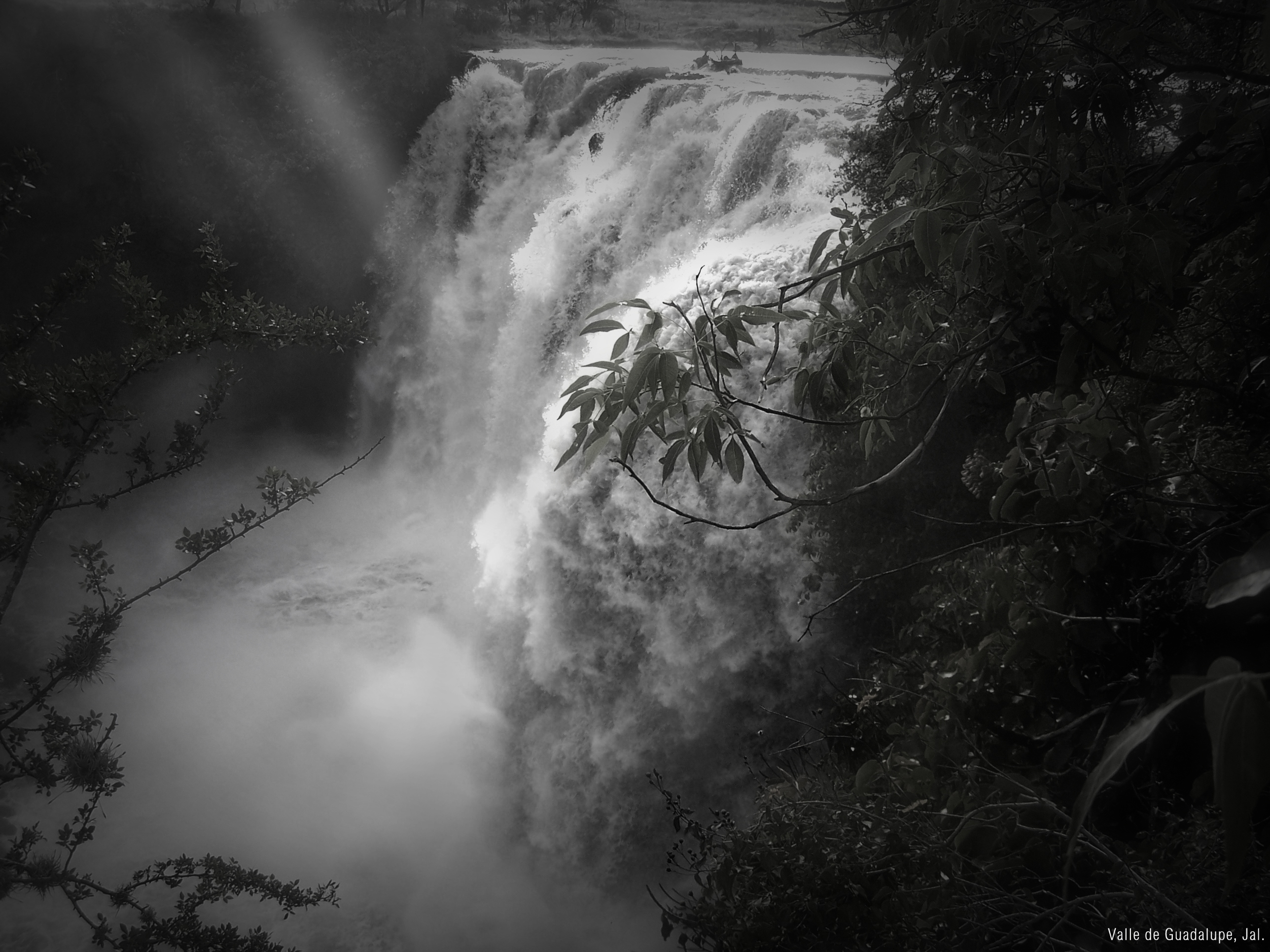
EL Salto del Agua.
Topographic Map of Carretera Tepatitlán-Yahualica 60, Acasico, Jal., Mexico
Find elevation by address:

Places near Carretera Tepatitlán-Yahualica 60, Acasico, Jal., Mexico:
Tepatitlán De Morelos
Tepatitlán De Morelos
Trejos
Ixtlahuacán Del Río
Calle Padre María Anaya 20, Trejos, Jal., Mexico
Zapotlanejo
Tototlan
San Francisco De Ixcatán
Morelos, San Francisco de Ixcatán, Jal., Mexico
JAL 39, El Salitre, Jal., Mexico
JAL , La Laja, Jal., Mexico
La Mezquitera
Los Altos De Jalisco
Tonalá
Tonalá
Calle Laurel 5, San Esteban, Jal., Mexico
Monte De Las Animas 780
El Salto
El Salto
Tlaquepaque
Recent Searches:
- Elevation of Corso Fratelli Cairoli, 35, Macerata MC, Italy
- Elevation of Tallevast Rd, Sarasota, FL, USA
- Elevation of 4th St E, Sonoma, CA, USA
- Elevation of Black Hollow Rd, Pennsdale, PA, USA
- Elevation of Oakland Ave, Williamsport, PA, USA
- Elevation of Pedrógão Grande, Portugal
- Elevation of Klee Dr, Martinsburg, WV, USA
- Elevation of Via Roma, Pieranica CR, Italy
- Elevation of Tavkvetili Mountain, Georgia
- Elevation of Hartfords Bluff Cir, Mt Pleasant, SC, USA