Elevation of Carr. Costera del Golfo 12, Palma Sola, Ver., Mexico
Location: Mexico > Veracruz > Palma Sola >
Longitude: -96.505916
Latitude: 19.890769
Elevation: 11m / 36feet
Barometric Pressure: 101KPa
Elevation Map:
Satellite Map:
Related Photos:
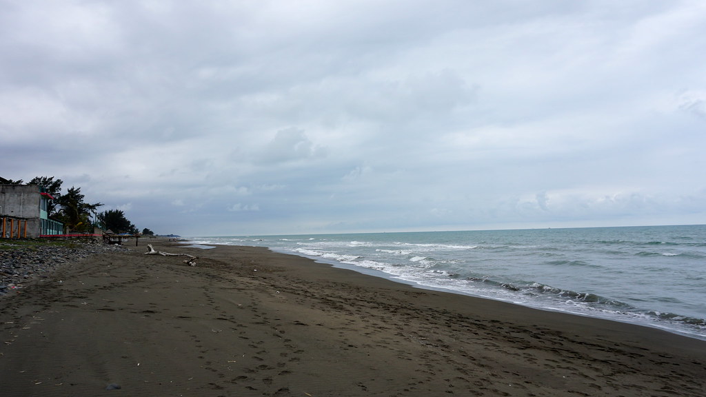
DSC03283
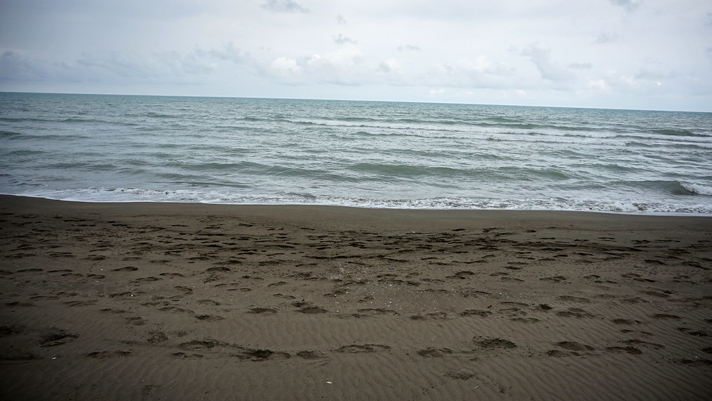
DSC03285
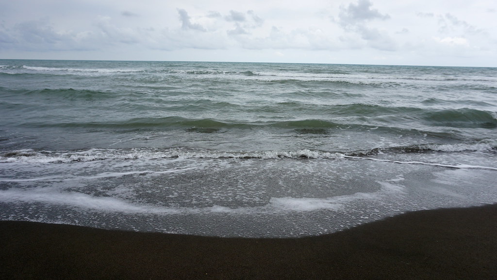
DSC03296
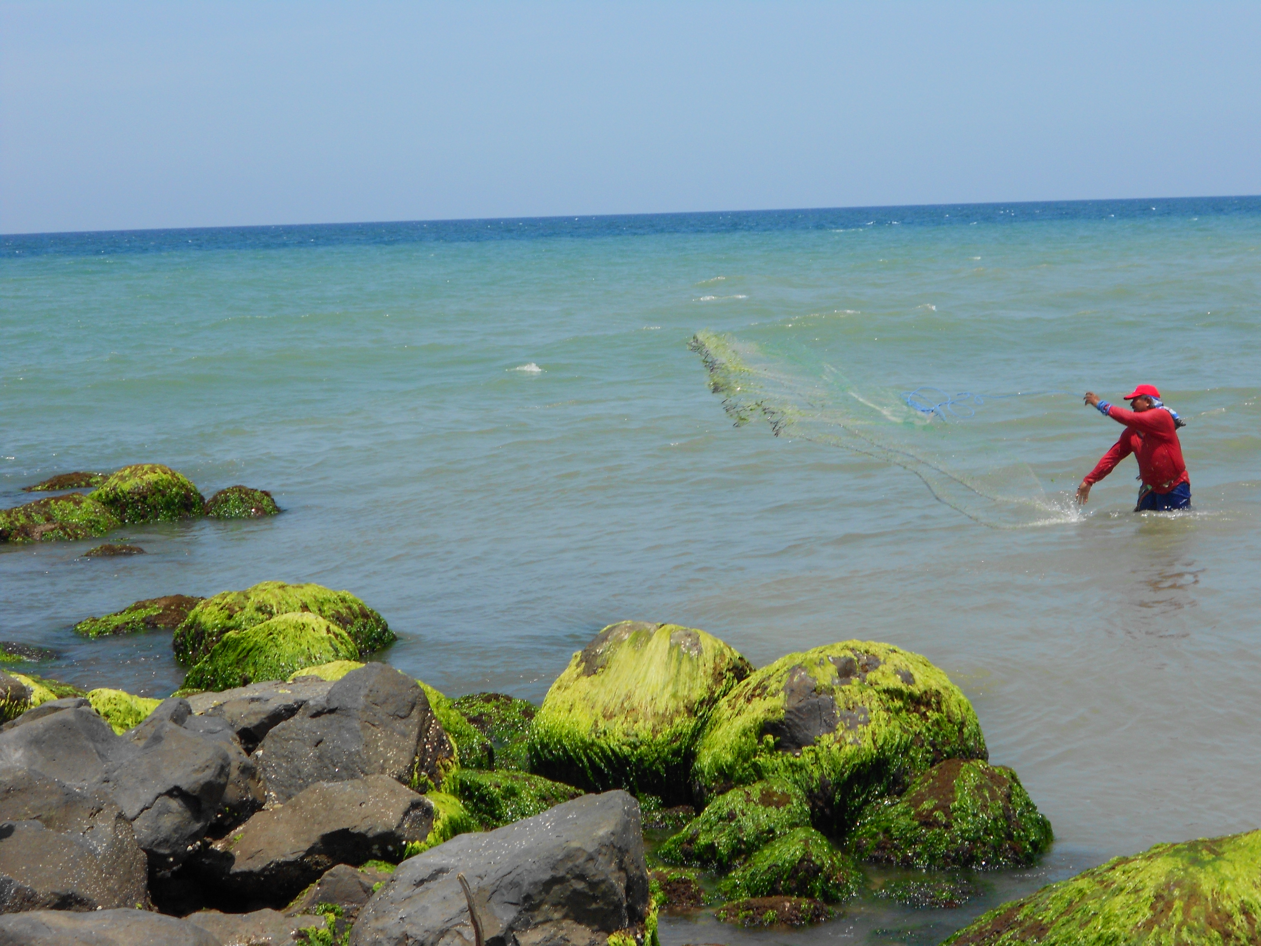
fisherman
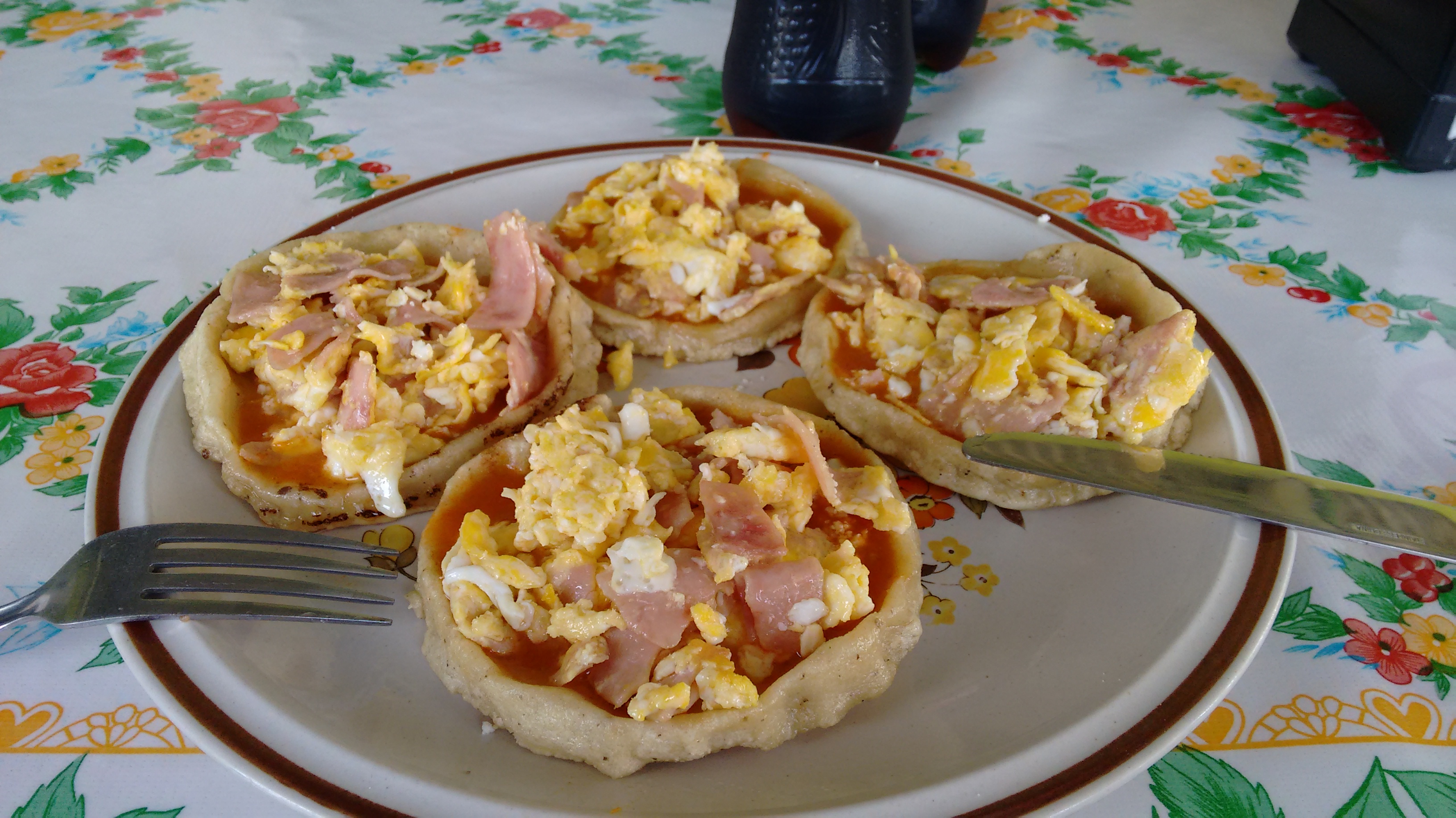
Las picadas no pueden faltar!
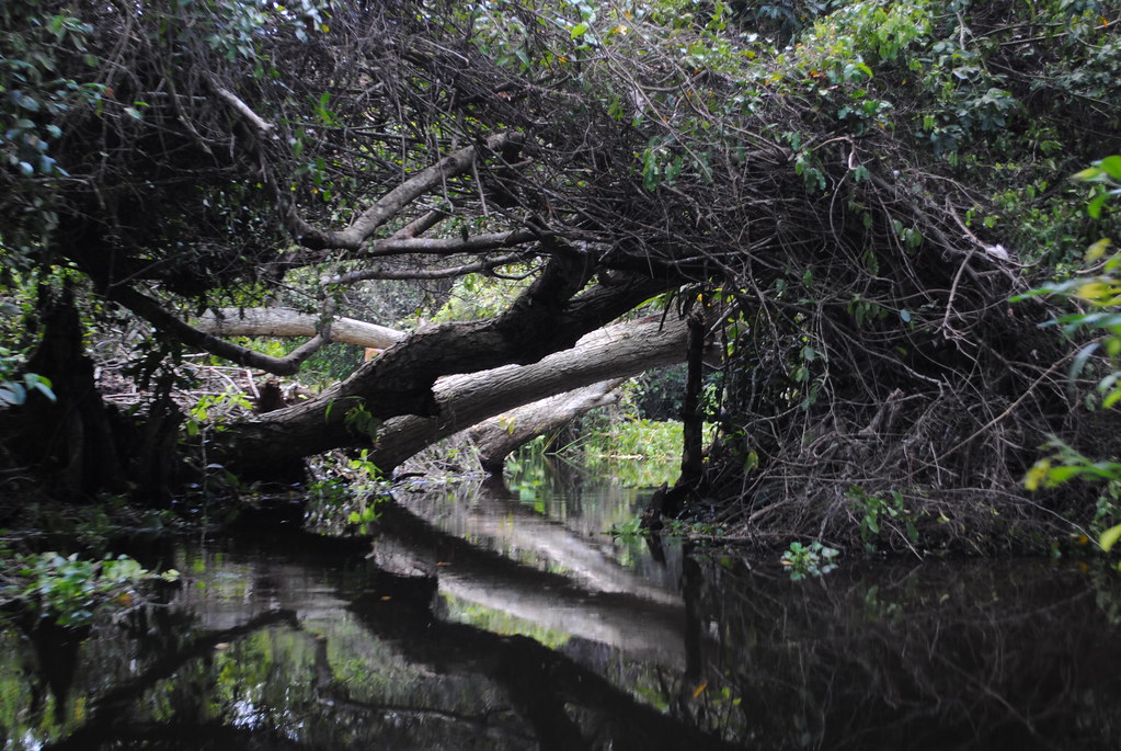
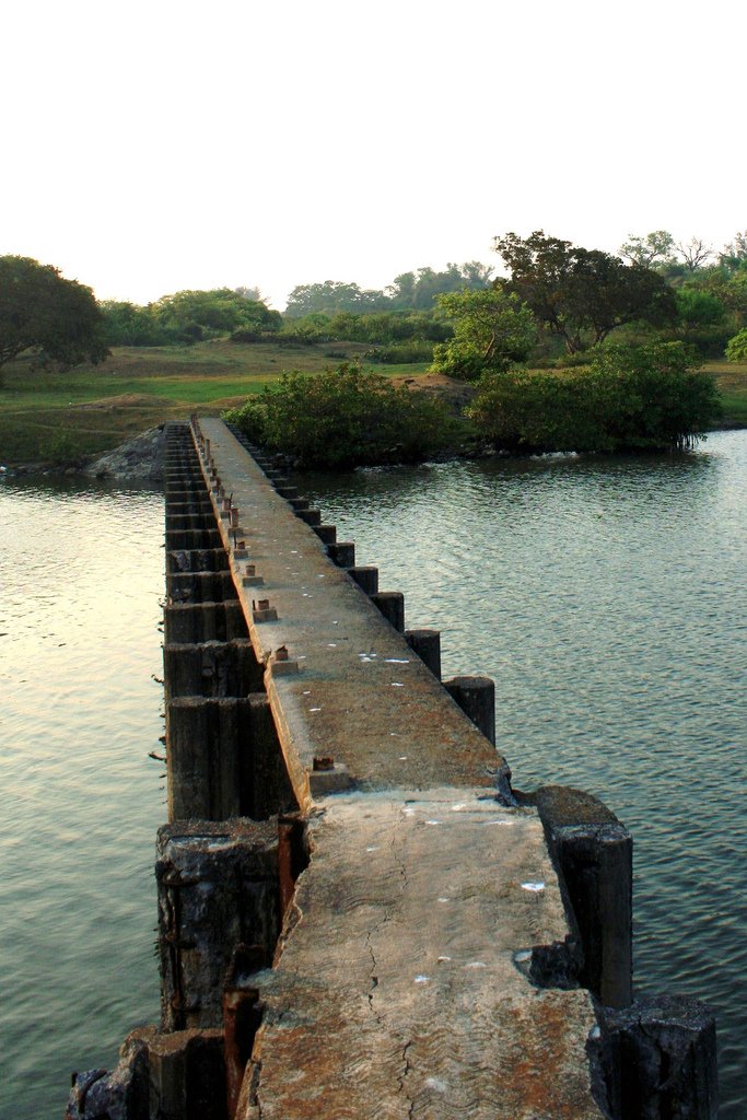
Ciénega del Fuerte
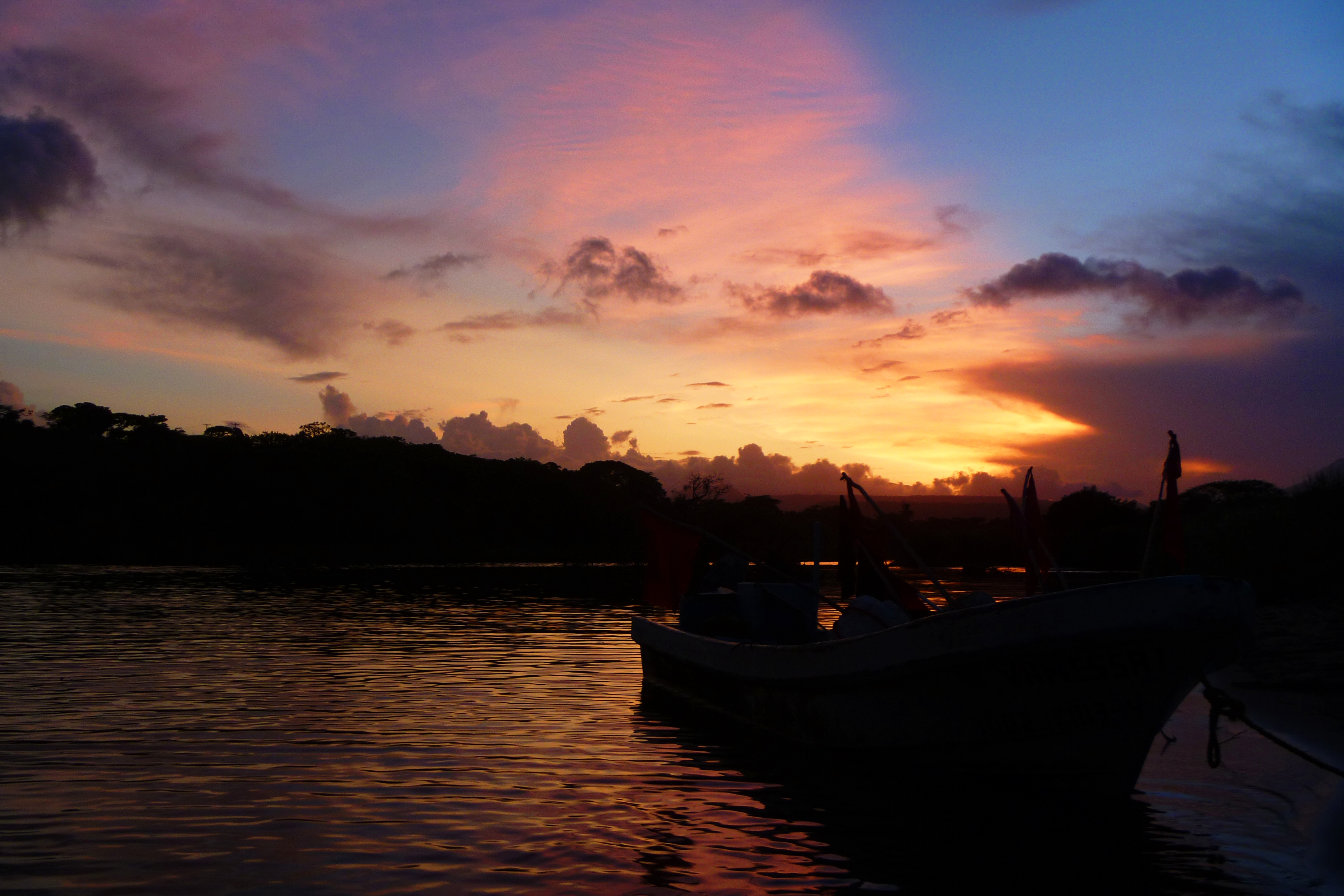
Explossions in the Sky

San Agustin
Topographic Map of Carr. Costera del Golfo 12, Palma Sola, Ver., Mexico
Find elevation by address:

Places near Carr. Costera del Golfo 12, Palma Sola, Ver., Mexico:
Misantla
Misantla
Ixtapán
Av Jorge Serdán 2, Tenochtitlan, Tenochtitlán, Ver., Mexico
Av Miguel Alemán 30, Tenochtitlan, Tenochtitlán, Ver., Mexico
Cecilio González, El Pital, Ver., Mexico
El Pital
Av Huasteca 65, Veracruz, Mexico
Manuel Avila Camacho 16, Villanueva, Ver., Mexico
Villanueva
Carr. Costera del Golfo, Veracruz, Mexico
Alejandro Molina, Ricardo Flores Magón, Ver., Mexico
Tecolutla
Recent Searches:
- Elevation of Felindre, Swansea SA5 7LU, UK
- Elevation of Leyte Industrial Development Estate, Isabel, Leyte, Philippines
- Elevation of W Granada St, Tampa, FL, USA
- Elevation of Pykes Down, Ivybridge PL21 0BY, UK
- Elevation of Jalan Senandin, Lutong, Miri, Sarawak, Malaysia
- Elevation of Bilohirs'k
- Elevation of 30 Oak Lawn Dr, Barkhamsted, CT, USA
- Elevation of Luther Road, Luther Rd, Auburn, CA, USA
- Elevation of Unnamed Road, Respublika Severnaya Osetiya — Alaniya, Russia
- Elevation of Verkhny Fiagdon, North Ossetia–Alania Republic, Russia