Elevation of Carol Rd, Union, NJ, USA
Location: United States > New Jersey > Union County > Union >
Longitude: -74.295046
Latitude: 40.708428
Elevation: 27m / 89feet
Barometric Pressure: 101KPa
Elevation Map:
Satellite Map:
Related Photos:

Delaware Water Gap
Tree Sunset
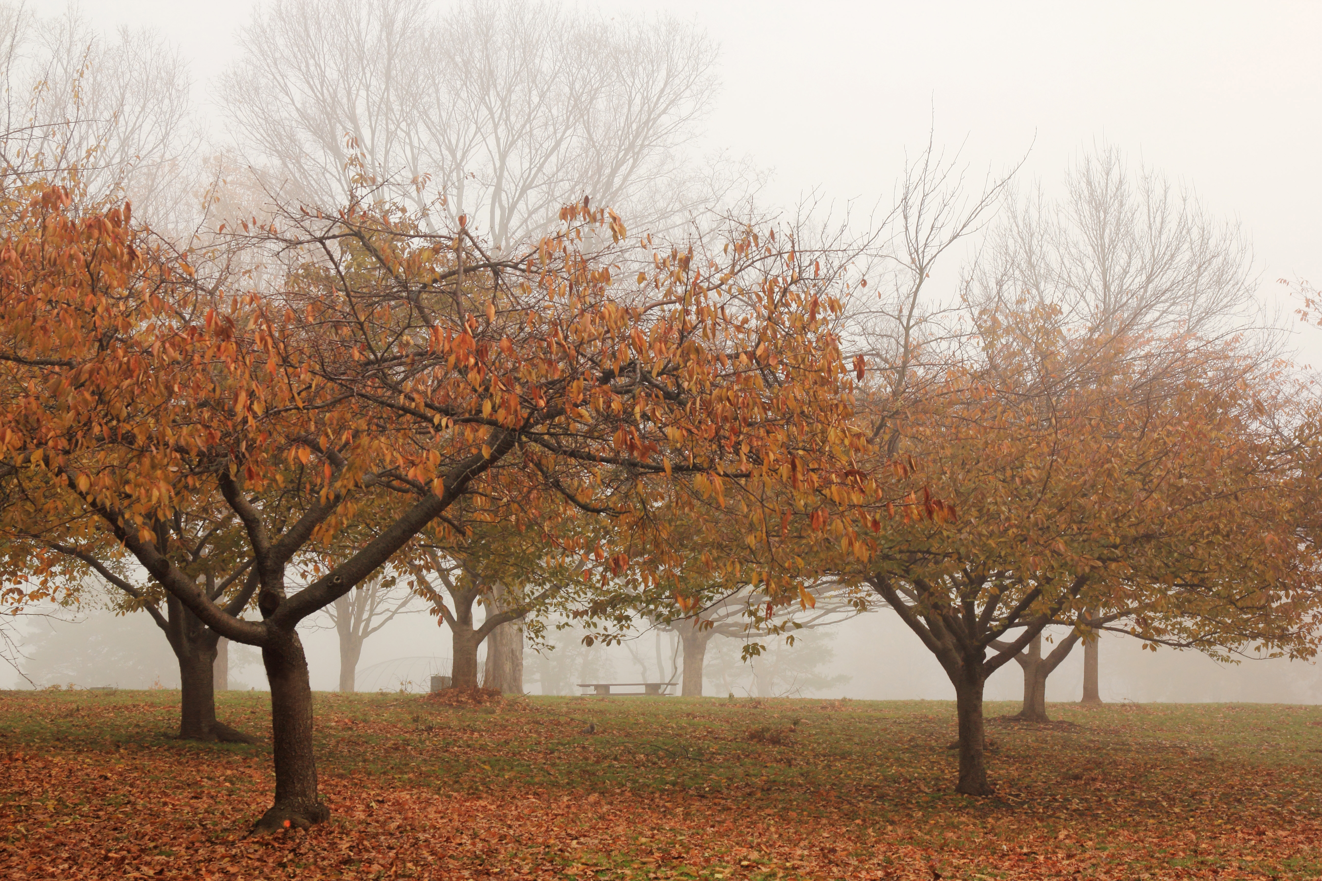
Autumn Road
Grand River Fall
Fern Friday
Shooting Bayonne
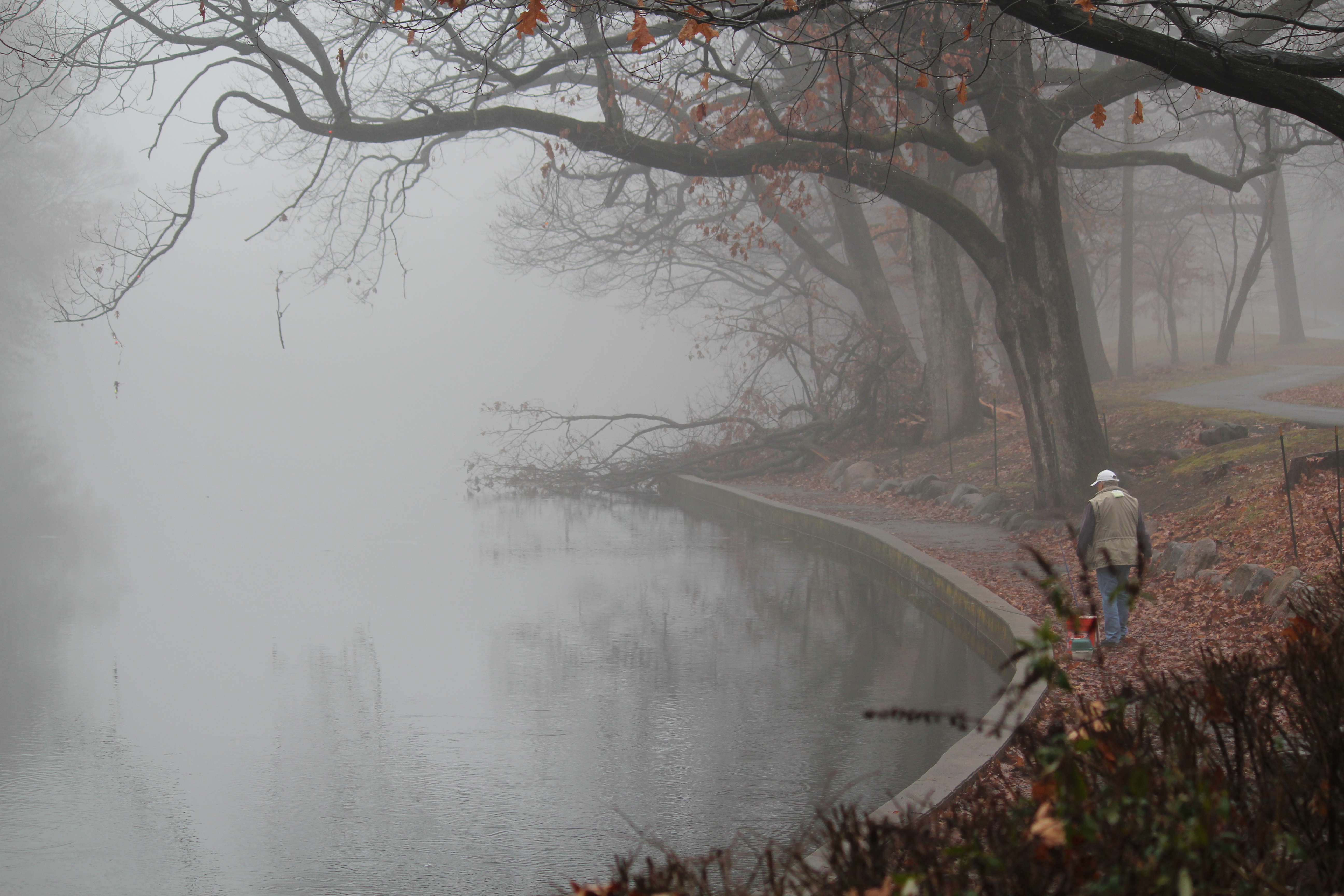
January Fog
Low fog over the lake
Reflective Sun
Trees in the Fog

Nomahegan Fall 2013

Green Heron (Butorides virescens)

The Story of Life

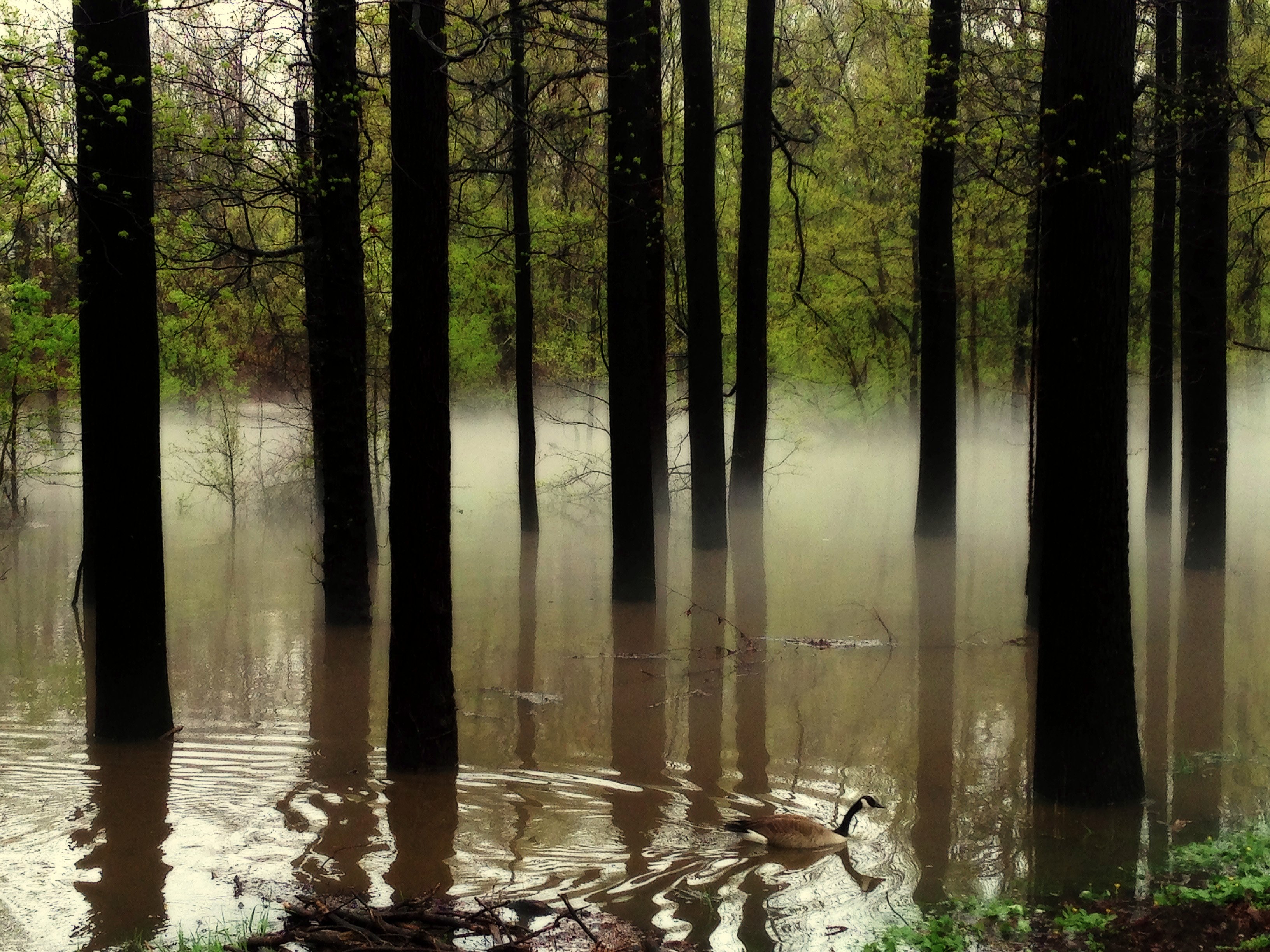
Winter Stream
Looks Like Tom

filter joy
Silent Swim

Springfield Fall

Me and This Army

Blue Skies, Smiling At Me

River Fall
Topographic Map of Carol Rd, Union, NJ, USA
Find elevation by address:

Places near Carol Rd, Union, NJ, USA:
2627 Hawthorne Ave
210 Springfield Ave
856 Mitchell Ave
1099 Burnet Ave
1084 Elker Rd
33 Greenwood Dr
57 E Willow St
2235 Springfield Ave
2350 N 3rd St
509 Wyoming Ave
Vauxhall
218 Millburn Ave
350 Sagamore Rd
300 Sagamore Rd
79 Chestnut St
Rosedale Avenue
121 Laurel Dr
125 Laurel Dr
6 Glen Ave
12 Maple Terrace
Recent Searches:
- Elevation of Beall Road, Beall Rd, Florida, USA
- Elevation of Leguwa, Nepal
- Elevation of County Rd, Enterprise, AL, USA
- Elevation of Kolchuginsky District, Vladimir Oblast, Russia
- Elevation of Shustino, Vladimir Oblast, Russia
- Elevation of Lampiasi St, Sarasota, FL, USA
- Elevation of Elwyn Dr, Roanoke Rapids, NC, USA
- Elevation of Congressional Dr, Stevensville, MD, USA
- Elevation of Bellview Rd, McLean, VA, USA
- Elevation of Stage Island Rd, Chatham, MA, USA