Elevation of Carnedd Llewelyn, Bangor, Conwy LL57, UK
Location: United Kingdom > Gwynedd > Gerlan >
Longitude: -3.9700717
Latitude: 53.1600288
Elevation: 1062m / 3484feet
Barometric Pressure: 89KPa
Elevation Map:
Satellite Map:
Related Photos:
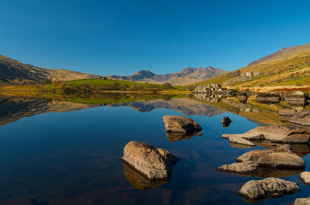
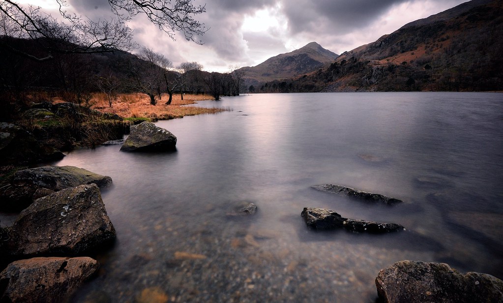
Reflections at Llynnau Mymbyr, Capel Curig, Snowdonia, North Wales. (SOOC)
snowdon...
Llyn Gwynant
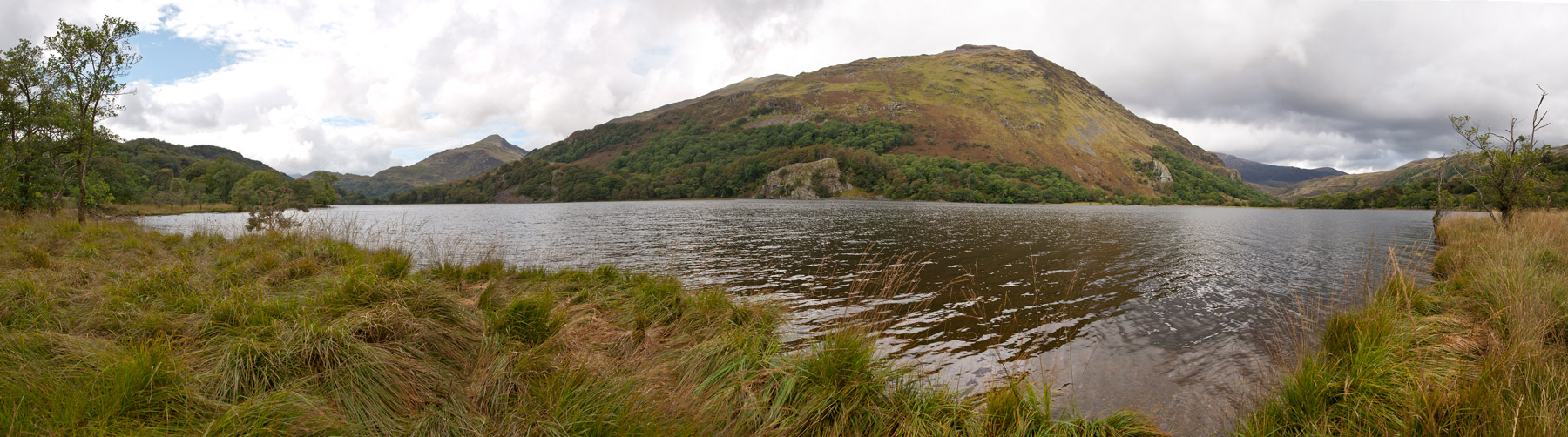
Llyn Gwynant, Snodonia
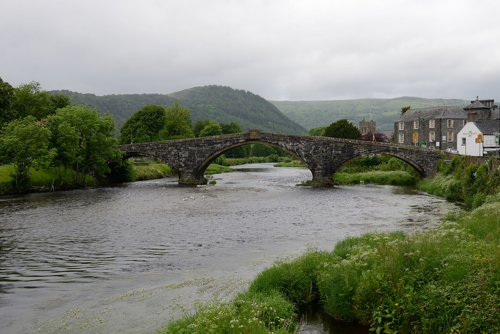
216-20120608_Llanrwst-Clwyd-Pont Fawr (bridging Afon Conwy)-viewed from ESE
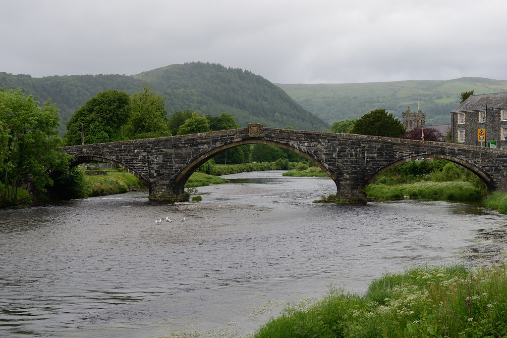
217-20120608_Llanrwst-Clwyd-Pont Fawr (bridging Afon Conwy)-viewed from ESE
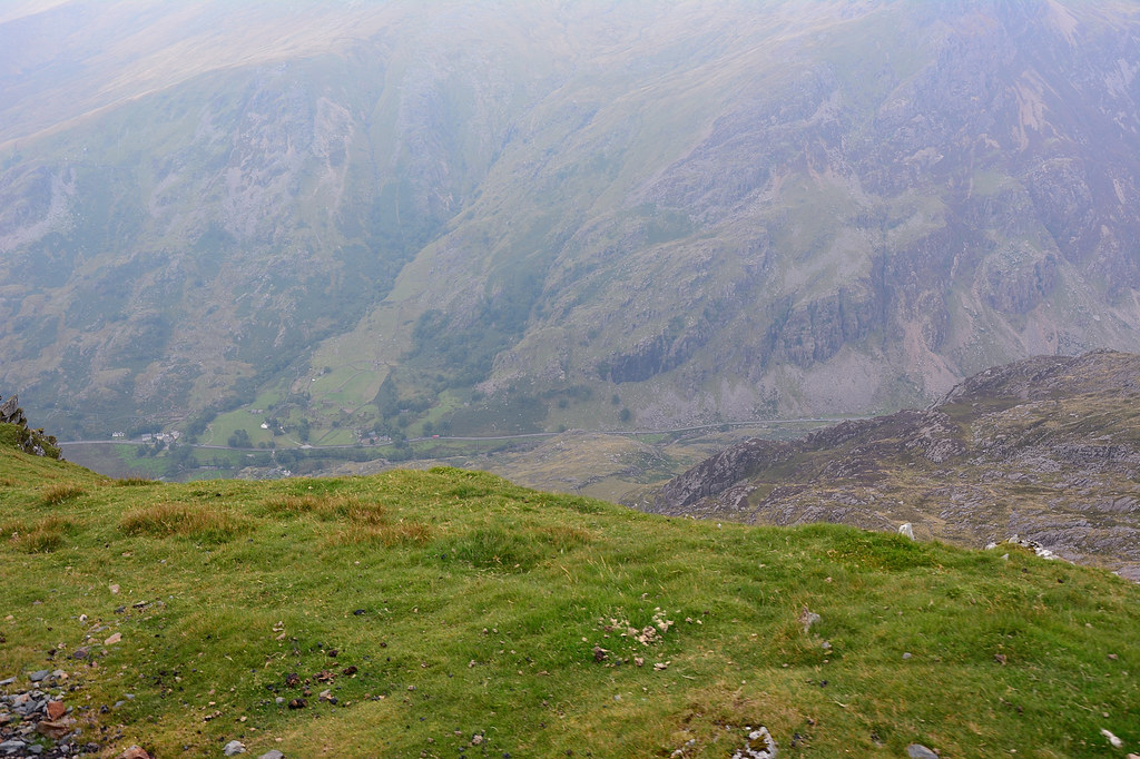
The Foothills of Snowdon
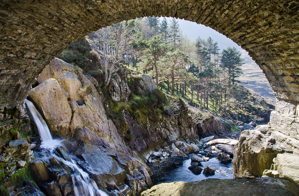
Under the bridge, Ogwen Falls
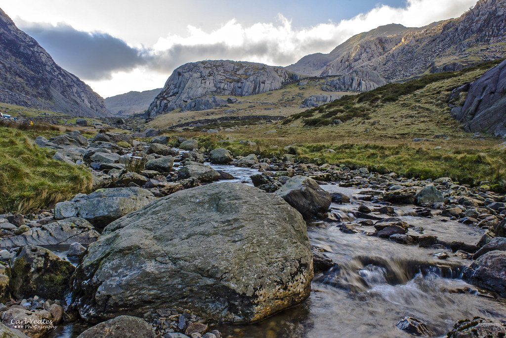
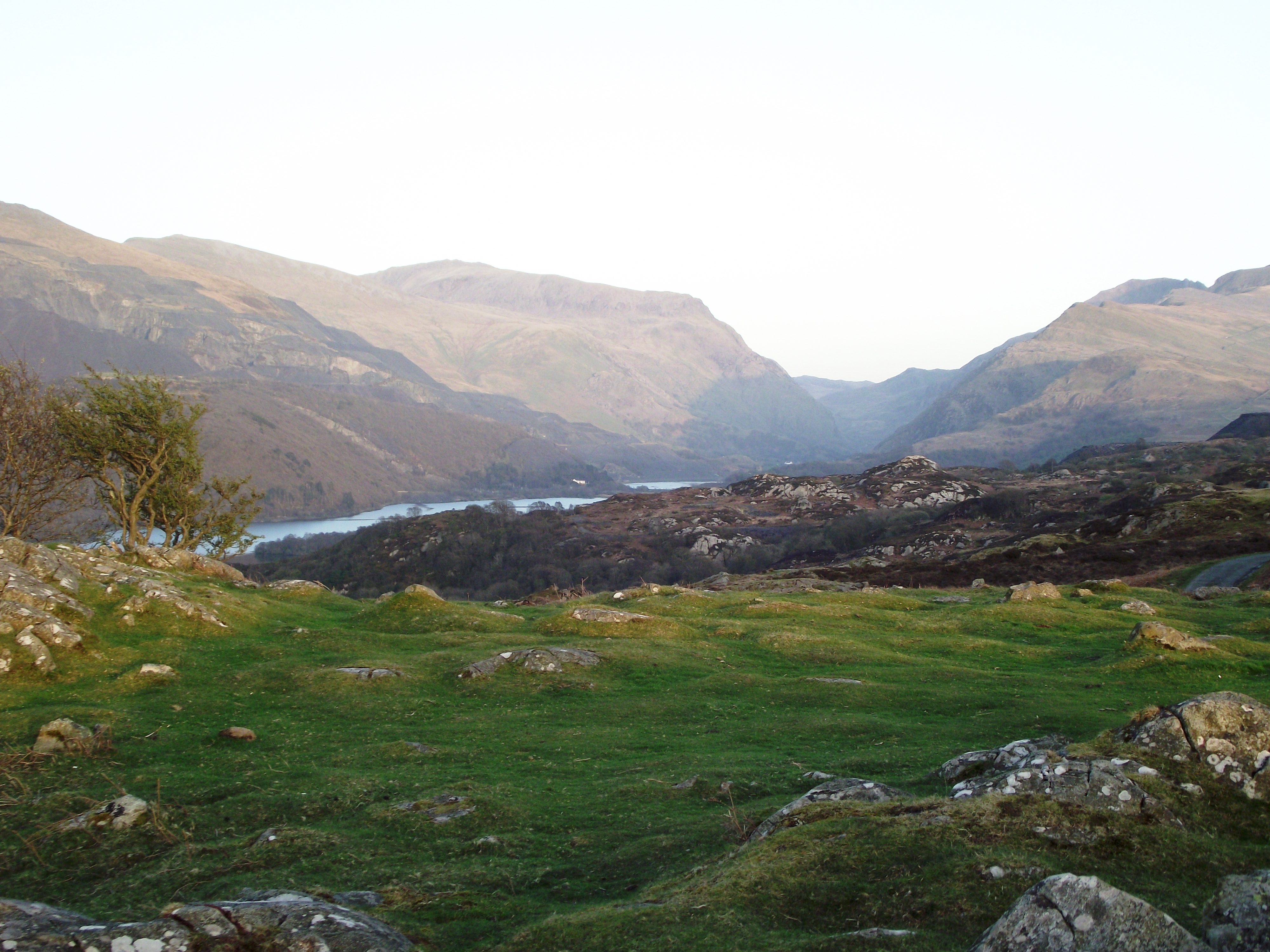
Landscape View
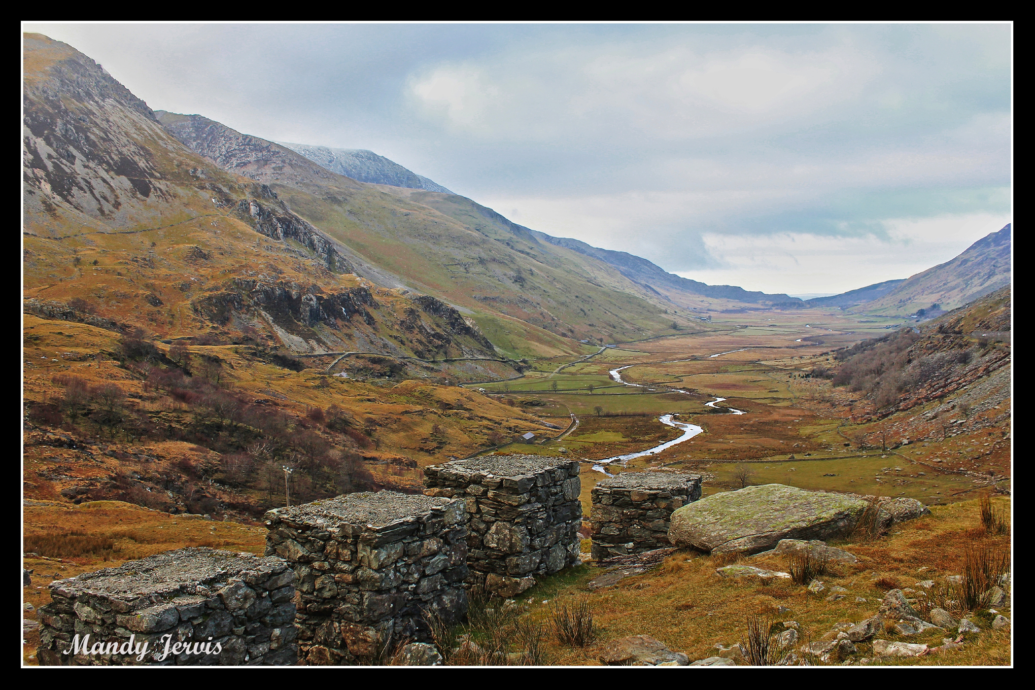
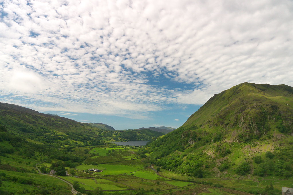
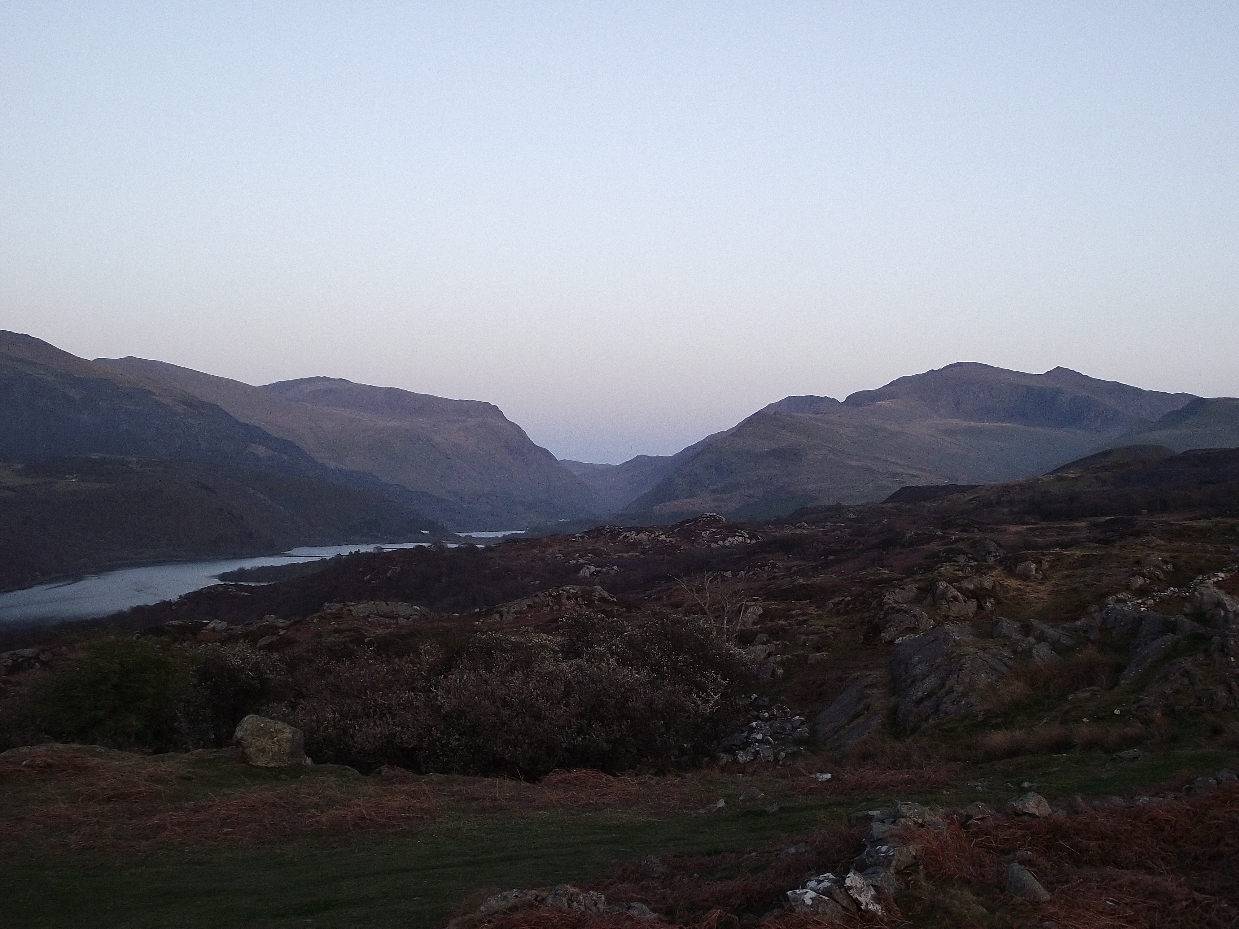
View down the Valley
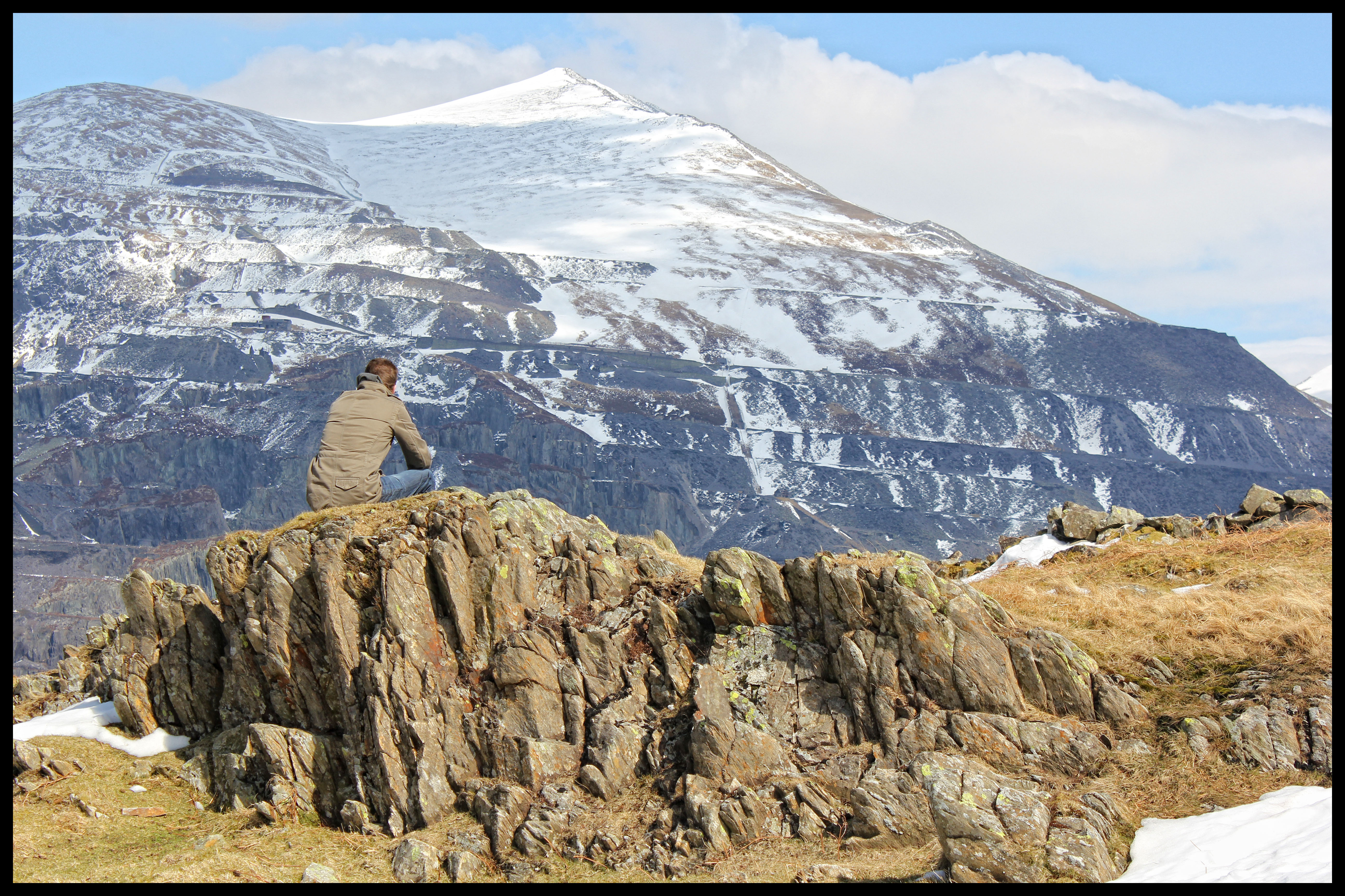
A4086 view from Snowdon
The View From Dolwyddelan
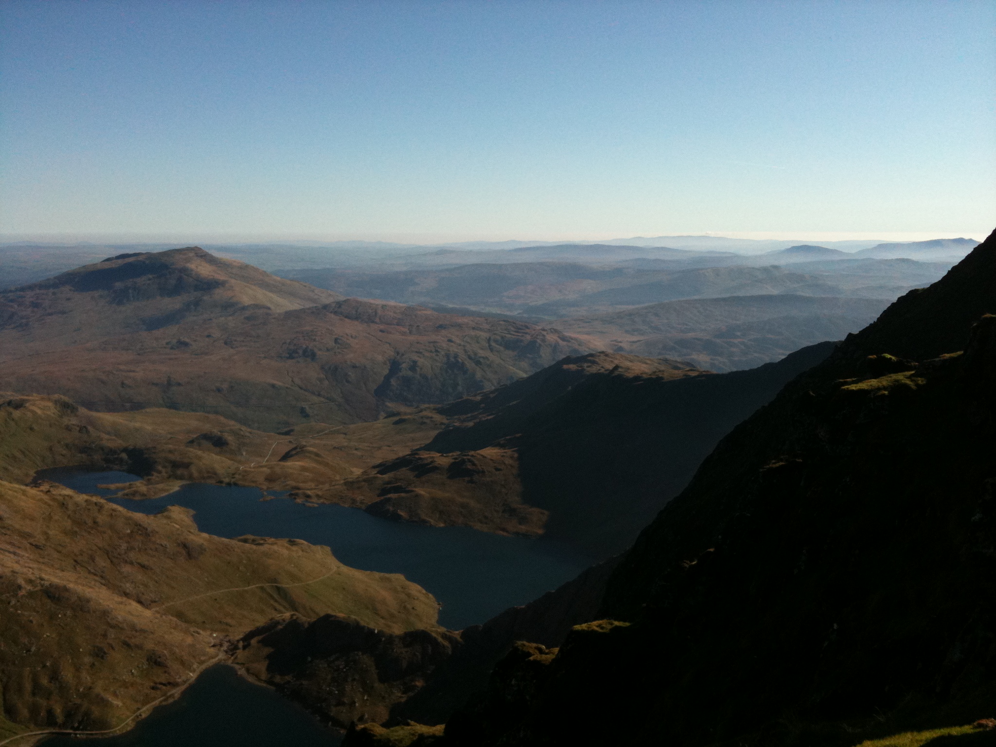
Snowdon Range
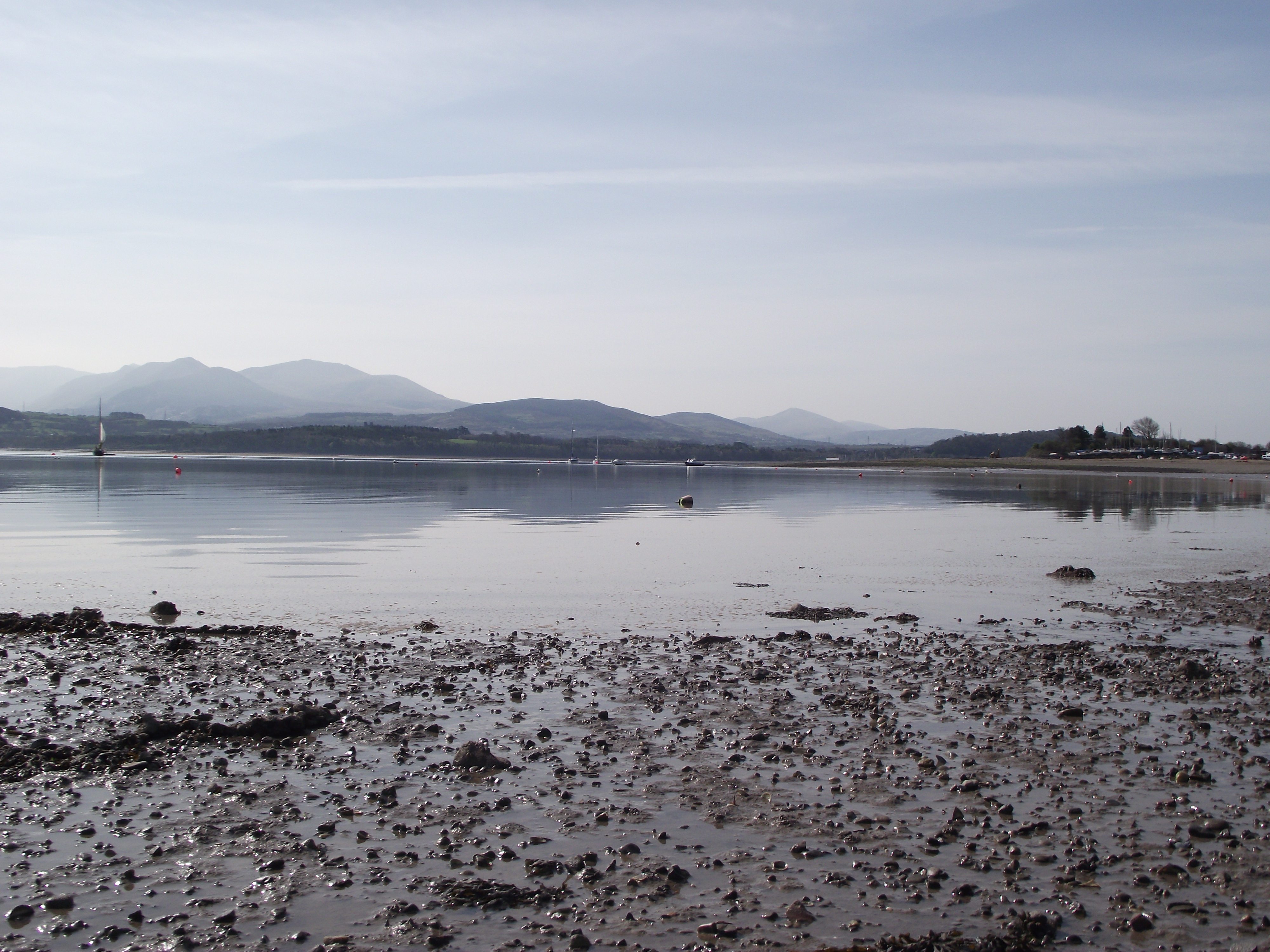
Bangor 53
Landscape #3
Landscape #2
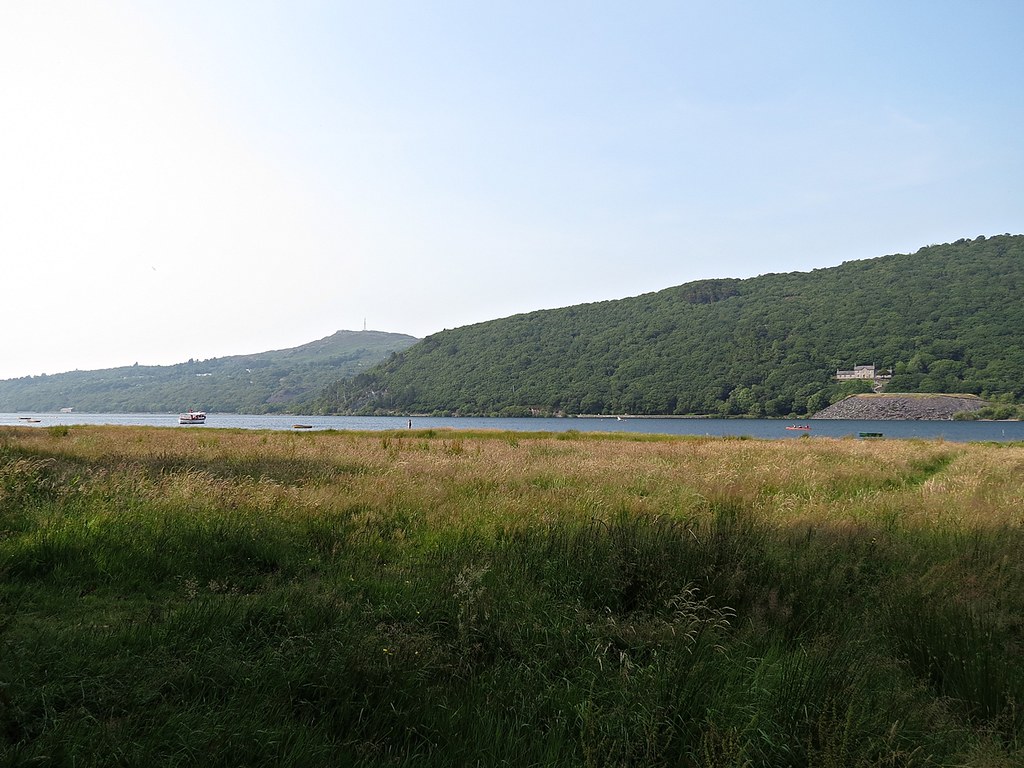
Snowdonia National Park
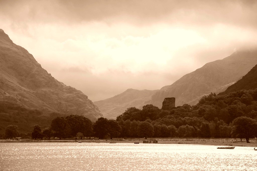
Sepia view
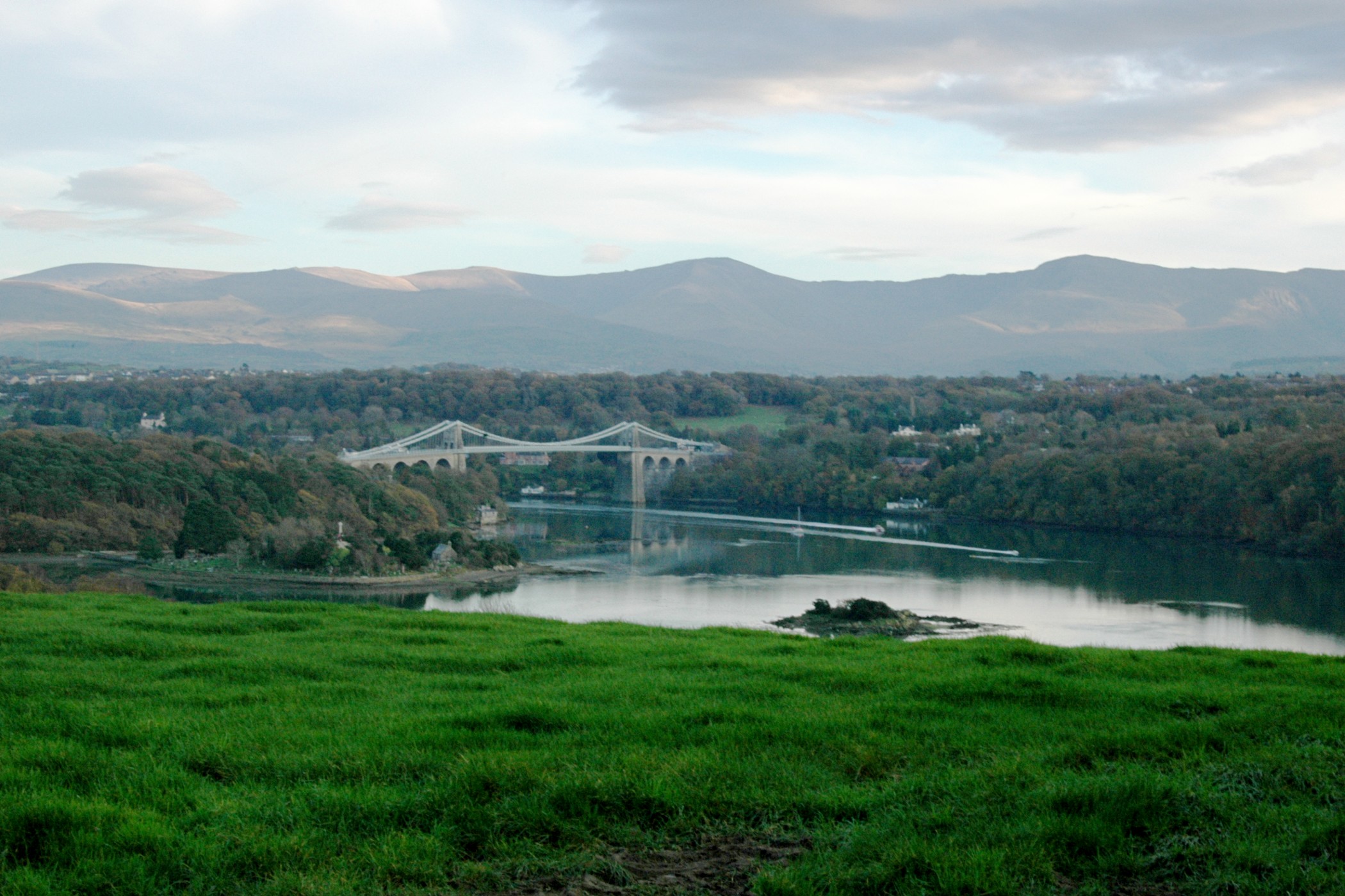
Menai Straits
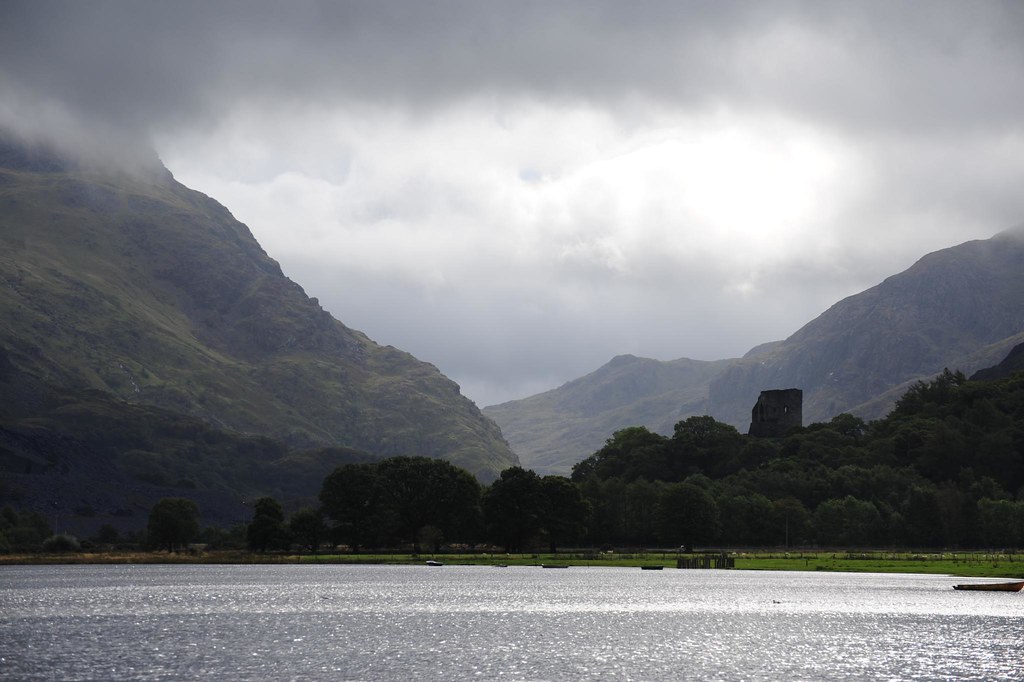
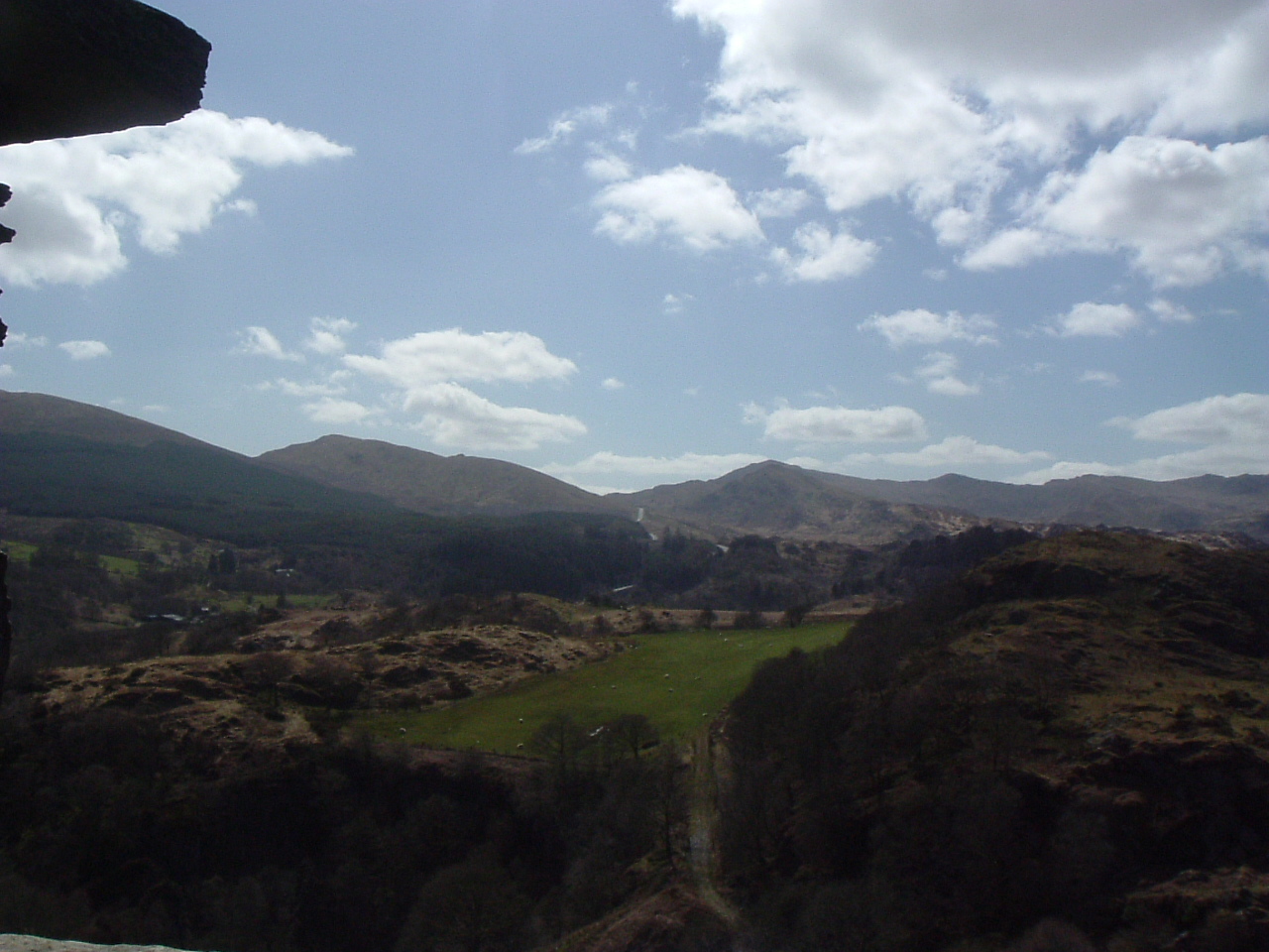
A far glimps'd turret
View of North Wales #2
Topographic Map of Carnedd Llewelyn, Bangor, Conwy LL57, UK
Find elevation by address:

Places near Carnedd Llewelyn, Bangor, Conwy LL57, UK:
Llyn Ogwen
Capel Curig
Gerlan
Glyder Fawr
Bethesda
Douglas Arms
Ll24 0ds
0 A5, Capel Curig, Betws-y-Coed LL24 0DS, UK
Mynydd Llandygai
Nant Peris
Ll57 4hu
Llandygai
Llyn Padarn And Llanberis View Point
Marian House
Deiniolen
Llanberis
Bangor
Bangor University
10 Victoria Square, Bangor LL57 4SA, UK
Bryn Eithinog
Recent Searches:
- Elevation of Corso Fratelli Cairoli, 35, Macerata MC, Italy
- Elevation of Tallevast Rd, Sarasota, FL, USA
- Elevation of 4th St E, Sonoma, CA, USA
- Elevation of Black Hollow Rd, Pennsdale, PA, USA
- Elevation of Oakland Ave, Williamsport, PA, USA
- Elevation of Pedrógão Grande, Portugal
- Elevation of Klee Dr, Martinsburg, WV, USA
- Elevation of Via Roma, Pieranica CR, Italy
- Elevation of Tavkvetili Mountain, Georgia
- Elevation of Hartfords Bluff Cir, Mt Pleasant, SC, USA