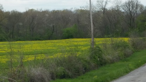
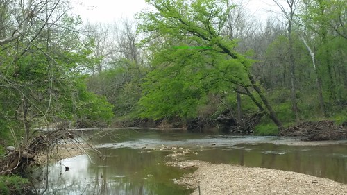
Elevation of Carnahan Road, Carnahan Rd, Macks Creek, MO, USA
Location: United States > Missouri > Camden County > Russell Township > Macks Creek >
Longitude: -92.987530
Latitude: 37.9448975
Elevation: 317m / 1040feet
Barometric Pressure: 98KPa
Related Photos:
Topographic Map of Carnahan Road, Carnahan Rd, Macks Creek, MO, USA
Find elevation by address:

Places near Carnahan Road, Carnahan Rd, Macks Creek, MO, USA:
Macks Creek
321 Horse Creek Ranch Rd
8 State Rd E, Tunas, MO, USA
Tunas
68 Prosperity Rd
2822 Mo-73
26 Post Oak Rd
832 Tunnel Dam Rd
20295 Homestead Trail
Stark Township
Grant Township
MO-64, Buffalo, MO, USA
US-54, Preston, MO, USA
Preston
14 Moonlight Ln
Windyville, MO, USA
Windyville
Jasper Township
Dallas County
25822 Us-54
Recent Searches:
- Elevation of 72-31 Metropolitan Ave, Middle Village, NY, USA
- Elevation of 76 Metropolitan Ave, Brooklyn, NY, USA
- Elevation of Alisal Rd, Solvang, CA, USA
- Elevation of Vista Blvd, Sparks, NV, USA
- Elevation of 15th Ave SE, St. Petersburg, FL, USA
- Elevation of Beall Road, Beall Rd, Florida, USA
- Elevation of Leguwa, Nepal
- Elevation of County Rd, Enterprise, AL, USA
- Elevation of Kolchuginsky District, Vladimir Oblast, Russia
- Elevation of Shustino, Vladimir Oblast, Russia


