Elevation of Carl Taylor Road, Carl Taylor Rd, Mississippi, USA
Location: United States > Mississippi > Stone County > Wiggins >
Longitude: -89.097465
Latitude: 30.899759
Elevation: 76m / 249feet
Barometric Pressure: 100KPa
Elevation Map:
Satellite Map:
Related Photos:

RUDEBWOY RIDDIMZ poster

Stone County Courthouse. Wiggins Stone County, Mississippi

September2007 ID

MGCCC vs Co-Lin

Flint Creek Water Park, MS

Black Creek Trail

Black Creek Trail

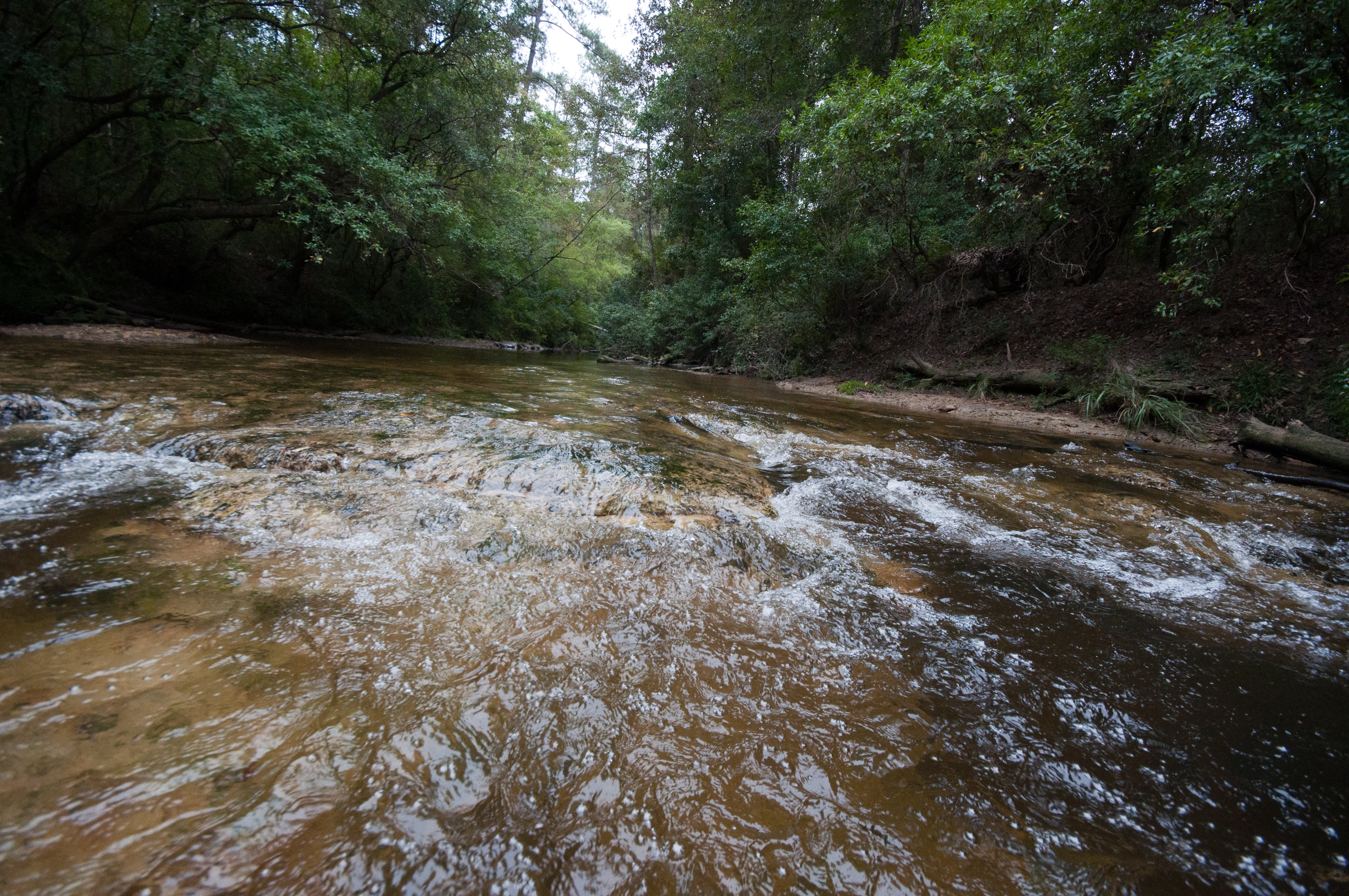
Black Creek Trail

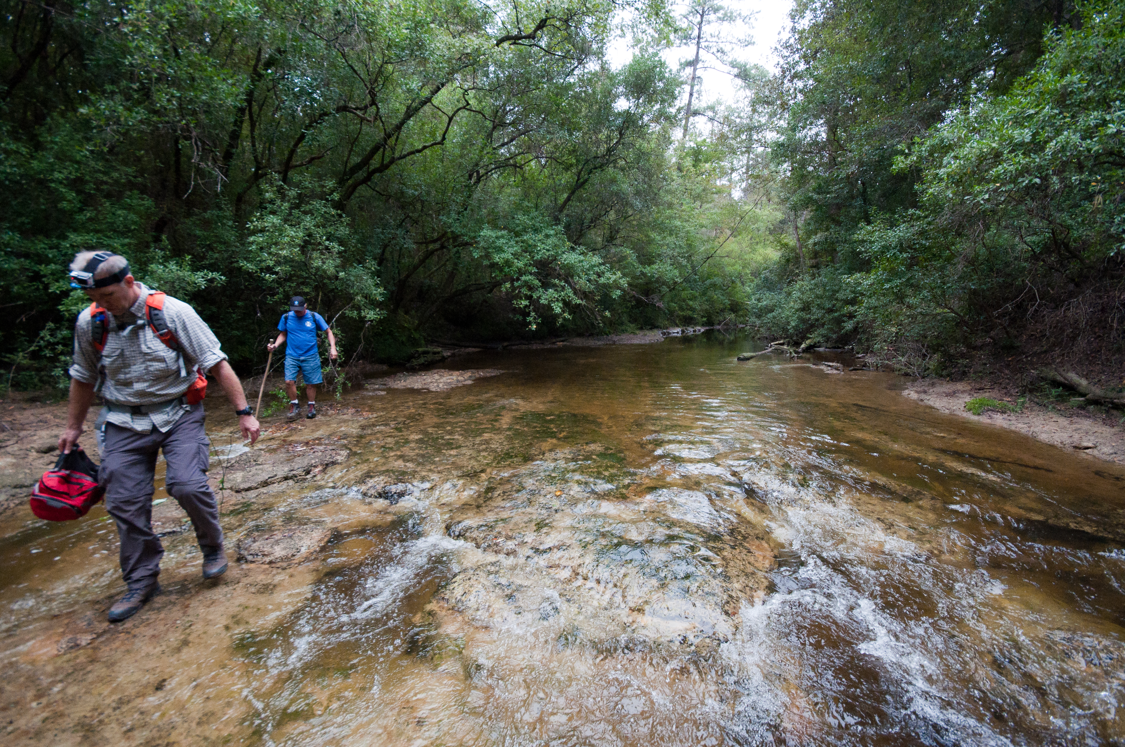
Black Creek Trail

flint creek cabin
Black Creek Trail

Black Creek Trail

Black Creek Trail
Black Creek Trail

Black Creek Trail

Black Creek Trail

Black Creek Trail
Topographic Map of Carl Taylor Road, Carl Taylor Rd, Mississippi, USA
Find elevation by address:

Places near Carl Taylor Road, Carl Taylor Rd, Mississippi, USA:
Gavin Road
Wiggins
Bluff Creek Road
27 Fruitland Park Rd, Wiggins, MS, USA
10 Mile Church Road
Big Level
Wallace Road
3016 Ms-15
Stone County
Perkinston
34 Carl O'neal Rd
75 McHenry Ave, McHenry, MS, USA
Mchenry
251 Smithtown Rd
Ramsey Springs
19 Buster Shaw Rd
Buster Shaw Road
Pine St, Saucier, MS, USA
Trail End Road
Saucier
Recent Searches:
- Elevation of Elwyn Dr, Roanoke Rapids, NC, USA
- Elevation of Congressional Dr, Stevensville, MD, USA
- Elevation of Bellview Rd, McLean, VA, USA
- Elevation of Stage Island Rd, Chatham, MA, USA
- Elevation of Shibuya Scramble Crossing, 21 Udagawacho, Shibuya City, Tokyo -, Japan
- Elevation of Jadagoniai, Kaunas District Municipality, Lithuania
- Elevation of Pagonija rock, Kranto 7-oji g. 8"N, Kaunas, Lithuania
- Elevation of Co Rd 87, Jamestown, CO, USA
- Elevation of Tenjo, Cundinamarca, Colombia
- Elevation of Côte-des-Neiges, Montreal, QC H4A 3J6, Canada