Elevation of Carbon, AB T0M, Canada
Location: Canada > Alberta > Division No. 5 >
Longitude: -113.15407
Latitude: 51.485685
Elevation: 779m / 2556feet
Barometric Pressure: 92KPa
Elevation Map:
Satellite Map:
Related Photos:
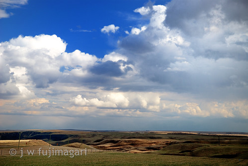
Coulee View

Past Prairie Lives.
Summer smile

Aurora night
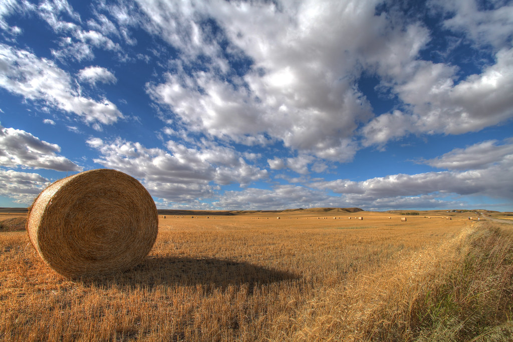
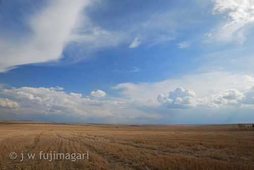
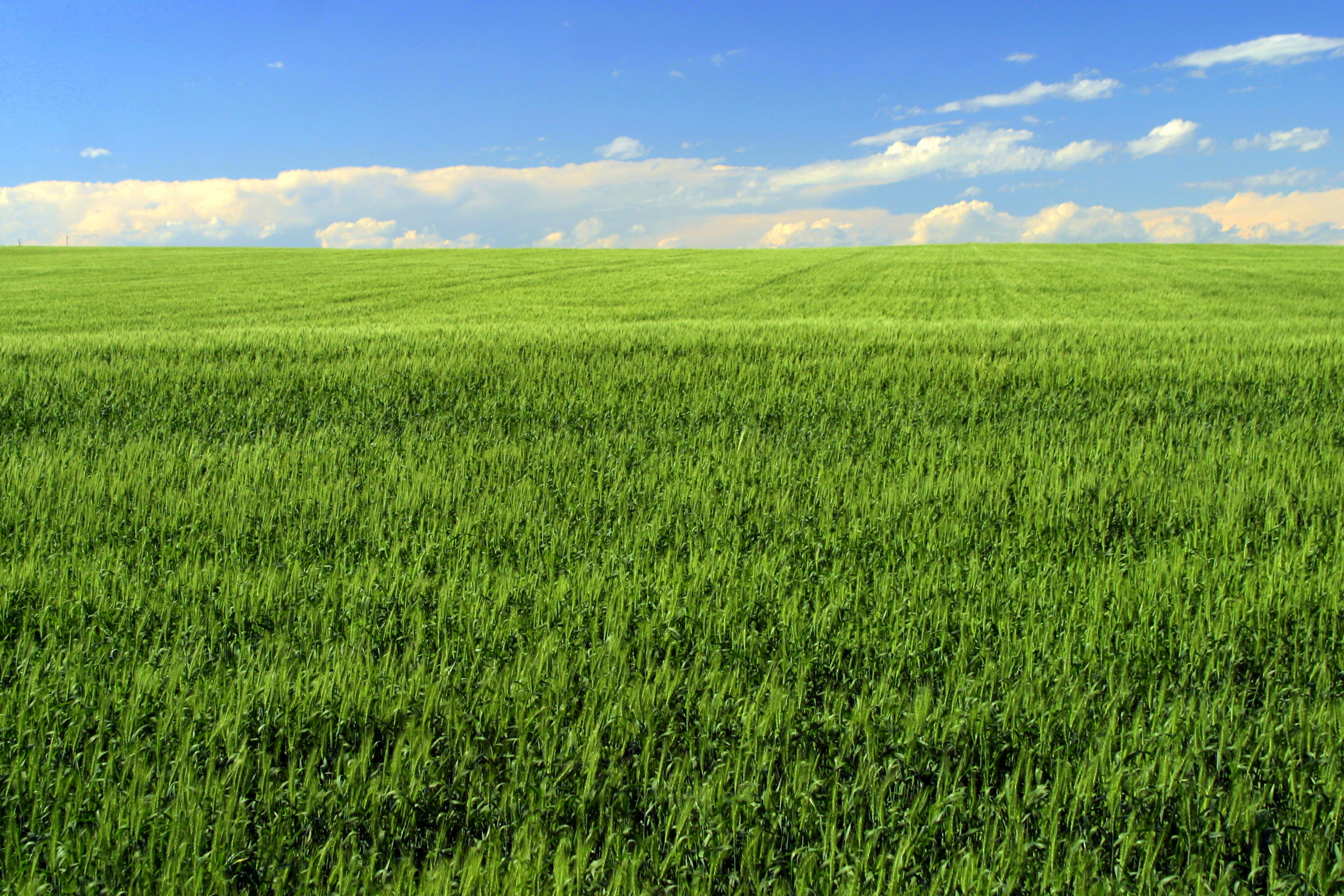
Big Sky, grainfield Alberta - HDR
Sometimes it is the simple things that catch my attention
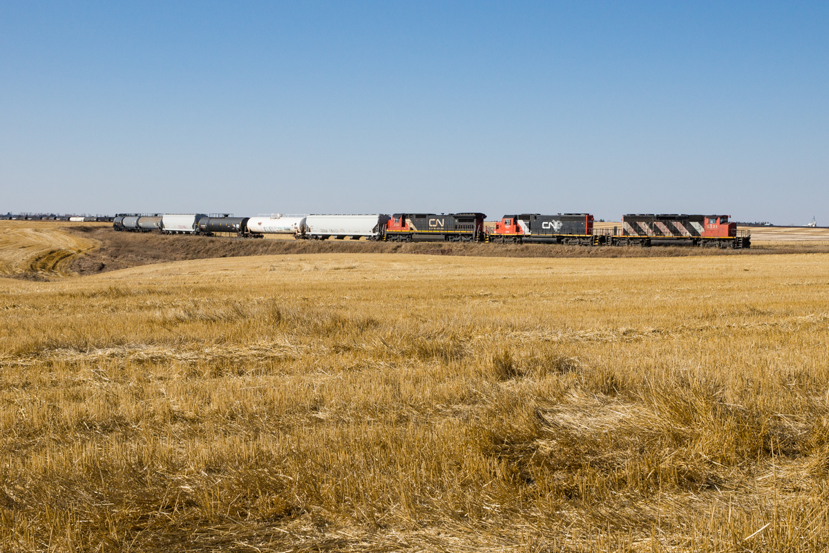
CN 443 @ Grainger, AB
Prairie Vista II
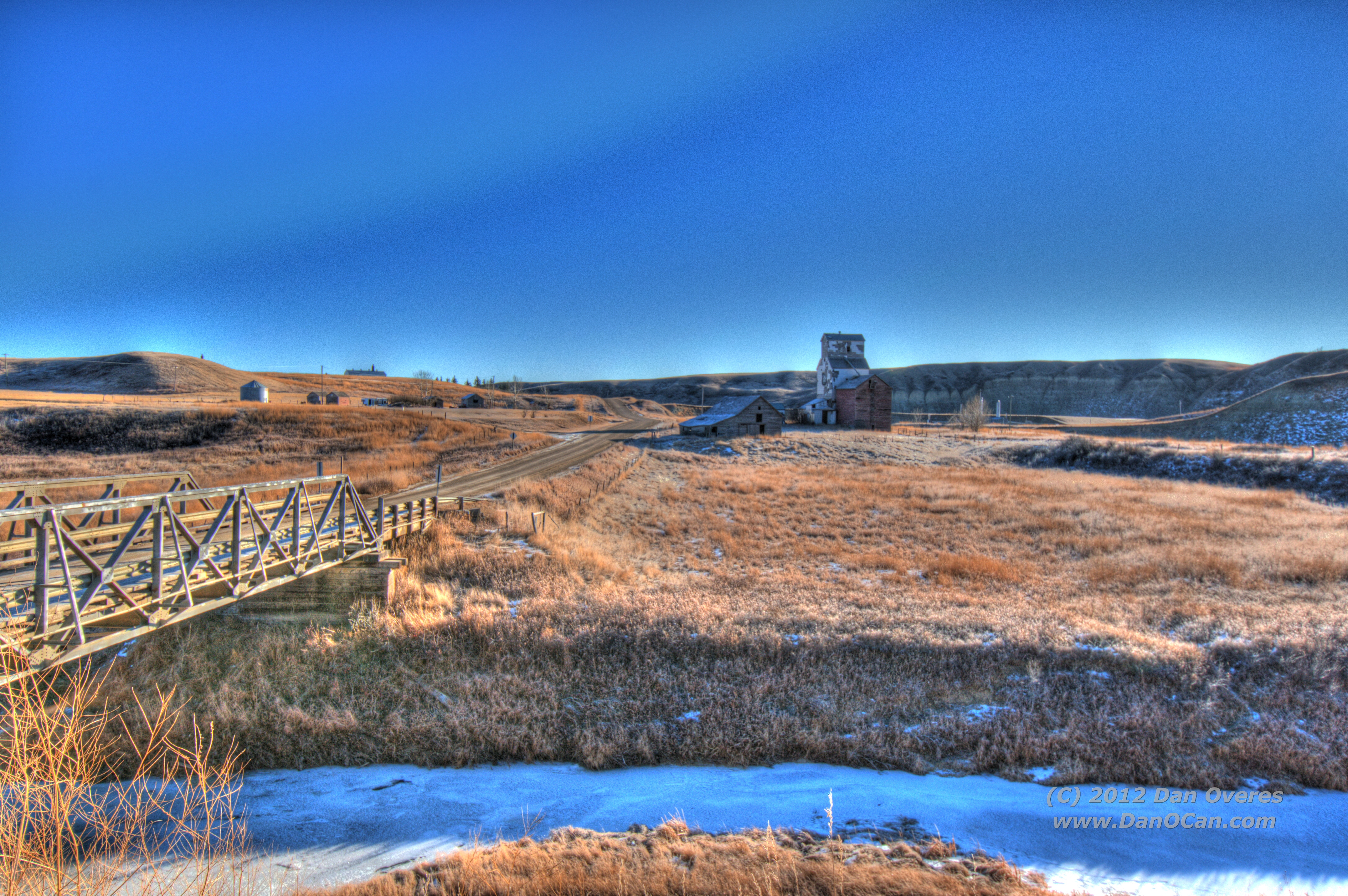
Welcome to Sharples
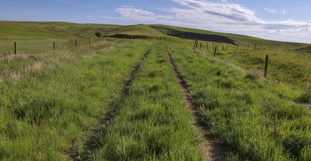
Prairie Vista
Prairie Vista I

Orange Sunset

White Spruce Trees

Erwin's Jump
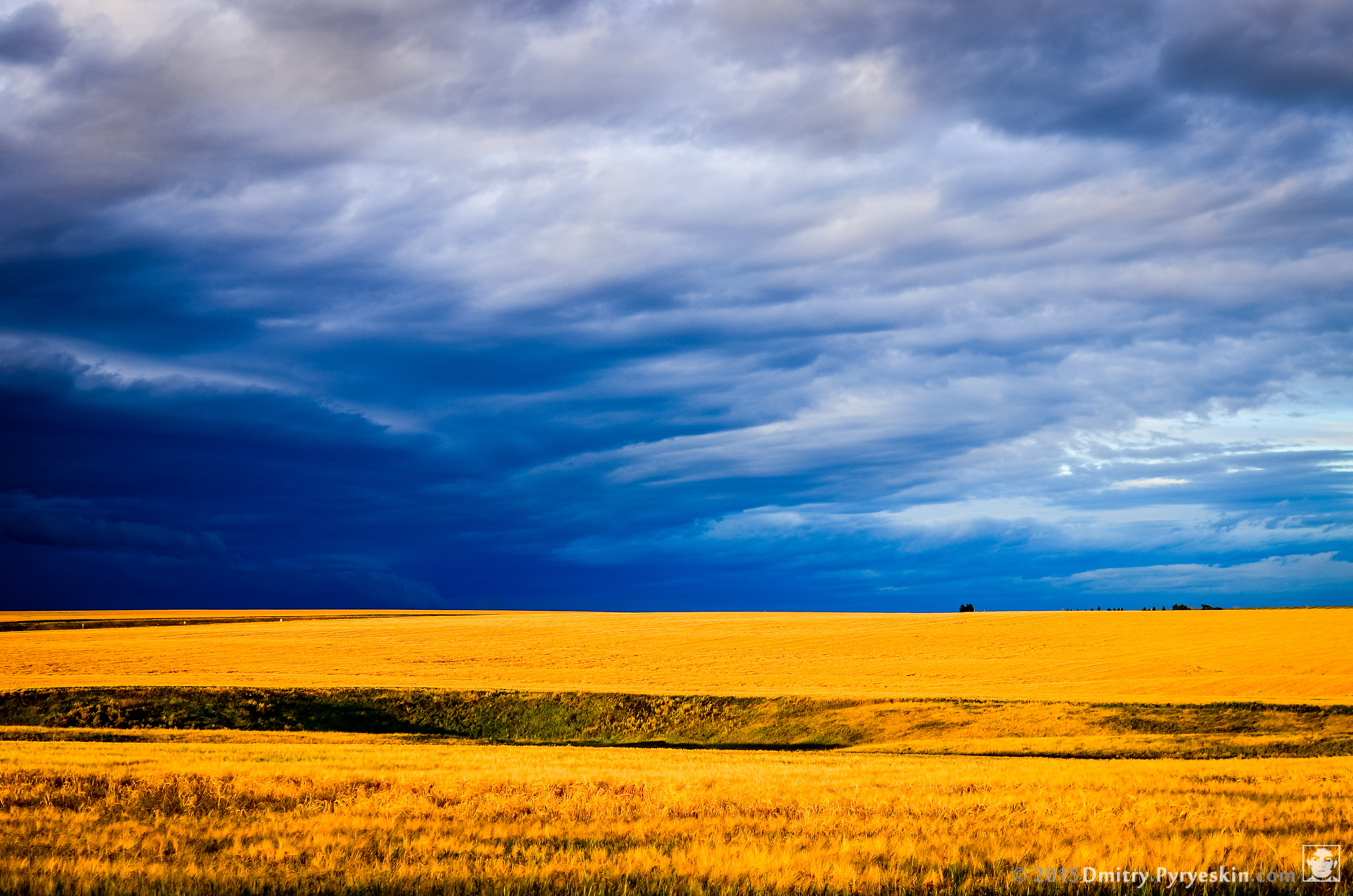
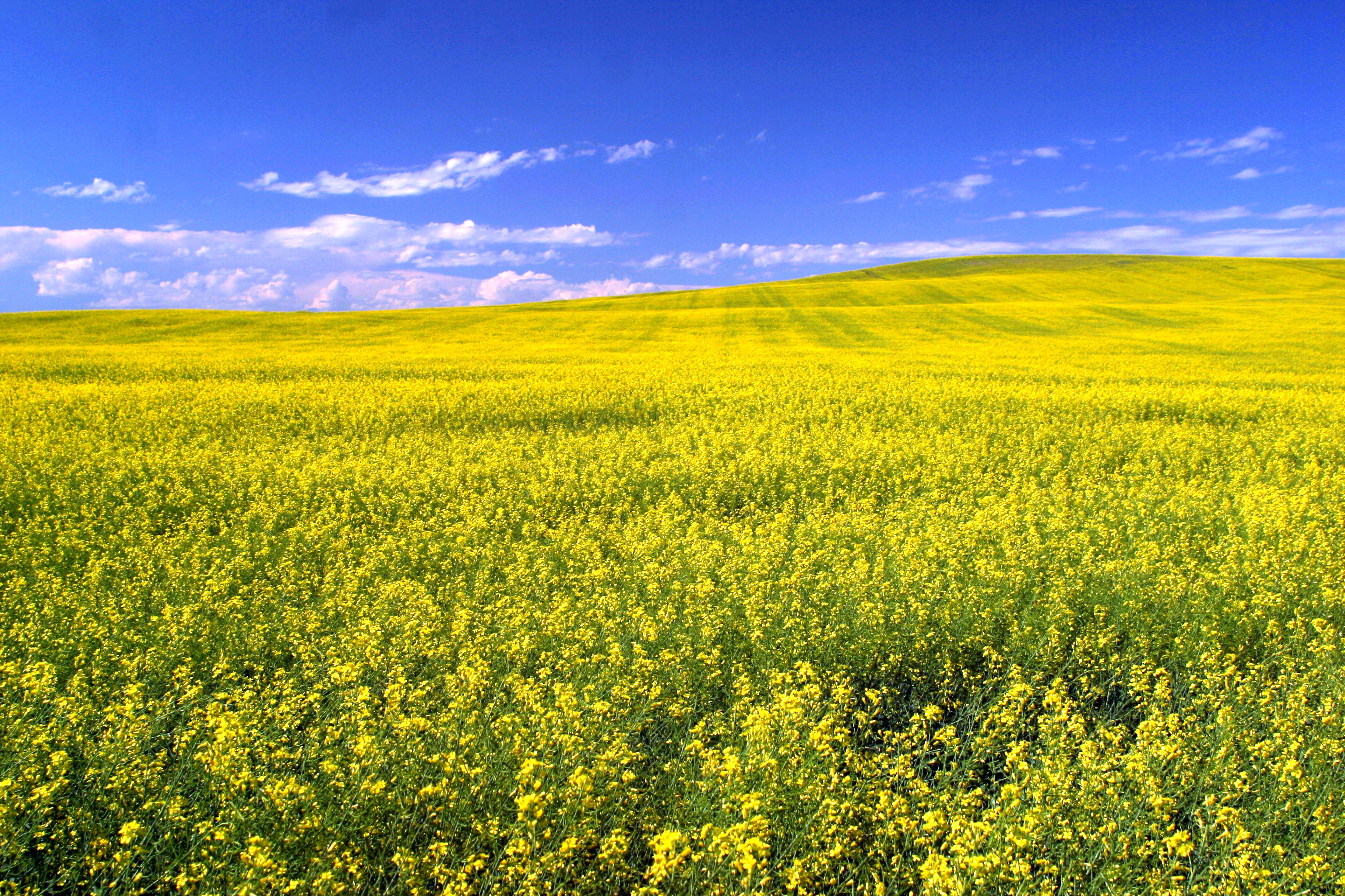
Blue and gold
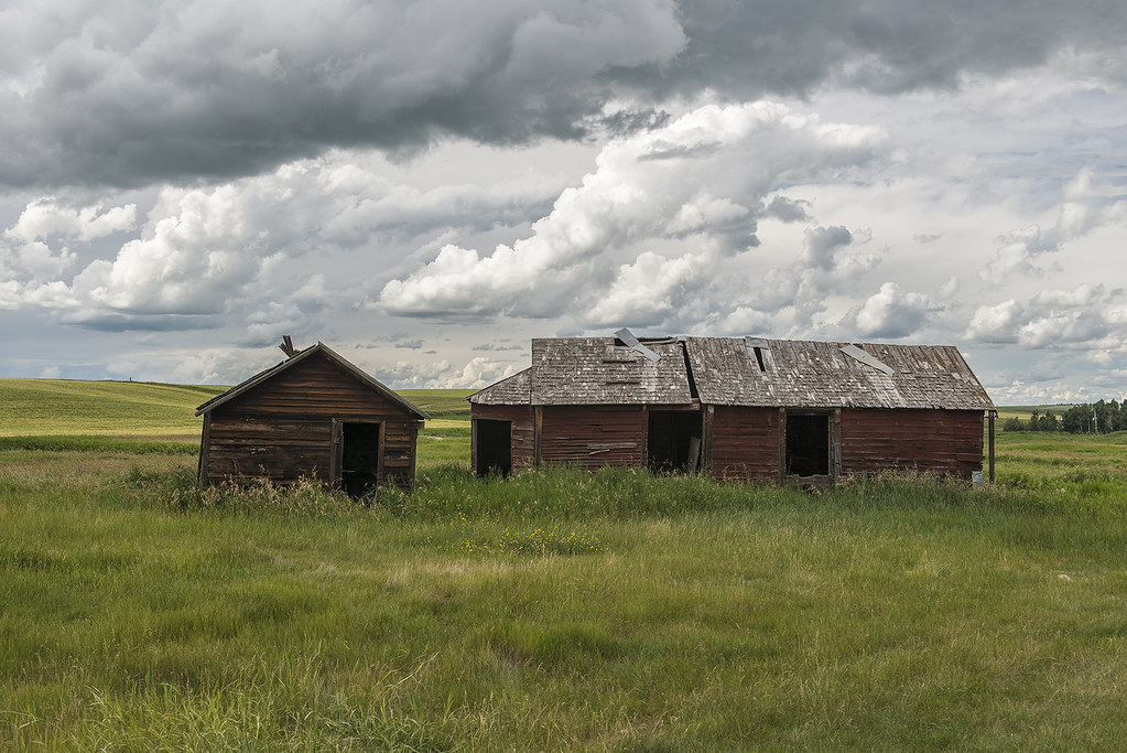
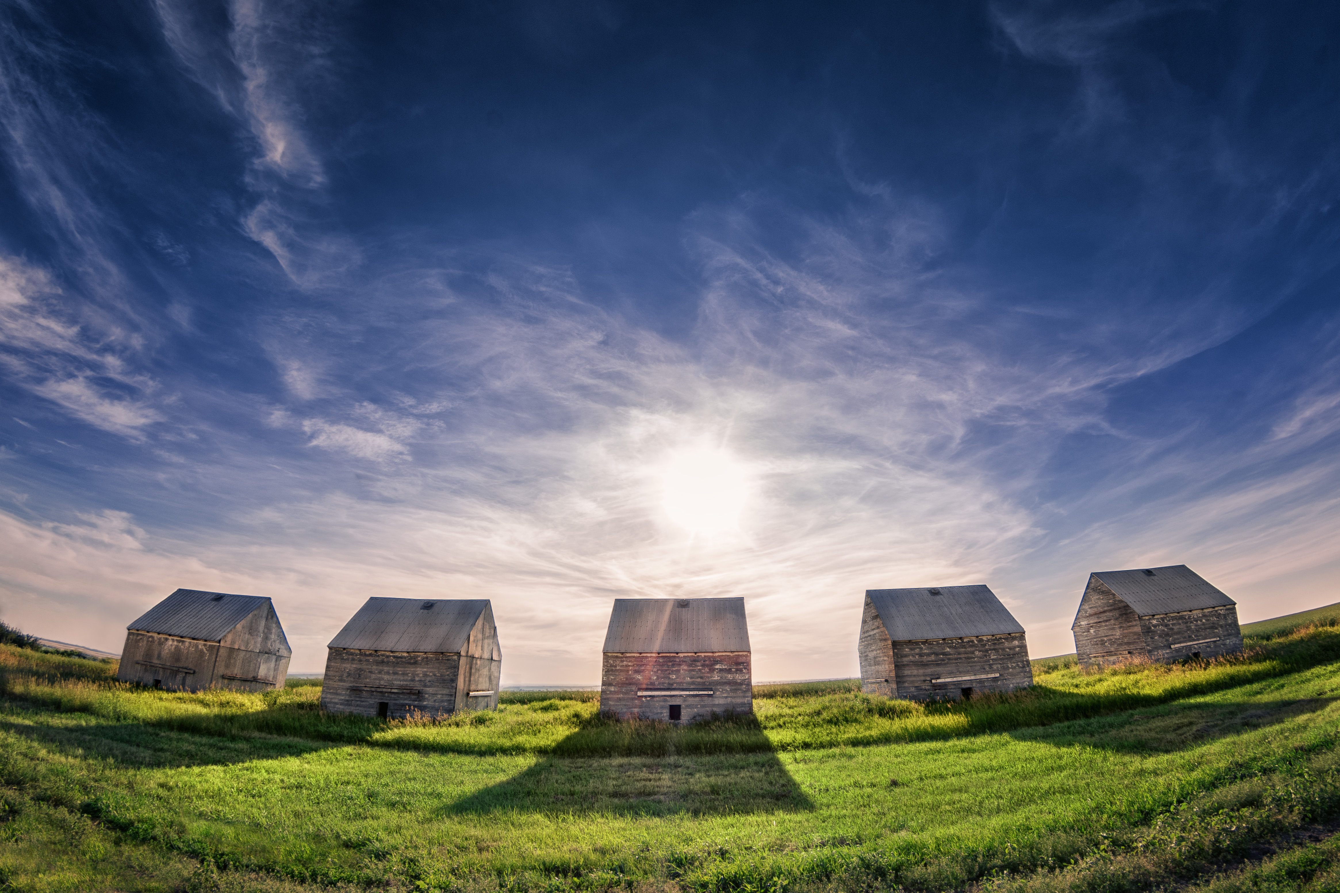
Delapitated Farm Building
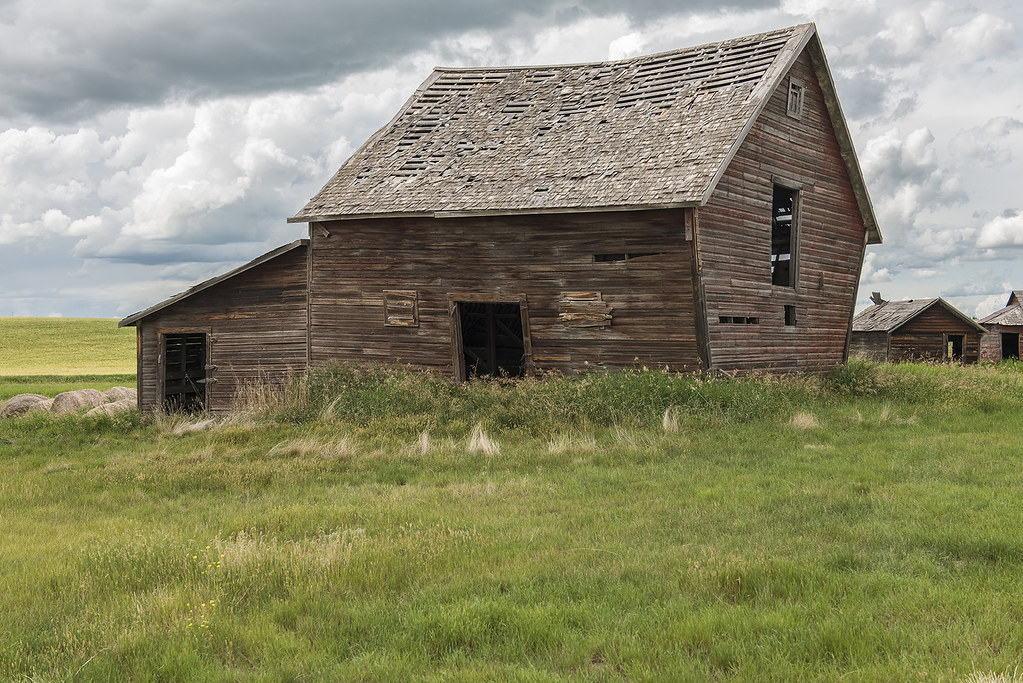
Delapitated Farm Building
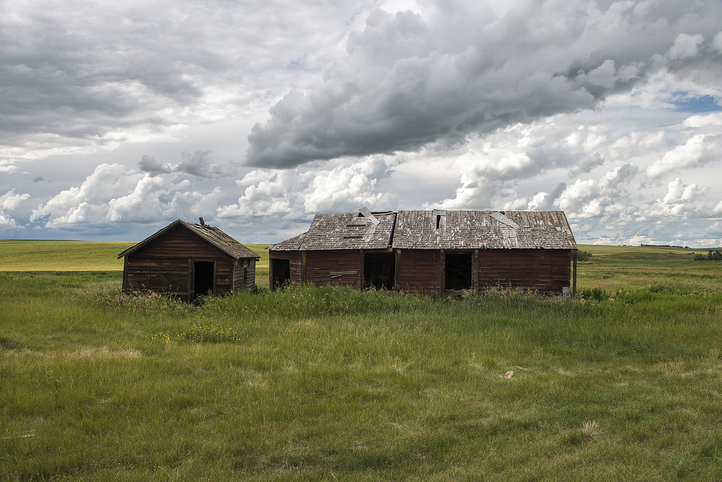
Delapitated Farm Building
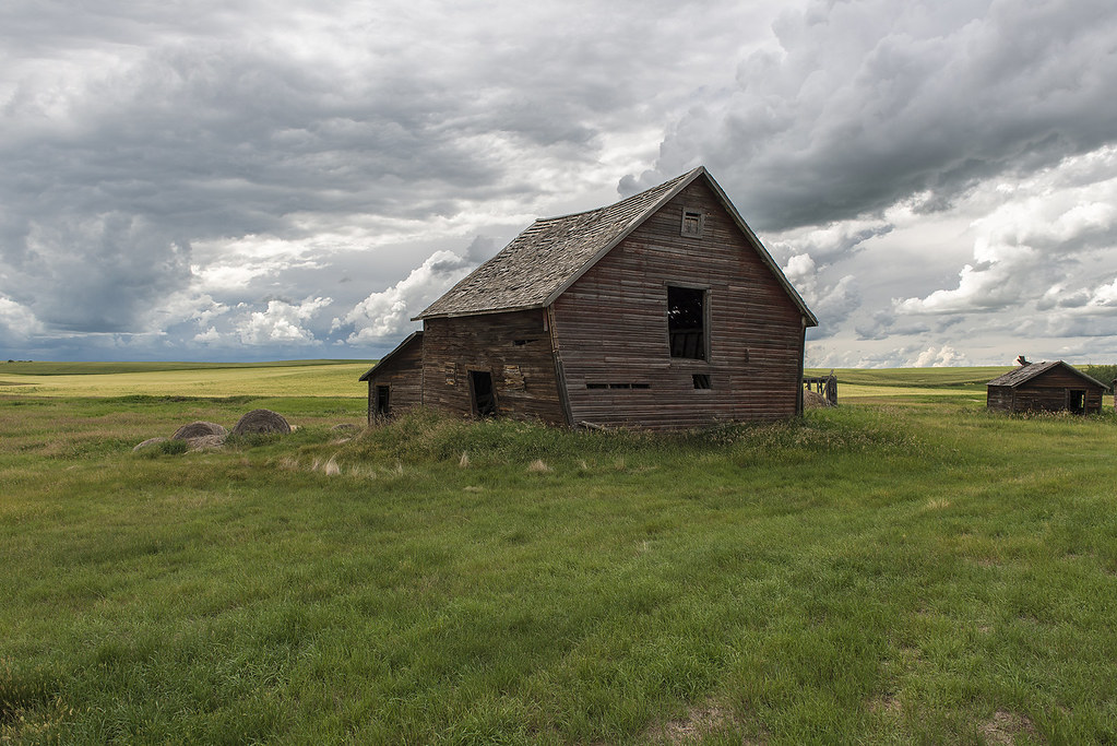
Delapitated Farm Building
Topographic Map of Carbon, AB T0M, Canada
Find elevation by address:

Places in Carbon, AB T0M, Canada:
Places near Carbon, AB T0M, Canada:
Caradoc Ave, Carbon, AB T0M 0L0, Canada
Trochu
Kneehill County
Drumheller
1010 Twin Hill Close
Riverside Dr E, Drumheller, AB T0J 0Y4, Canada
903 11 St Se
Irricana
200 Ranch Market
Wheatland County
Elnora
Strathmore
Centre St, Drumheller, AB T0J 0Y6, Canada
Wimborne
Lyalta
79 Muirfield Cl, Lyalta, AB T0J 1Y1, Canada
Railway Ave, Cheadle, AB T0J 1X0, Canada
Cheadle
Gleichen
Deadhorse Lake
Recent Searches:
- Elevation of W Granada St, Tampa, FL, USA
- Elevation of Pykes Down, Ivybridge PL21 0BY, UK
- Elevation of Jalan Senandin, Lutong, Miri, Sarawak, Malaysia
- Elevation of Bilohirs'k
- Elevation of 30 Oak Lawn Dr, Barkhamsted, CT, USA
- Elevation of Luther Road, Luther Rd, Auburn, CA, USA
- Elevation of Unnamed Road, Respublika Severnaya Osetiya — Alaniya, Russia
- Elevation of Verkhny Fiagdon, North Ossetia–Alania Republic, Russia
- Elevation of F. Viola Hiway, San Rafael, Bulacan, Philippines
- Elevation of Herbage Dr, Gulfport, MS, USA