Elevation of Canyon View Rd, Wenatchee, WA, USA
Location: United States > Washington > Chelan County > Wenatchee >
Longitude: -120.32826
Latitude: 47.346991
Elevation: 613m / 2011feet
Barometric Pressure: 94KPa
Elevation Map:
Satellite Map:
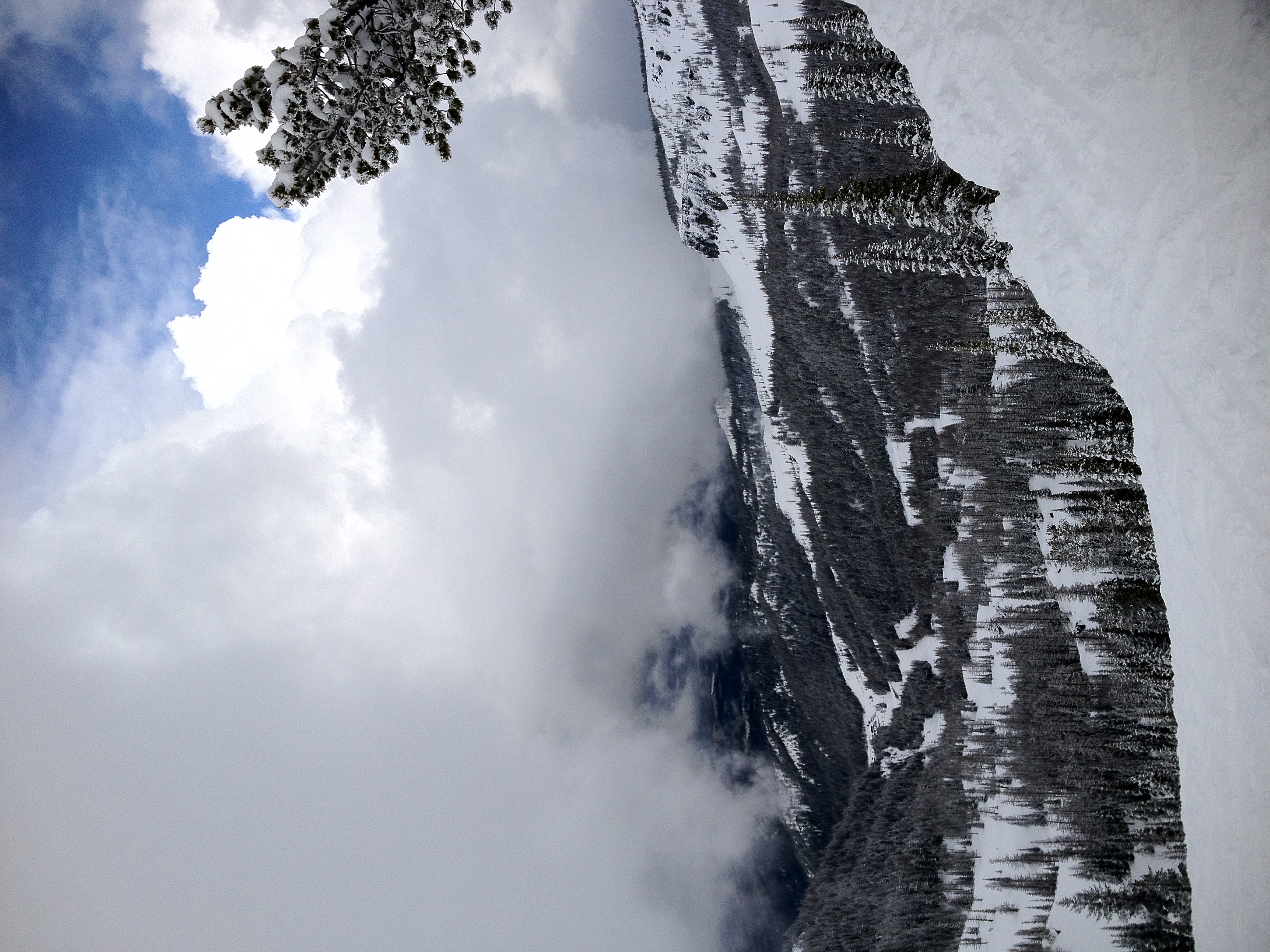
Related Photos:

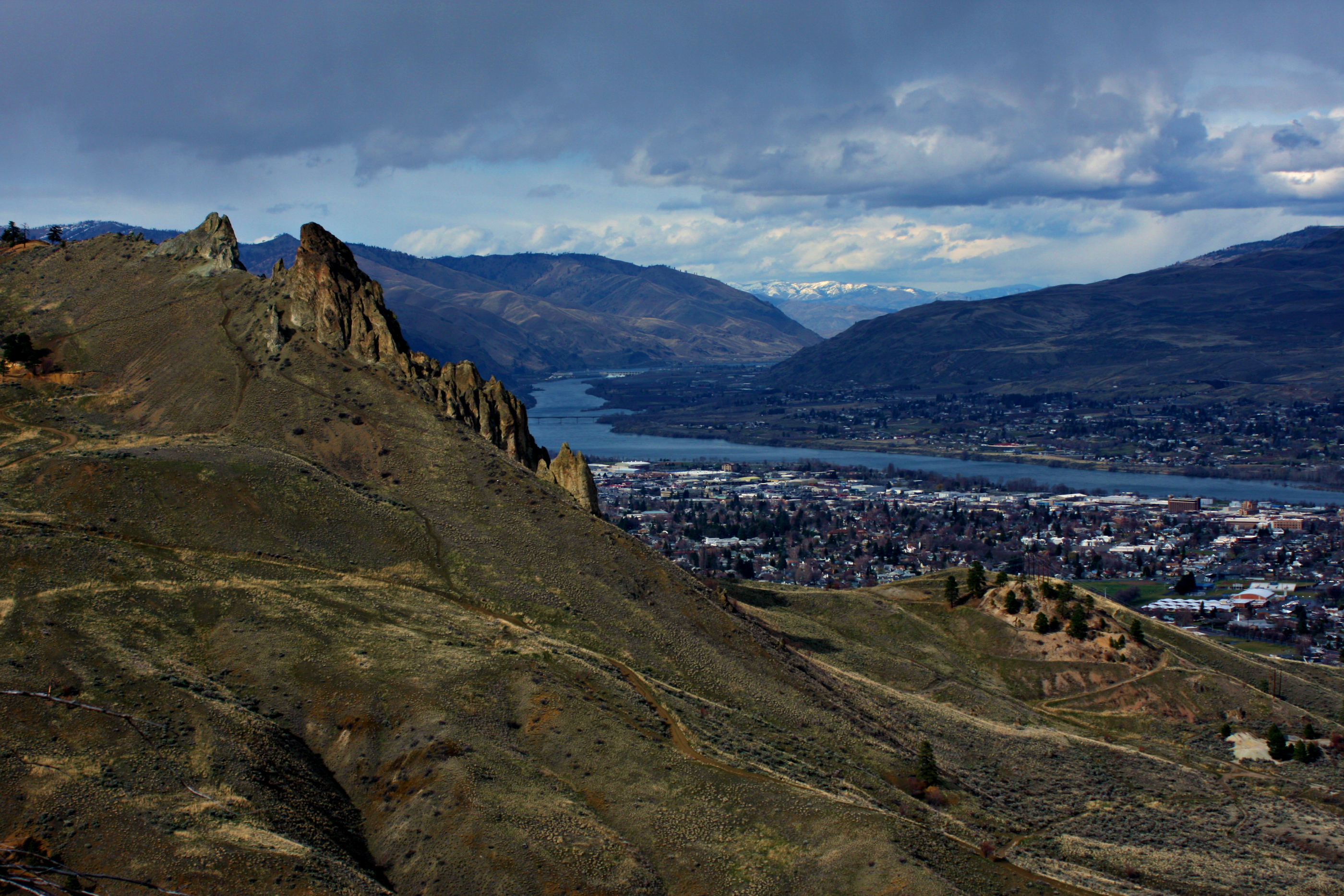
South view / 南景
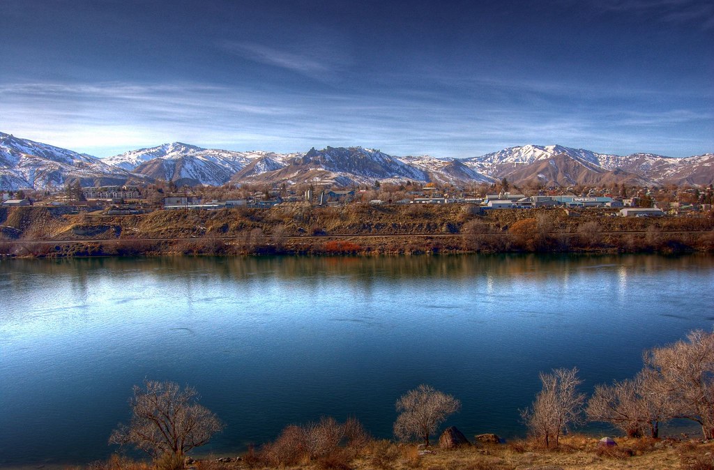
Wenatchee Valley View II
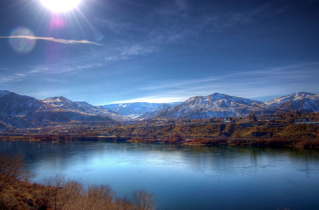
Wenatchee Valley View
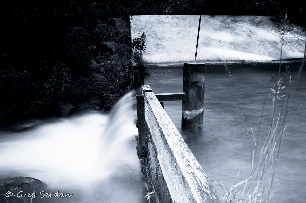
Upper Wheeler Outlet side view
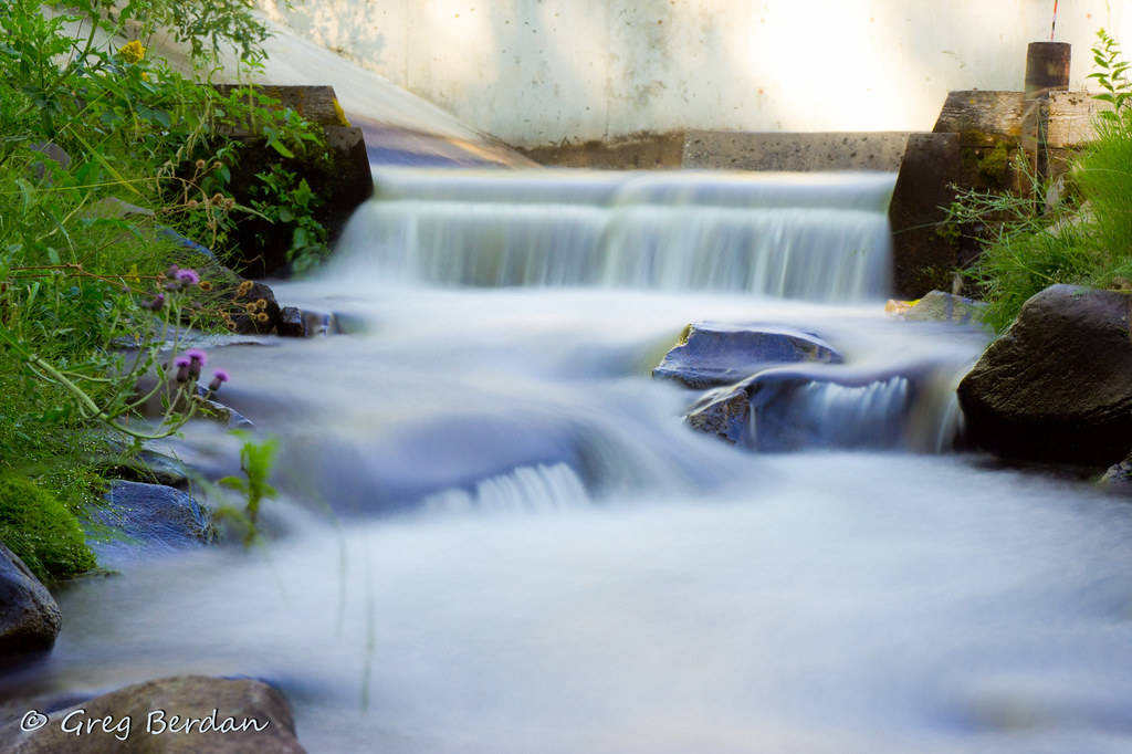
Upper Wheeler Outlet

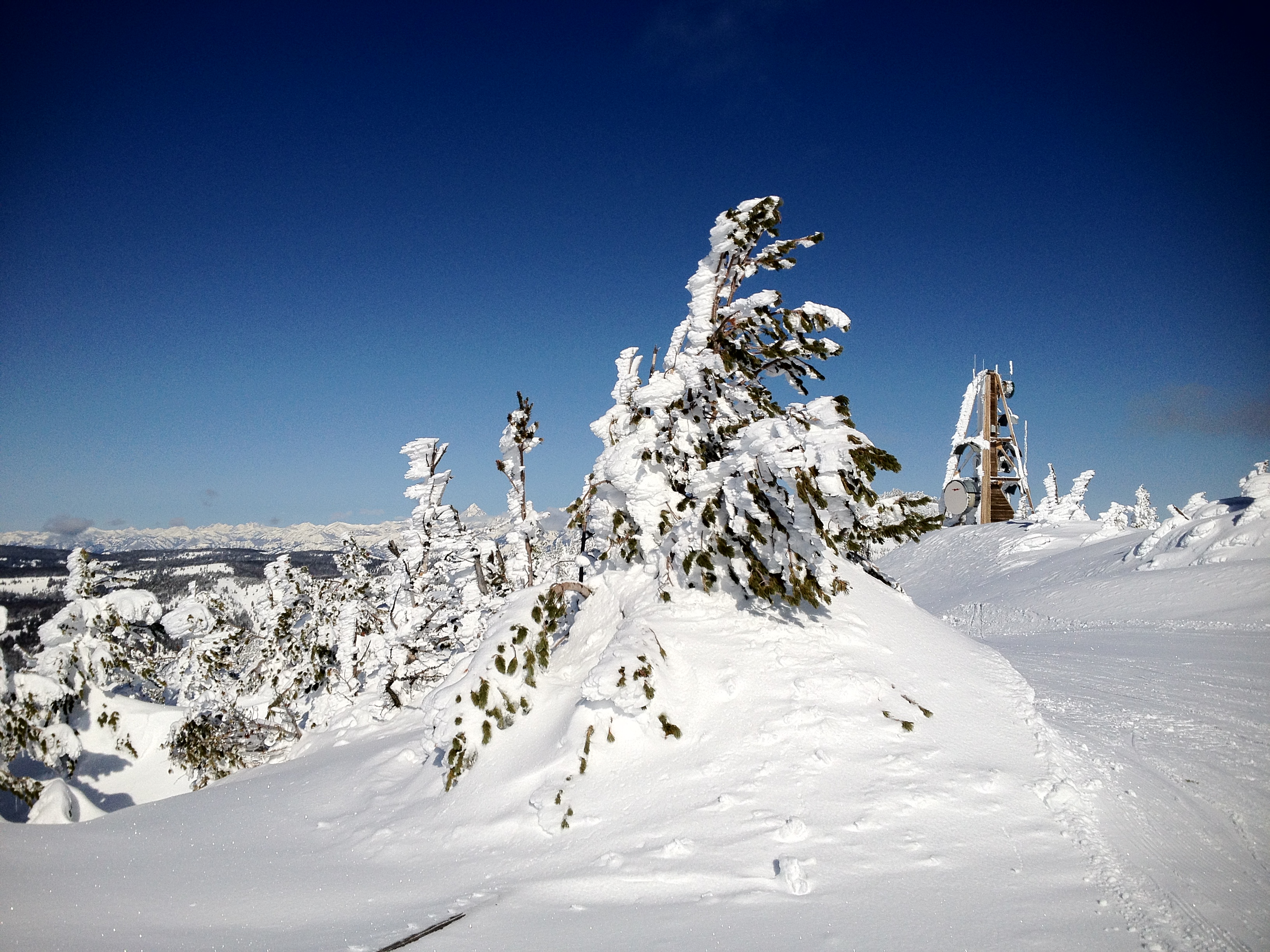
Frazzled - Explored

Spare a glance
Overlooking Saddlerock
LV0822DSC00204.JPG

Processed Post
LV0823DSC00205.JPG
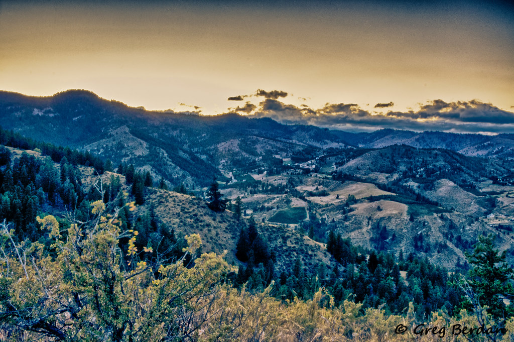
View of Halverson Canyon
LV0833DSC00215.JPG
LV0816DSC00198.JPG
LV0815DSC00197.JPG
LV0824DSC00206.JPG

LV0830DSC00212.JPG
LV0829DSC00211.JPG
LV0831DSC00213.JPG
LV0755DSC00137.JPG
LV0832DSC00214.JPG
Close together - Explored

Cross my mind / 掠過心頭

Empire Builder

You'll come back around
Sunrise Rock Garden

Chasing rainbows 13/52
After The Fire 7
Between bales

Saddle Rock

Peeling on Texture
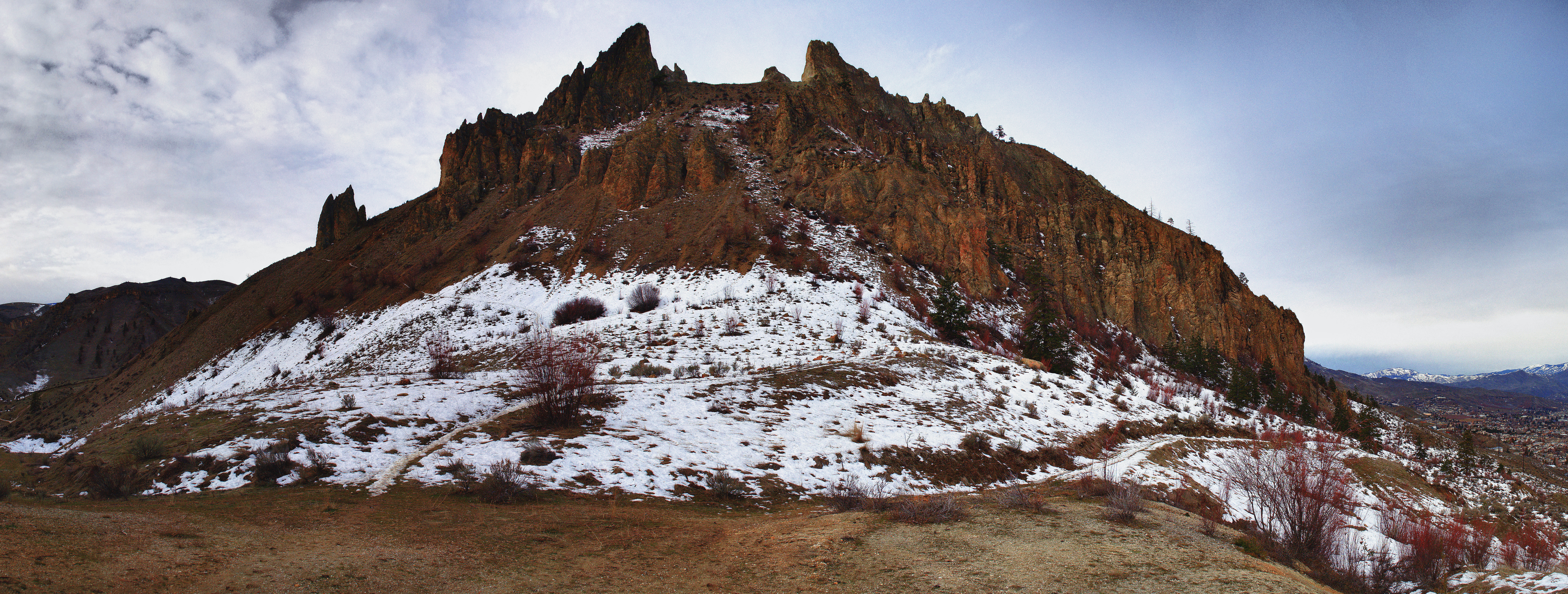
Saddle Rock head on
IMG_1195.JPG
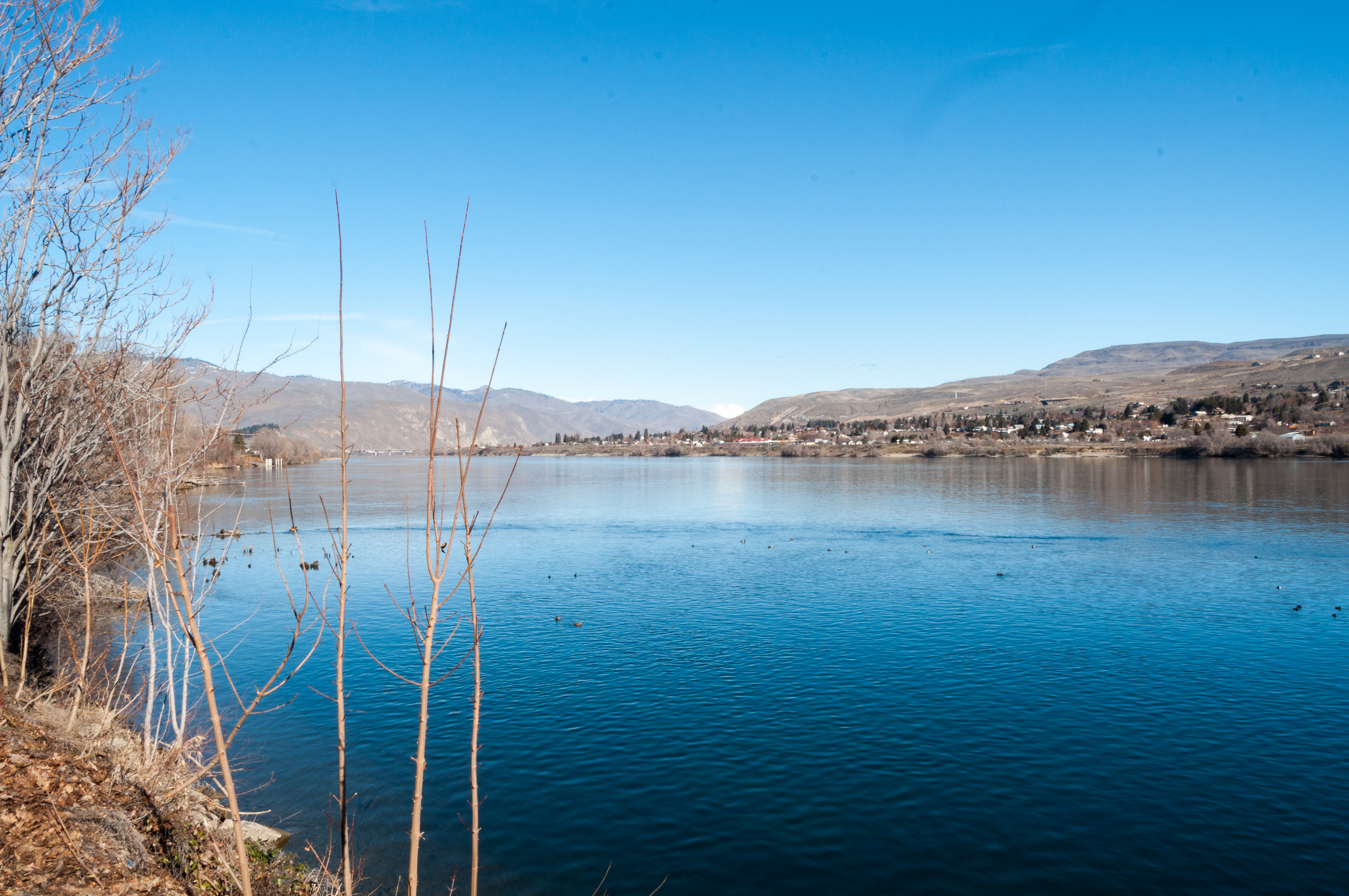
Columbia River
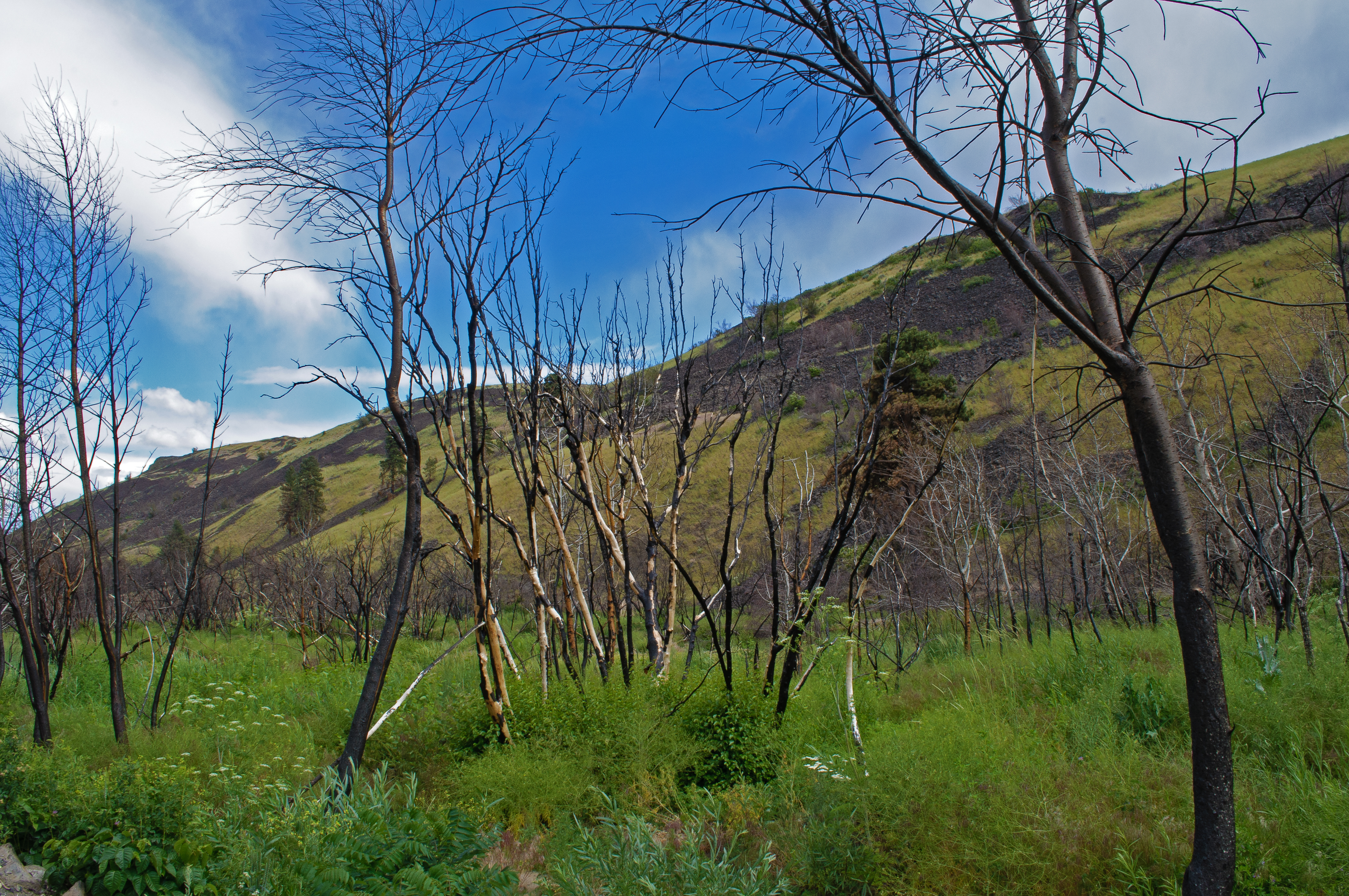
After The Fire 8
IMG_1150.JPG
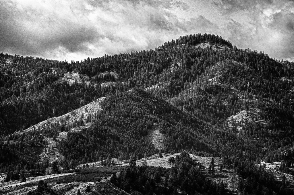
Beehive Mountain B&W - Explored
Topographic Map of Canyon View Rd, Wenatchee, WA, USA
Find elevation by address:

Places near Canyon View Rd, Wenatchee, WA, USA:
4993 Squilchuck Rd
Jacobucci Construction
1666 Pitcher Canyon Rd
E Edgemont Dr, Wenatchee, WA, USA
5315 Stemilt Creek Rd
Saddle Rock Trailhead
1217 Red Apple Rd
1226 Red Apple Rd
1474 S Wenatchee Ave
1101 Millerdale Ave
6657 Forest Ridge Dr
1018 Cherry St
Number 2 Canyon Road
Number 2 Canyon Road
805 S Mission St
1912 Grandview Loop
Castlerock Avenue
Valley Mall Pkwy, East Wenatchee, WA, USA
East Wenatchee
Wenatchee
Recent Searches:
- Elevation of Felindre, Swansea SA5 7LU, UK
- Elevation of Leyte Industrial Development Estate, Isabel, Leyte, Philippines
- Elevation of W Granada St, Tampa, FL, USA
- Elevation of Pykes Down, Ivybridge PL21 0BY, UK
- Elevation of Jalan Senandin, Lutong, Miri, Sarawak, Malaysia
- Elevation of Bilohirs'k
- Elevation of 30 Oak Lawn Dr, Barkhamsted, CT, USA
- Elevation of Luther Road, Luther Rd, Auburn, CA, USA
- Elevation of Unnamed Road, Respublika Severnaya Osetiya — Alaniya, Russia
- Elevation of Verkhny Fiagdon, North Ossetia–Alania Republic, Russia