Elevation of Canyon, BC V0B, Canada
Location: Canada > British Columbia > Central Kootenay > Central Kootenay B >
Longitude: -116.44777
Latitude: 49.0836154
Elevation: 658m / 2159feet
Barometric Pressure: 94KPa
Elevation Map:
Satellite Map:
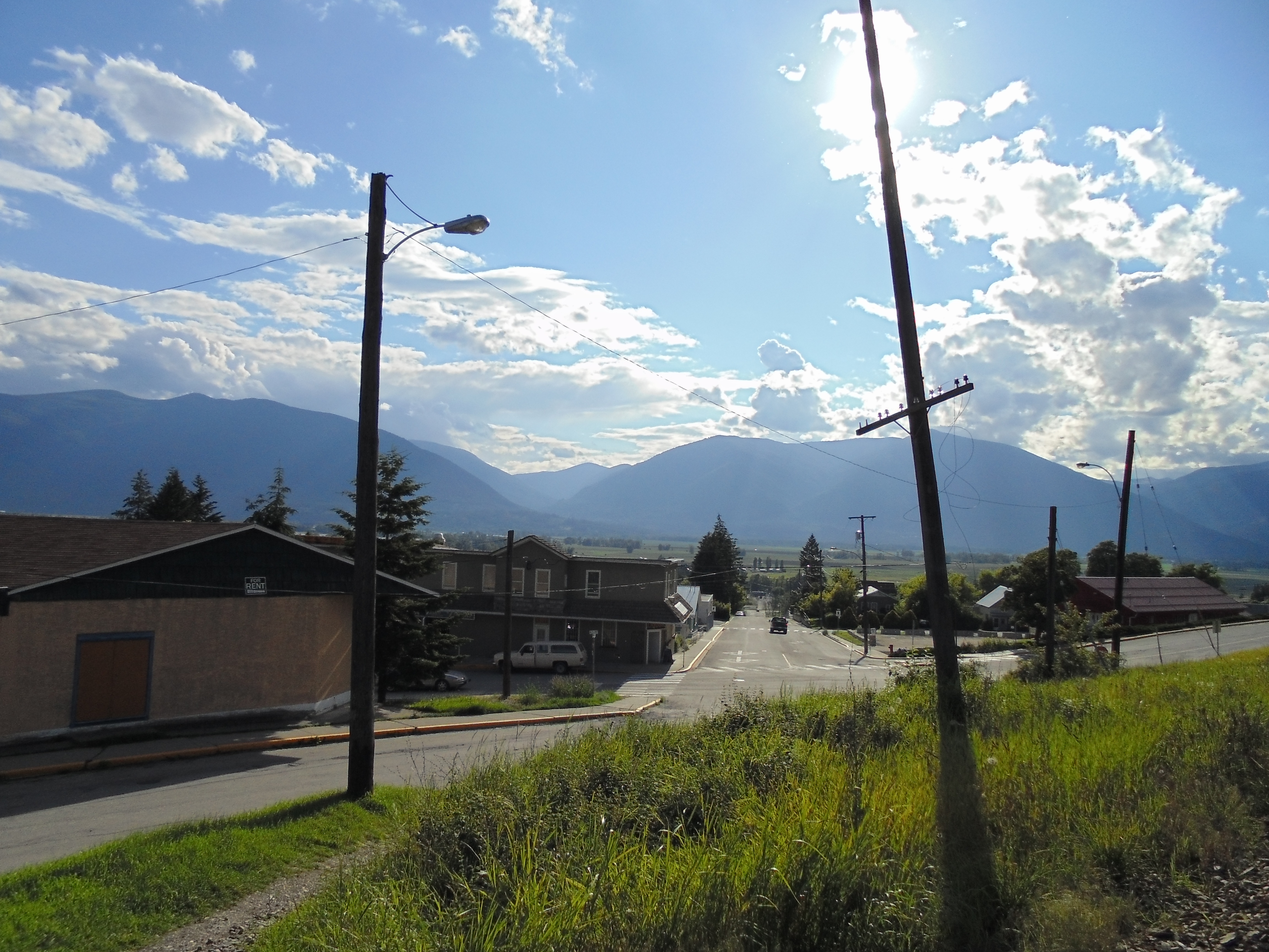
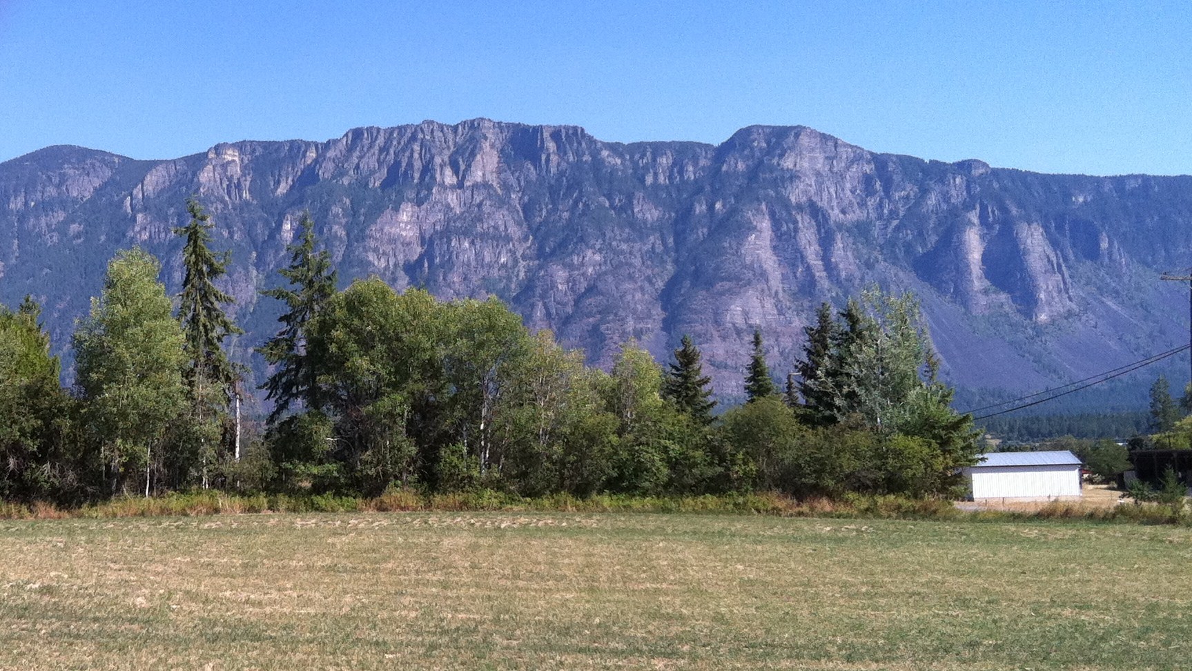
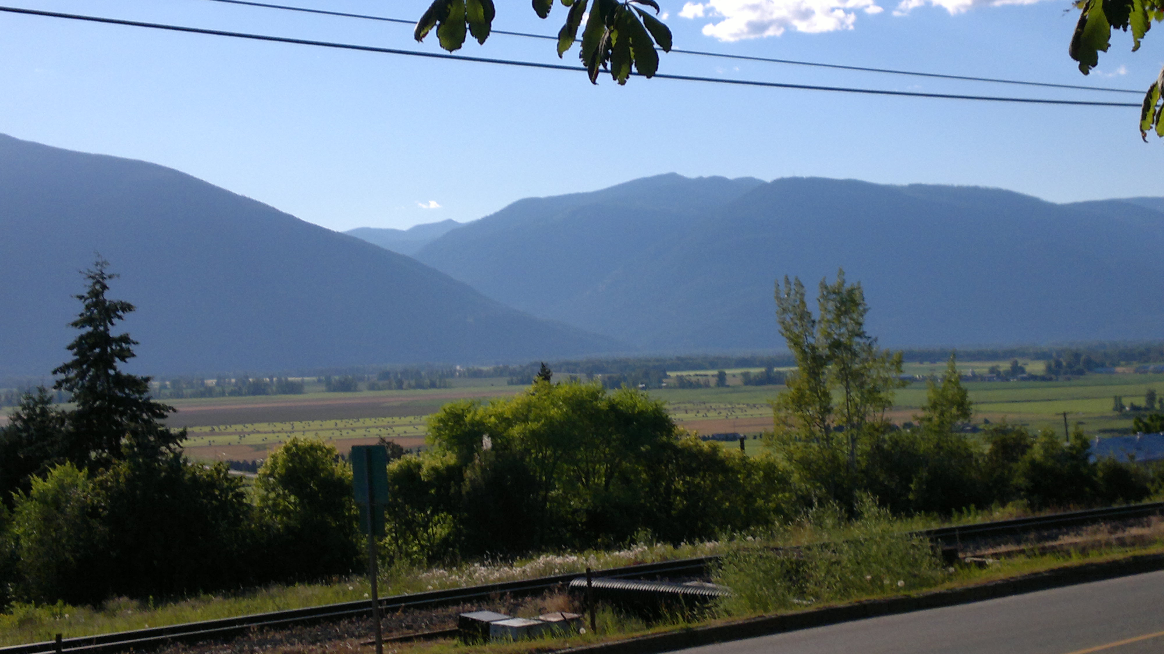
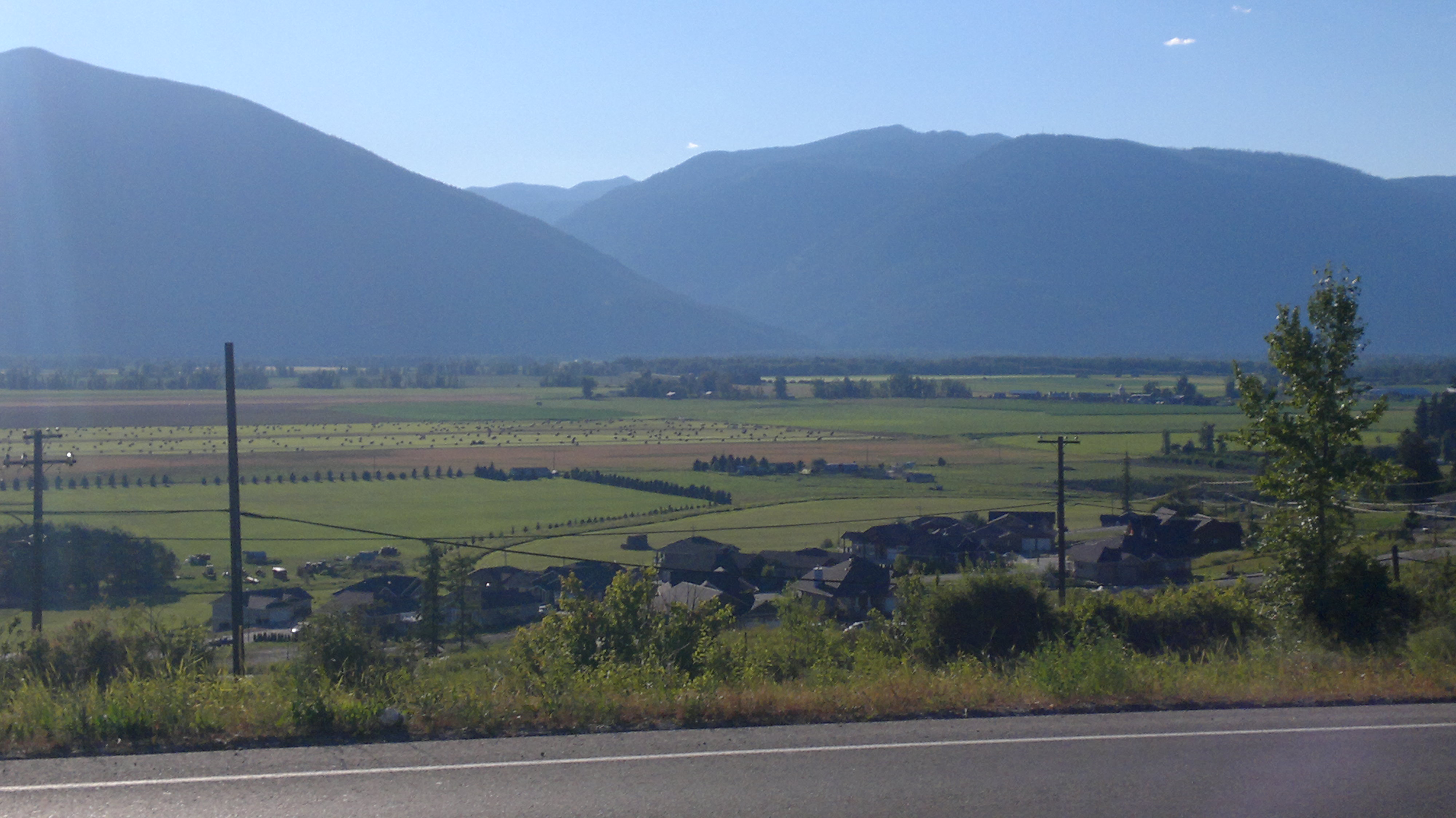
Related Photos:
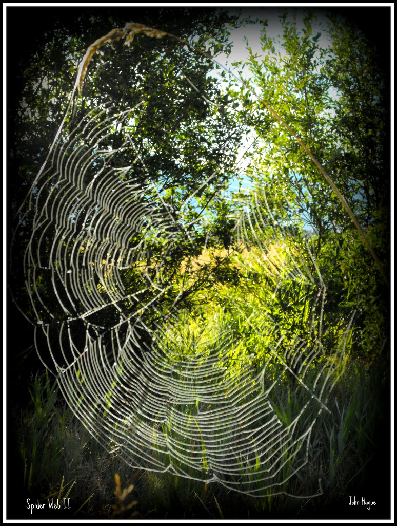
Spider Web II
Rear View Stare
American Kestrel

Savannah Sparrow
19990715-007

Pine Siskin

Savannah Sparrow
2006-08-15 14-09-04
Pond behind the grocery store - 17
2006-08-15 14-09-06
Selkirk Dave 111
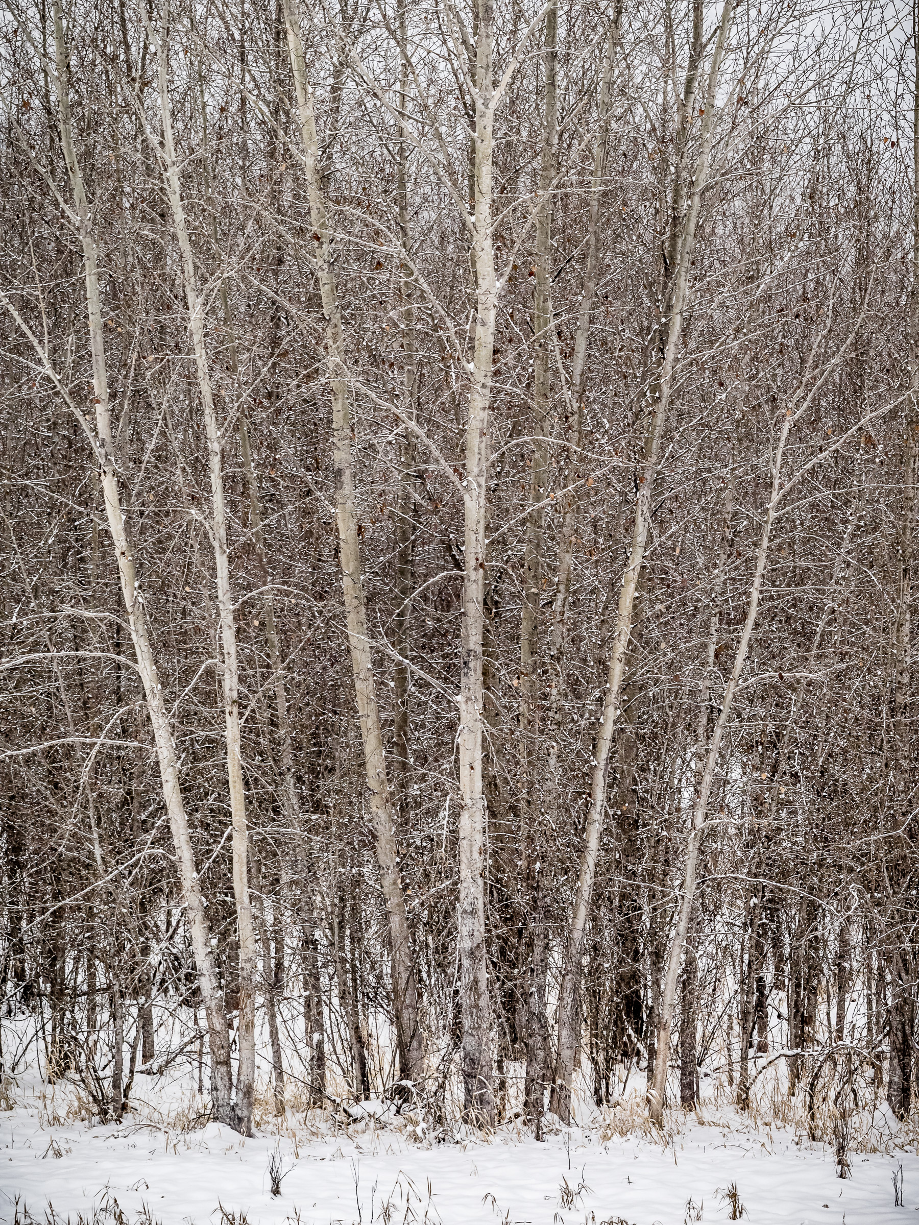
Winter Scene #1
2006-08-15 14-08-51
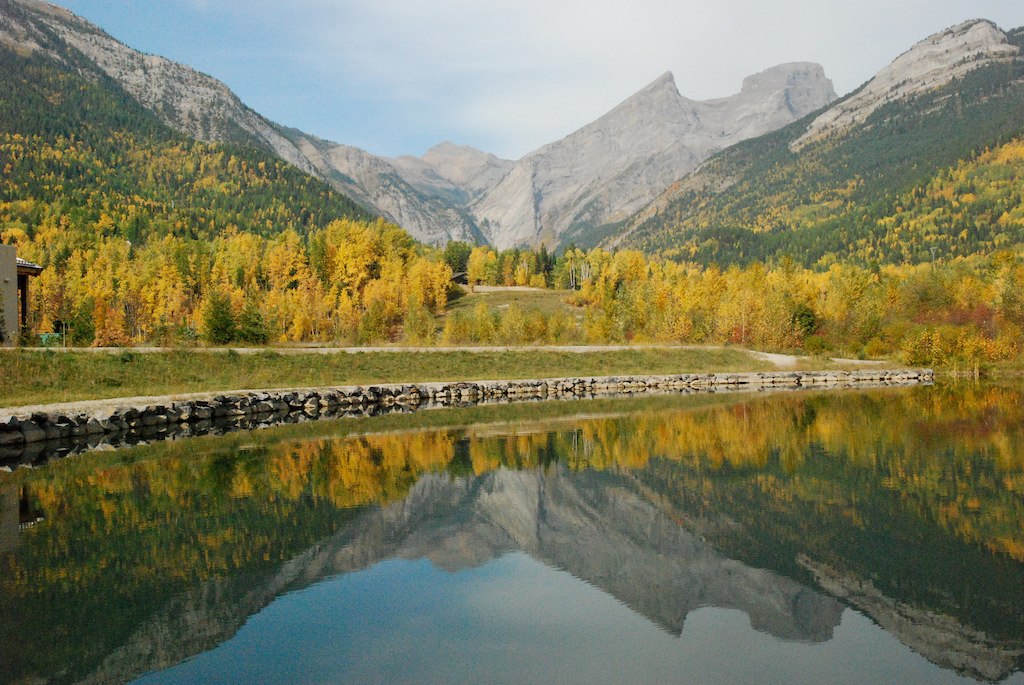
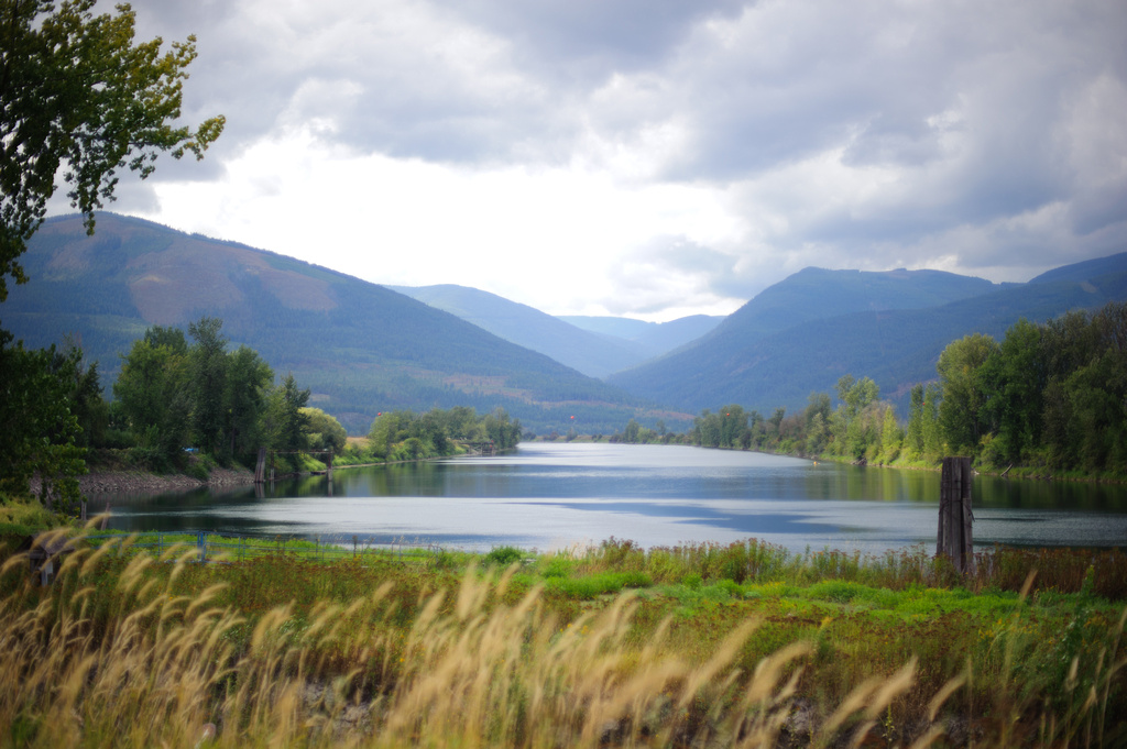
Reflections on Lake, Canada-USA Border crossing on Hwy 21

Selkirk Dave 142
DadsPlace-132

2012-08-05-7858
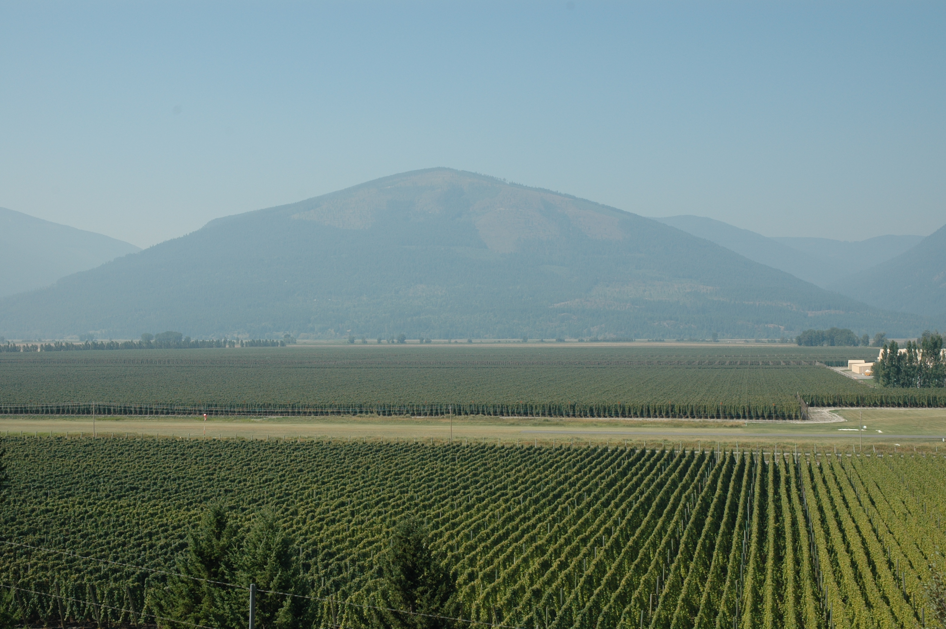
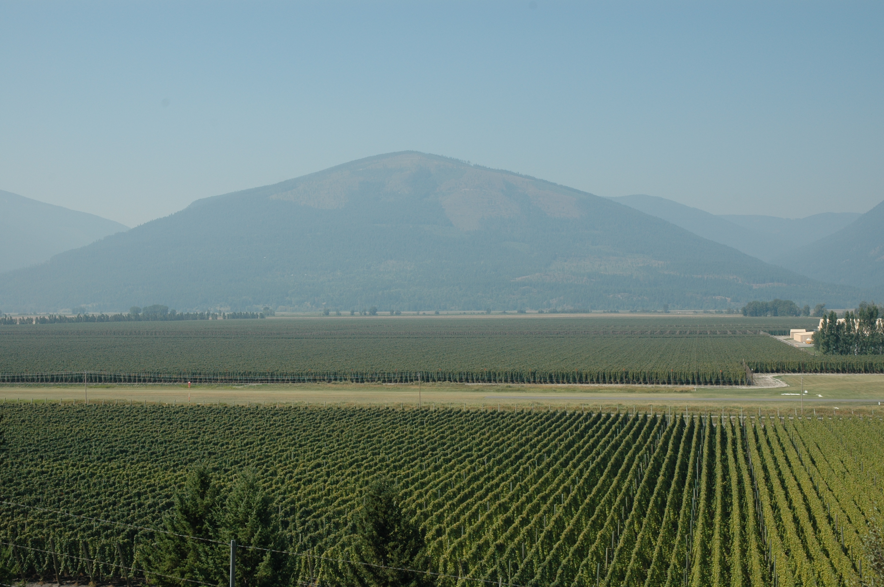
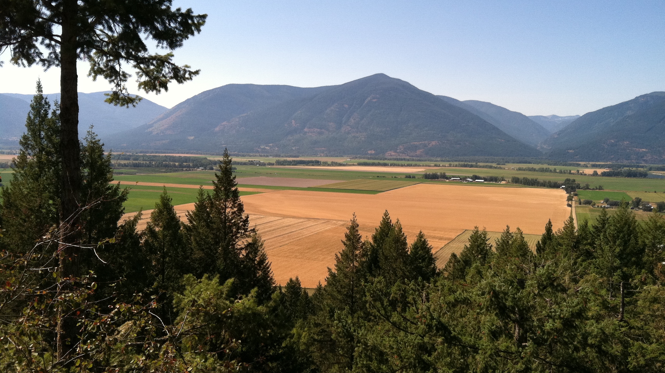
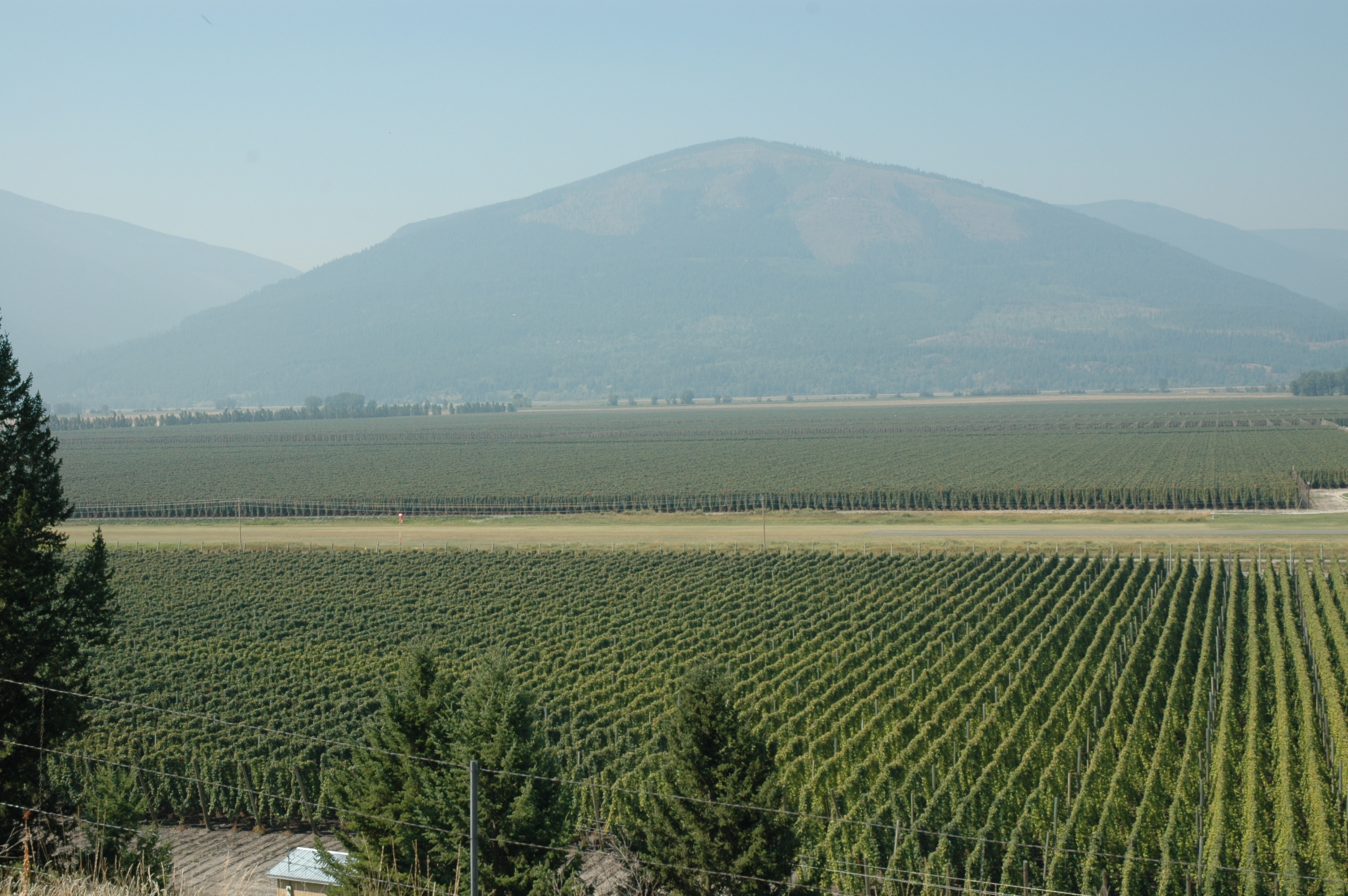
Lower Creston
Selkirk Dave 112

2012-08-05-7845
2012-08-05-7844
2012-08-05-7848
2012-08-05-7862
Topographic Map of Canyon, BC V0B, Canada
Find elevation by address:

Places in Canyon, BC V0B, Canada:
Places near Canyon, BC V0B, Canada:
4320 48 St
4690 Samuelson Rd
Erickson
1126 36 Ave N
Lister
4720 Goat River Rd N
Arrow Creek
229 19 Ave S
616 16 Ave S
1605 Lakeview Arrow Creek Rd
406 16 Ave N
1407 Hillside St
1220 Canyon St
Mount Thompson
Creston
800 Canyon St
1325 Lakeview Arrow Creek Rd
1322 Northwest Blvd
Bearbrook Road
6170 Bc-3a
Recent Searches:
- Elevation of Fern Rd, Whitmore, CA, USA
- Elevation of 62 Abbey St, Marshfield, MA, USA
- Elevation of Fernwood, Bradenton, FL, USA
- Elevation of Felindre, Swansea SA5 7LU, UK
- Elevation of Leyte Industrial Development Estate, Isabel, Leyte, Philippines
- Elevation of W Granada St, Tampa, FL, USA
- Elevation of Pykes Down, Ivybridge PL21 0BY, UK
- Elevation of Jalan Senandin, Lutong, Miri, Sarawak, Malaysia
- Elevation of Bilohirs'k
- Elevation of 30 Oak Lawn Dr, Barkhamsted, CT, USA