Elevation of Canton, MS, USA
Location: United States > Mississippi > Madison County >
Longitude: -90.036751
Latitude: 32.6126381
Elevation: 71m / 233feet
Barometric Pressure: 100KPa
Elevation Map:
Satellite Map:
Related Photos:

Wii trance

Why a Y?
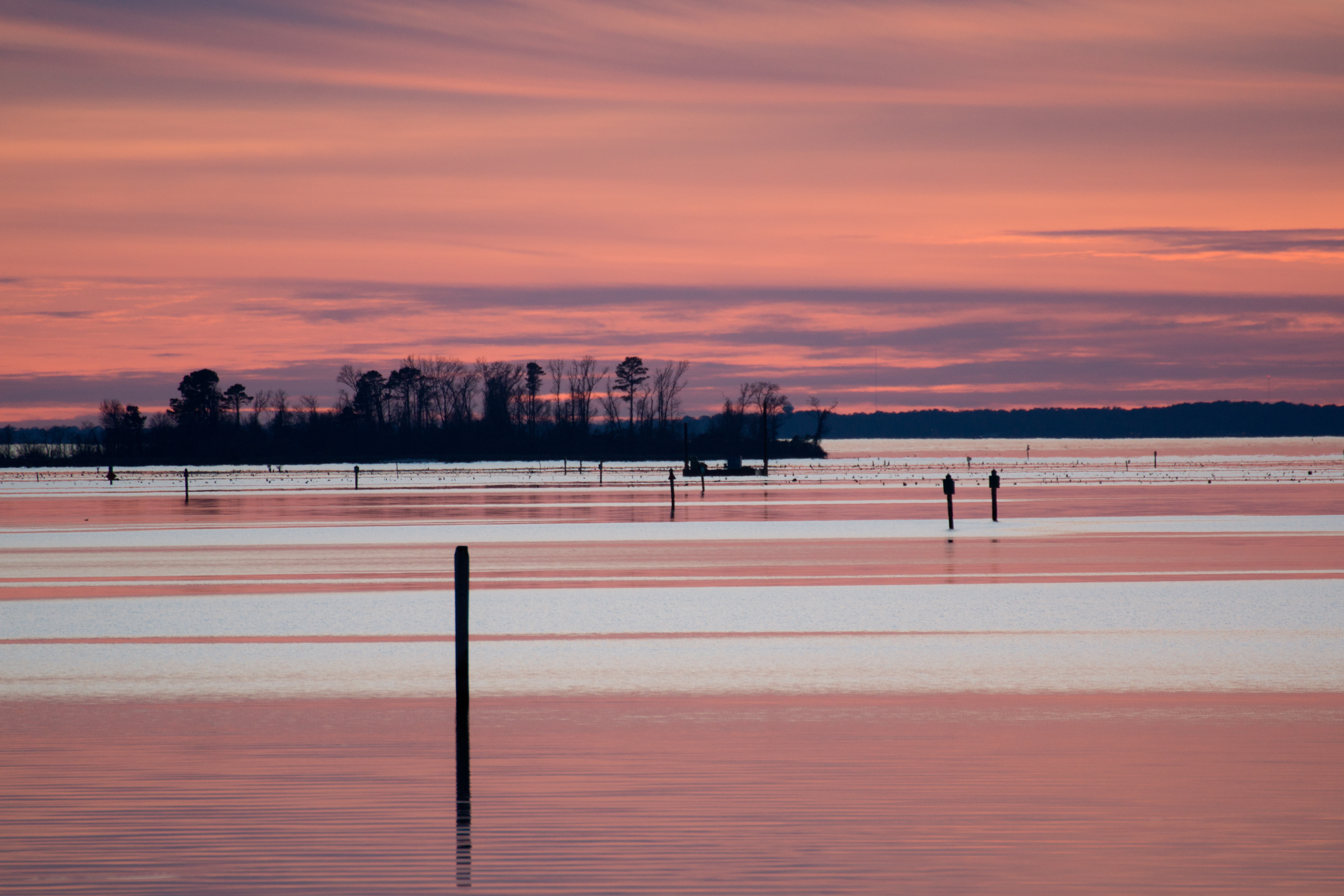
Pink and blue twilight on the reservoir

Daybreak Over Fishing Pier
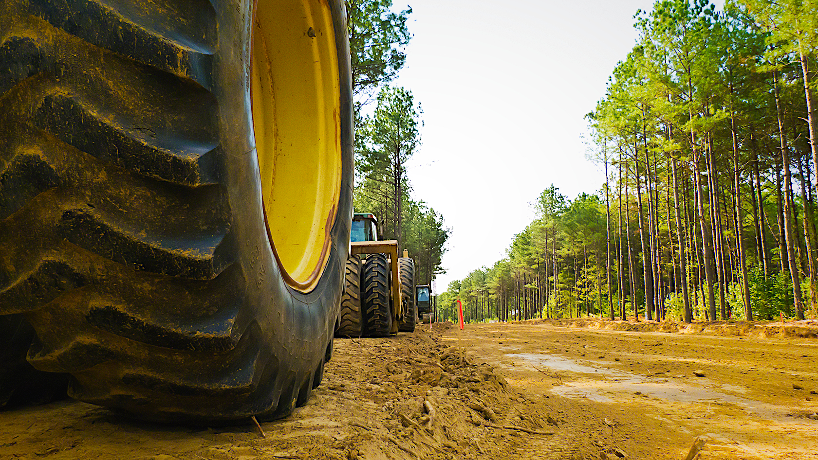
week 37: cutting a new street

View from the Boathouse

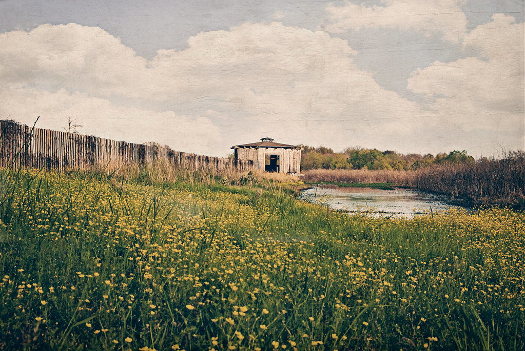
A View From the Fence

First View
Mississippi Waterfowl Refuge Area

Morning Calm
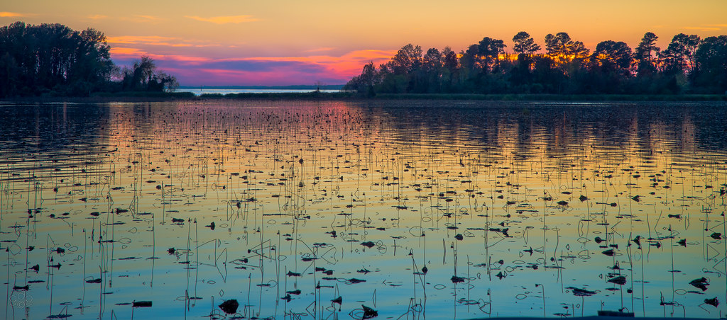
Lake Color
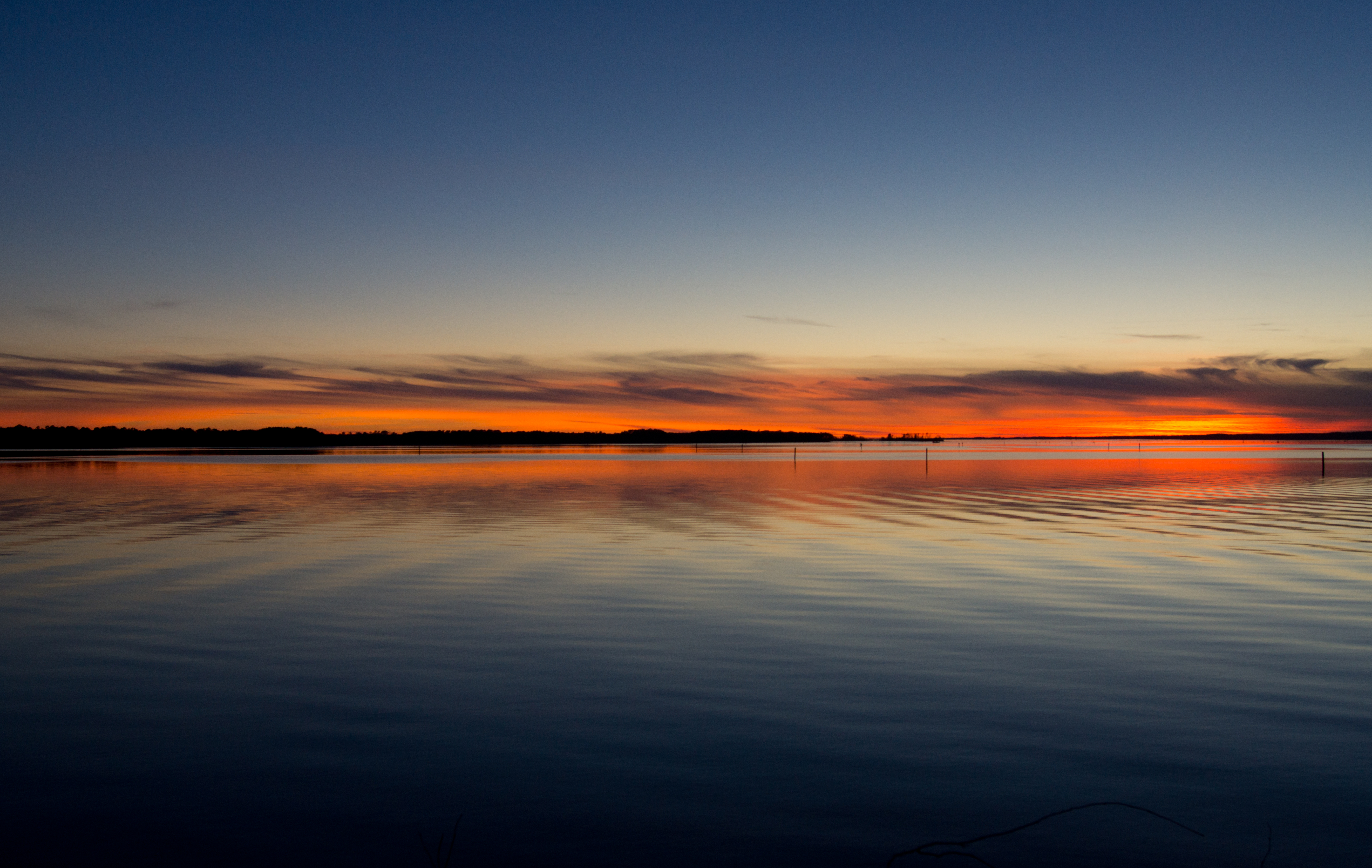
Clearing Storm at Dusk

Evening at Ross Barnett
blue beauty
Lake Reflection

Another One From The Pads
Natchez Trace

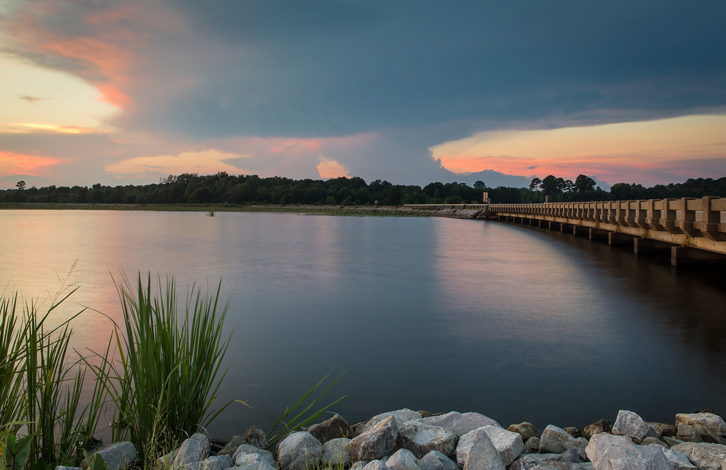
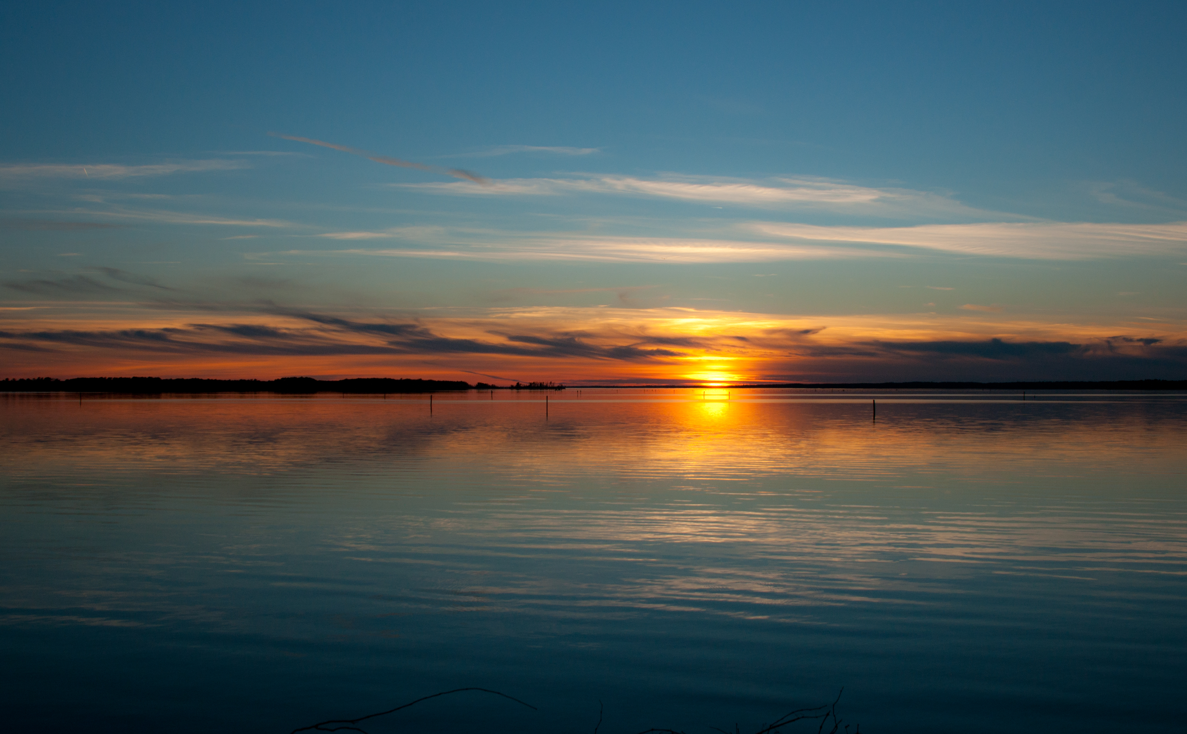
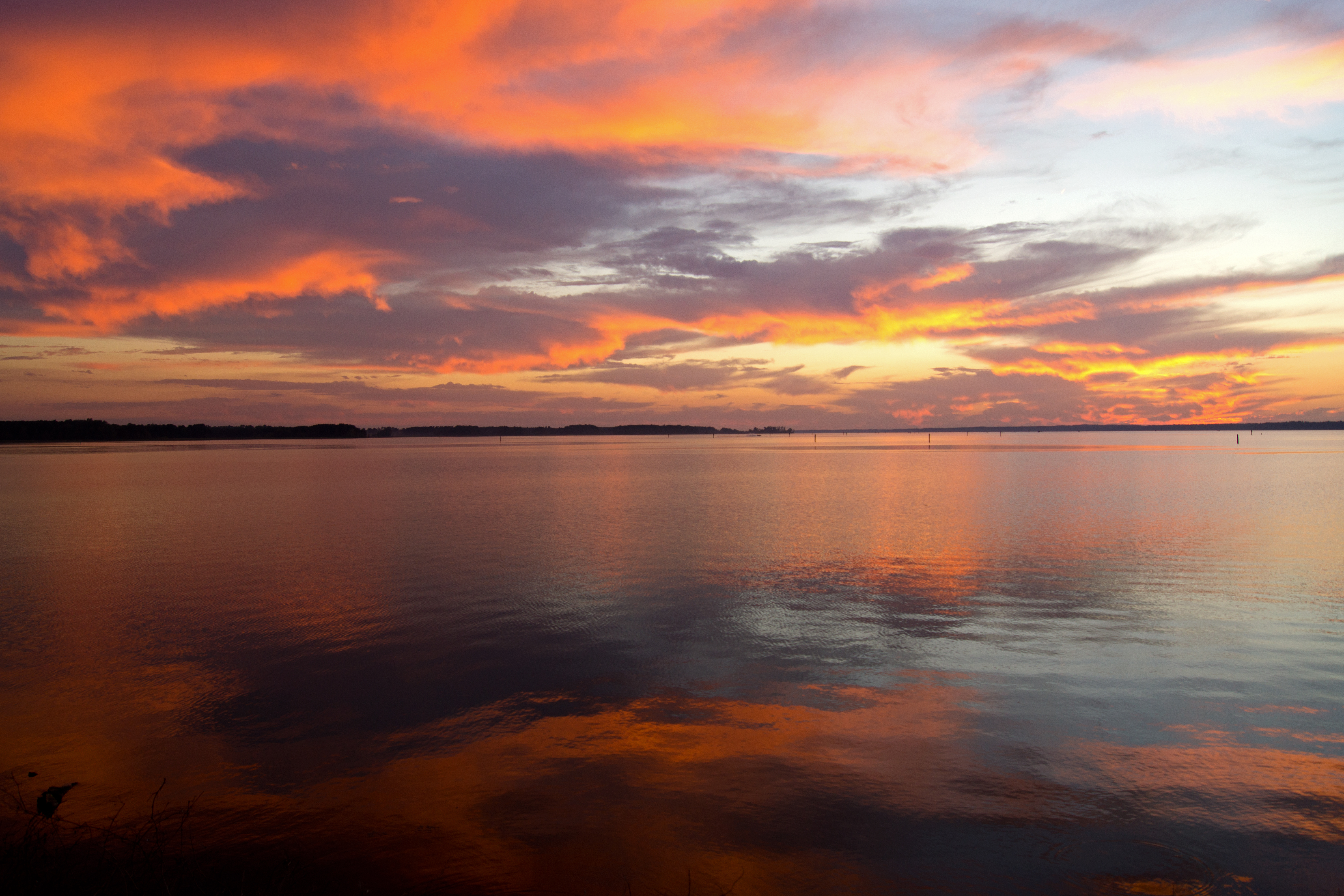
A sweeping sunset on the Ross Barnett Reservoir

Natchez Trace
Natchez Trace
Red and Blue
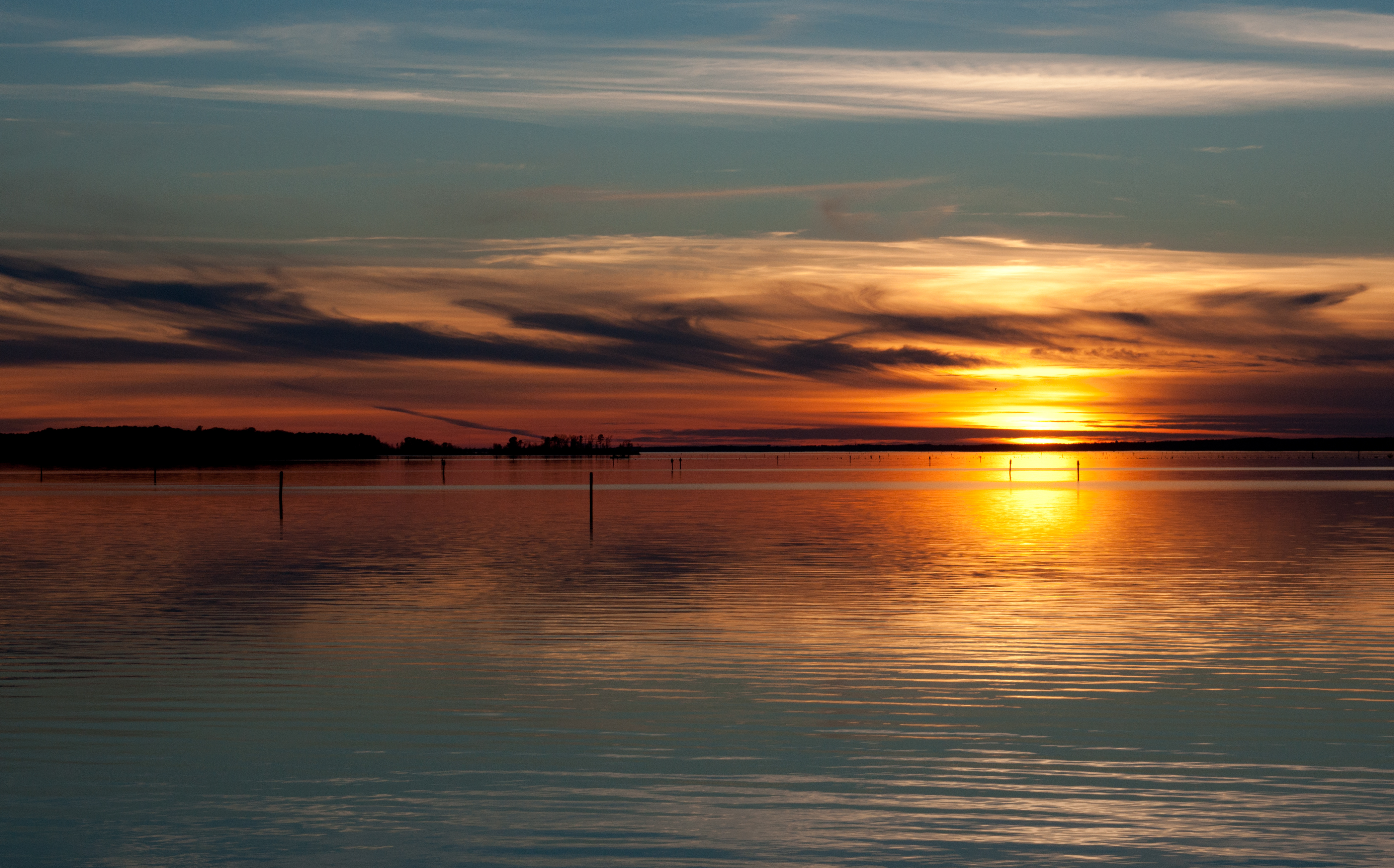
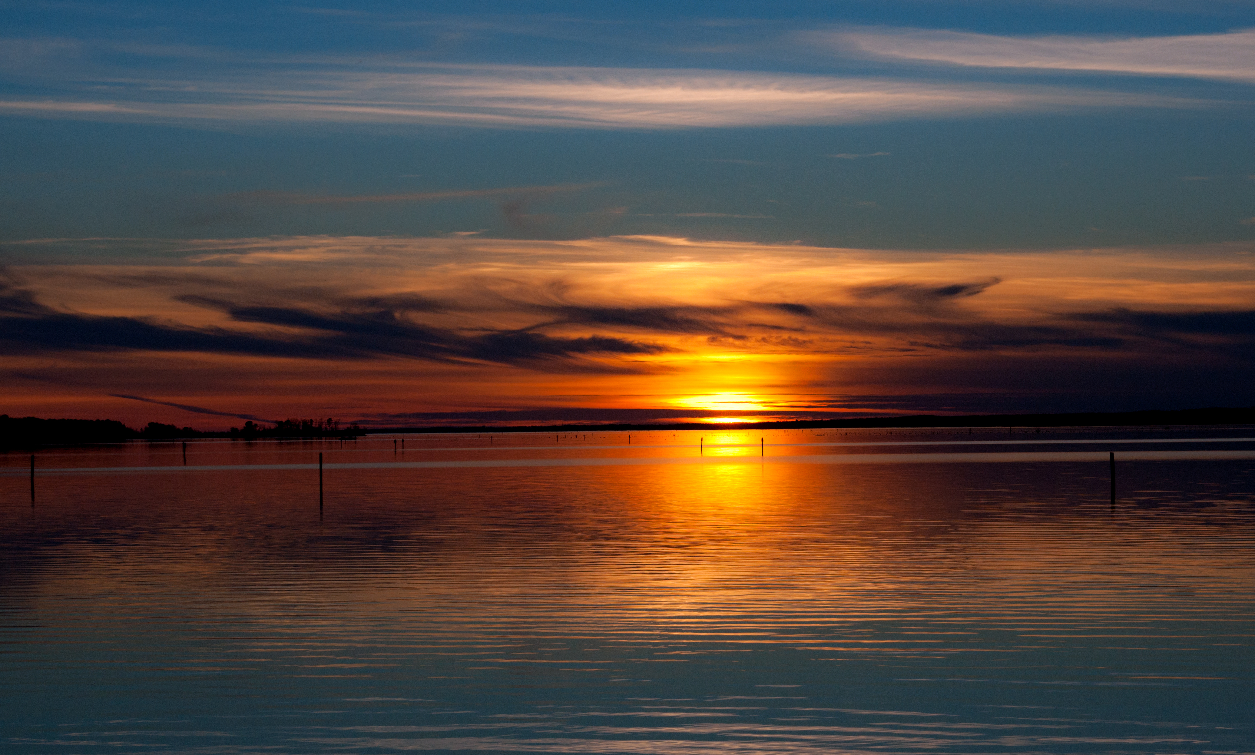
Lake Sunset
Natchez Trace
Sky Reflections
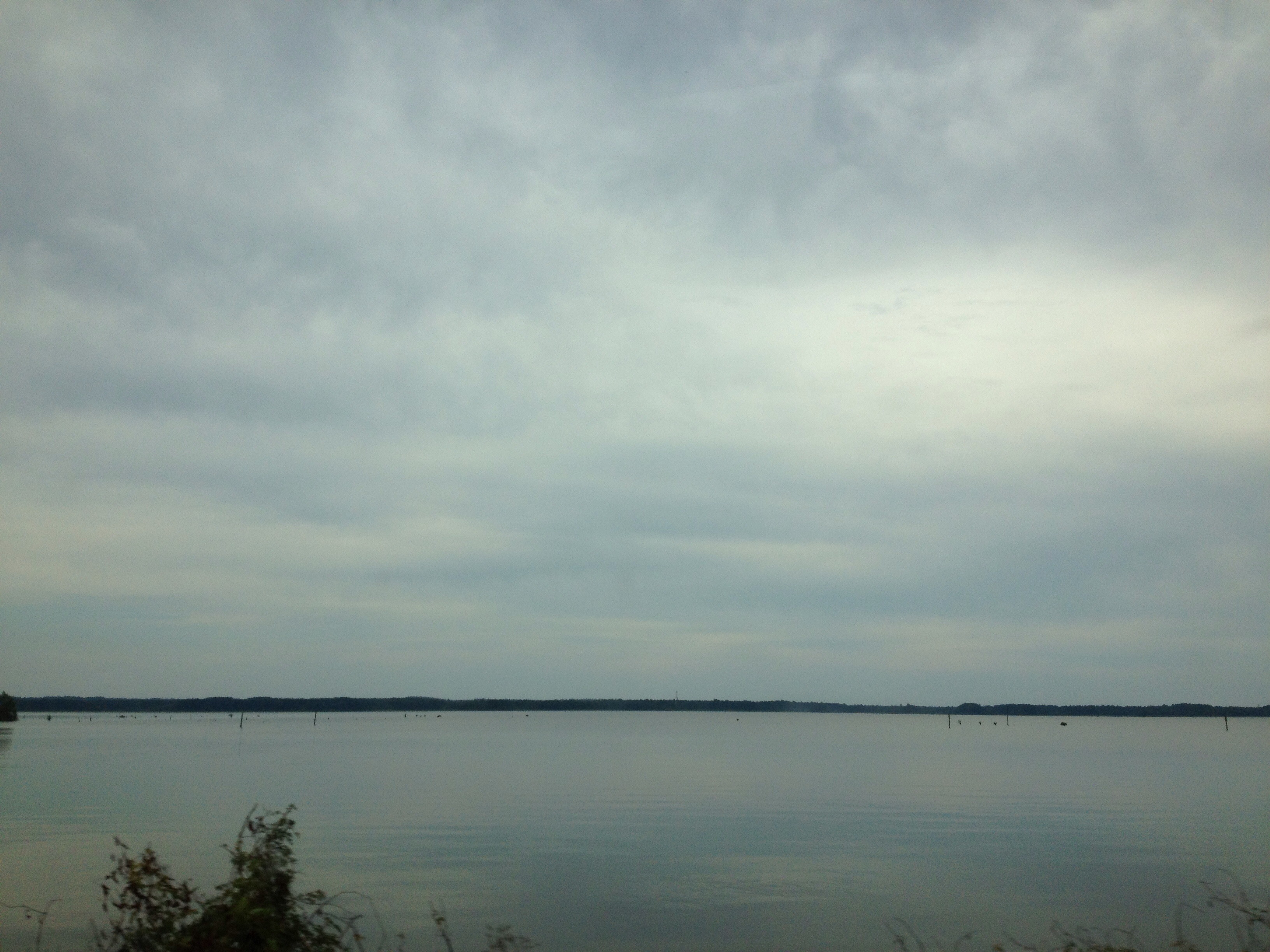
barnett reservoir
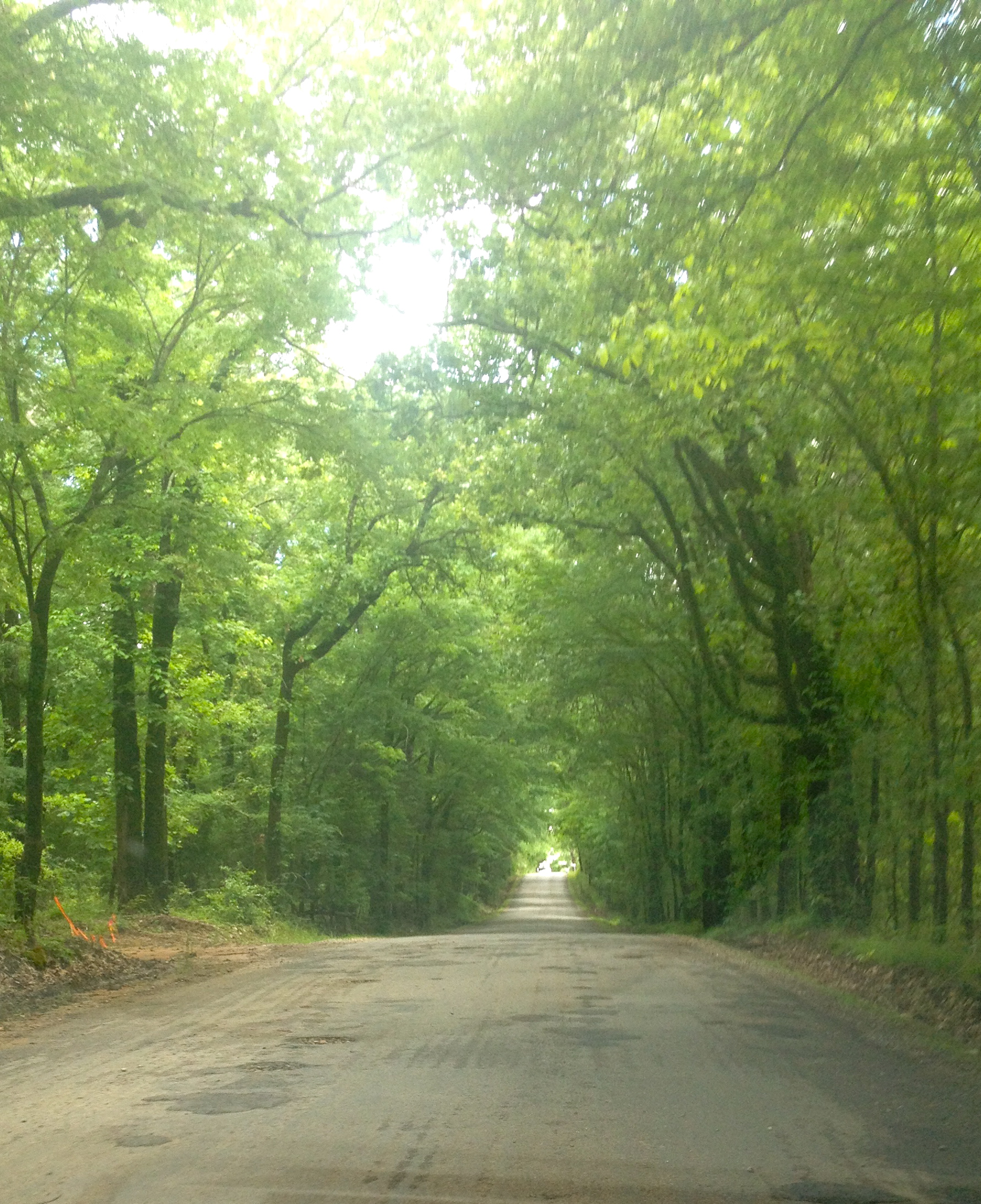
Dewees Rd
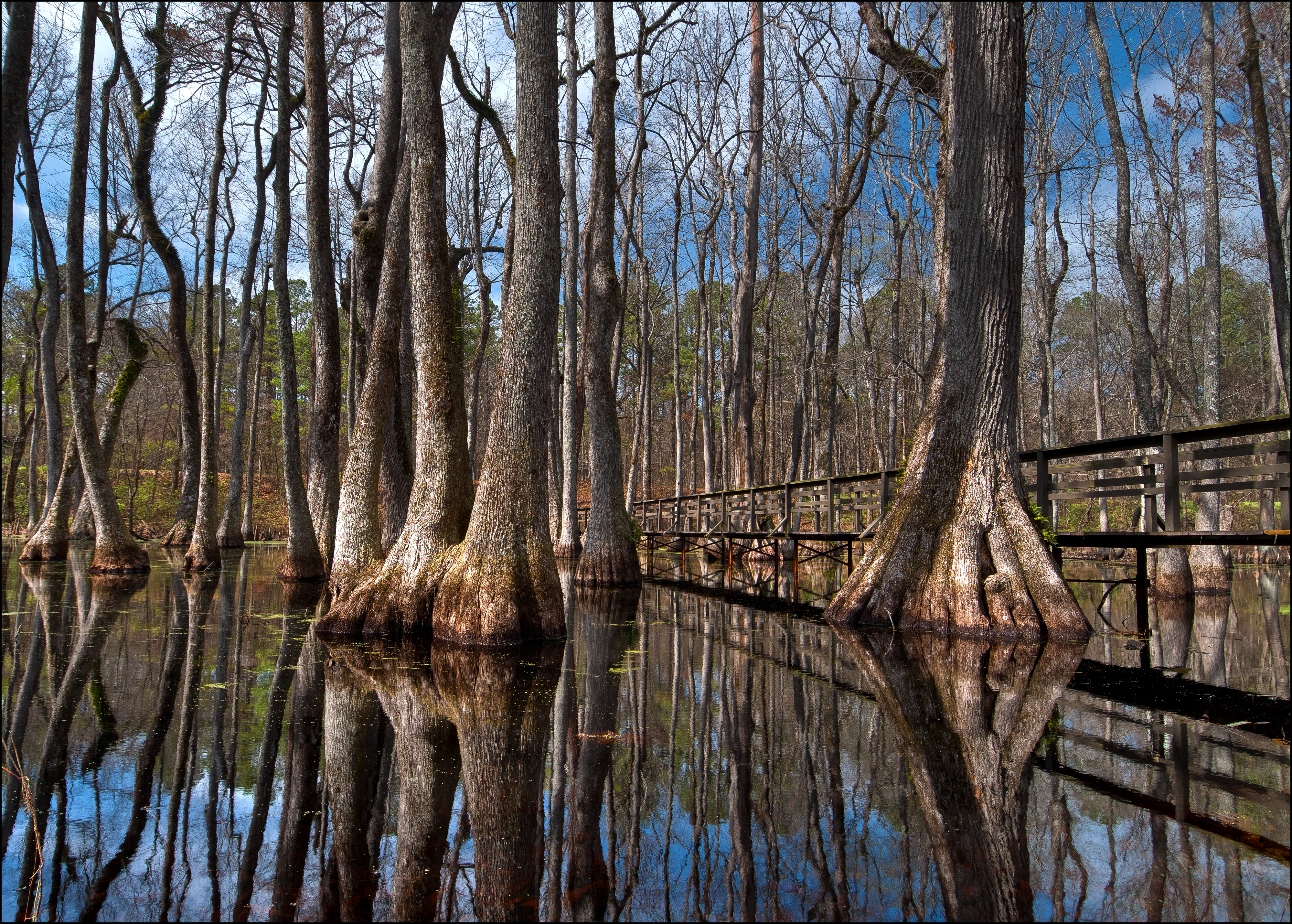
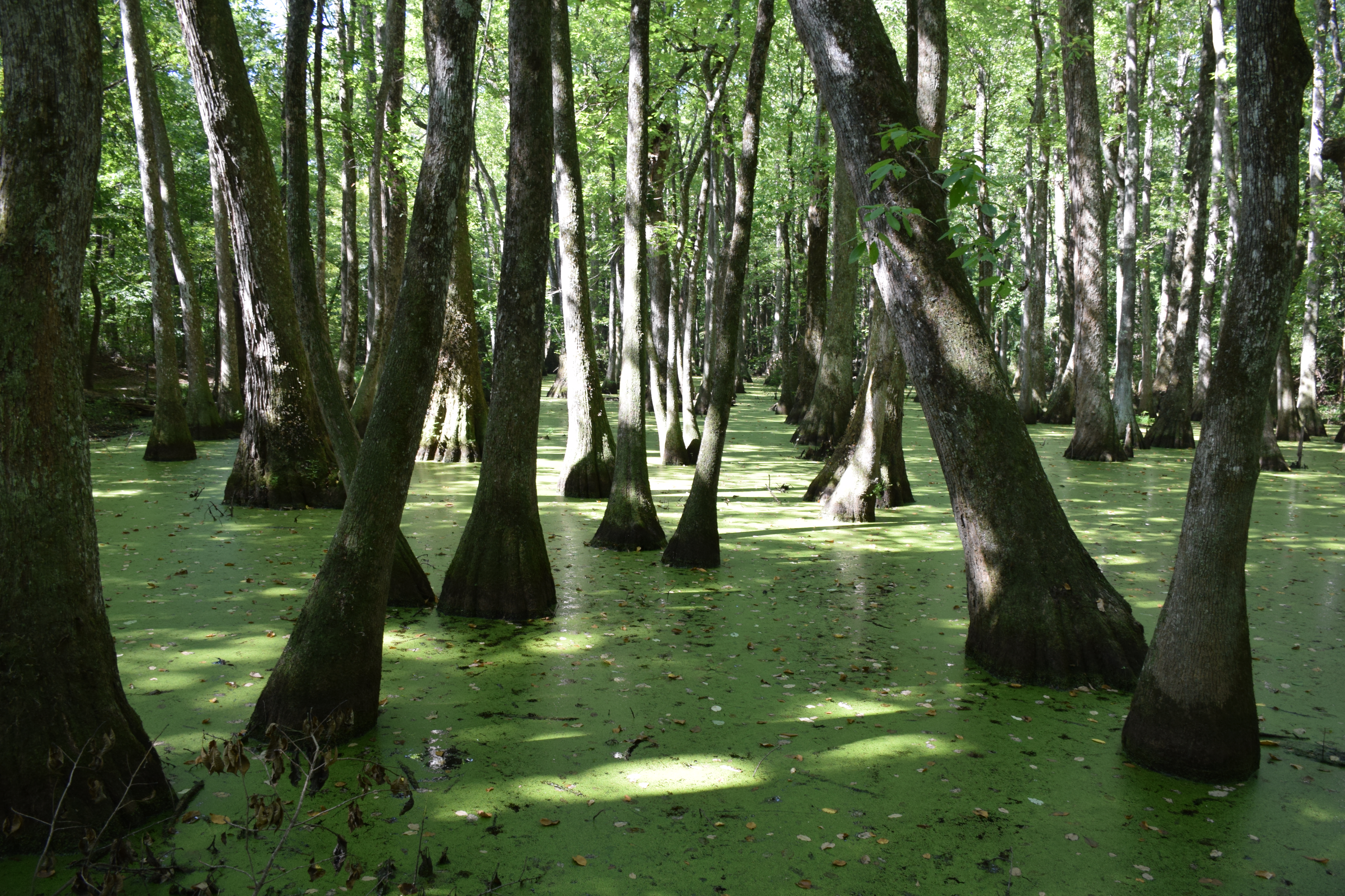
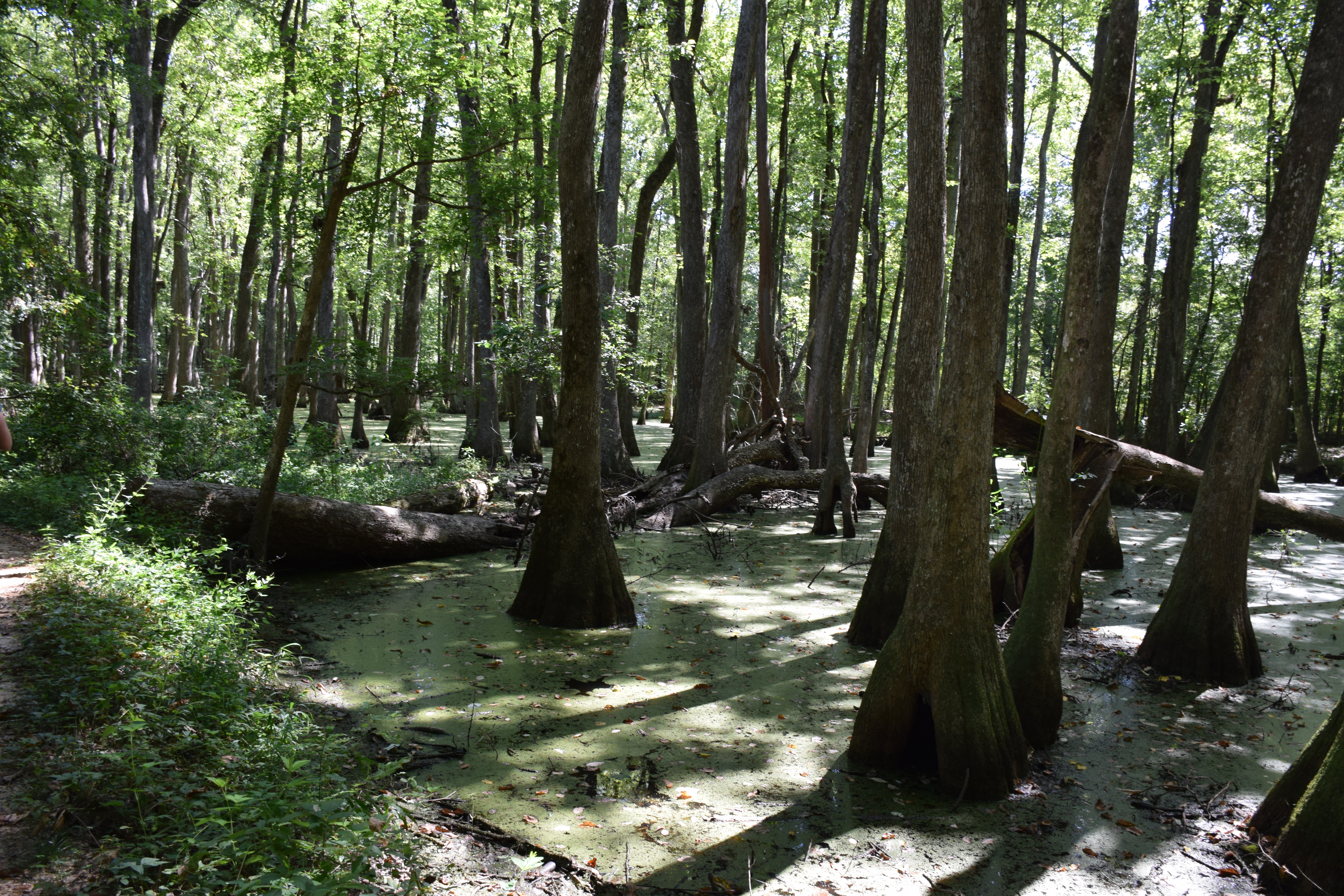
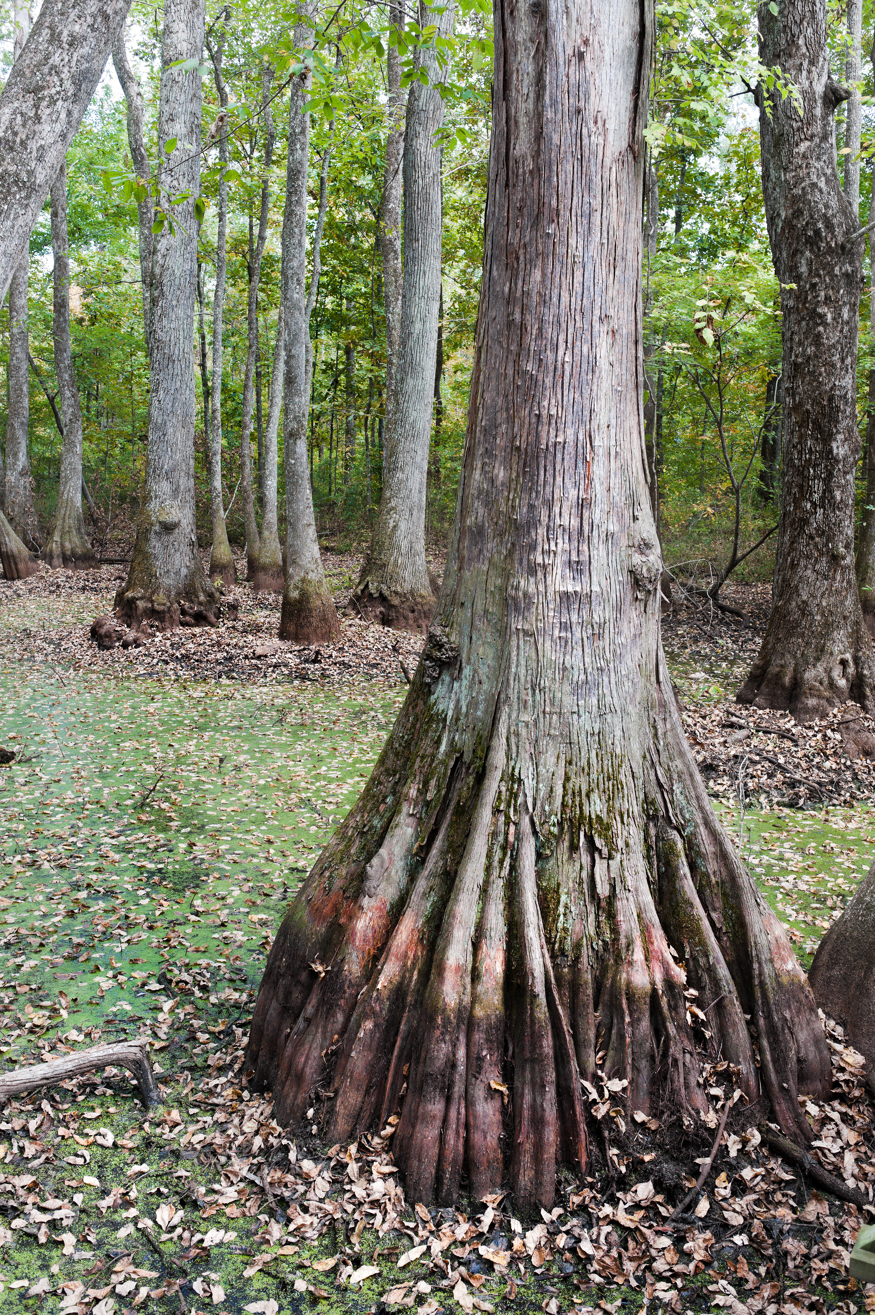
Cypress Swamp
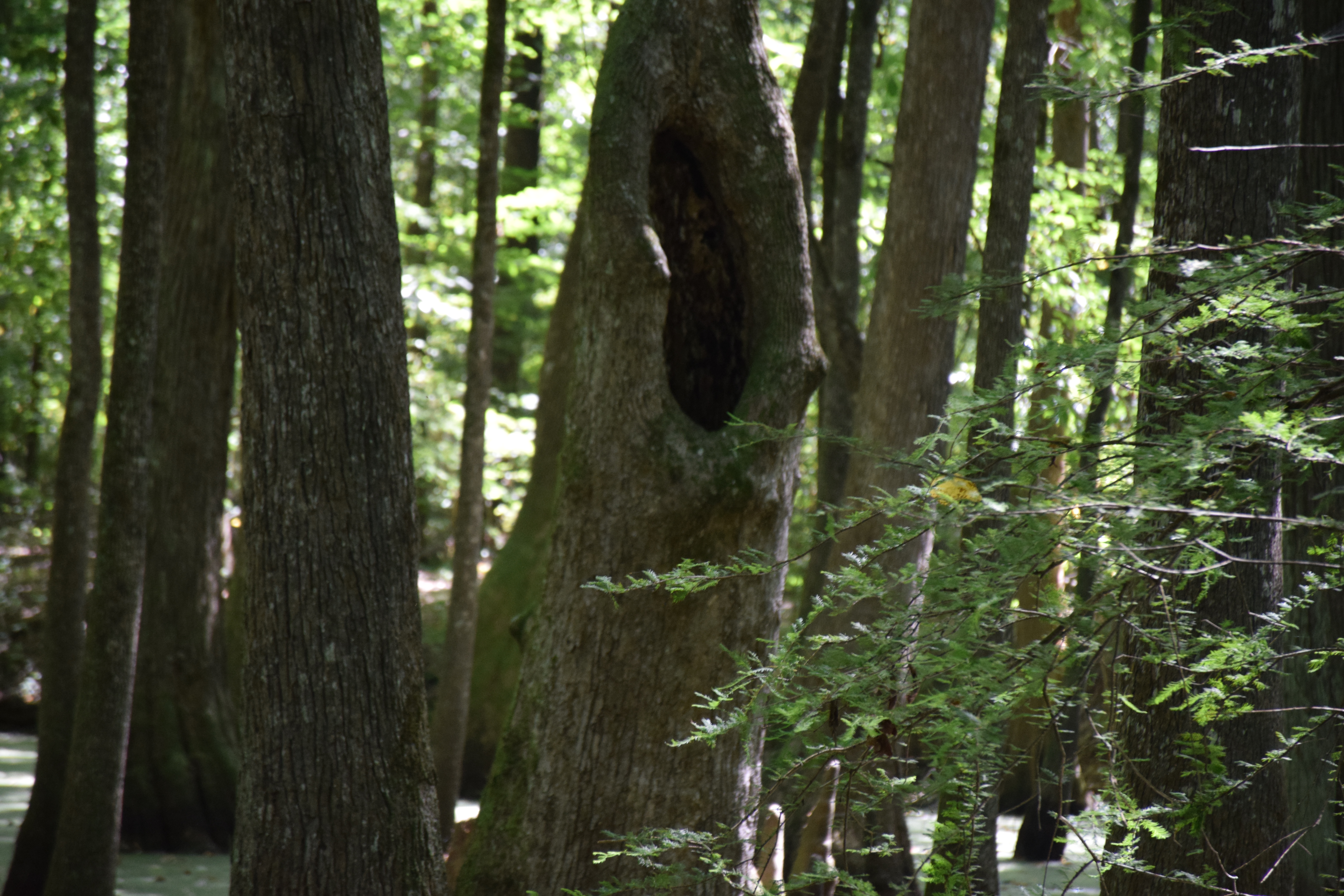
Natchez Trace Trip
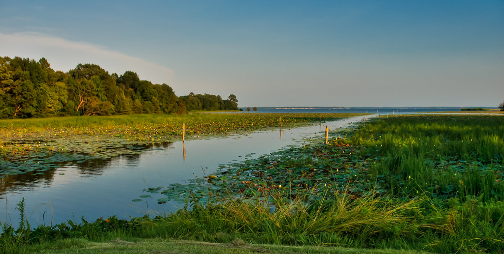
Boat Channel to the Reservoir
Topographic Map of Canton, MS, USA
Find elevation by address:

Places in Canton, MS, USA:
Places near Canton, MS, USA:
N Union St, Canton, MS, USA
1950 N Old Canton Rd
Madison County
Davis Crossing Rd, Canton, MS, USA
341 Davis Crossing Rd
264 Deerfield Club Dr
Gluckstadt Rd, Madison, MS, USA
150 Sagefield Square
Way Rd, Canton, MS, USA
139 Belle Terre Dr
155 Lake Ridge Dr
Twin Lakes Circle
Ross R Barnett Reservoir
581 Bedford Cir
Comstock Ln, Madison, MS, USA
Arapaho Ln, Madison, MS, USA
Madison
Gluckstadt Rd, Madison, MS, USA
Traceland St, Madison, MS, USA
Coachmans Rd, Madison, MS, USA
Recent Searches:
- Elevation of Elwyn Dr, Roanoke Rapids, NC, USA
- Elevation of Congressional Dr, Stevensville, MD, USA
- Elevation of Bellview Rd, McLean, VA, USA
- Elevation of Stage Island Rd, Chatham, MA, USA
- Elevation of Shibuya Scramble Crossing, 21 Udagawacho, Shibuya City, Tokyo -, Japan
- Elevation of Jadagoniai, Kaunas District Municipality, Lithuania
- Elevation of Pagonija rock, Kranto 7-oji g. 8"N, Kaunas, Lithuania
- Elevation of Co Rd 87, Jamestown, CO, USA
- Elevation of Tenjo, Cundinamarca, Colombia
- Elevation of Côte-des-Neiges, Montreal, QC H4A 3J6, Canada